Scotland Orkney & the Outer Hebrides Tour – Day Three, Orkney
Scotland Tour on day three was sightseeing on the mainland of Orkney Islands. 732
Standing Stones of Stenness: Stromness KW16 3JZ
Maeshowe: Maes Howe, Stoneyhill Rd, Stromness KW16 3HQ
Skara Brae: B9056, Stromness KW16 3LR
Ring of Brodgar: B9055, Stromness KW16 3JZ
Wideford Hill: Kirkwall KW15 1TR
Date Picture Taken: August 2023
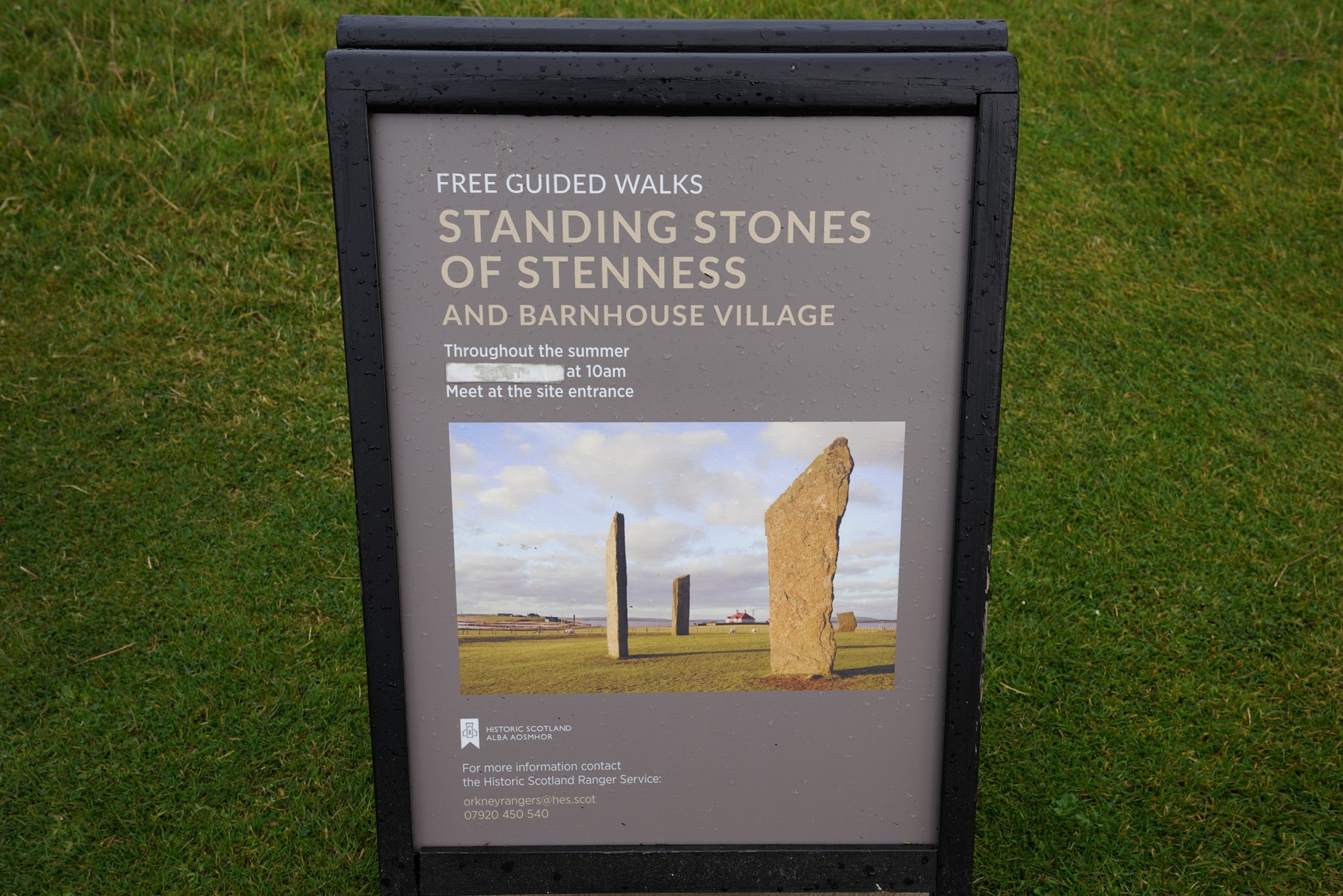
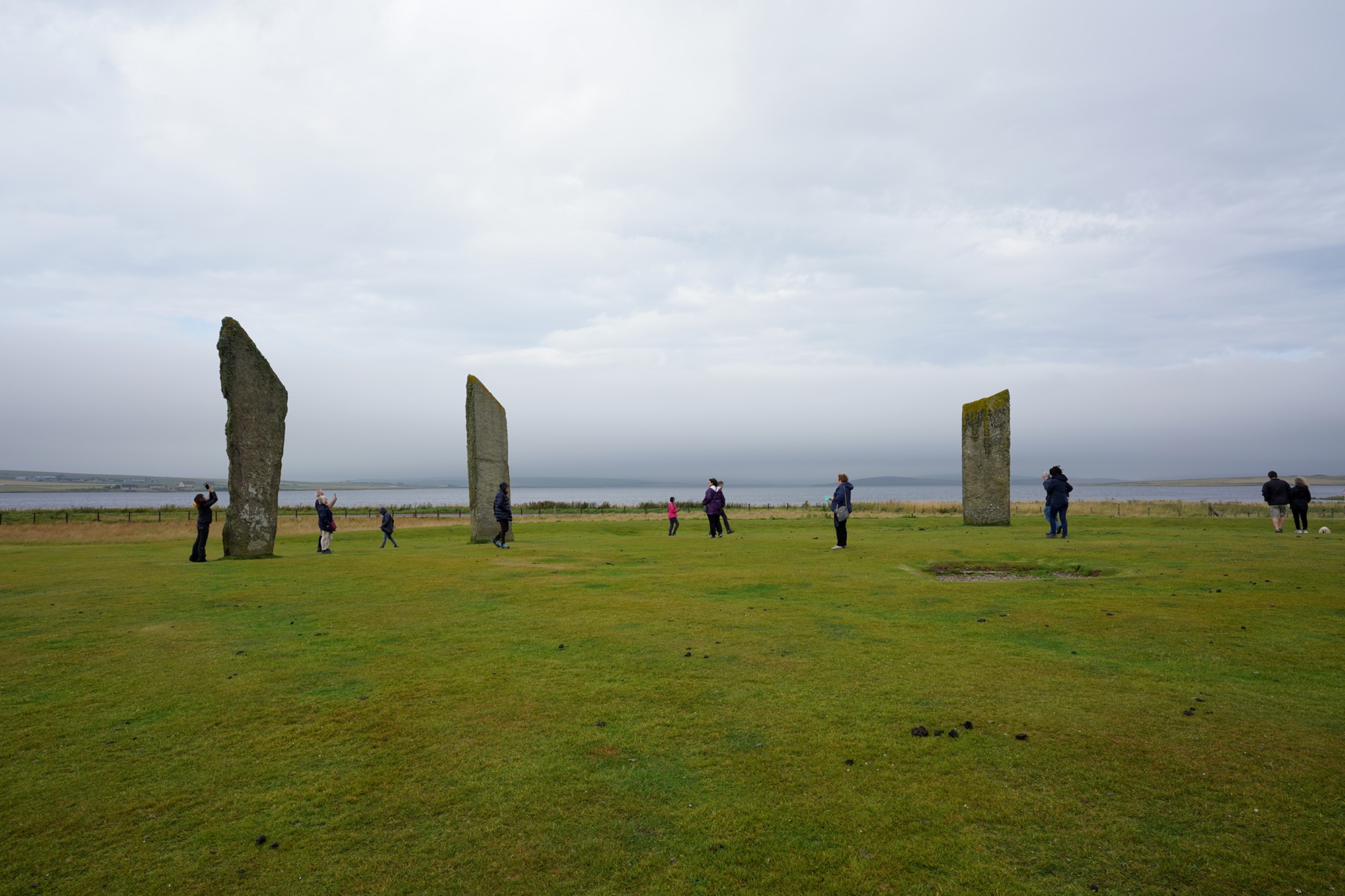
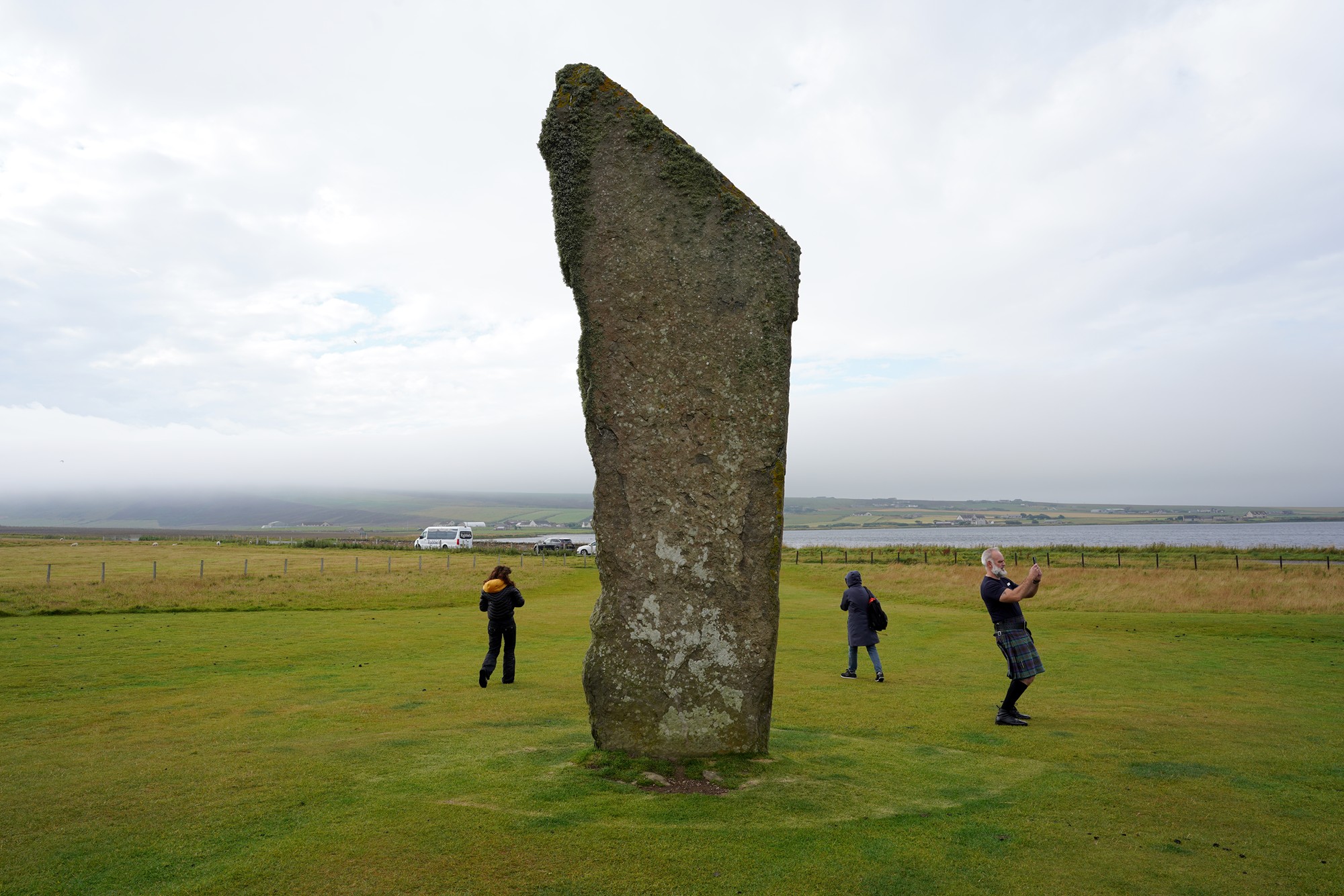
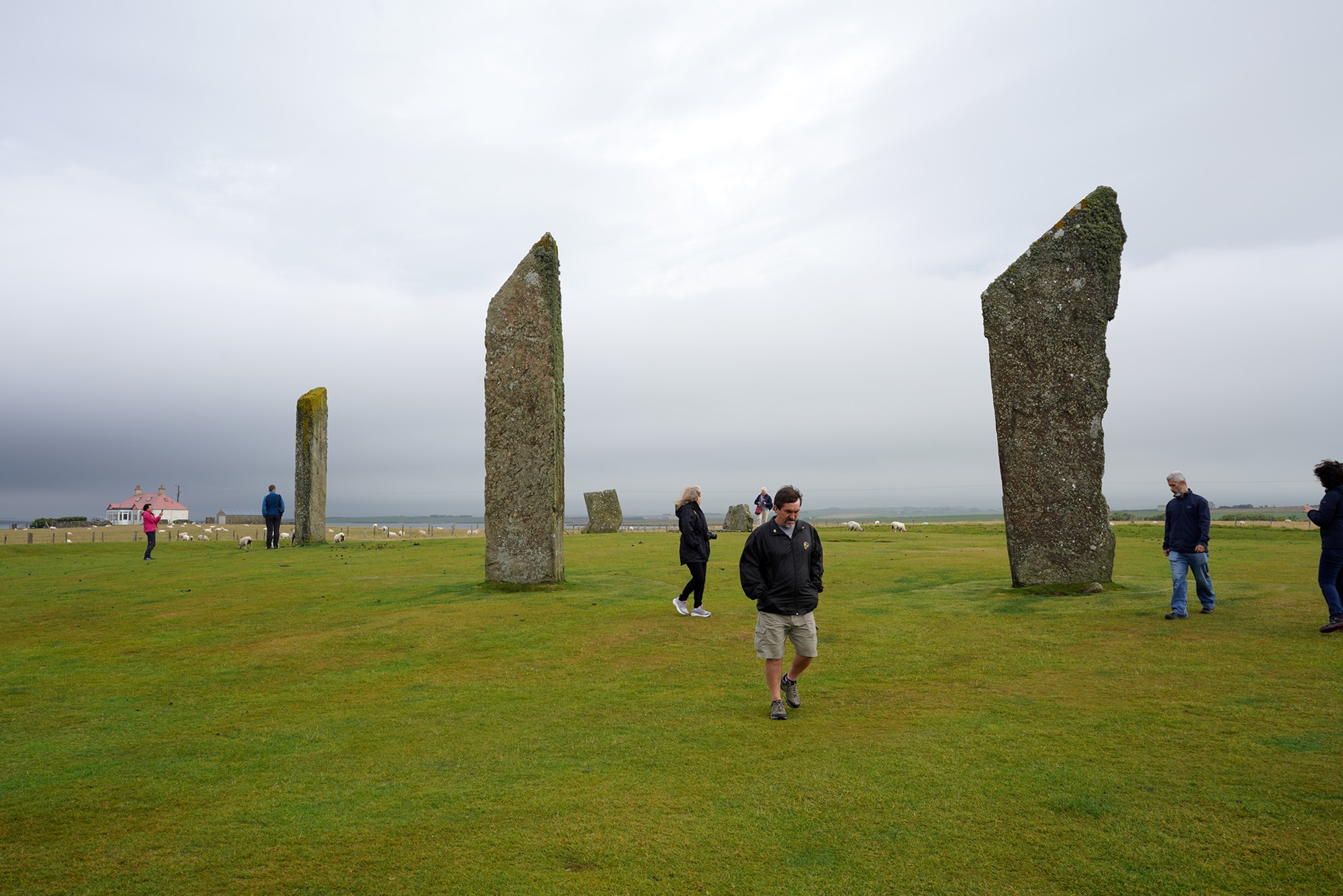
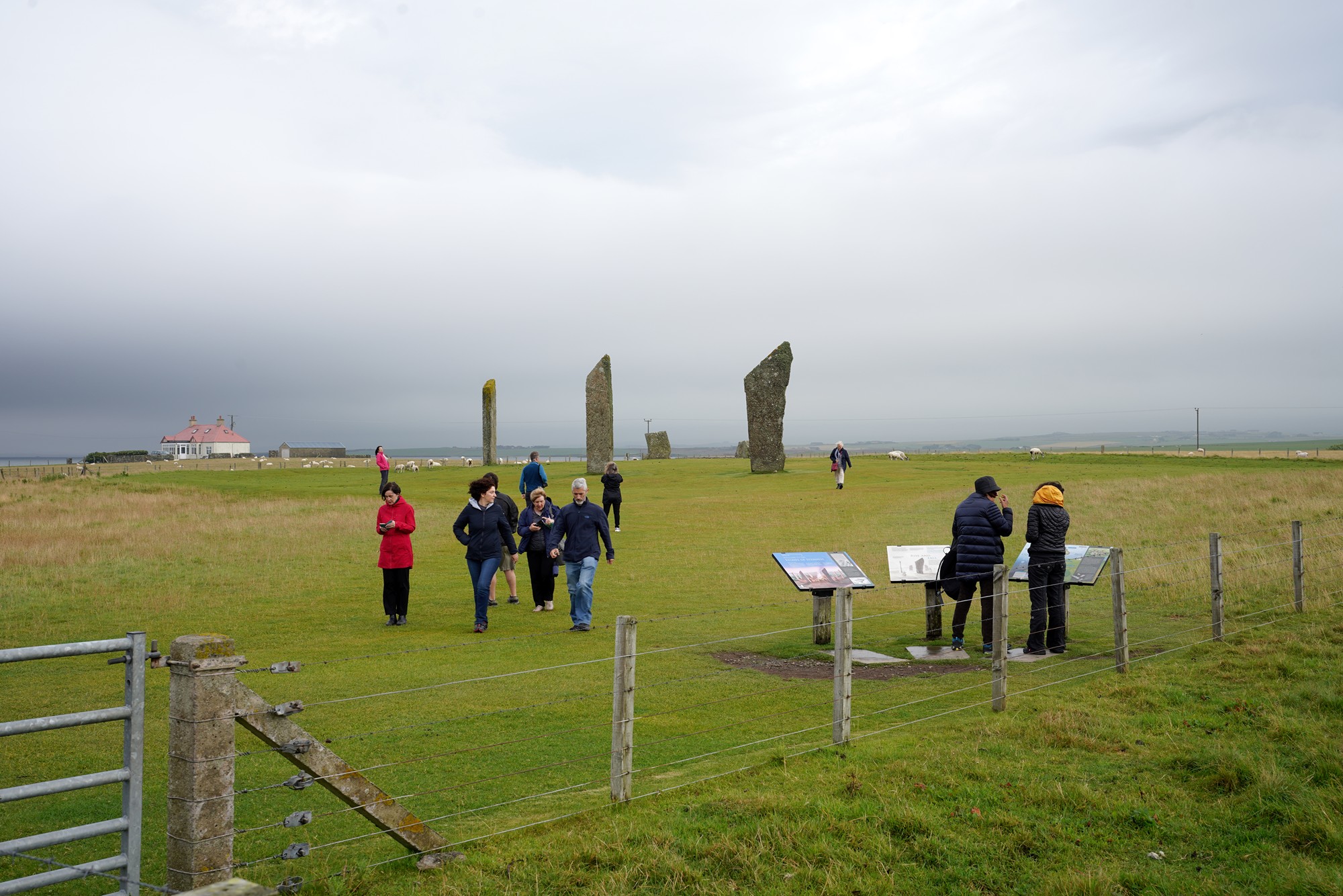
The first sight on the day’s tour was Standing Stones of Stenness.
The Standing Stones of Stenness is a prehistoric monument located on the mainland of Orkney, Scotland. It is one of the most important Neolithic sites in the British Isles and forms part of the Heart of Neolithic Orkney World Heritage Site, which also includes other famous sites such as the Ring of Brodgar and Skara Brae.
The Standing Stones of Stenness consist of four massive upright stones arranged in a rectangular shape. Originally, there were likely more stones in the arrangement, but only four remain standing today. The tallest stone is about 5.7 meters (18.7 feet) in height. The stones are made of local sandstone and are set into a circular ditch that was dug into the bedrock.
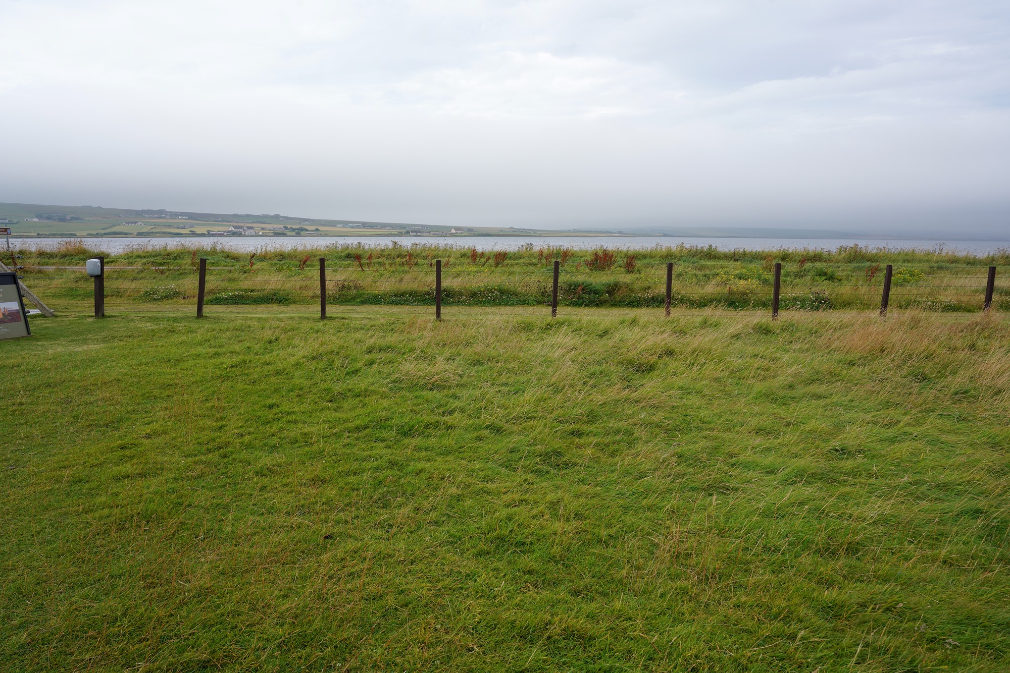
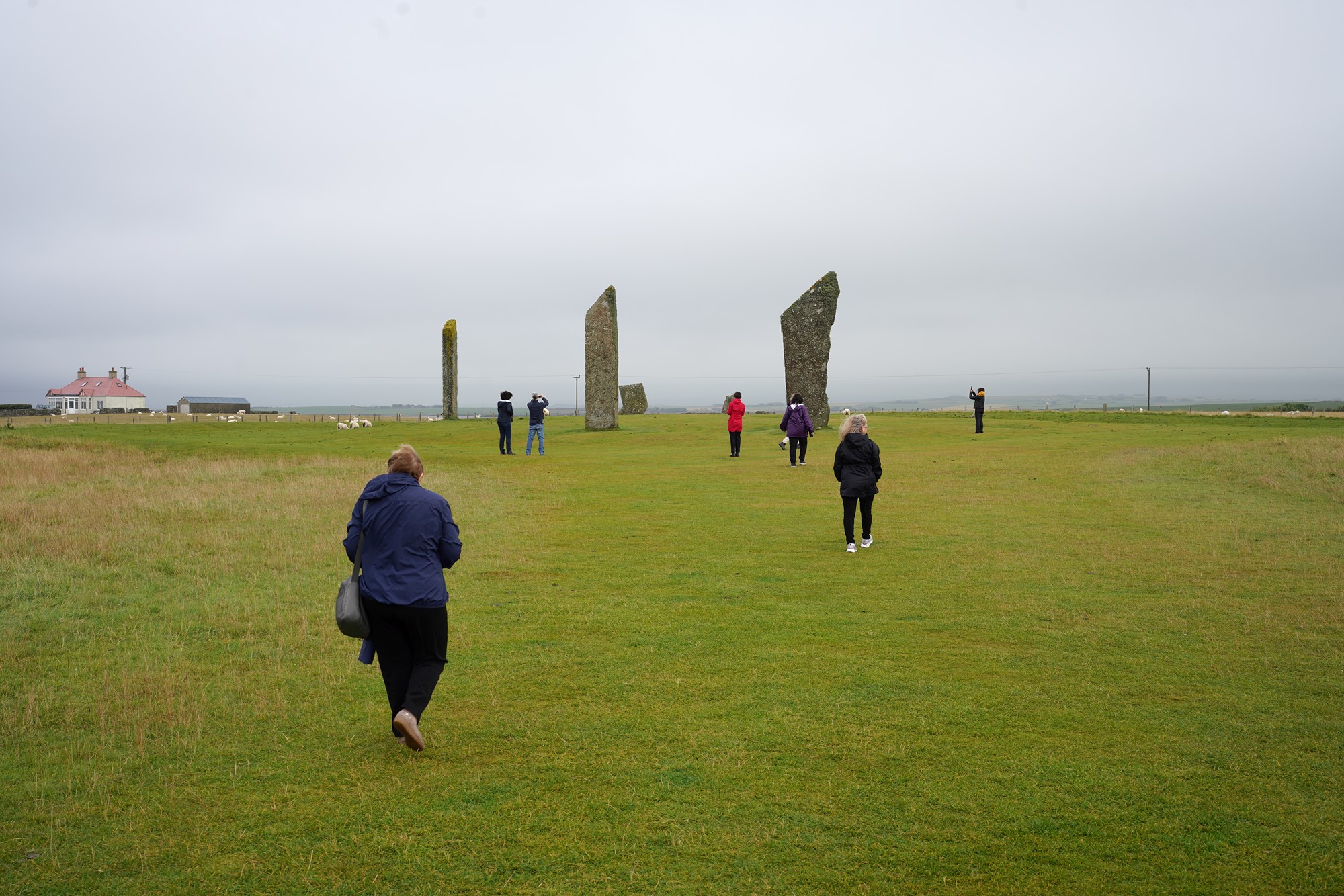
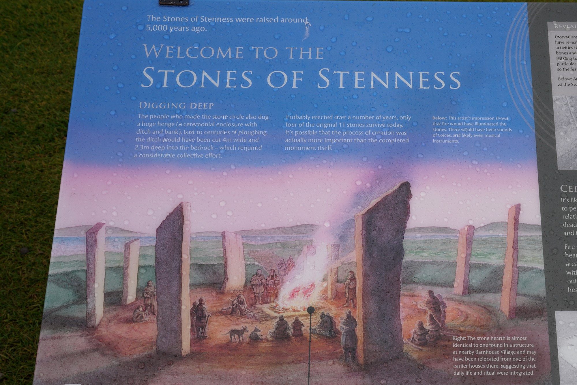
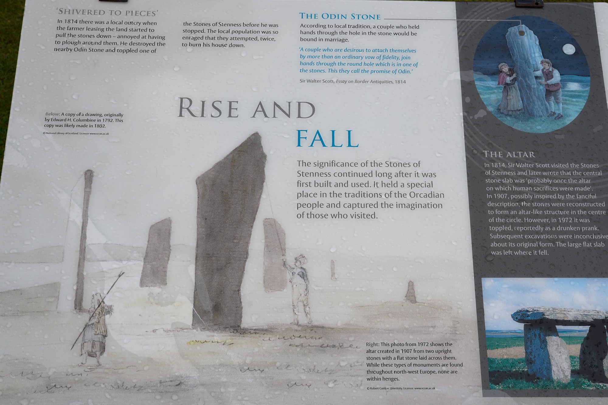
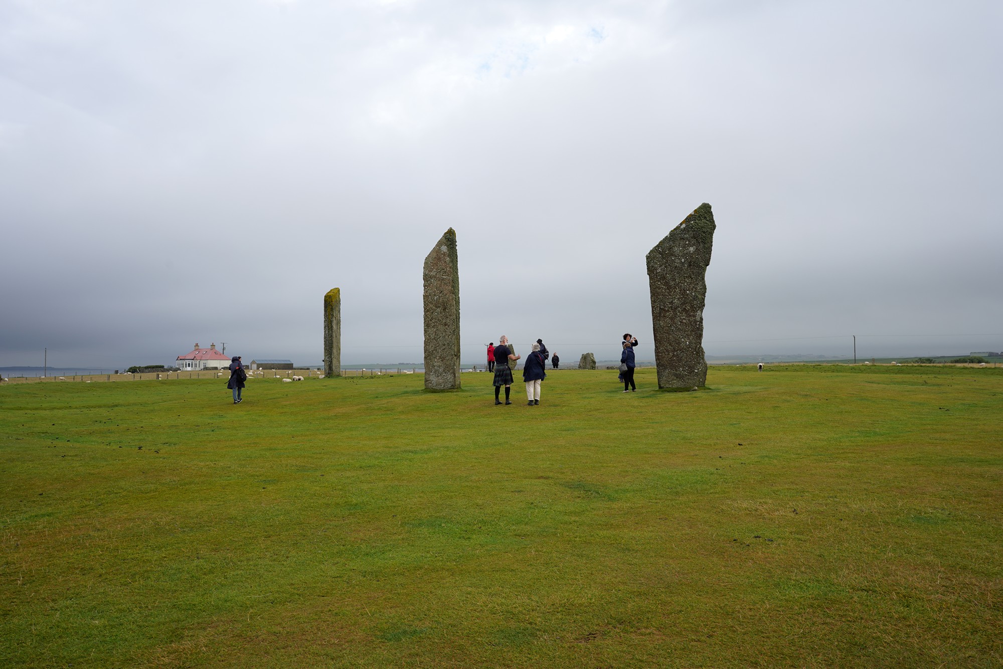
The purpose of the Standing Stones of Stenness is still a subject of speculation and research among archaeologists. They are believed to have been erected around 3100 BC during the Neolithic period, making them over 5,000 years old. Possible functions for the site include religious or ceremonial activities, astronomical observations, or social gatherings.
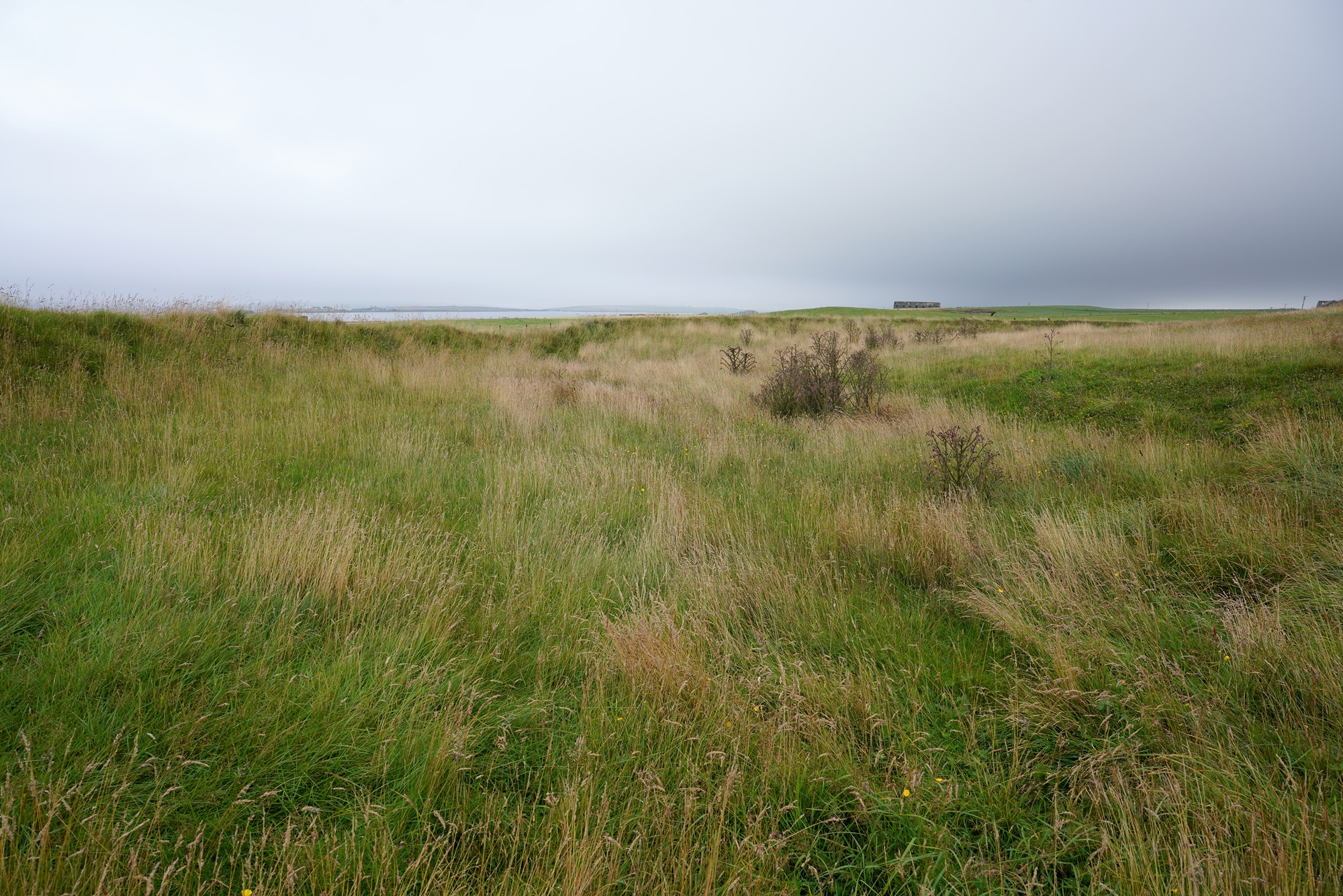
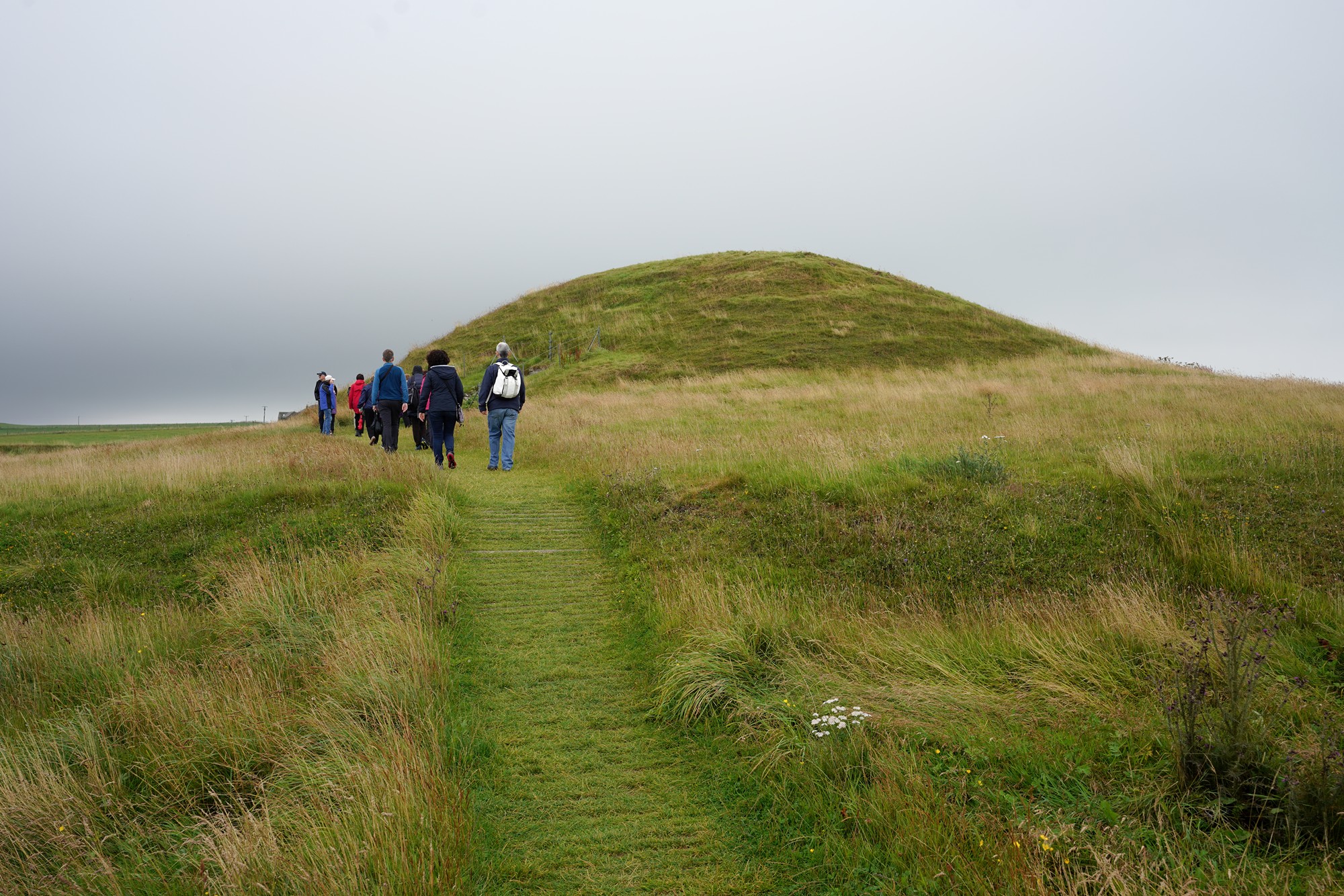
Next stop was at Maeshowe. It is an ancient chambered tomb known for its Viking graffiti and aligned with the winter solstice. Maeshowe is one of the finest Neolithic tombs in Europe.
Maeshowe was built around 2800 BC, making it over 5,000 years old. It is a large stone chambered tomb, characterized by its circular shape and interior passageway.
Some think it was not a tomb since tombs have no passageway, but this one does.
The picture was not allowed inside the chamber

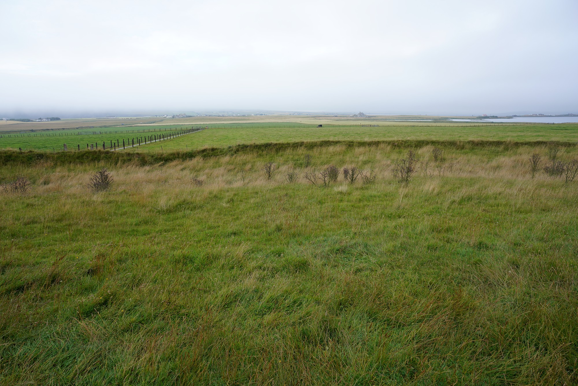
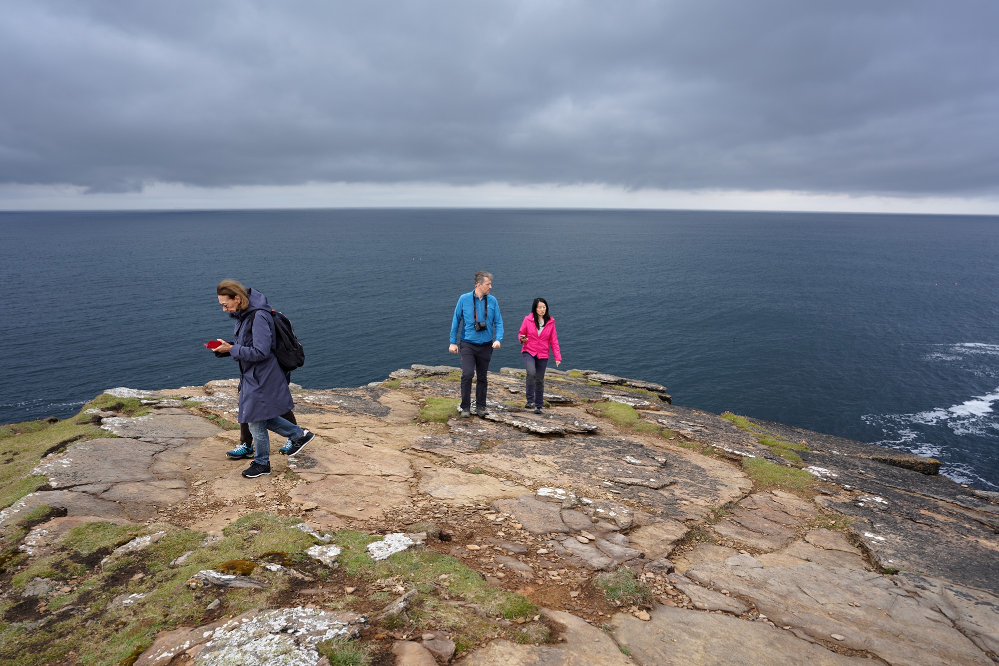
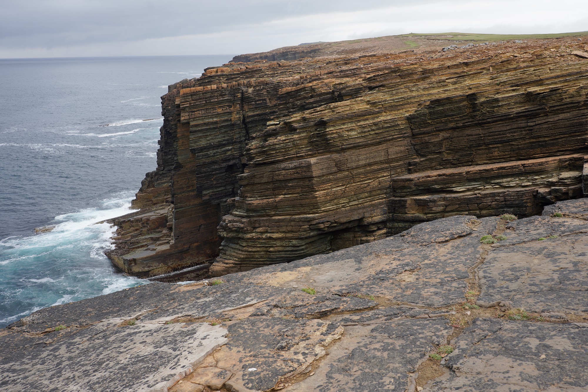
The next stop was Yesnaby. It is famous for its dramatic cliffs that rise dramatically from the sea, creating a stunning and awe-inspiring landscape. The cliffs are composed of sandstone and are carved by the relentless action of the waves.
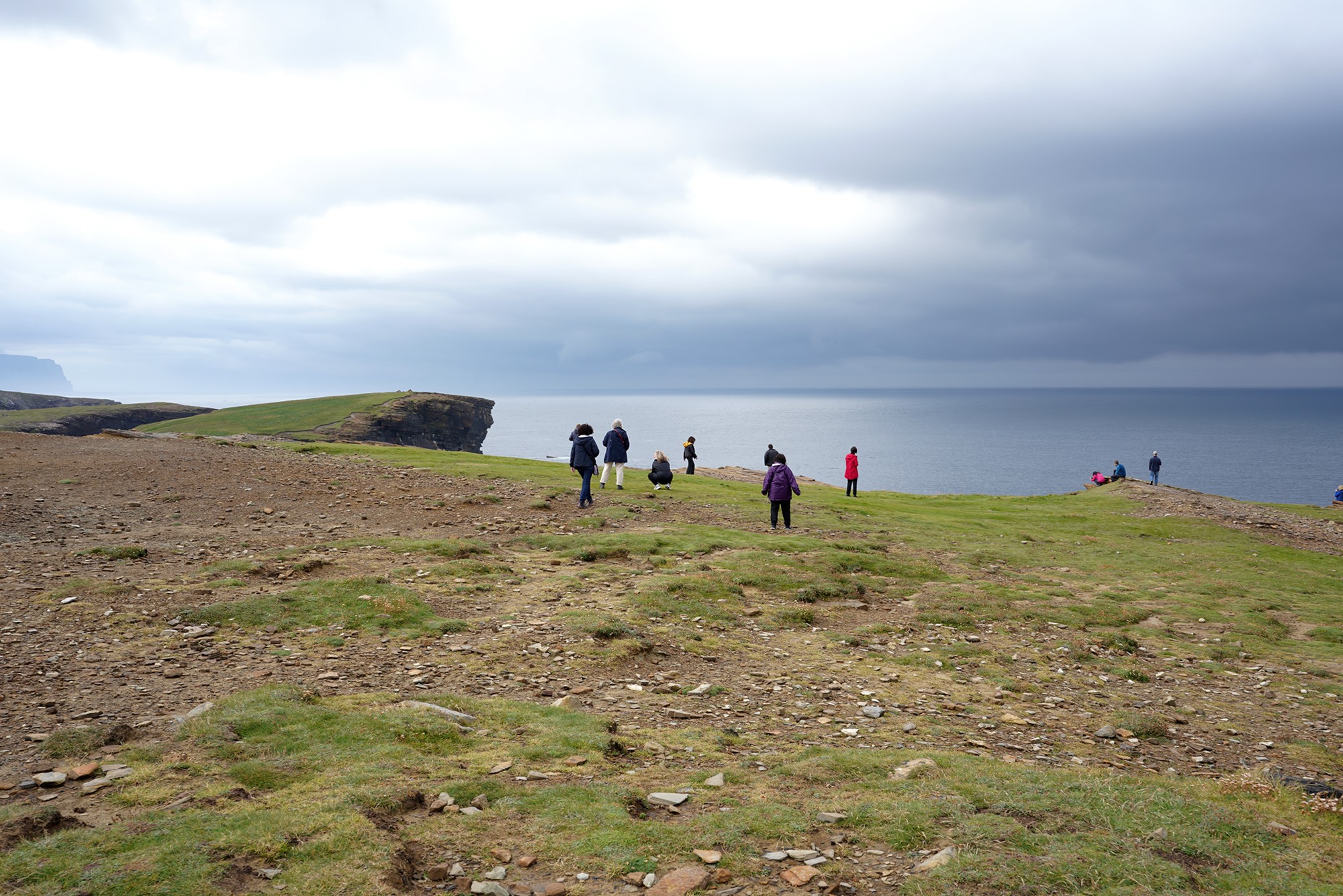
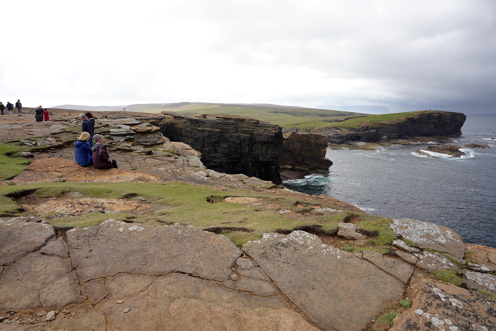
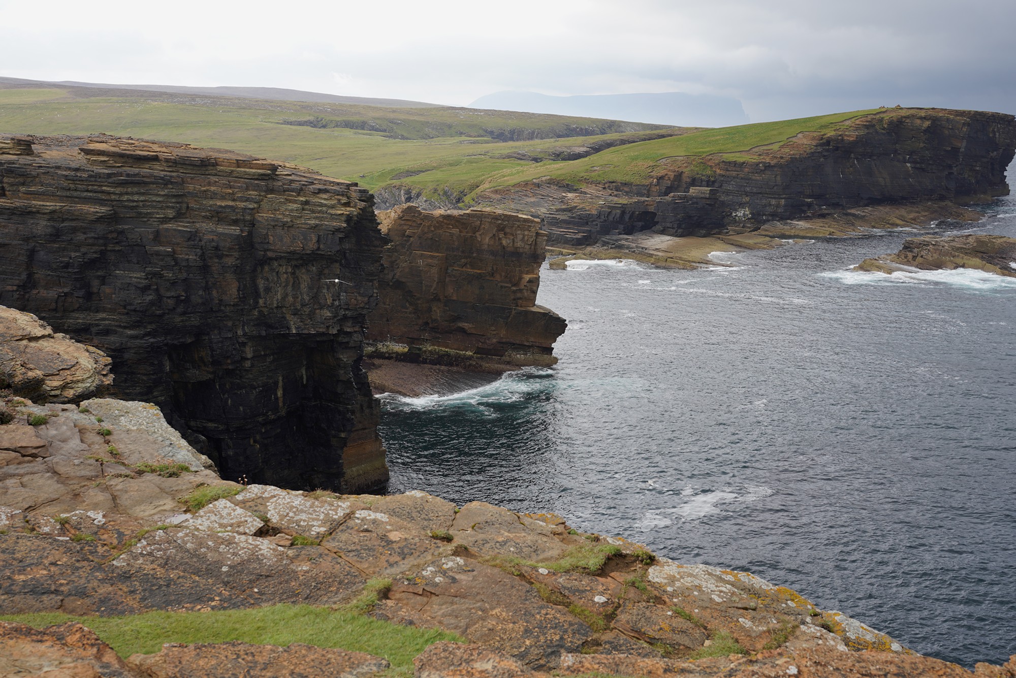
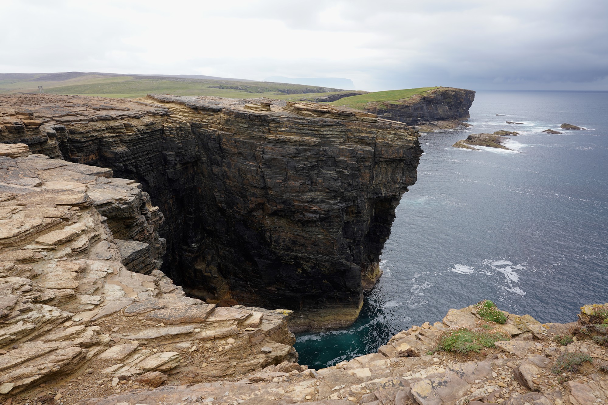
The other side
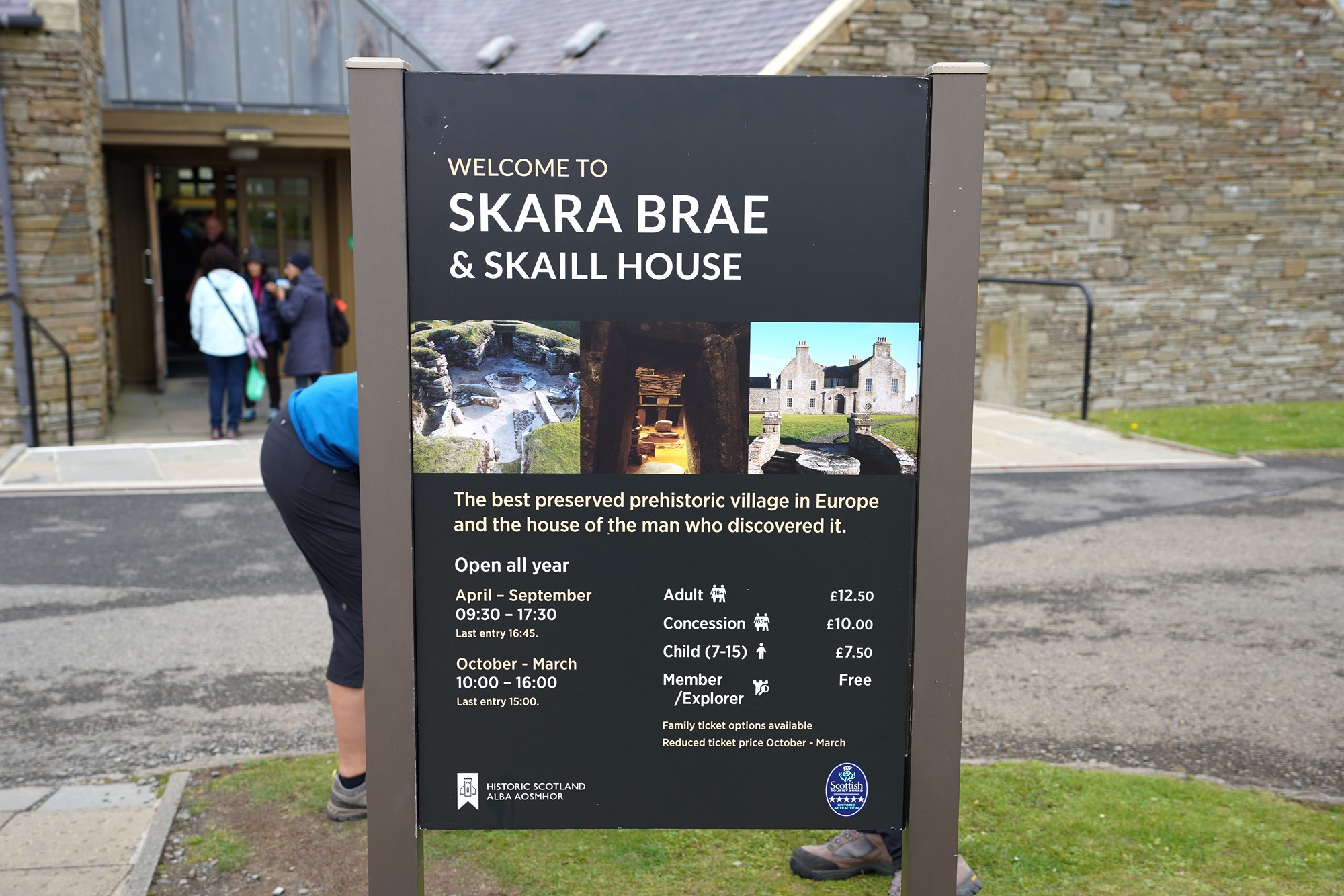
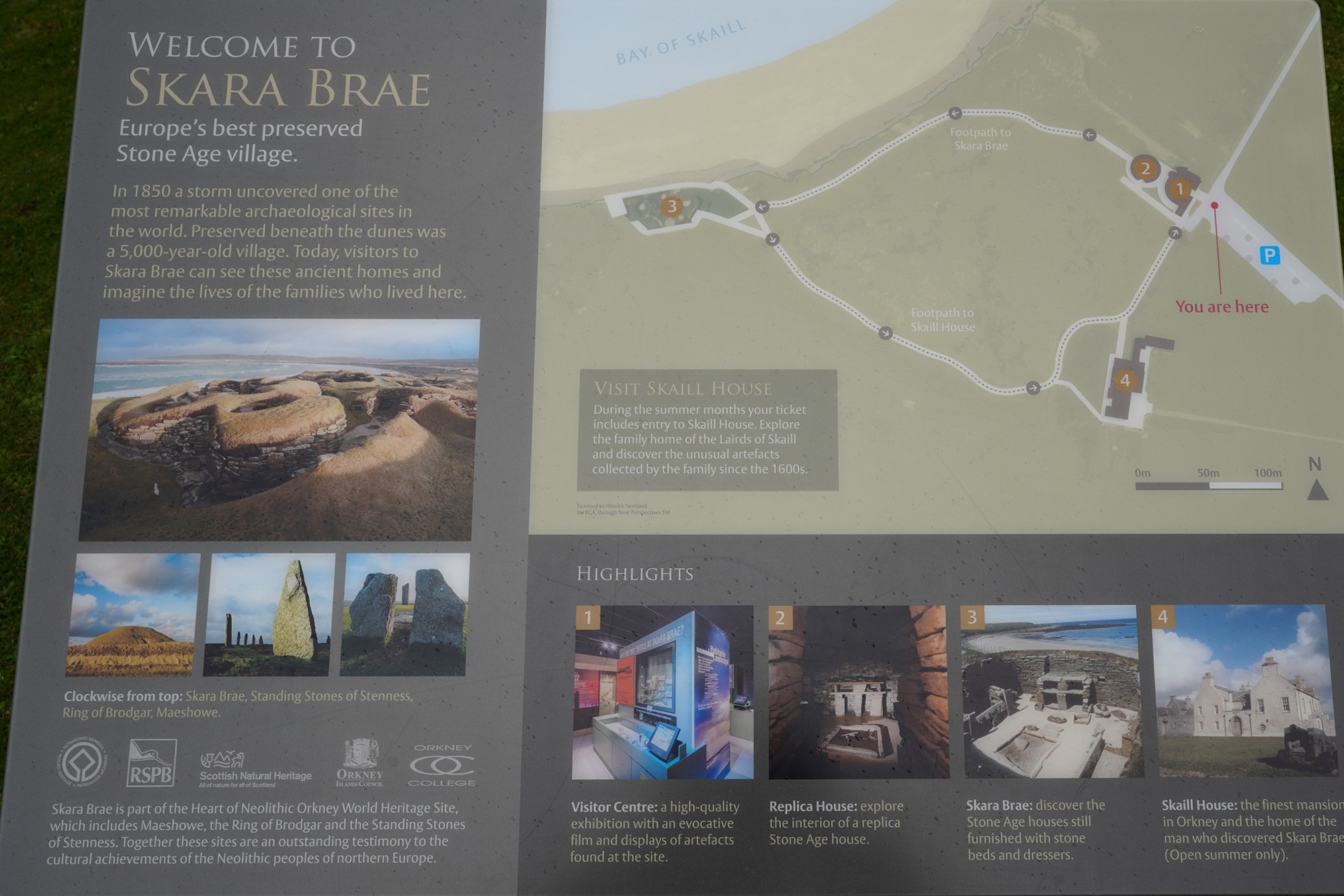
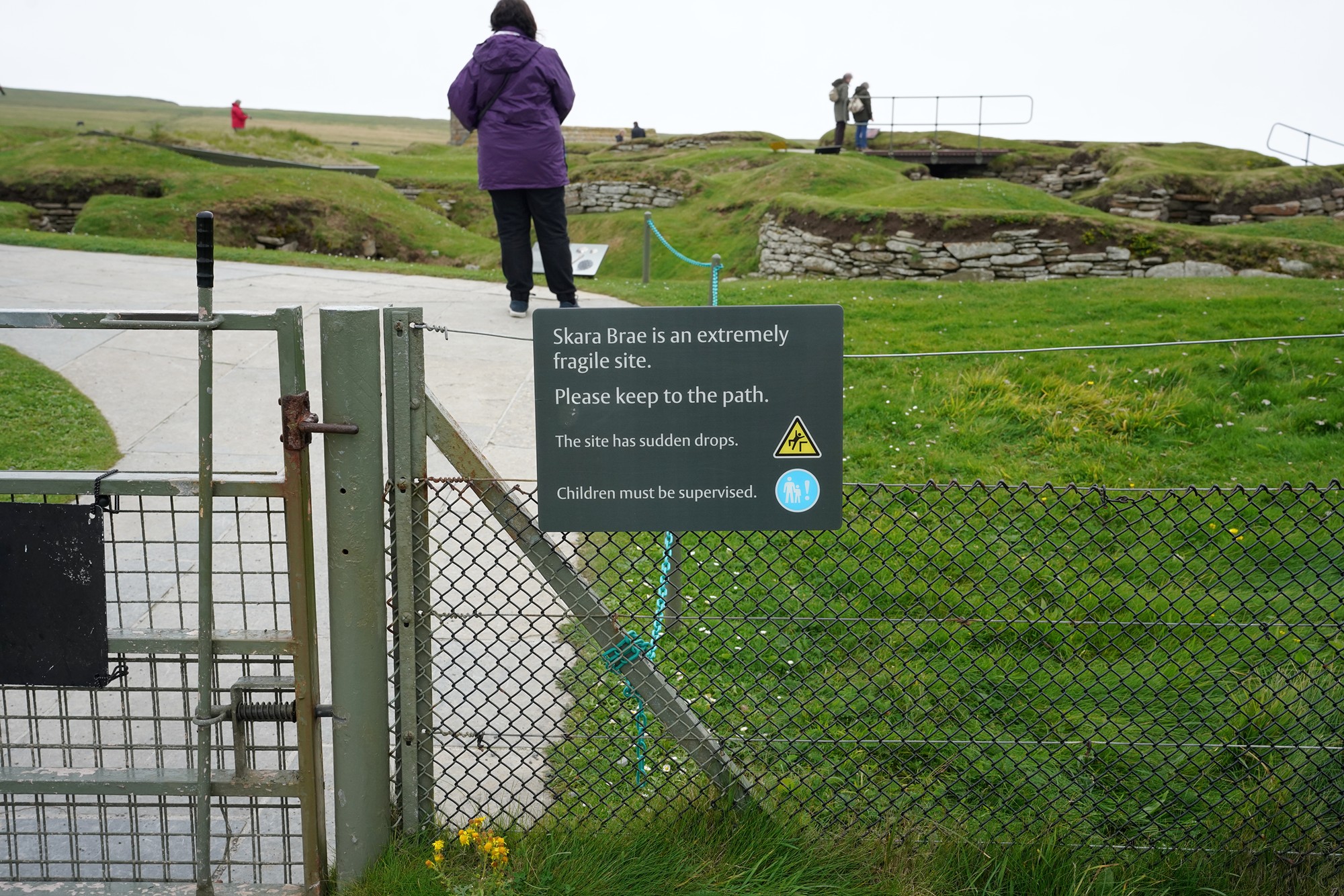
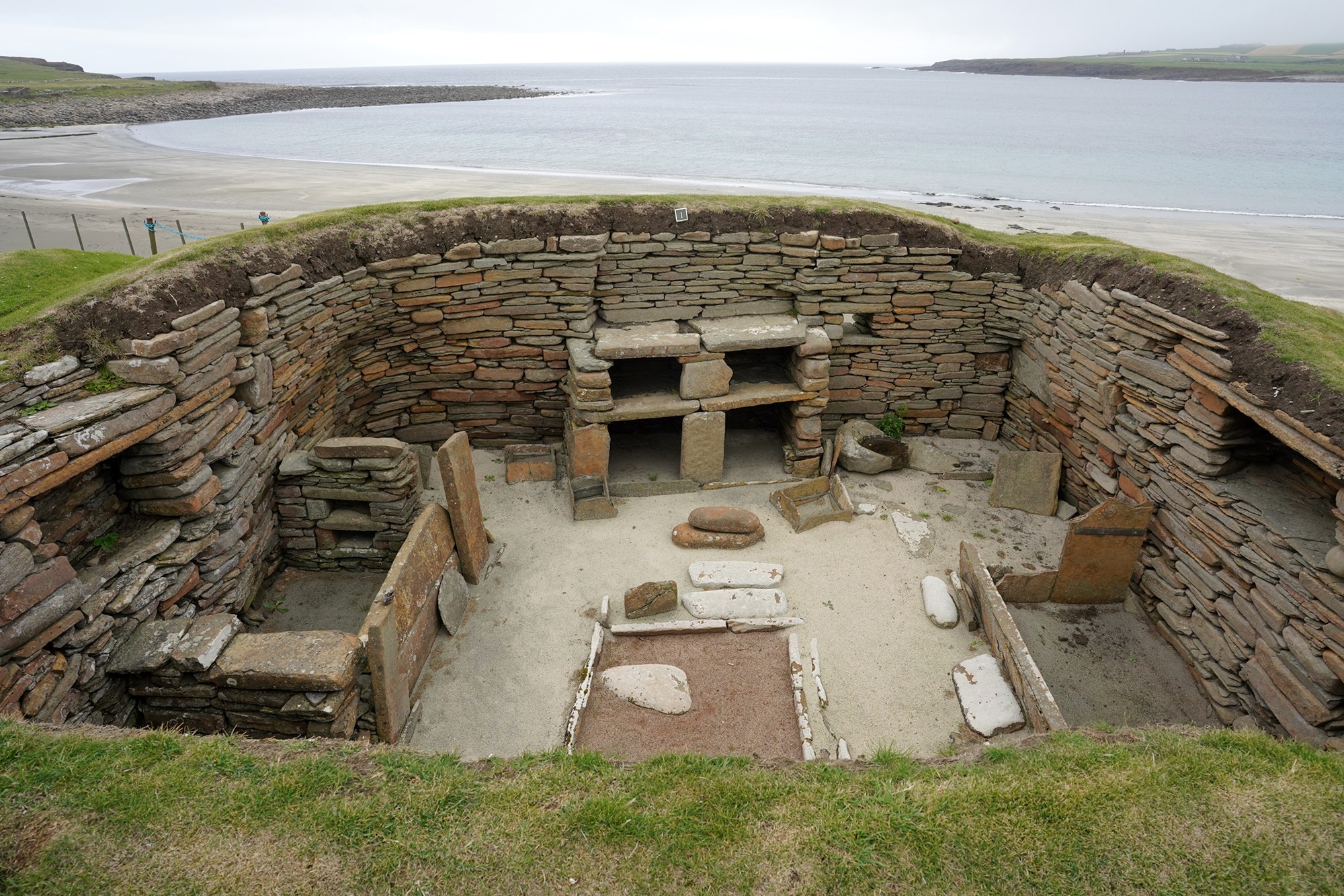
The next stop was Skara Brae. It is often referred to as “Scotland’s Pompeii” due to its exceptional preservation and the insights it provides into ancient daily life.
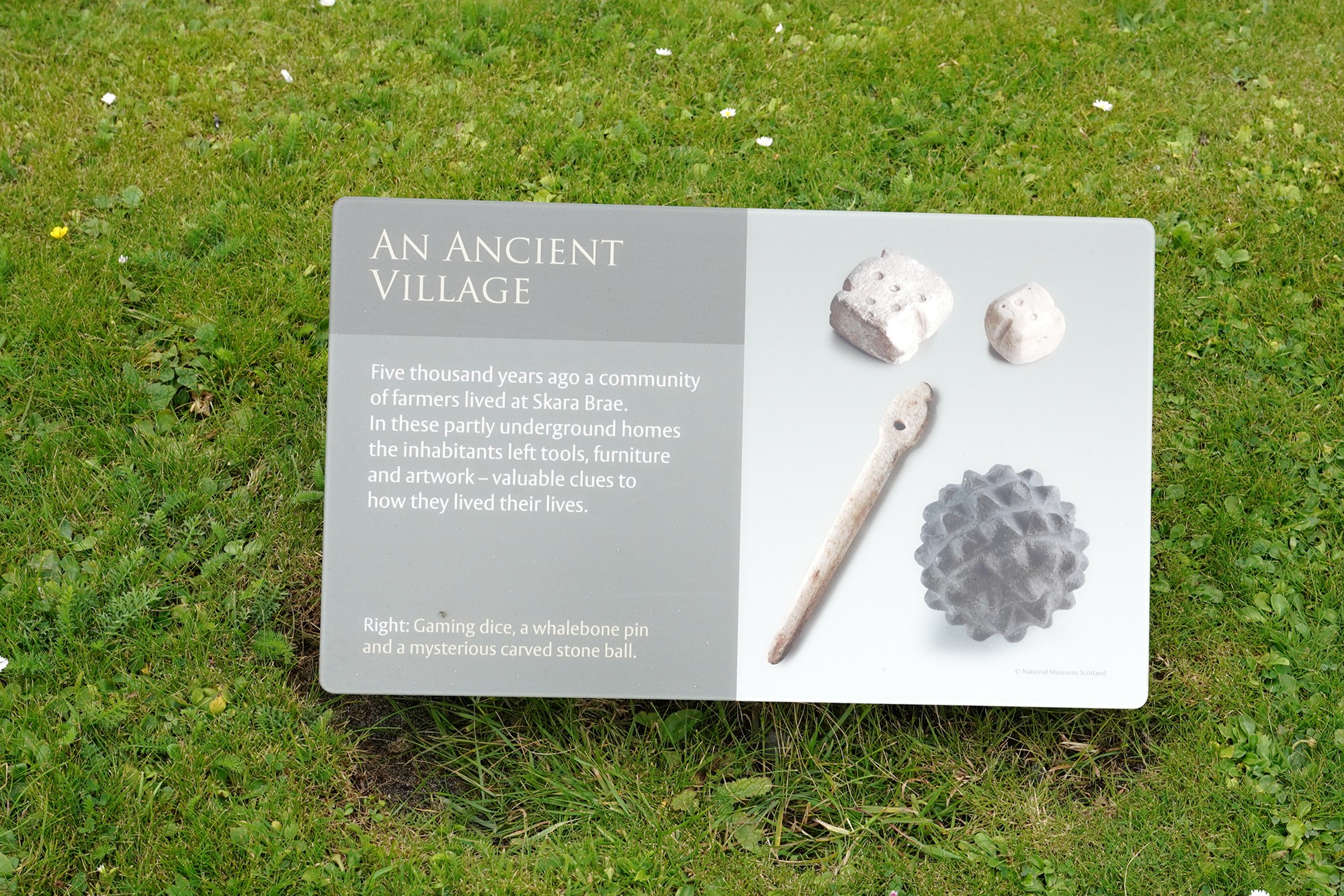
Skara Brae dates back around 5,000 years, making it one of the oldest and best-preserved Neolithic villages in Europe. It was discovered in 1850 after a severe storm exposed the remains.
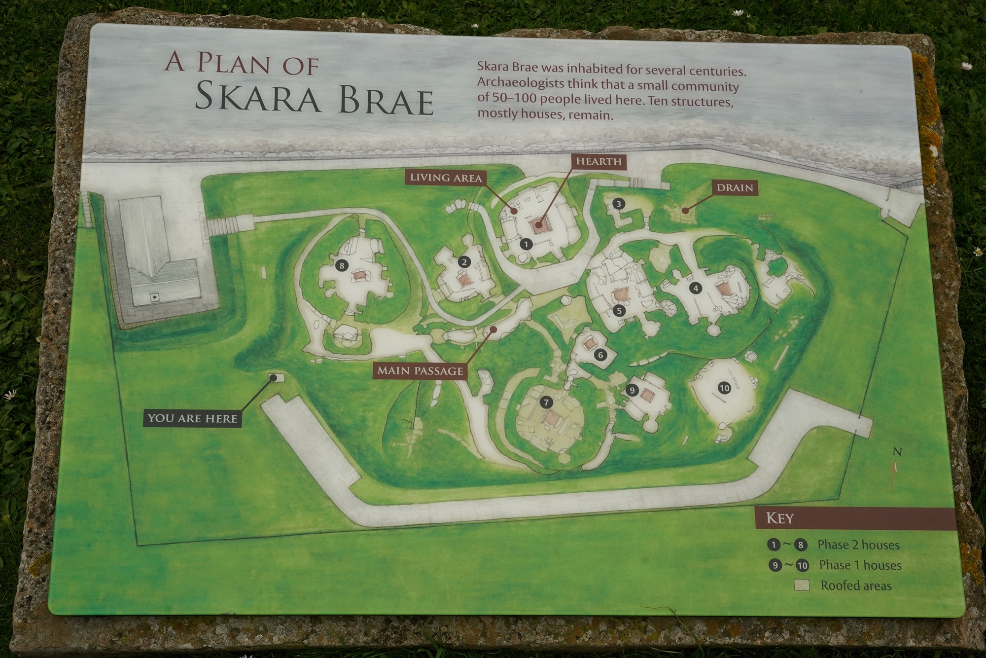
Skara Brae consists of several stone-built houses, connected by covered passageways. The houses are circular and feature stone-built furniture, including beds and storage alcoves. The village is organized around a central courtyard.
While the exact purpose of Skara Brae remains a subject of scholarly debate, it is generally believed to have been a residential settlement. Its design suggests a communal and cooperative way of life, with shared resources and interconnected living spaces.
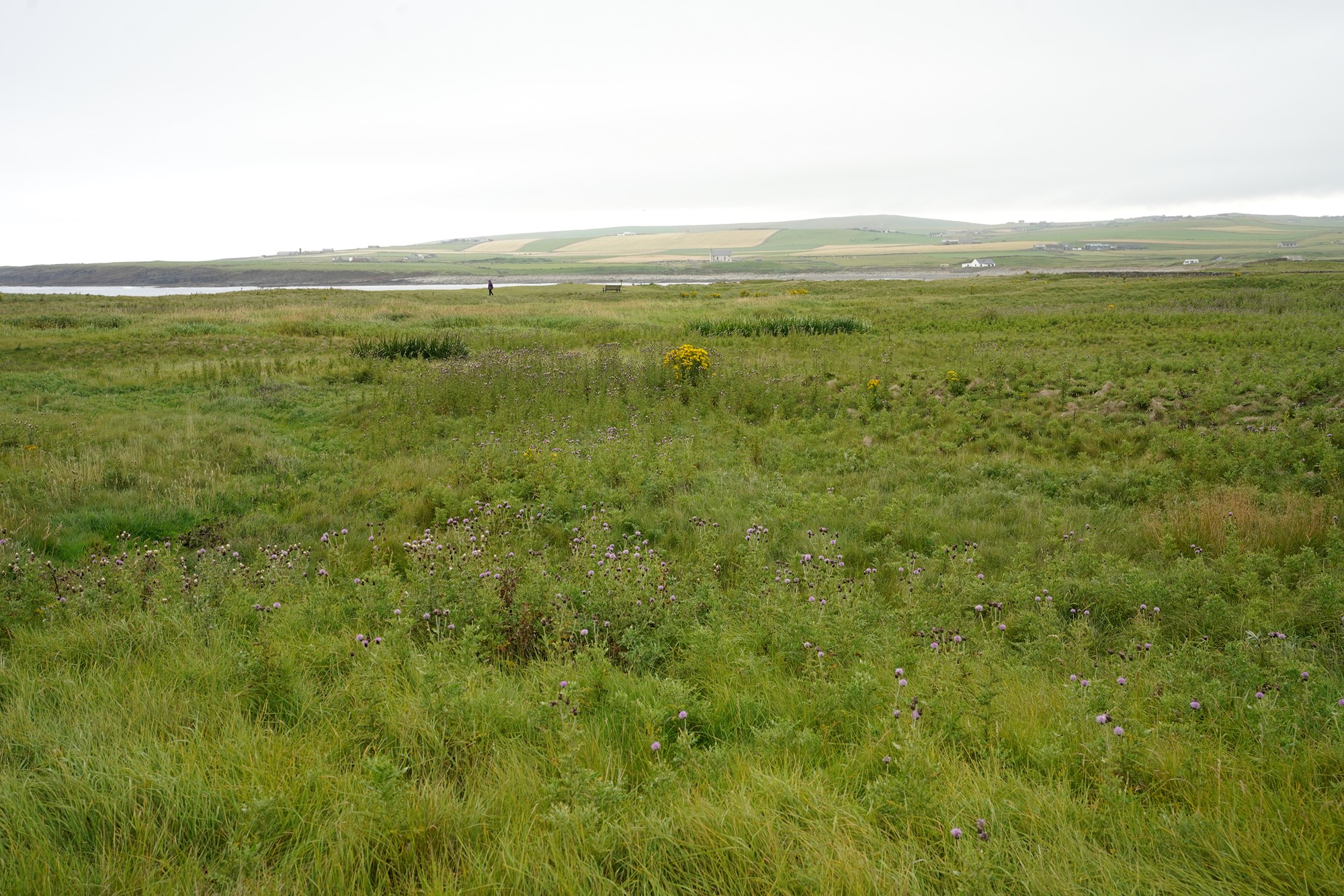
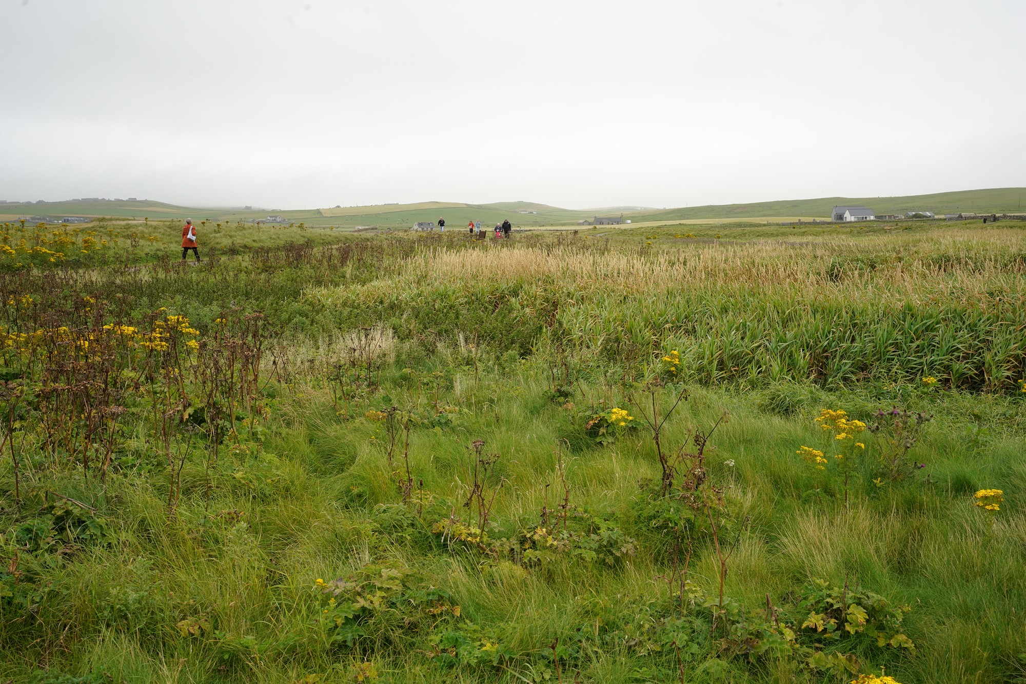
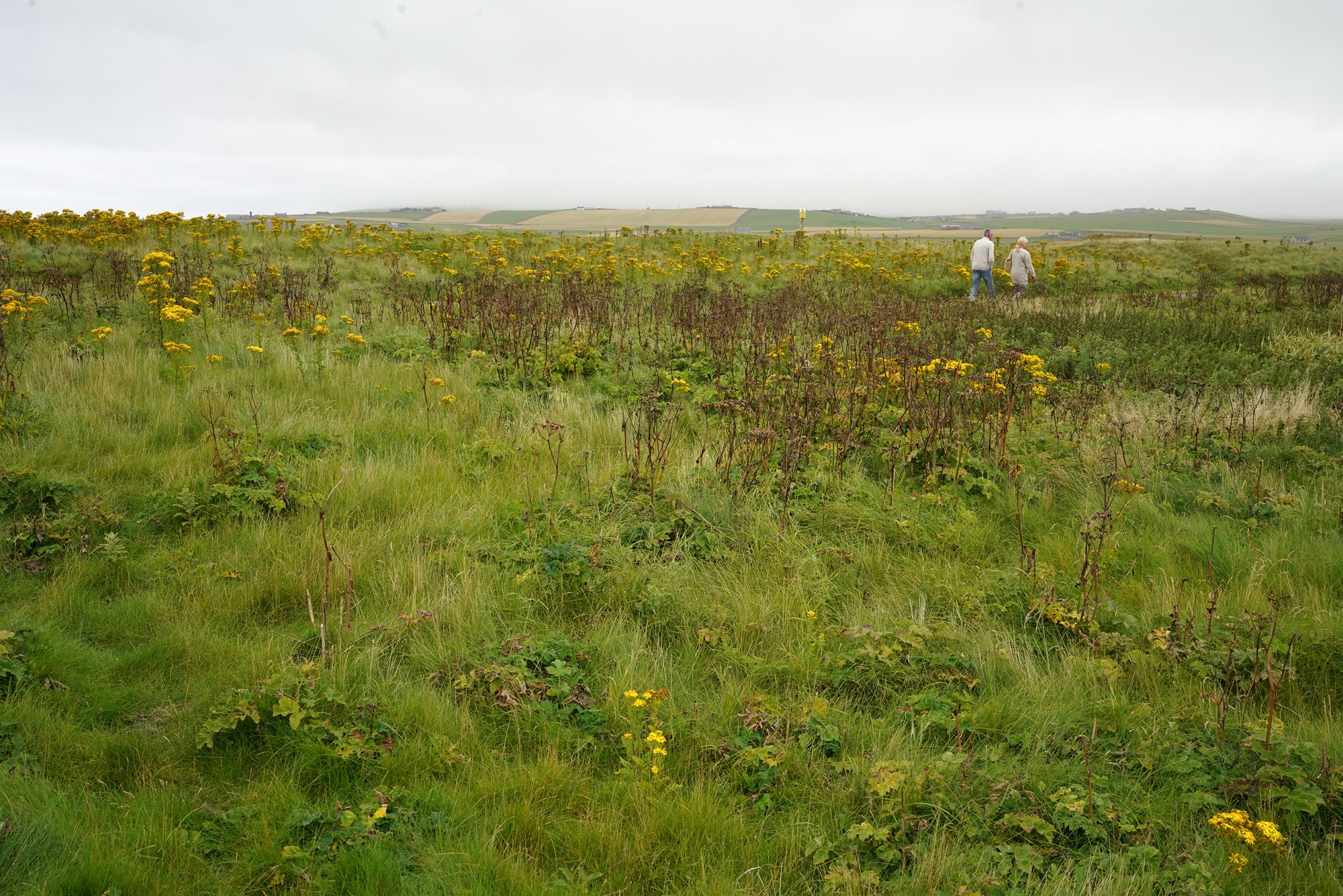
A field on the passge to Skara Brae. Panoramic view
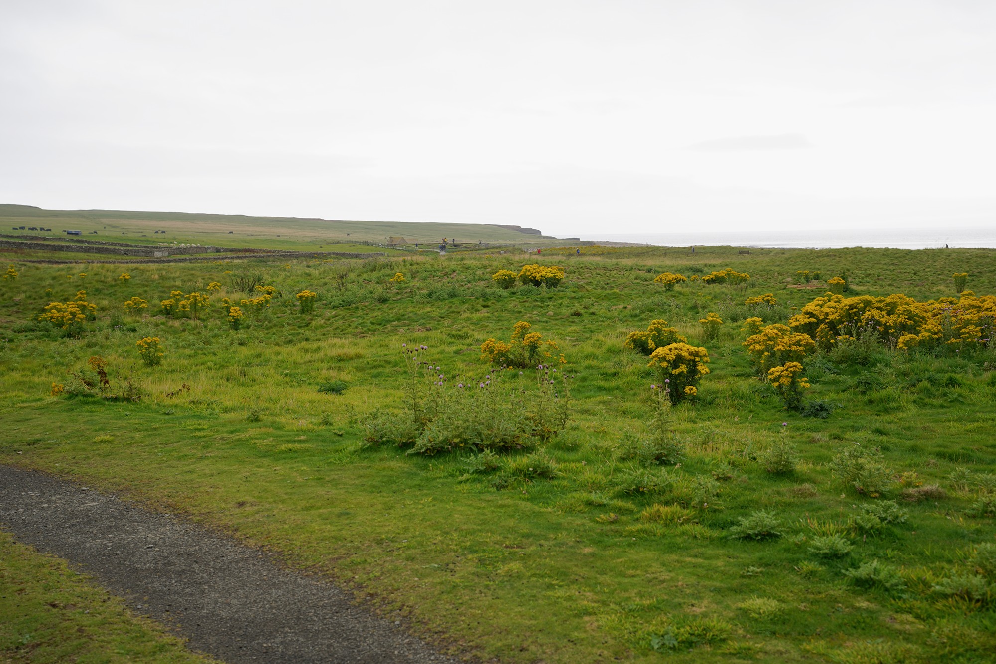
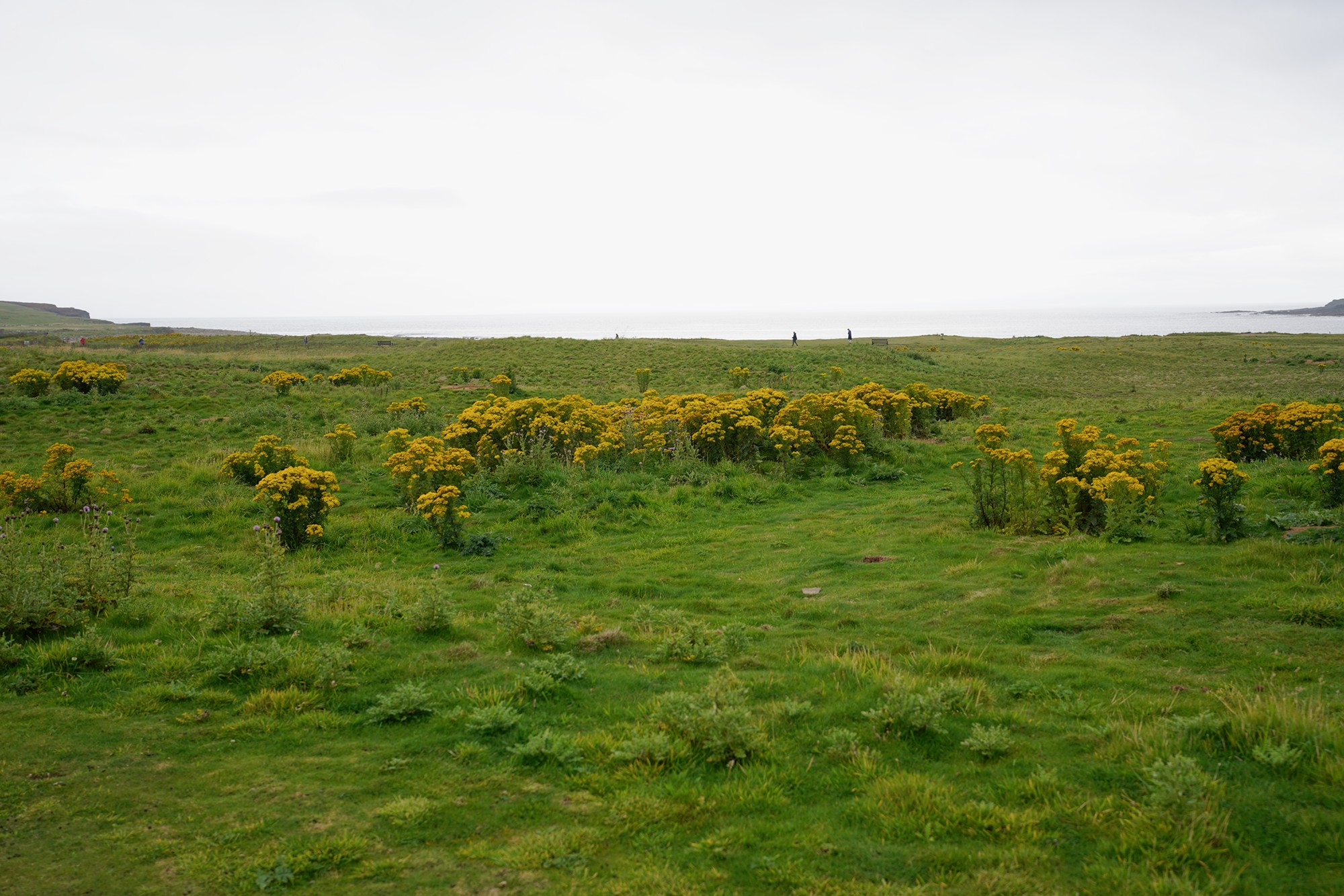
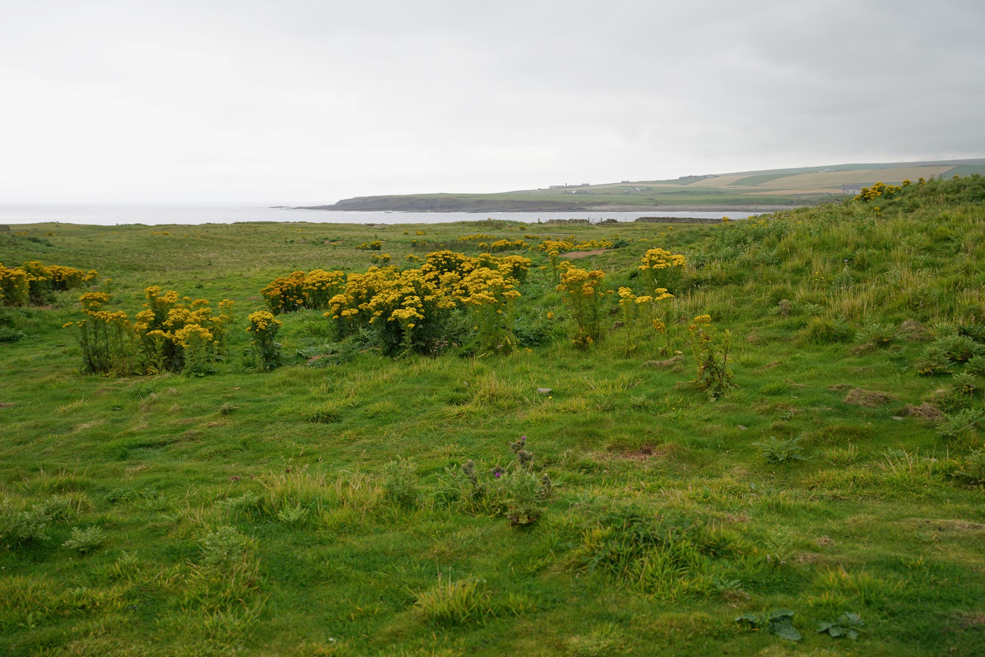
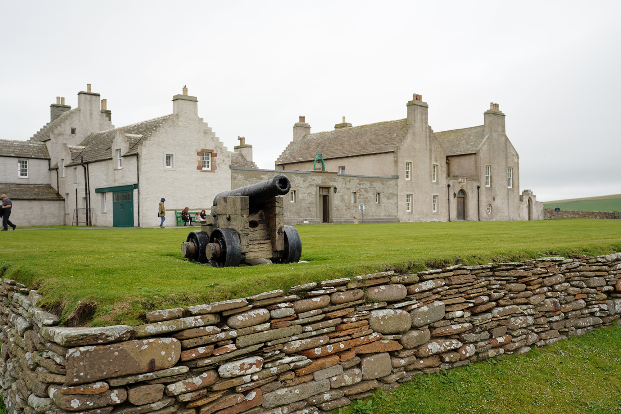
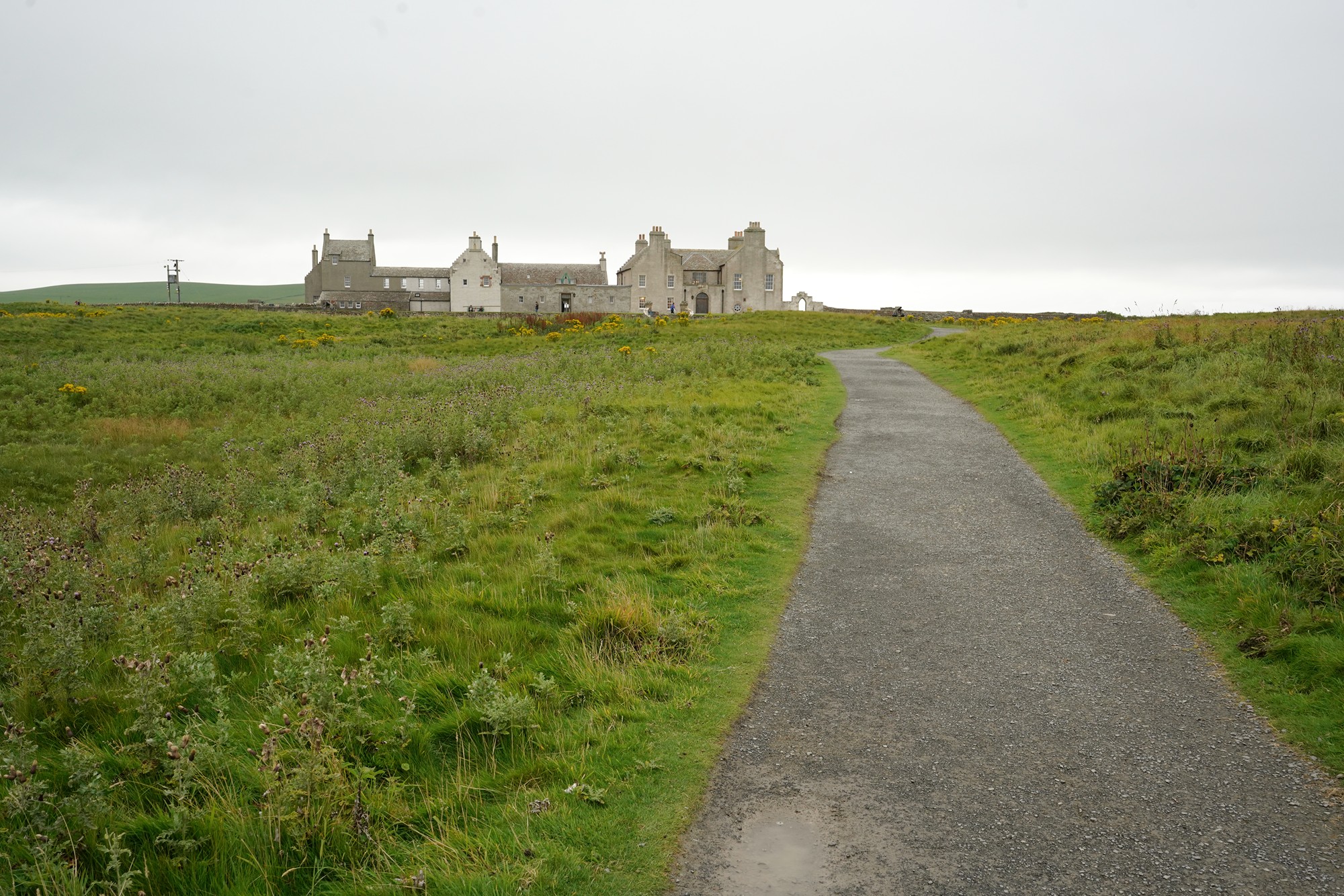
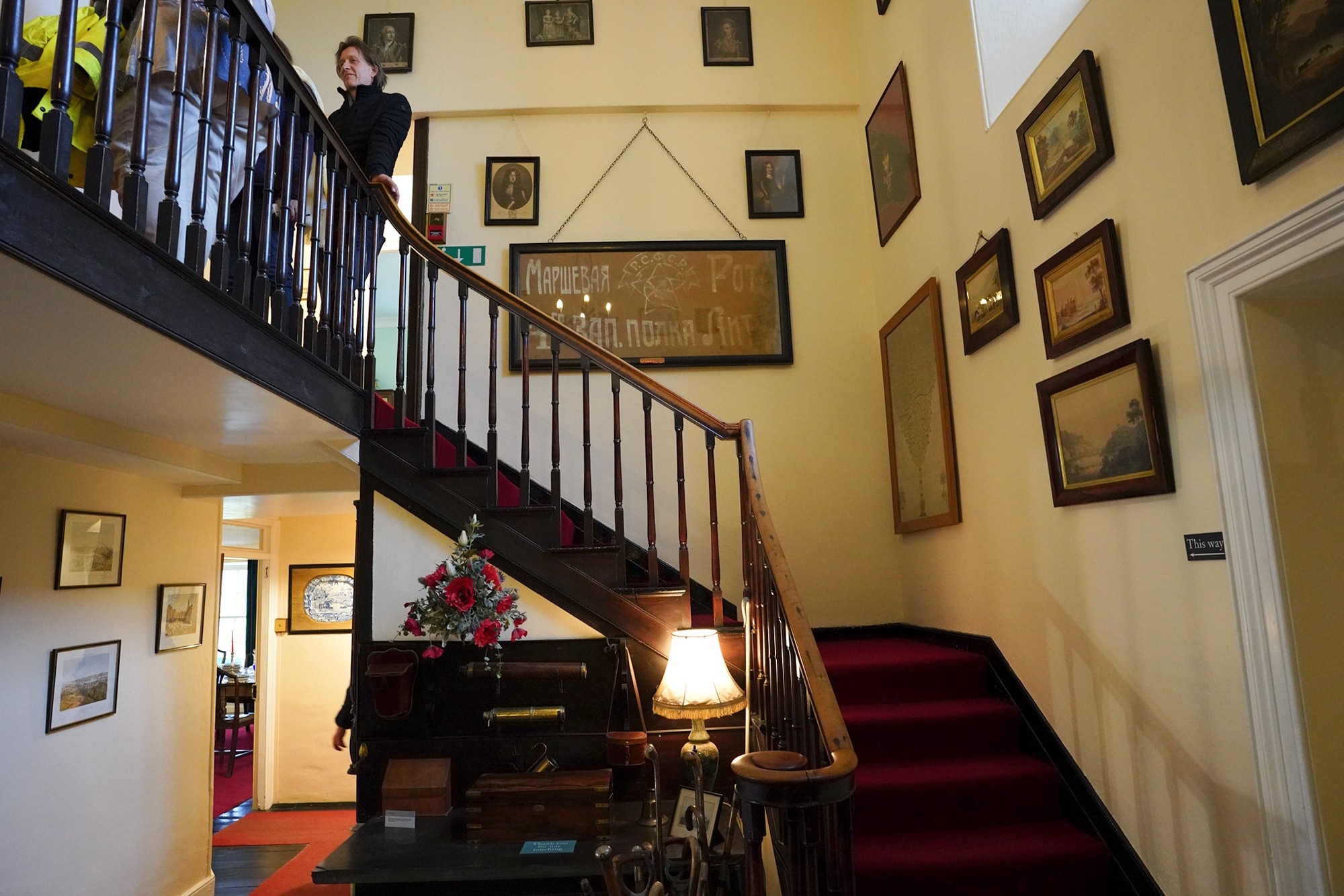
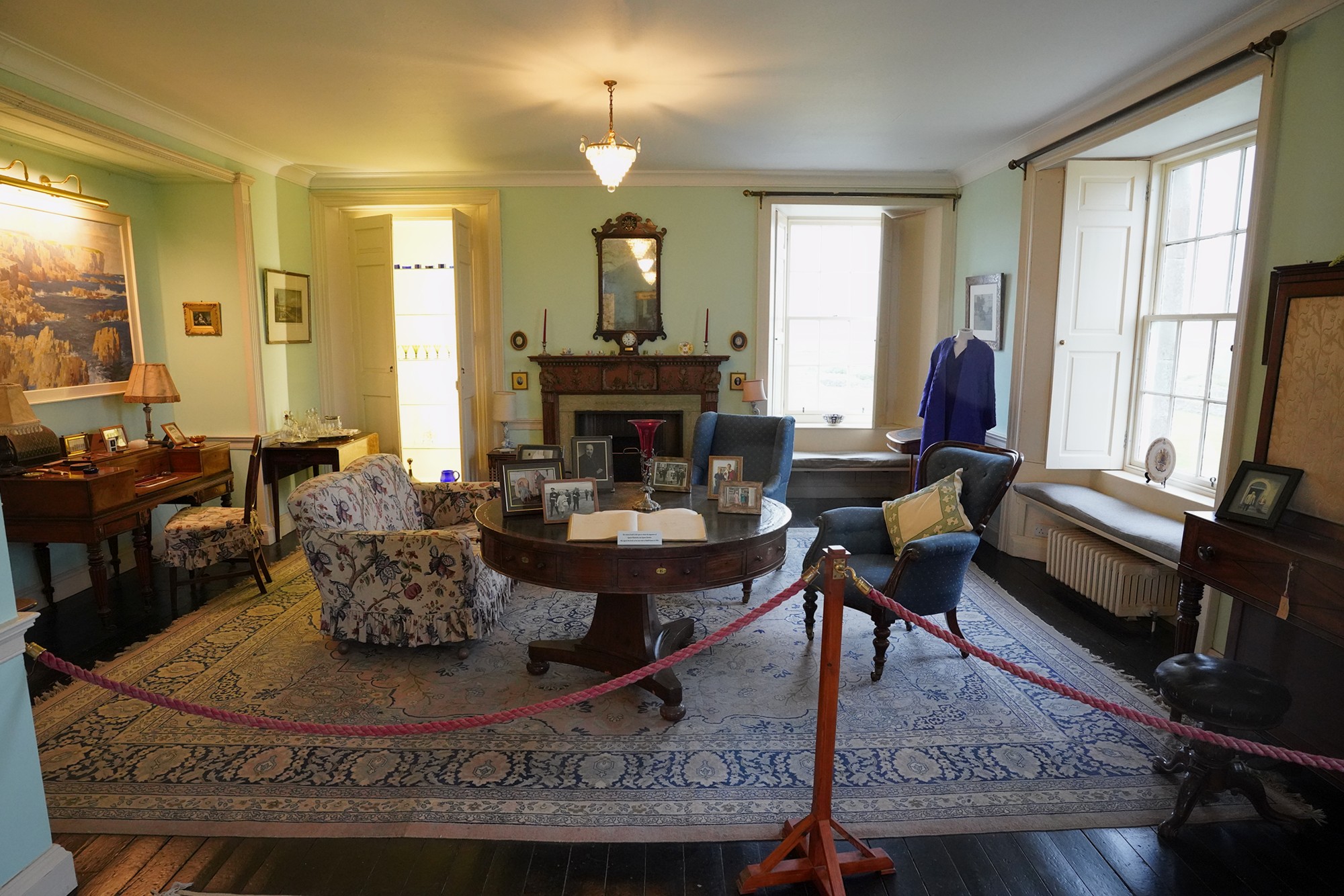
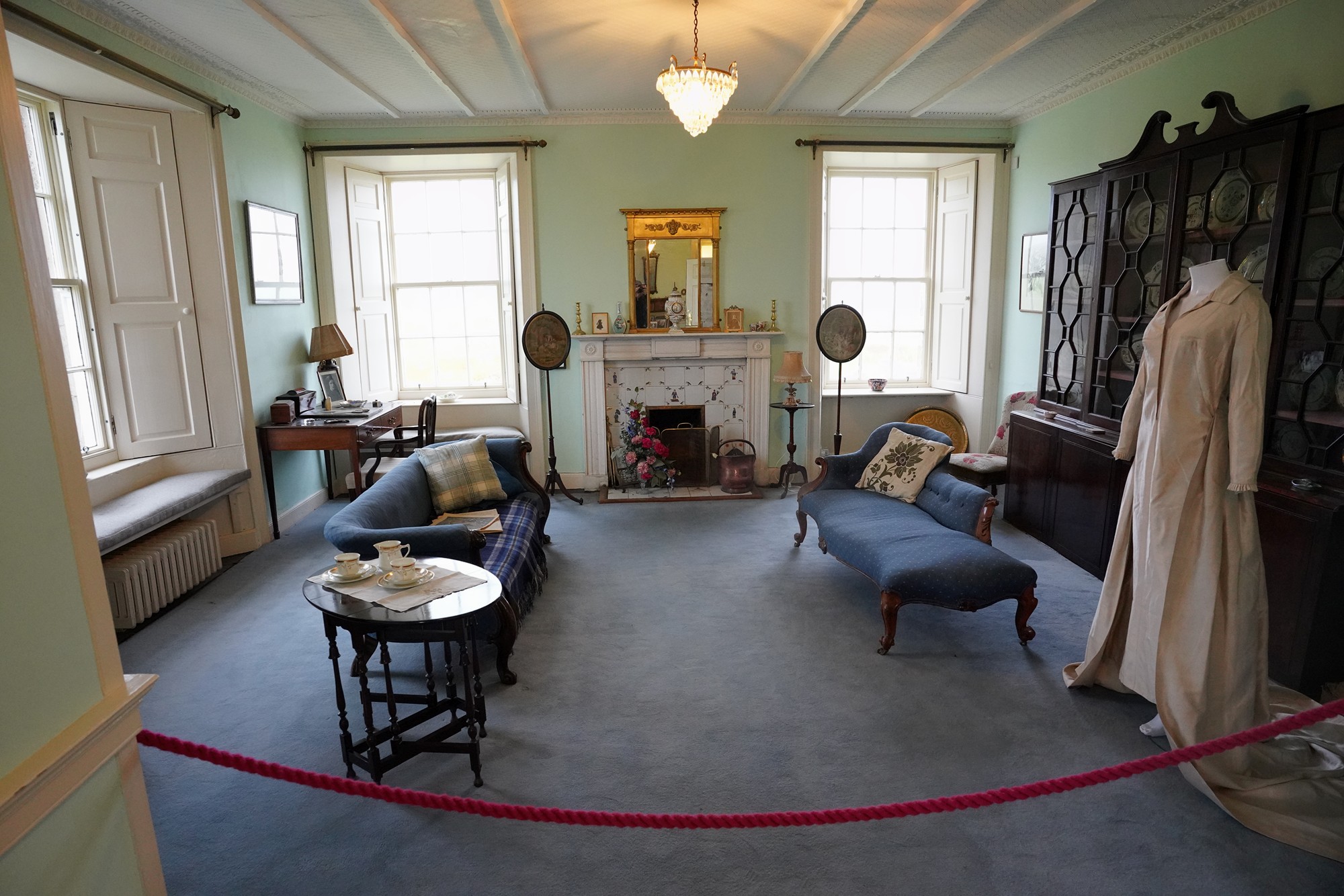
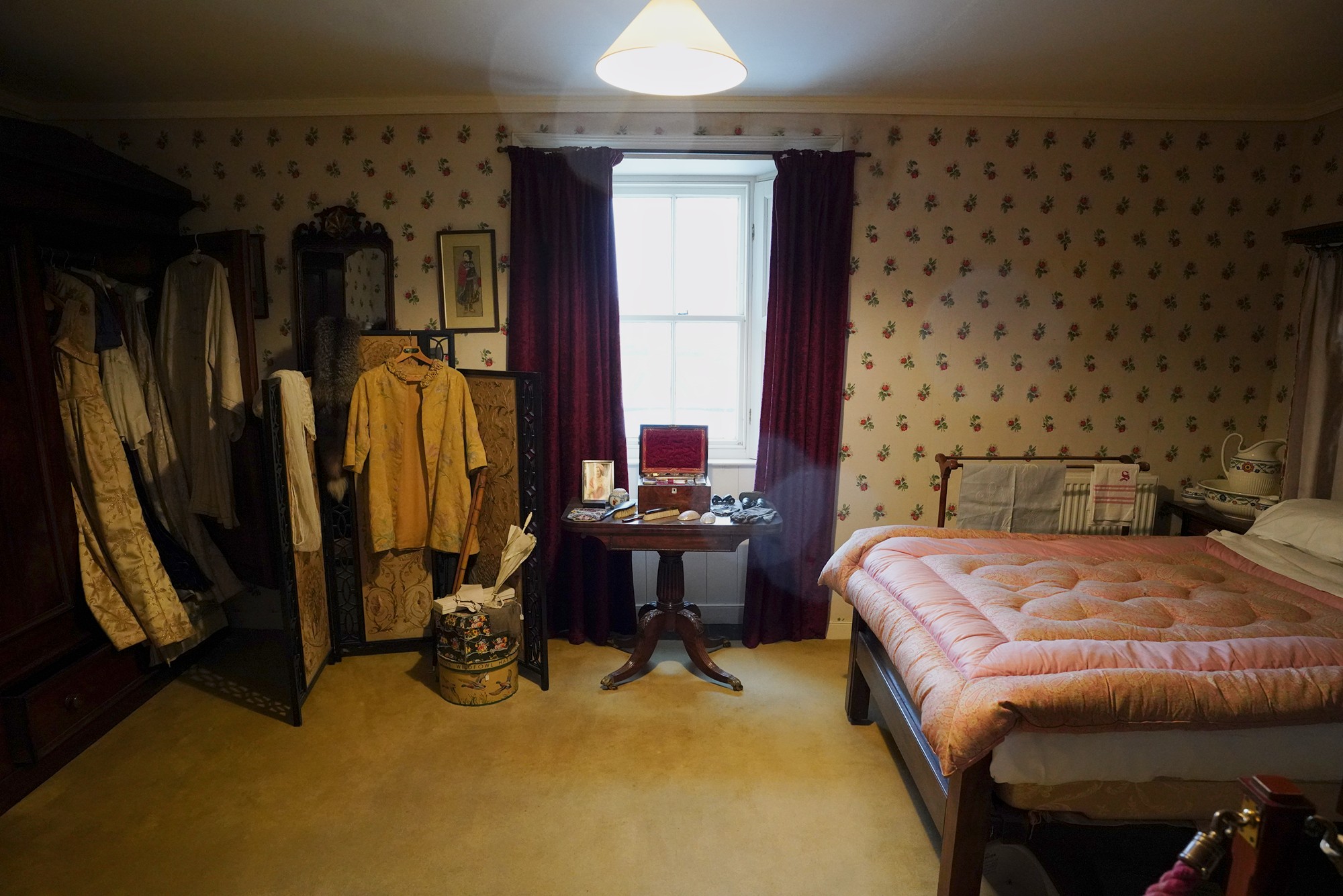
Skaill House. Skaill House is closely associated with the discovery of Skara Brae. In 1850, a massive storm exposed the Neolithic settlement, leading to its discovery by the then-owner of Skaill House, William Watt. The museum houses exhibits related to Skara Brae and the archaeological history of the region.
Looking back
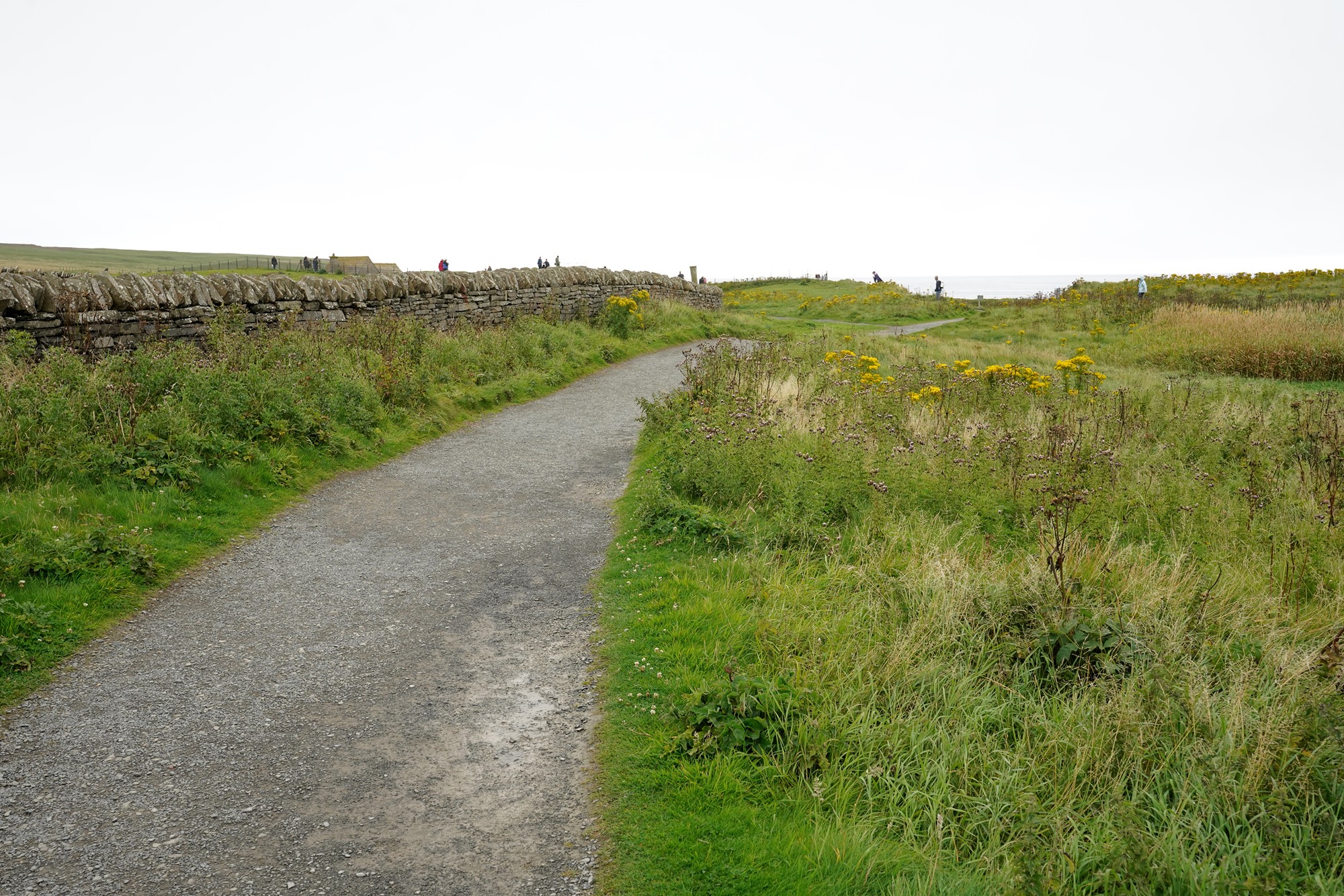
Keep walking toward Skara Brae
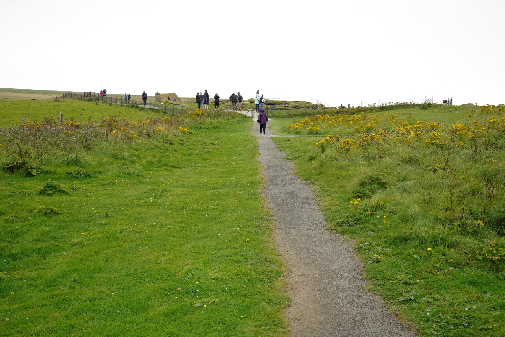
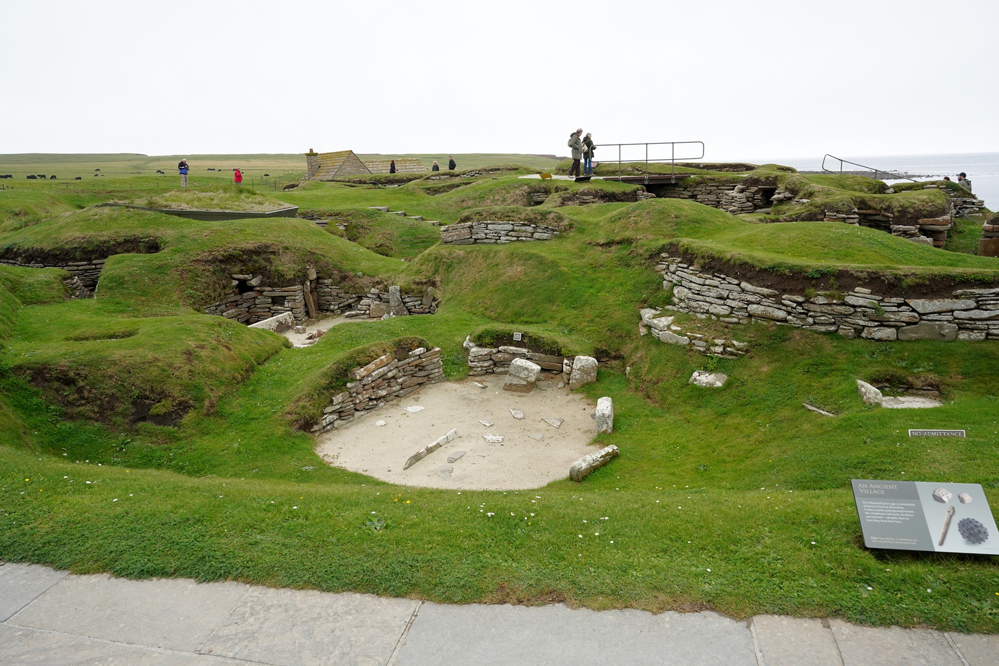
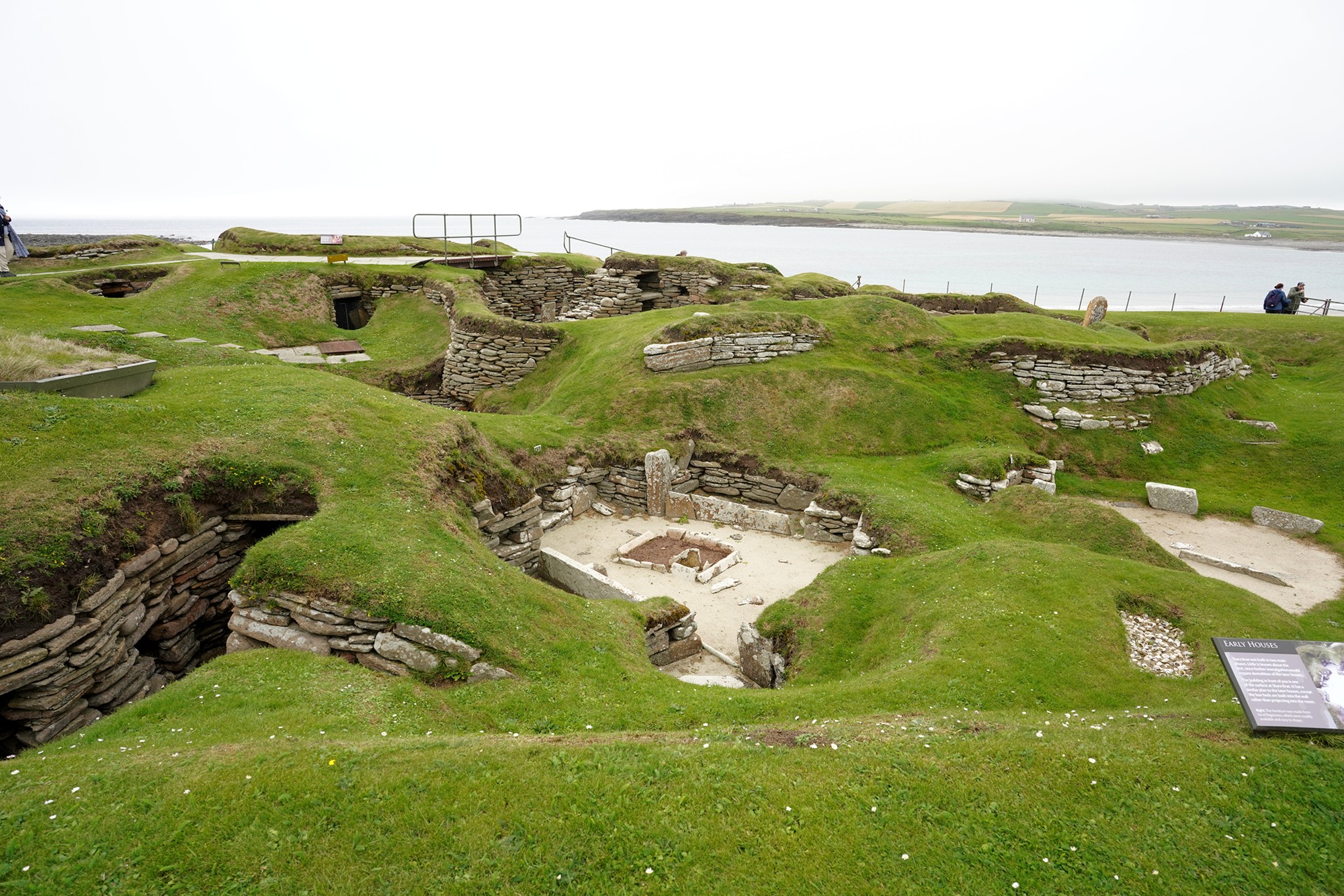
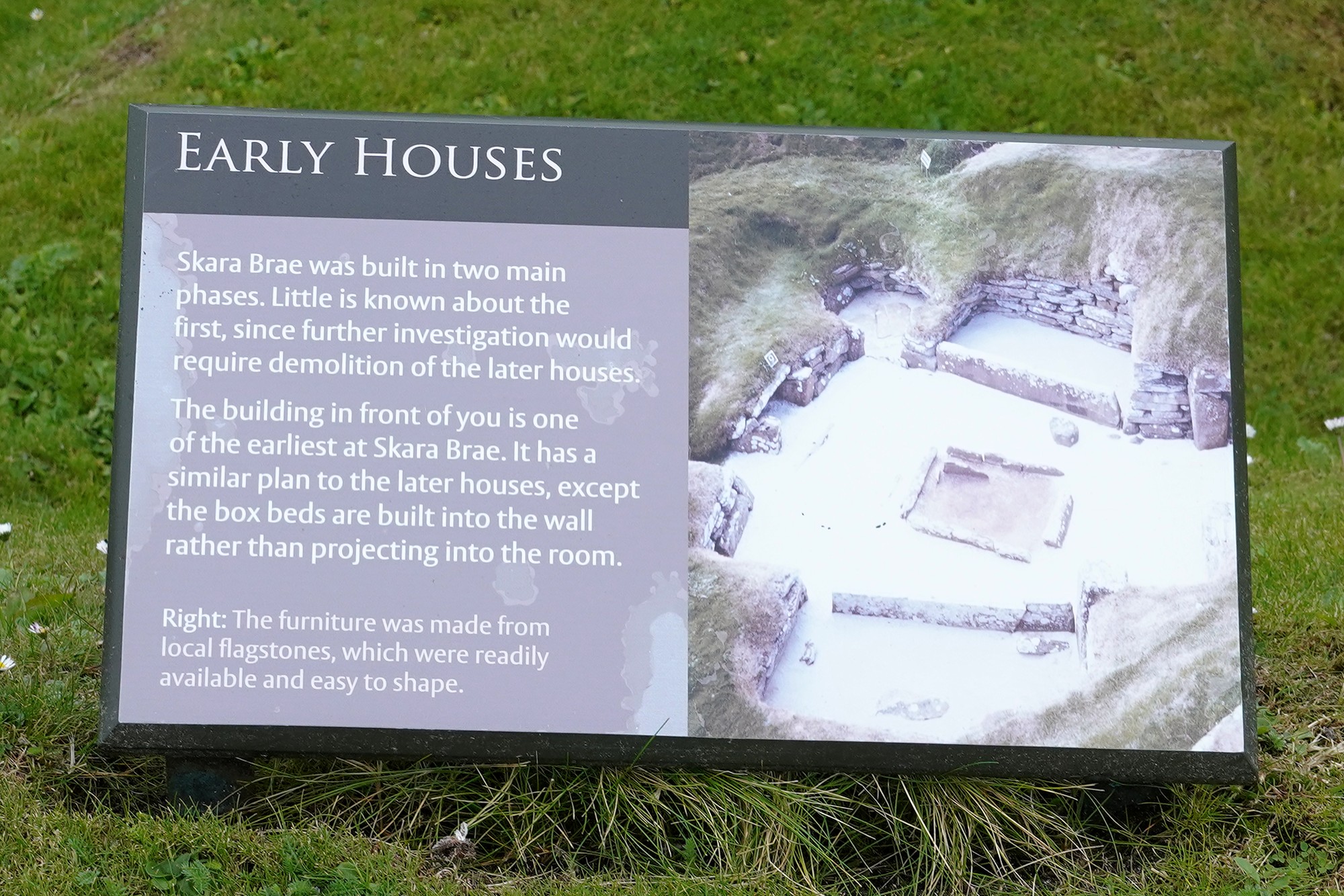

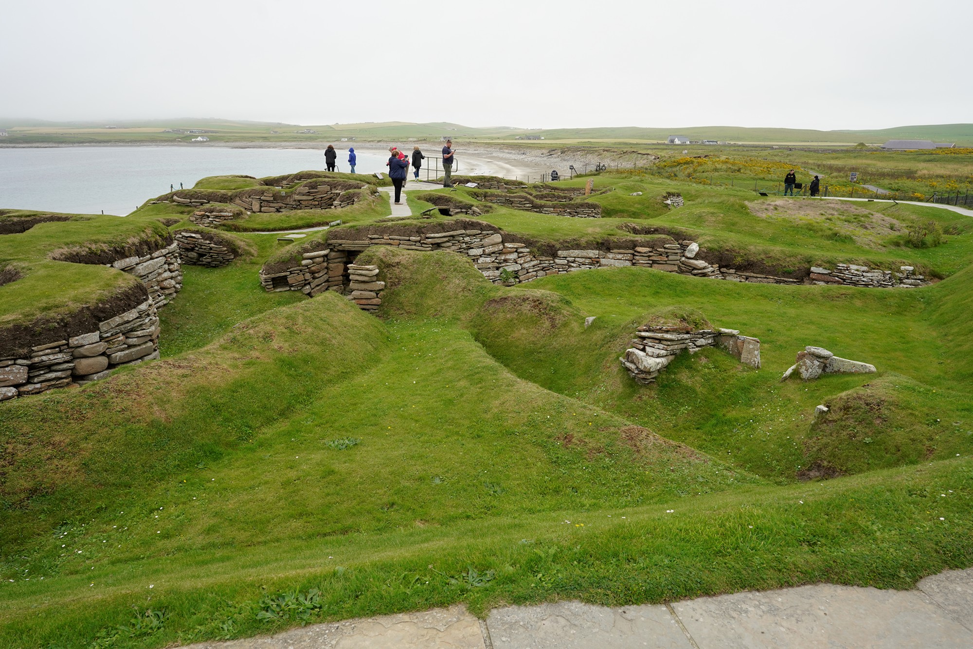

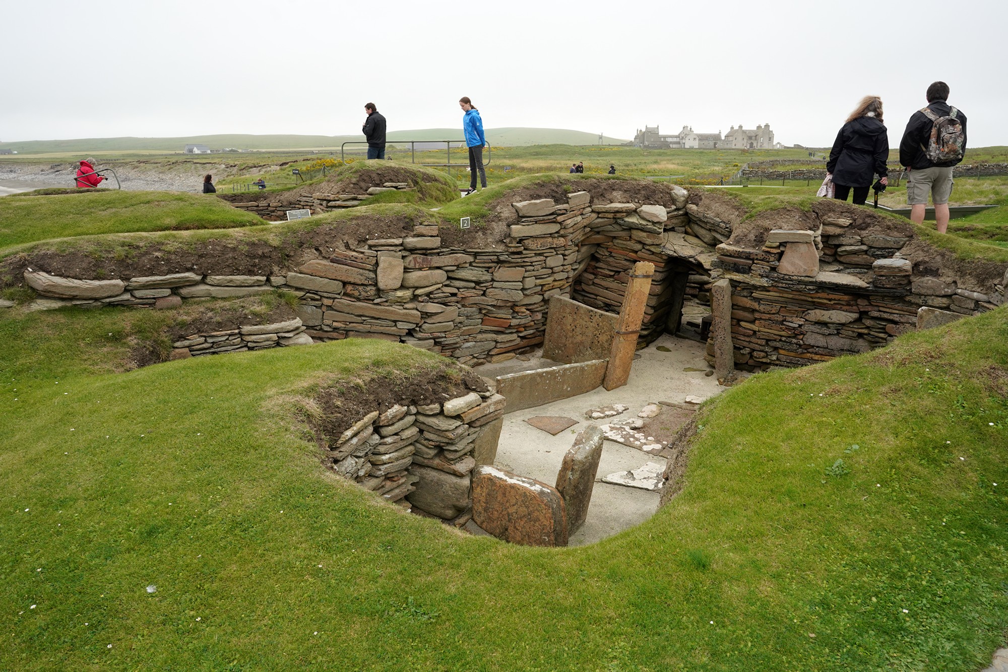
It looks like a modern house from five thousand years ago.
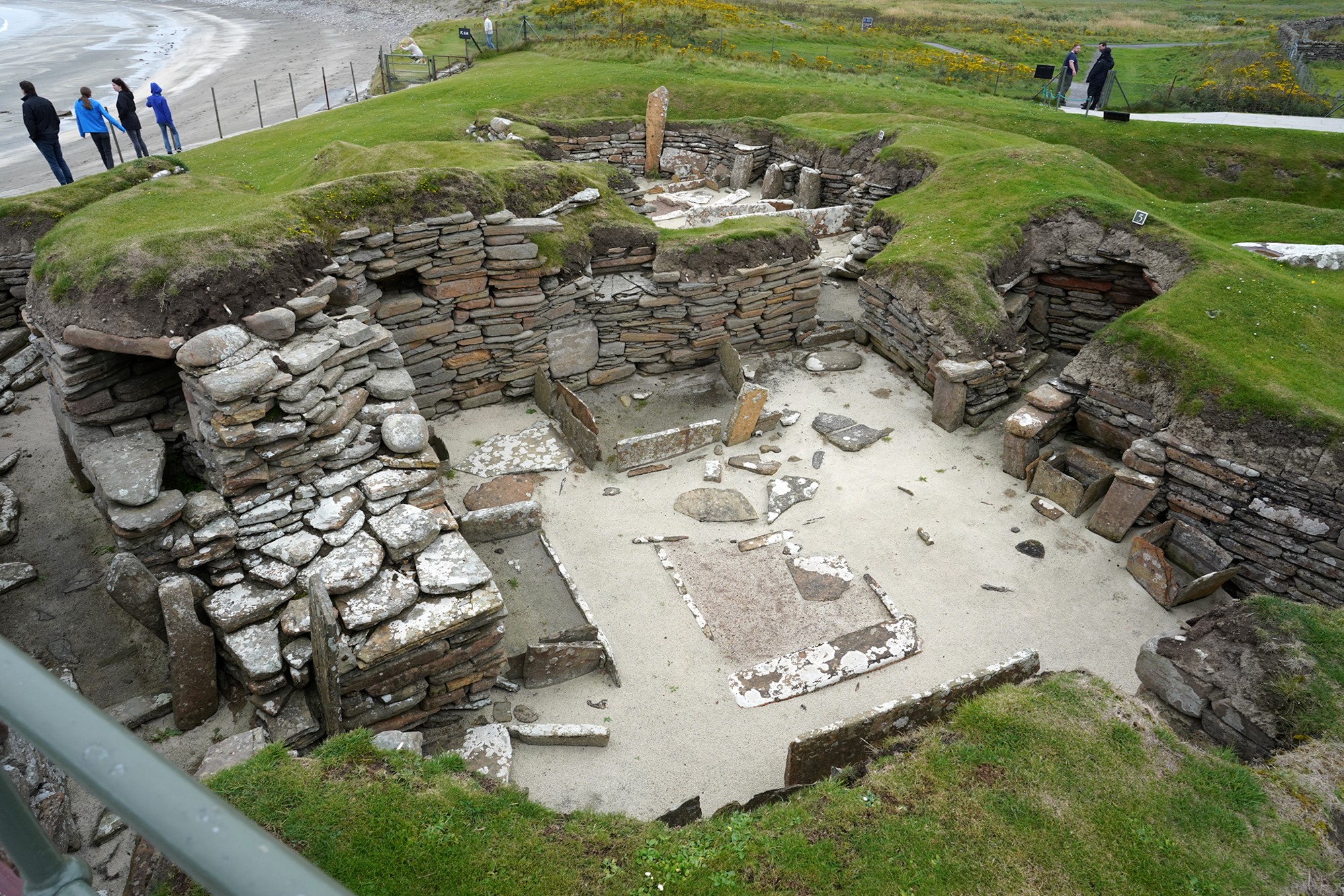
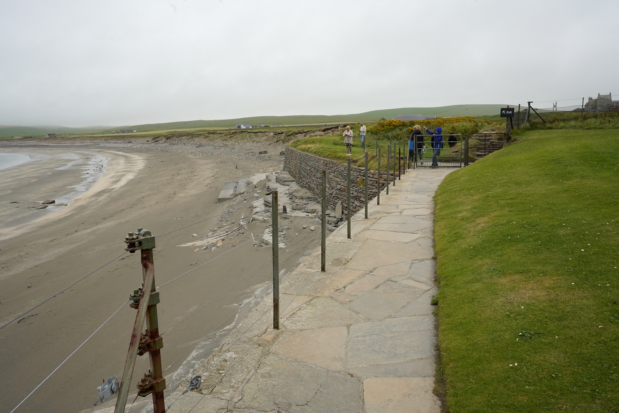
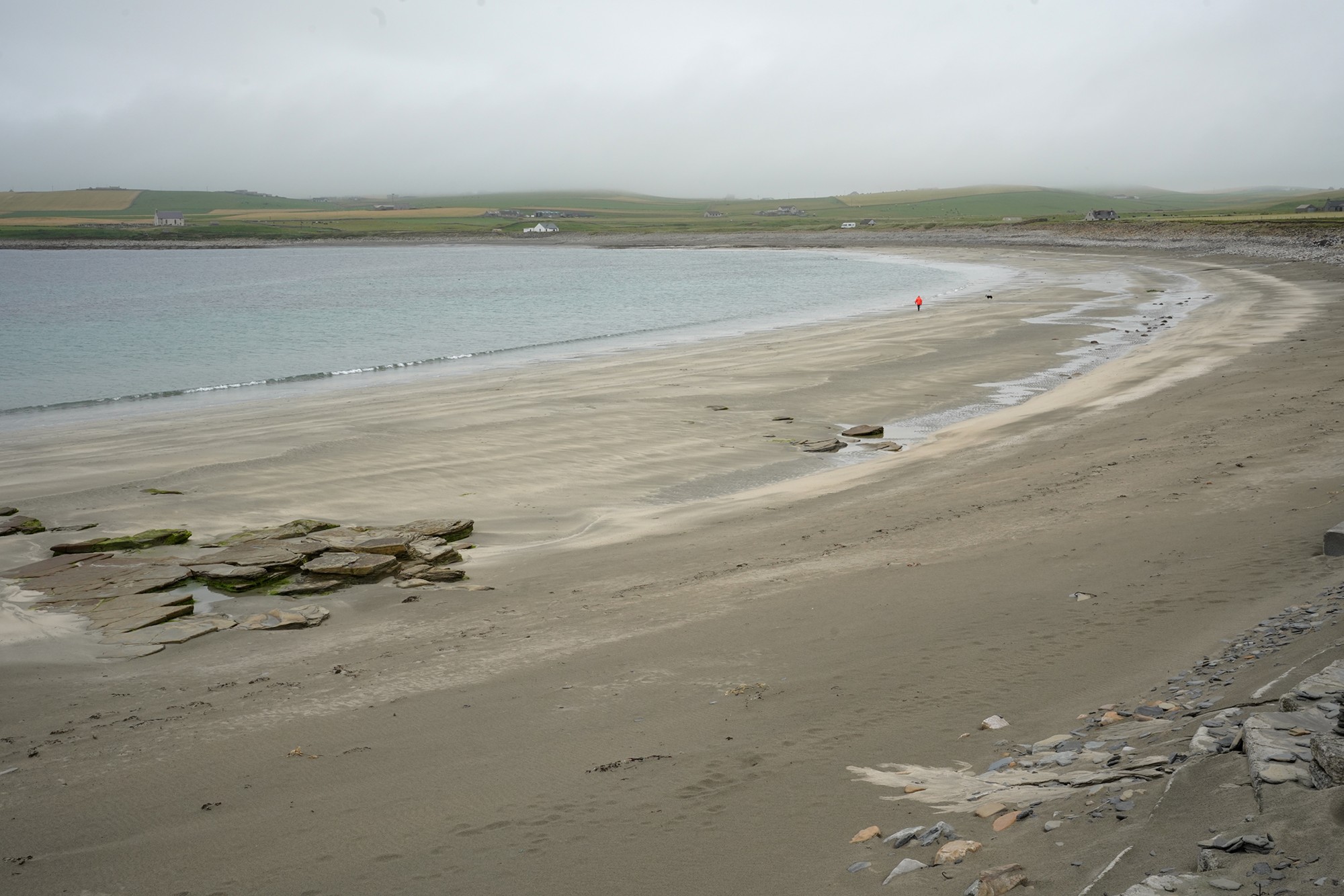
Walking back
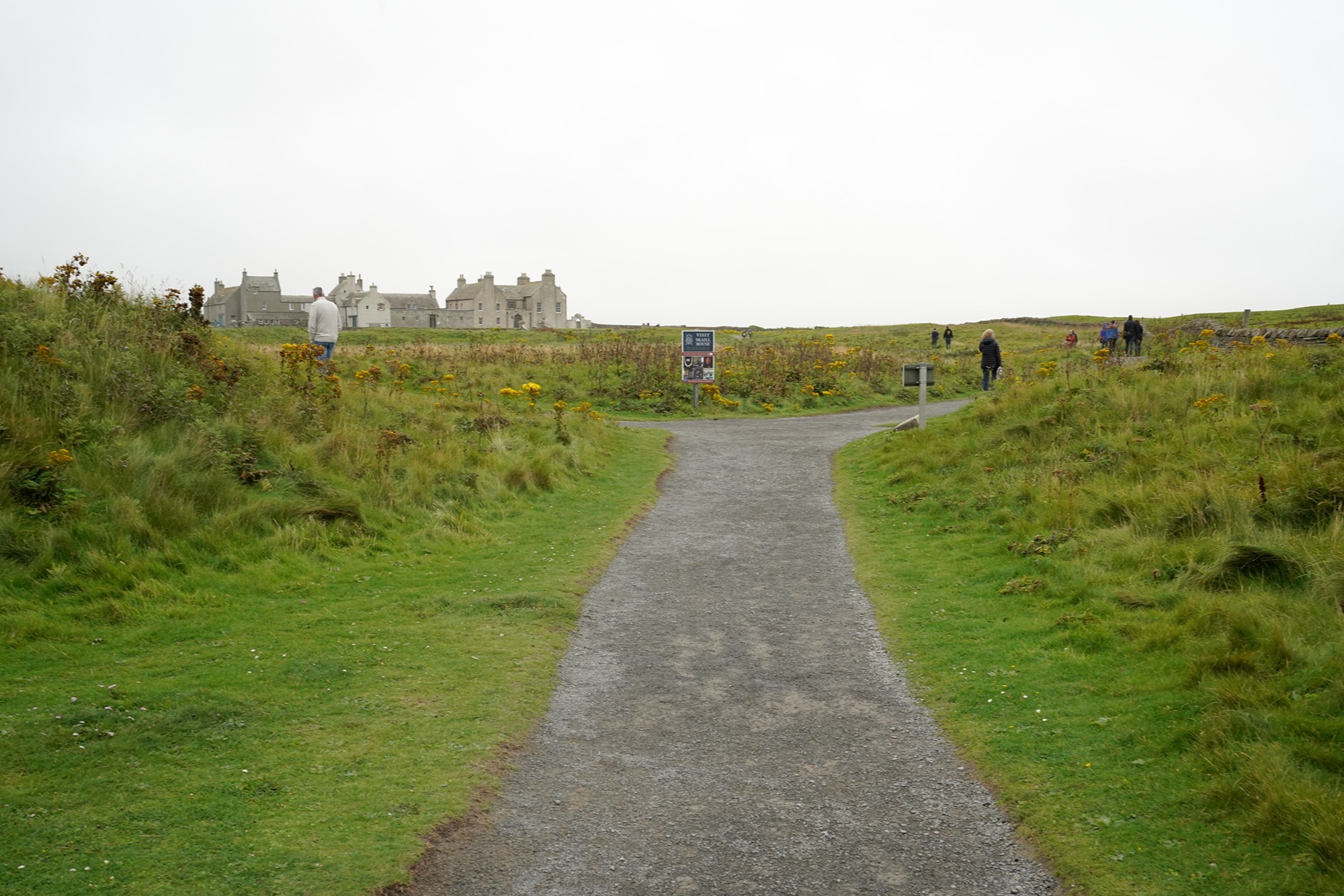
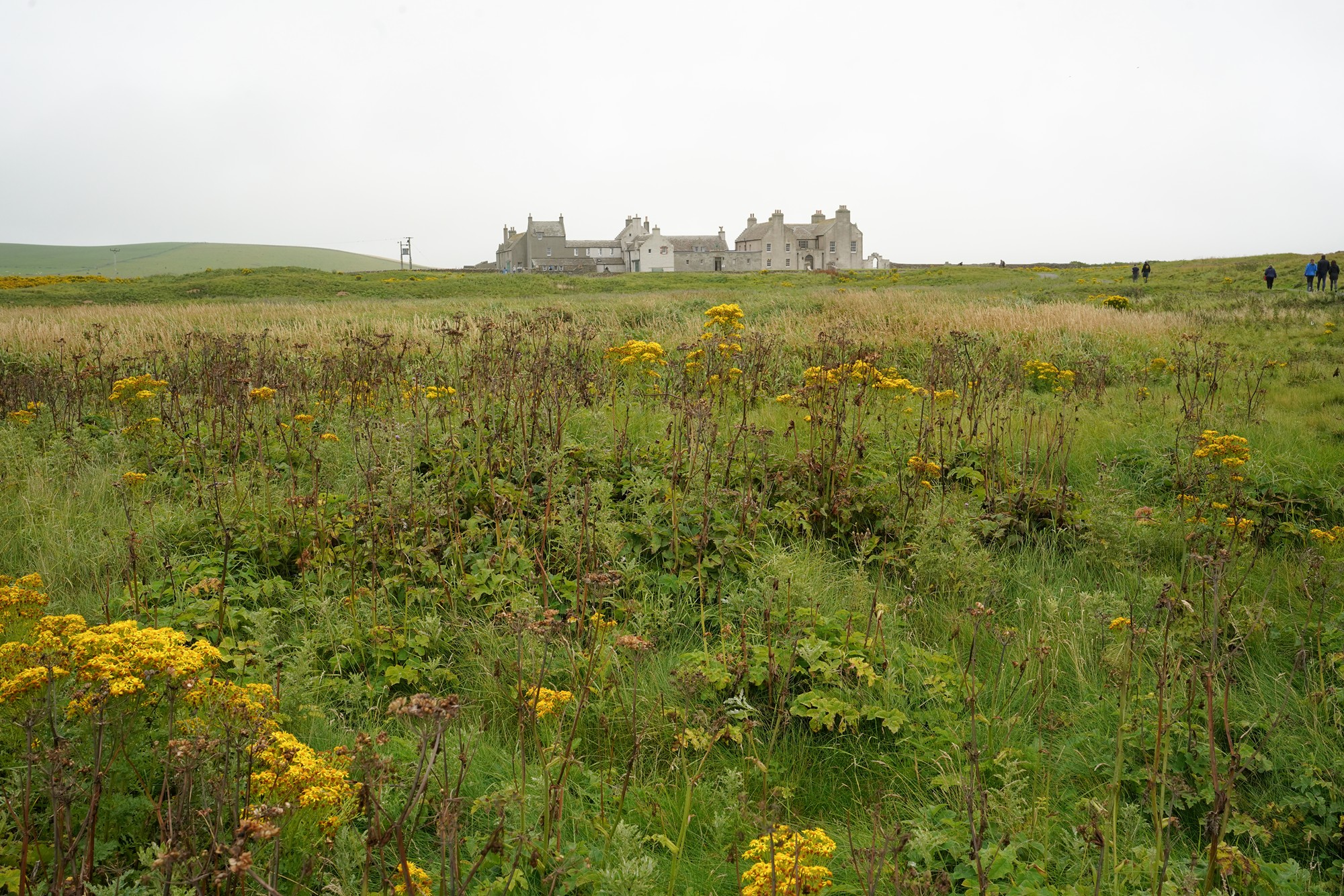
Skaill House was built in the early 17th century by Bishop George Graham. The house has undergone various architectural changes over the centuries, blending different styles and periods. It is an example of a Scottish laird’s mansion and provides insights into the architectural evolution of the region.
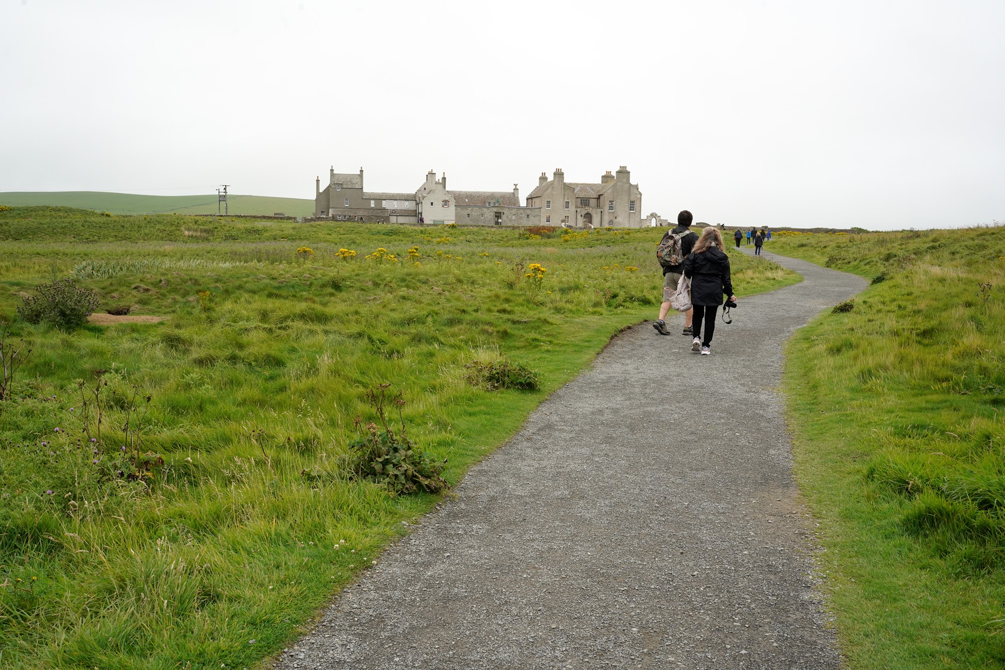
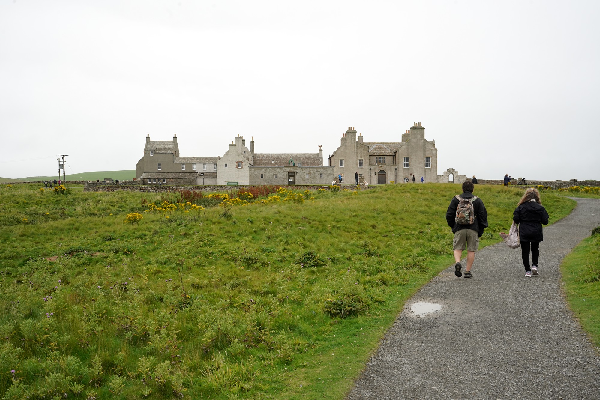
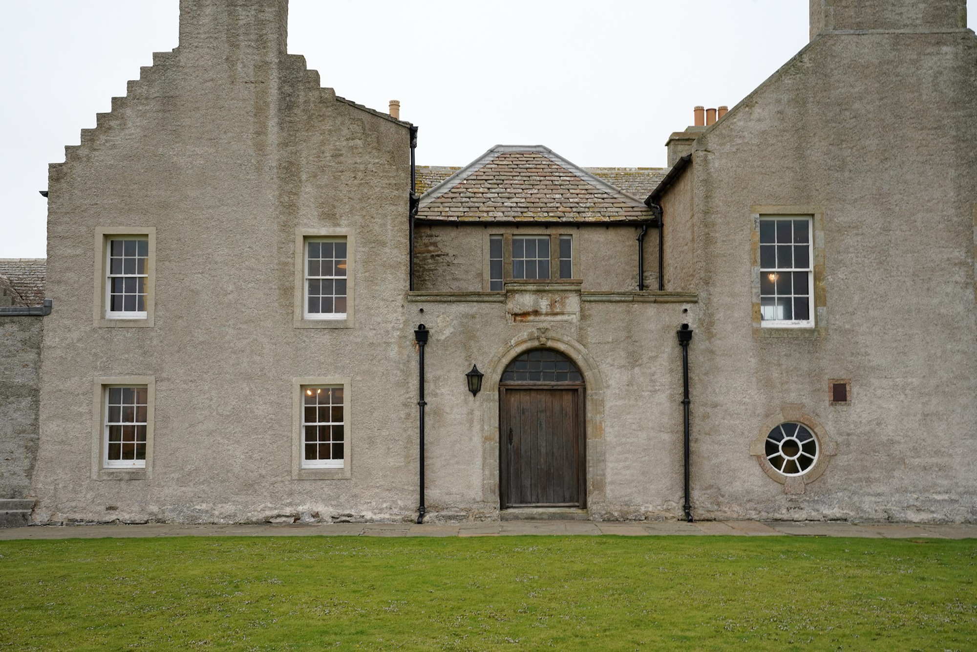
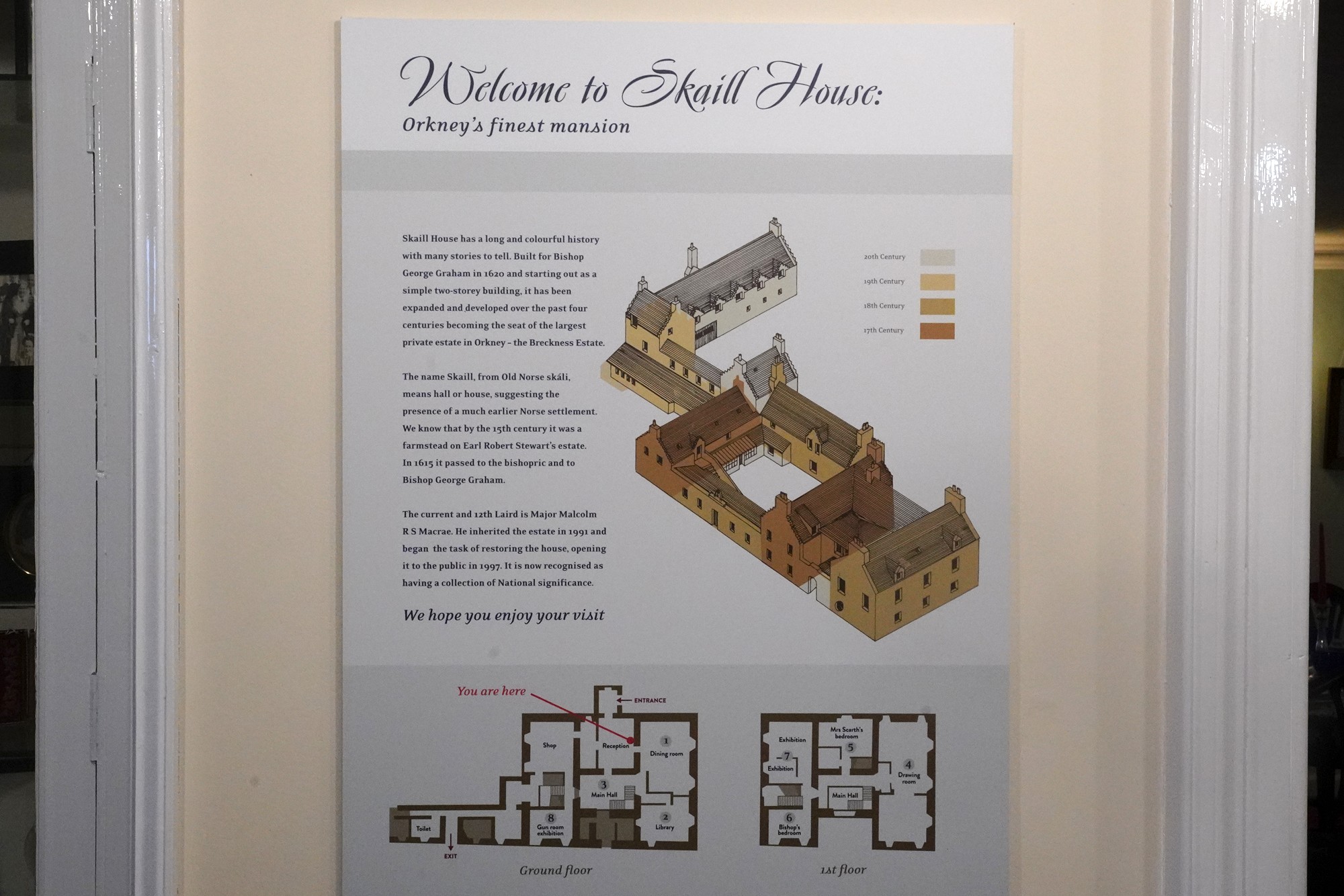
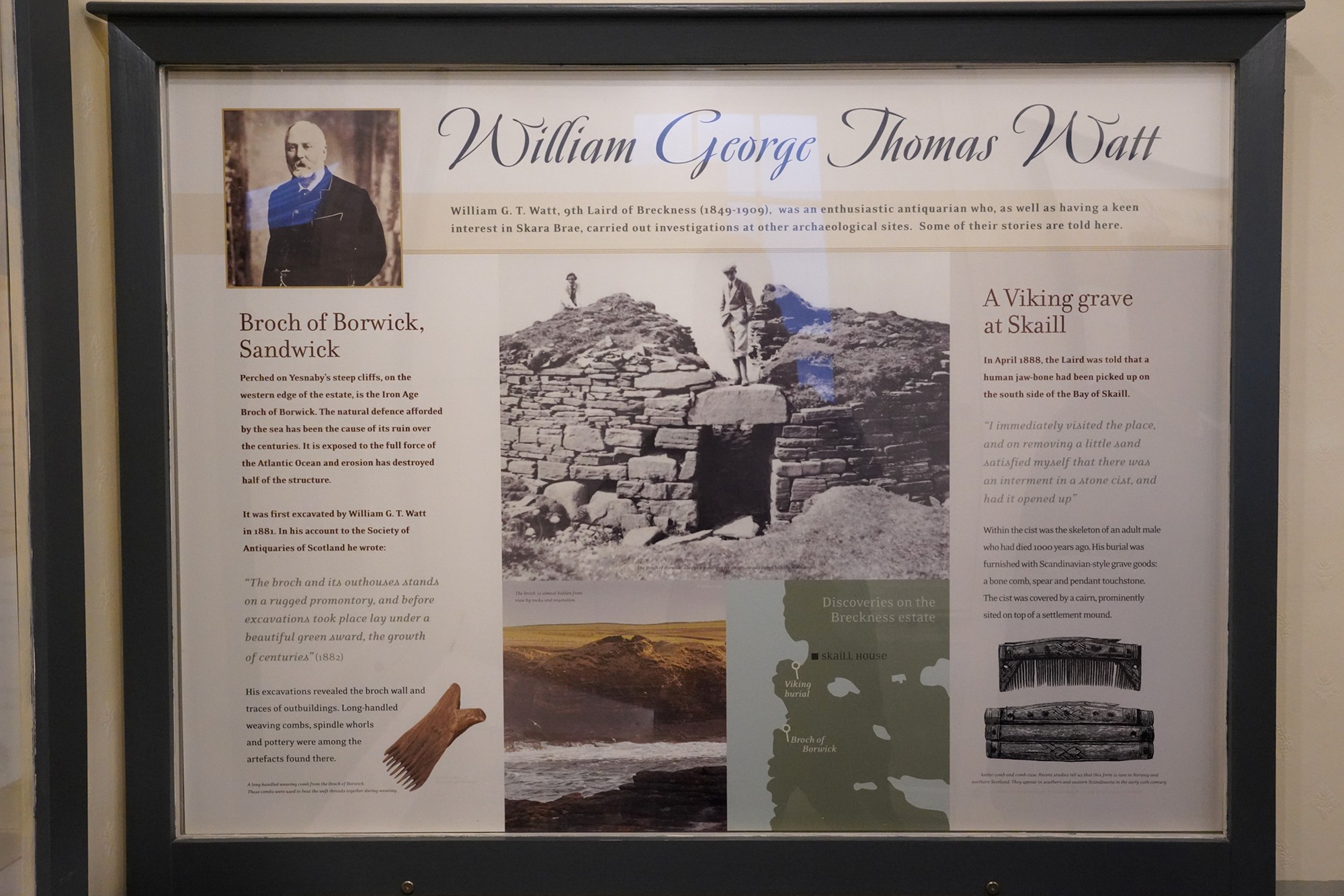
Today, Skaill House operates as a museum, offering visitors a chance to step back in time and experience life in Orkney over the centuries. The house is filled with period furniture, artwork, and memorabilia, providing a glimpse into the daily lives of its past inhabitants.
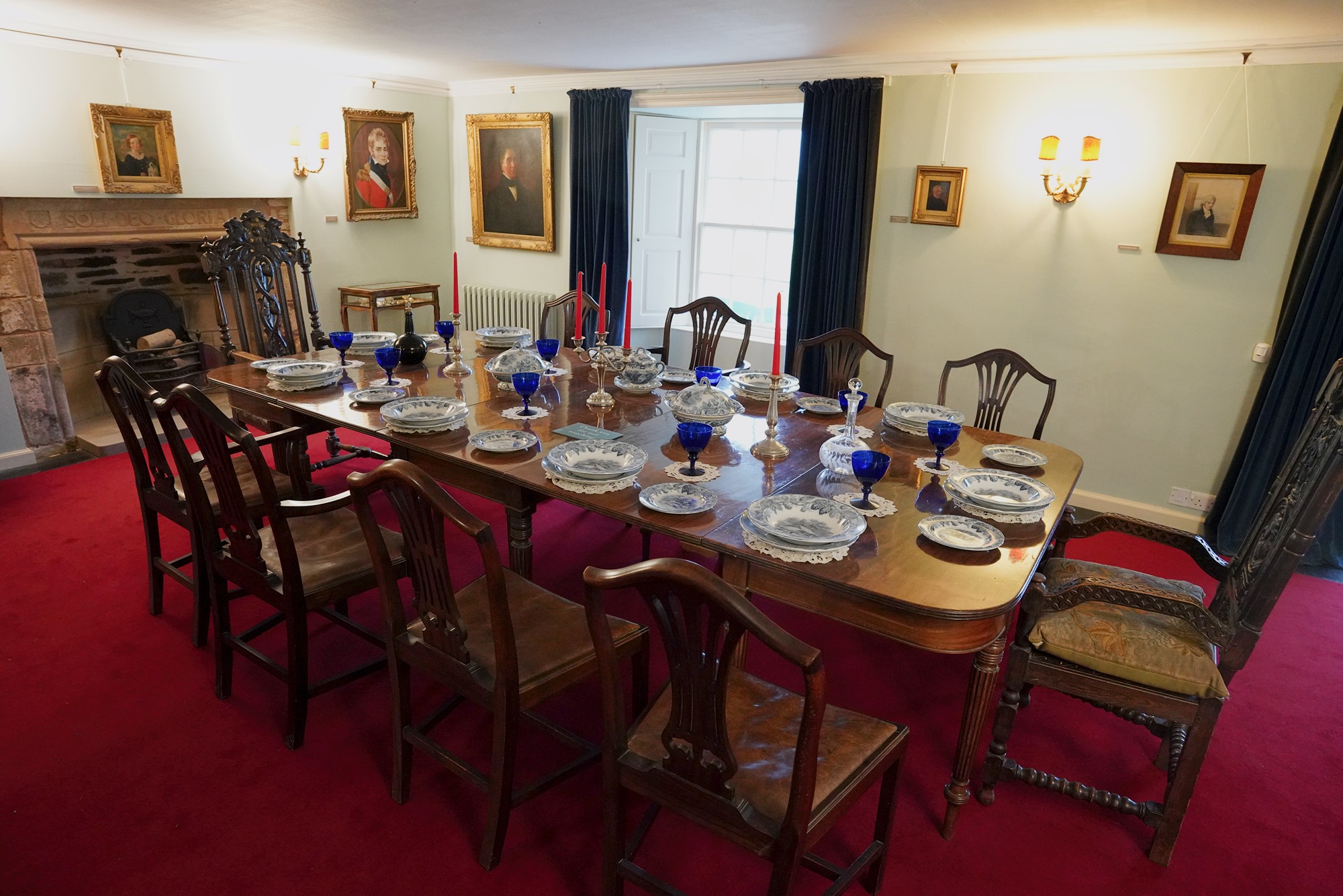
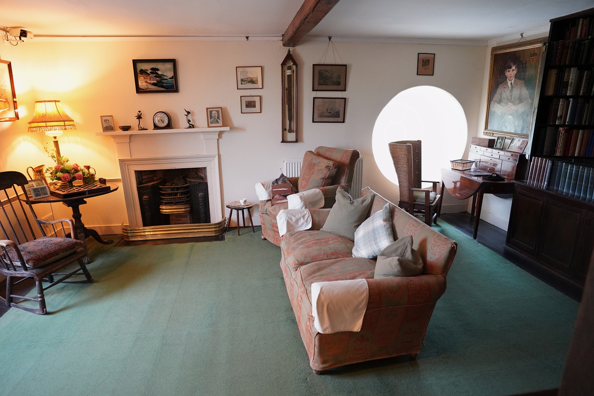
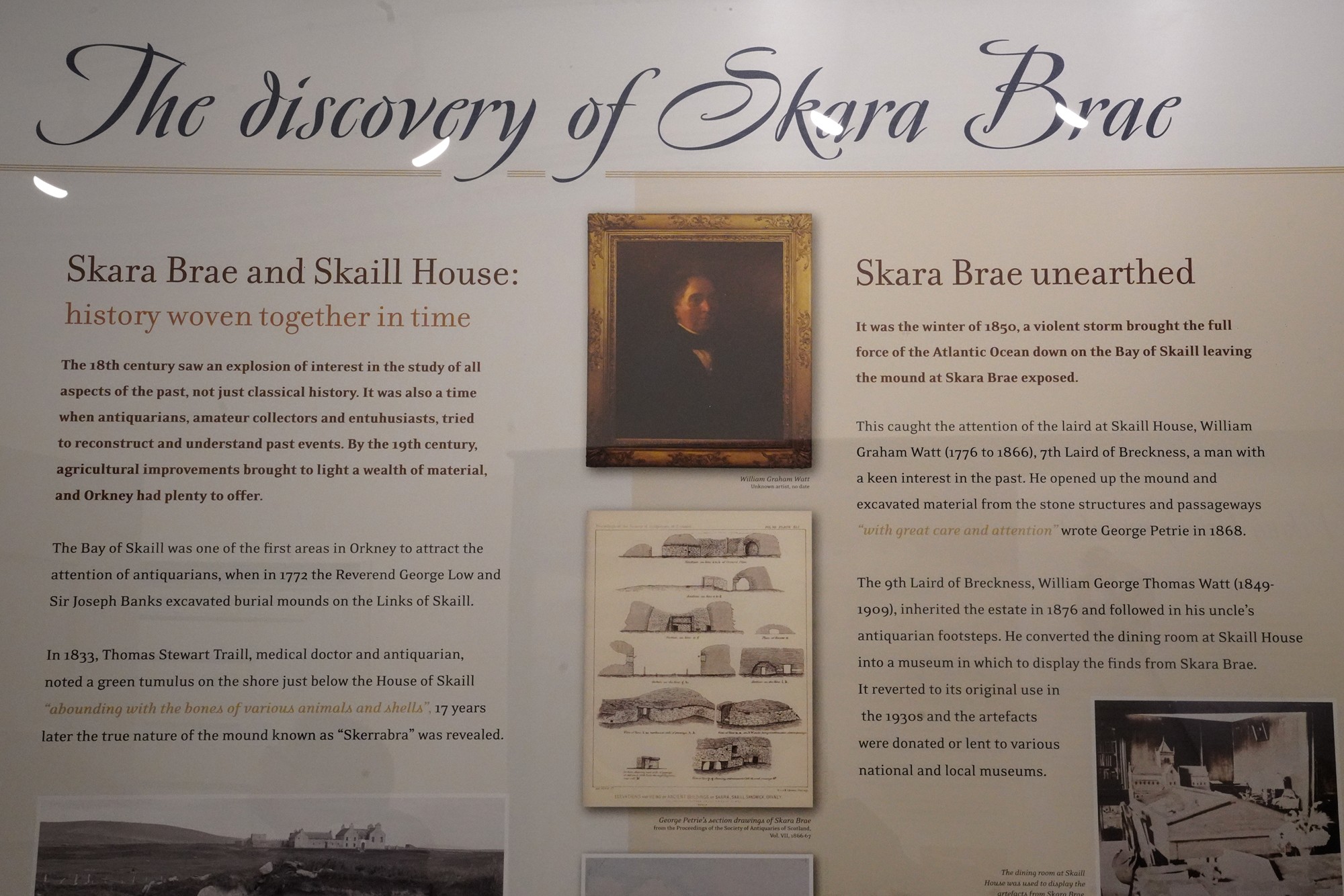
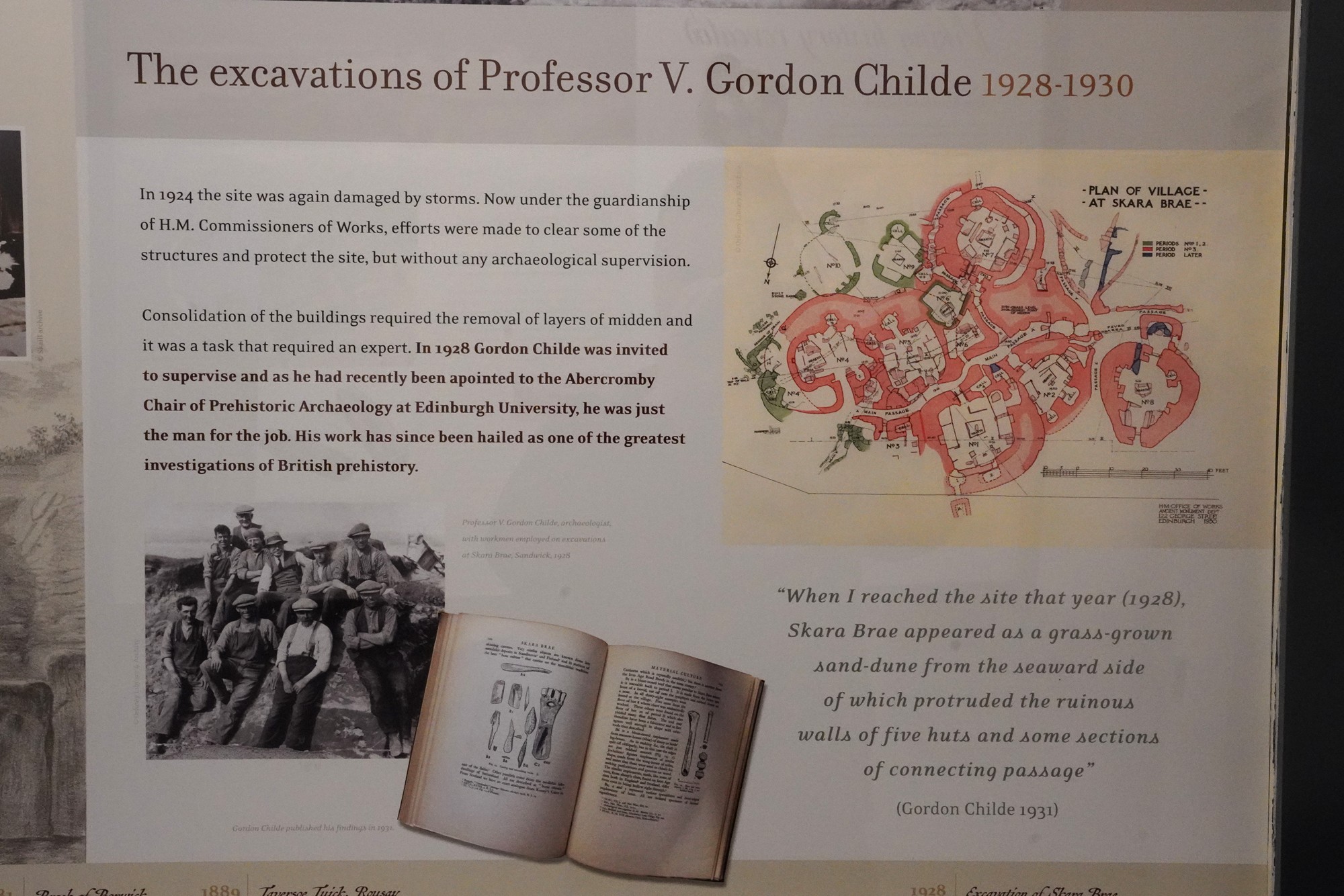
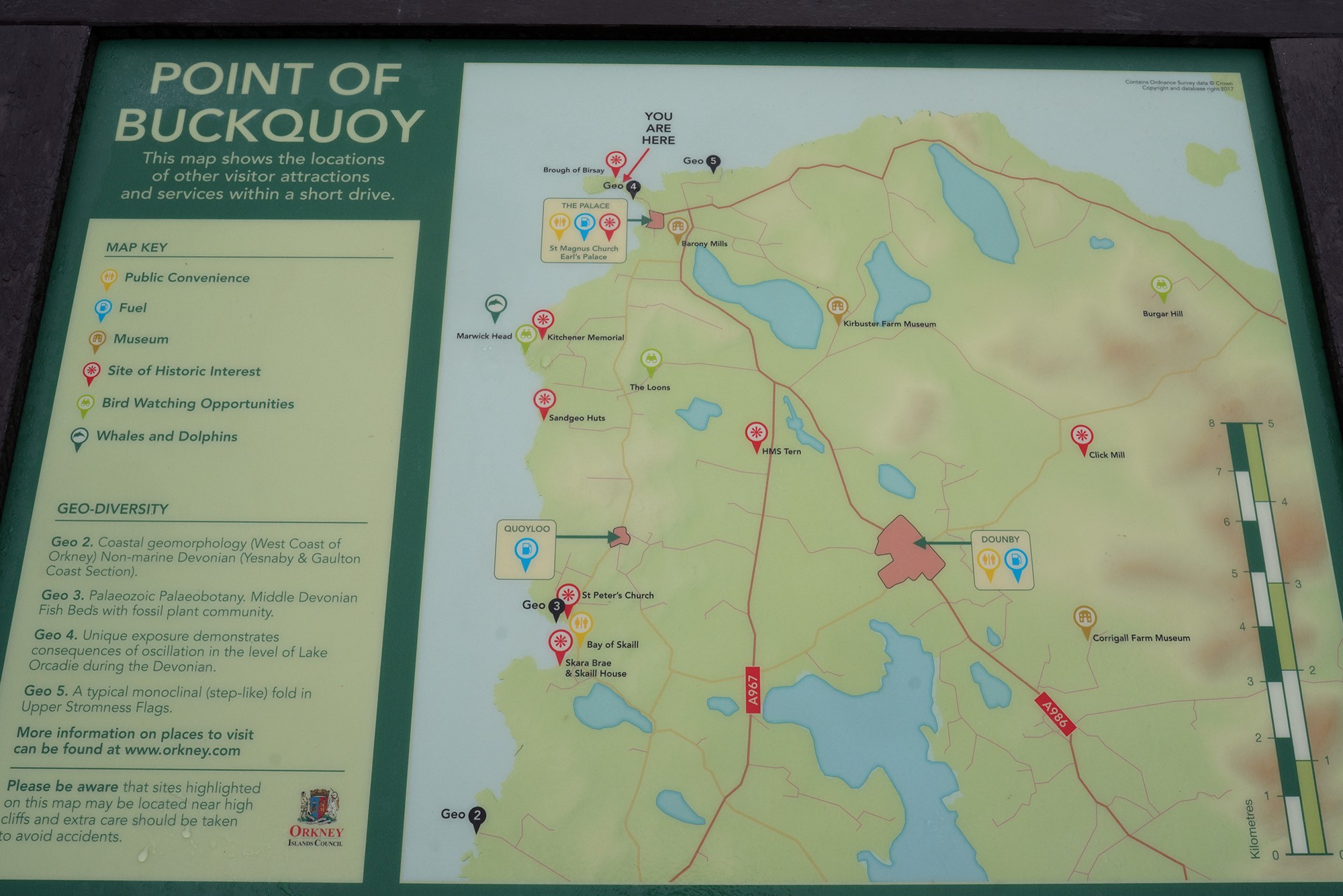
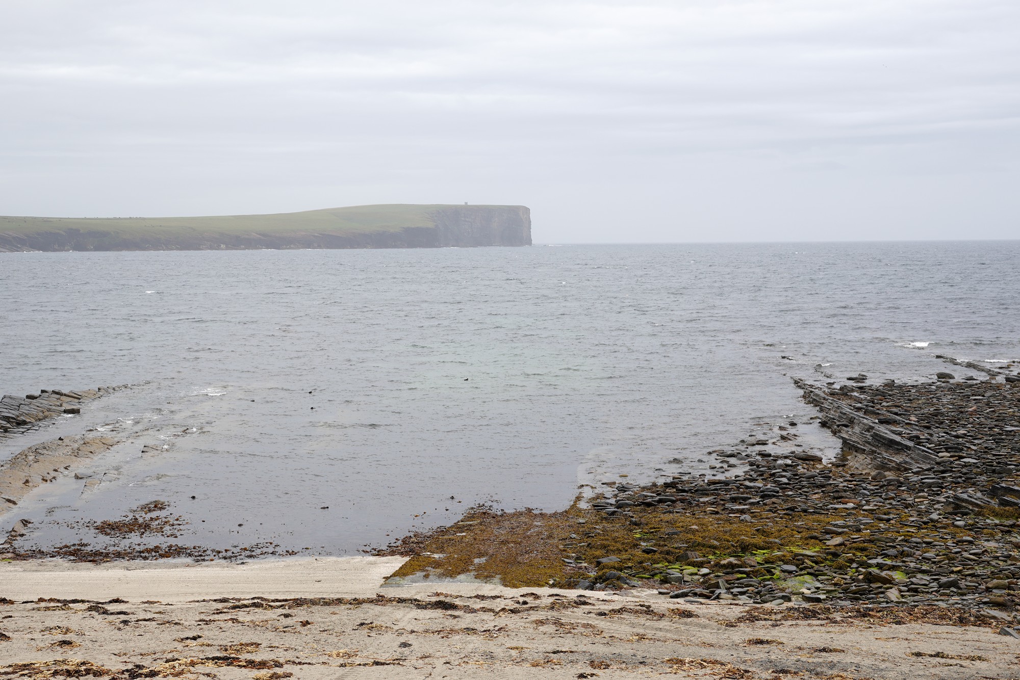
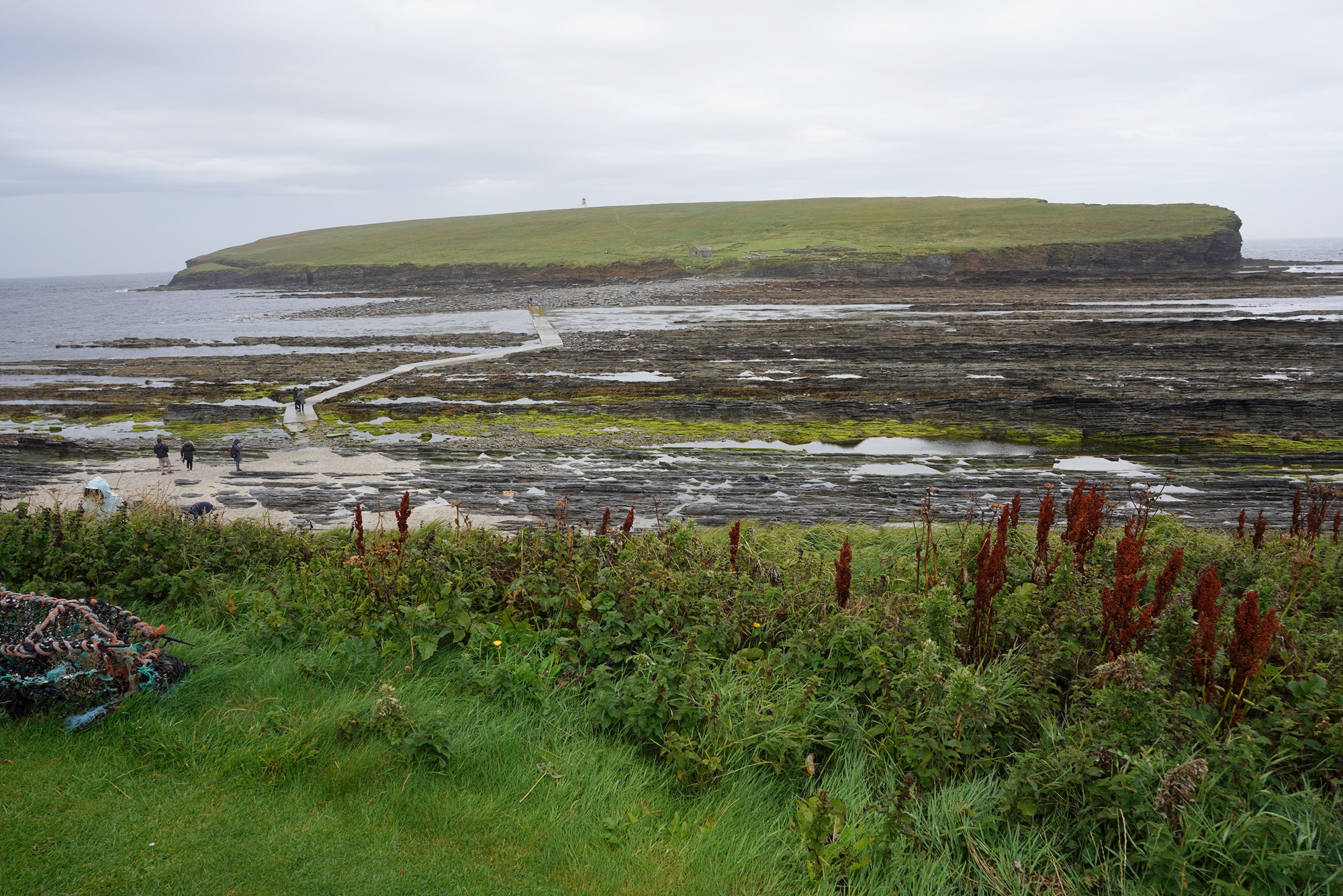
The next stop was Point of BuckQuoy.
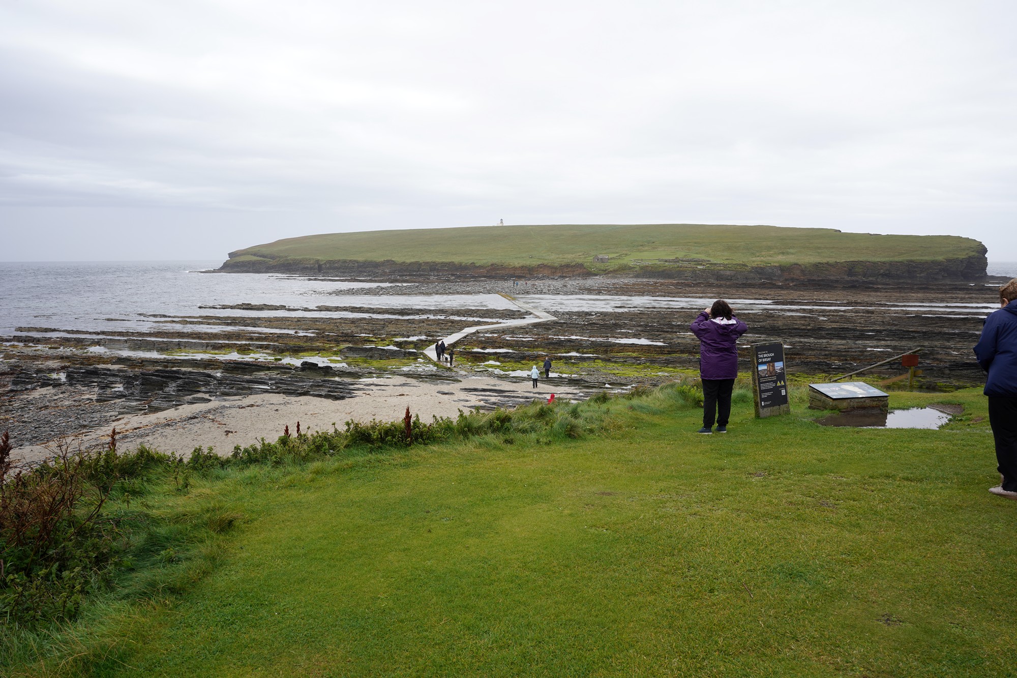
But the water started to cover the causeway (bridge), so we stopped here.
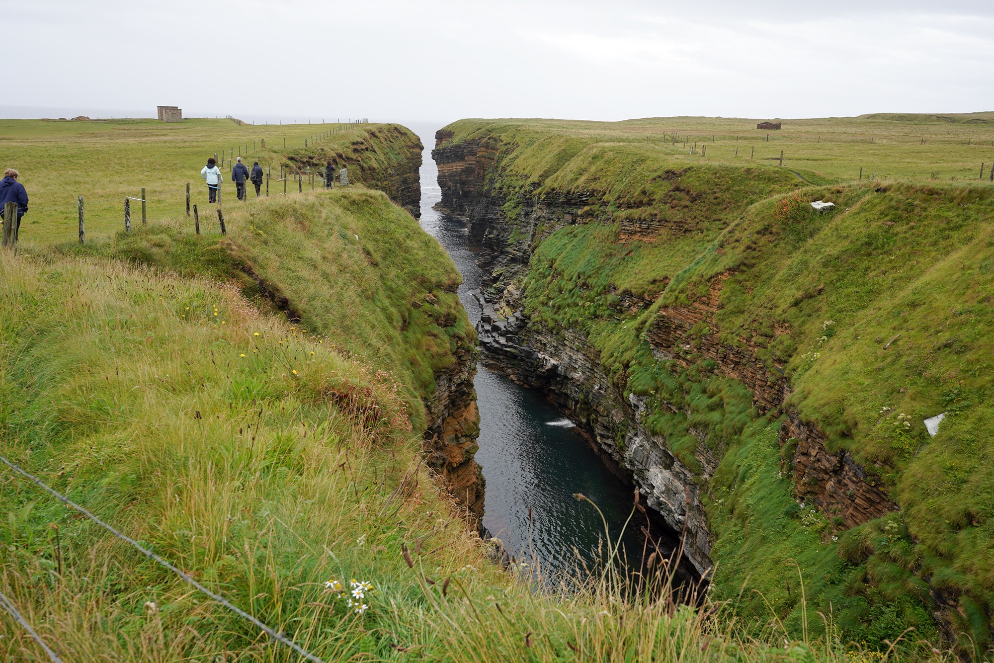
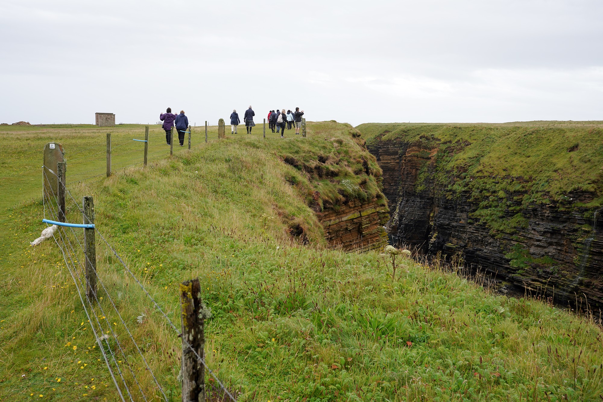
The next stop was Longaglebe Geo, another cliff near the ocean.
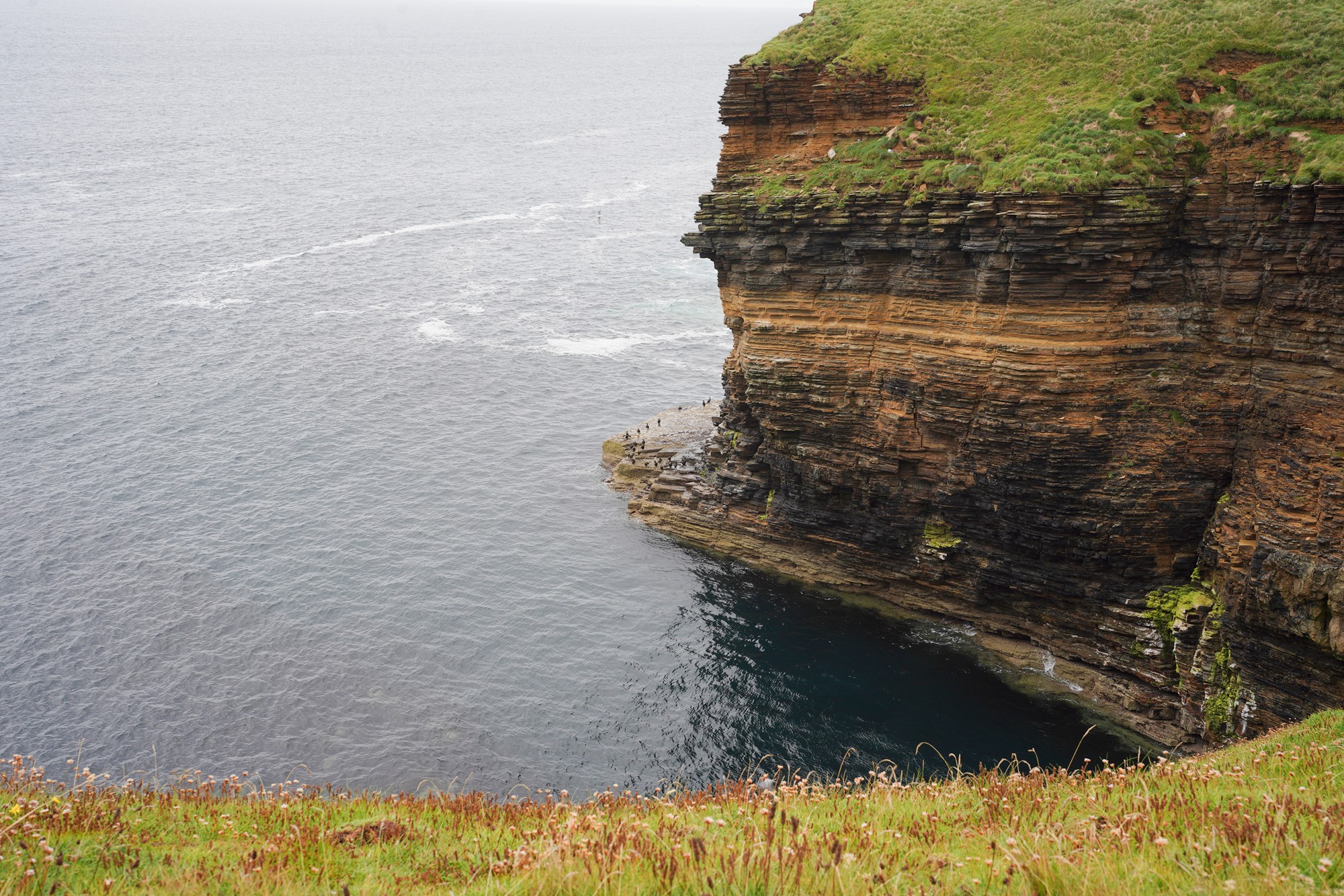
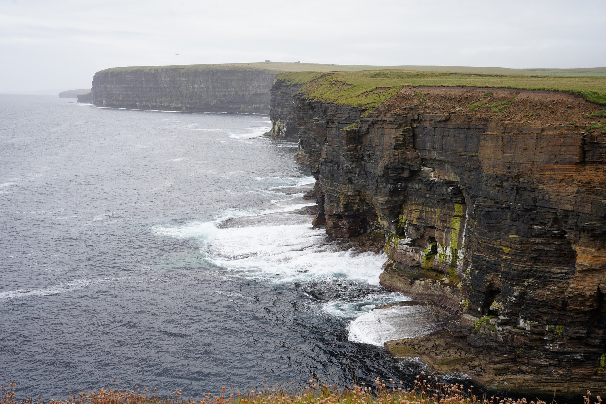
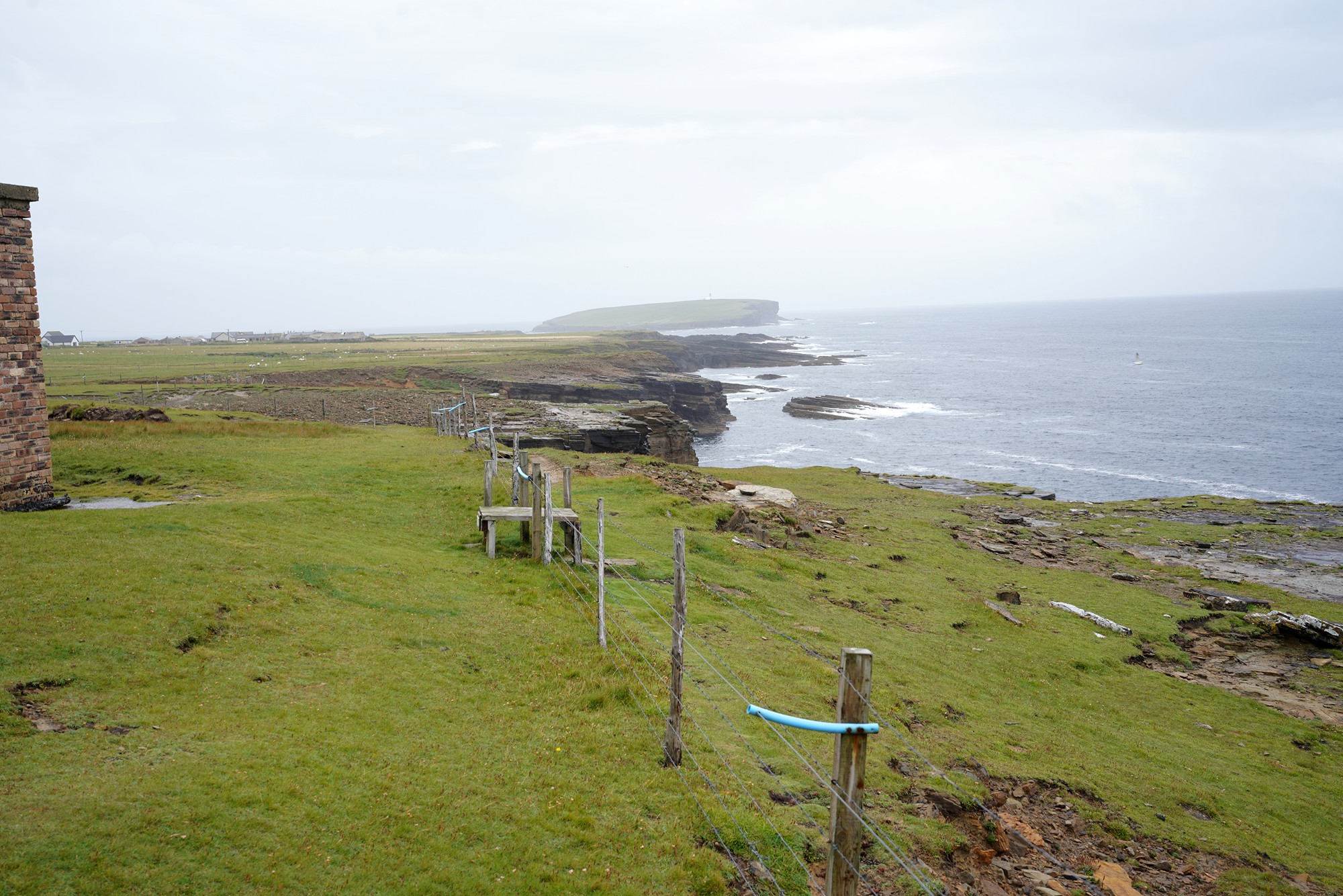
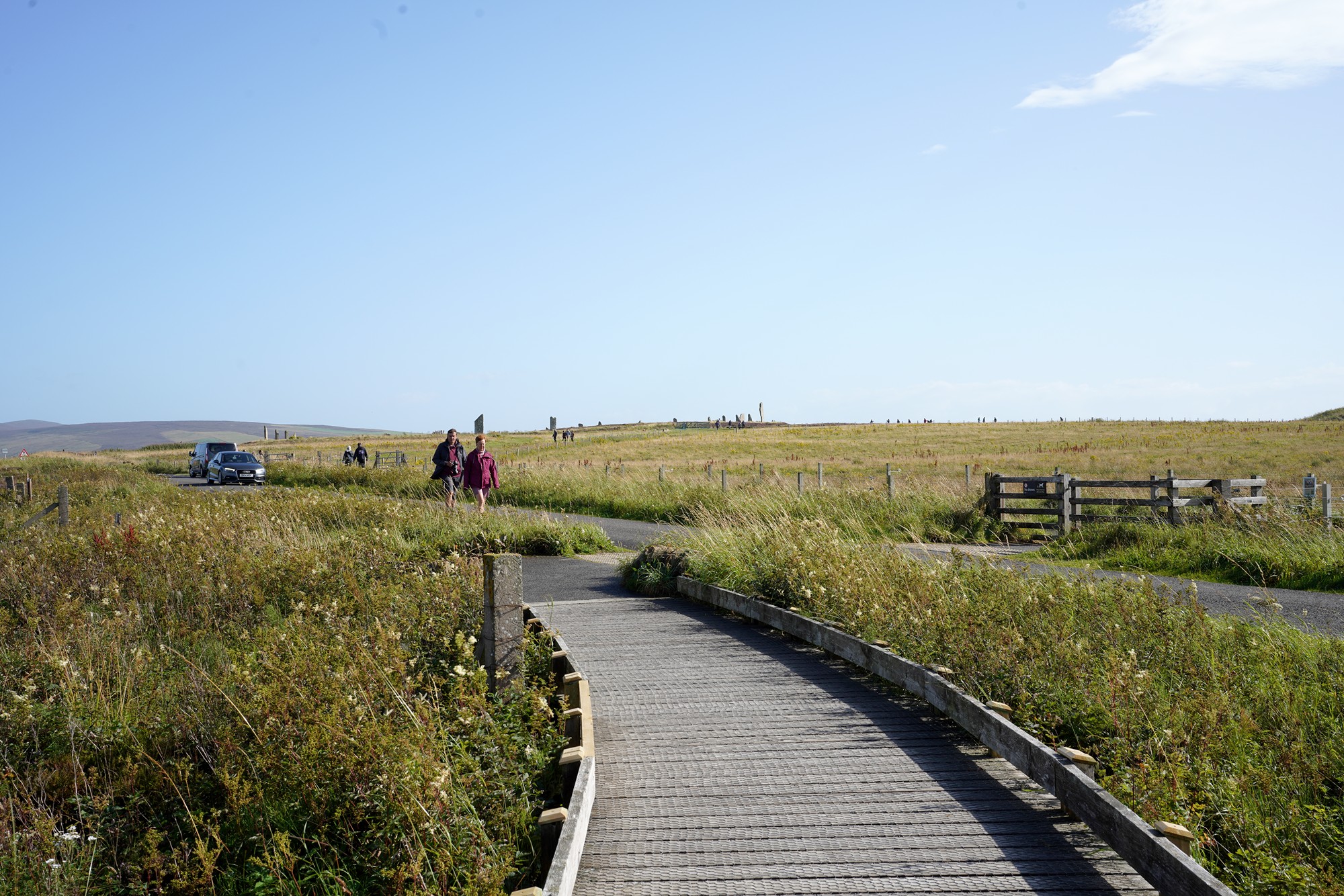
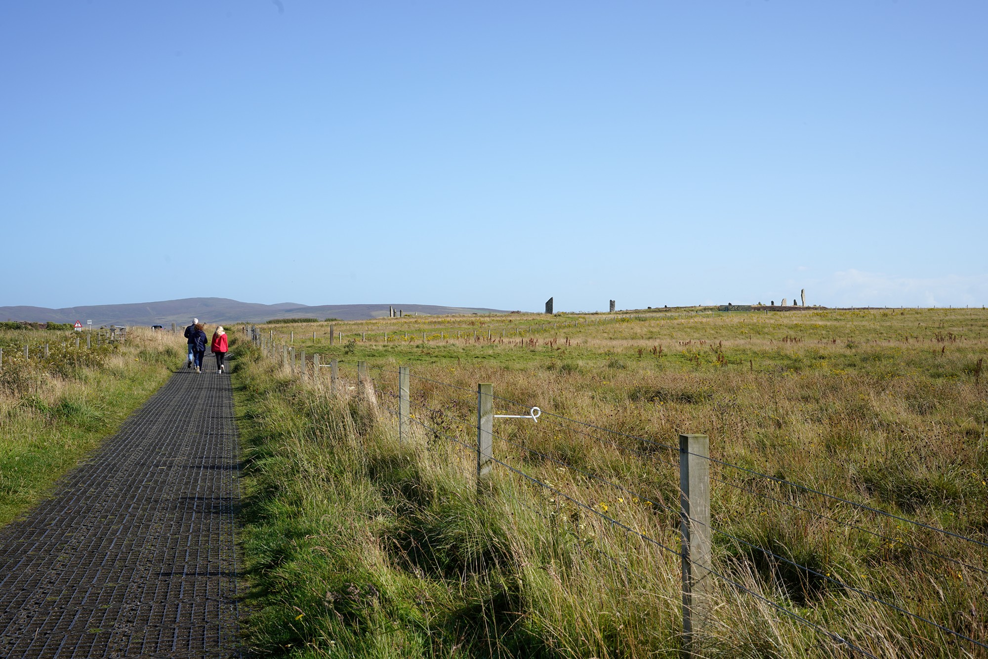
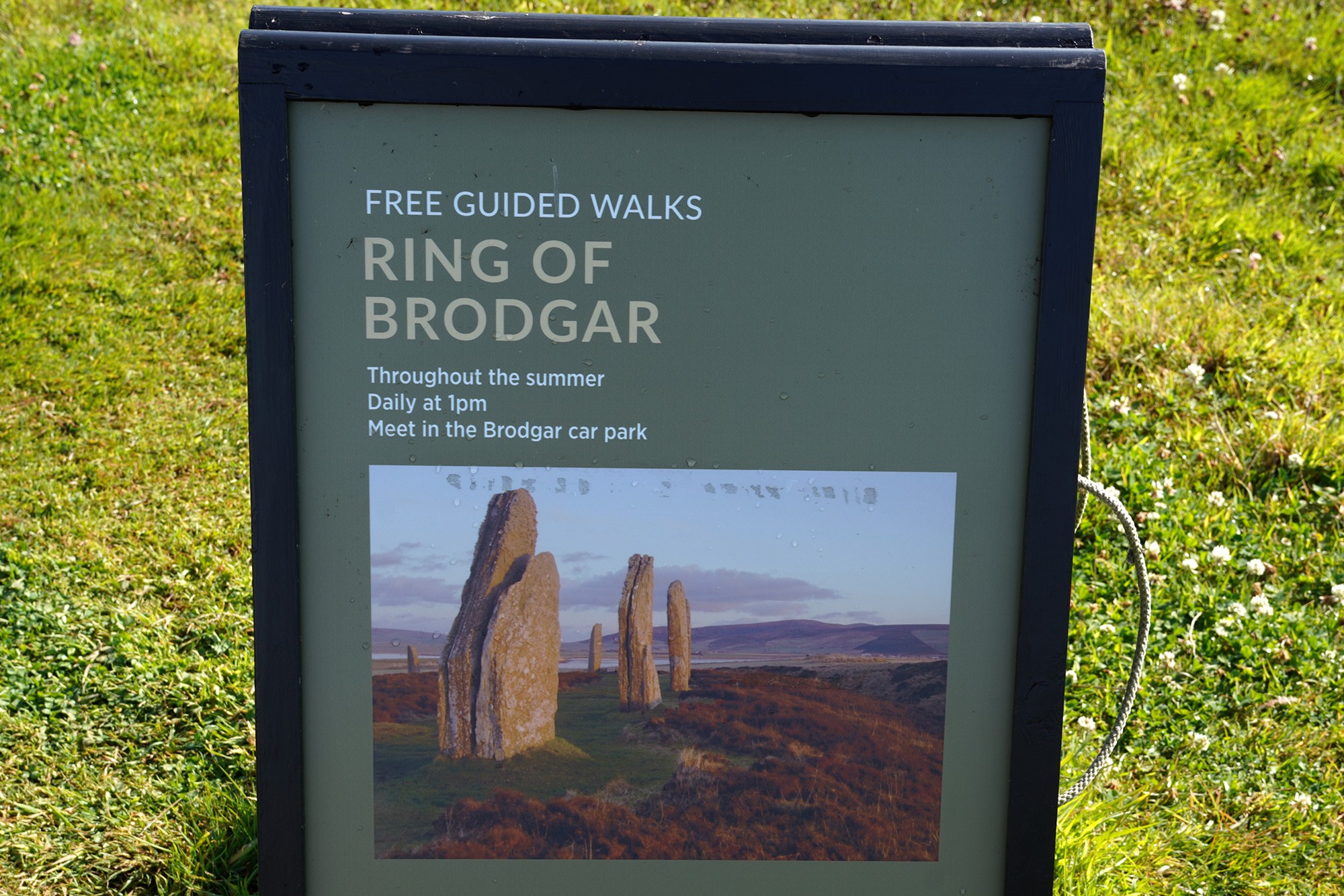
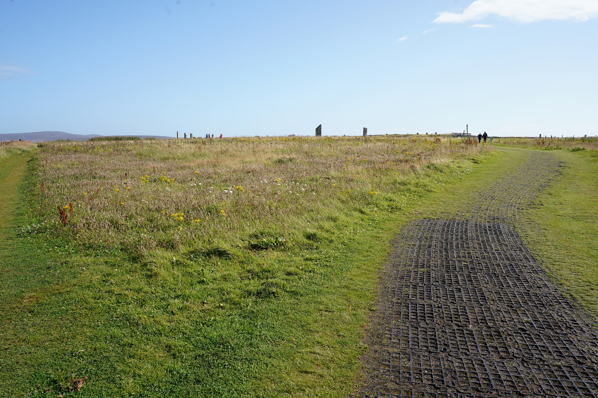
The next stop was the Ring of Brodgar. The Ring of Brodgar is a remarkable Neolithic stone circle. It is one of the most iconic and well-preserved prehistoric monuments in the British Isles and is part of the Heart of Neolithic Orkney World Heritage Site.
The Ring of Brodgar was built around 2500 BC during the Neolithic period, making it over 4,500 years old. It consists of a circular arrangement of standing stones, originally consisting of 60 stones, though fewer remain standing today.
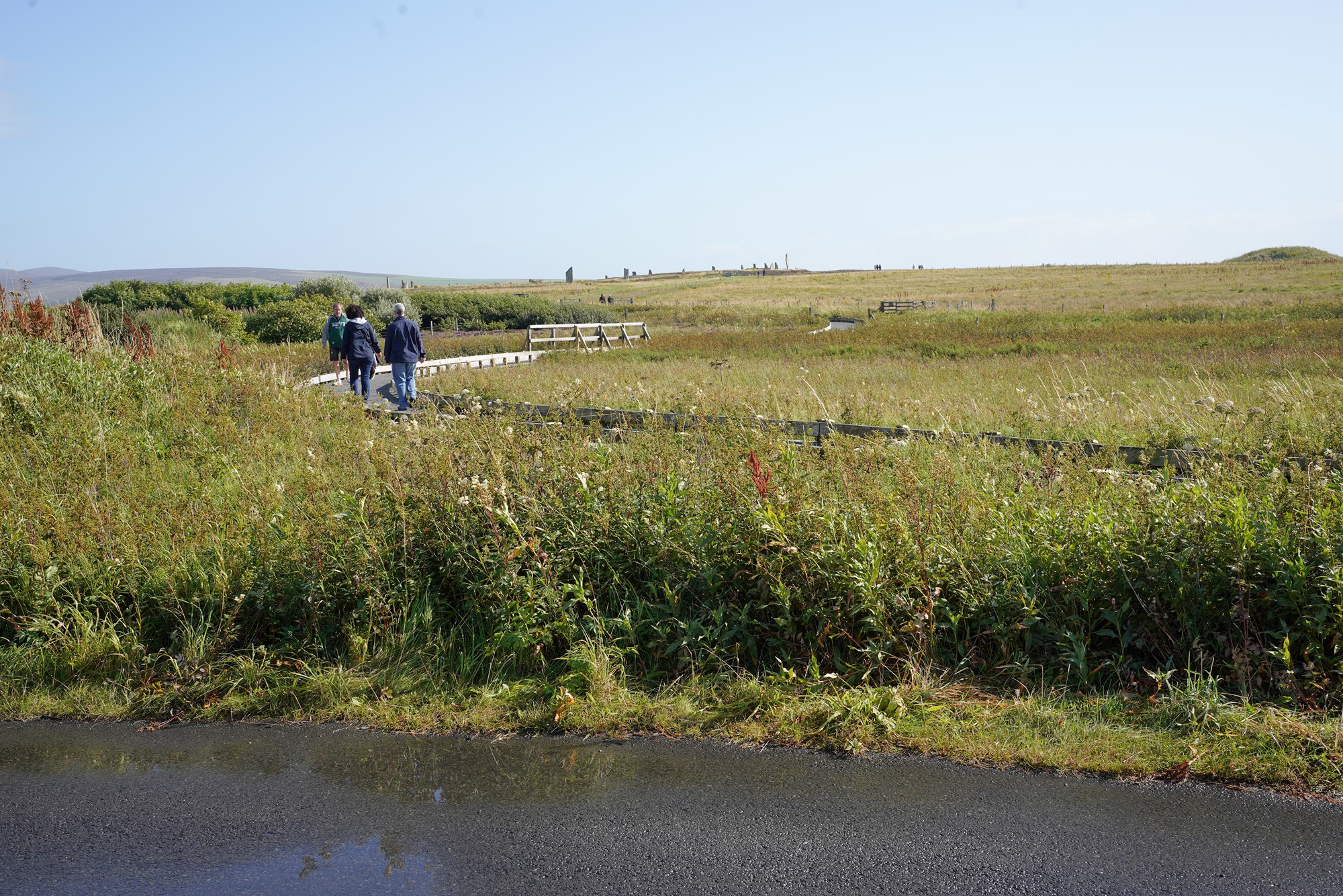
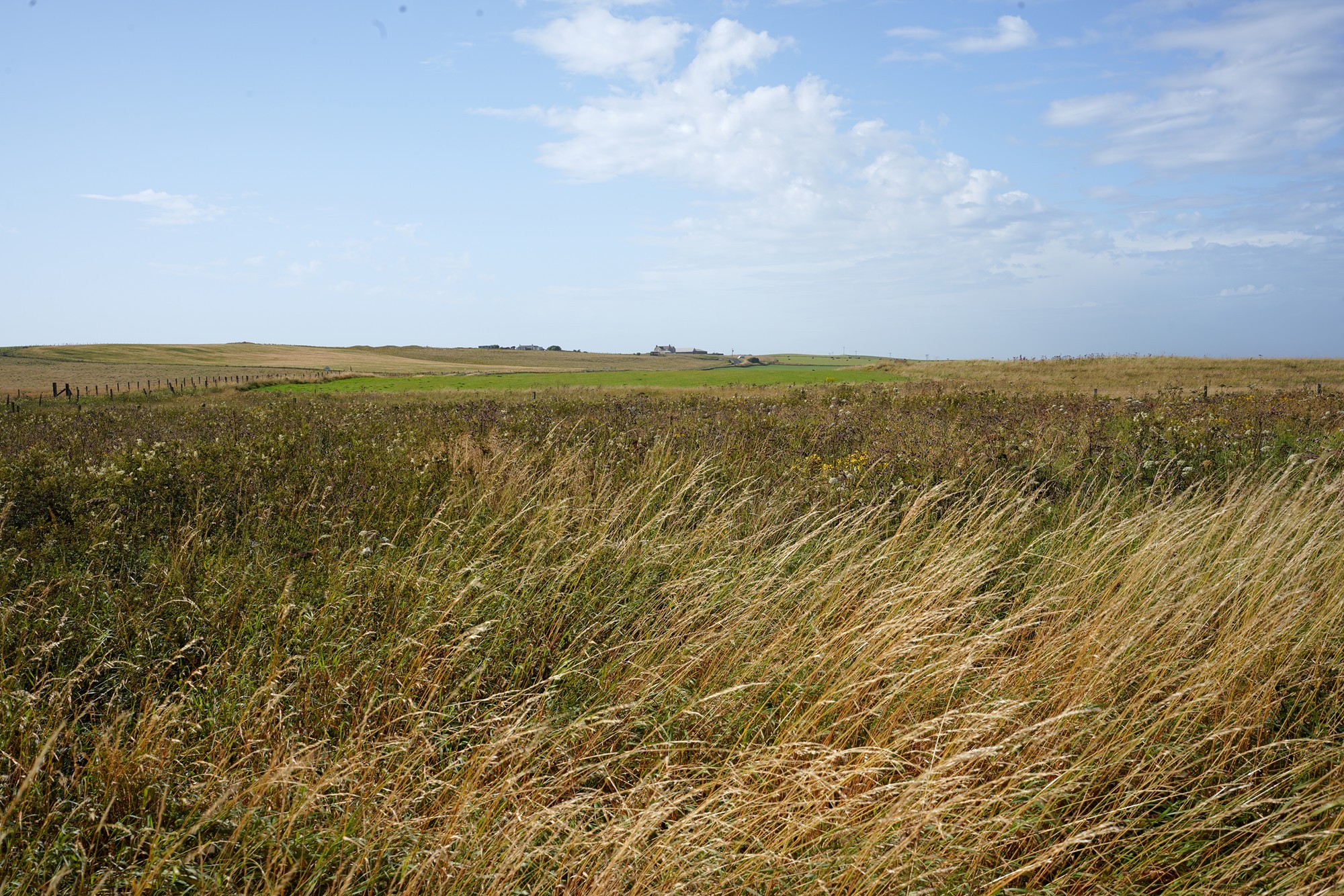
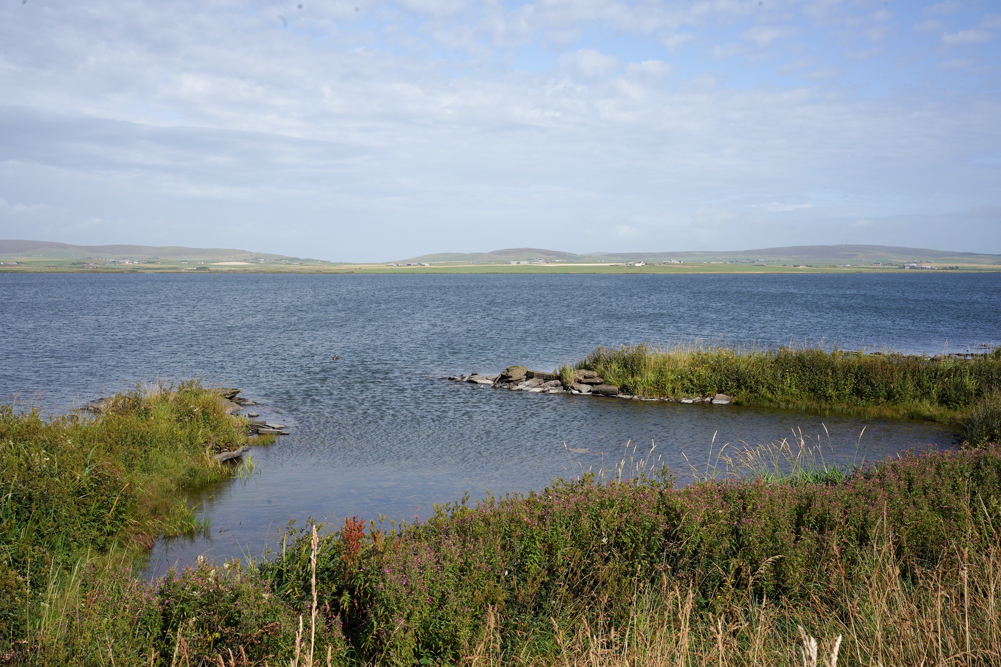
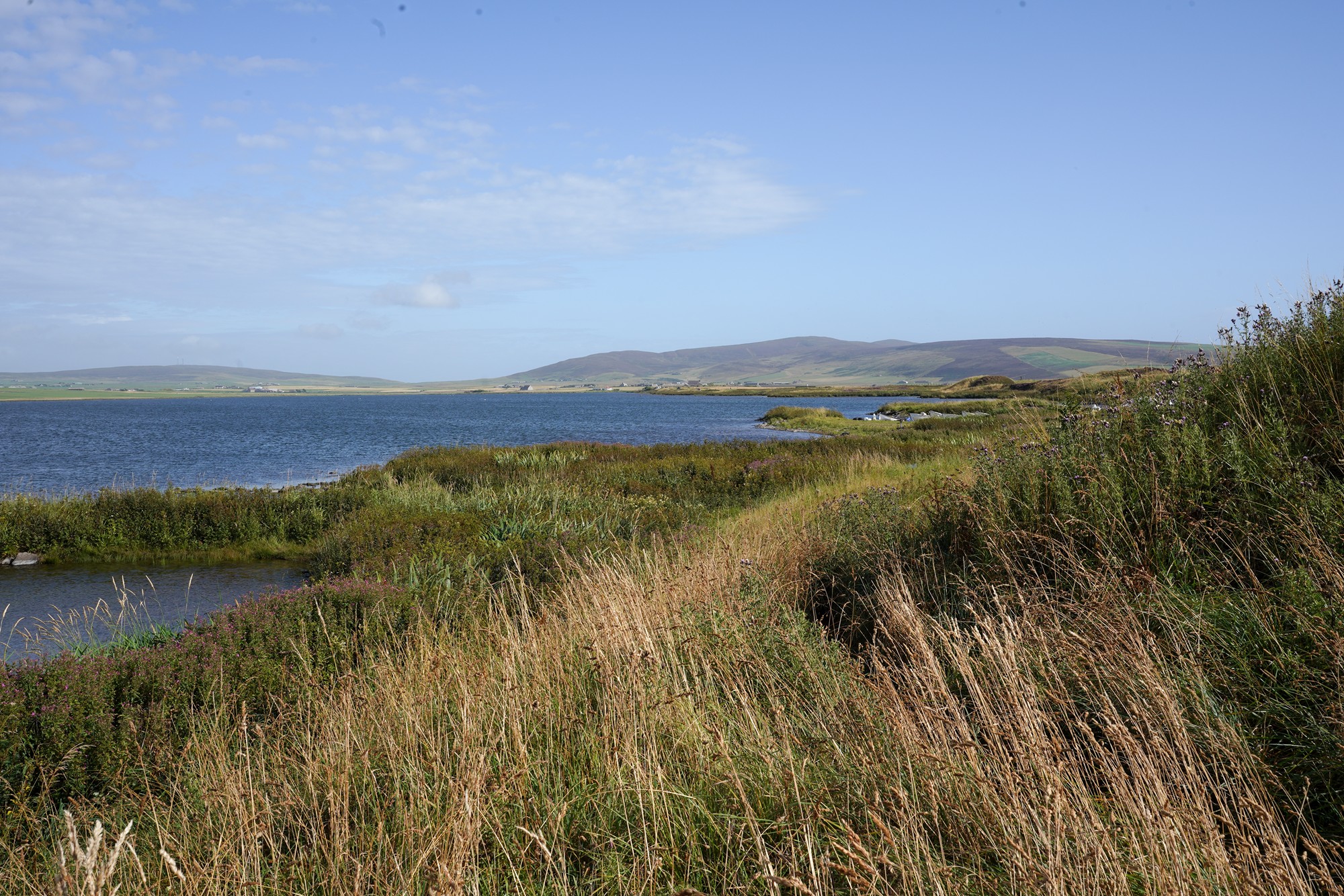
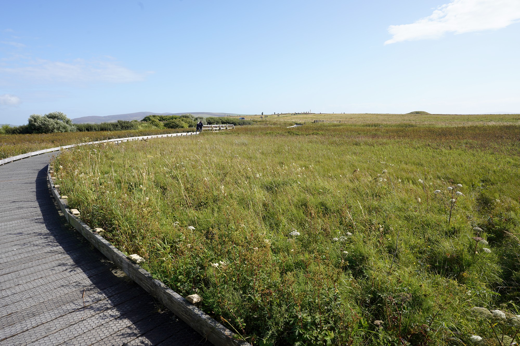
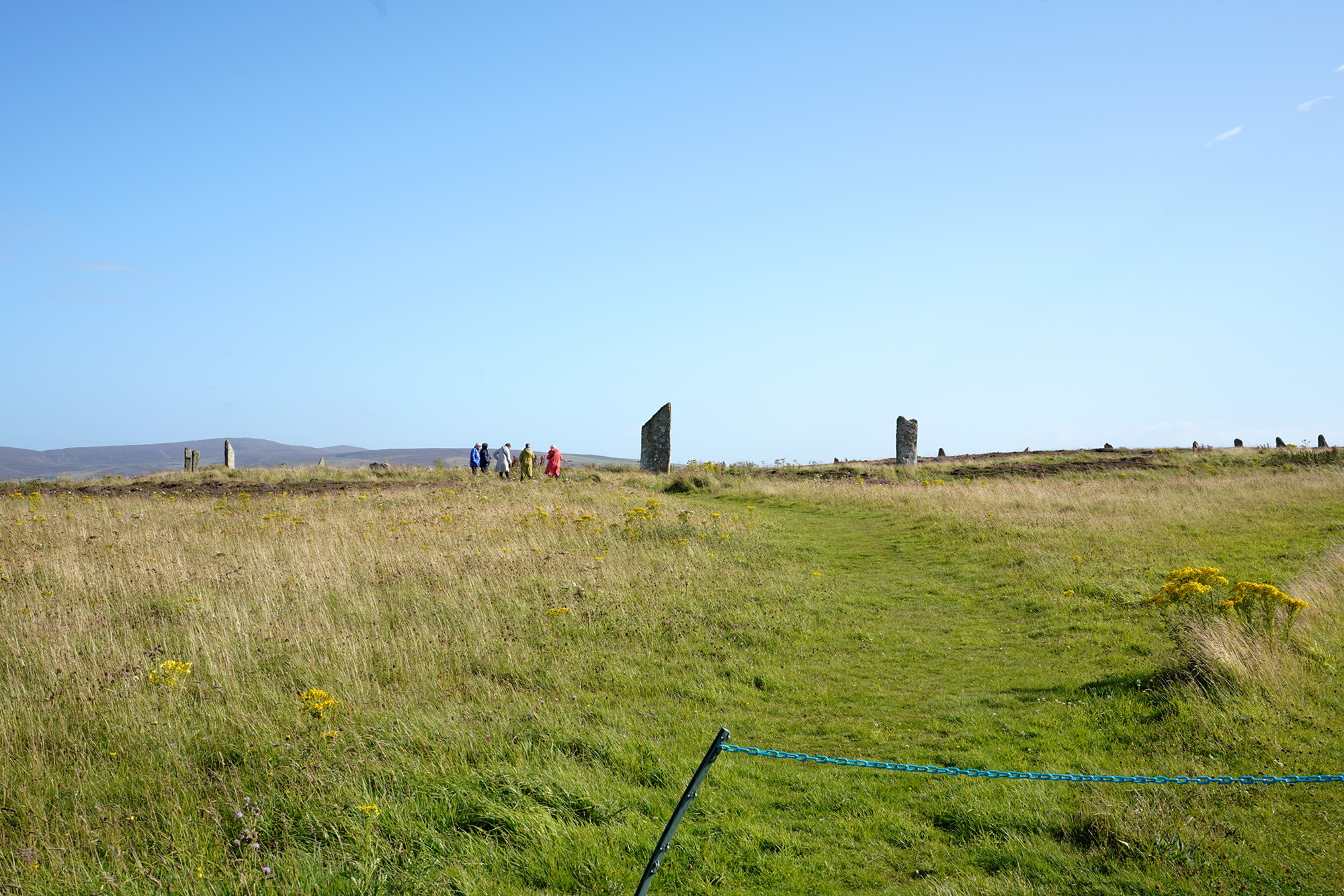
Panoramic view
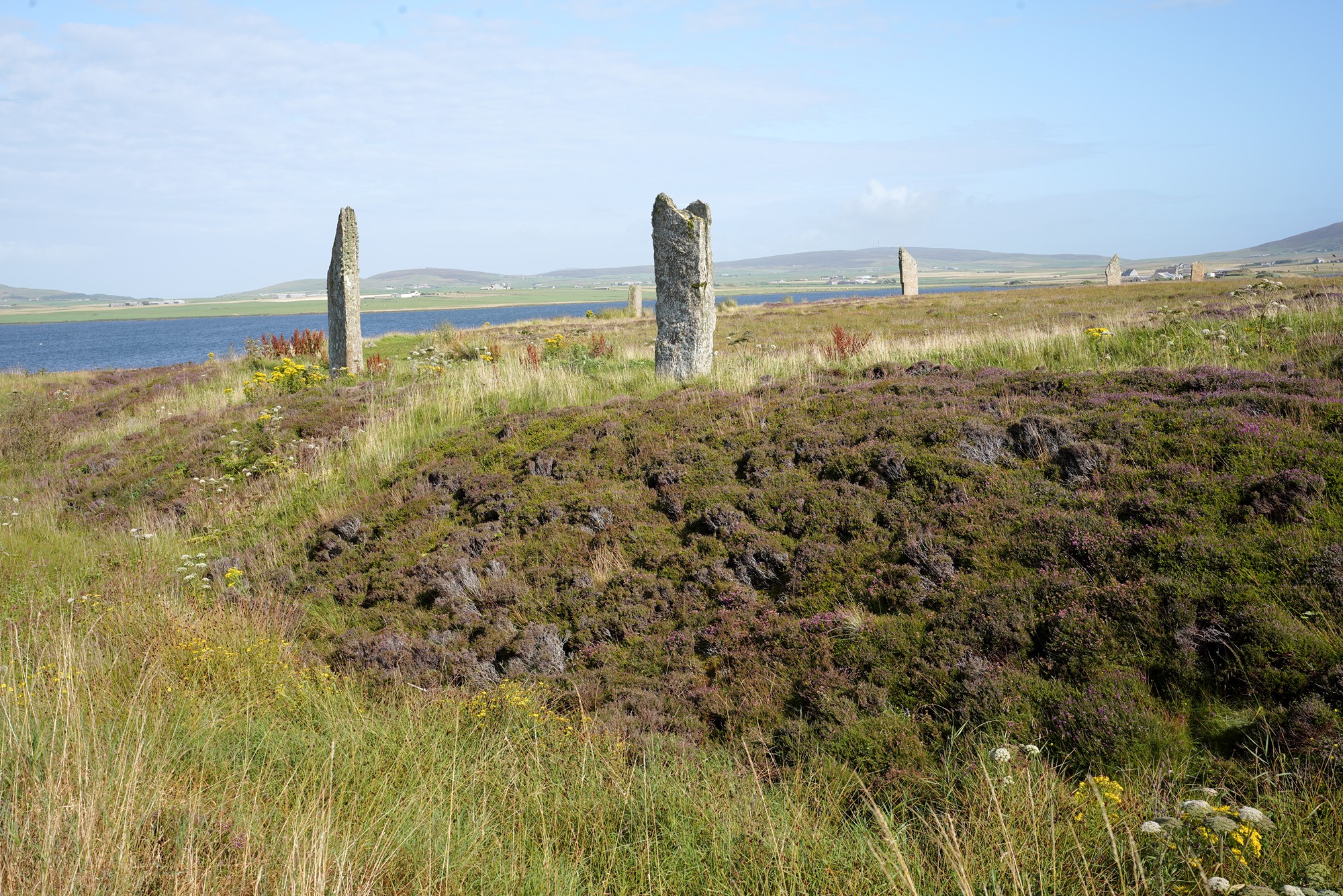
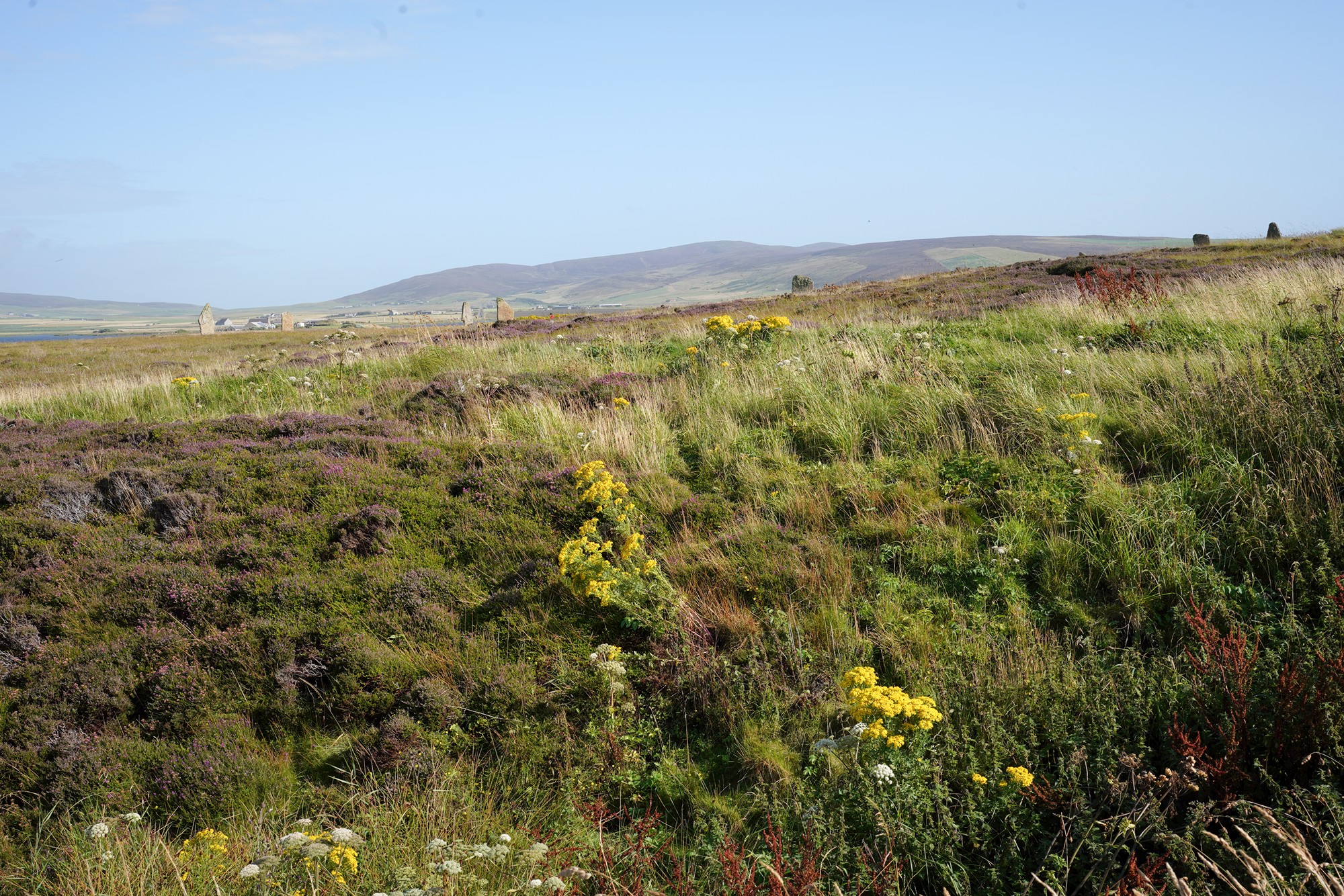
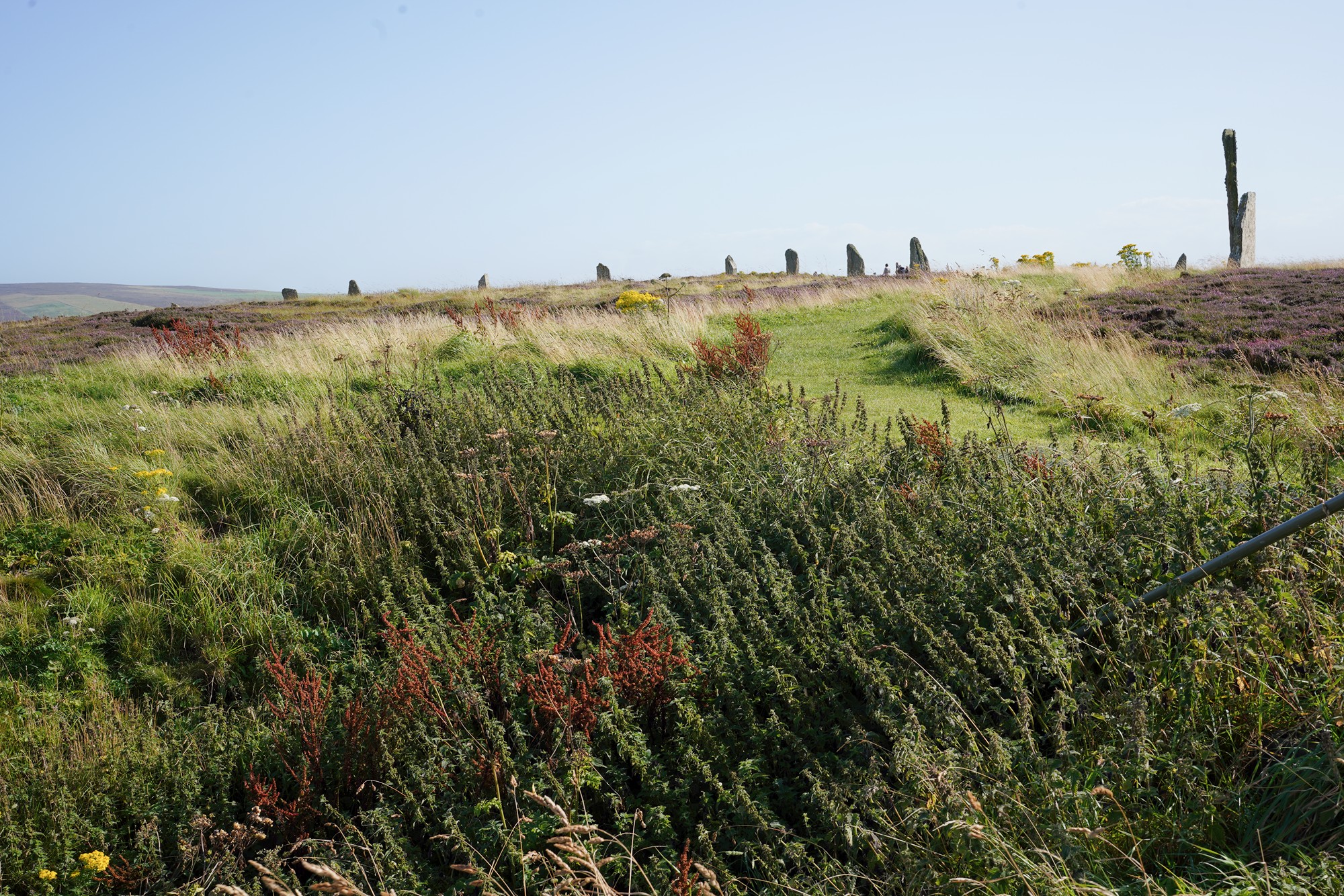
A path that goes around the circle
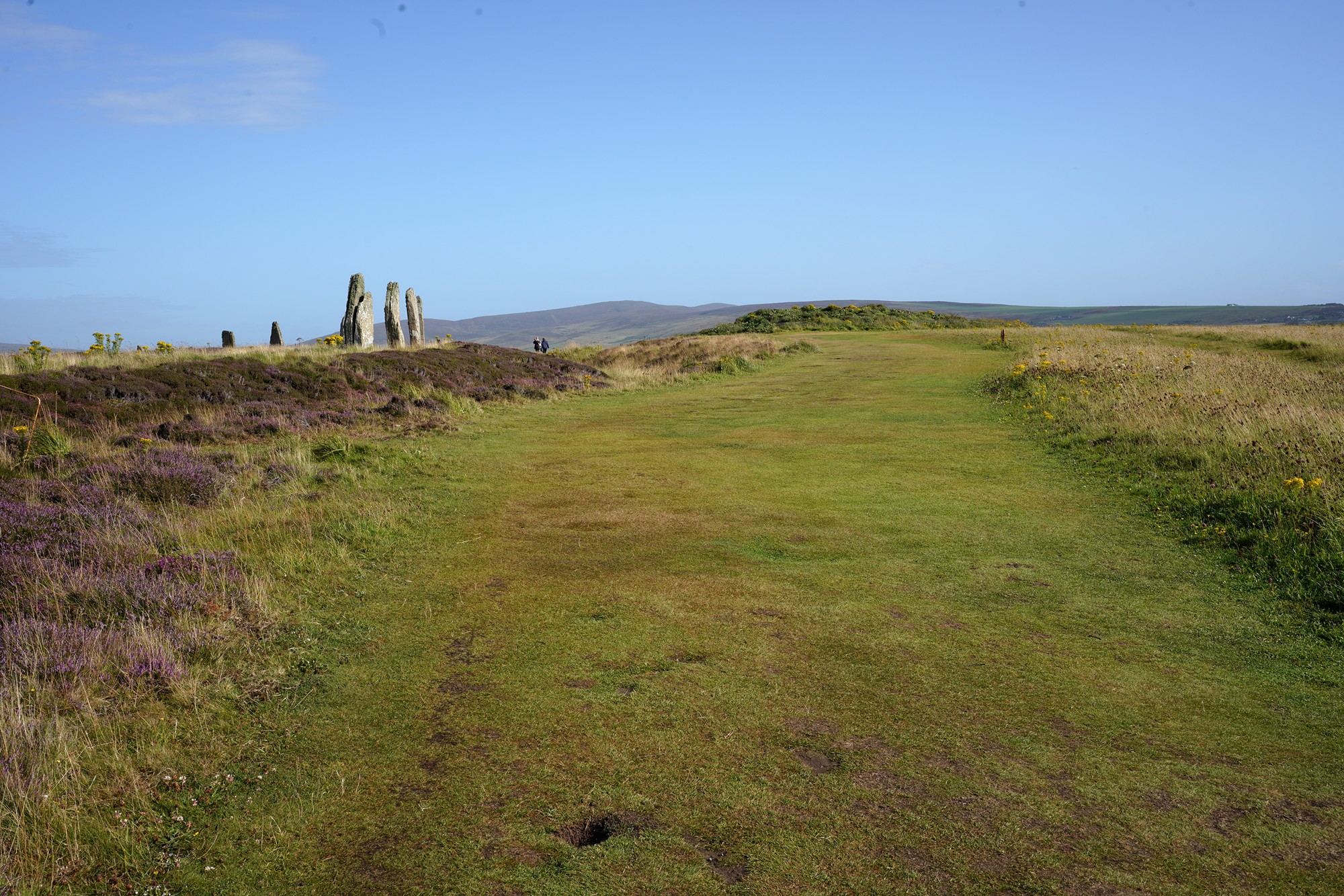
The exact purpose of the Ring of Brodgar remains a subject of speculation and debate among archaeologists. It is believed that the stone circle had ceremonial, religious, and possibly astronomical significance. Some researchers suggest that it might have been used for seasonal or lunar observations.
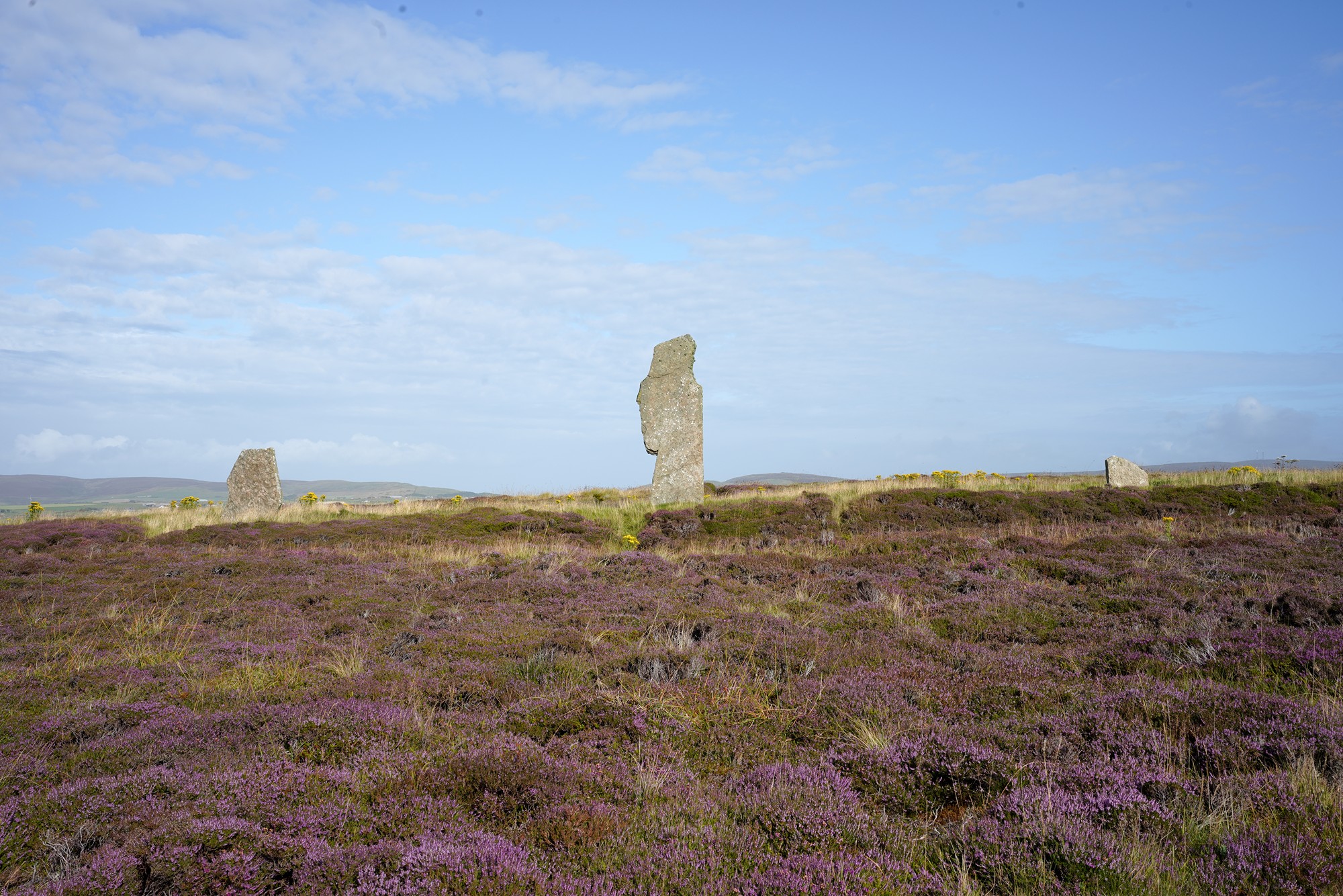
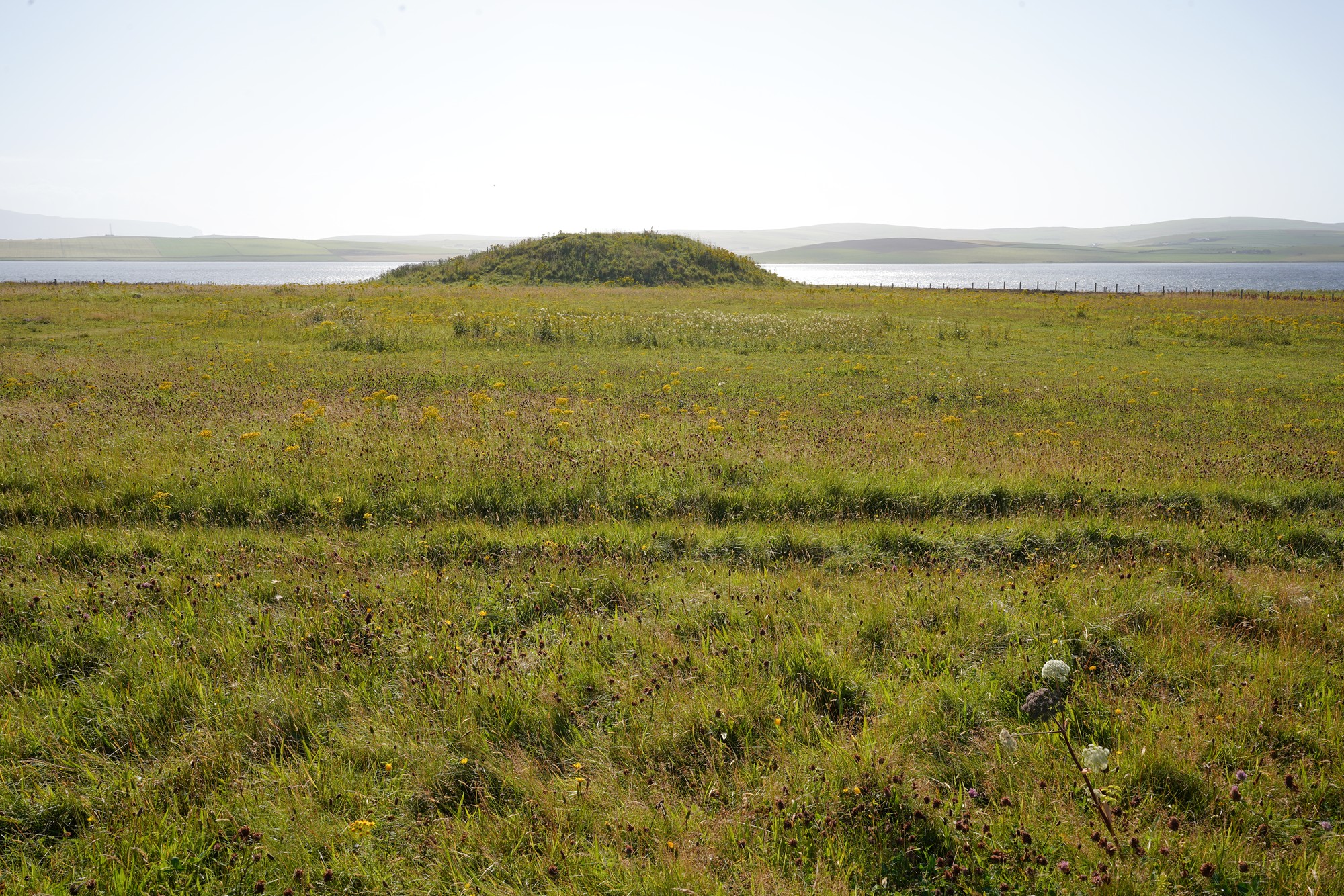
Another panoramic view from the other side
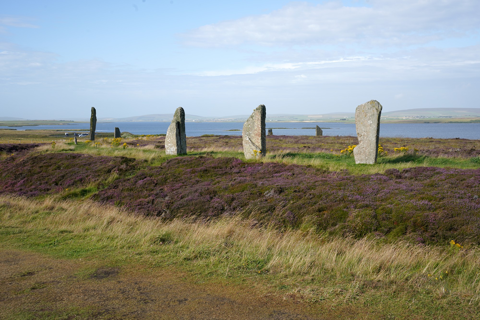
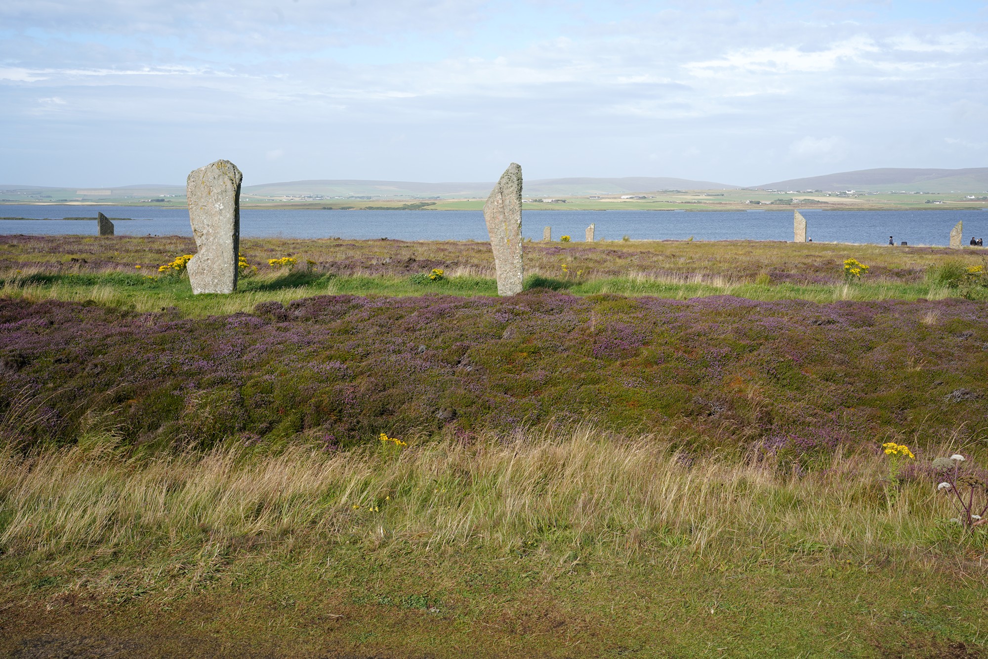
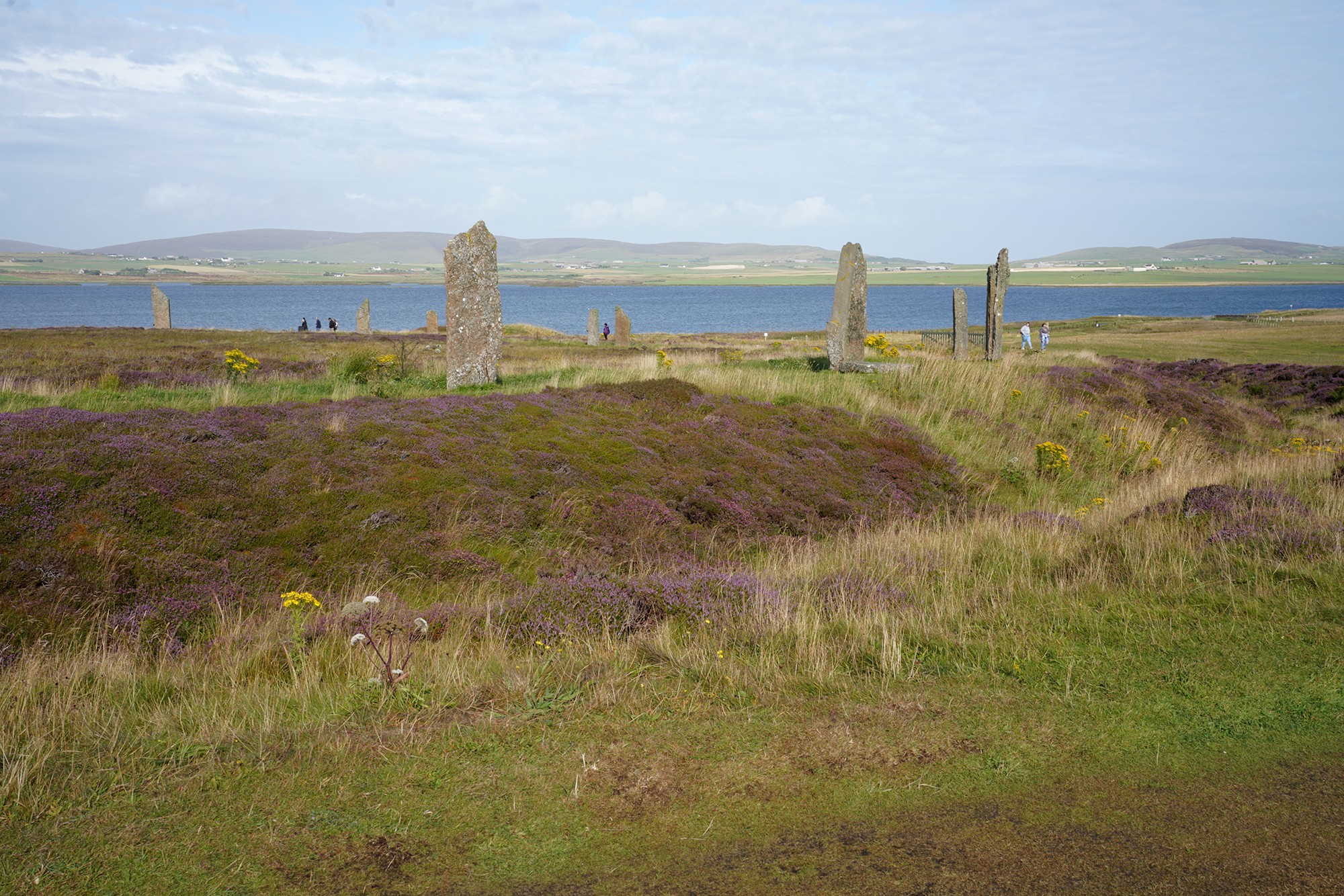
Looking back
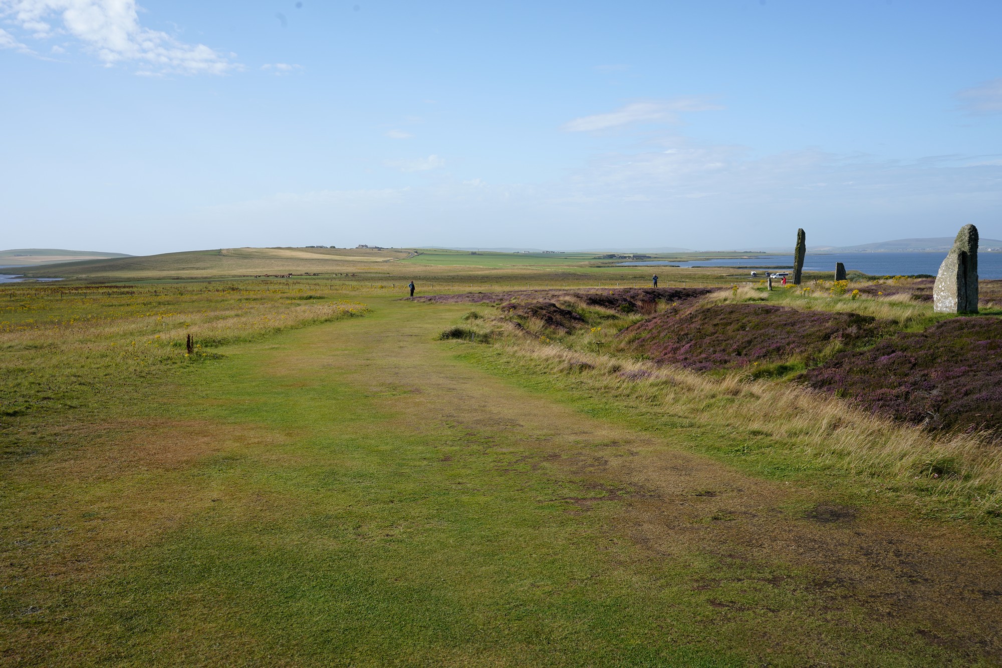
Various pictures of the site
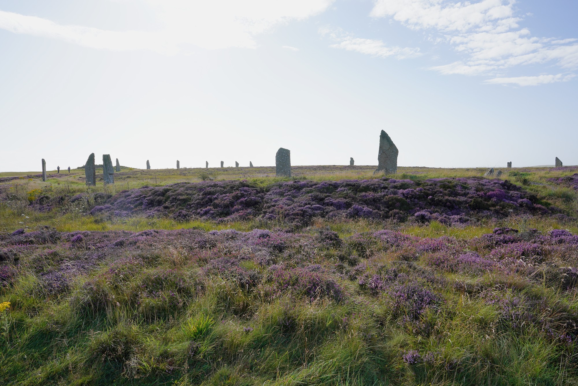
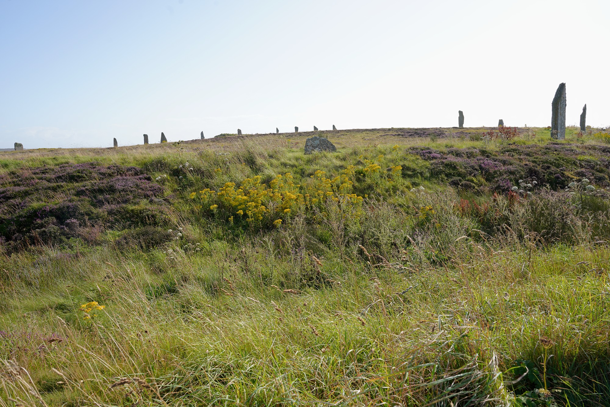
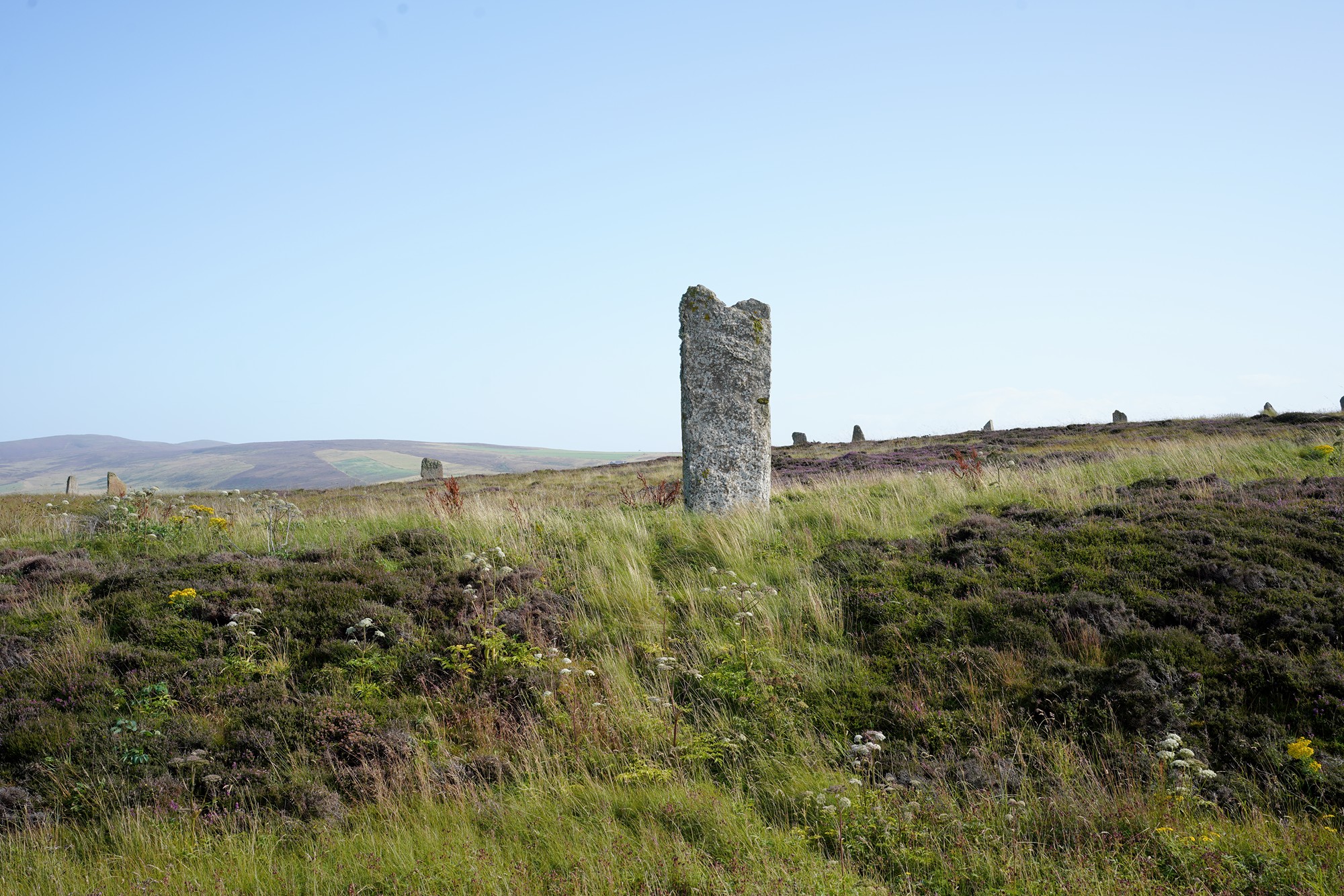
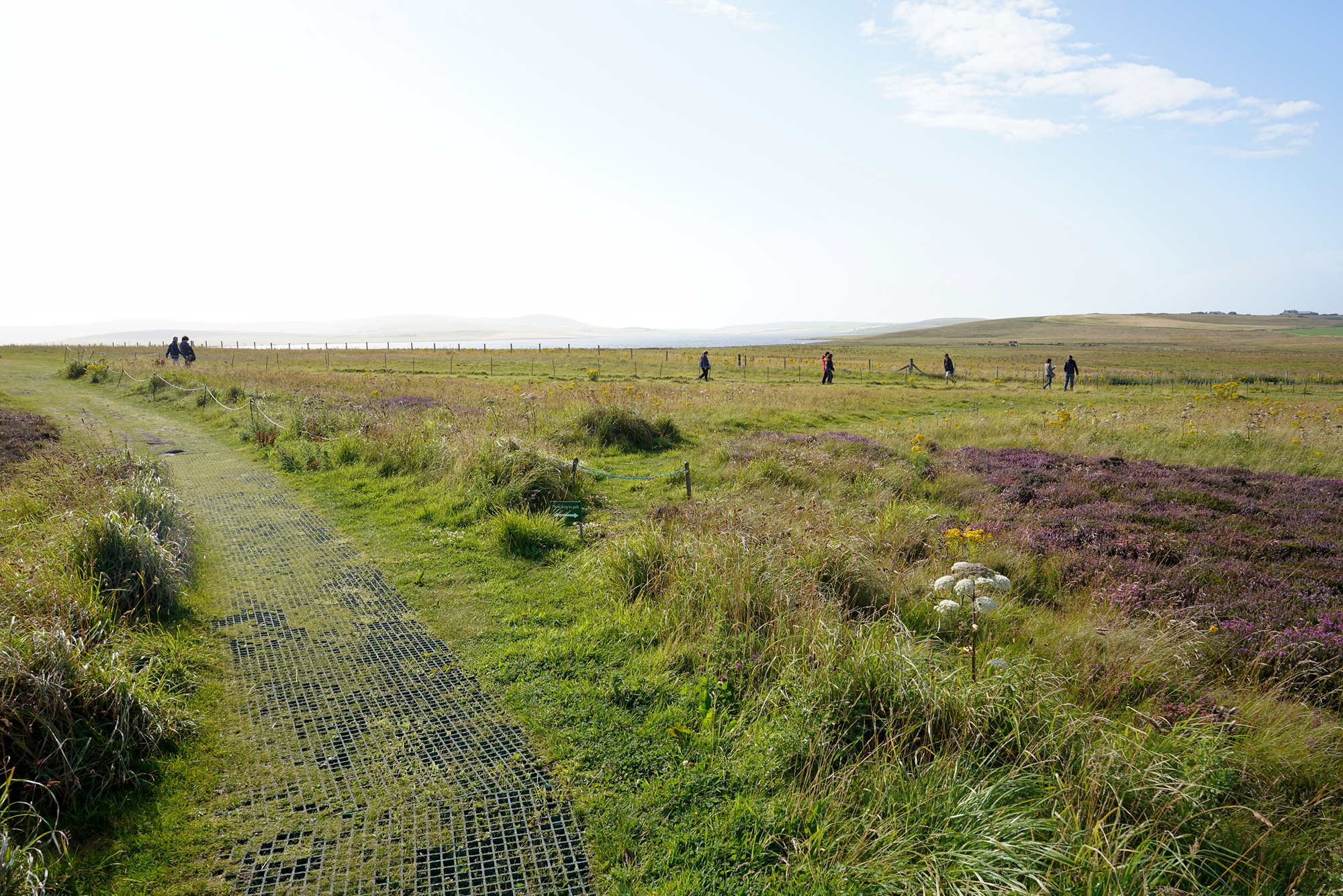
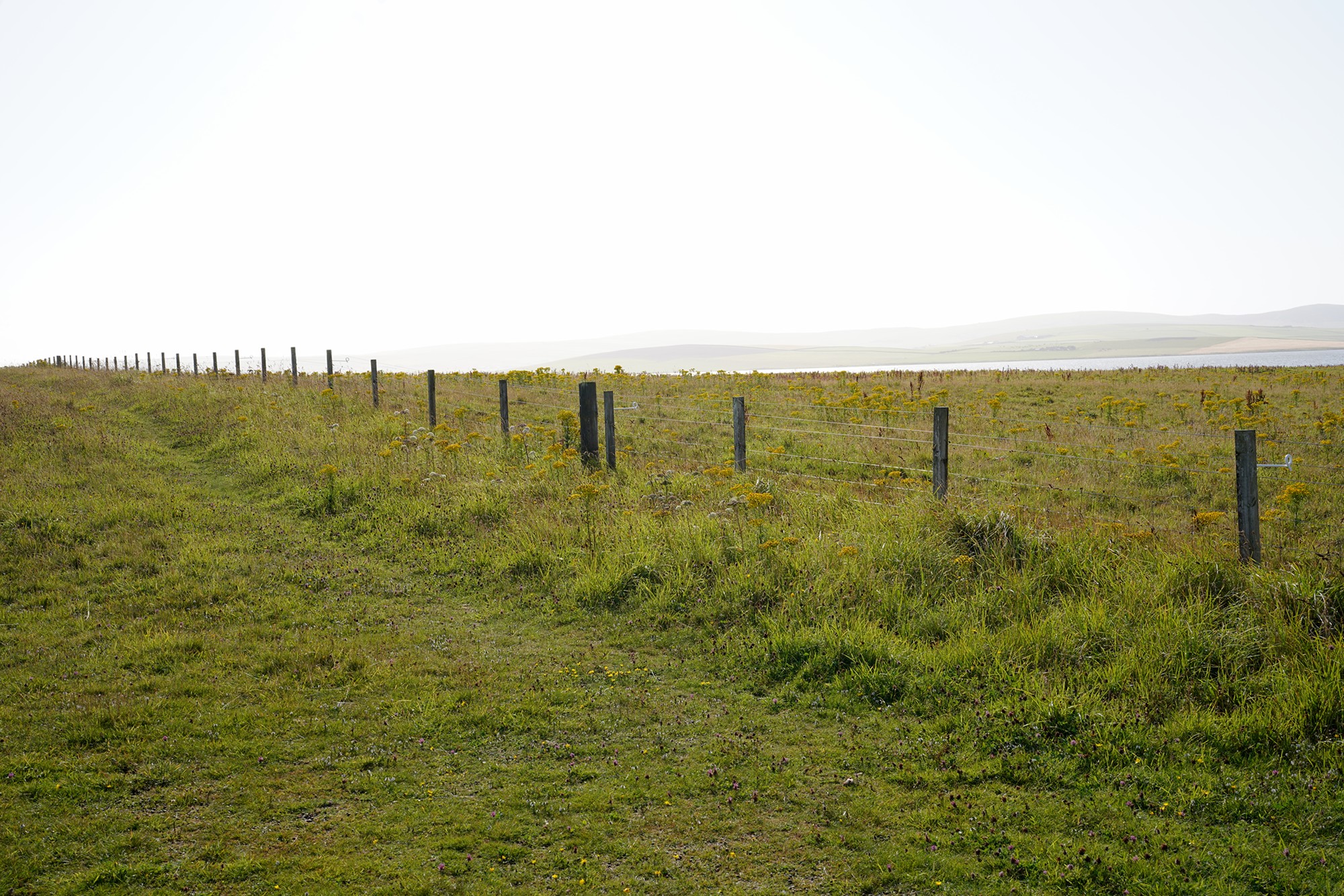
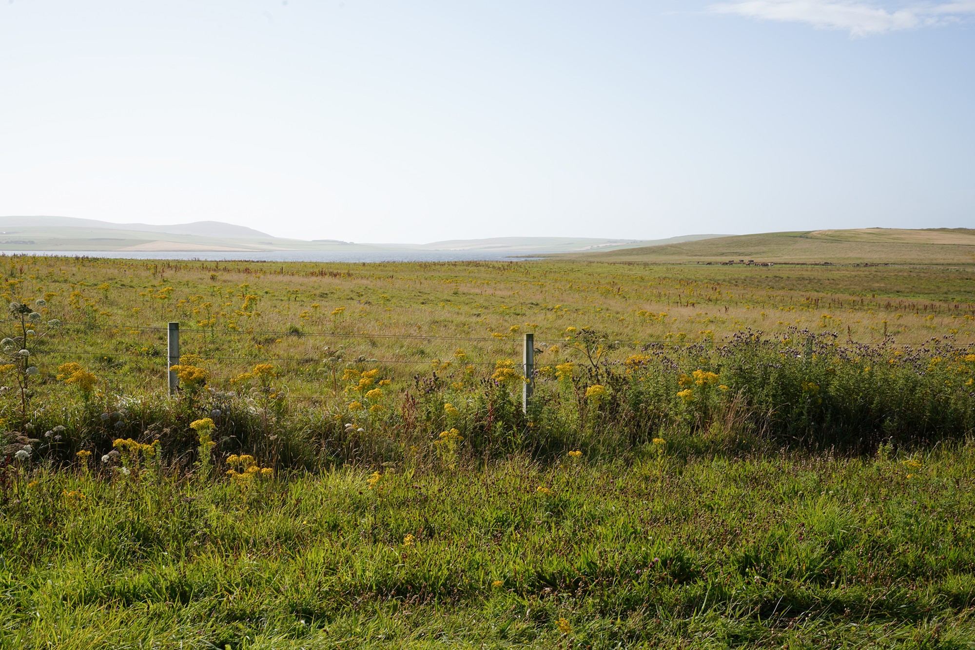
Walking back
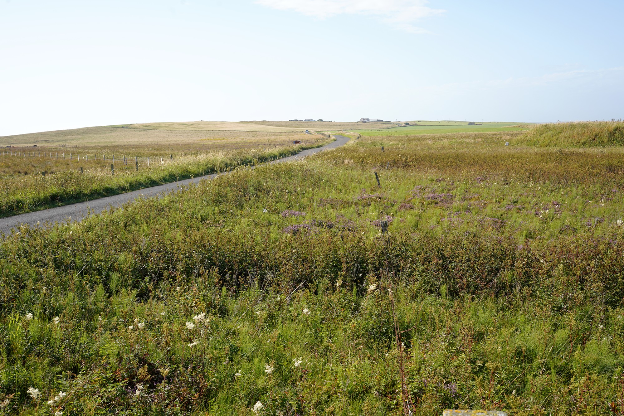
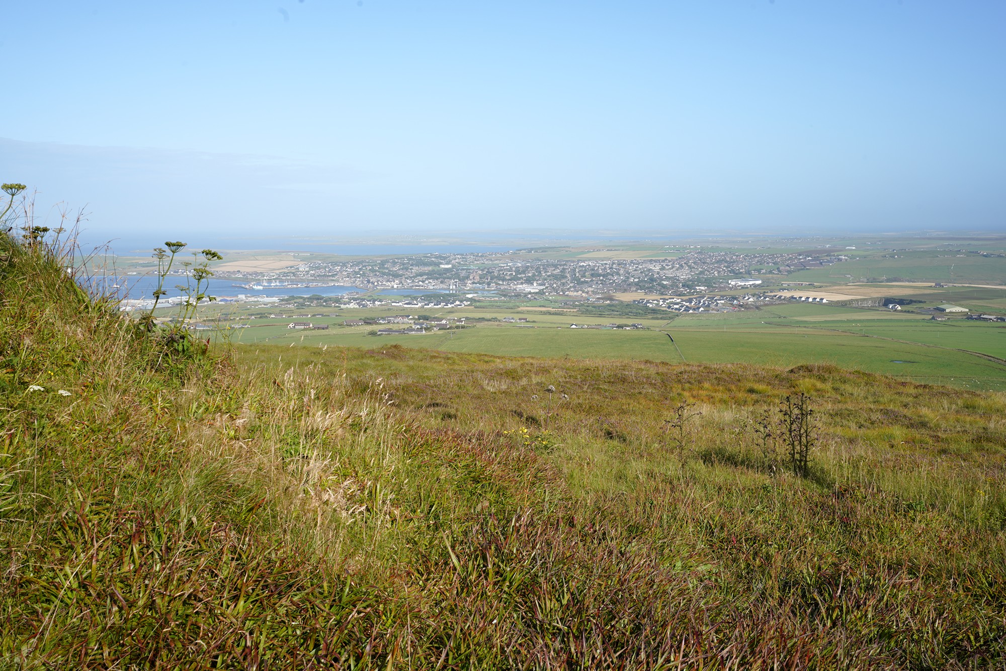
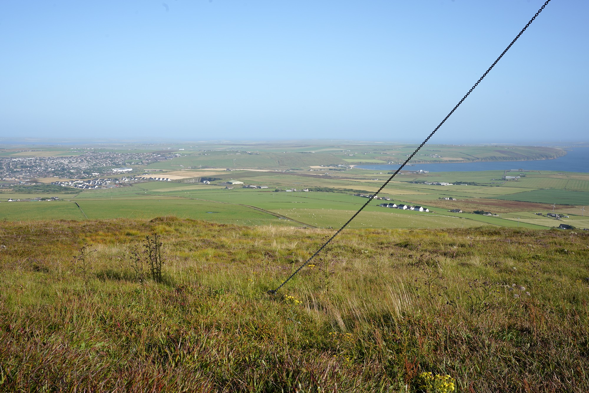
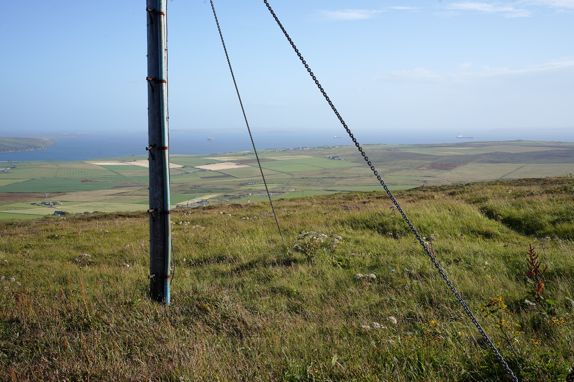
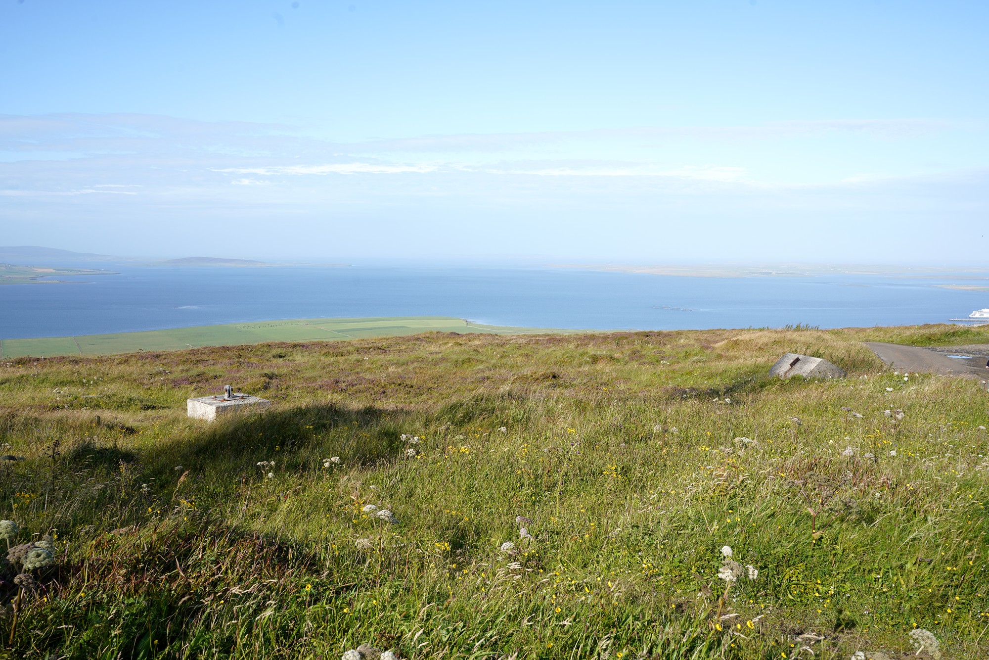
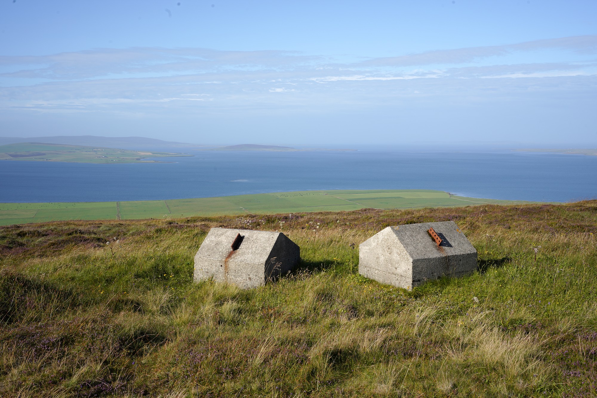
The final stop was Wideford Hill, where you can see 360 degrees below.
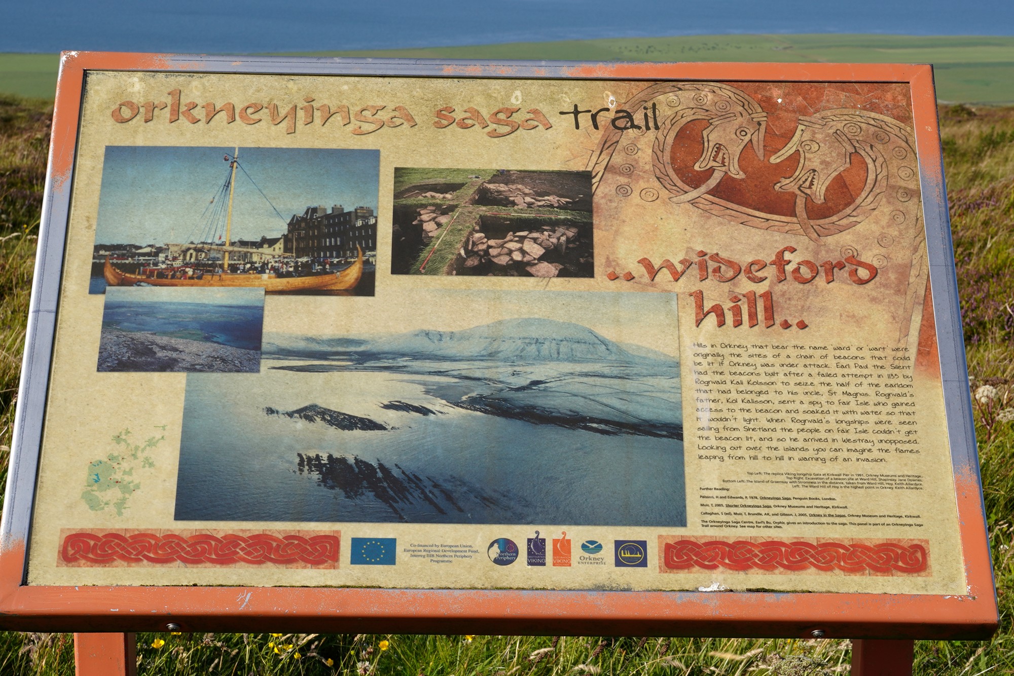
Panoramic view
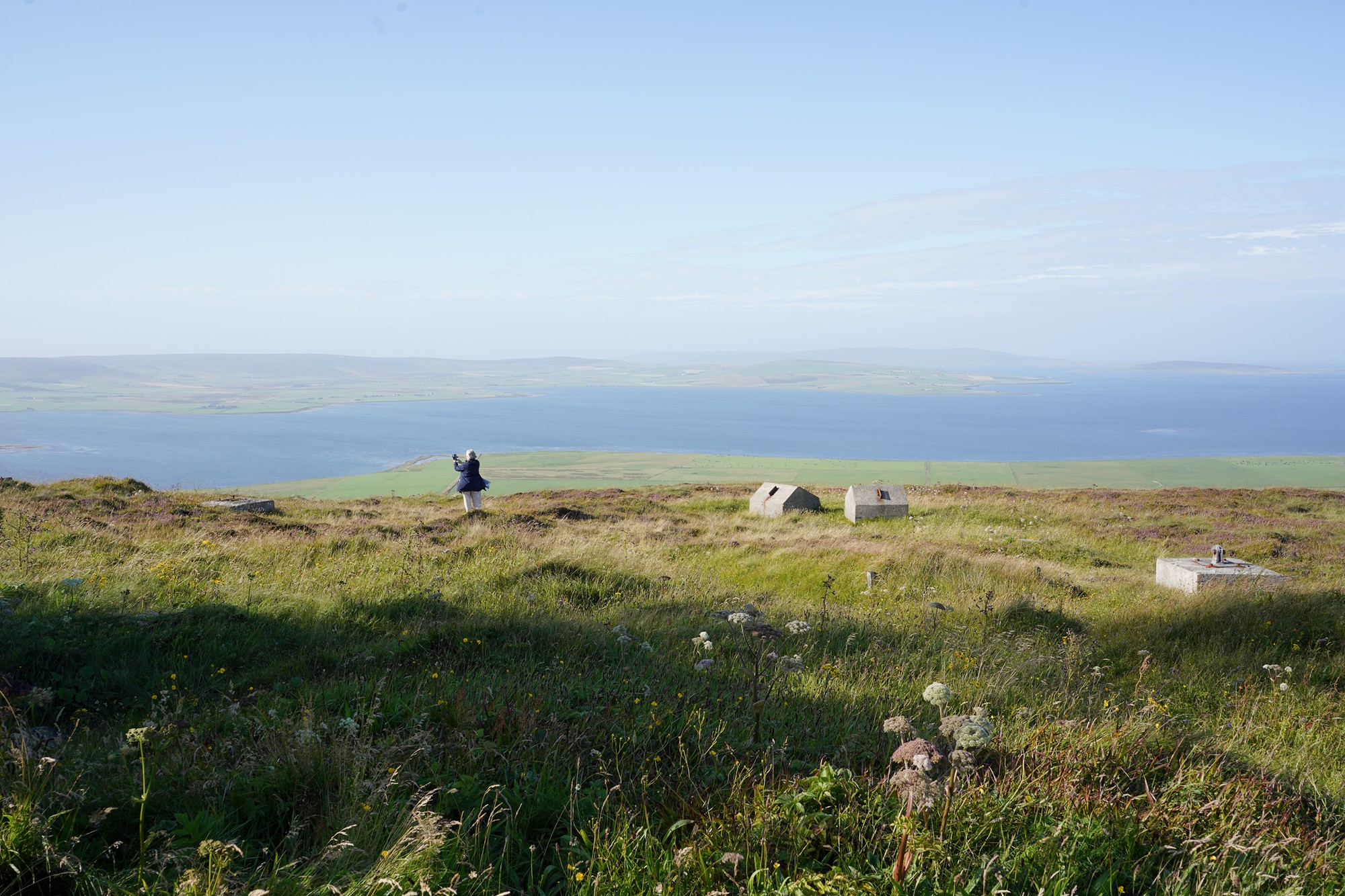
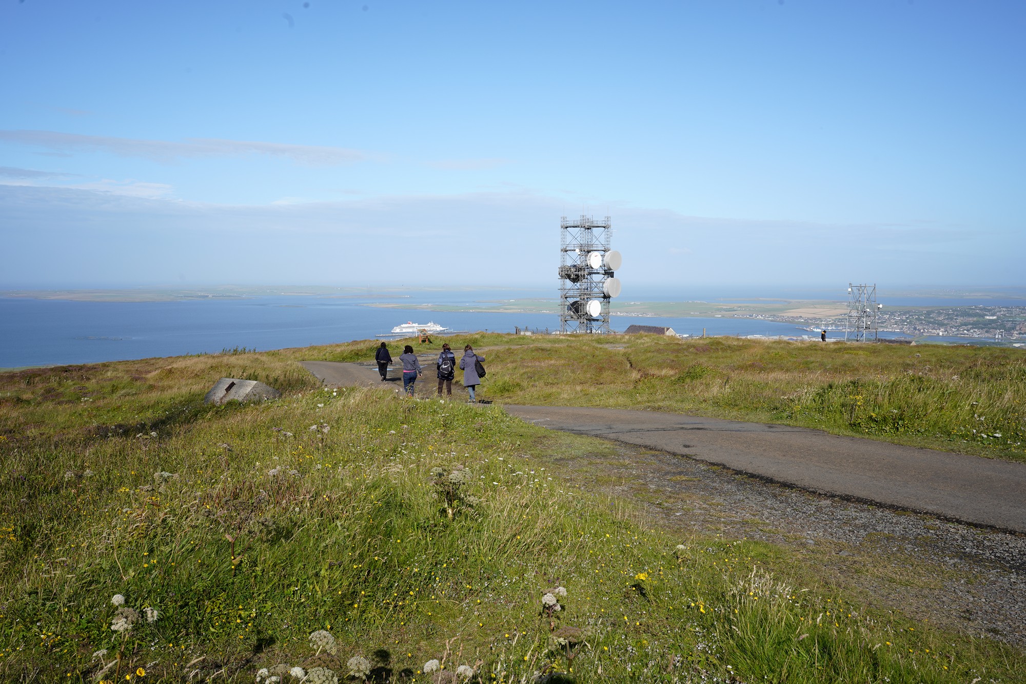
Another panoramic view of the same place
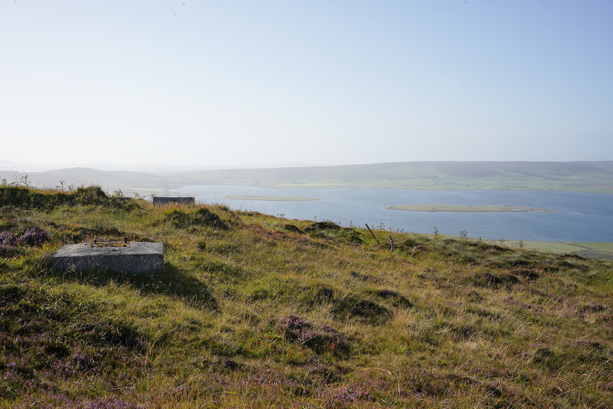
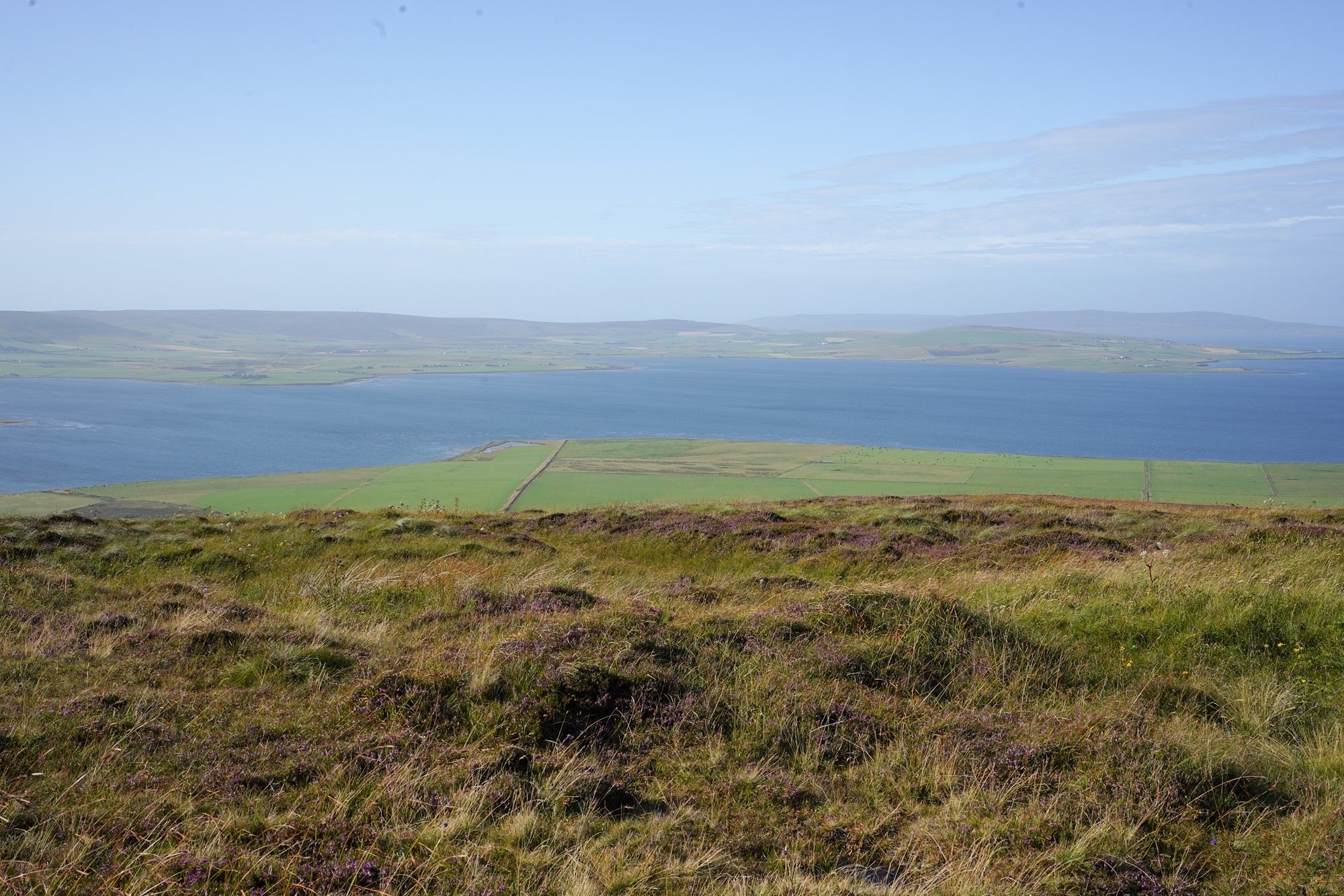
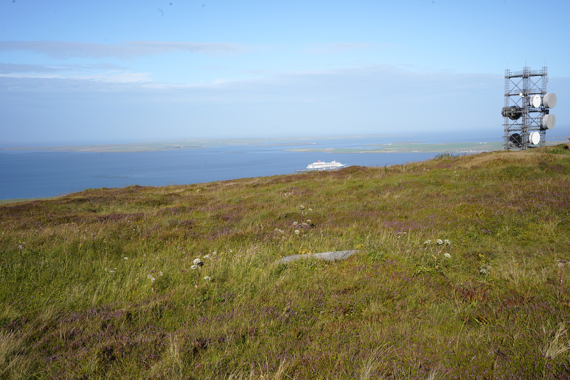
Panoramic view of the other side
