Hike Down to Lauterbrunnen, Switzerland
A scenic downhill hike from Wengen to Lauterbrunnen, descending through forests and mountain scenery into the beautiful Lauterbrunnen Valley below. 1333
Wengen Church: Im Gruebi, 3823 Wengen BE, Switzerland
Wengwald train station: 3823 Lauterbrunnen, Switzerland
Reformed church of Lauterbrunnen: 3822 Lauterbrunnen, Switzerland
Staubbach Falls: 3825 Lauterbrunnen, Switzerland
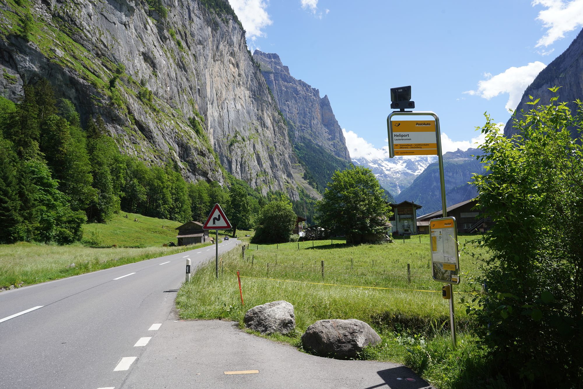
Lauterbrunnen, Heliport Bus Stop: 3822 Lauterbrunnen, Switzerland
Date Picture Taken: Jun, 2026
From Wengen, I hiked downhill toward Lauterbrunnen, following a trail through forests and the beautiful mountain landscape. As I descended, views opened toward the dramatic Lauterbrunnen Valley, surrounded by steep cliffs and waterfalls. The walk offered a different perspective of the valley before I finally reached Lauterbrunnen below.
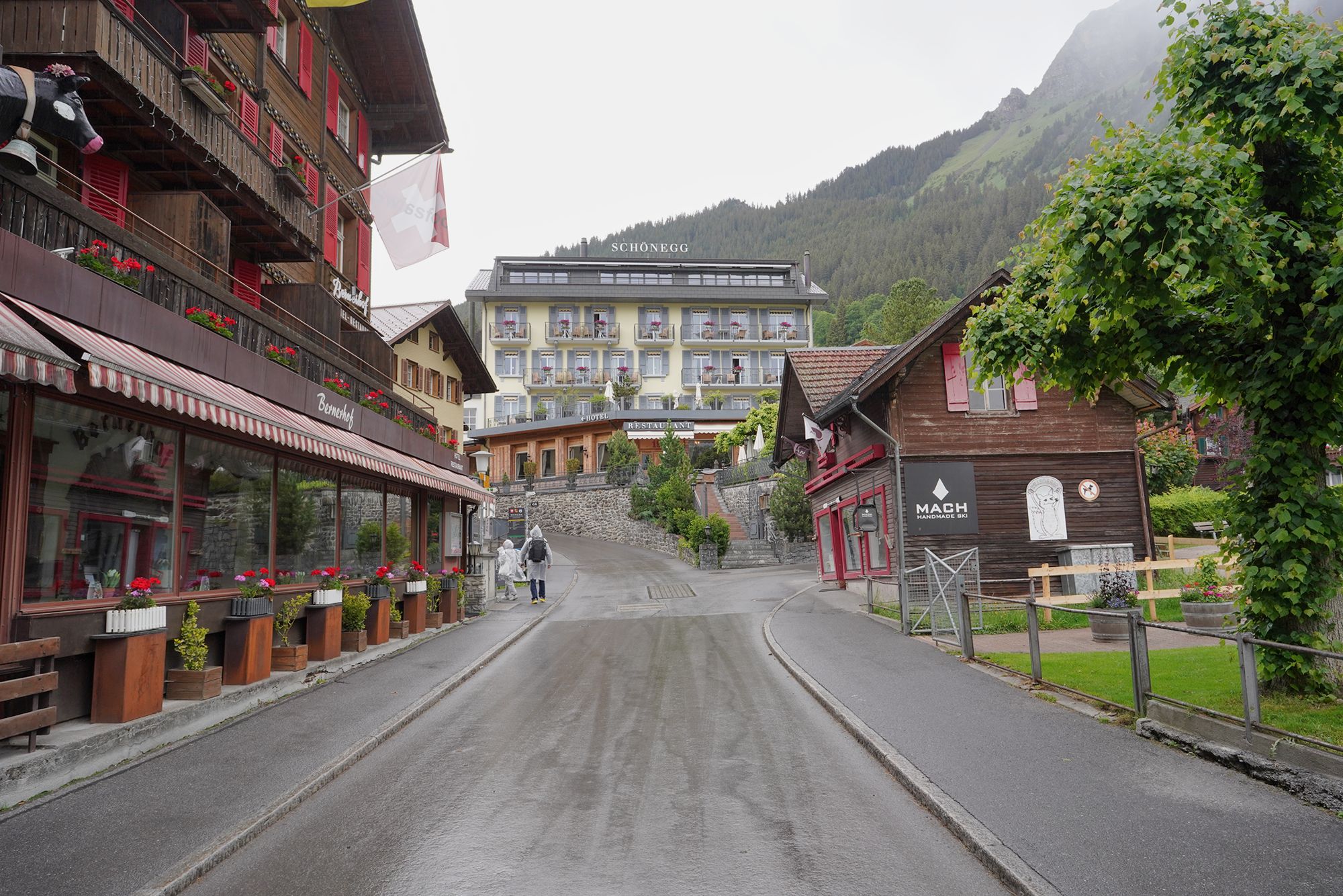
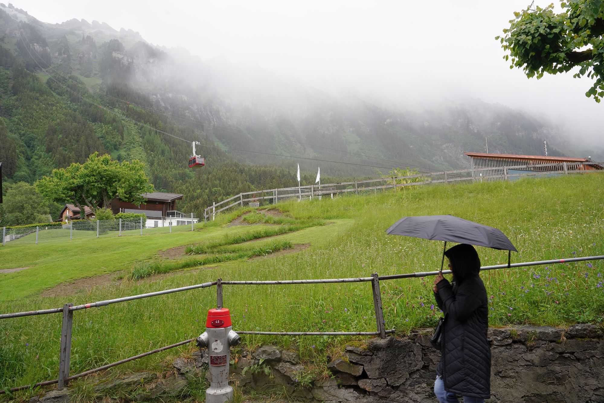
The walk started from Wengen and was described as “easy” in travel guides, but I did not find it easy. The beginning and end followed paved roads and were comfortable, but the middle section was steep and unpaved. Proper hiking shoes would have been helpful, and I would not recommend this trail for a casual traveler expecting an easy walk.
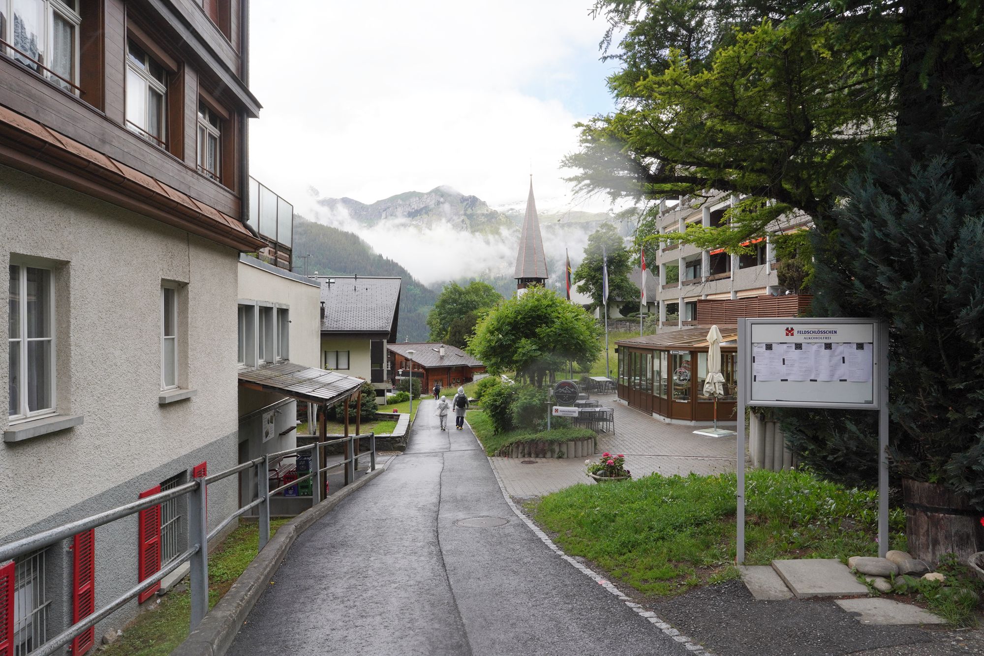
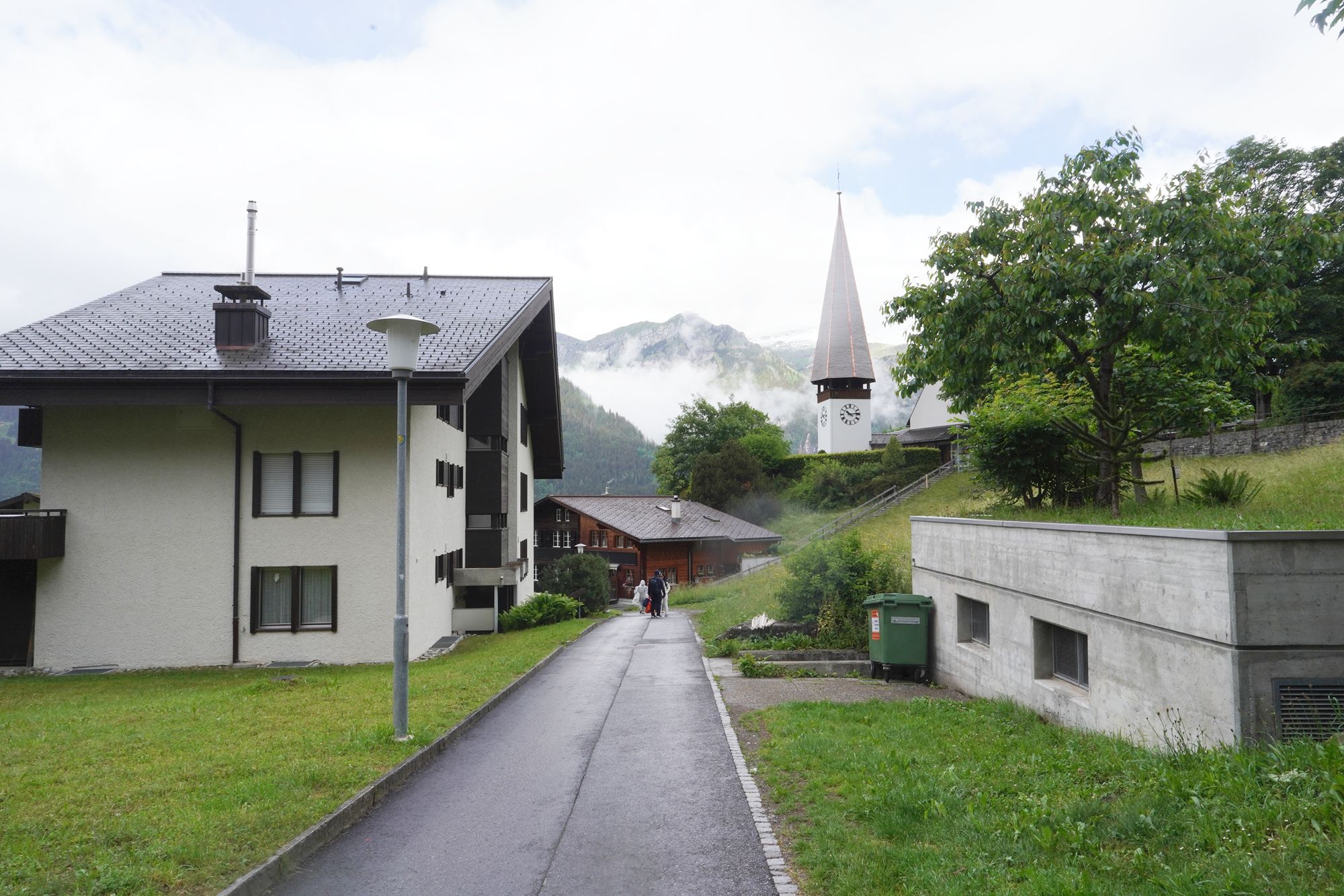
As I started my hike down from Wengen toward Lauterbrunnen, I passed Wengen Church, with its distinctive clock tower and pointed spire against the surrounding mountains.
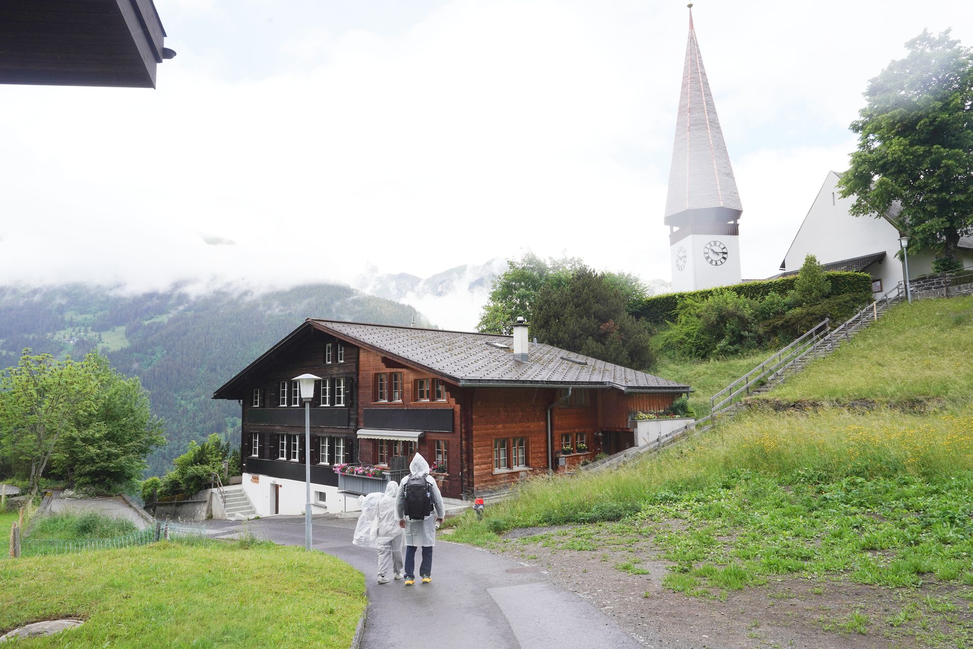
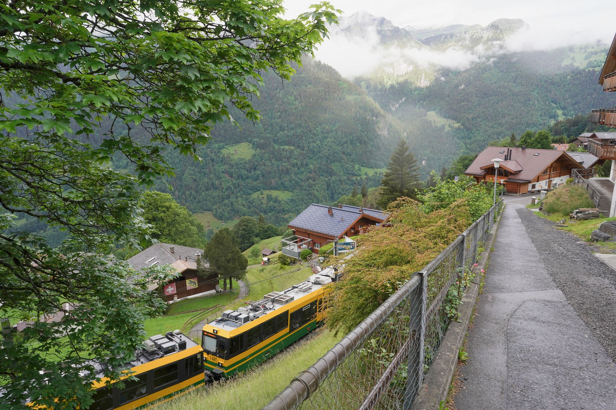
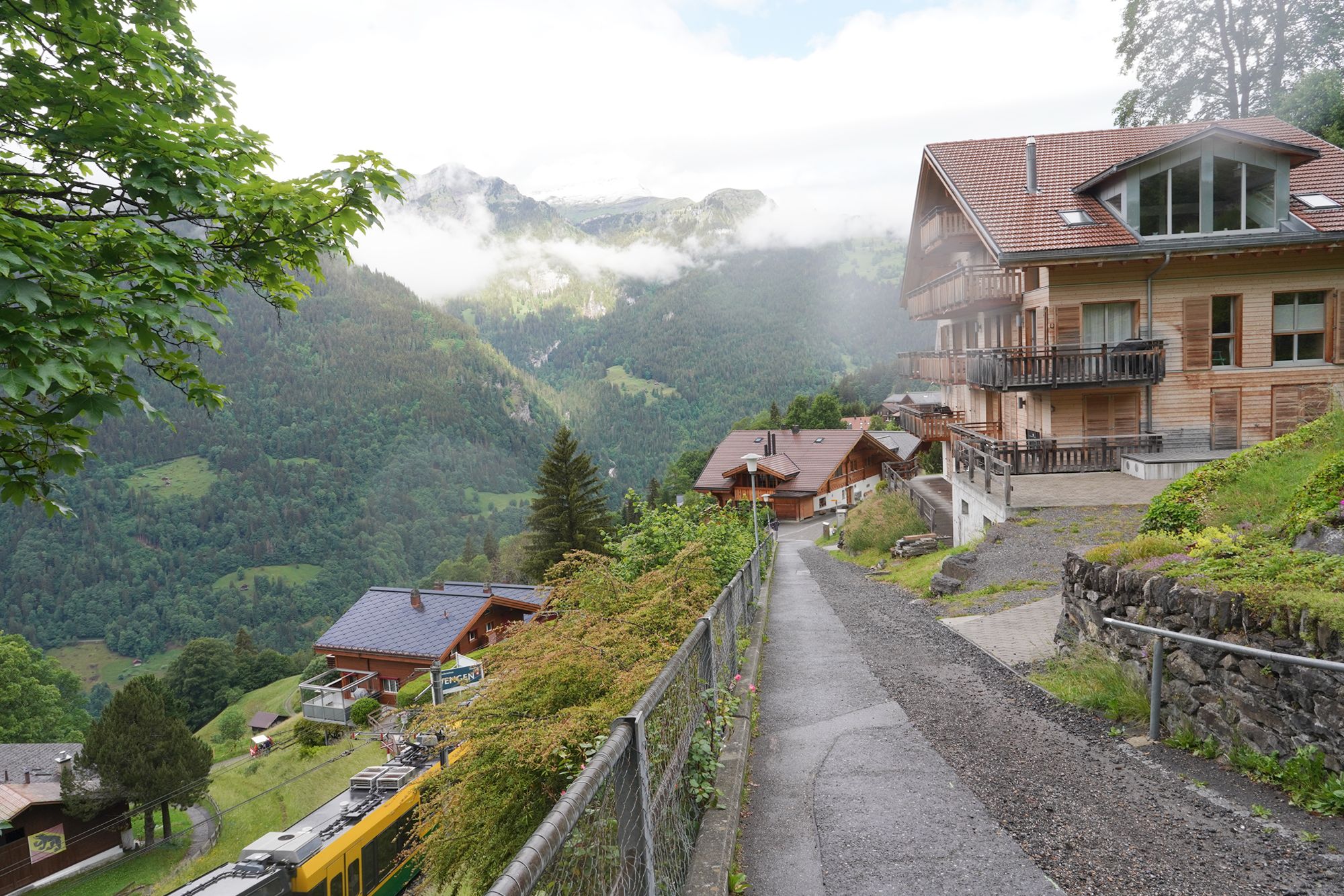
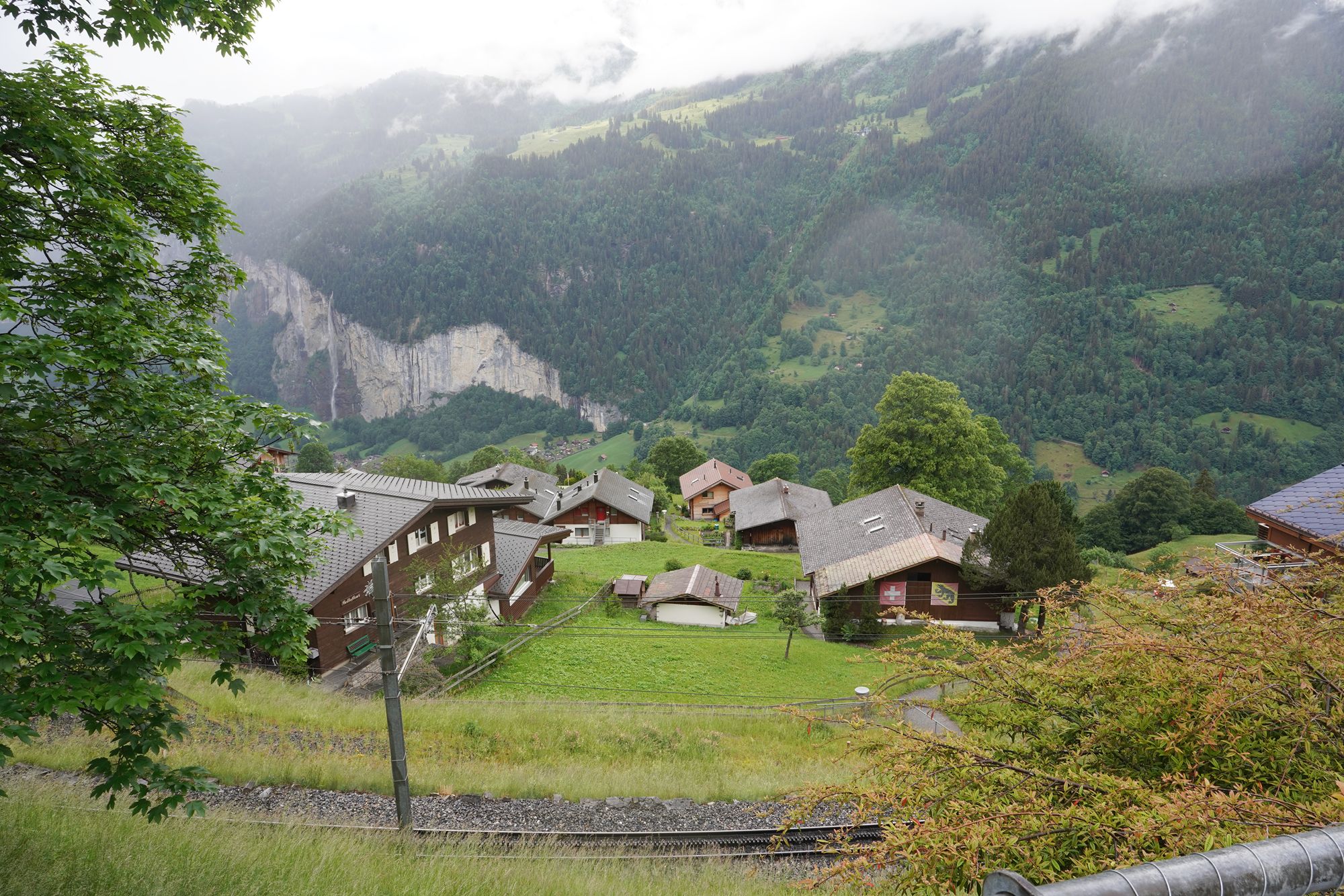
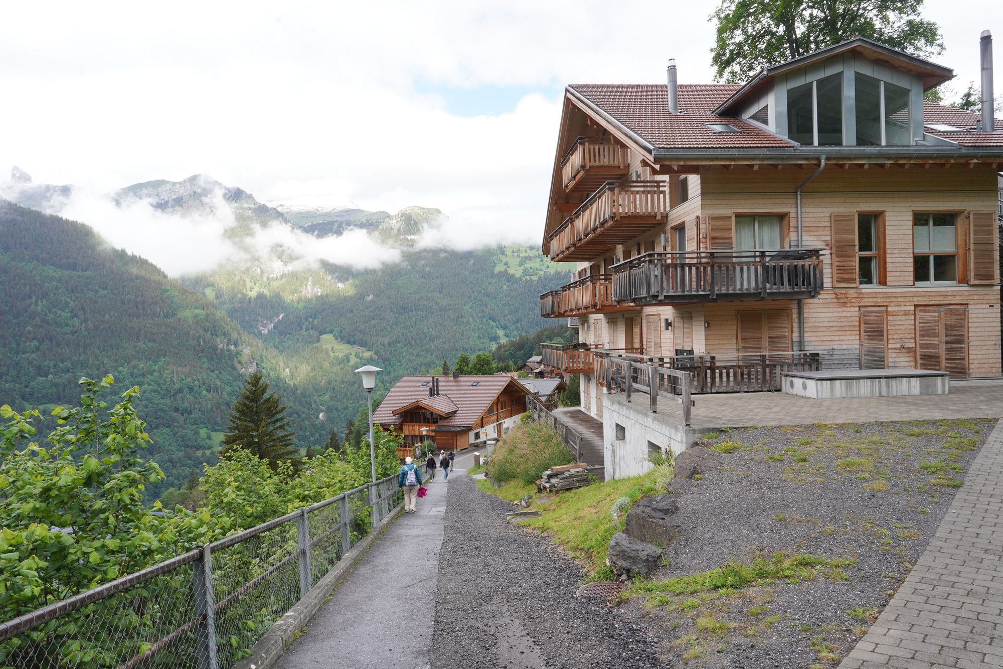
As I began descending from Wengen, I could see the Lauterbrunnen Valley far below, surrounded by steep mountains and dramatic cliffs.
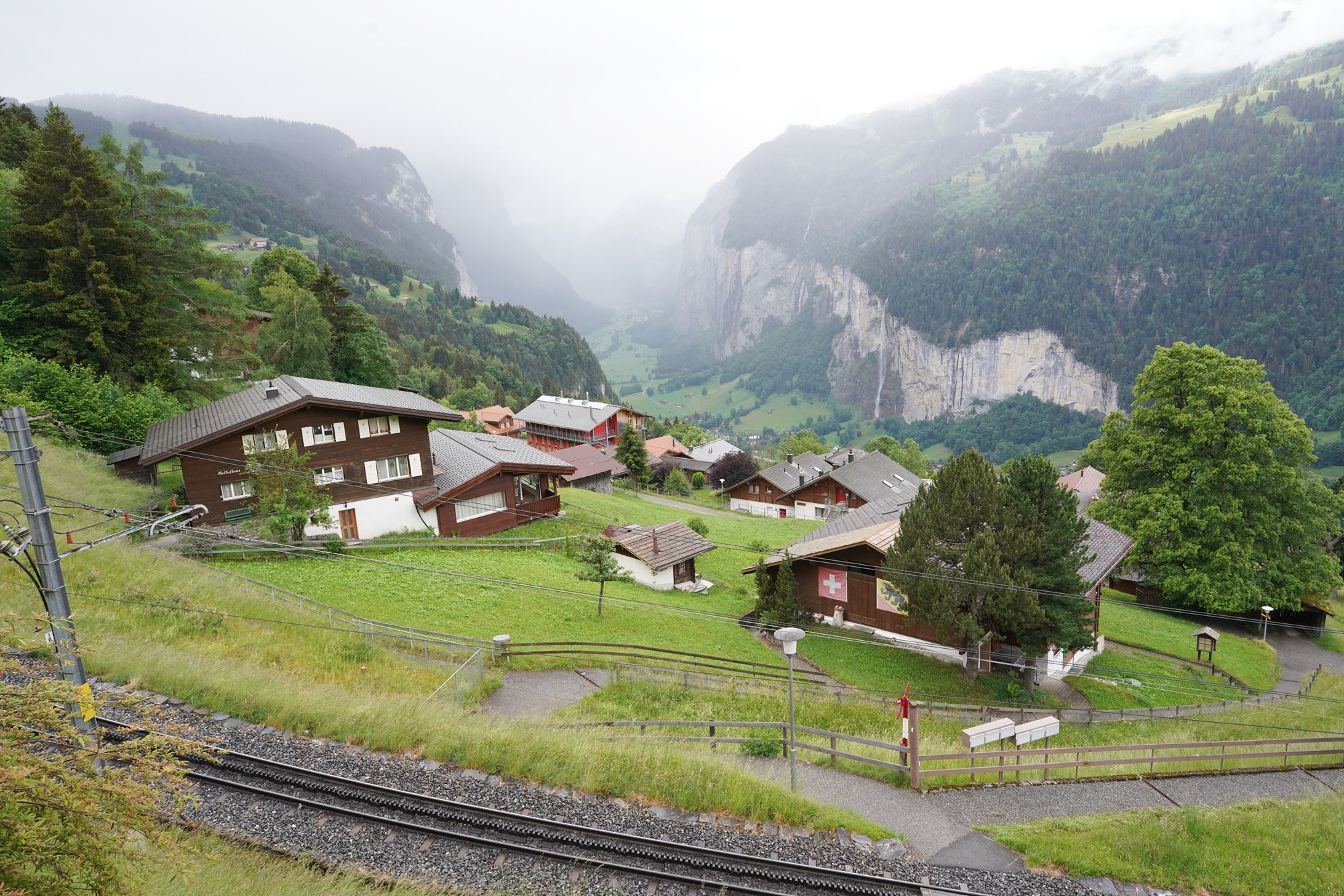
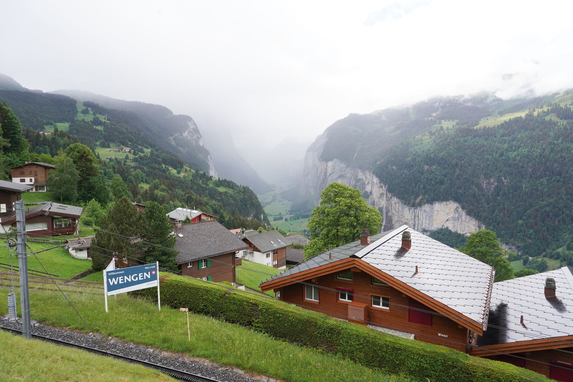
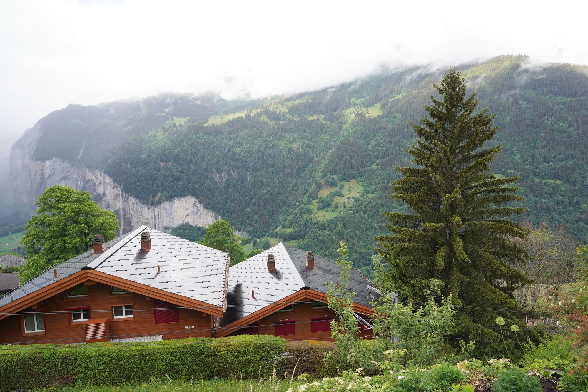
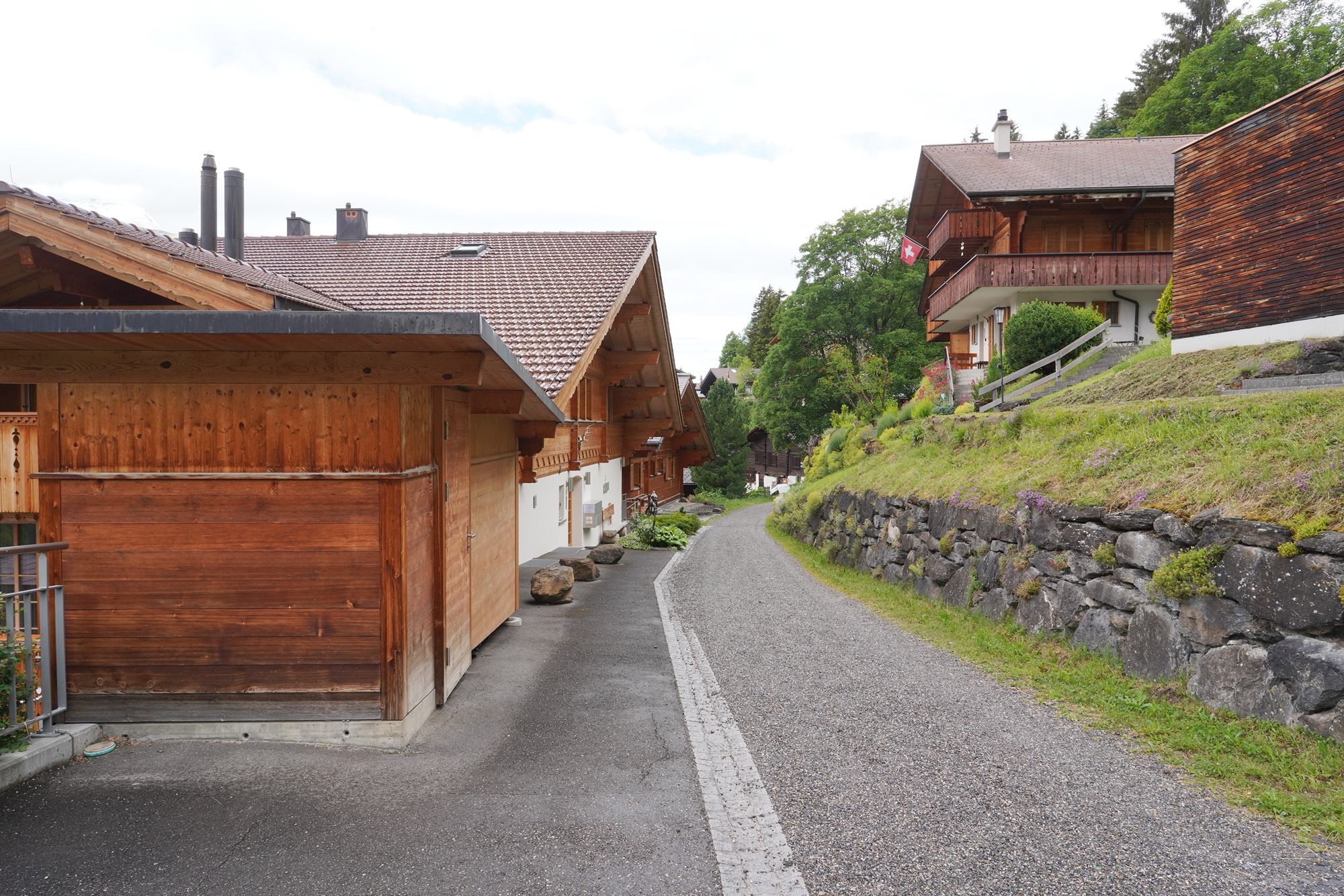
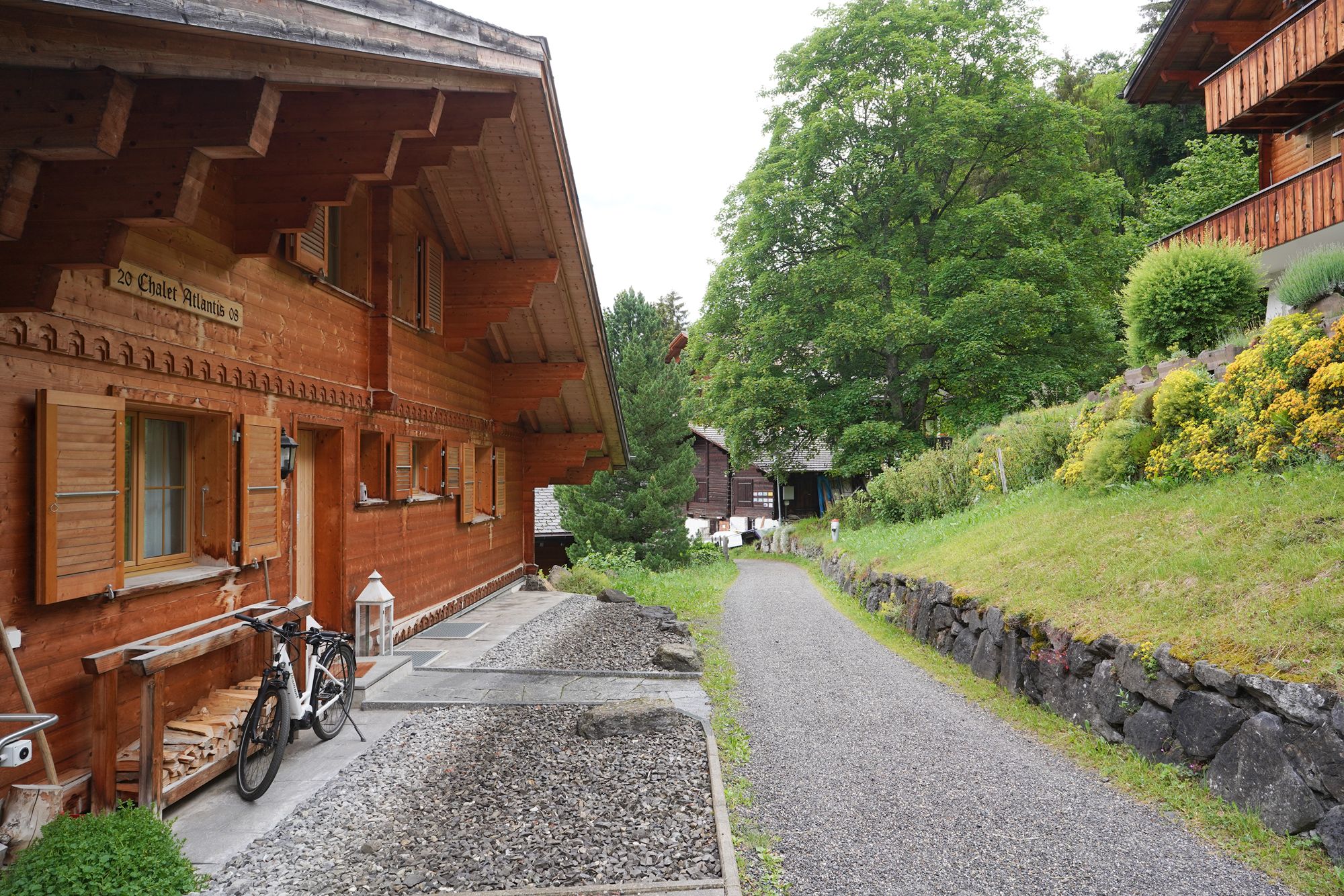
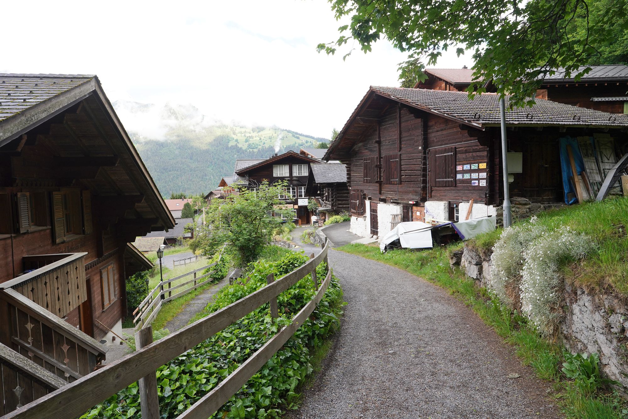
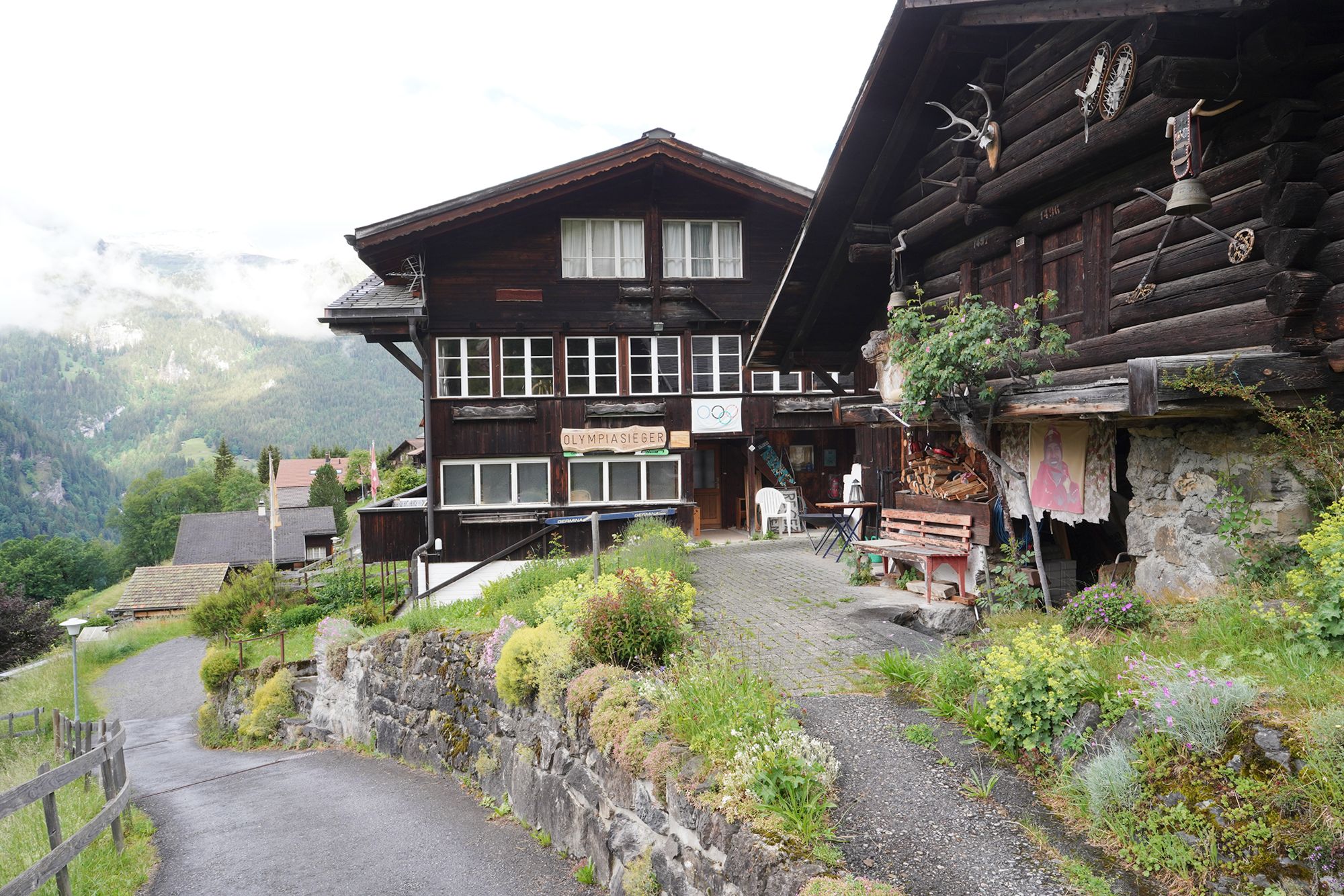
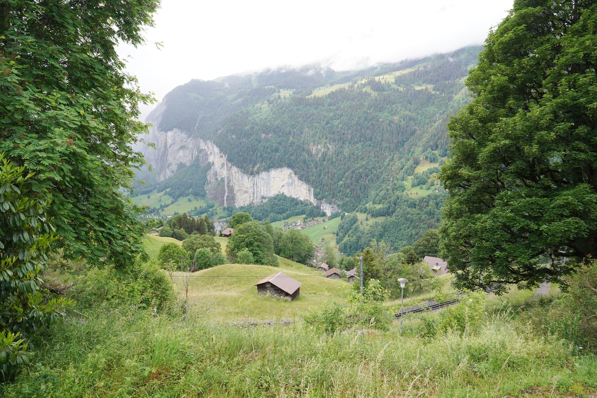
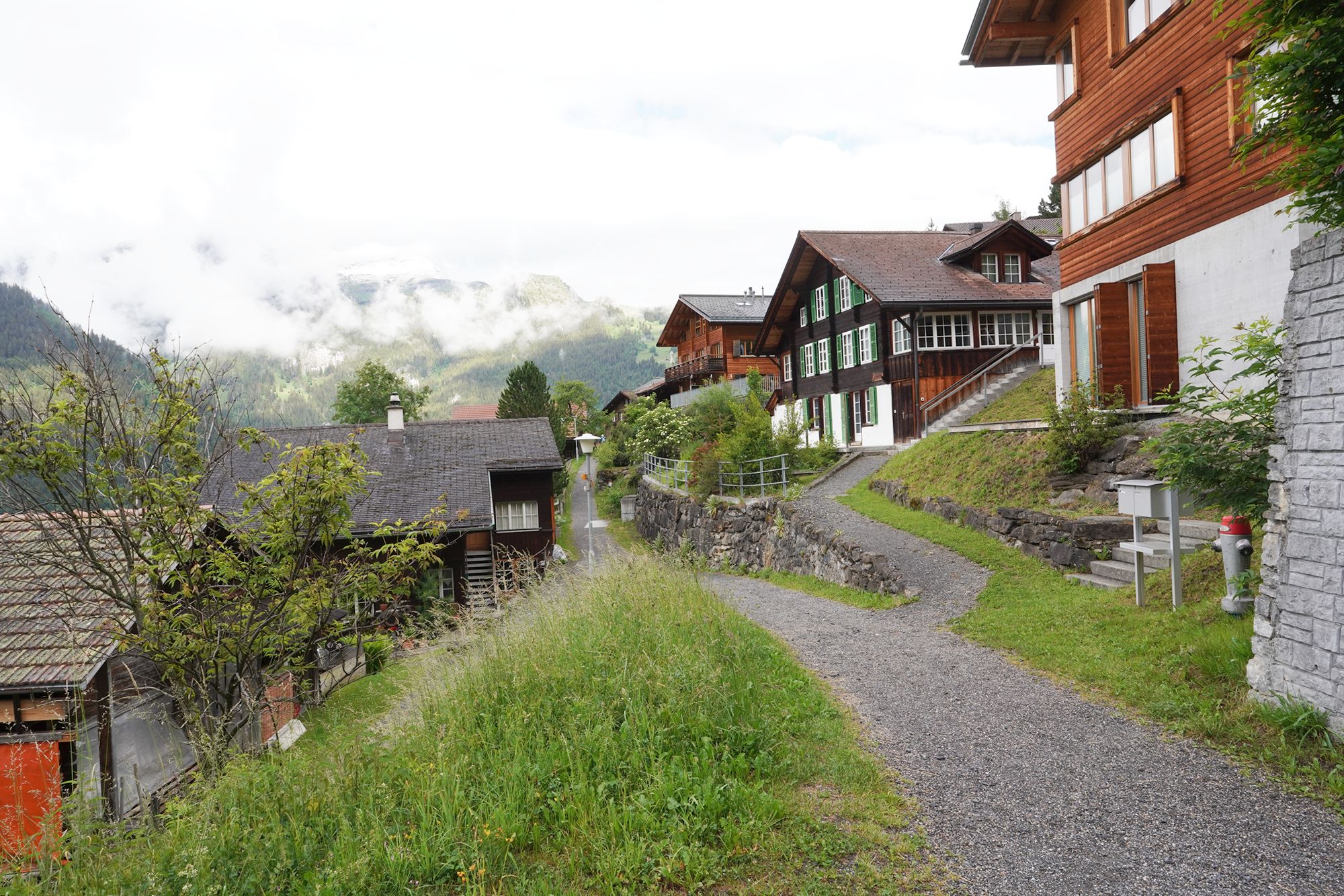
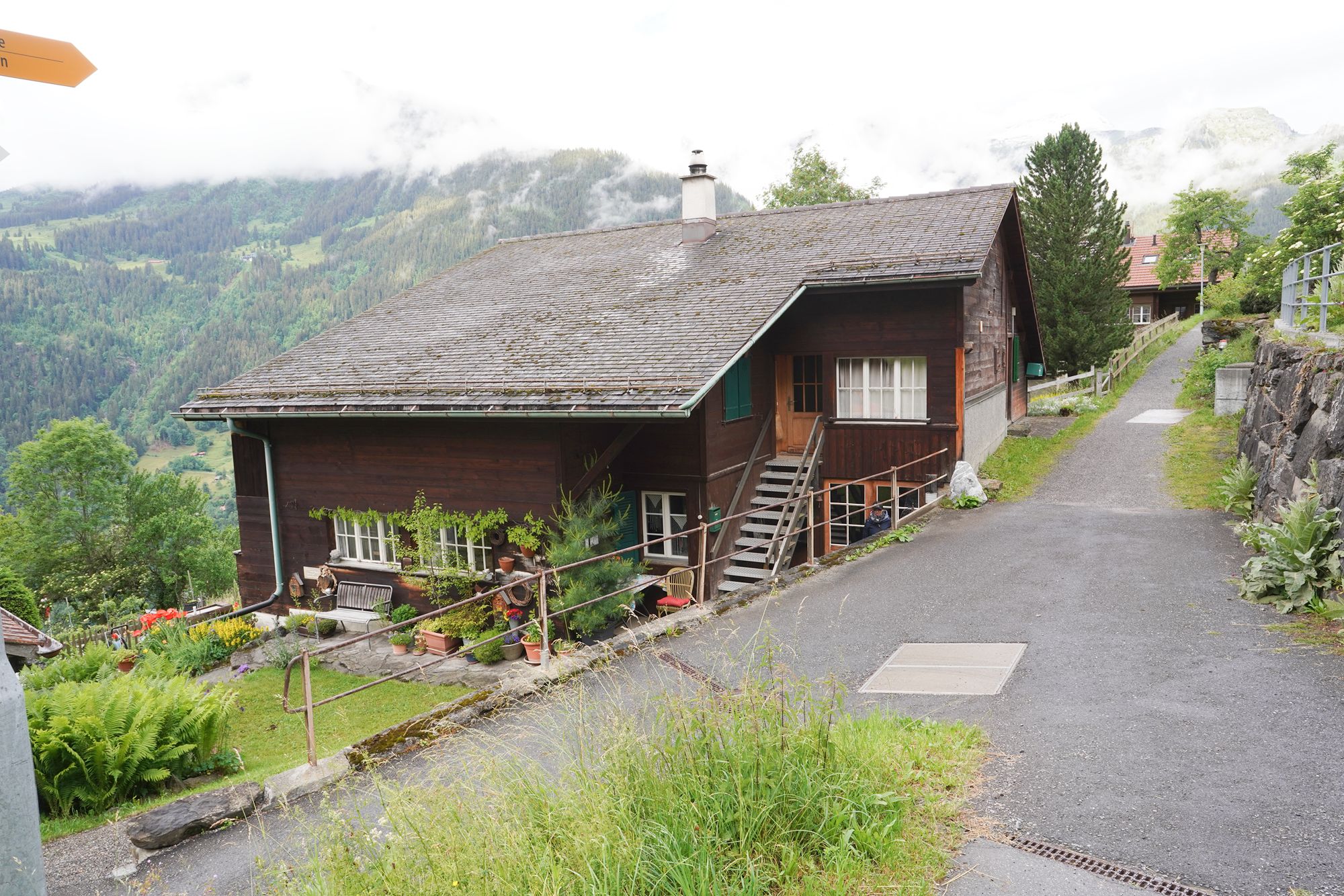
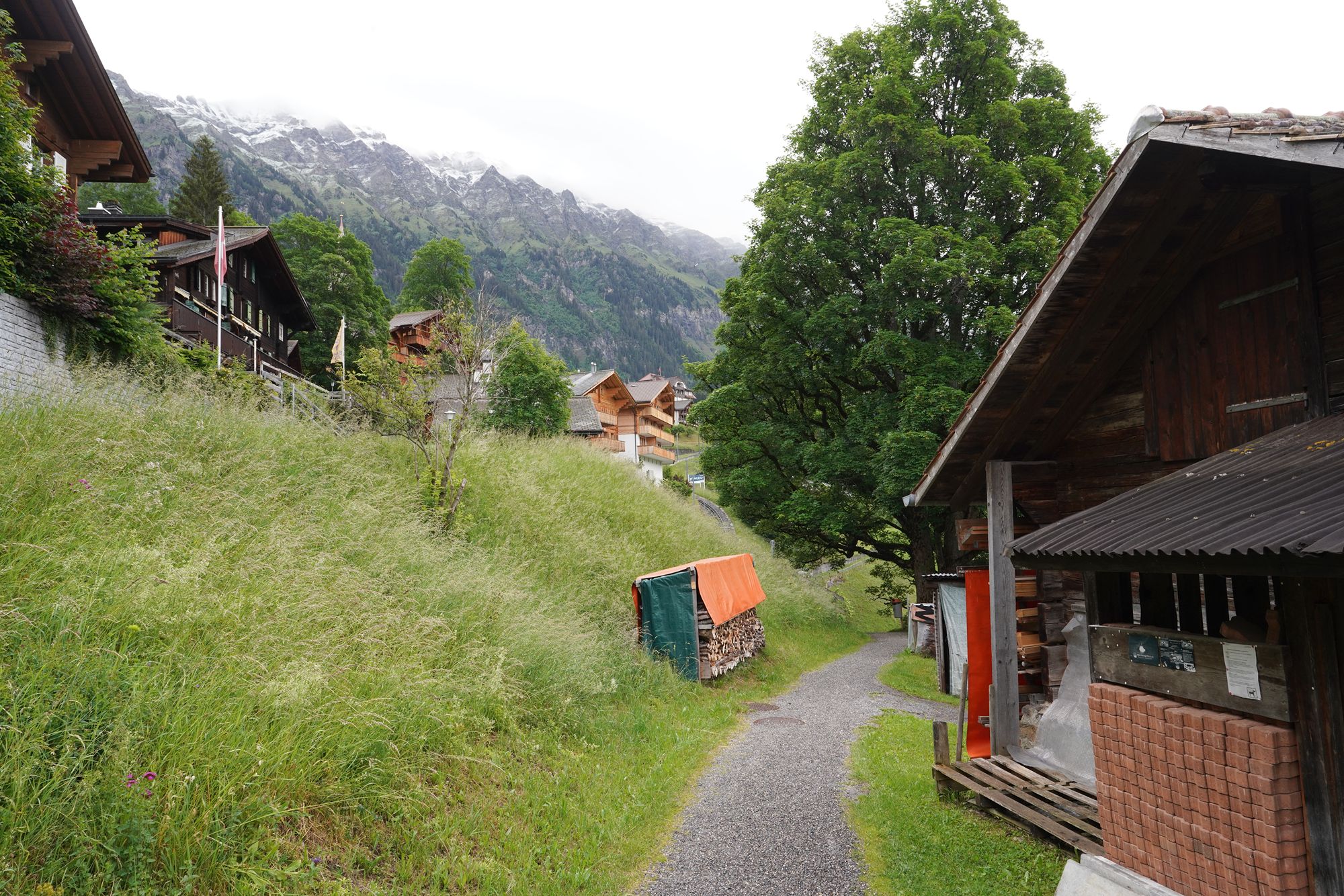
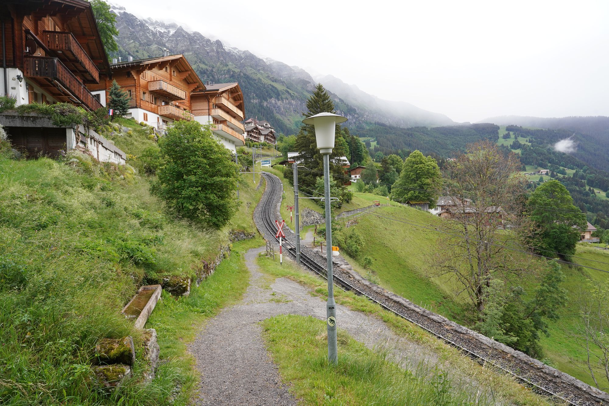
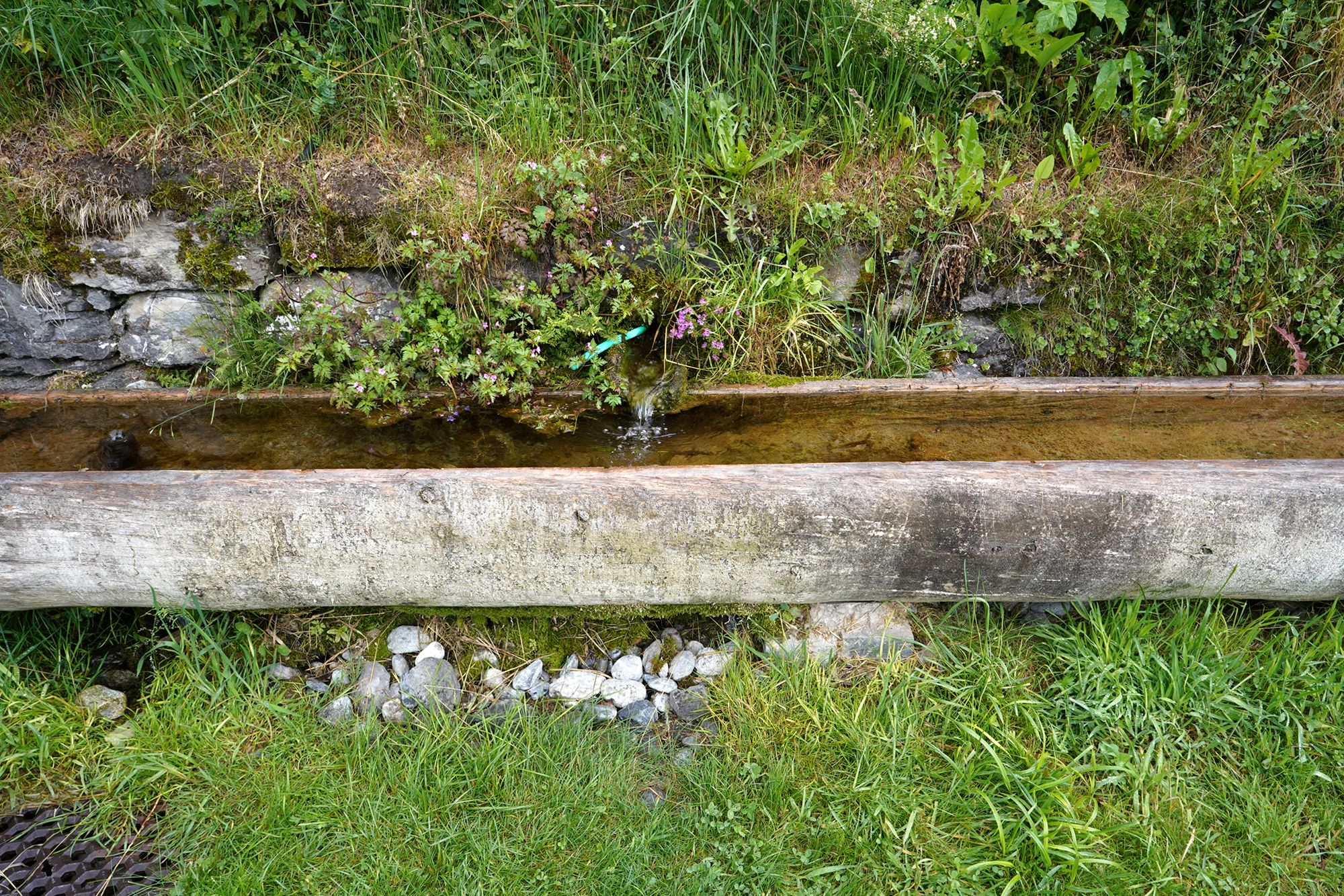
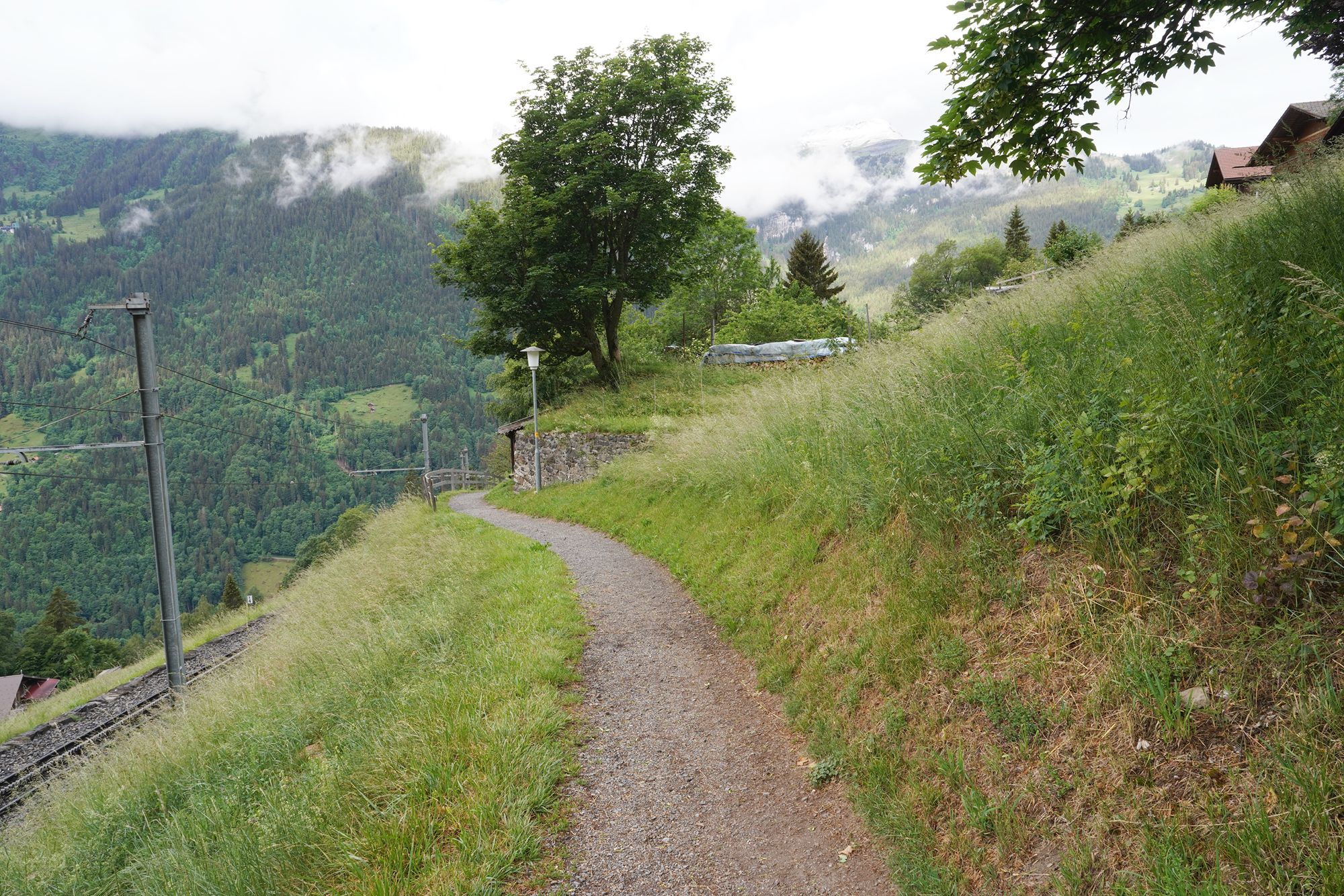
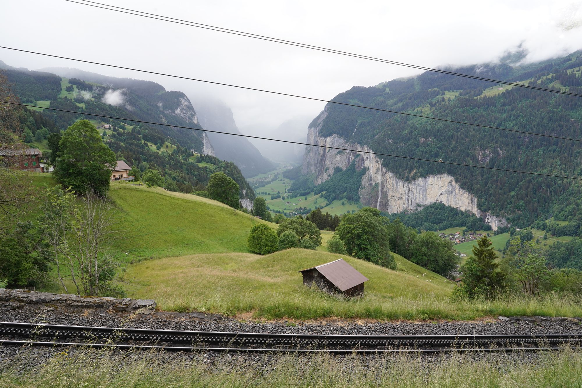
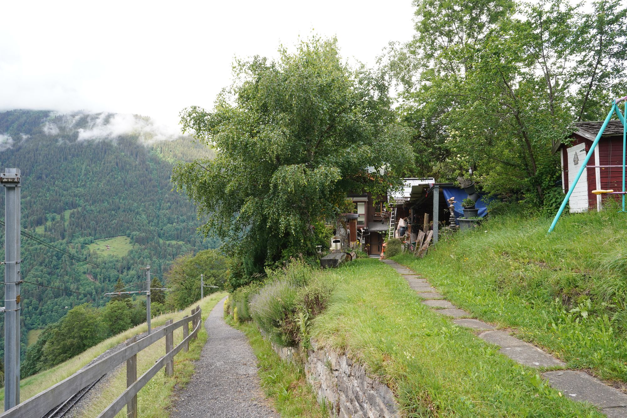
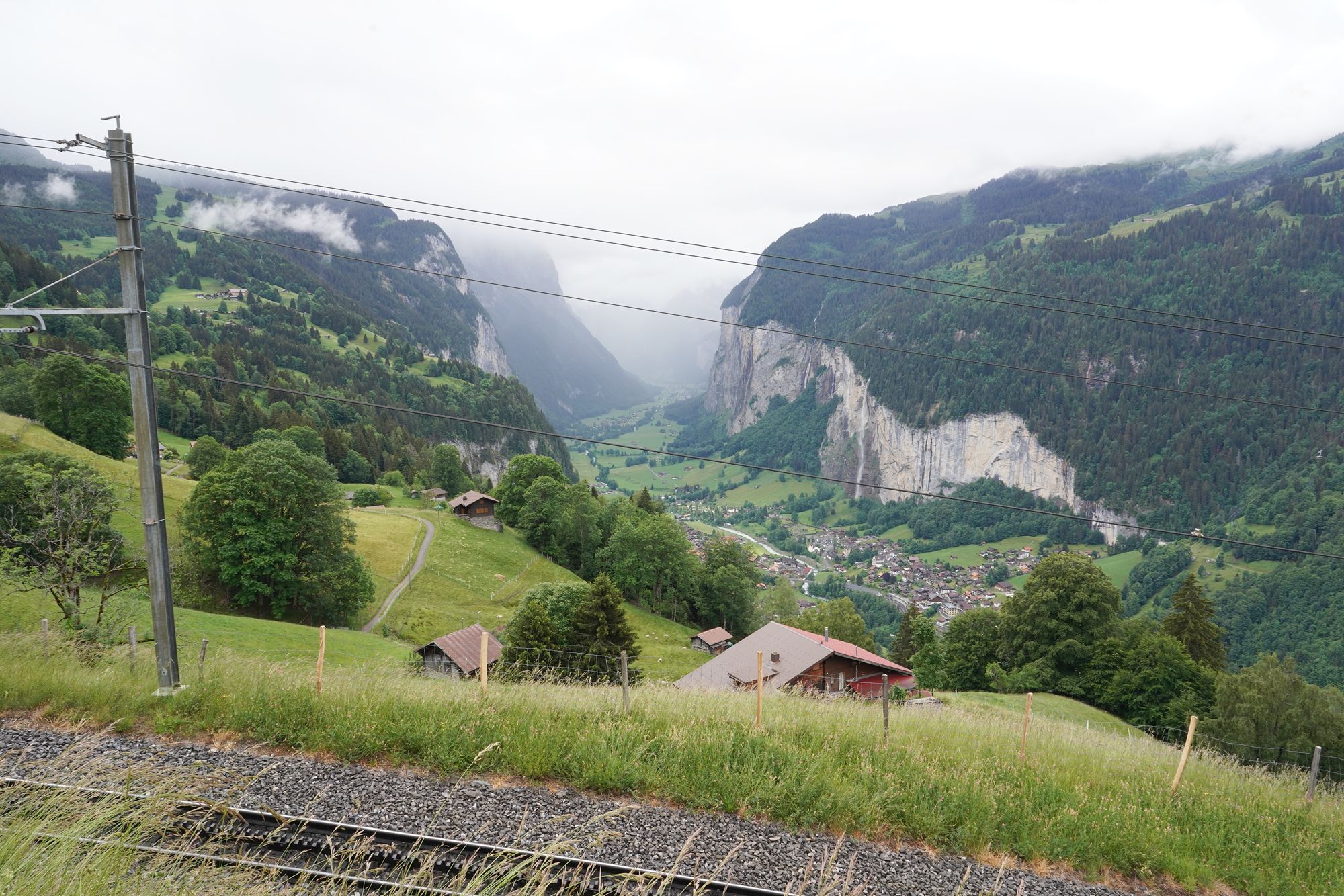
A view behind me
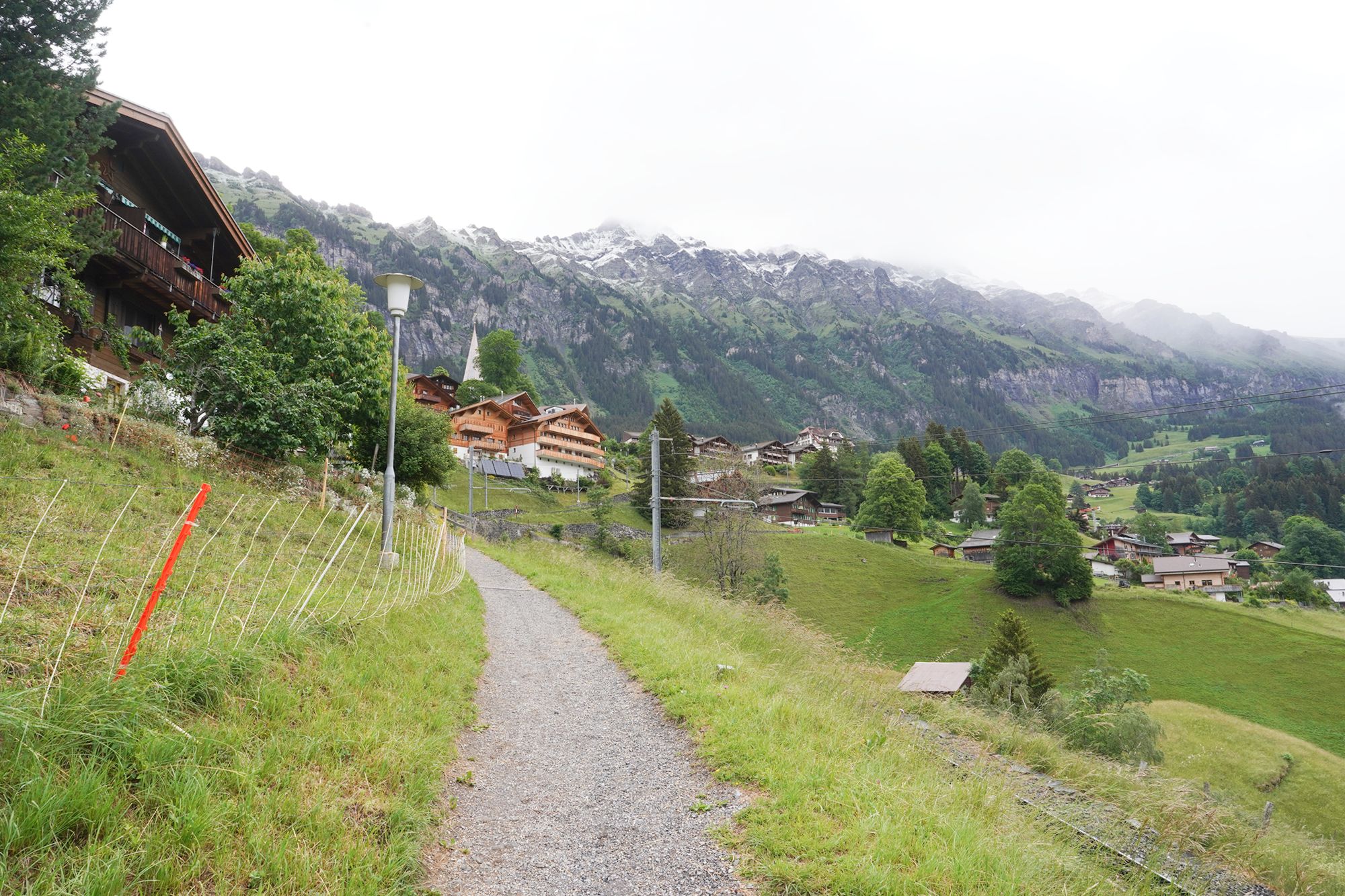
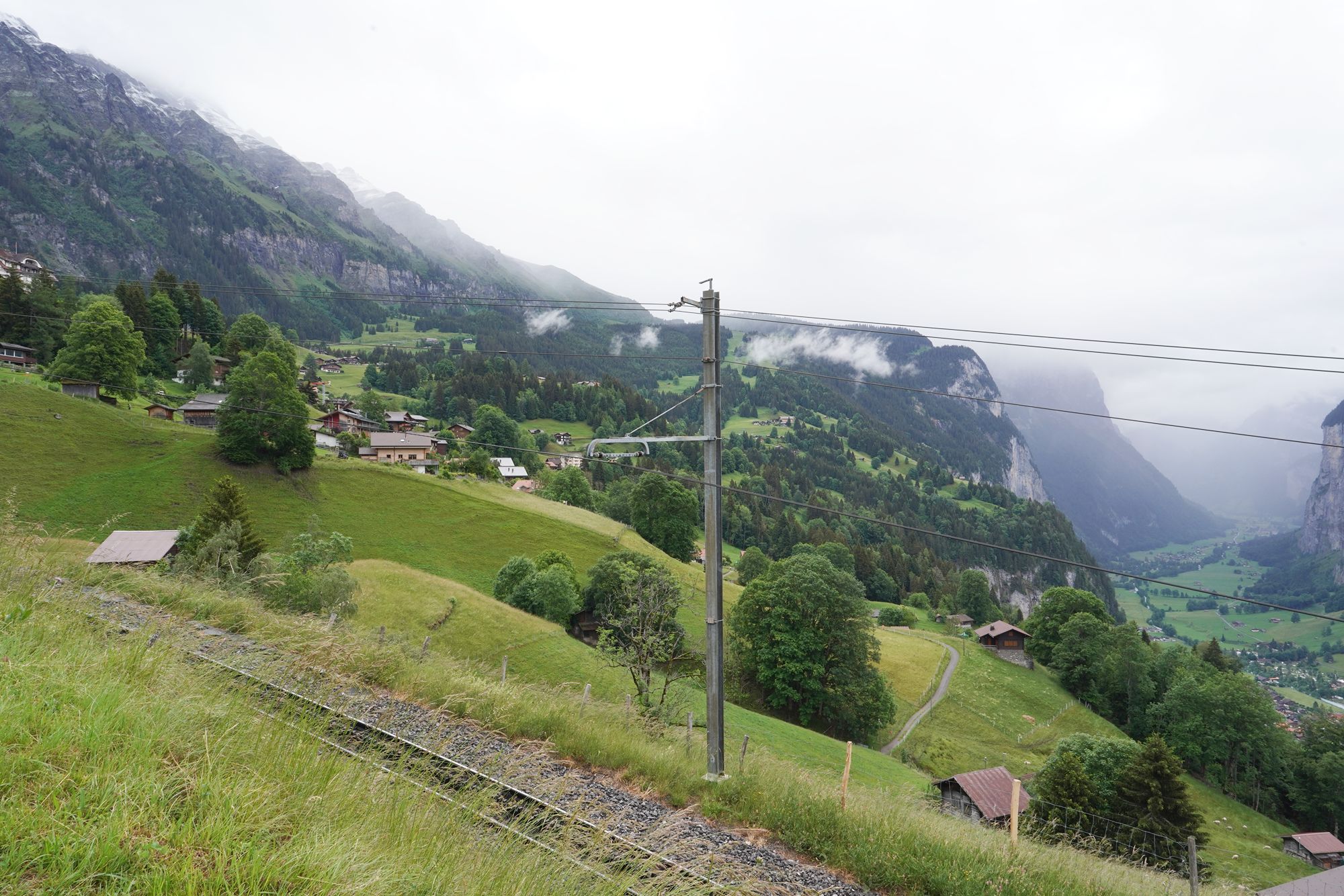
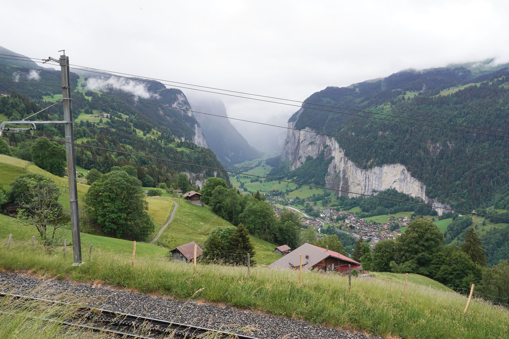
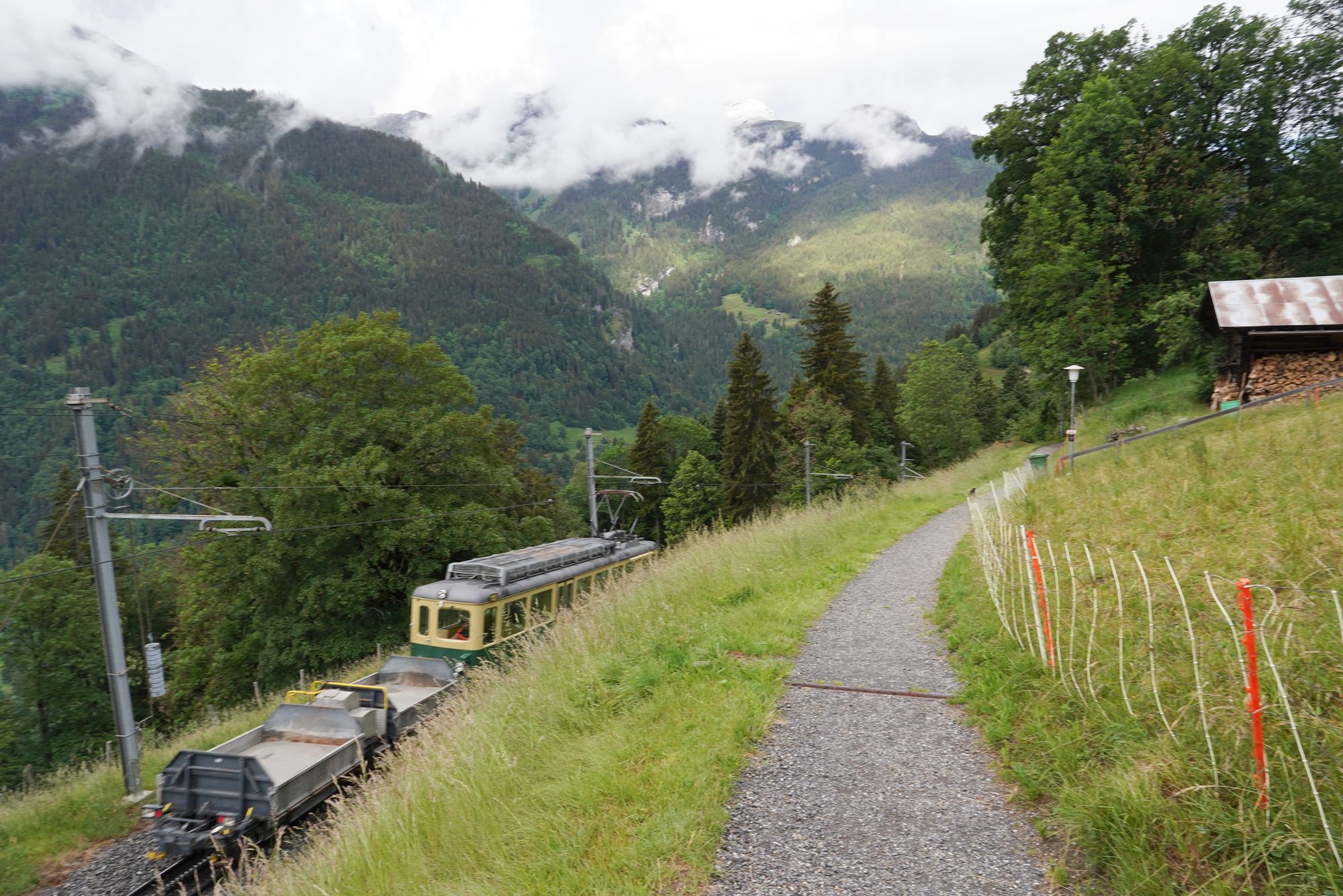
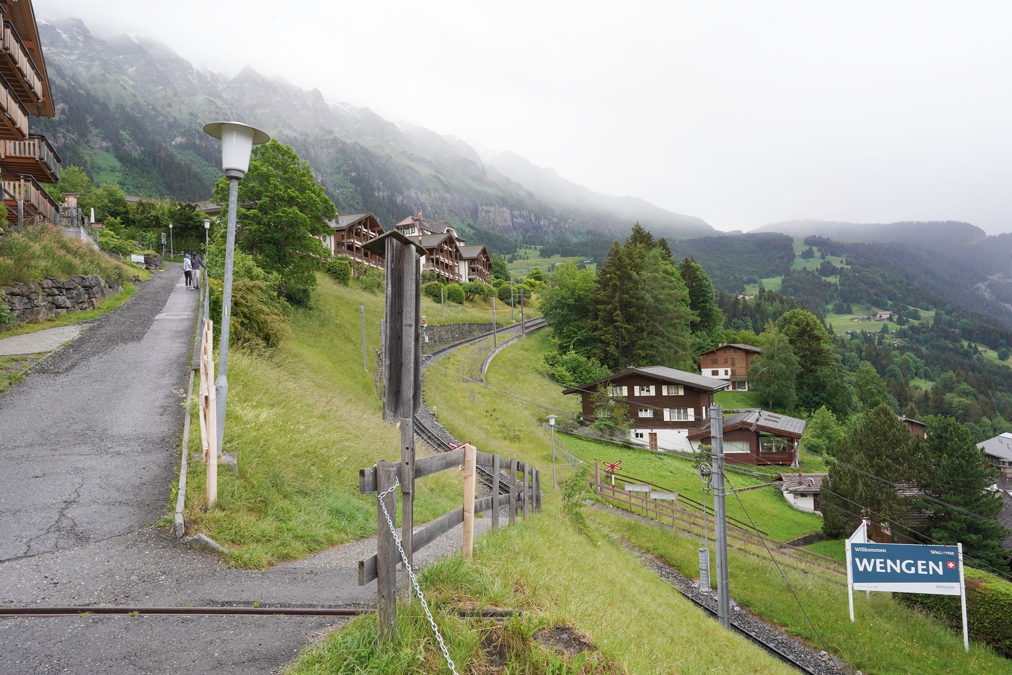
A view on my right, the hill side
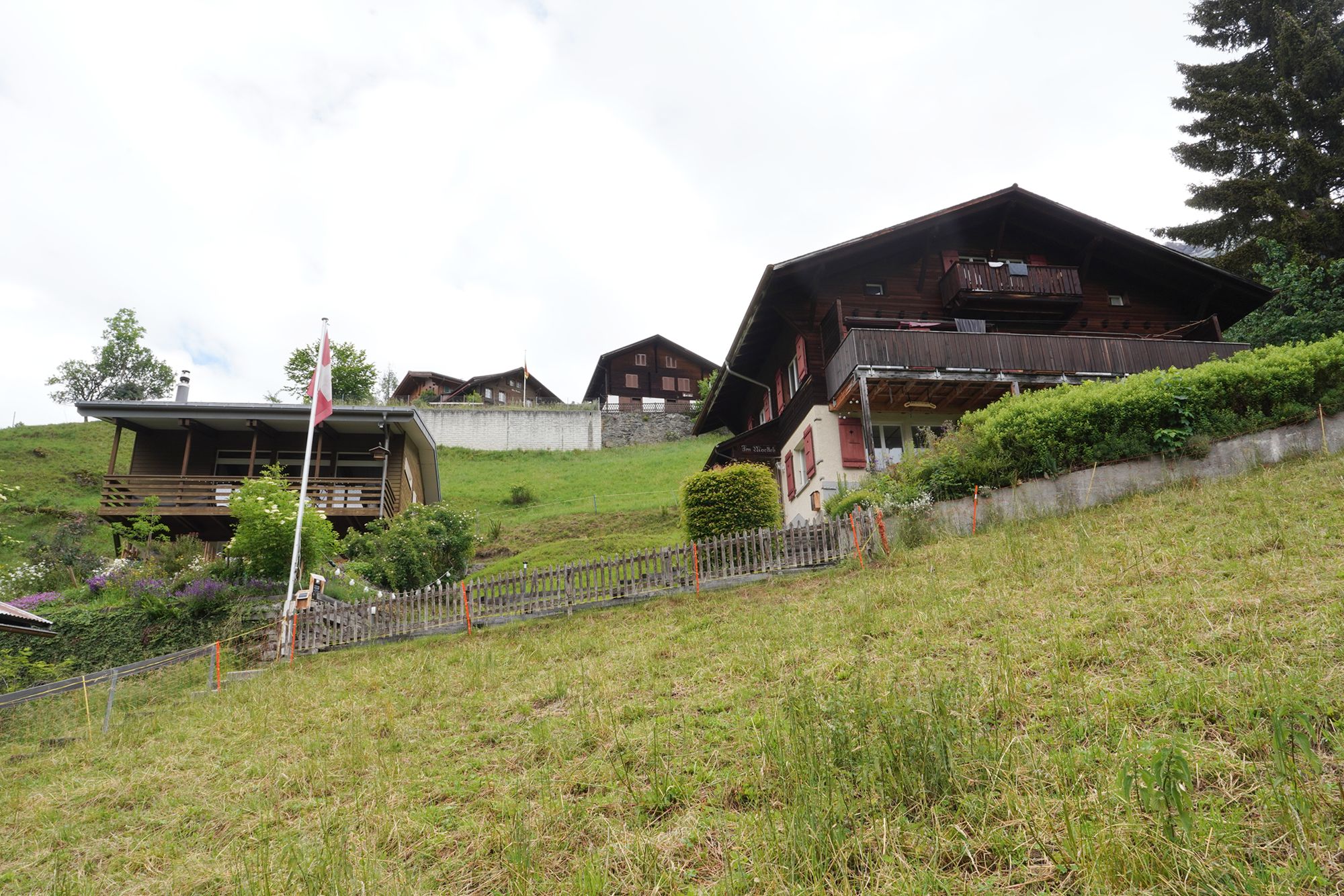
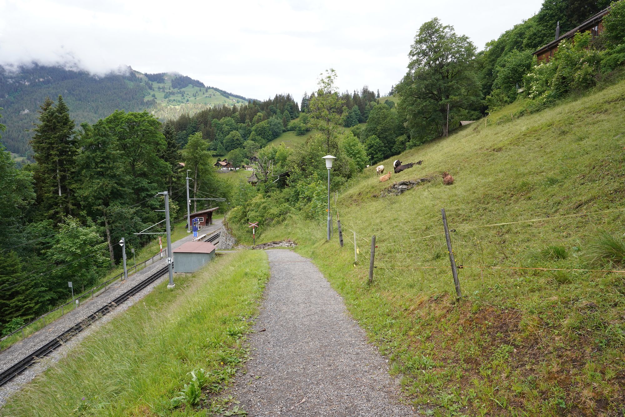
The Wengwald train station
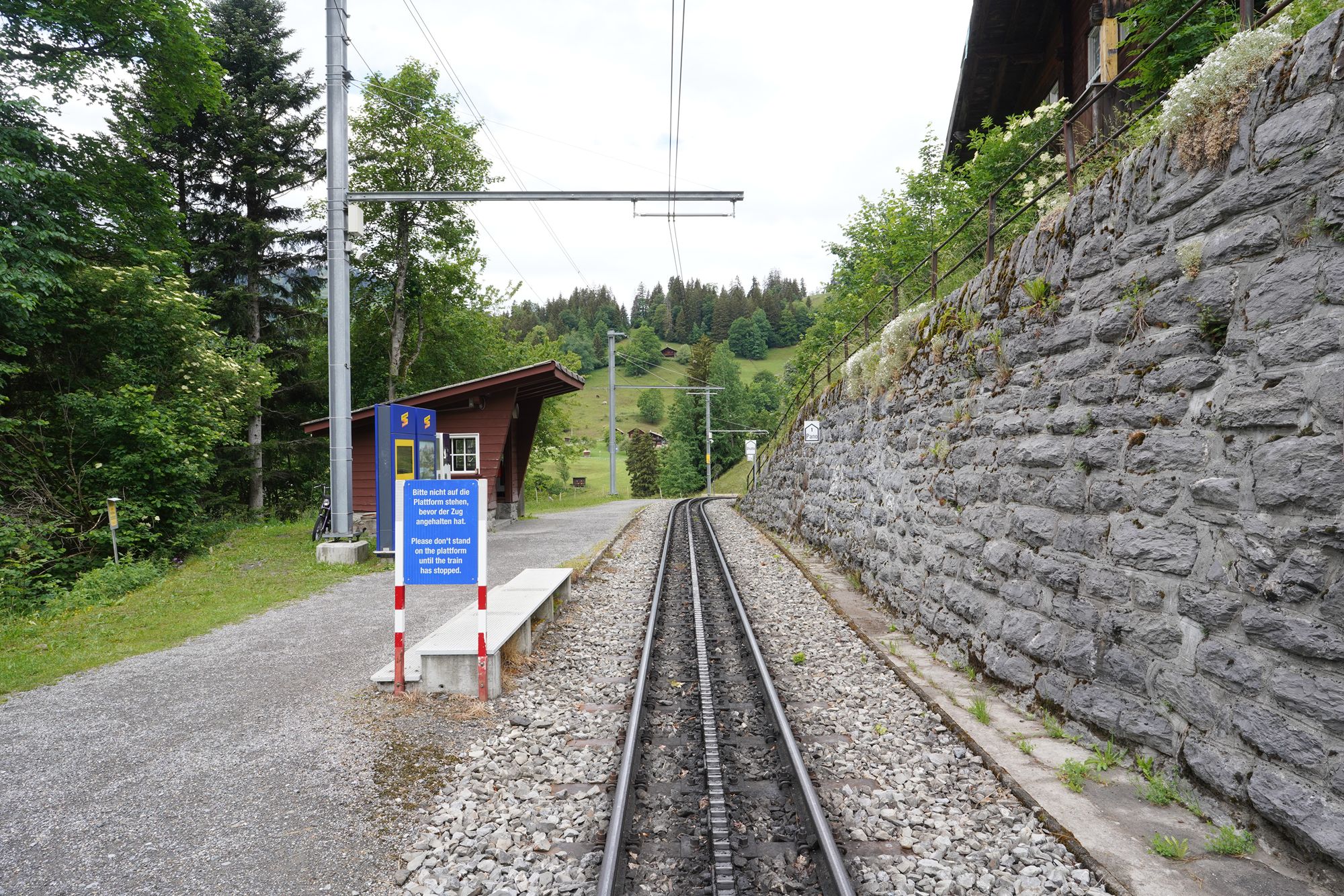
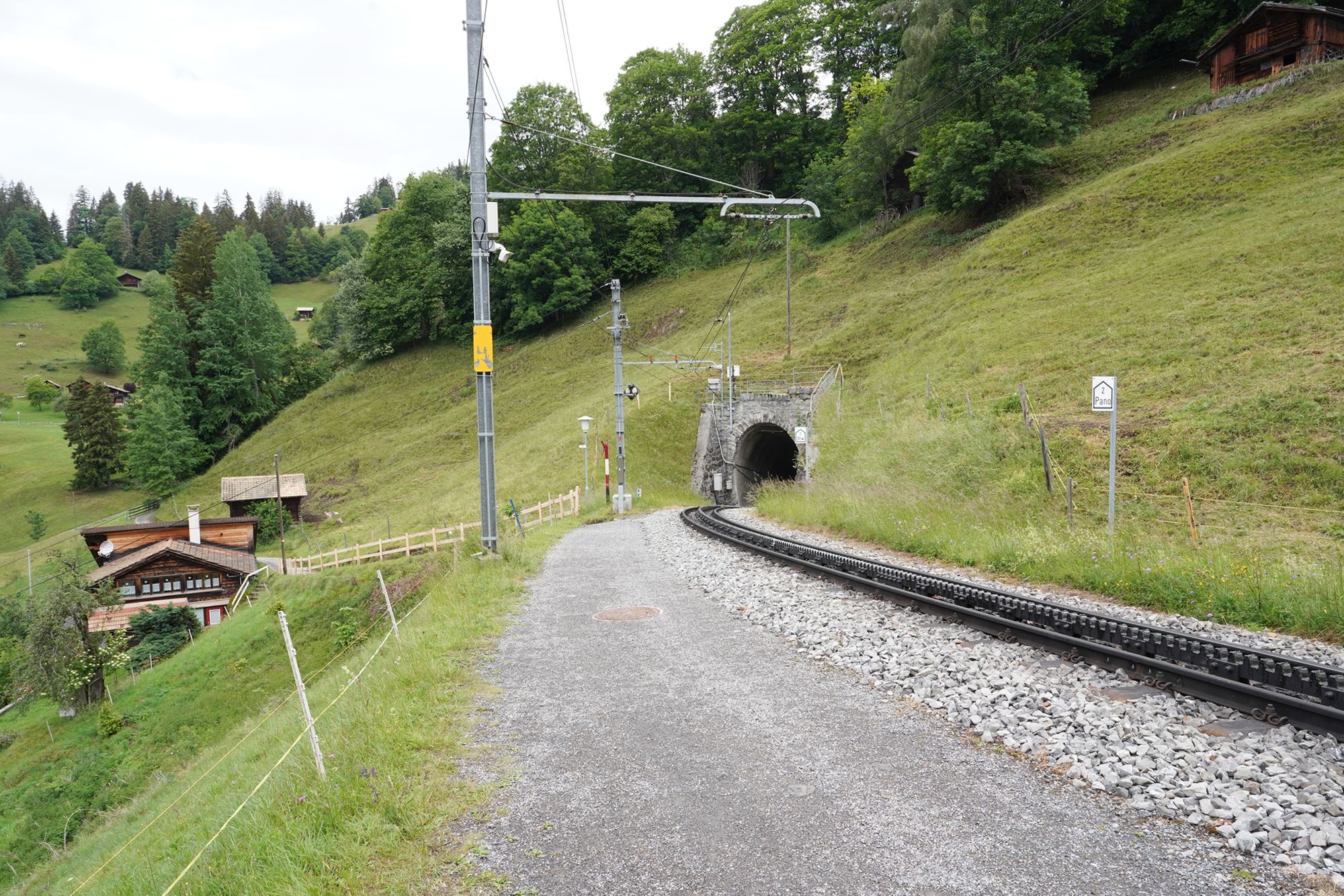
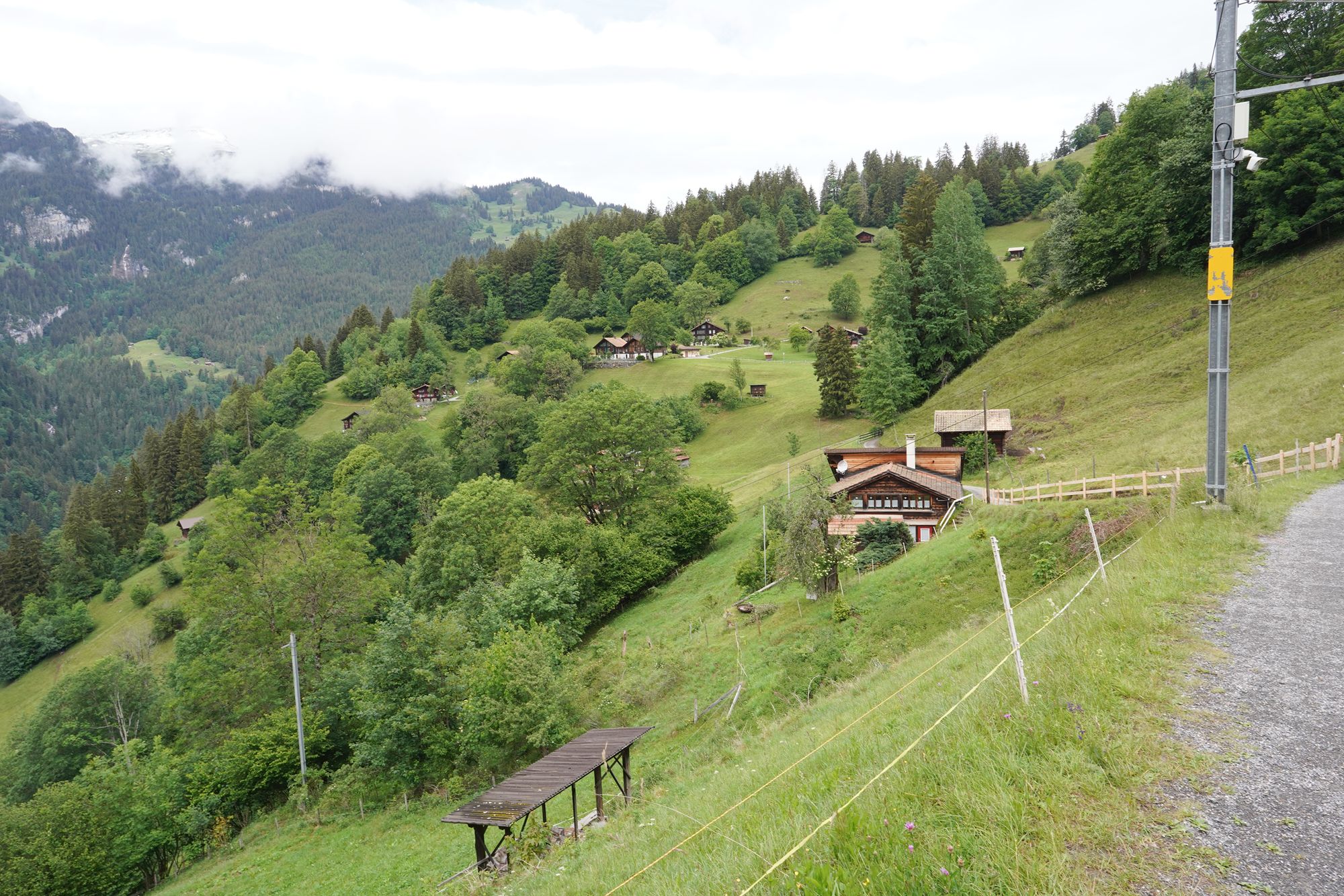
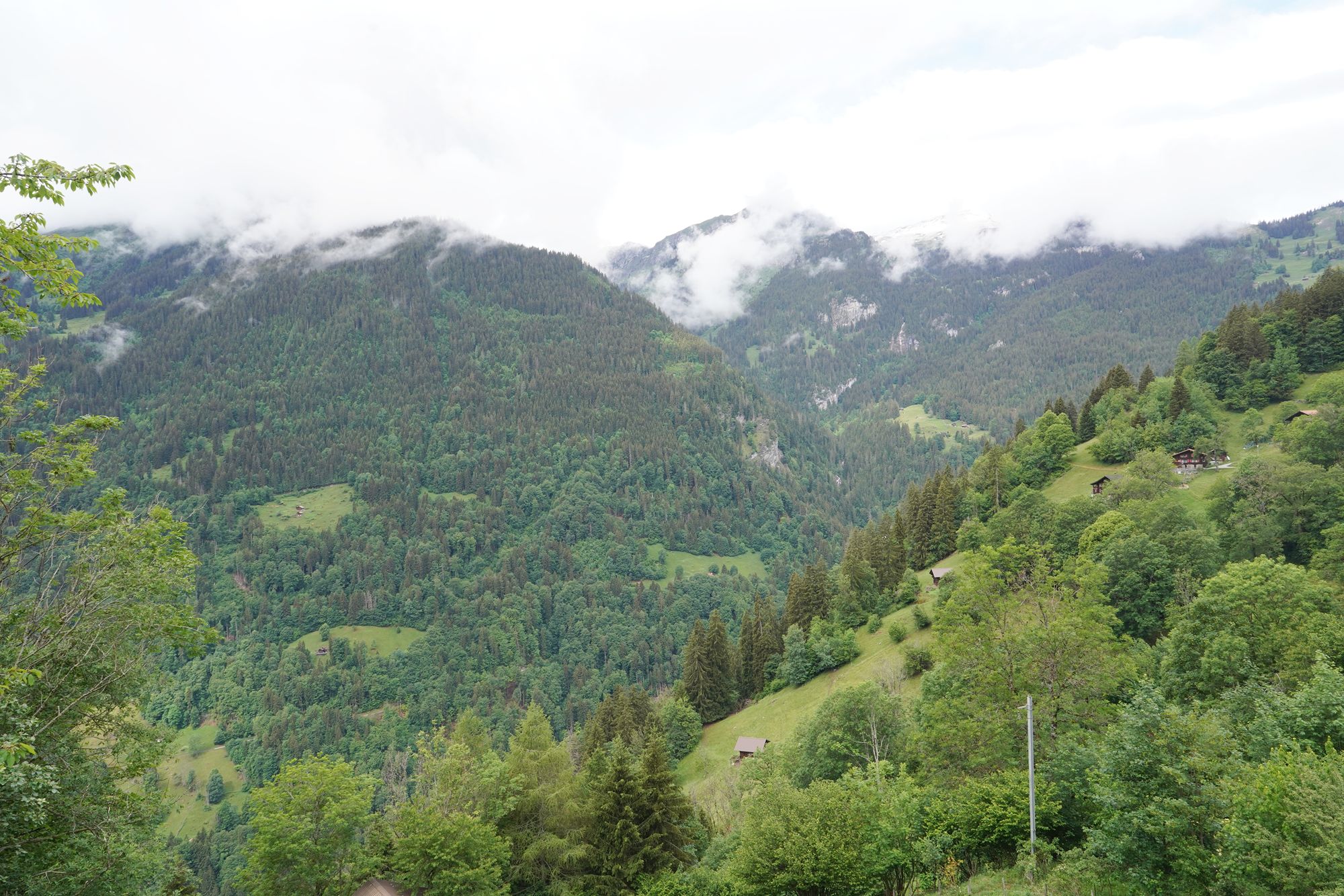
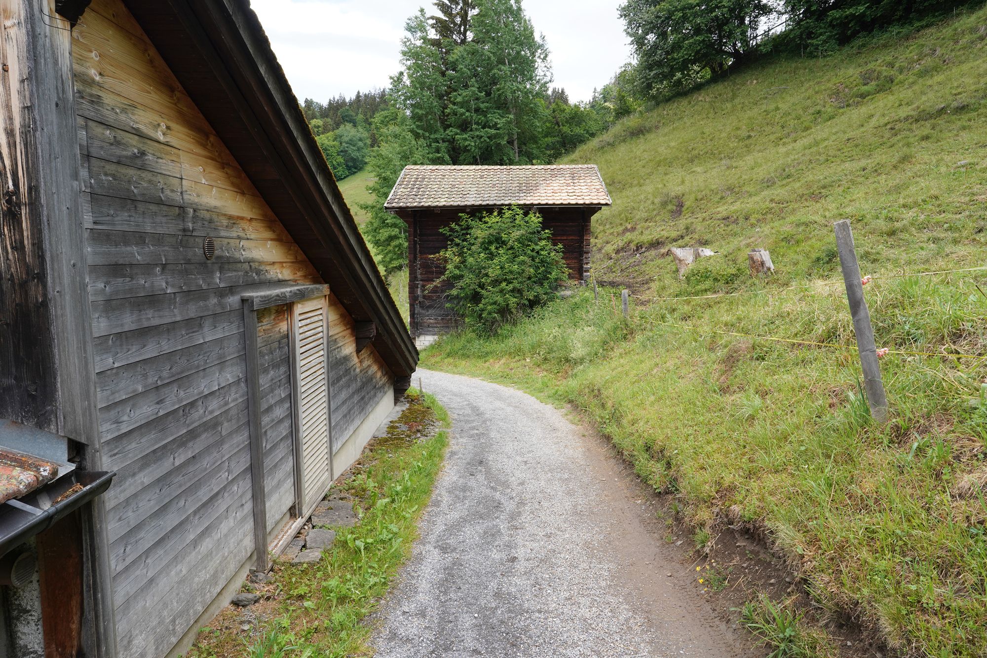
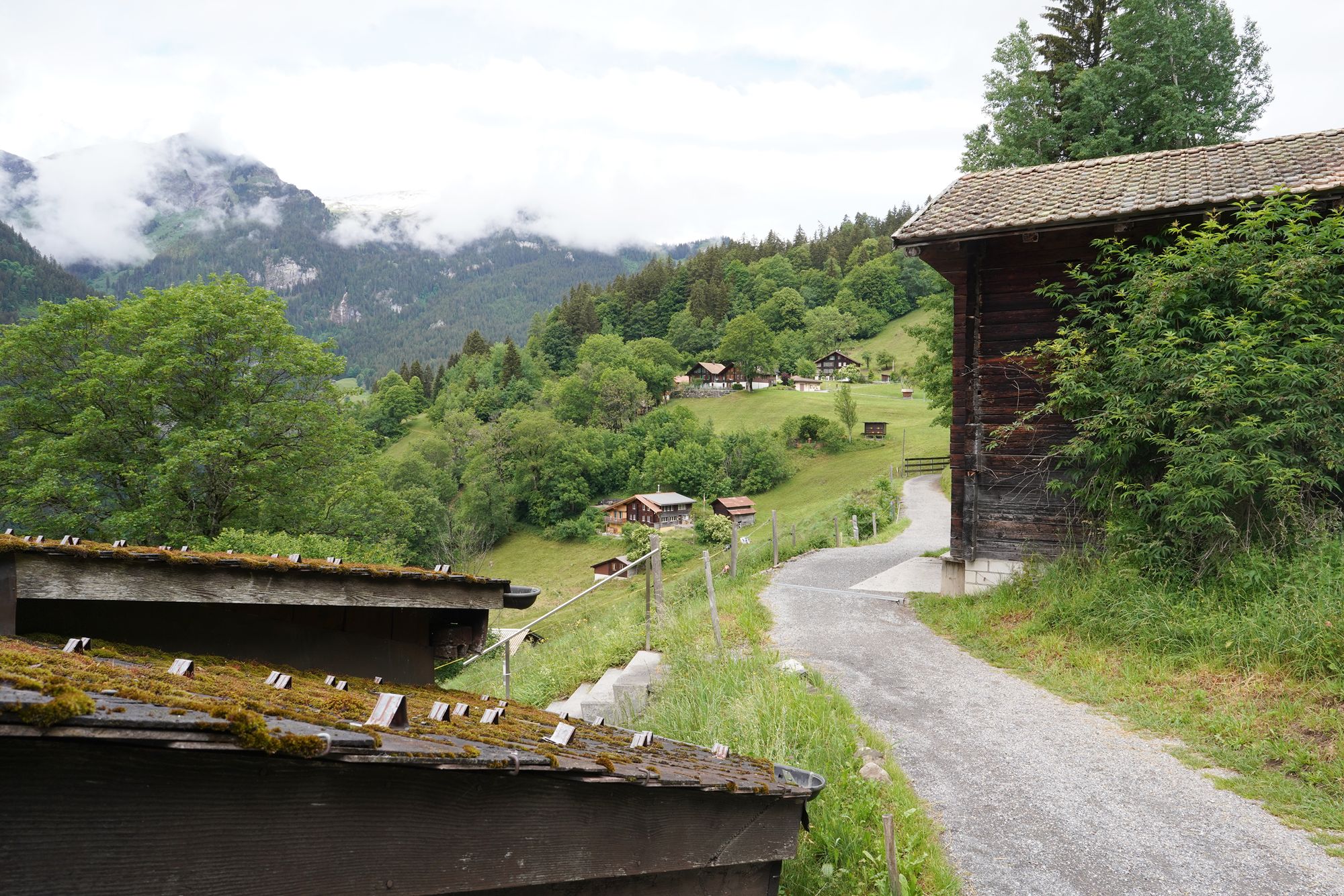
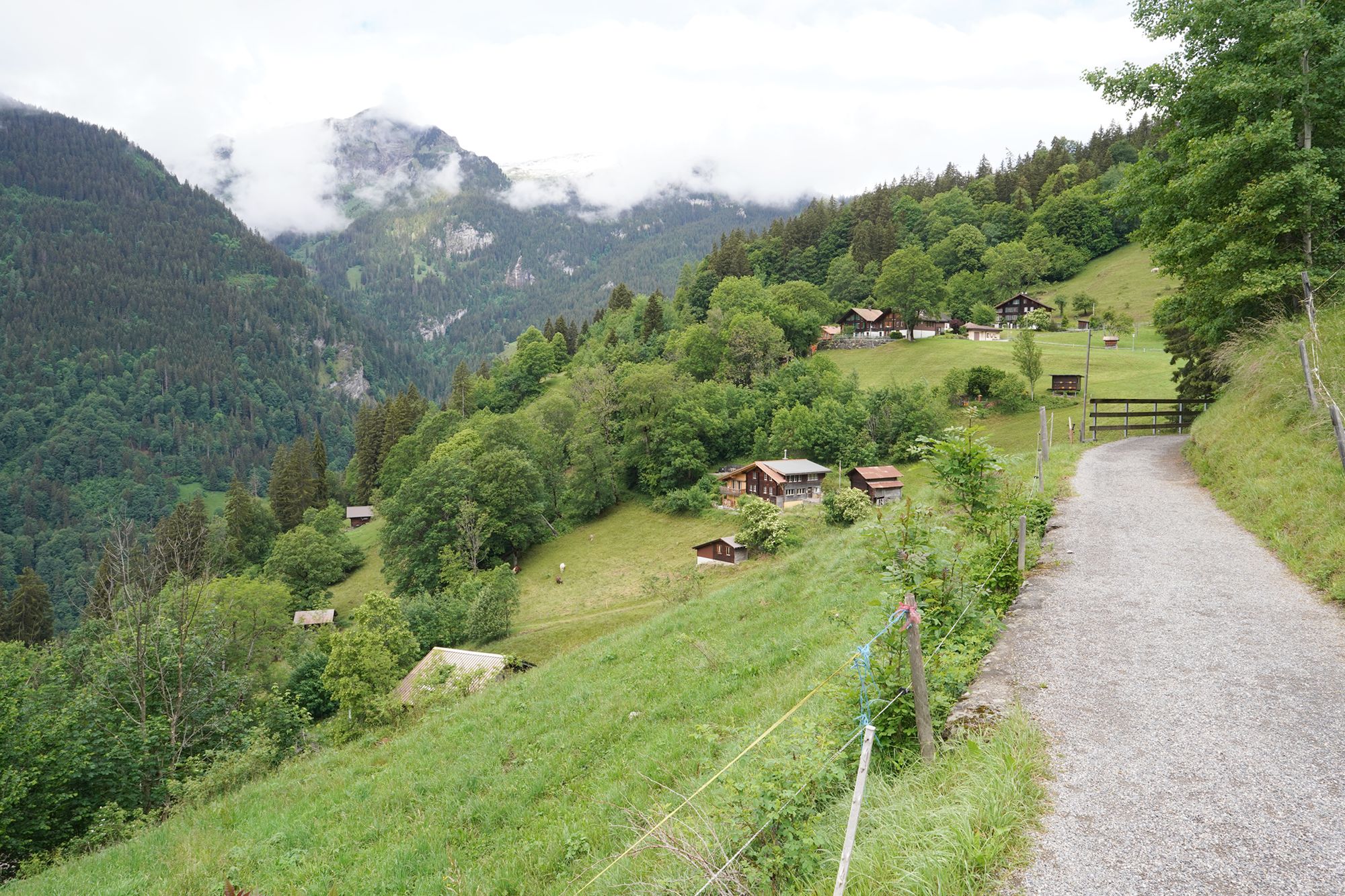
A view behind me
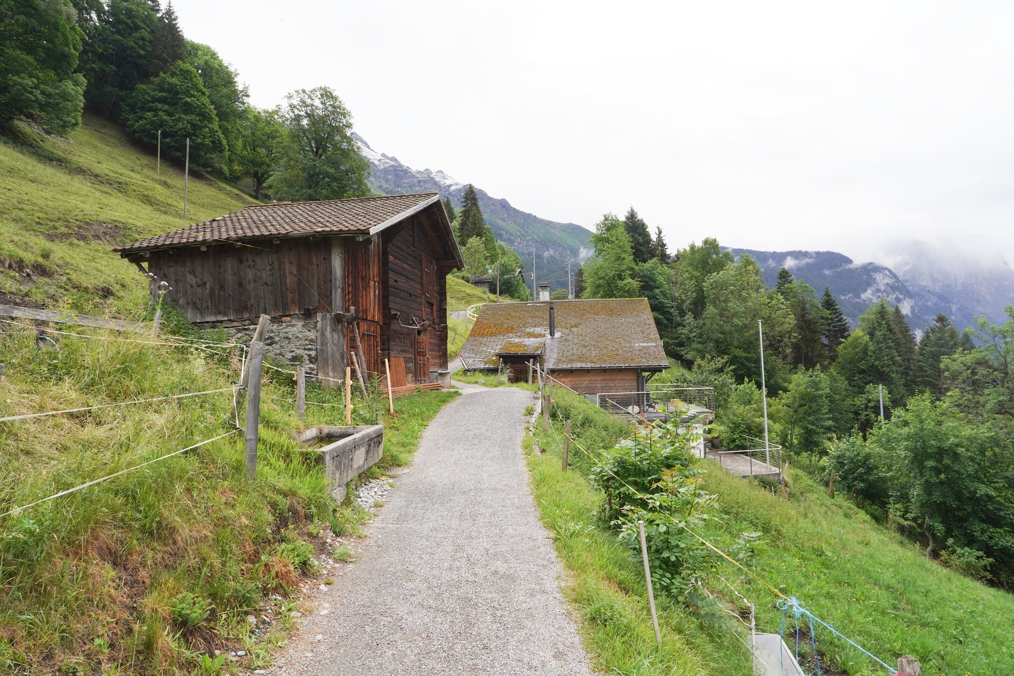
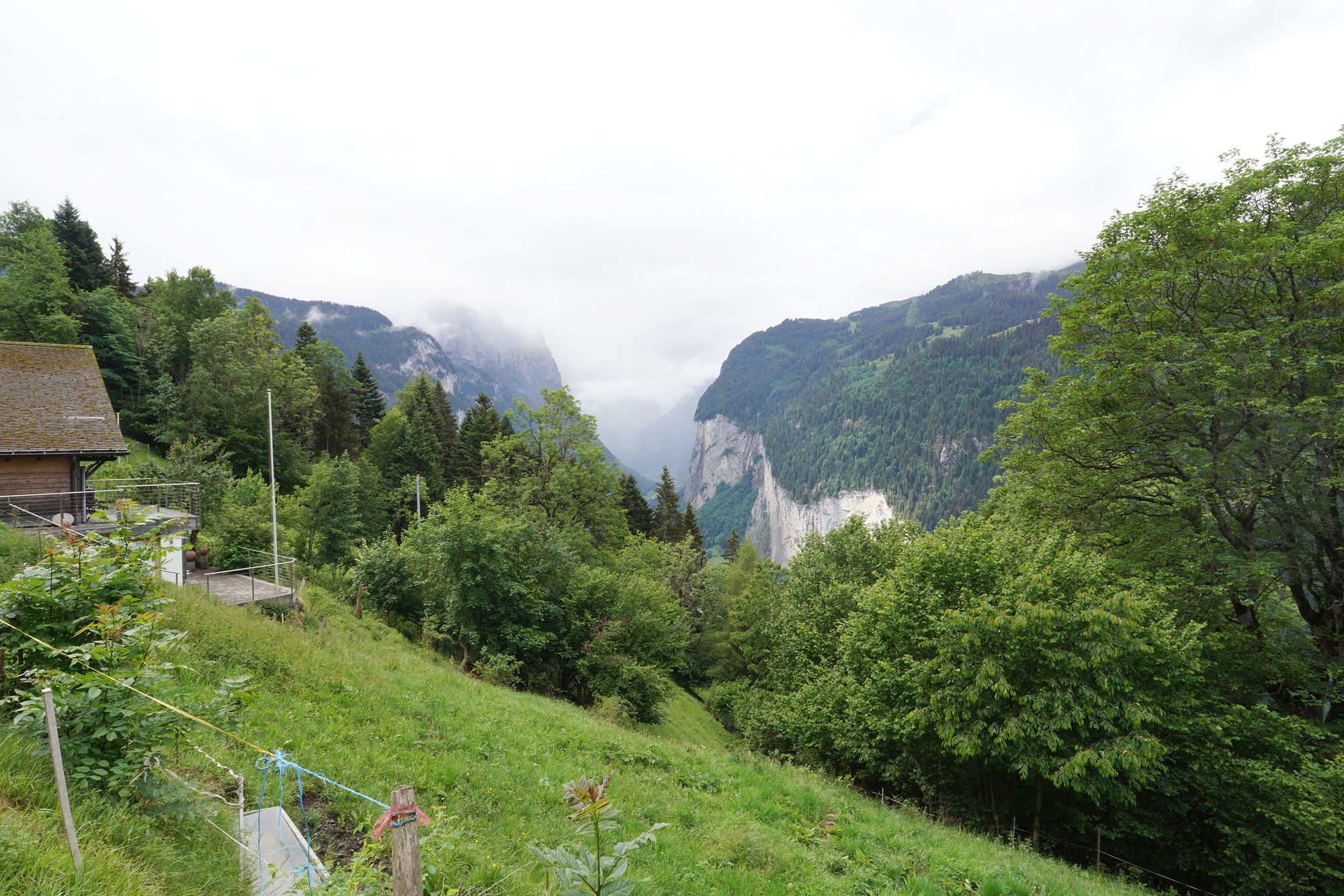
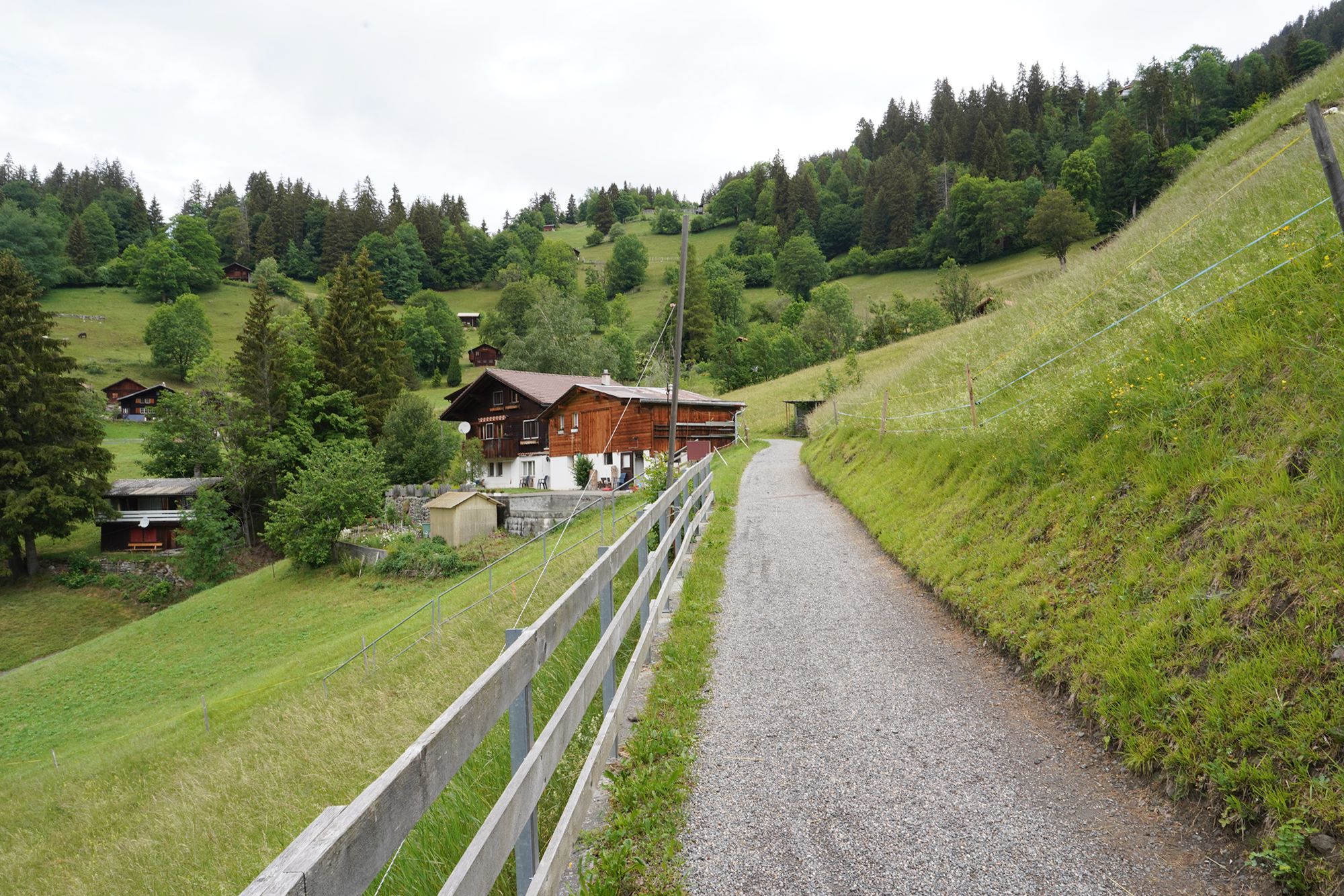
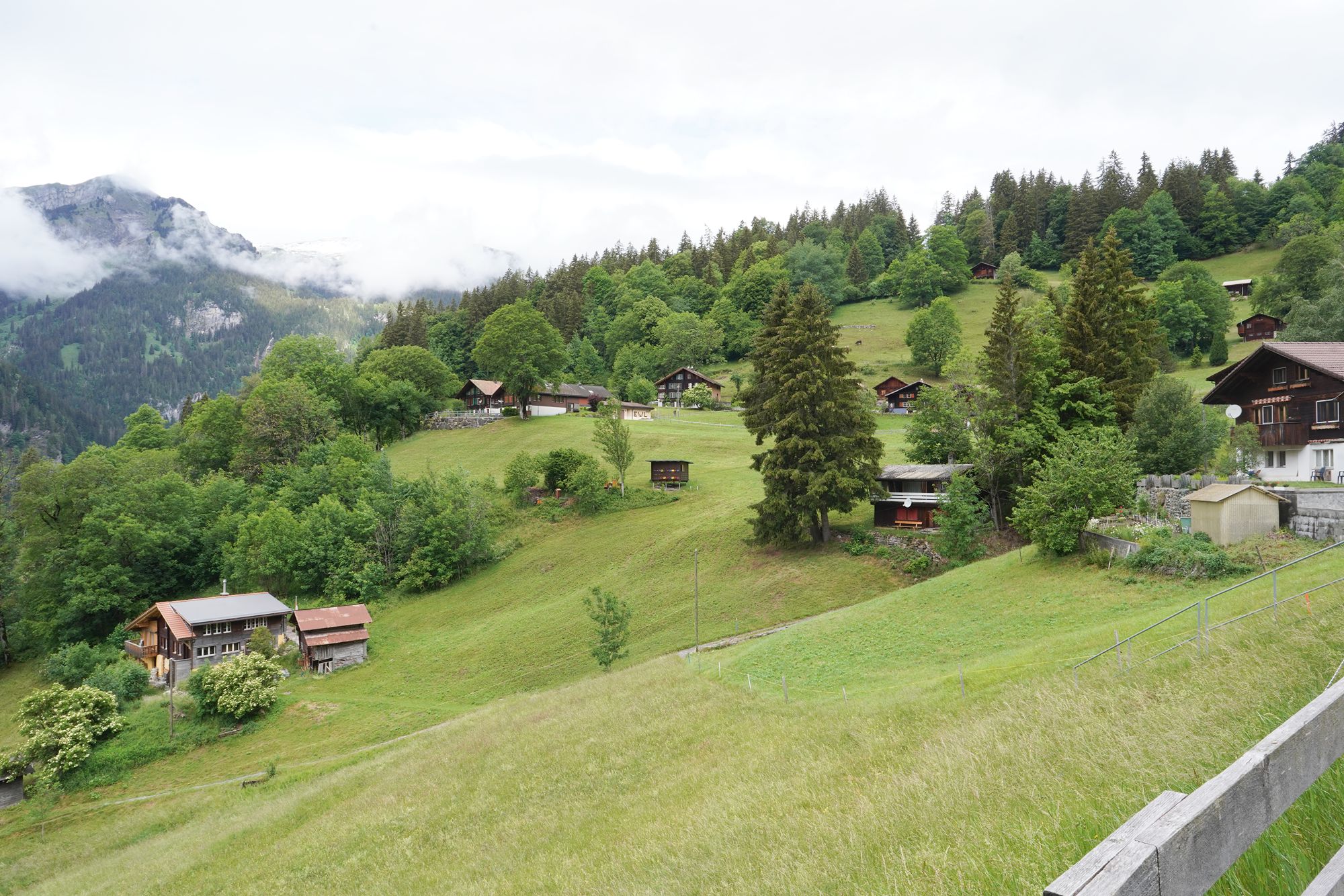
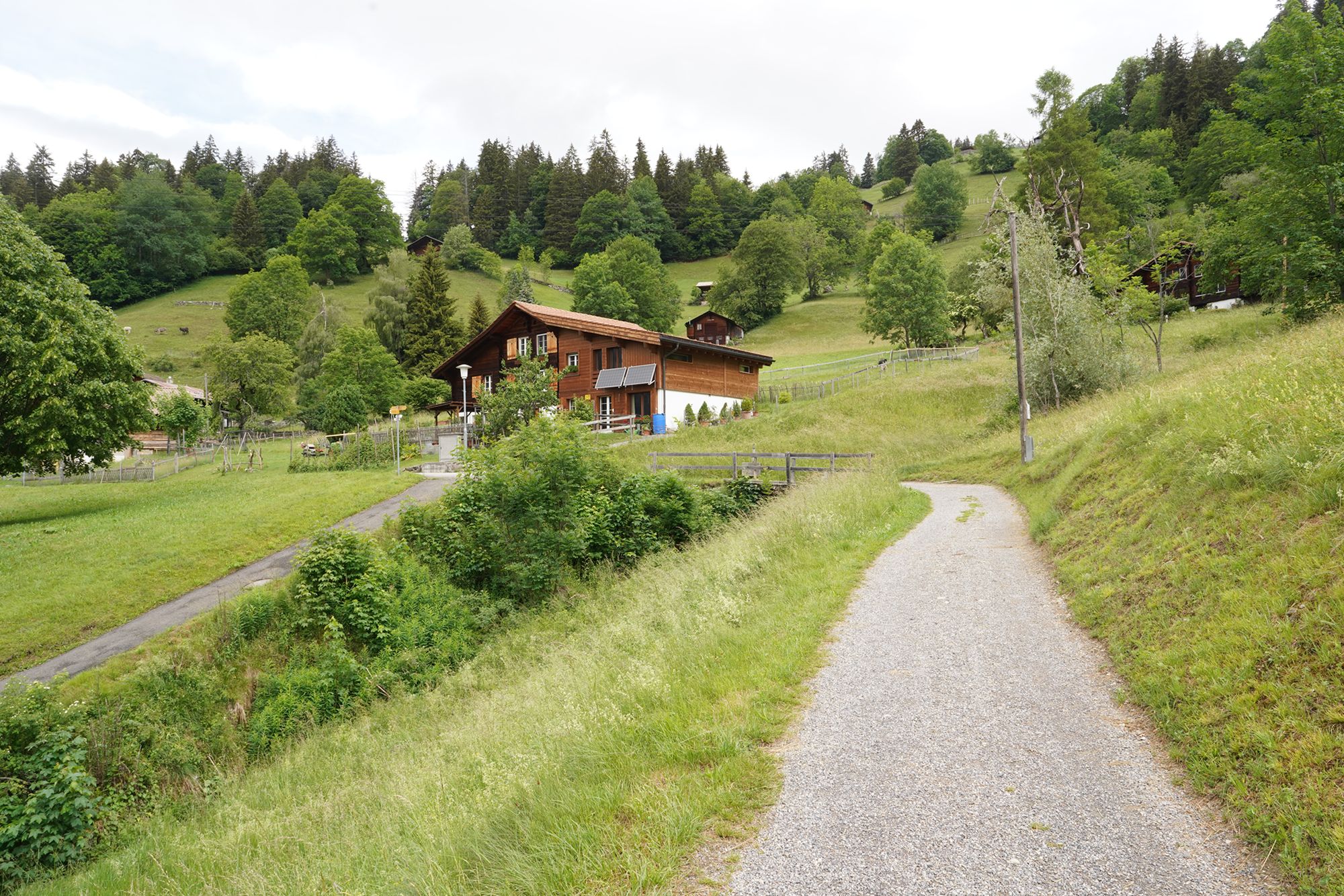
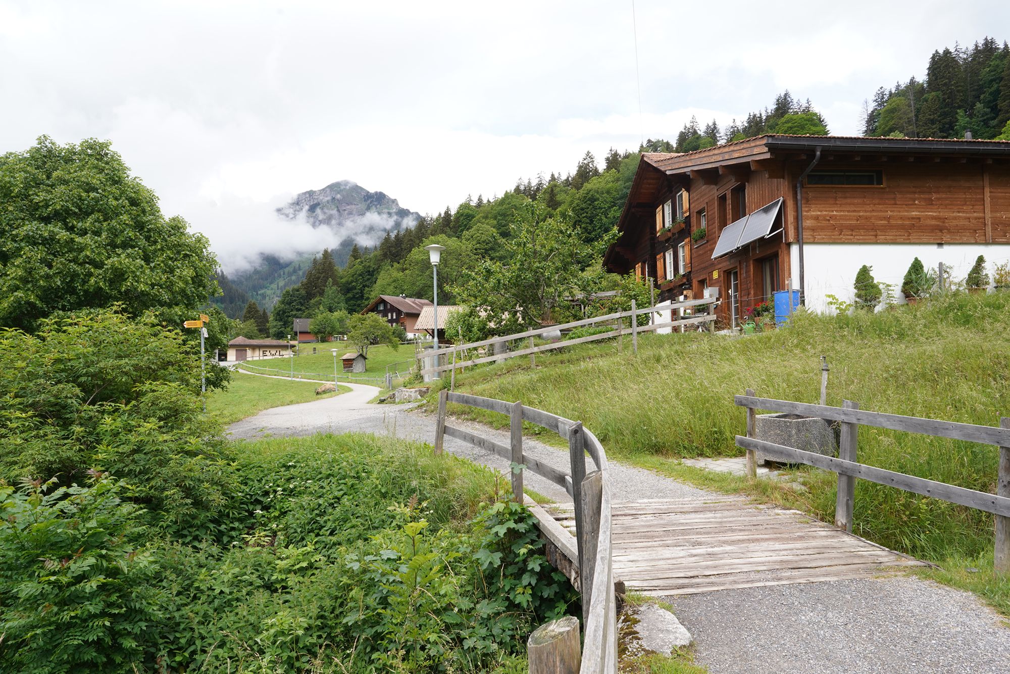
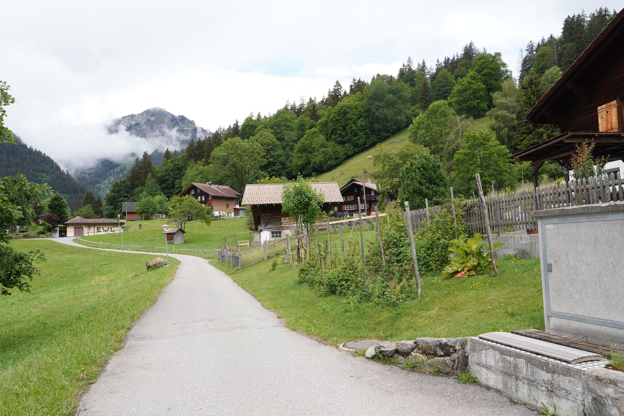
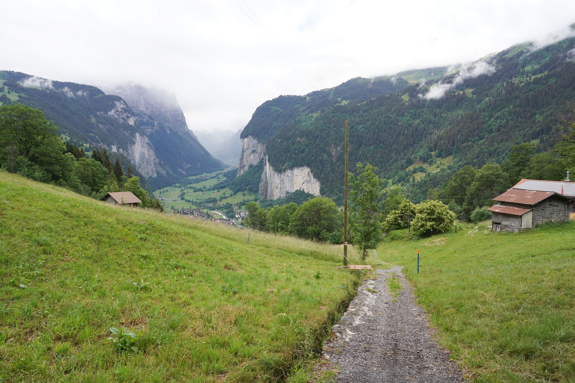
From here, the trail was no longer paved and became quite steep. I had to slow down and watch each step carefully as I made my way downhill.
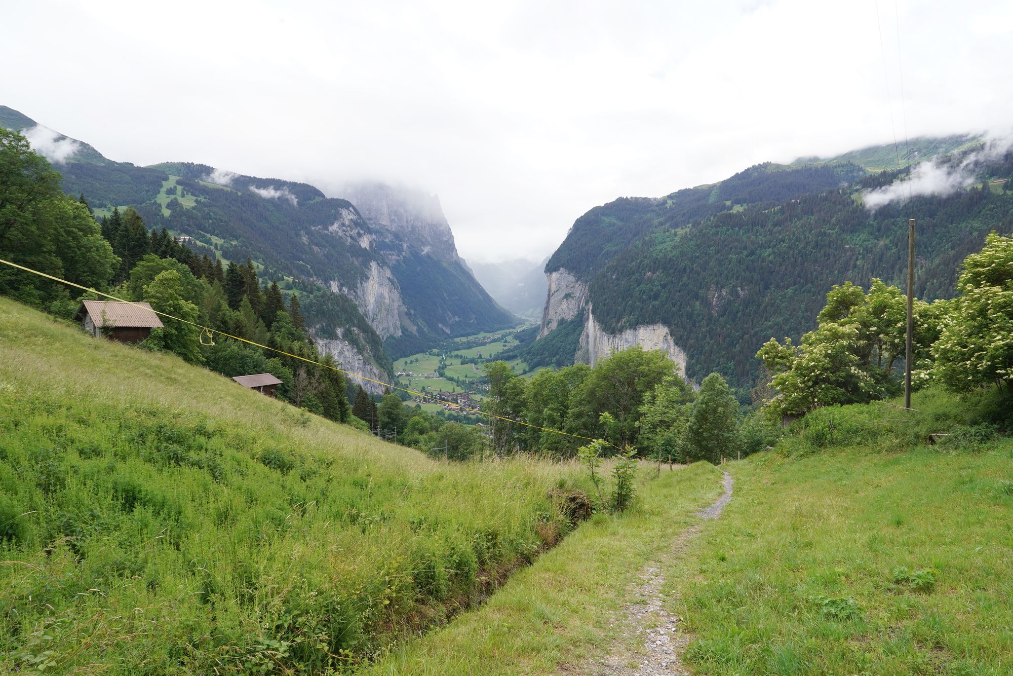
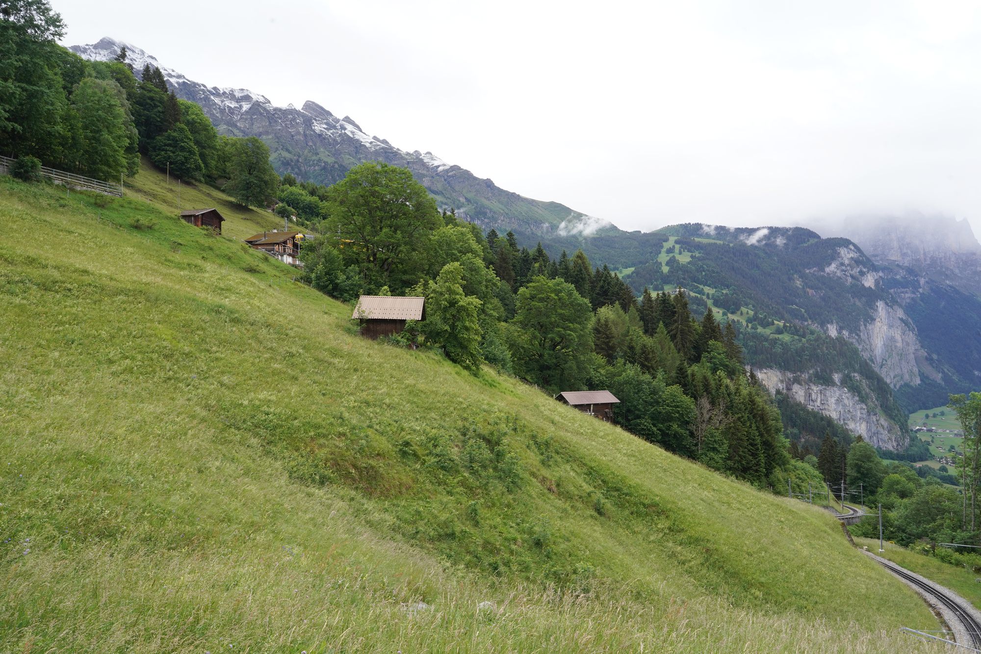
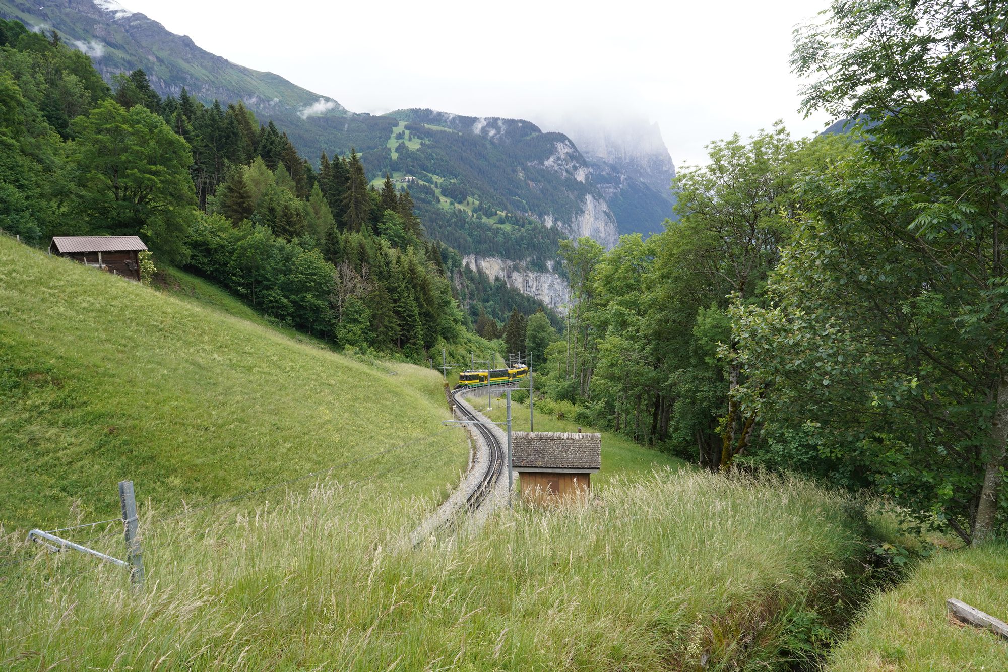
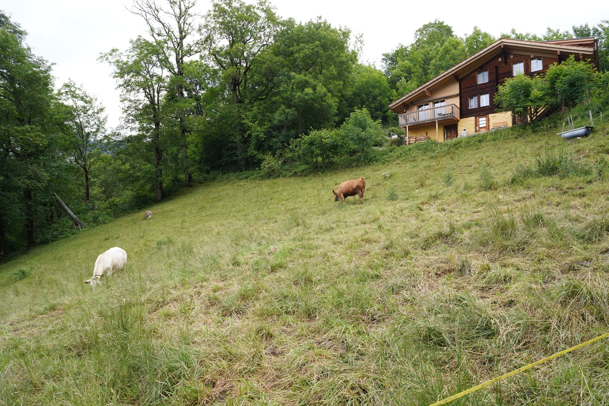
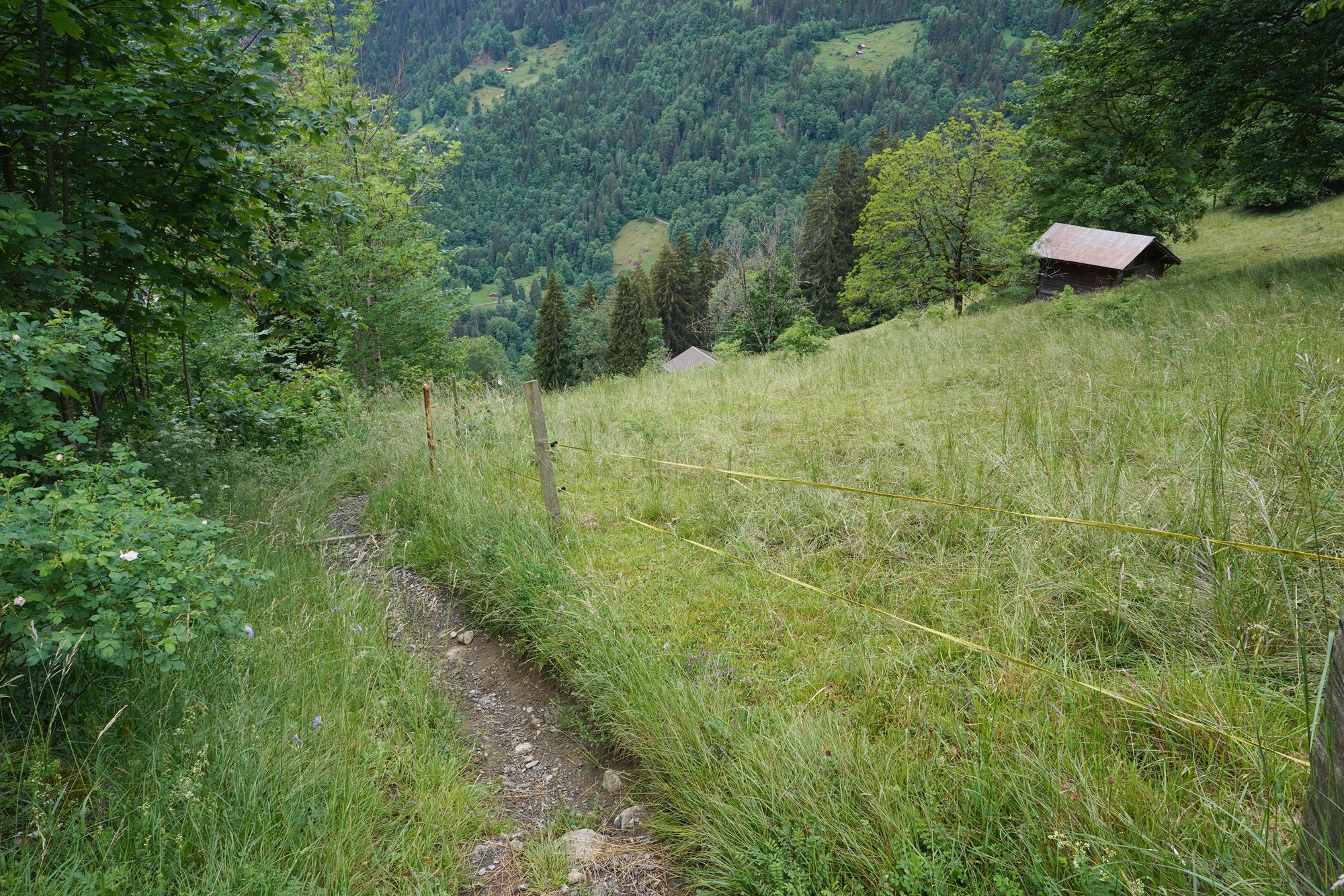
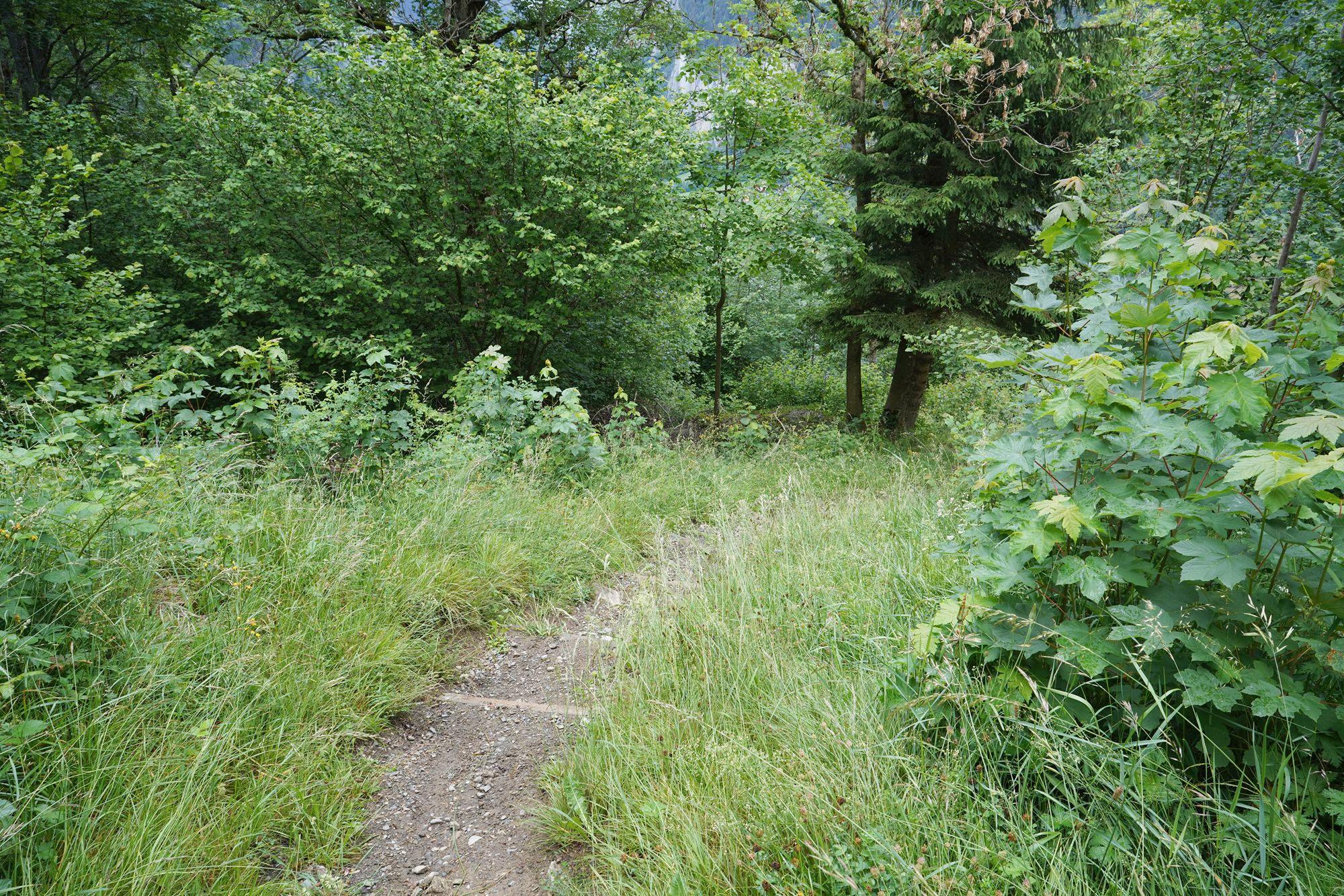
The trail does not look very steep in the pictures, but from the side view, you can get a better sense of just how steep the slope really was.
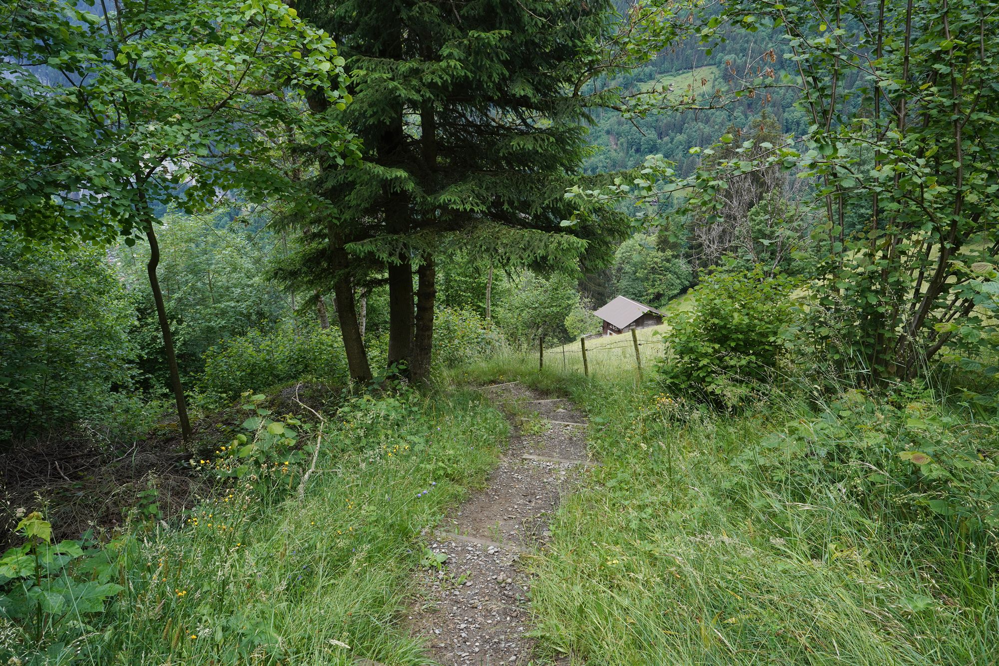
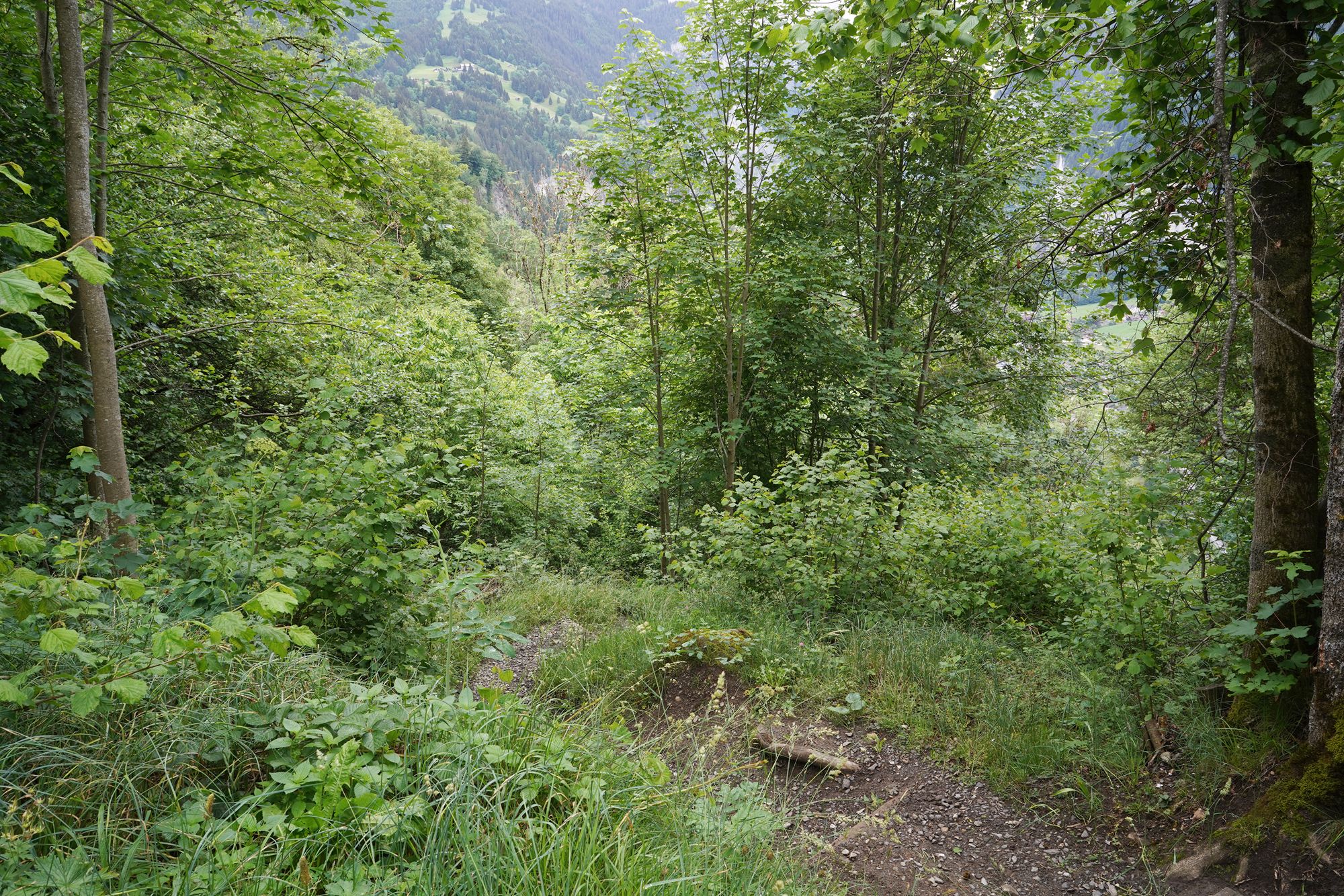
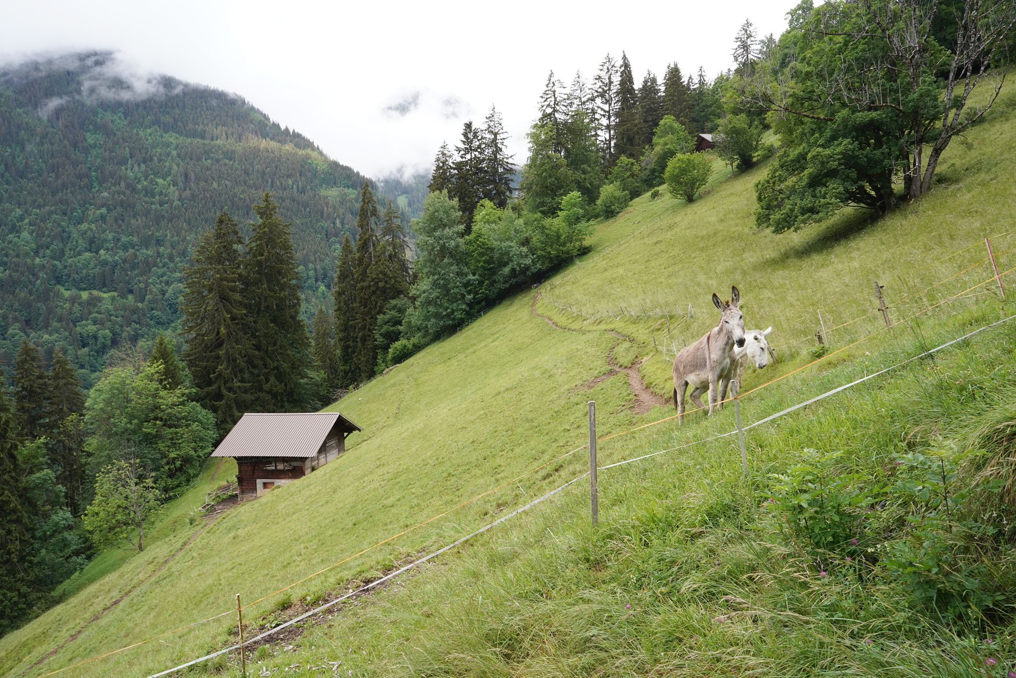
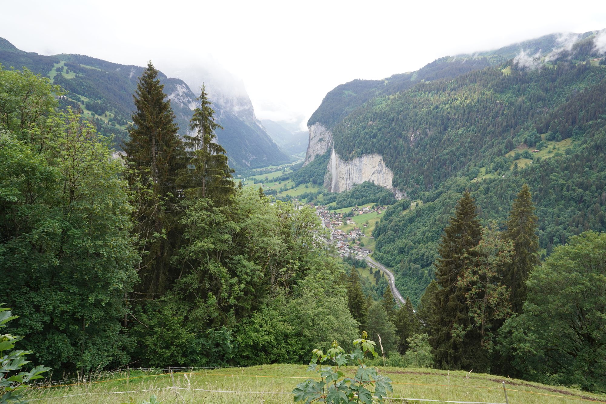
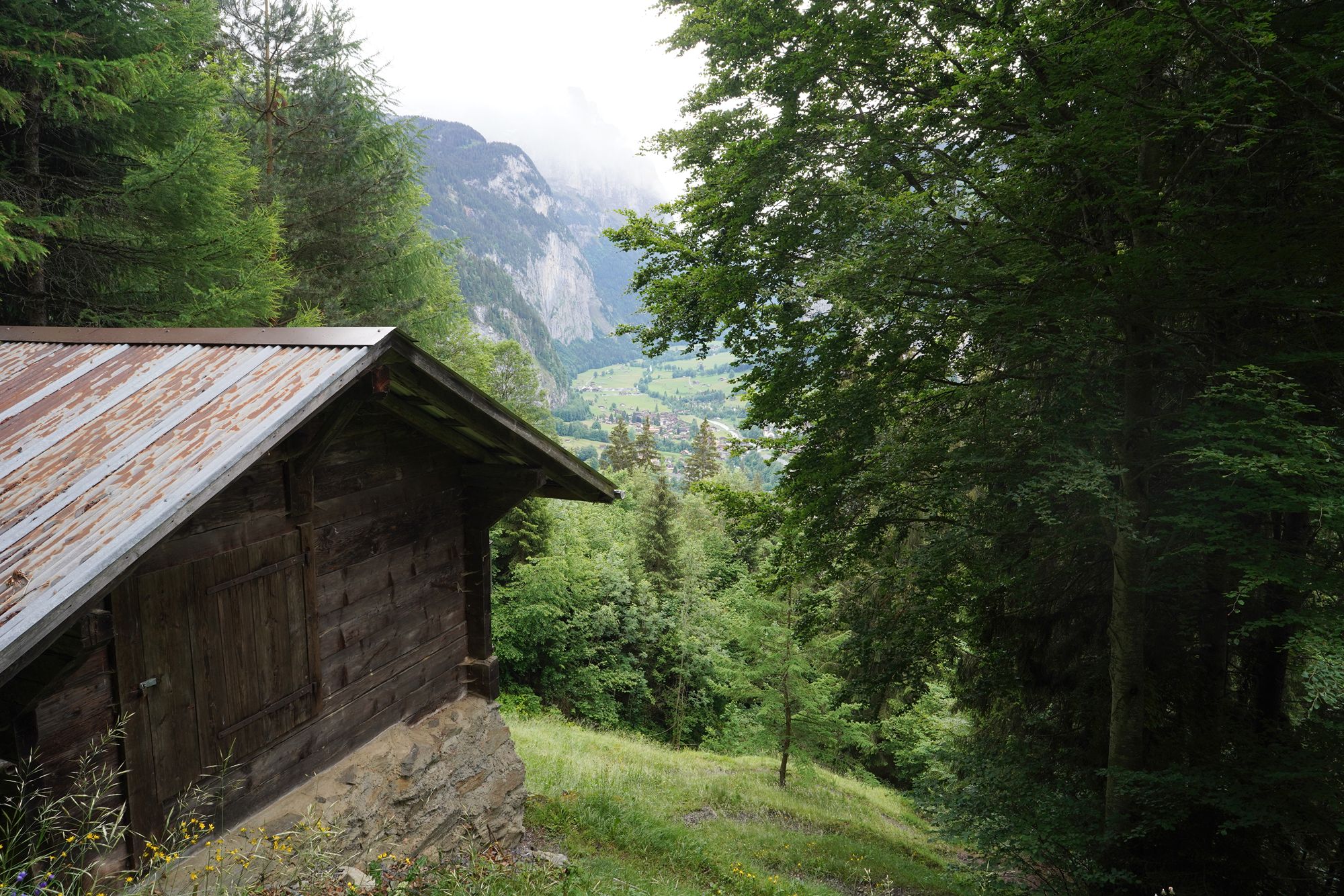
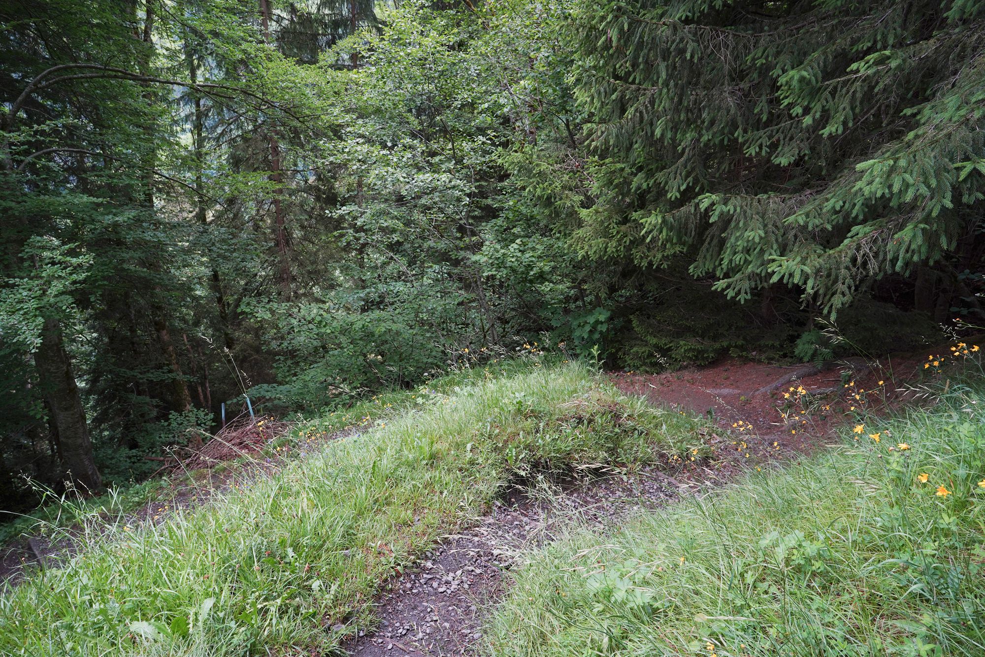
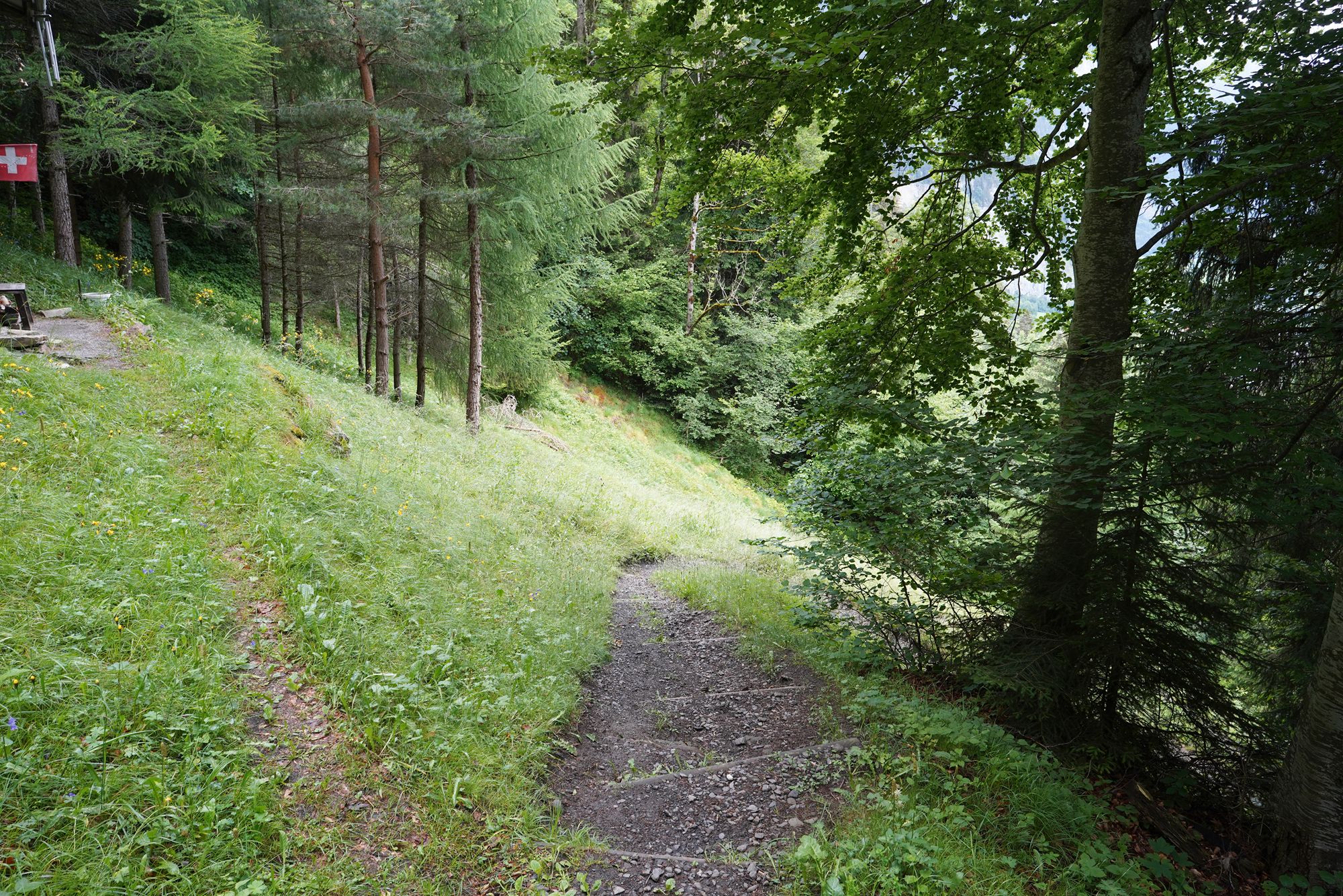
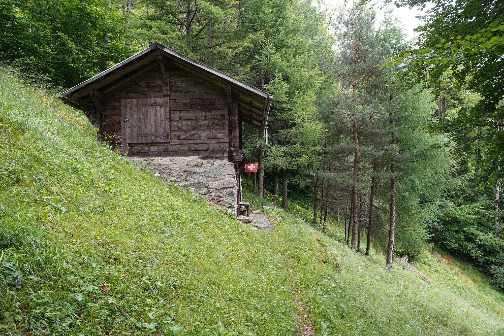
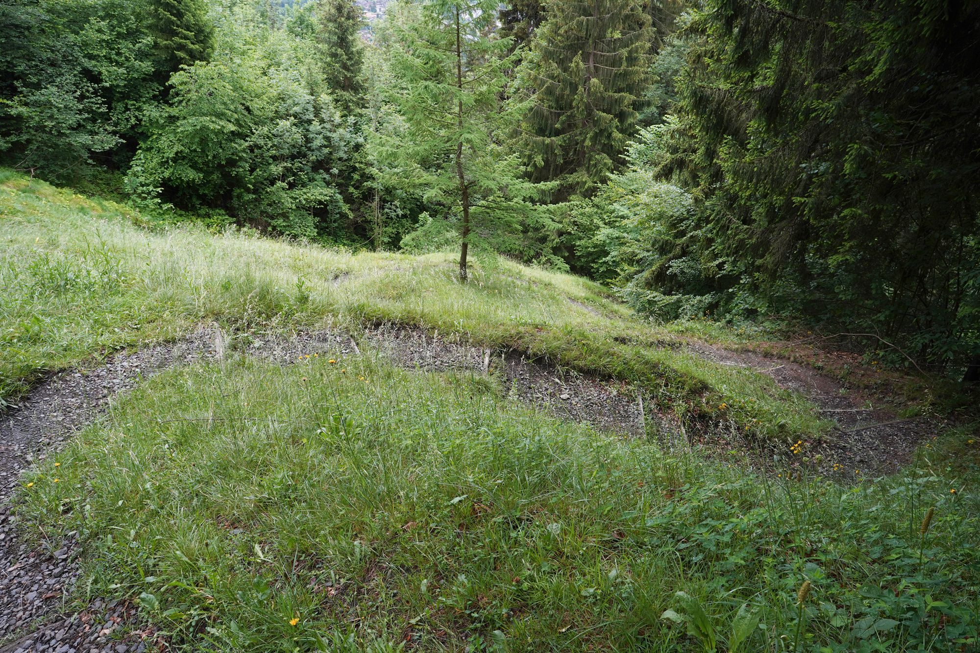
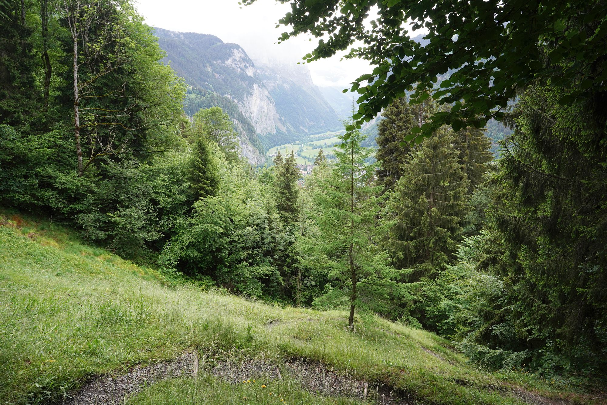
A view behind me
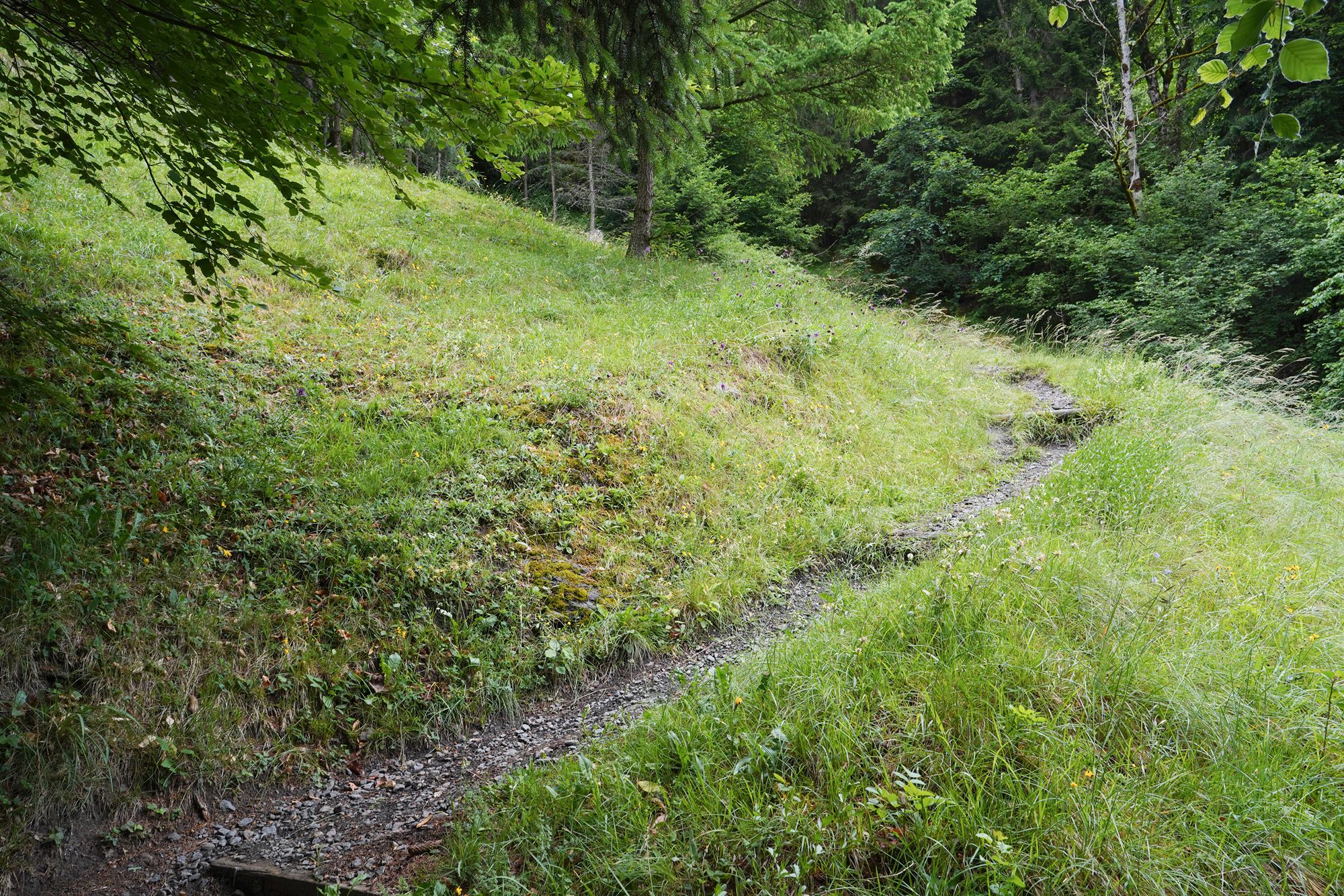
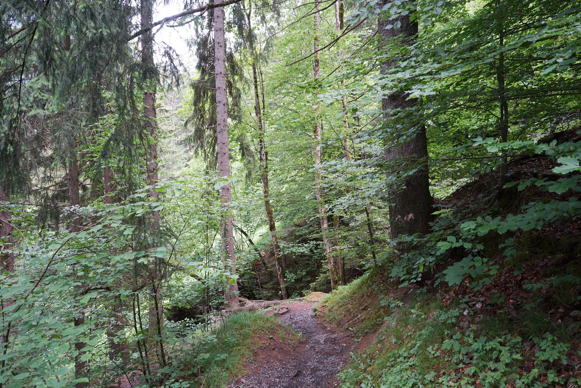
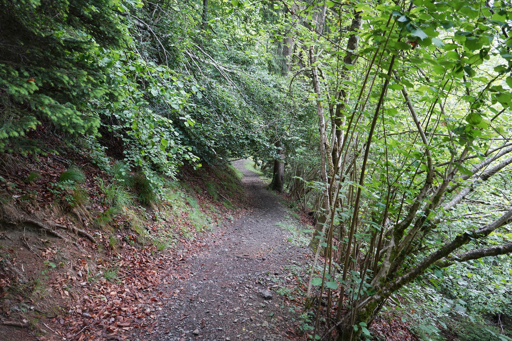
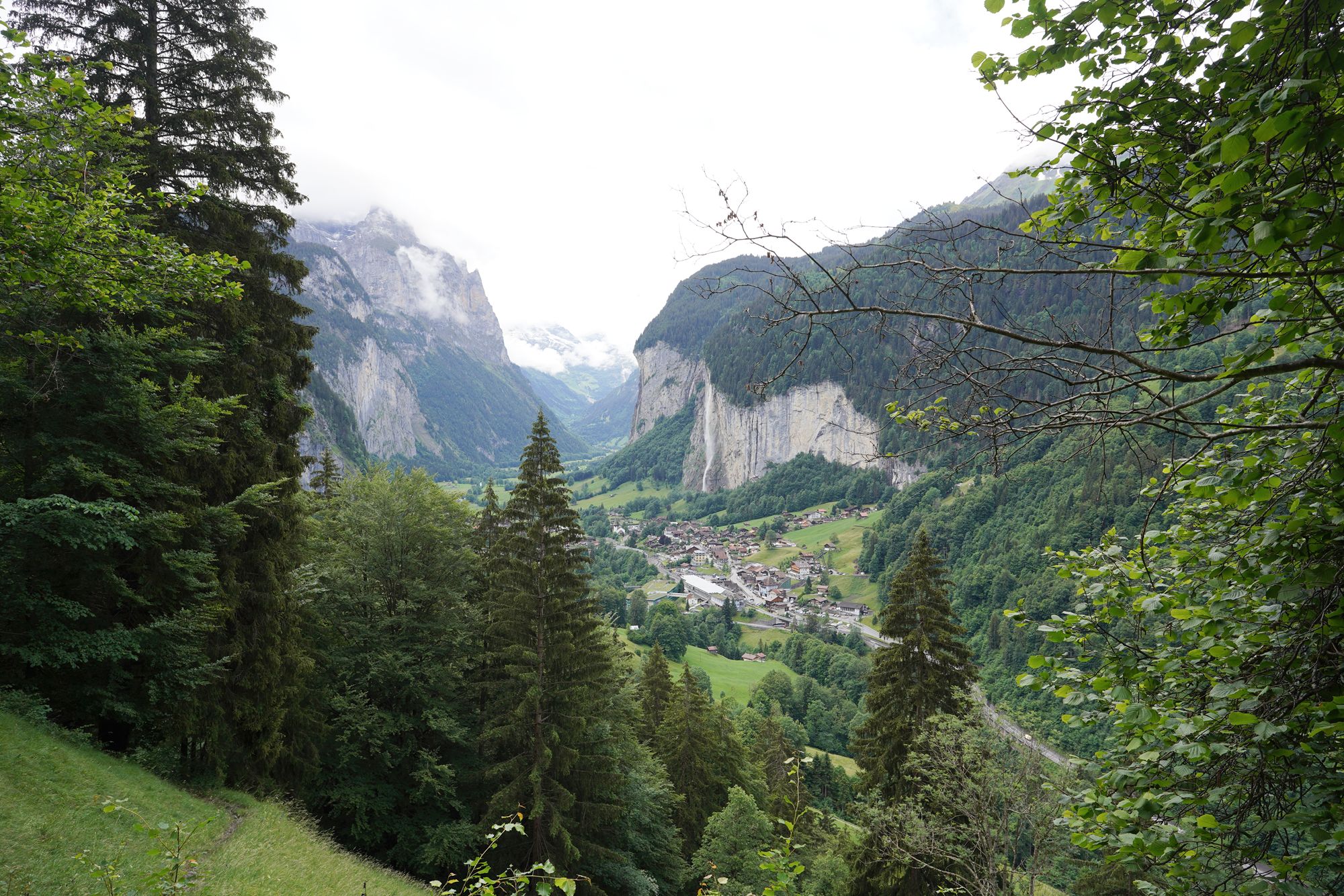
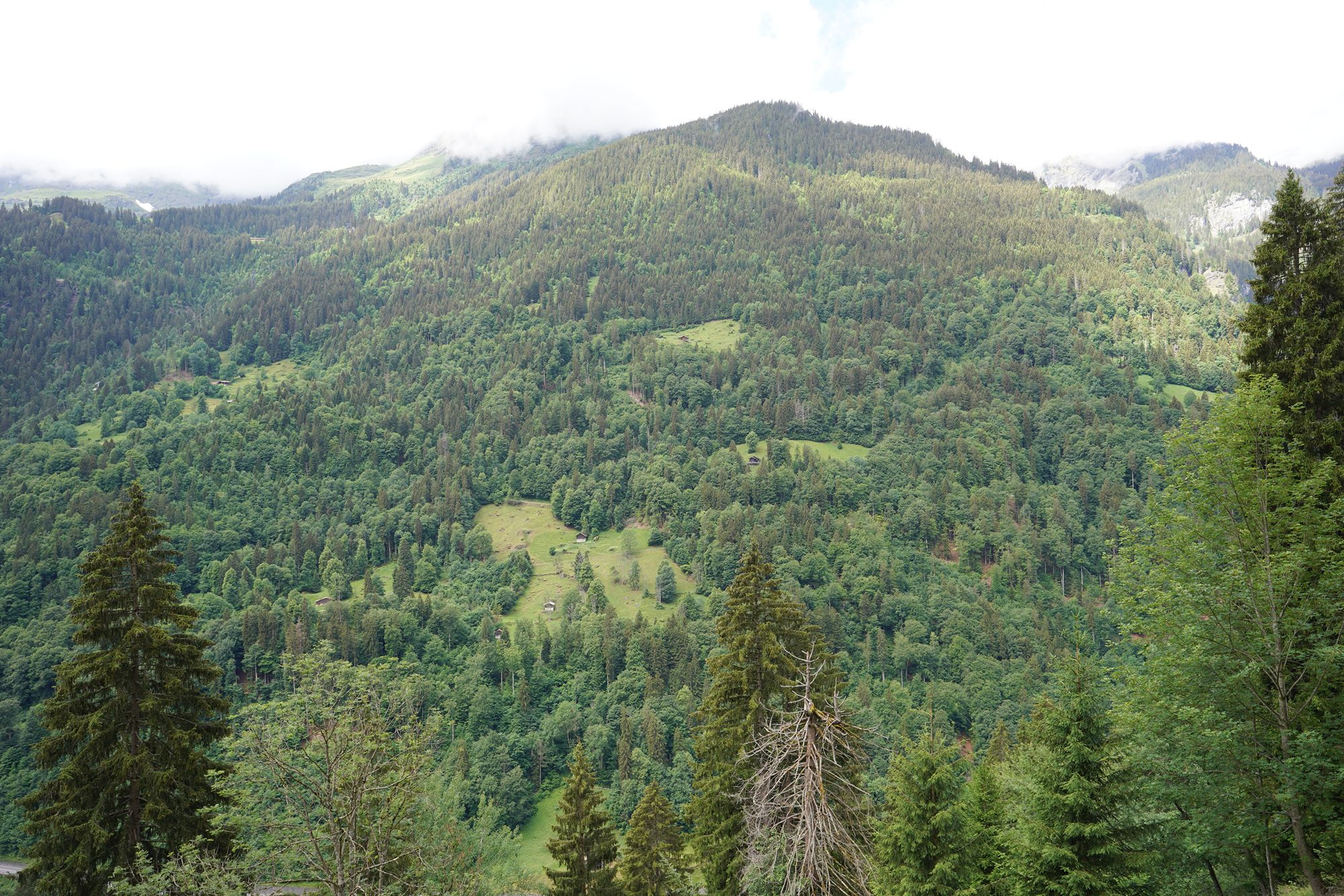
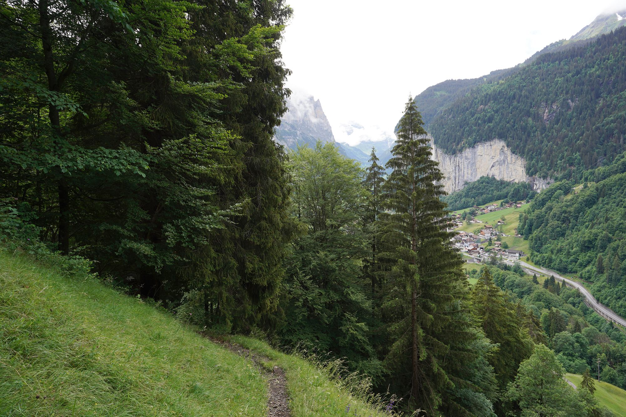
Another view behind me
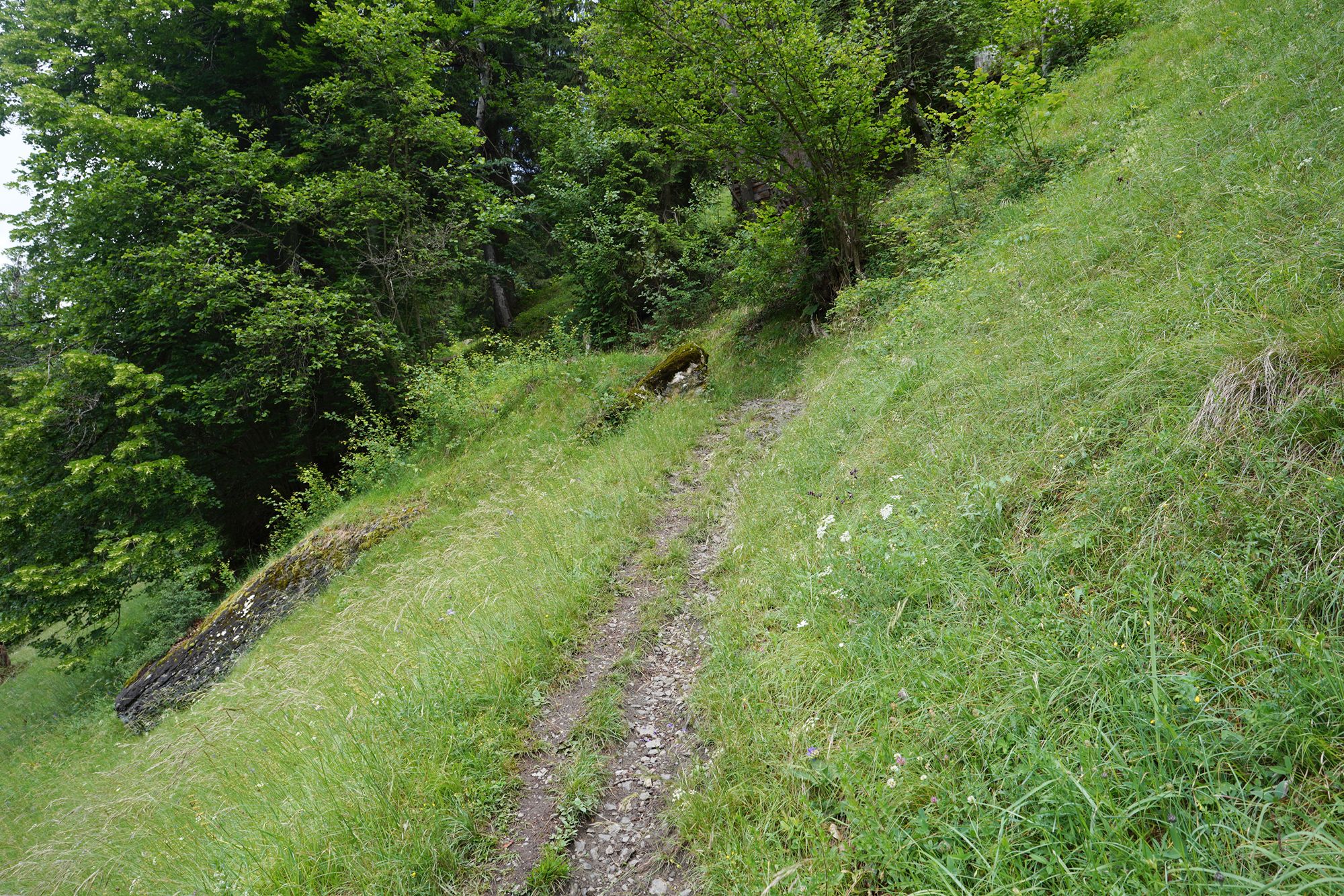
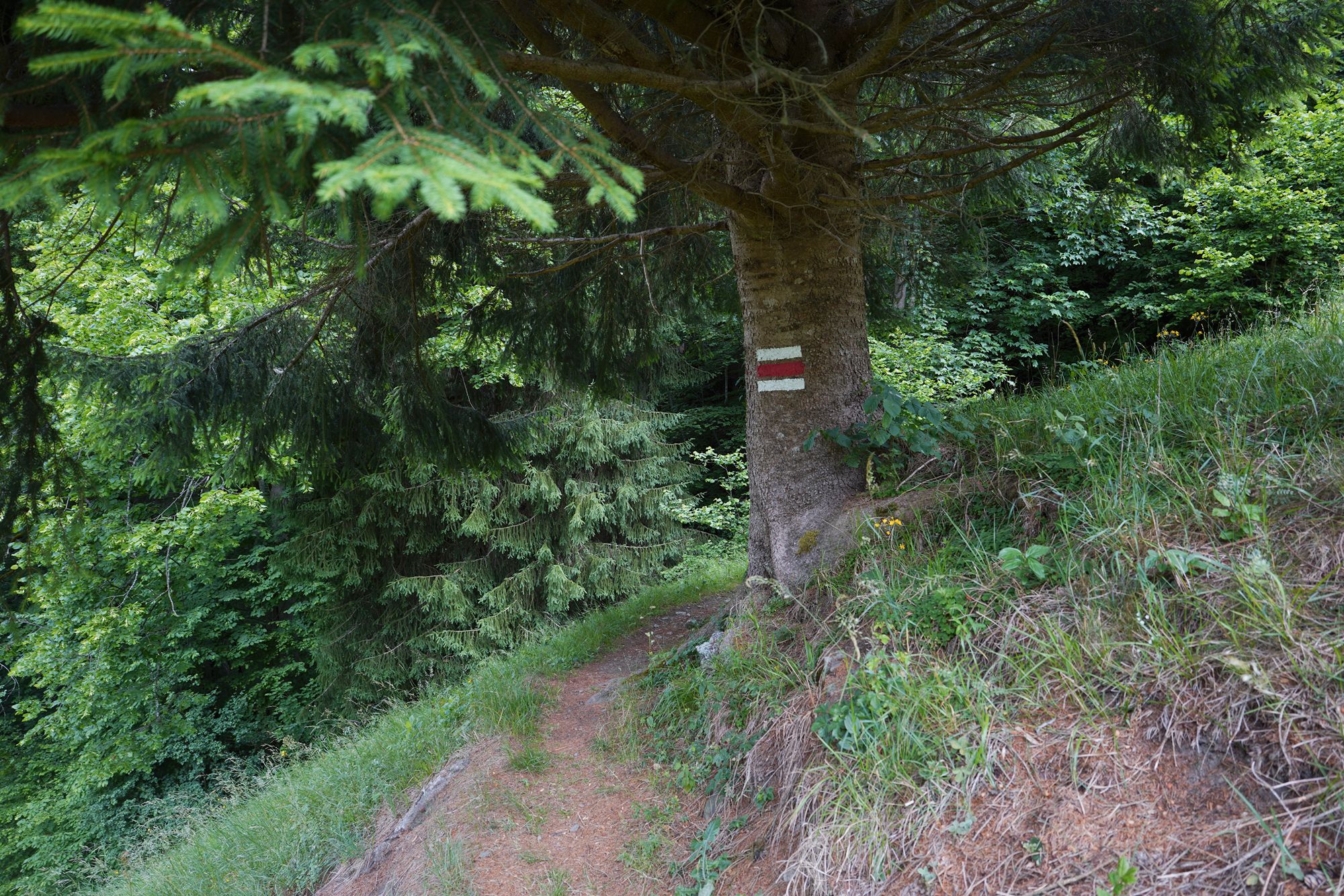
Another thing I noticed about this trail was how deserted it was. I did not see anyone else until I was almost at the end of the steep section.
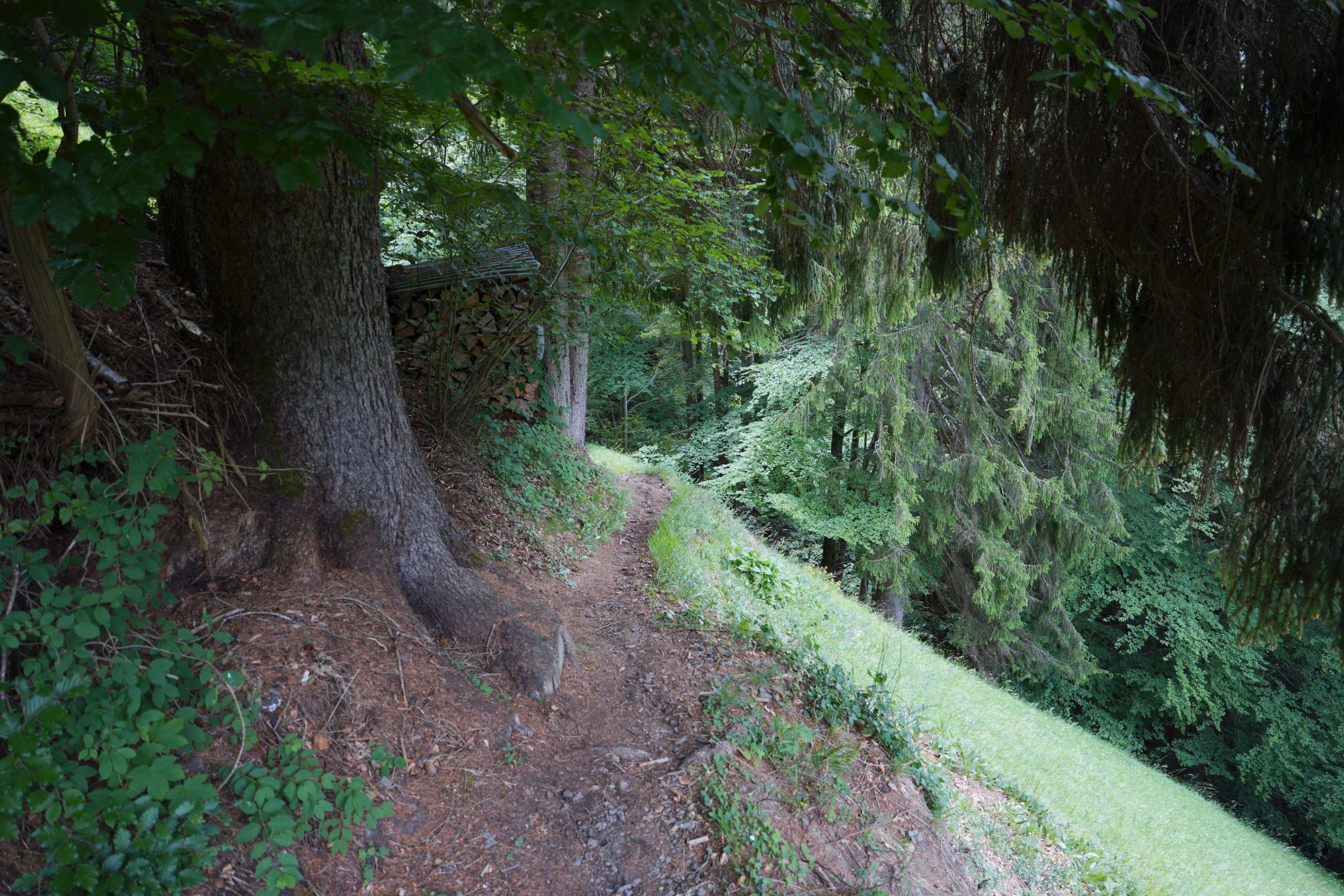
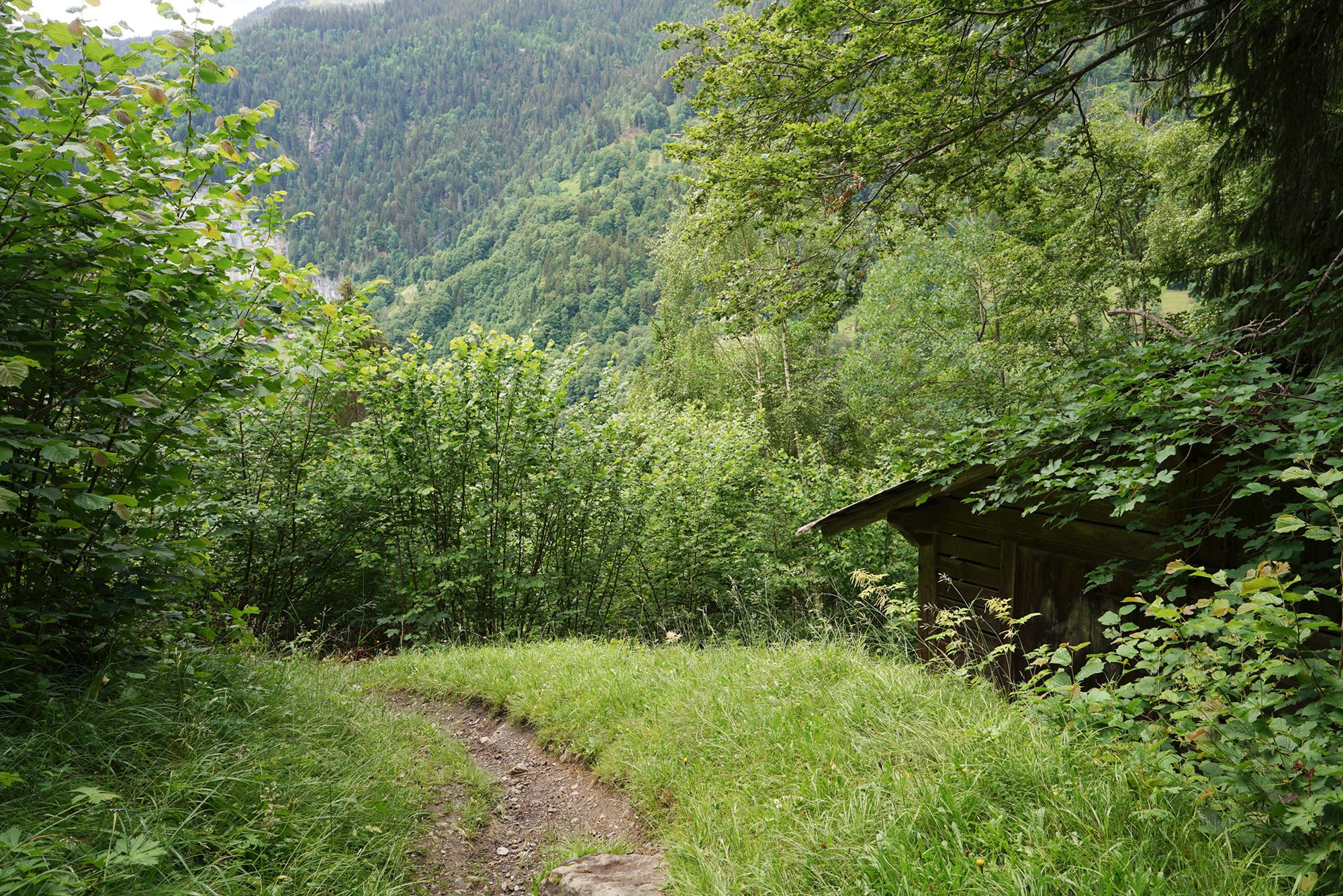
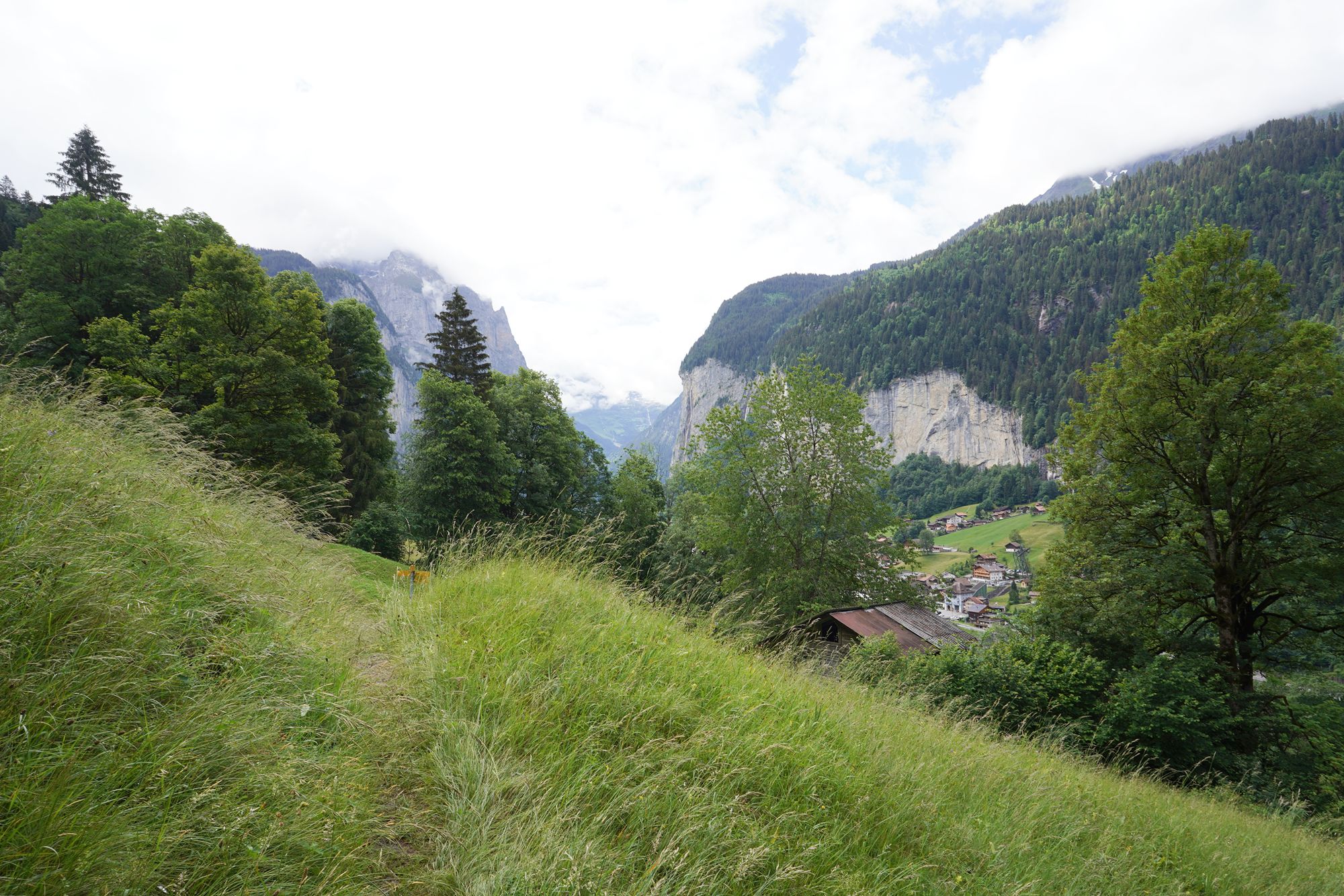
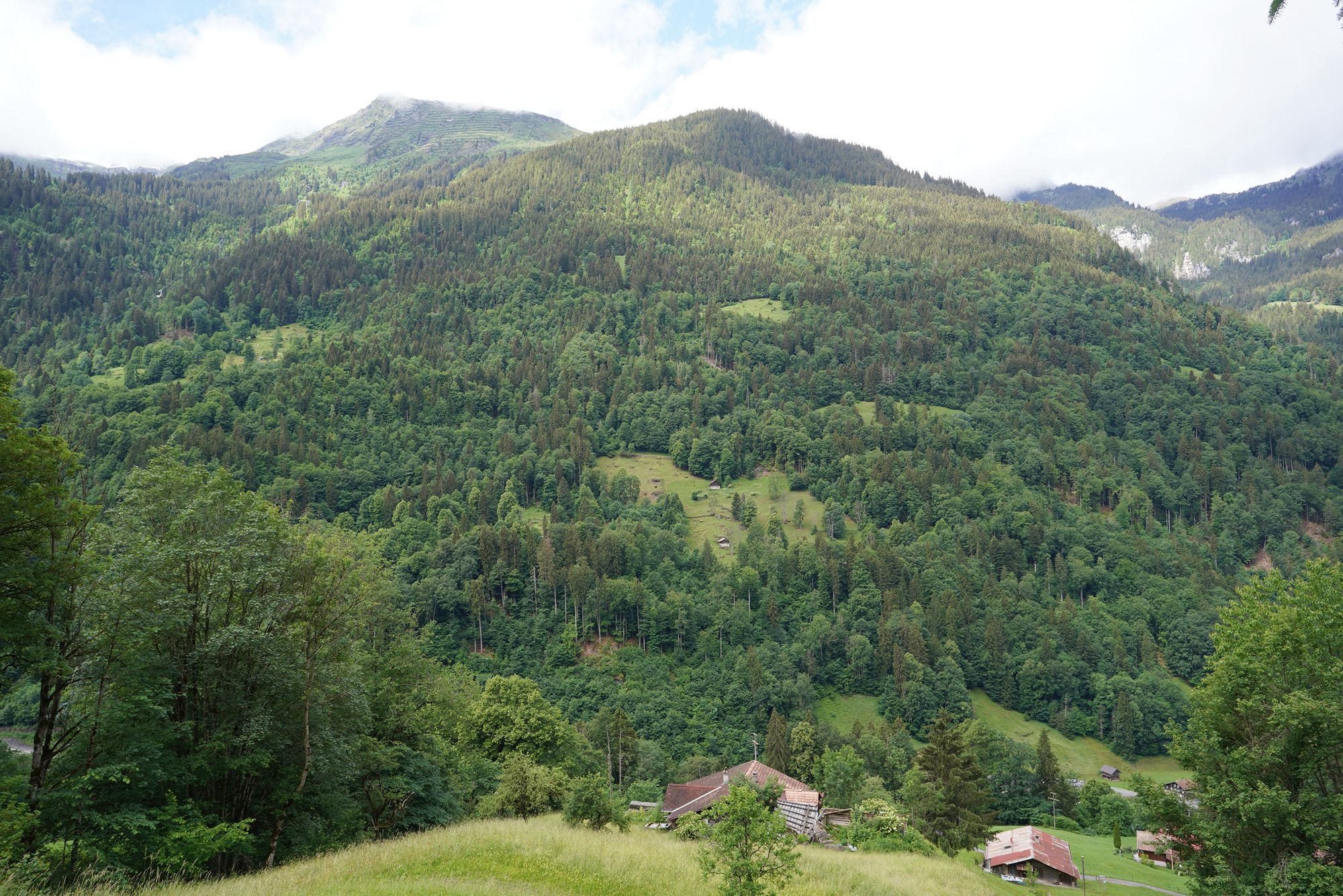
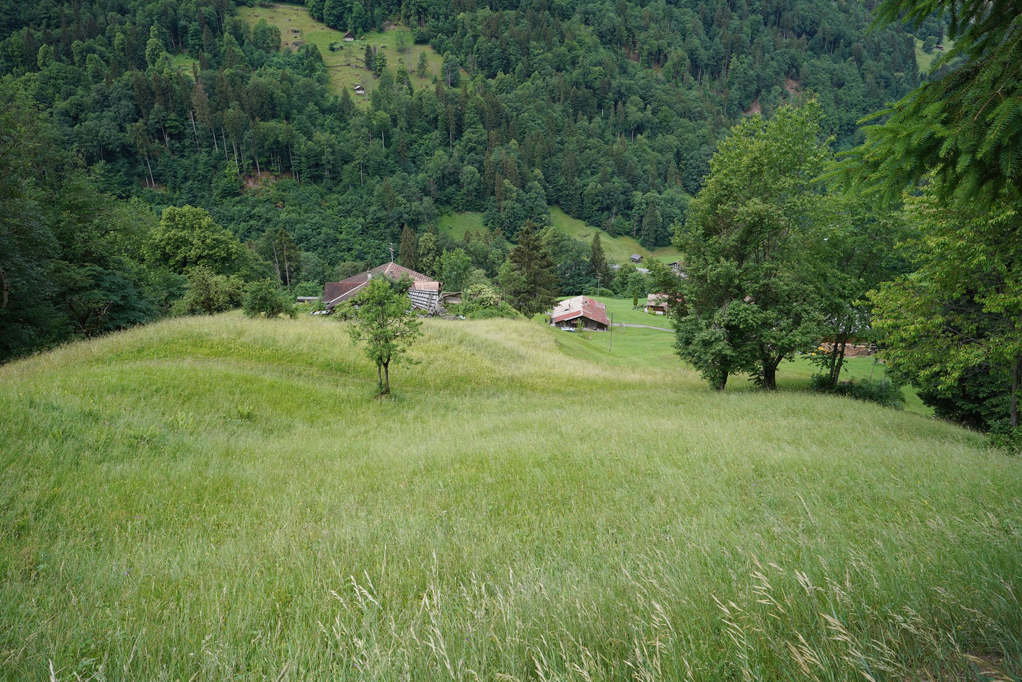
There was still more way to go downhill, but now I had reached a more open area with wider views of the surrounding mountains and valley.
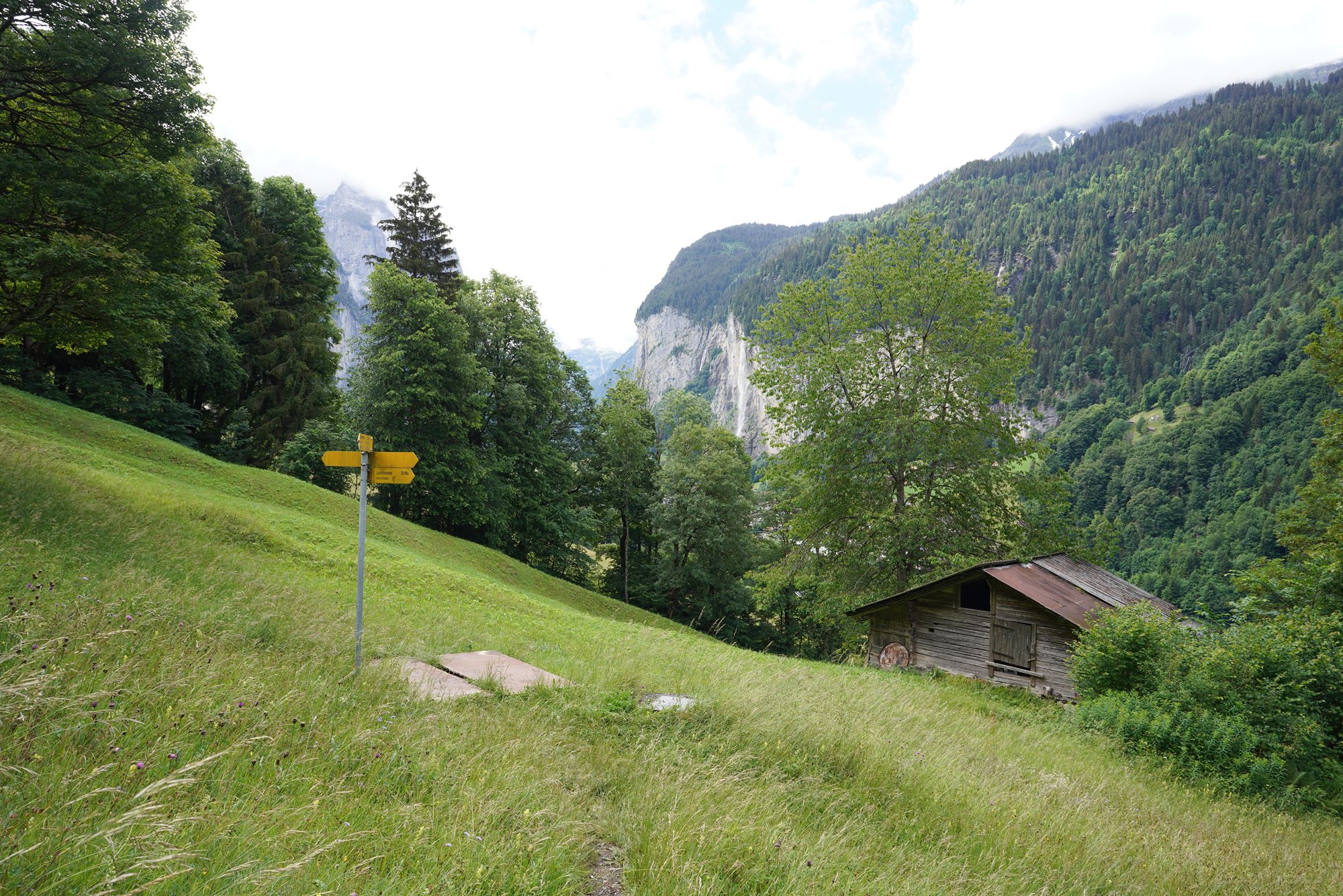
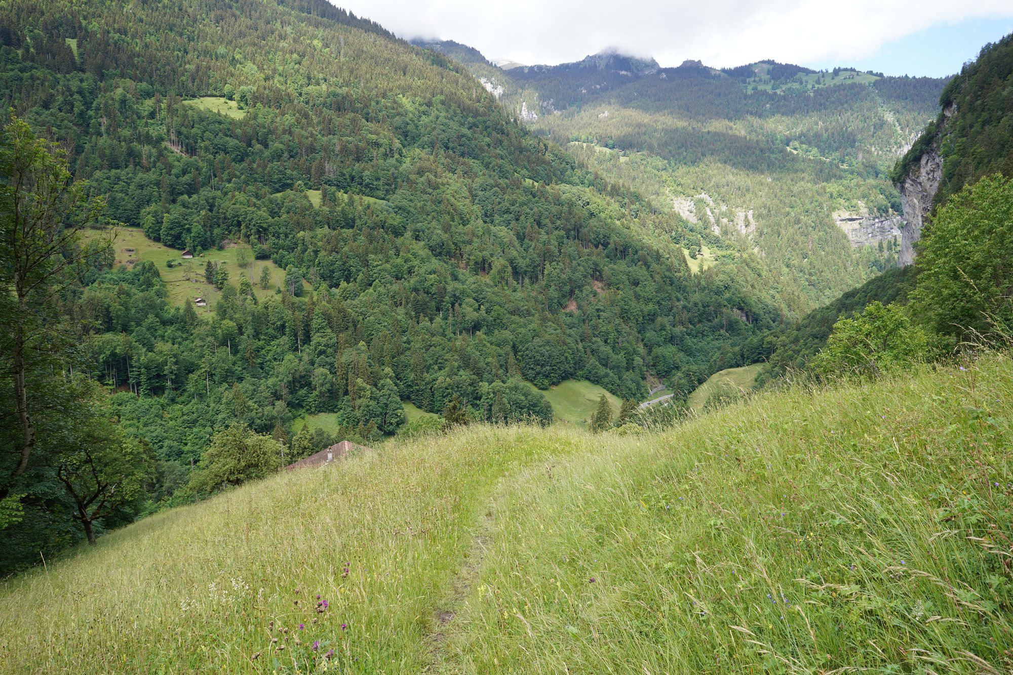
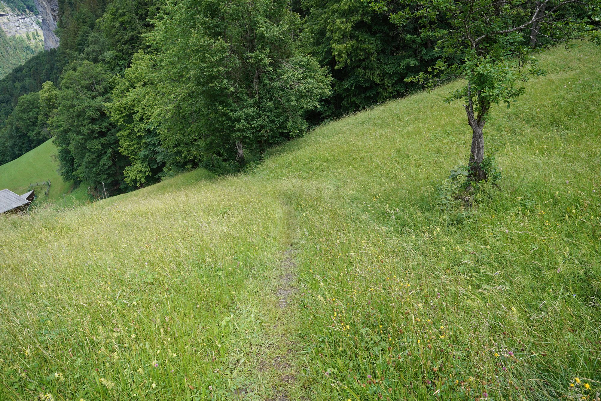
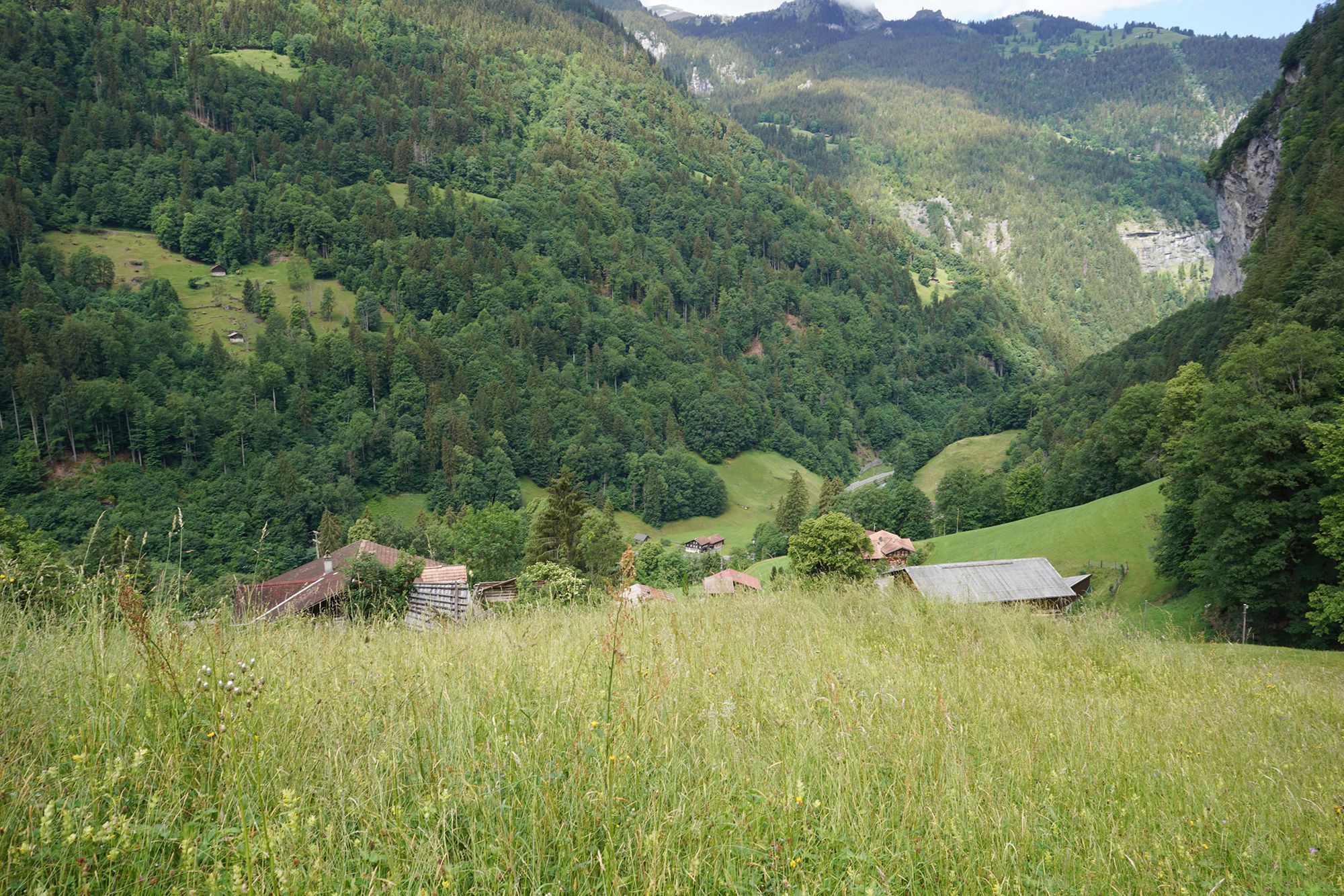
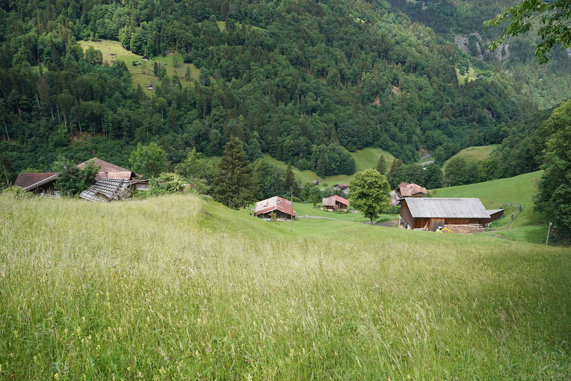
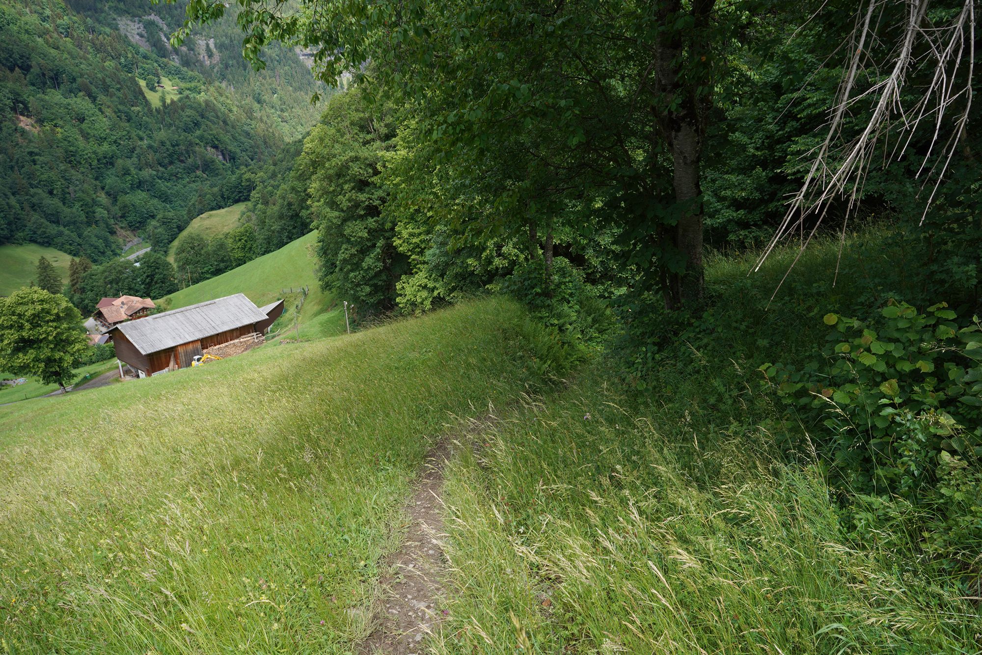
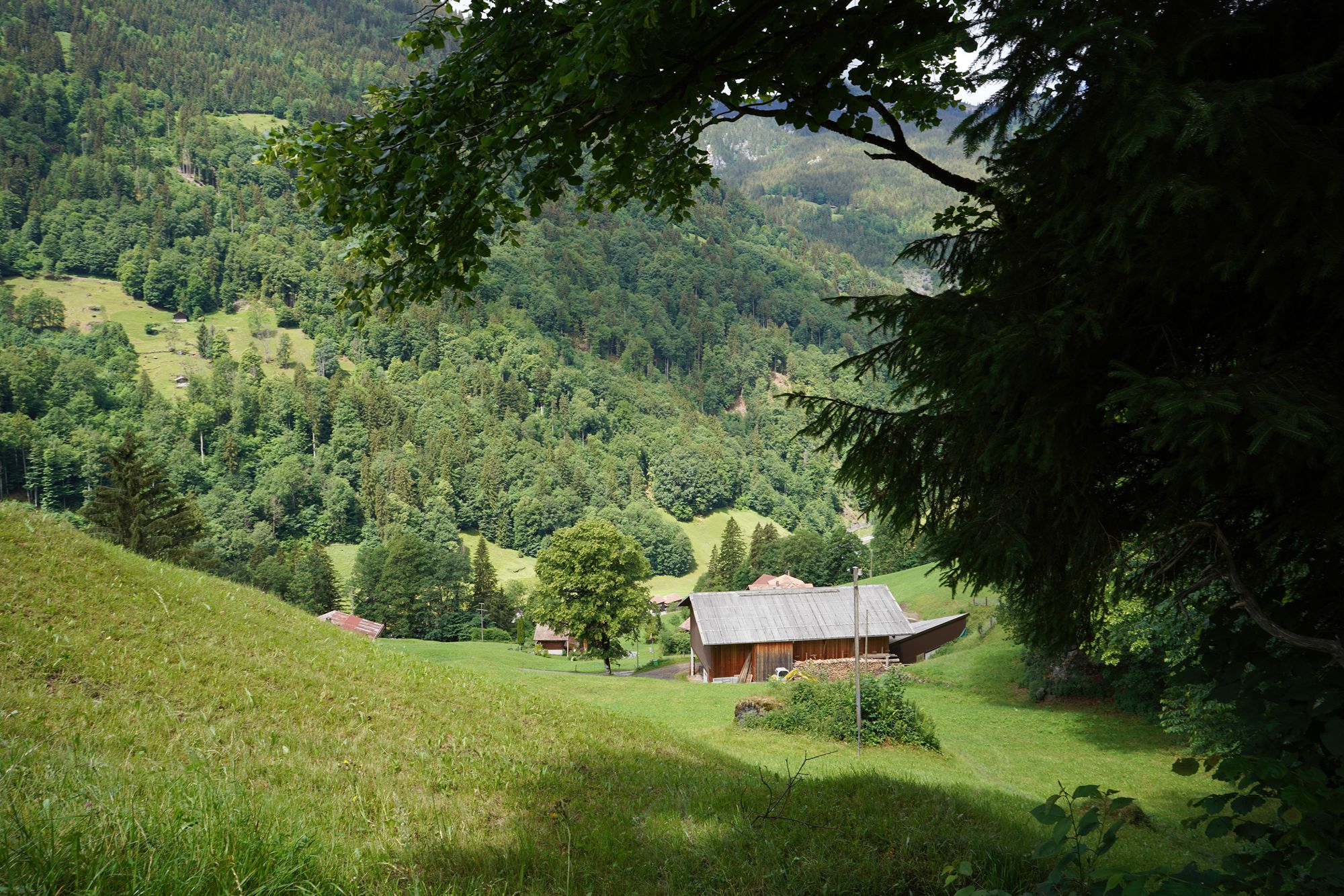
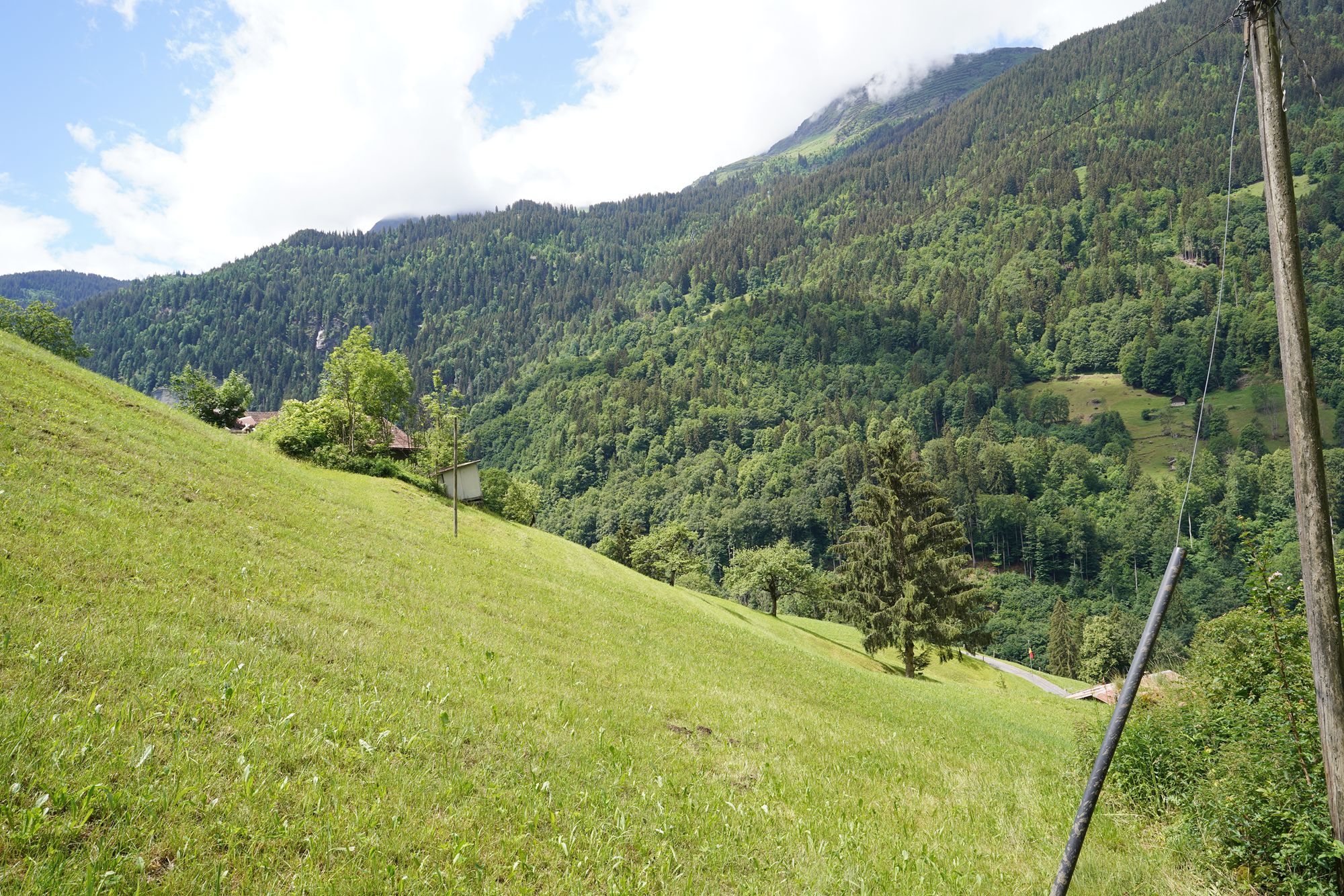
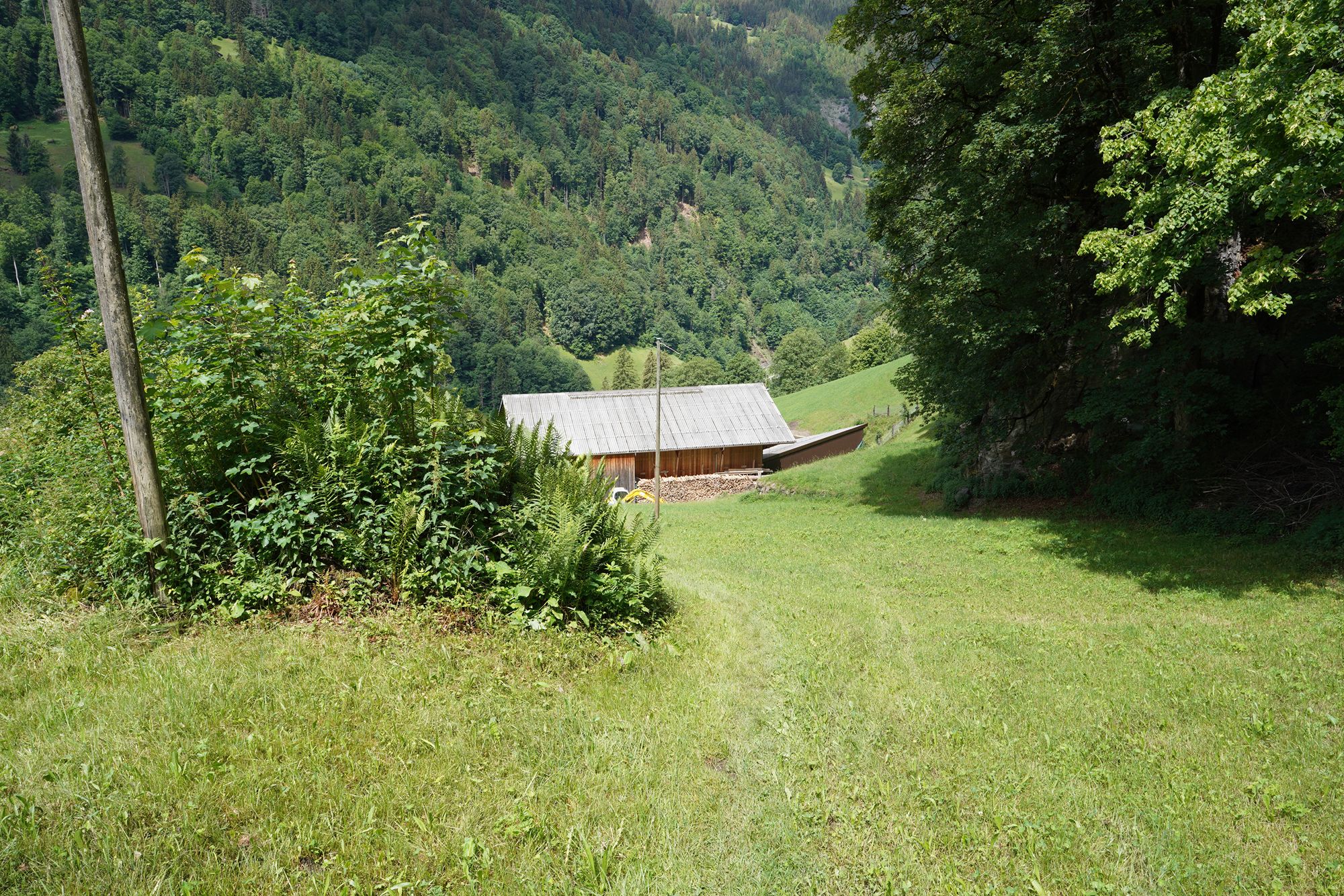
I was almost at the end of the steep section, and the trail was finally about to join a paved road again.
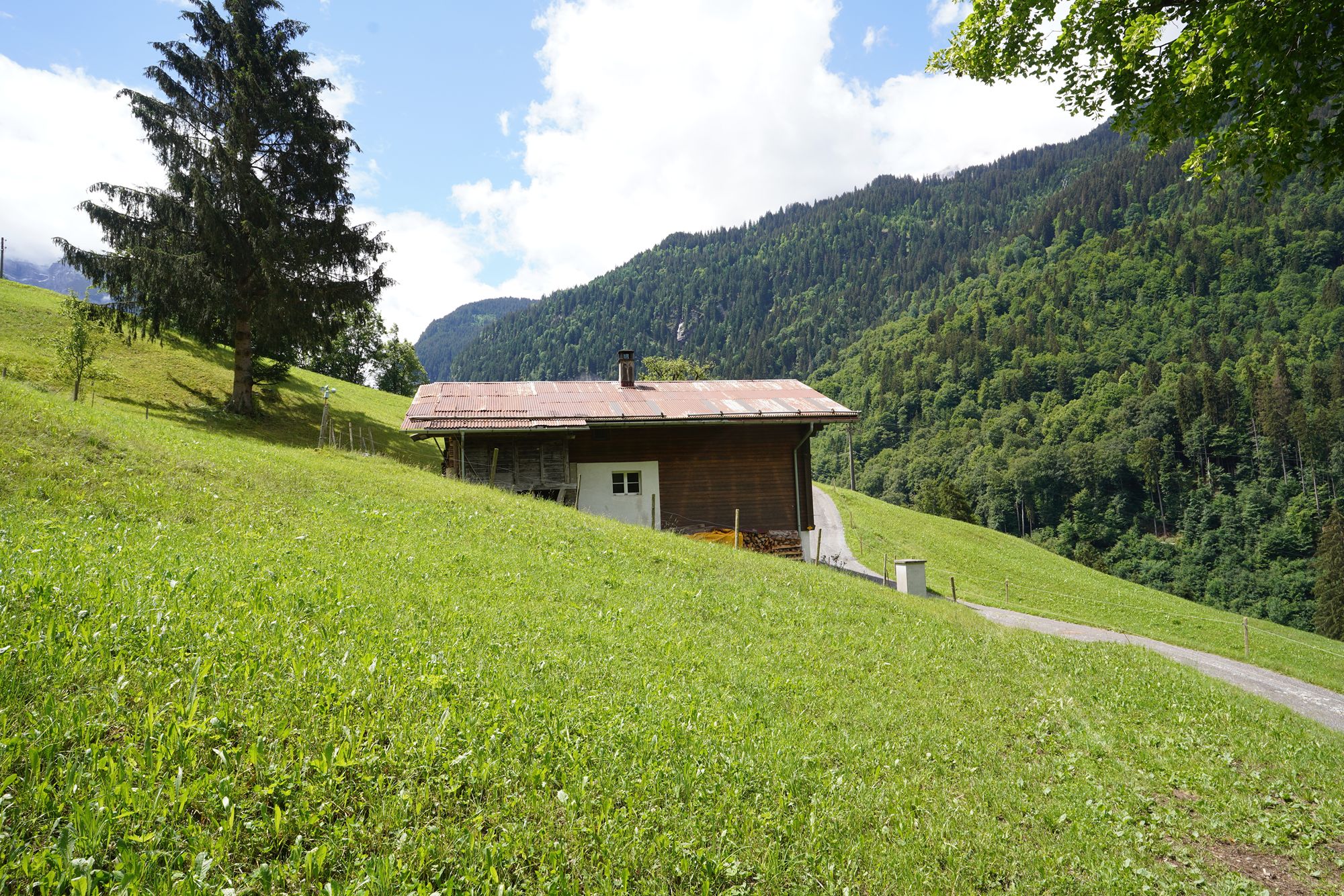
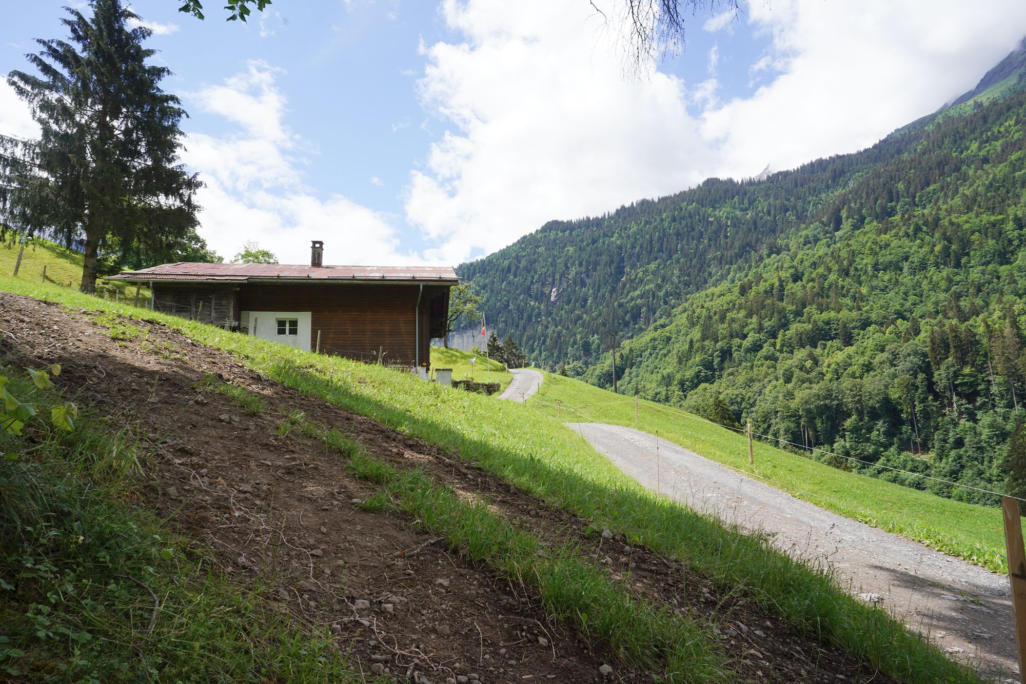
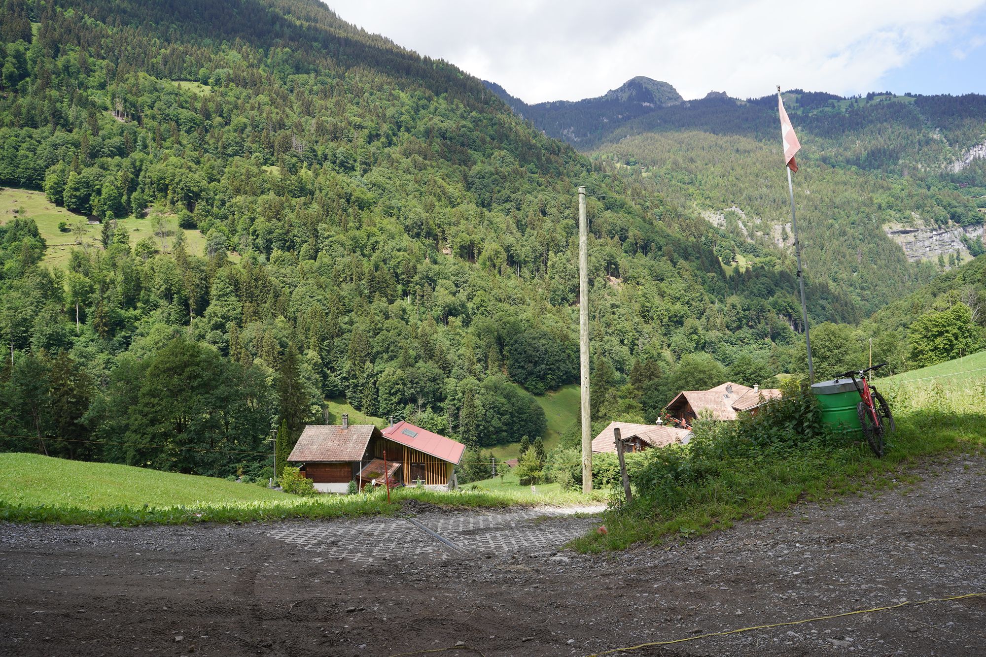

Back on the paved road again, I could finally relax a little more and enjoy the beautiful scenery around me.
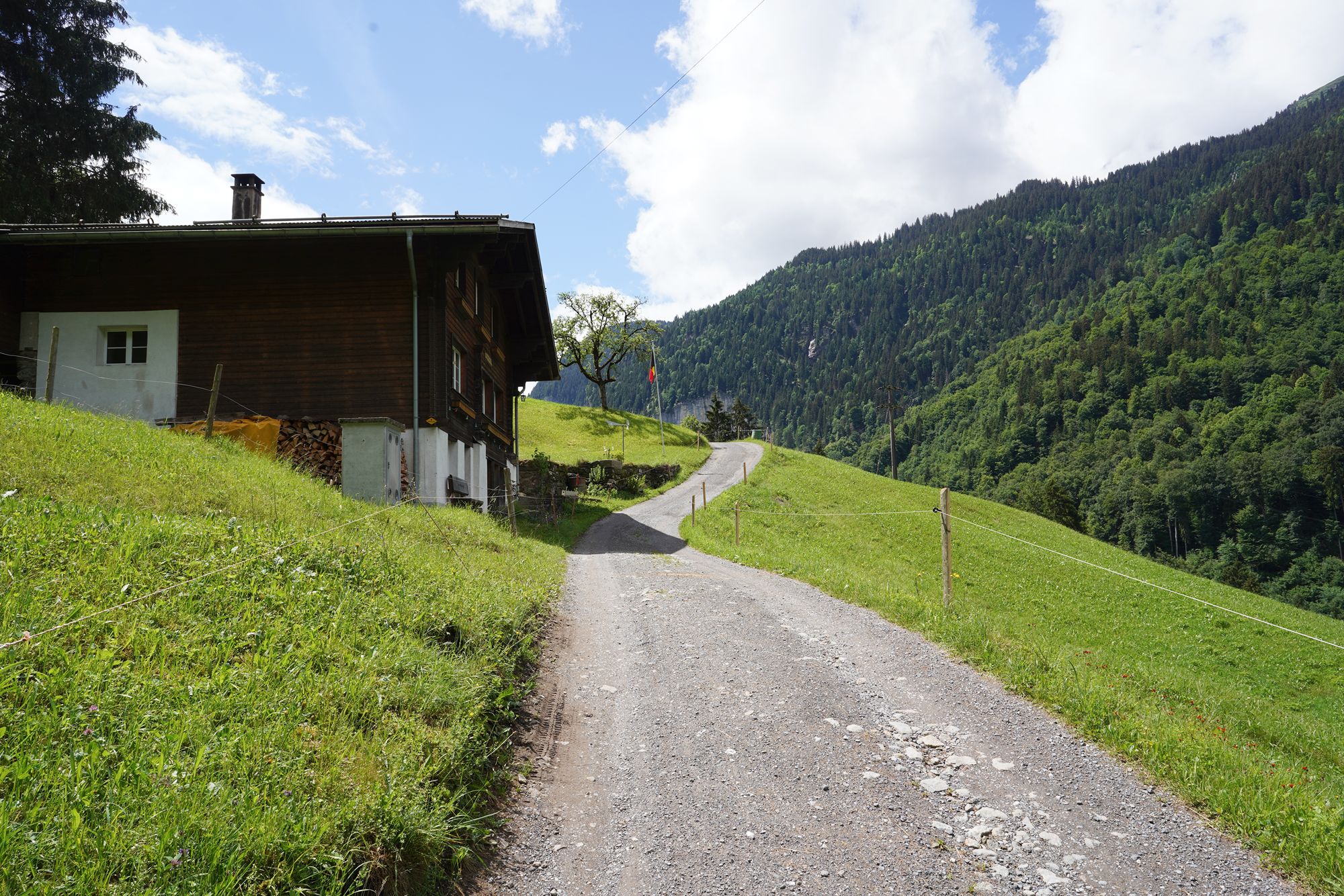
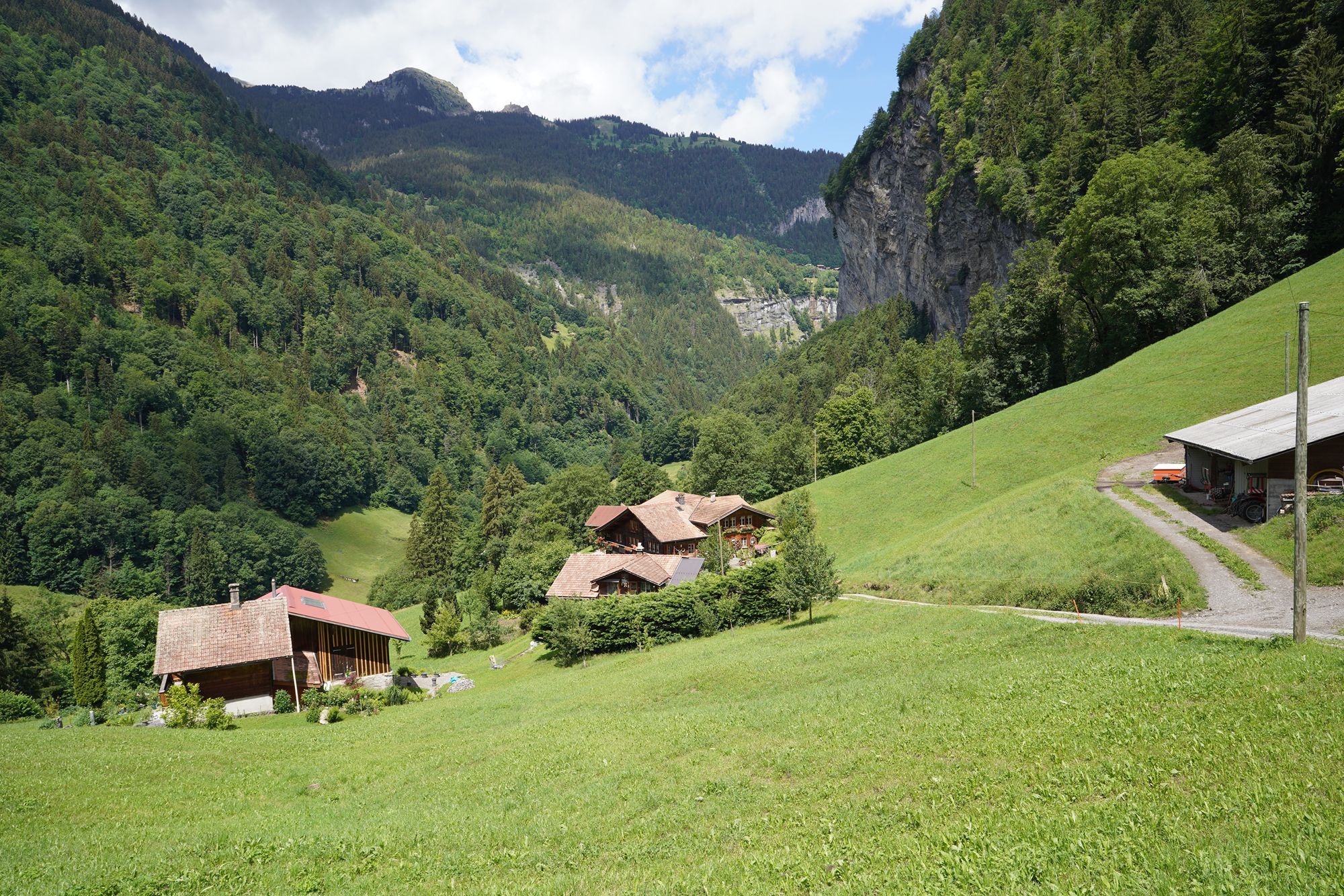
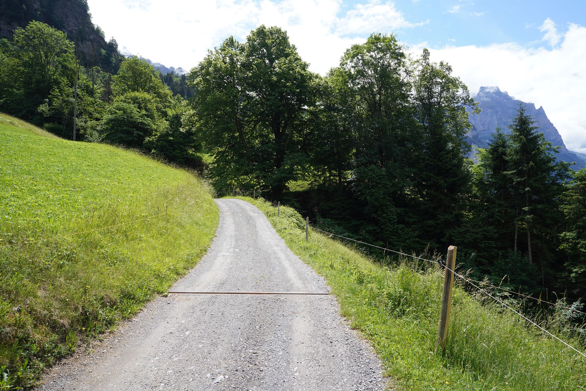
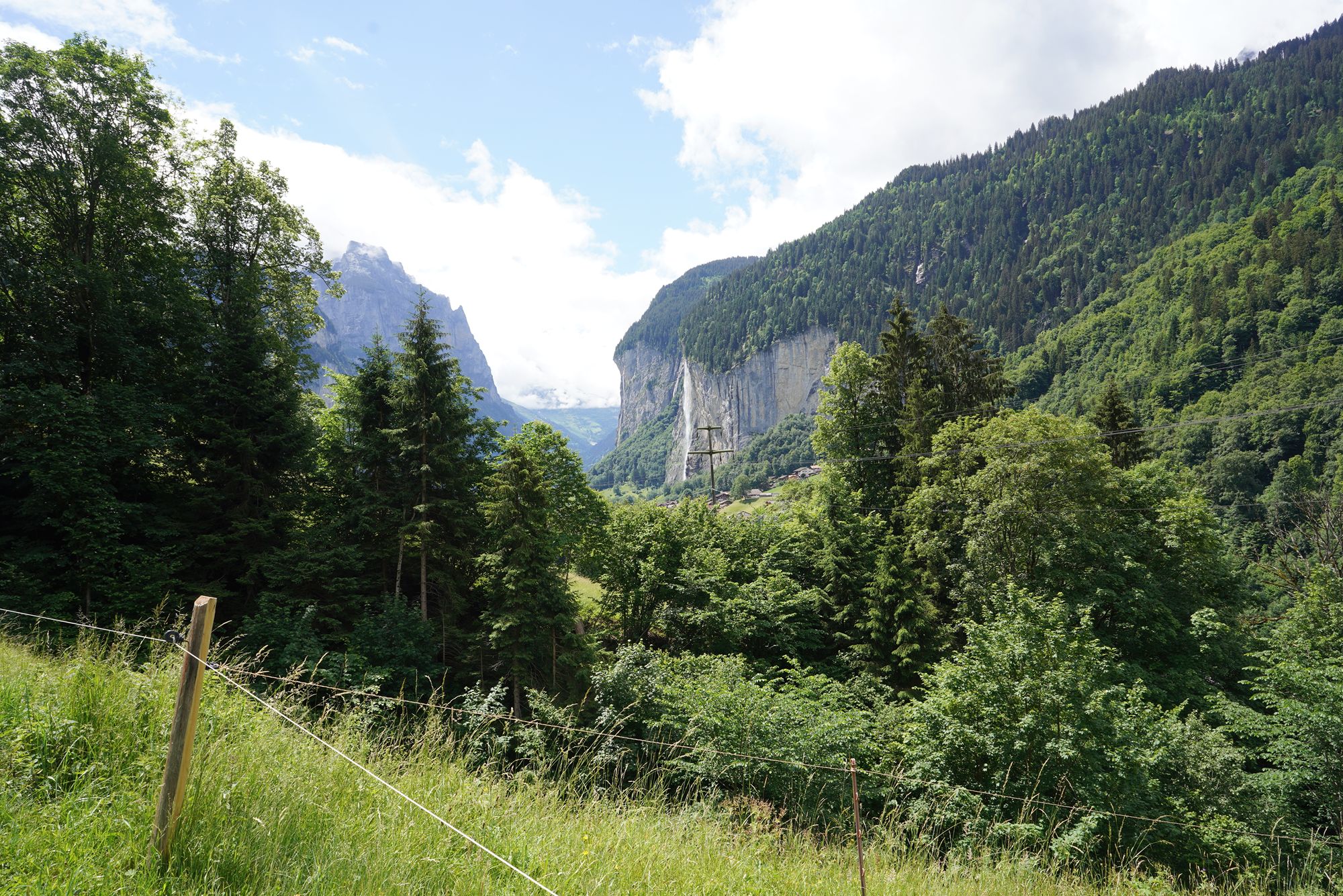
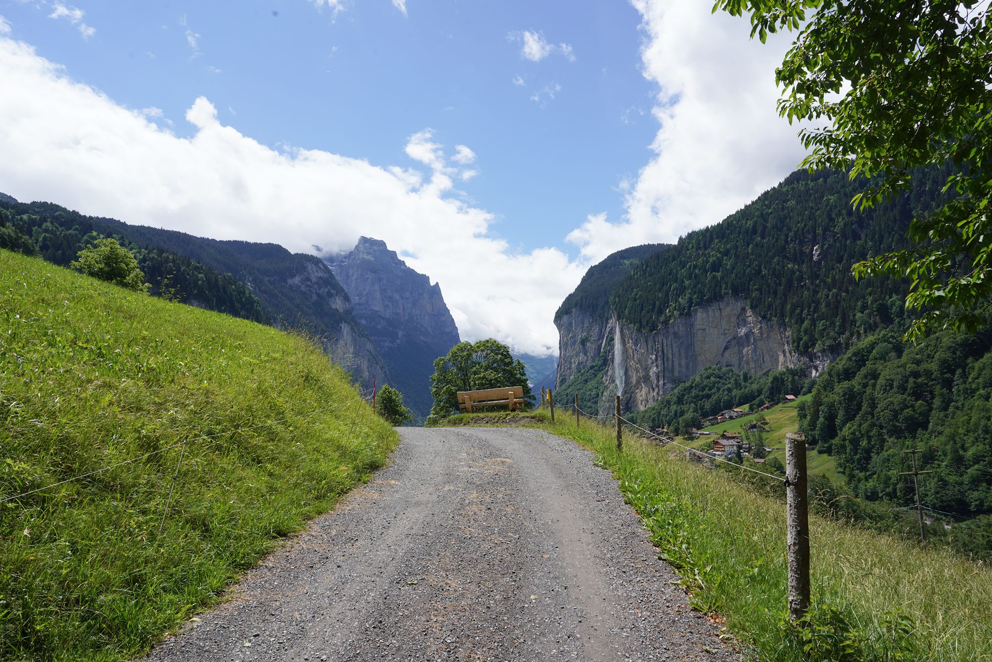
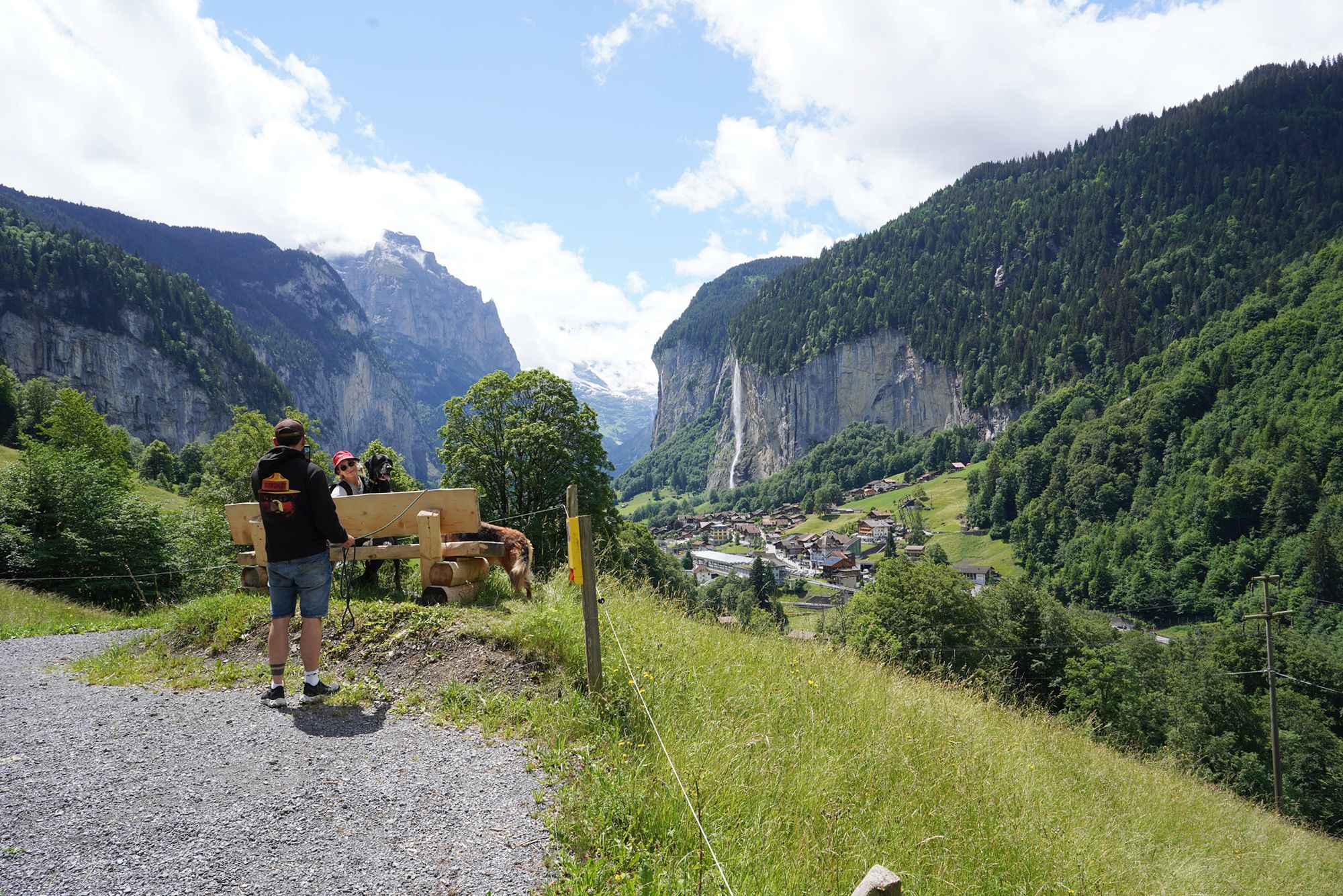
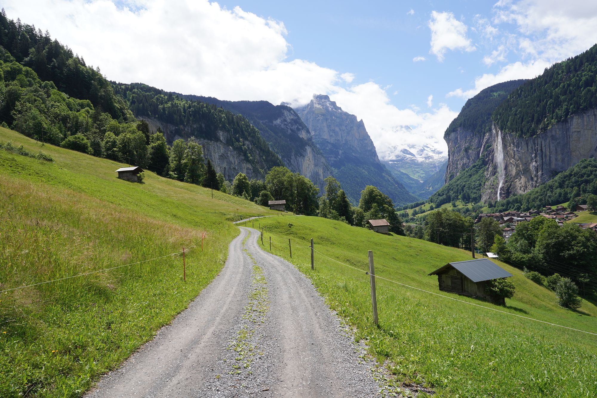
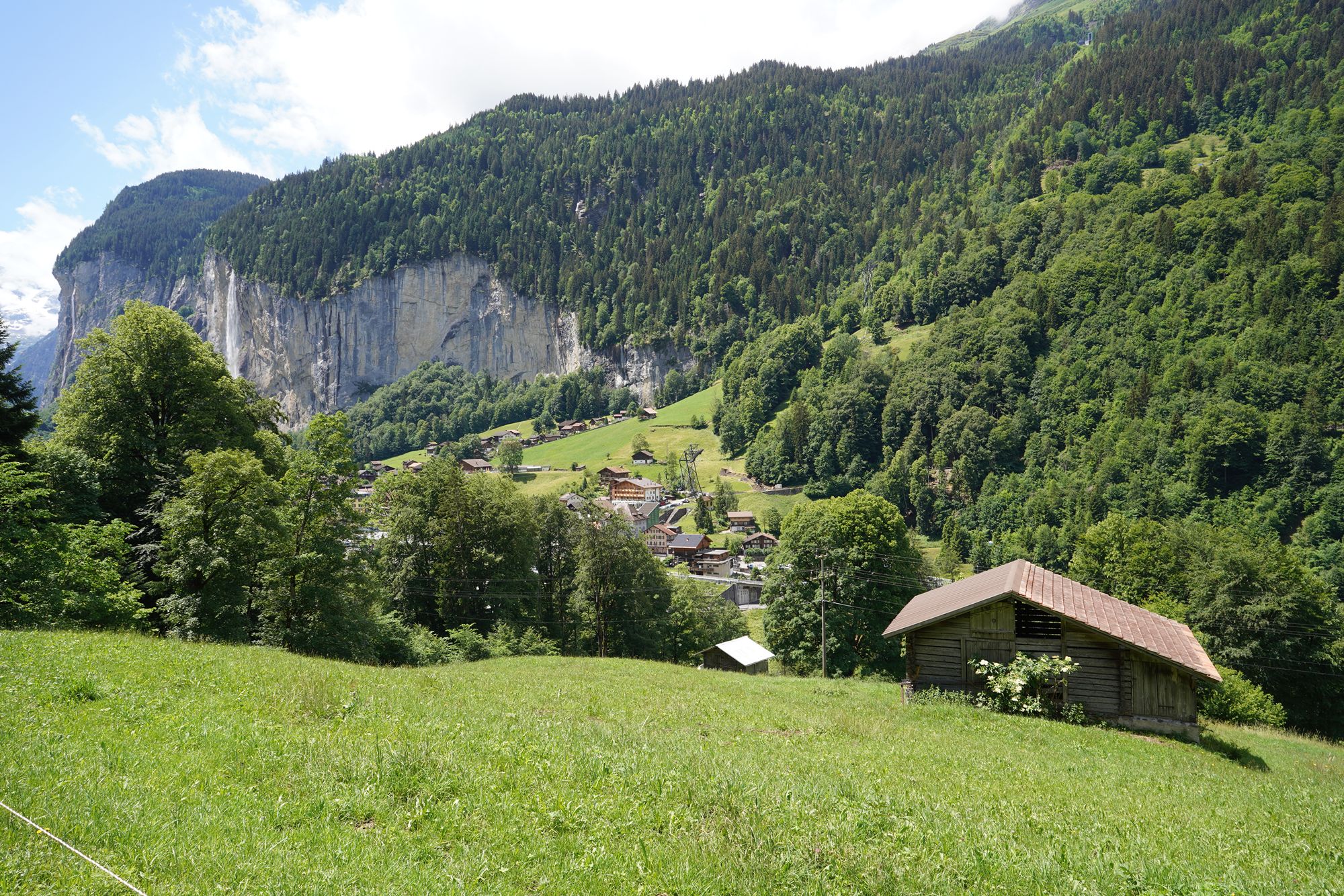
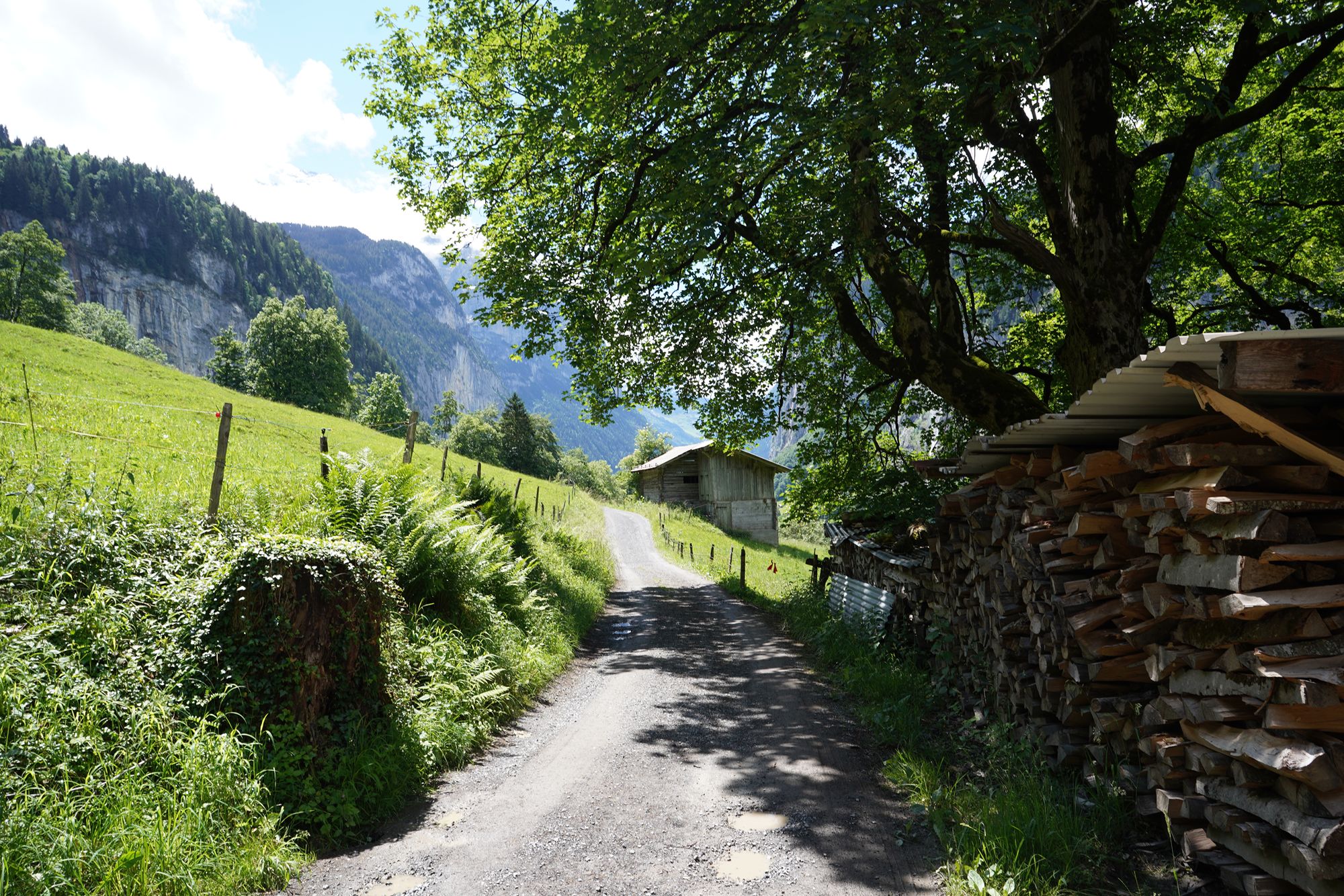
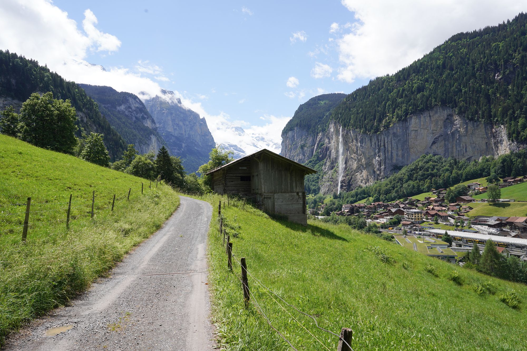
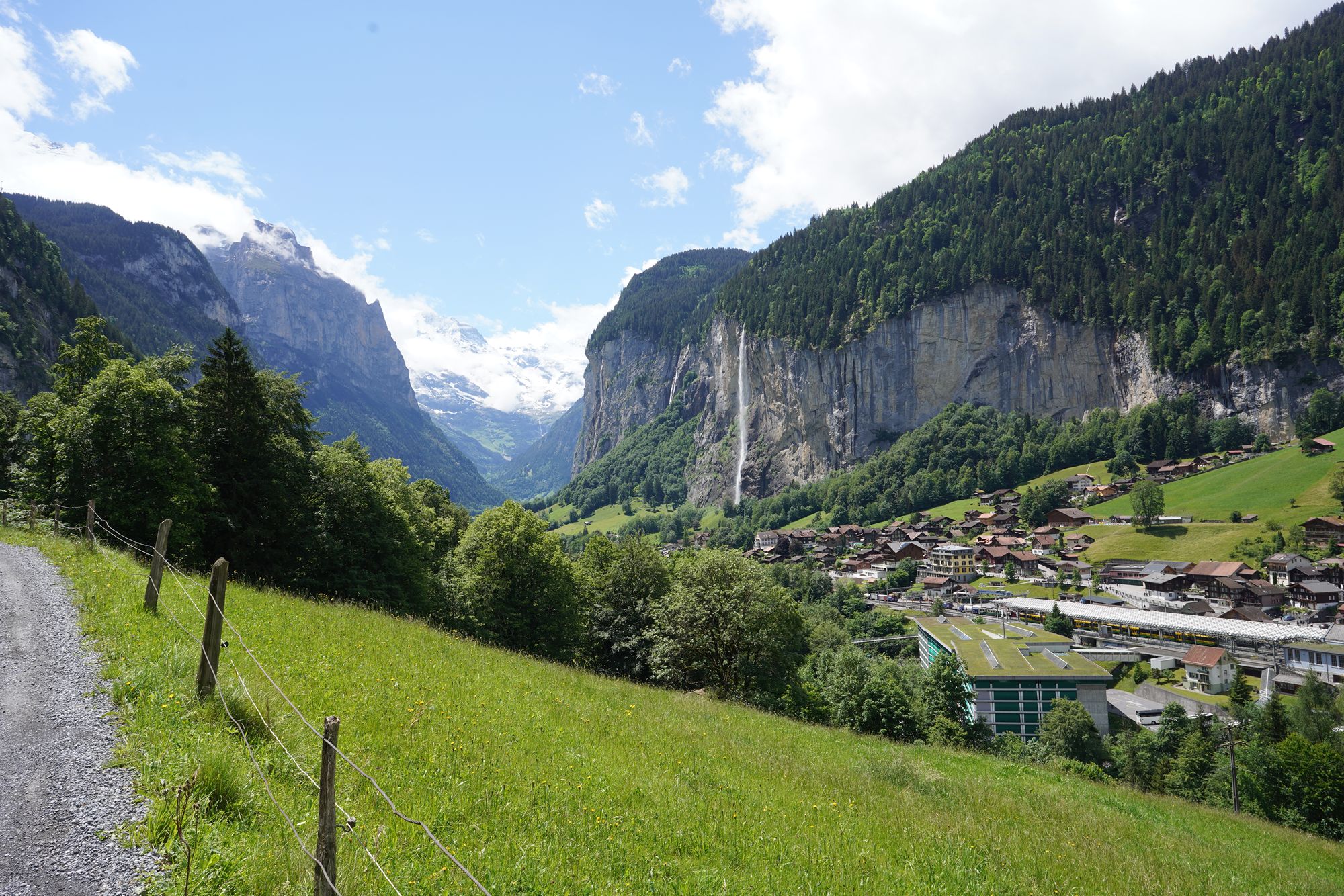
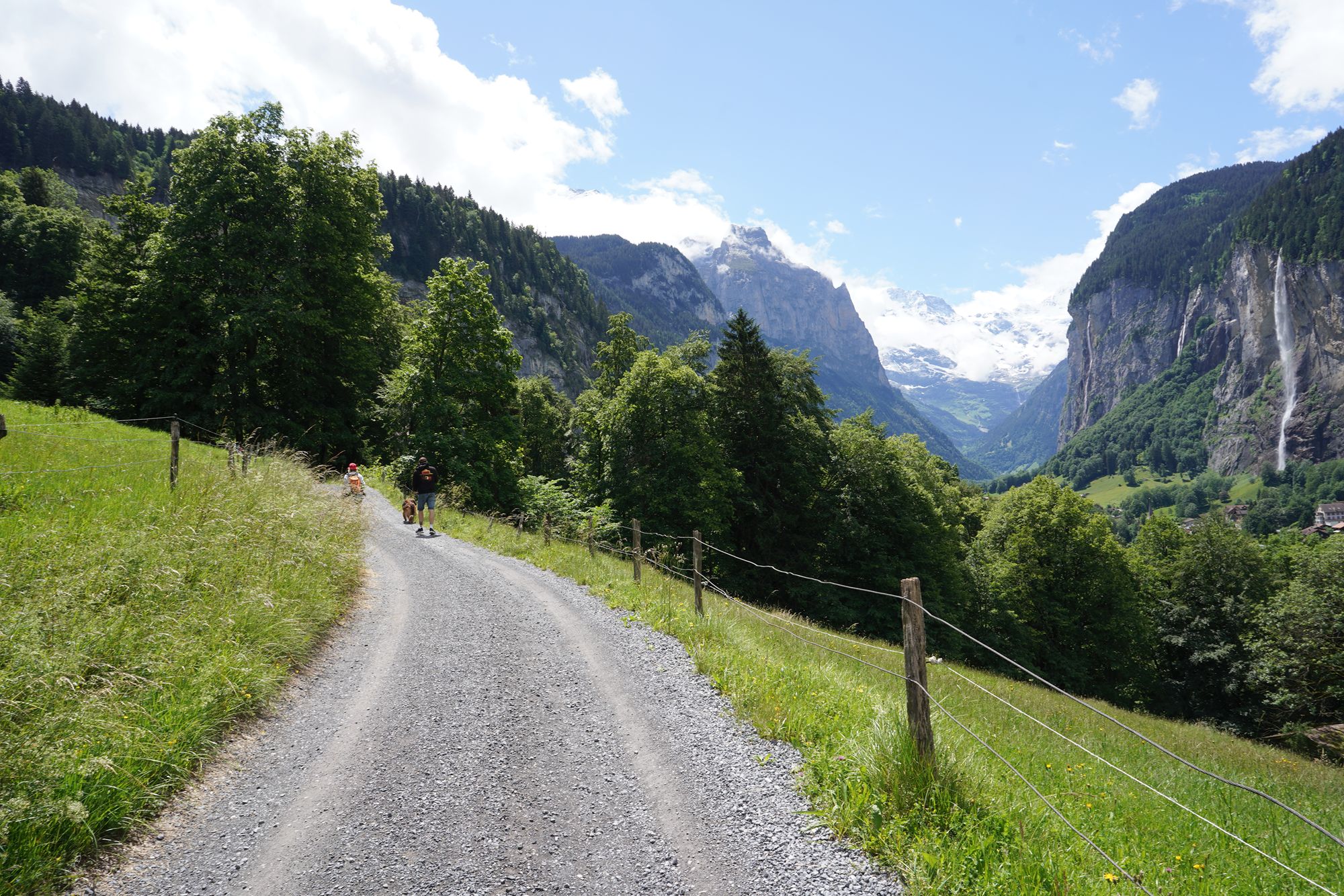
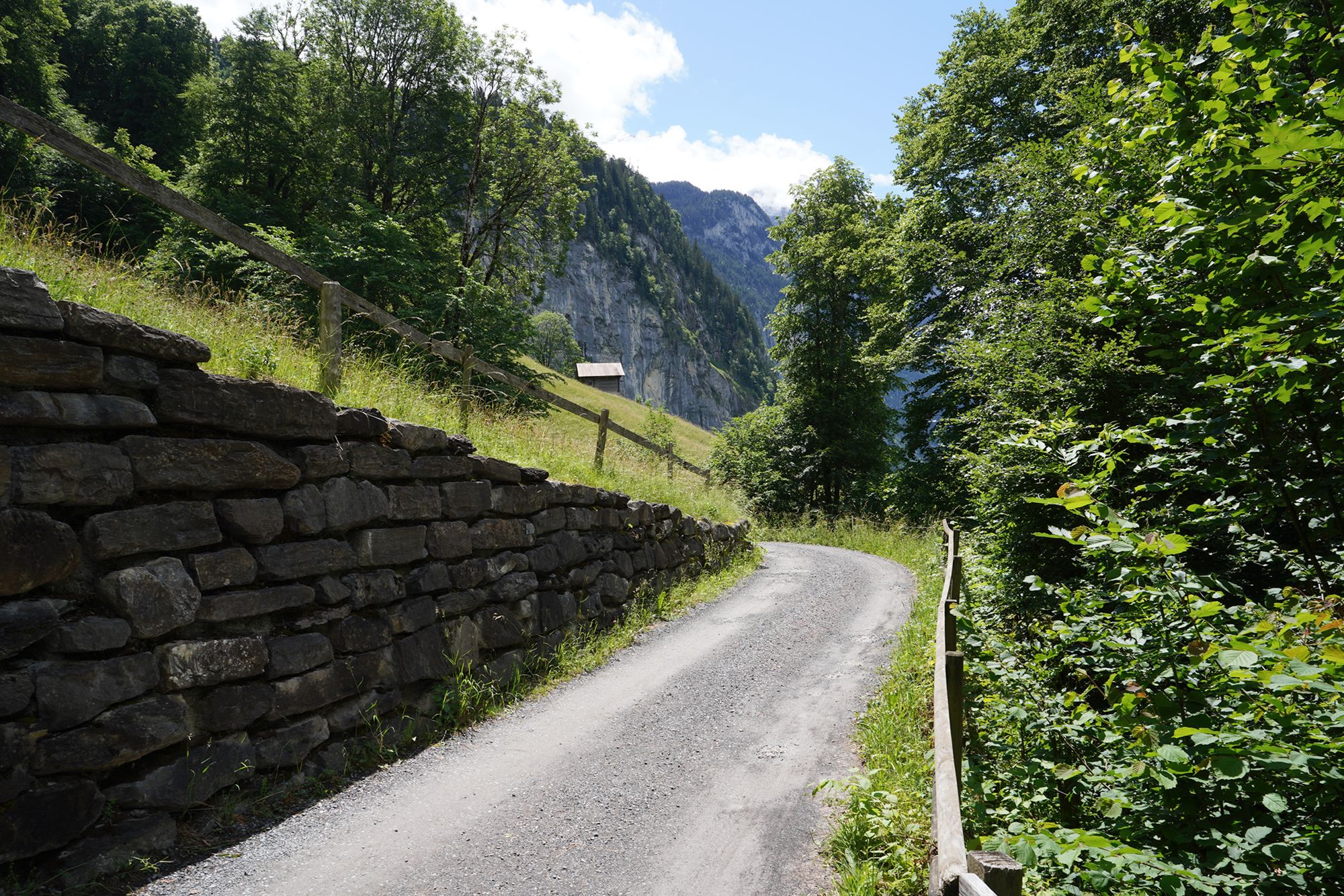
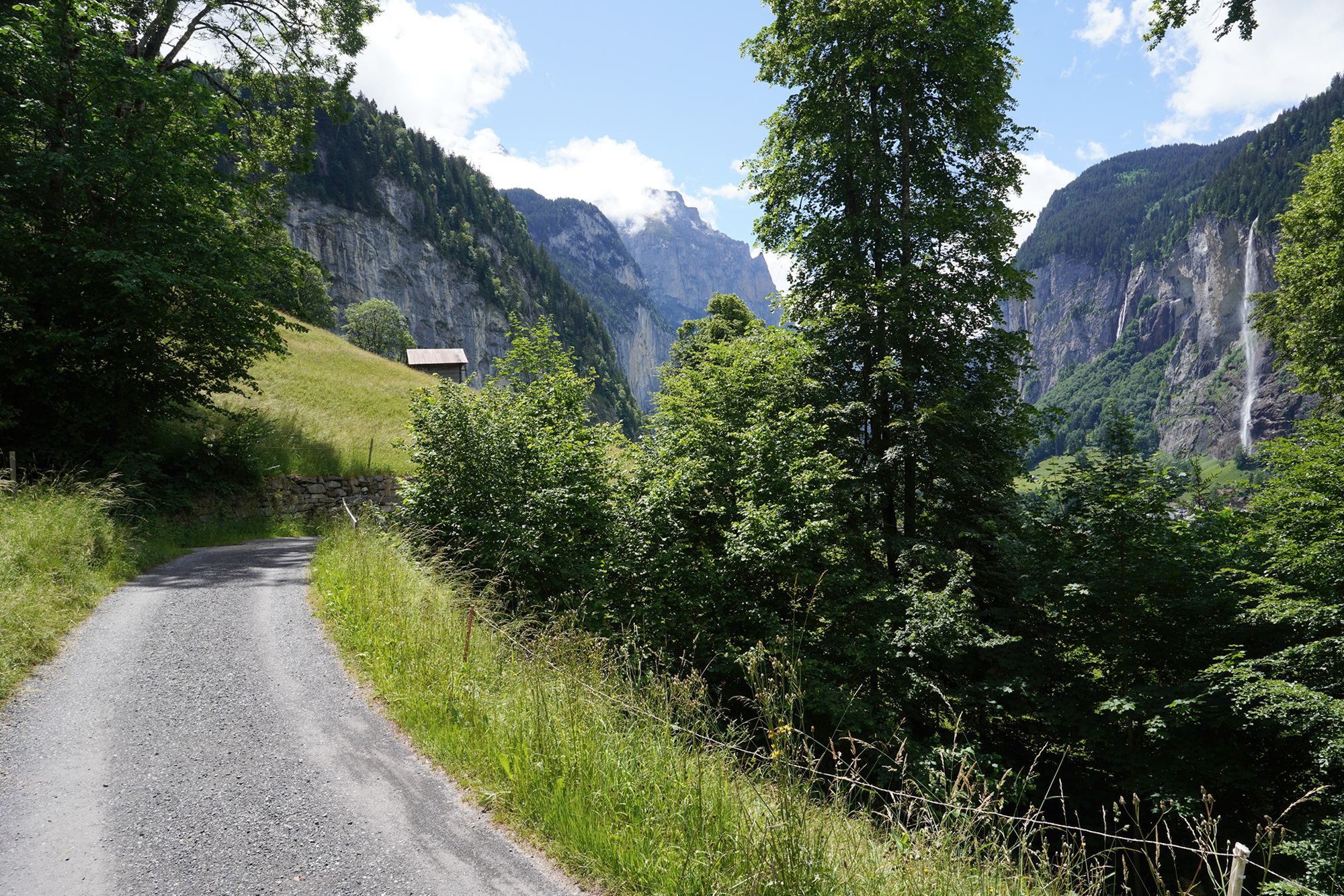
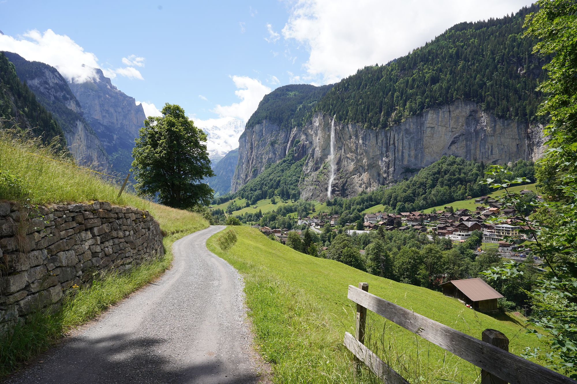
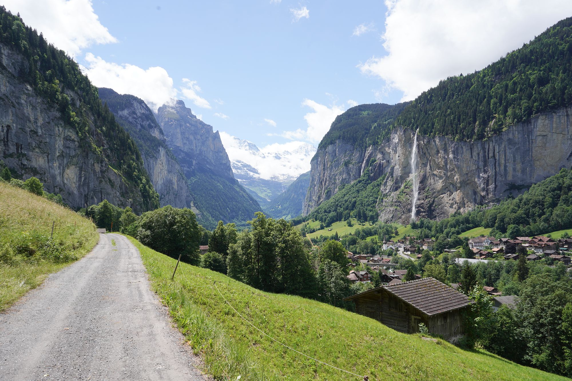
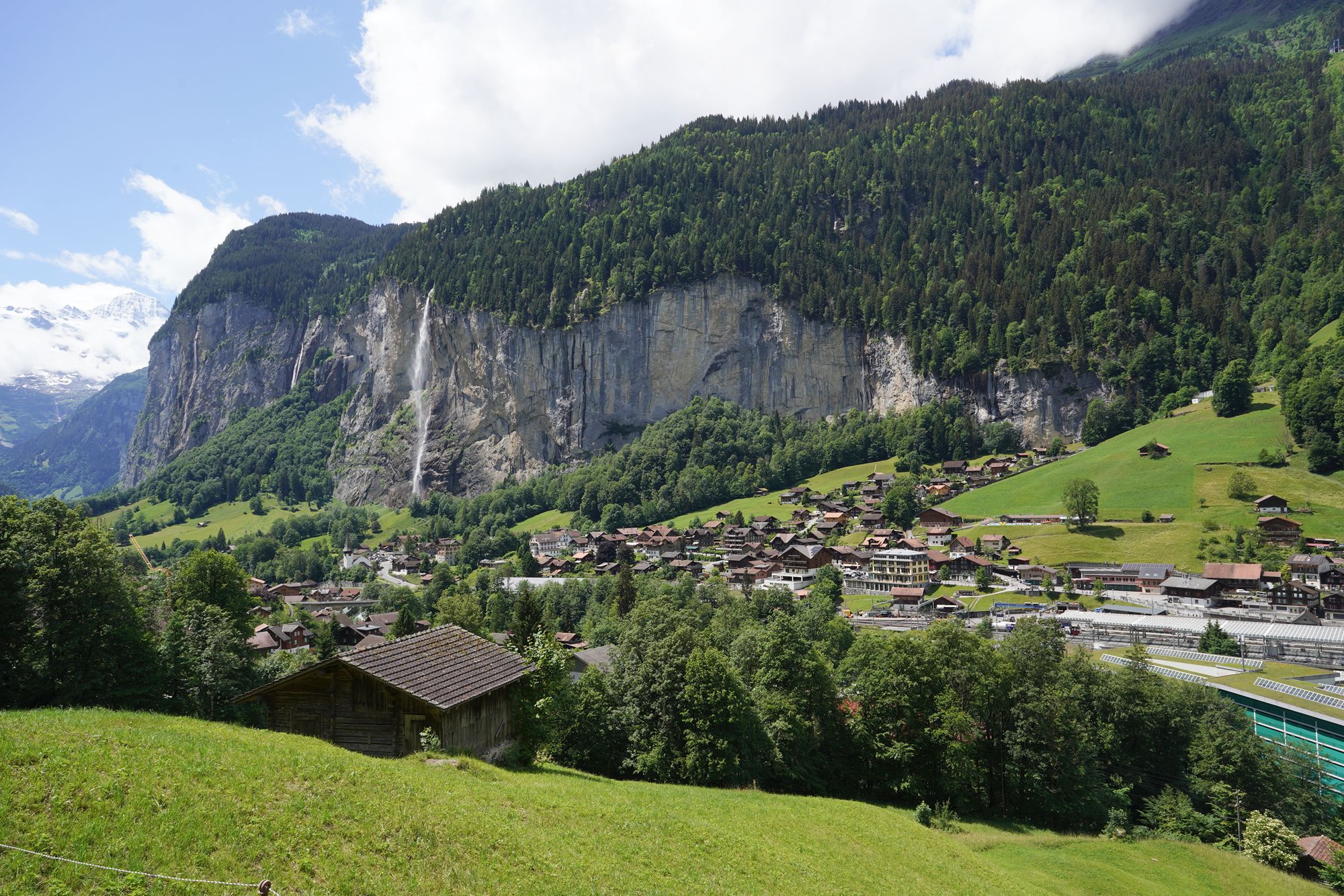
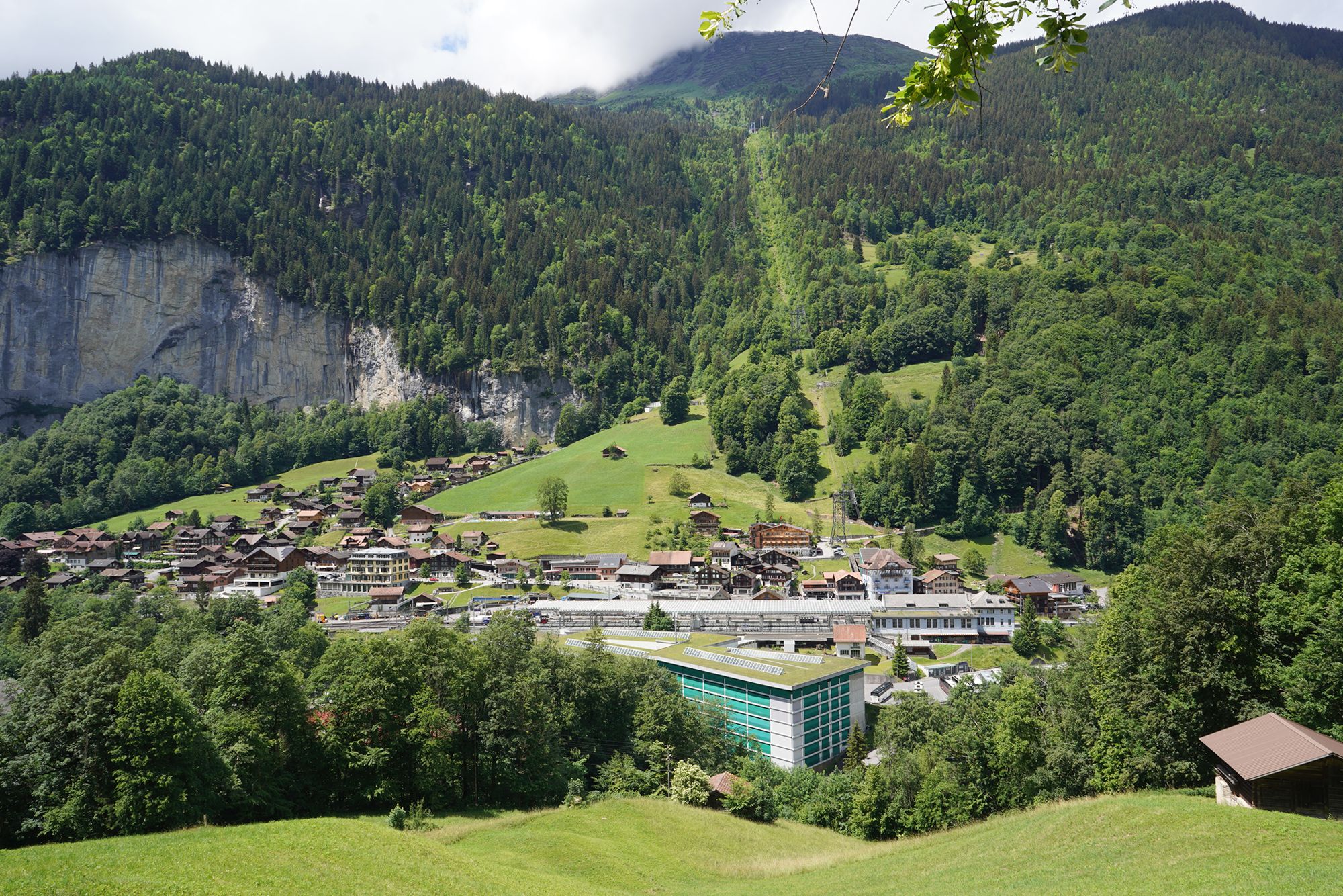
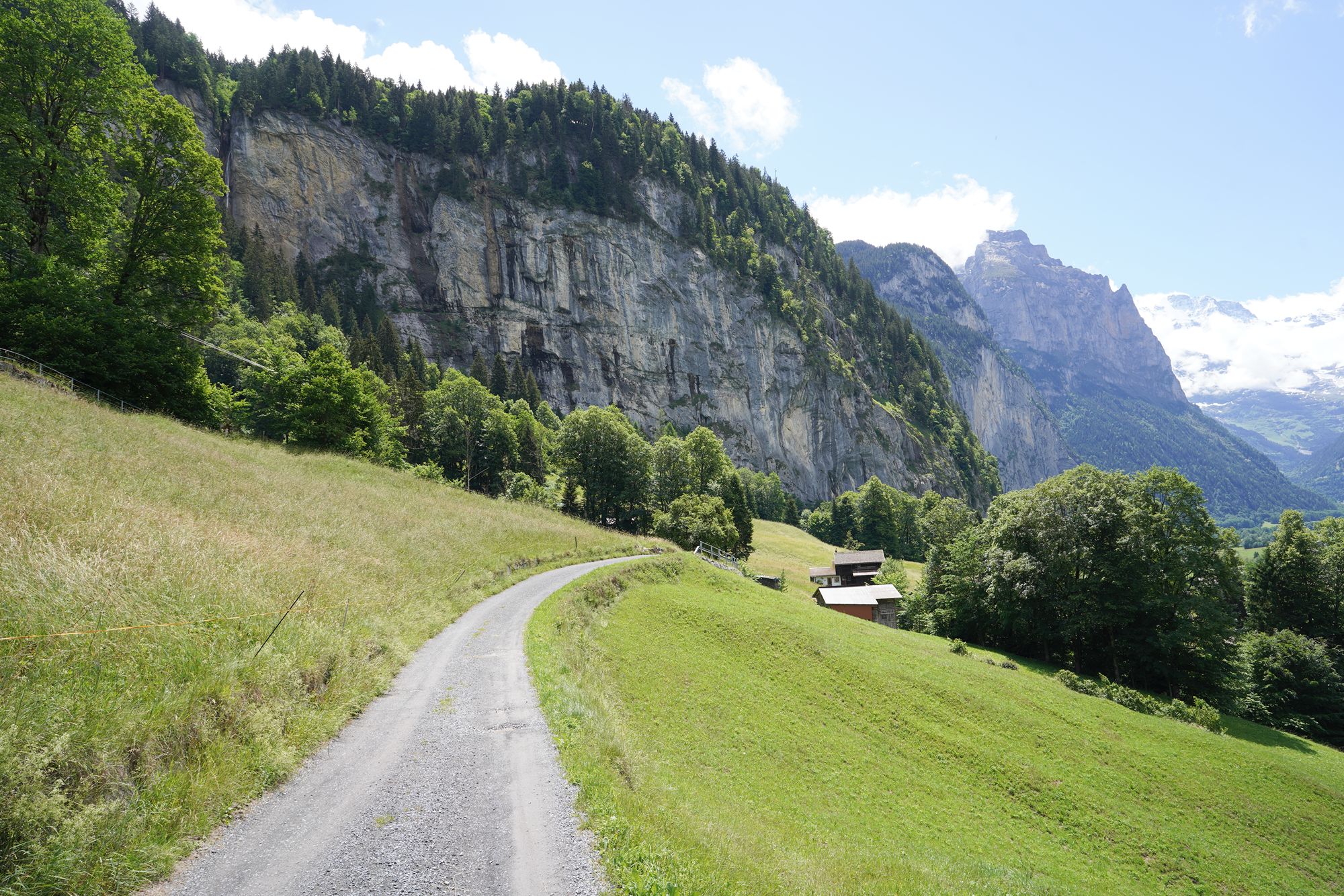
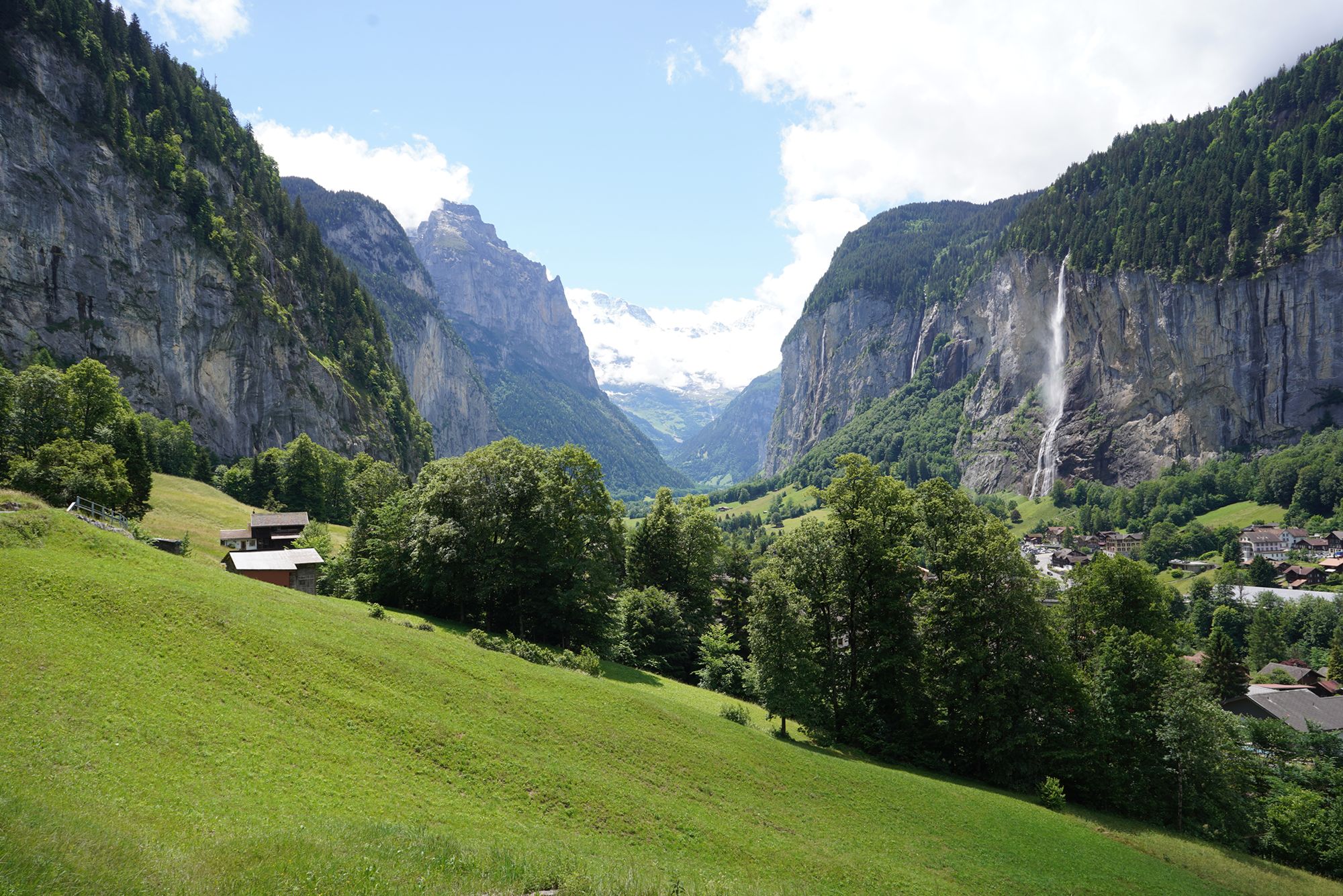
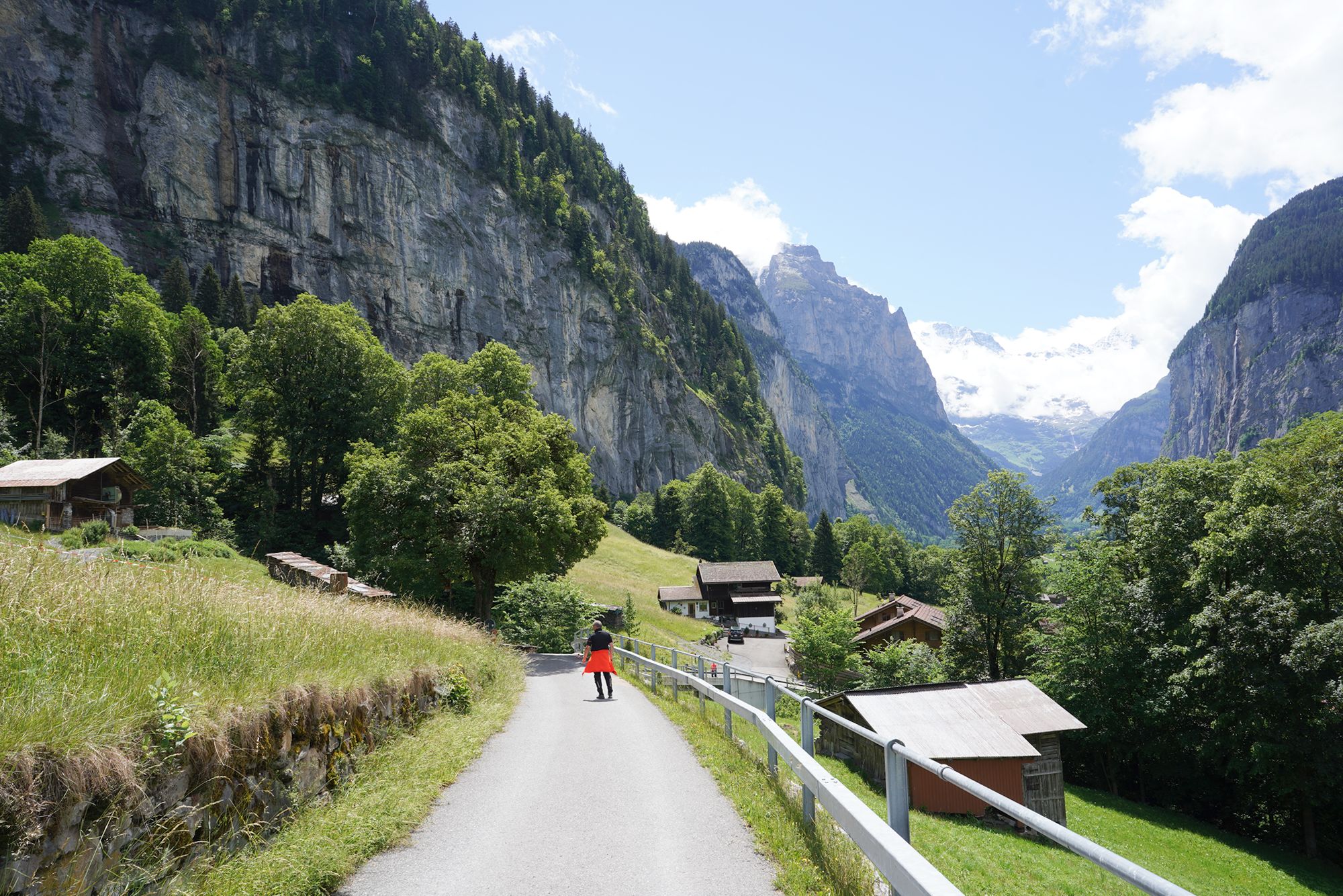
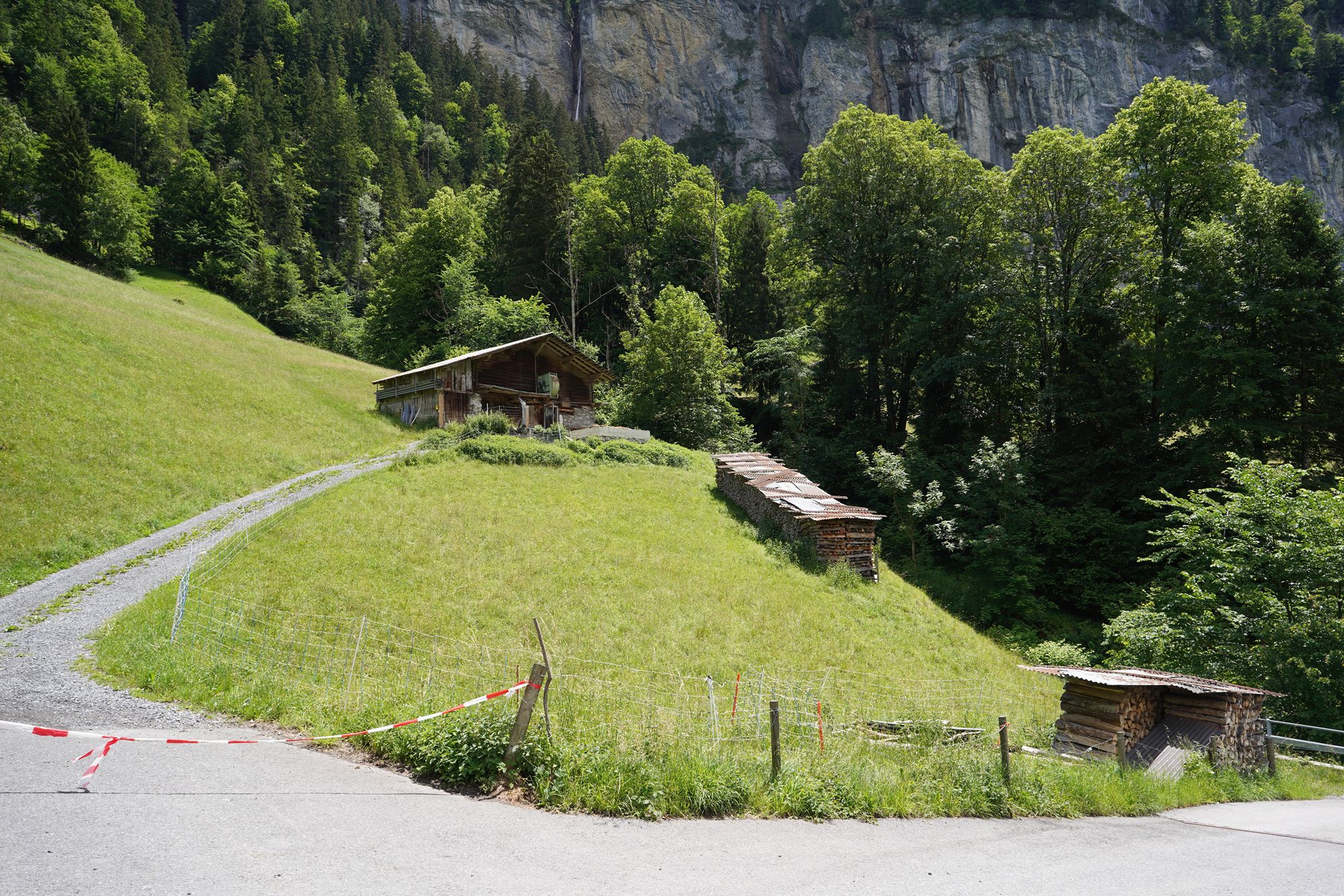
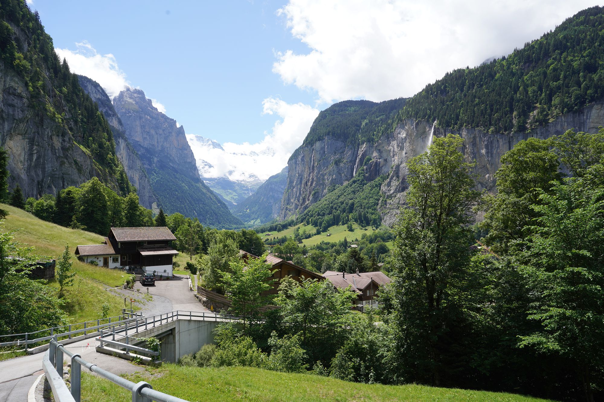
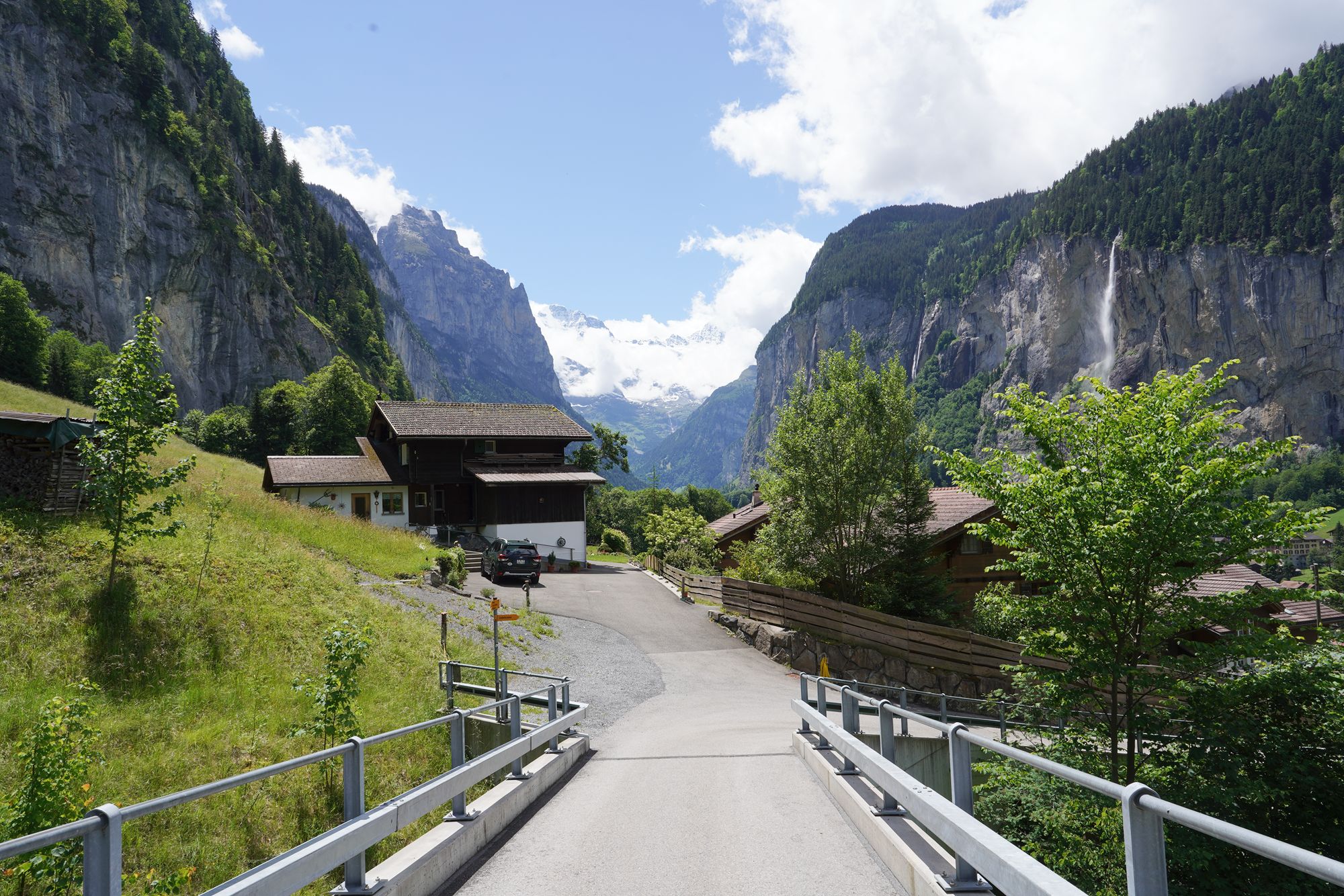
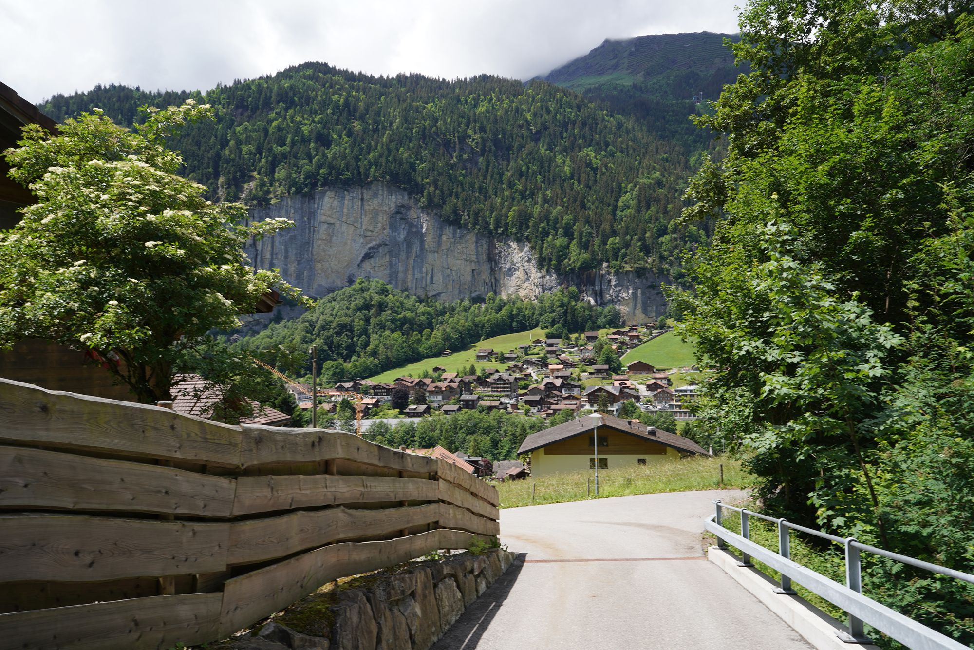
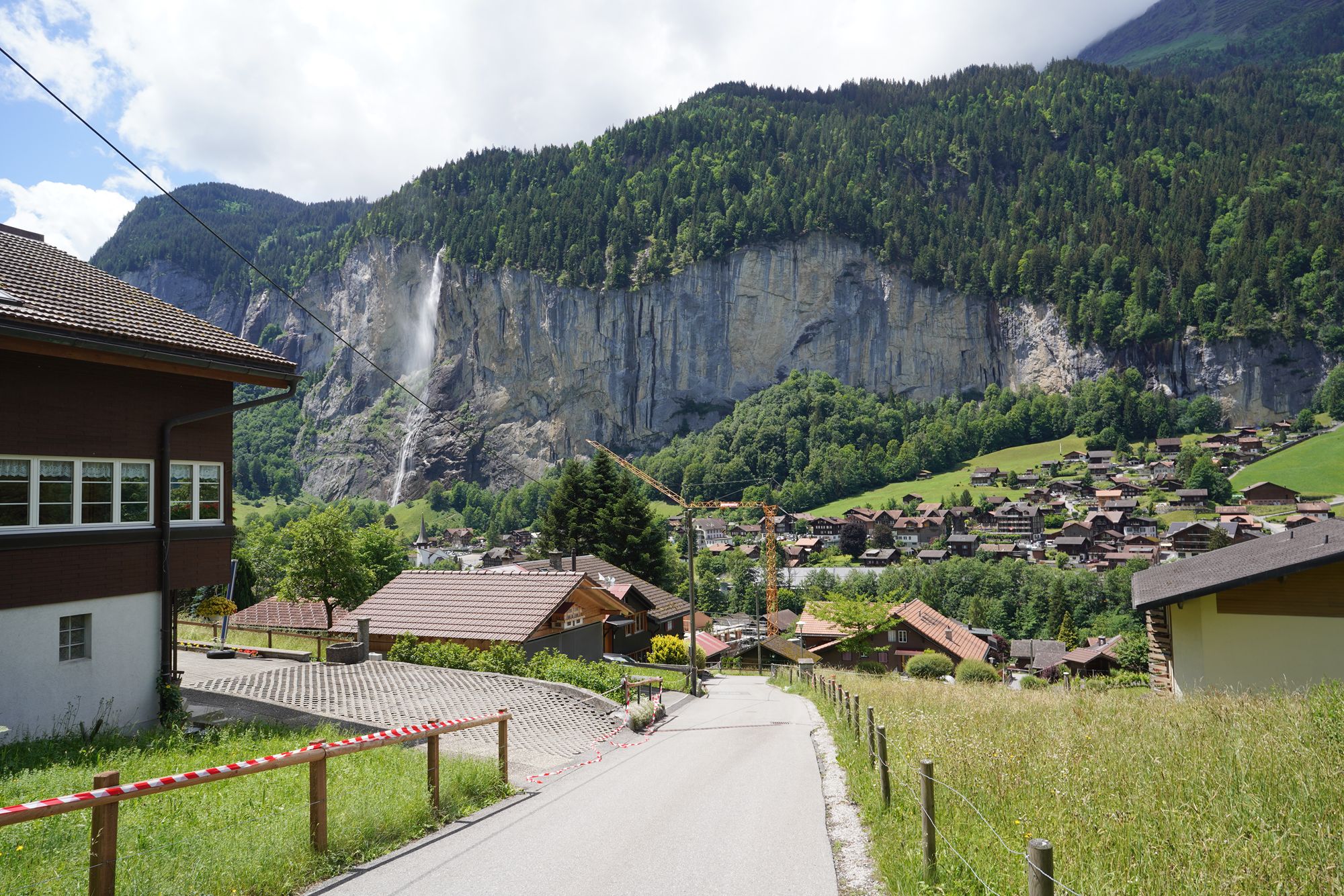
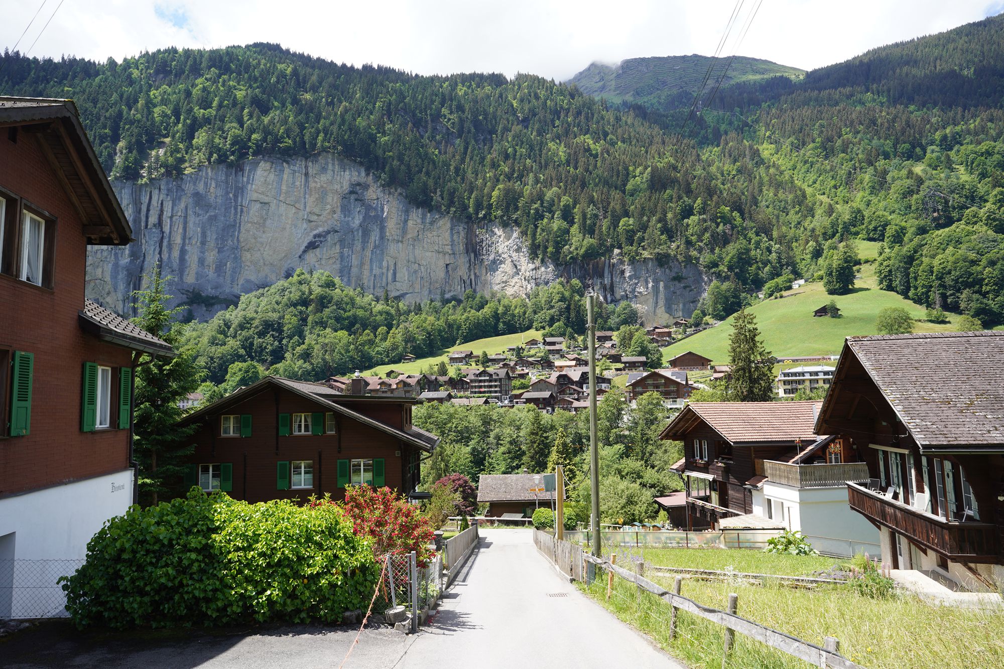
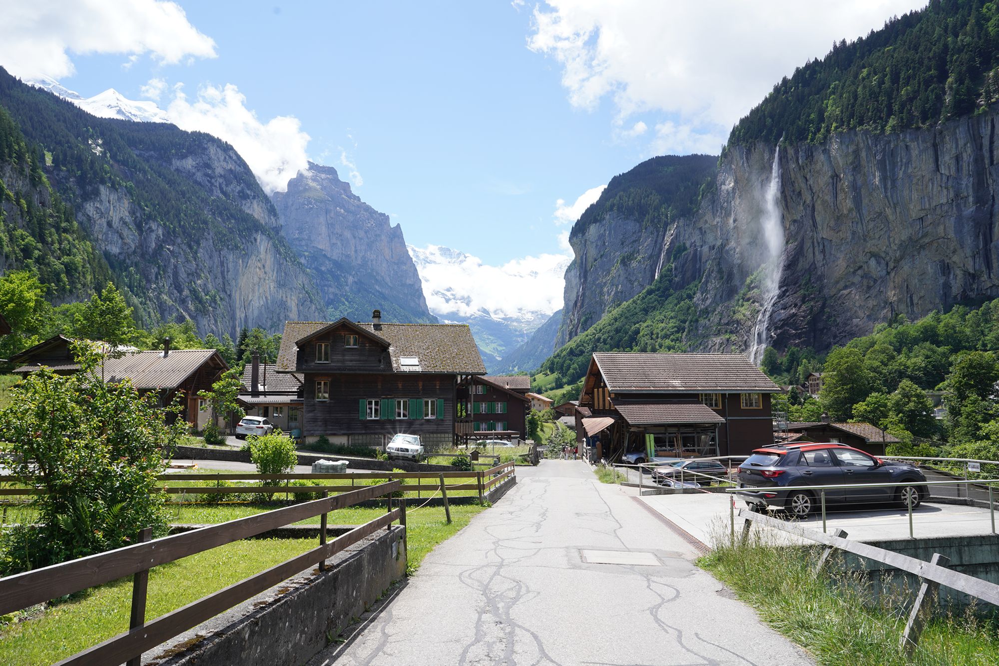

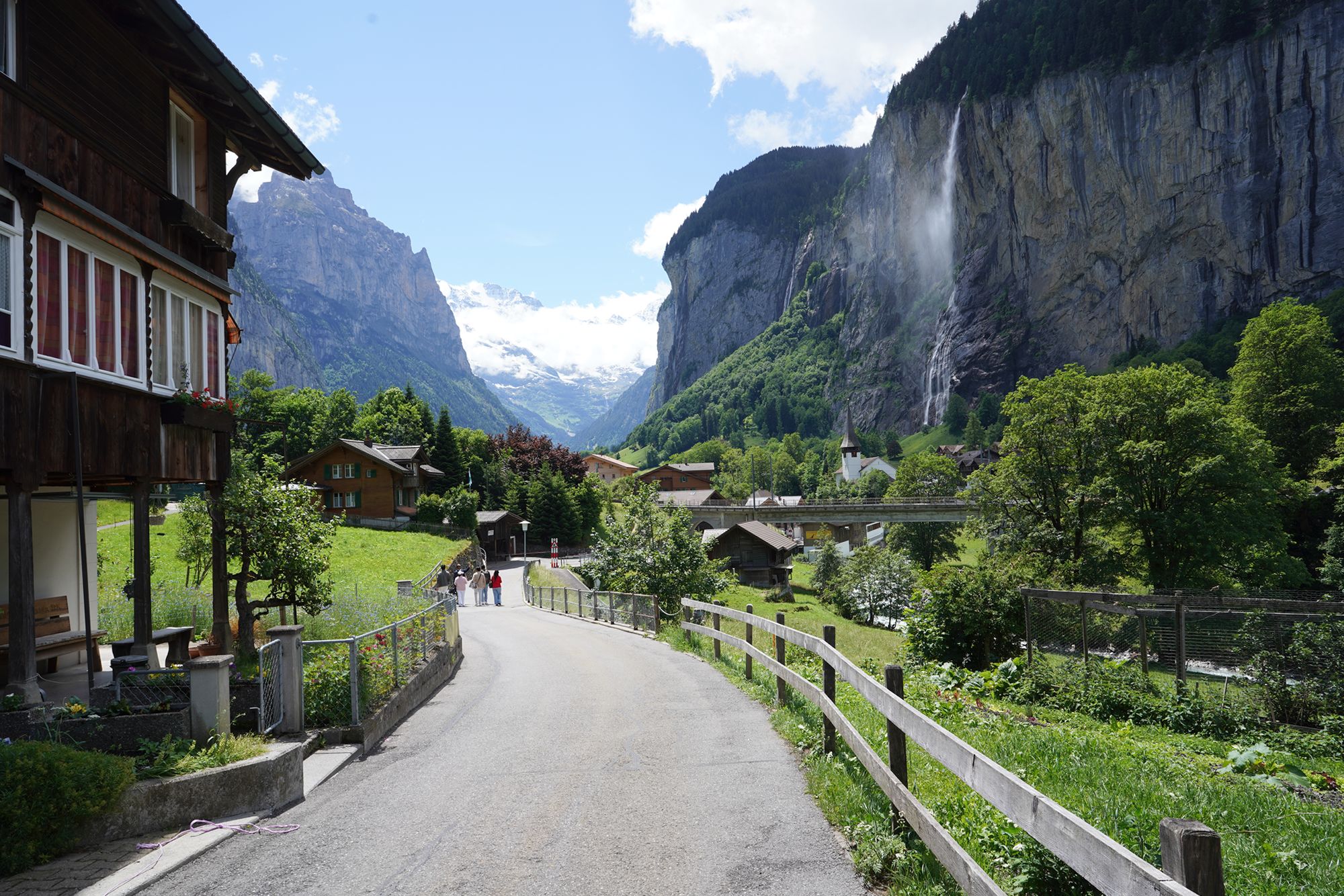
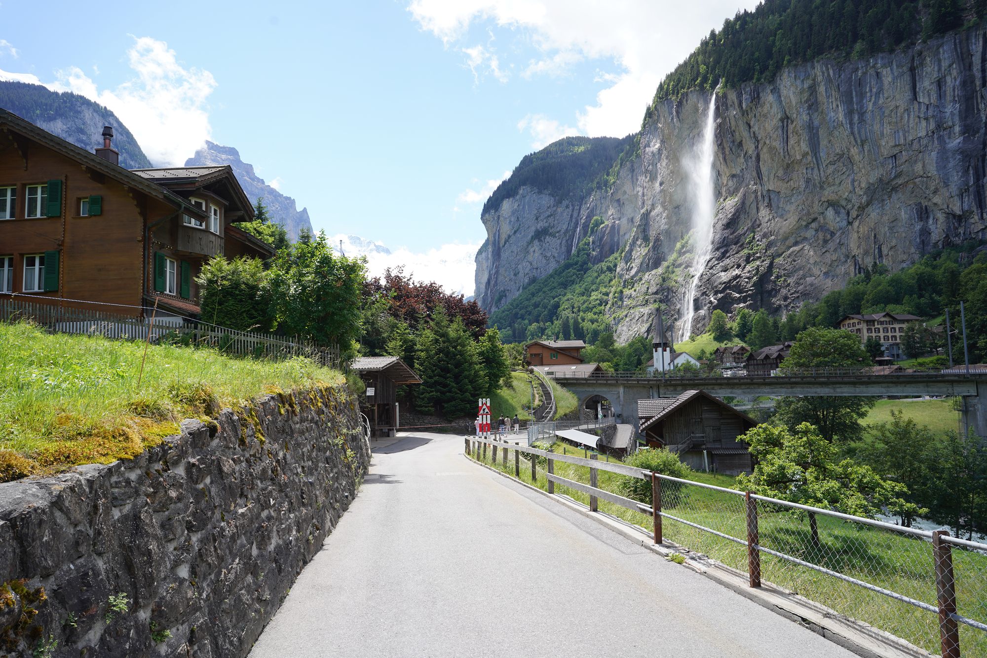
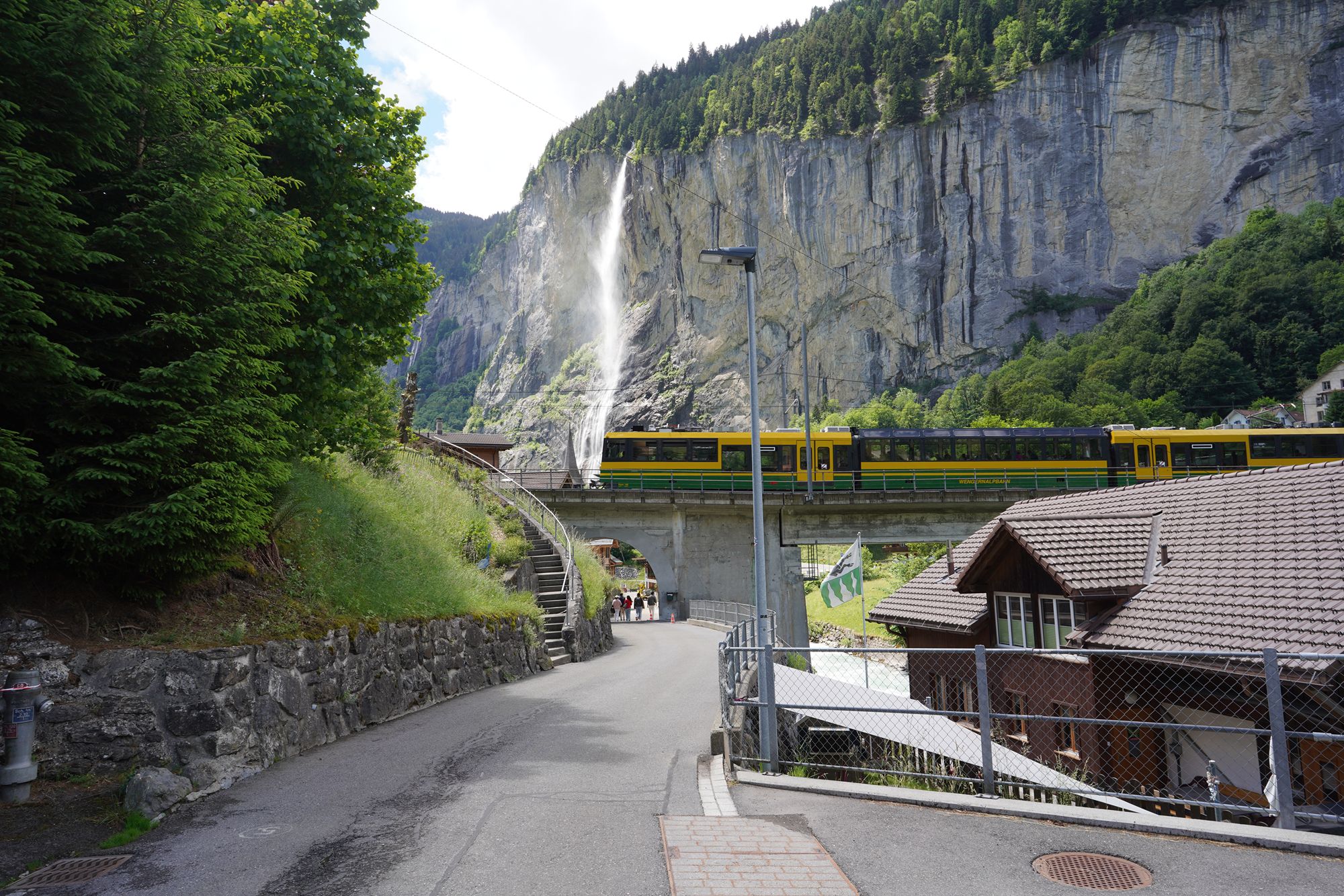
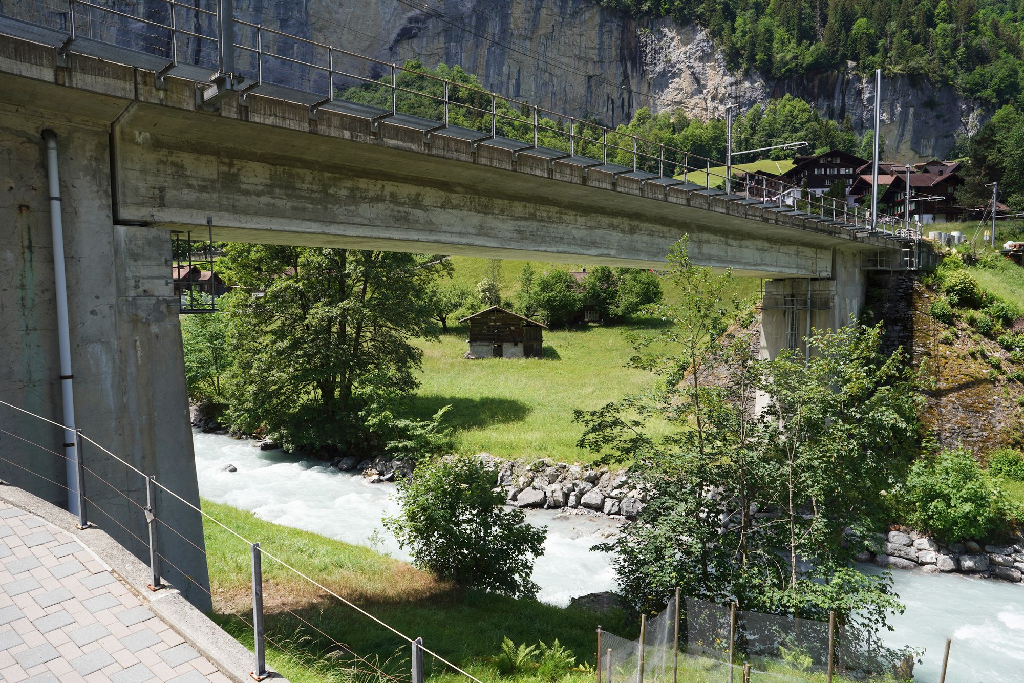
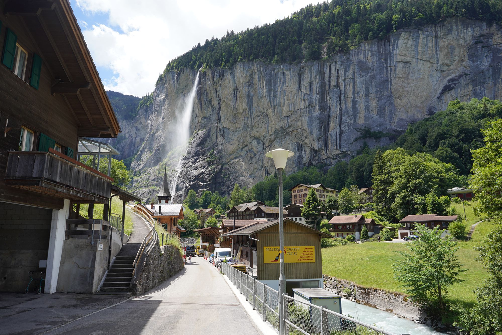
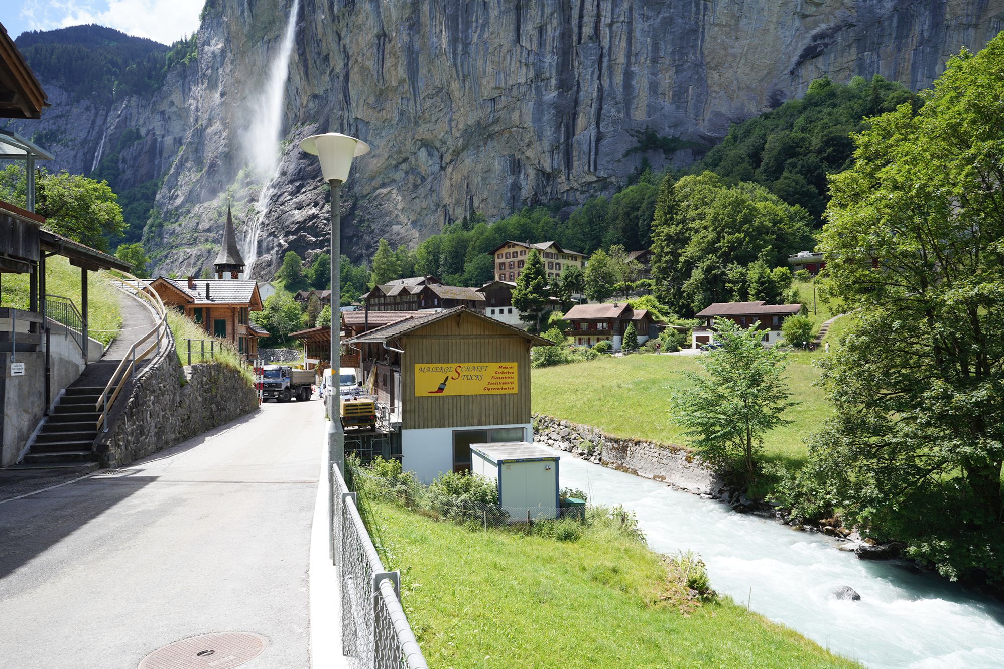
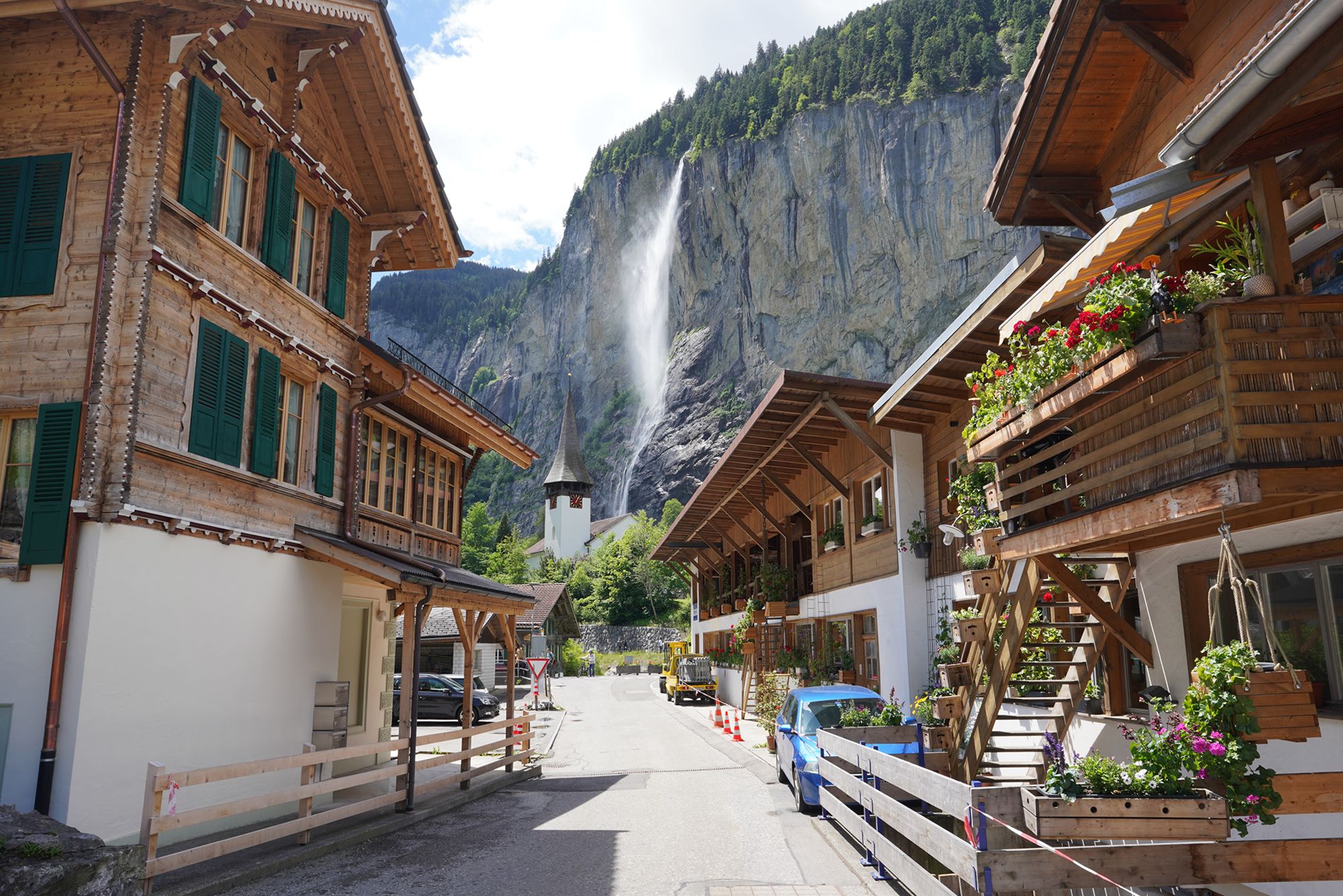
Finally, I reached one of the main roads in Lauterbrunnen, marking the end of my hike down from Wengen.
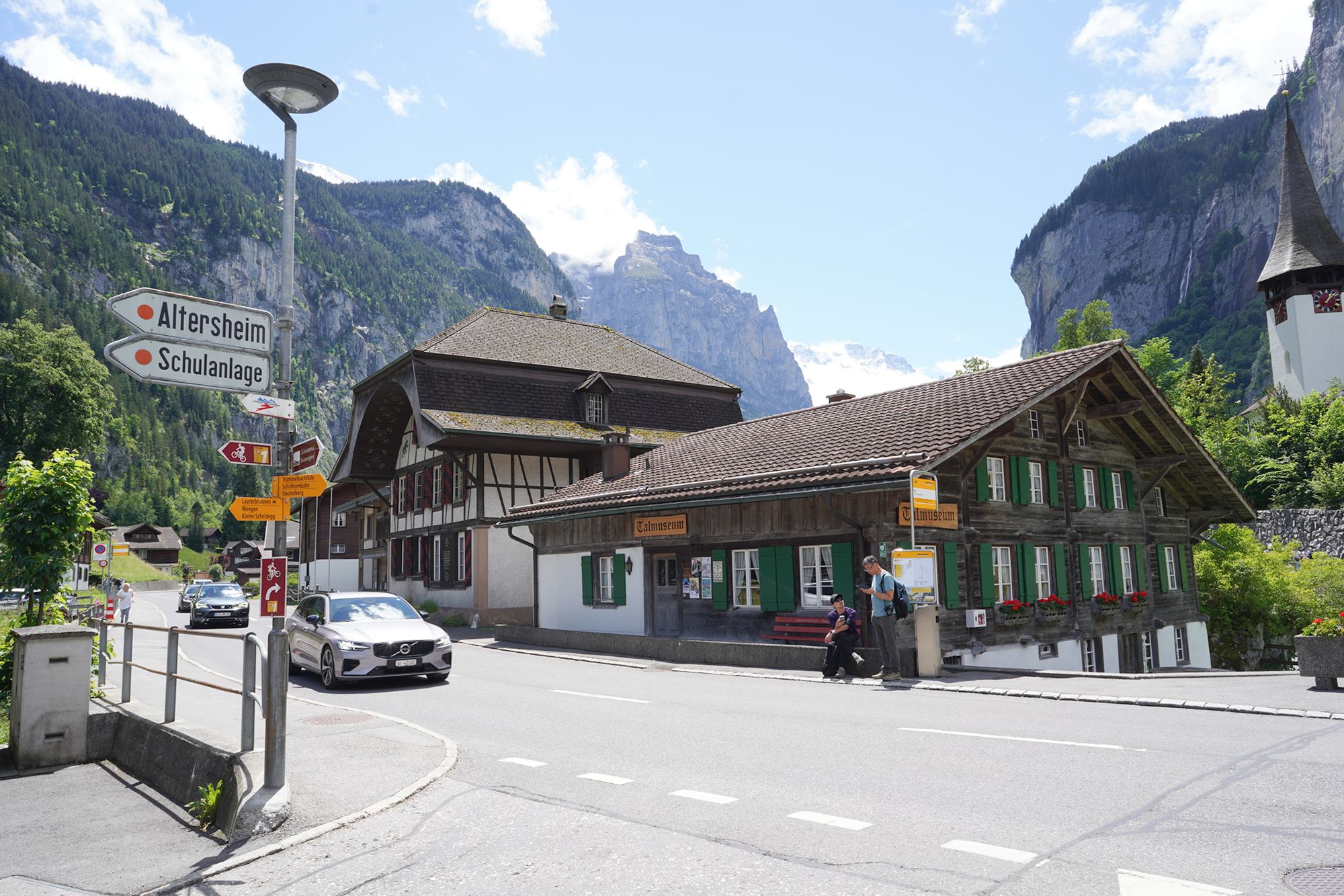
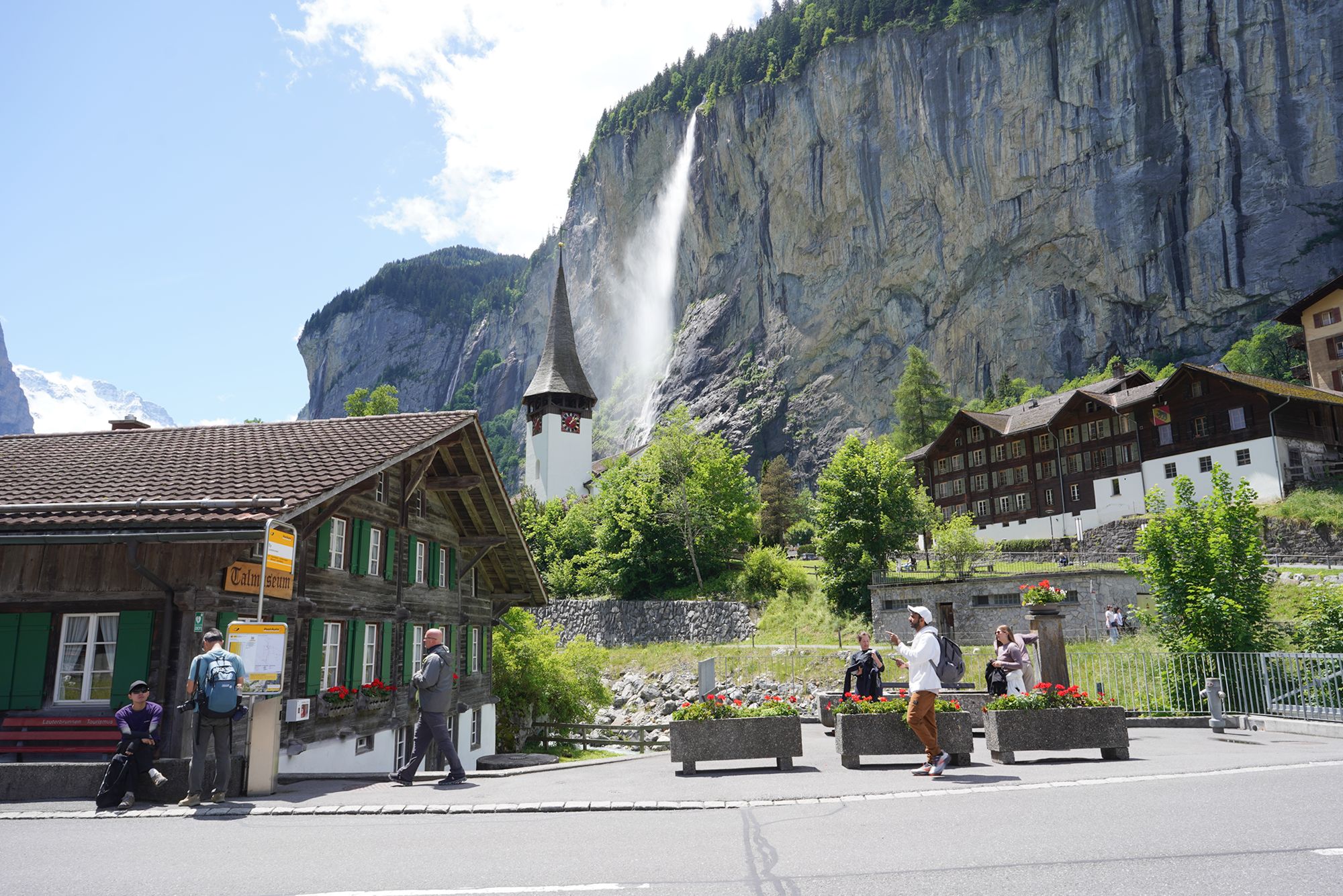
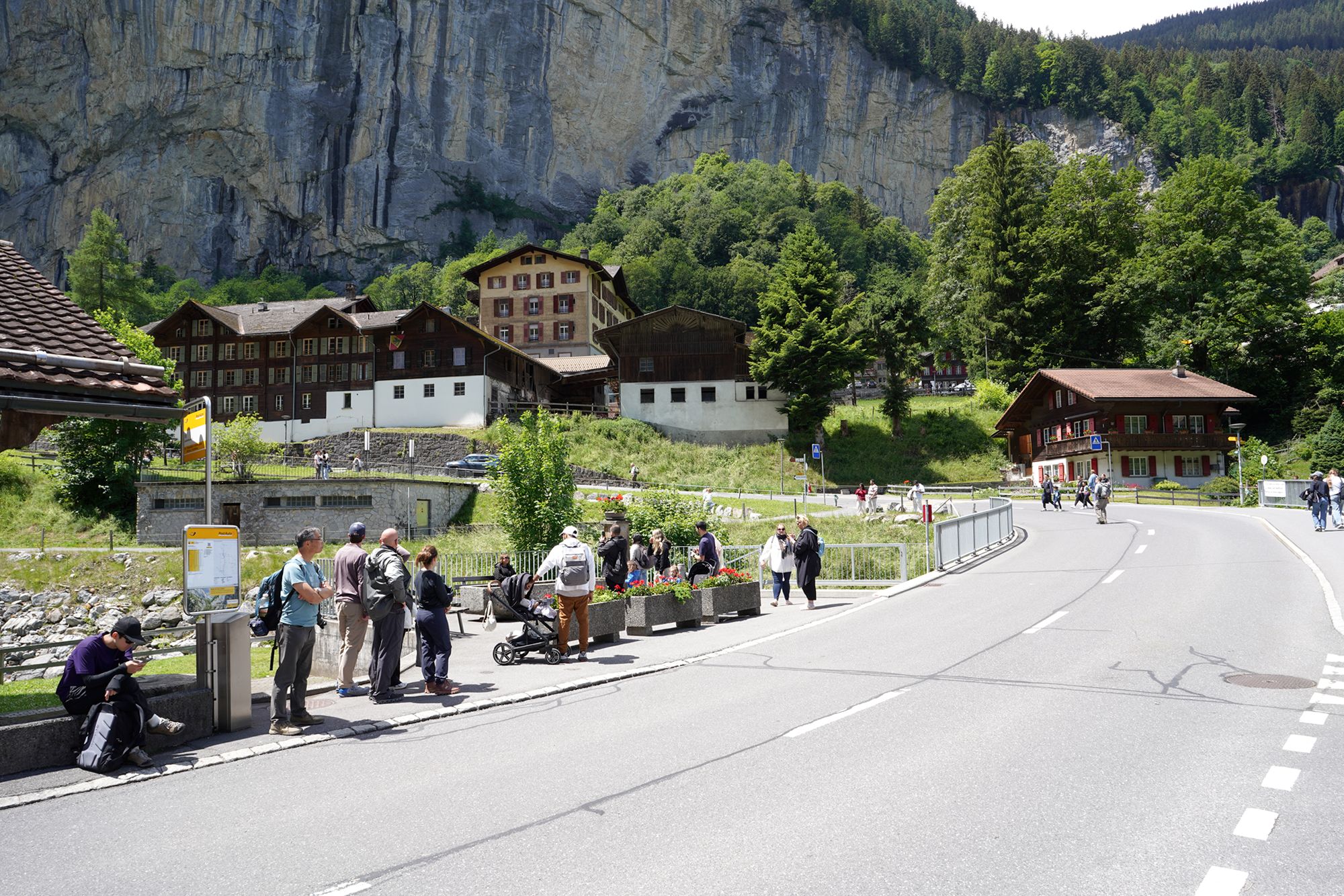
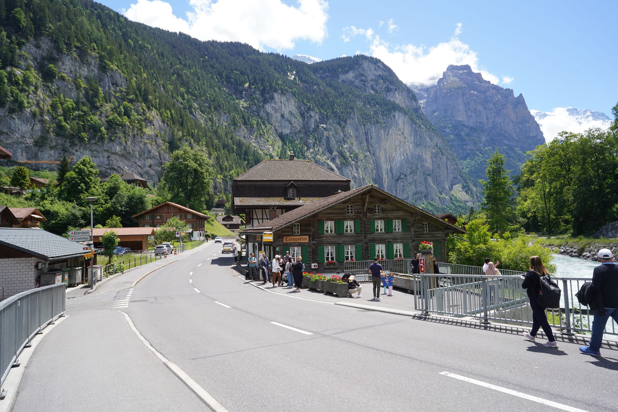
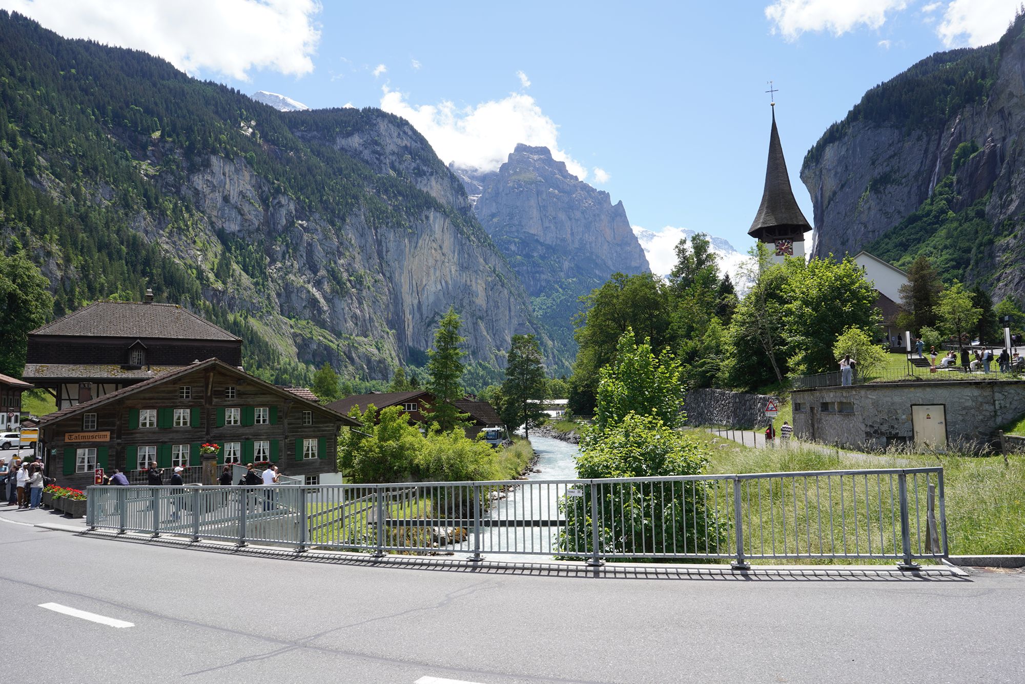
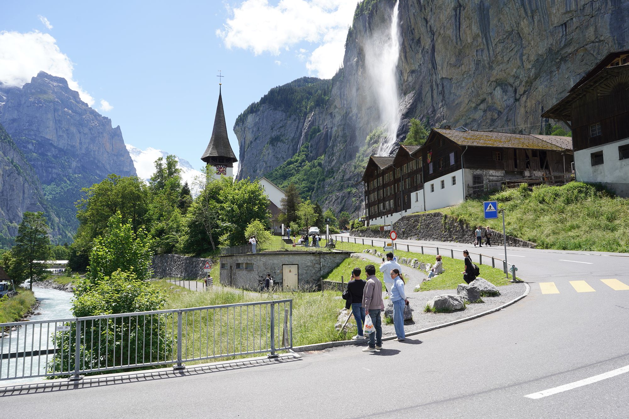
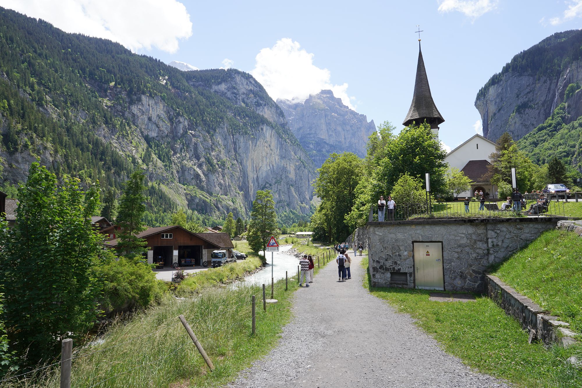
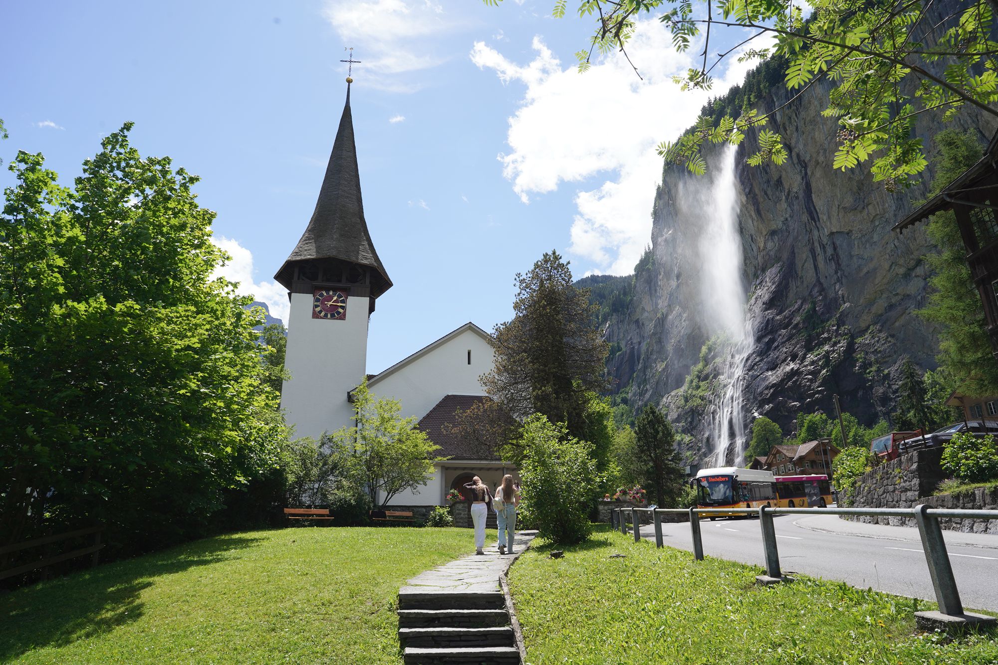
Reformierte Kirche Lauterbrunnen is the historic Swiss Reformed church of Lauterbrunnen, beautifully situated beneath the steep cliffs of the valley. Its simple white exterior and tall pointed steeple make it one of the village’s most recognizable landmarks.
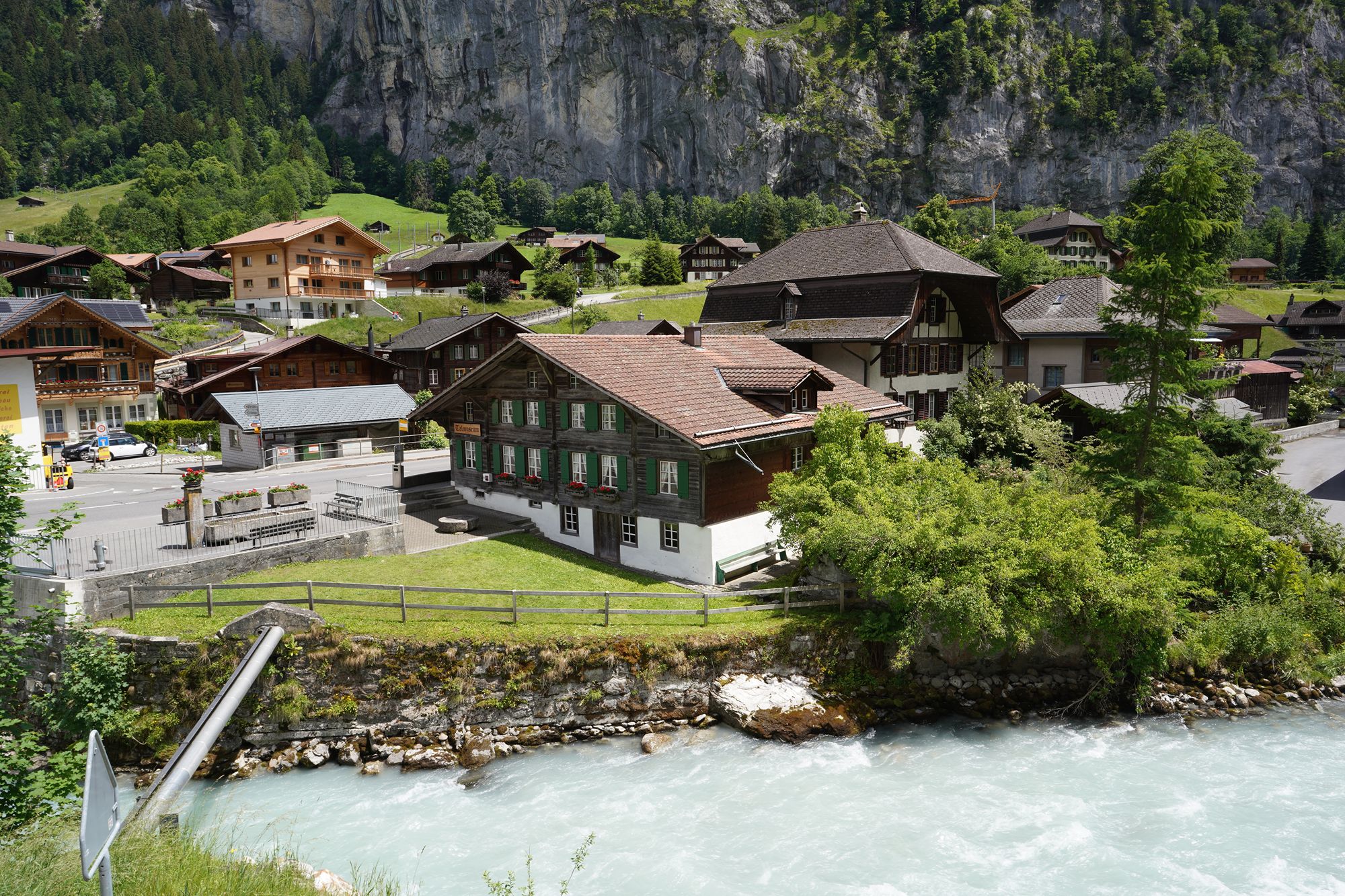
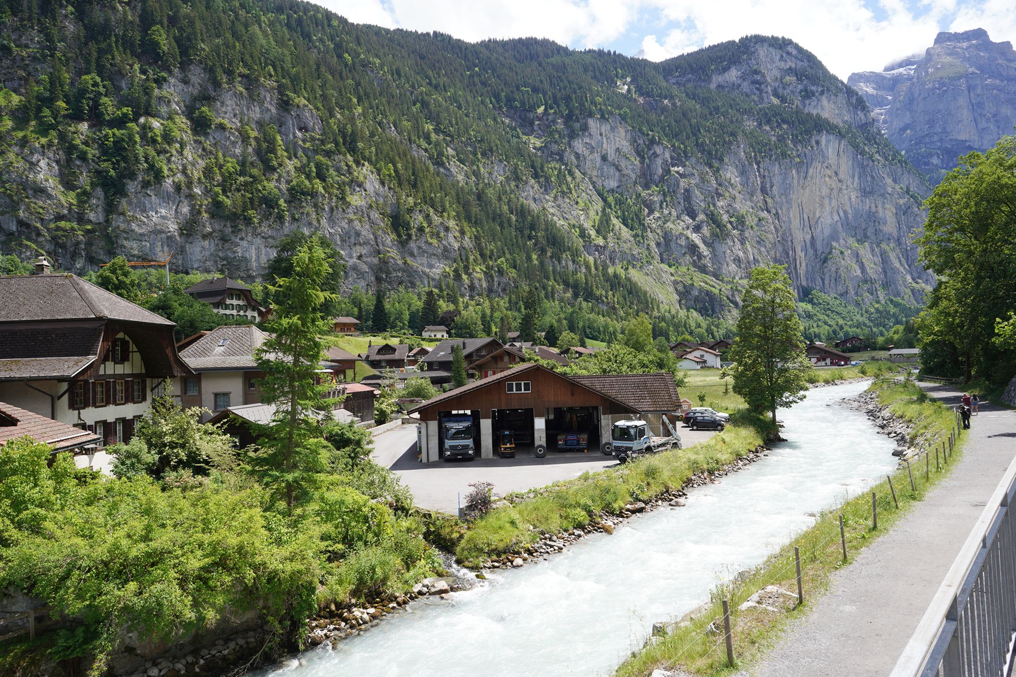
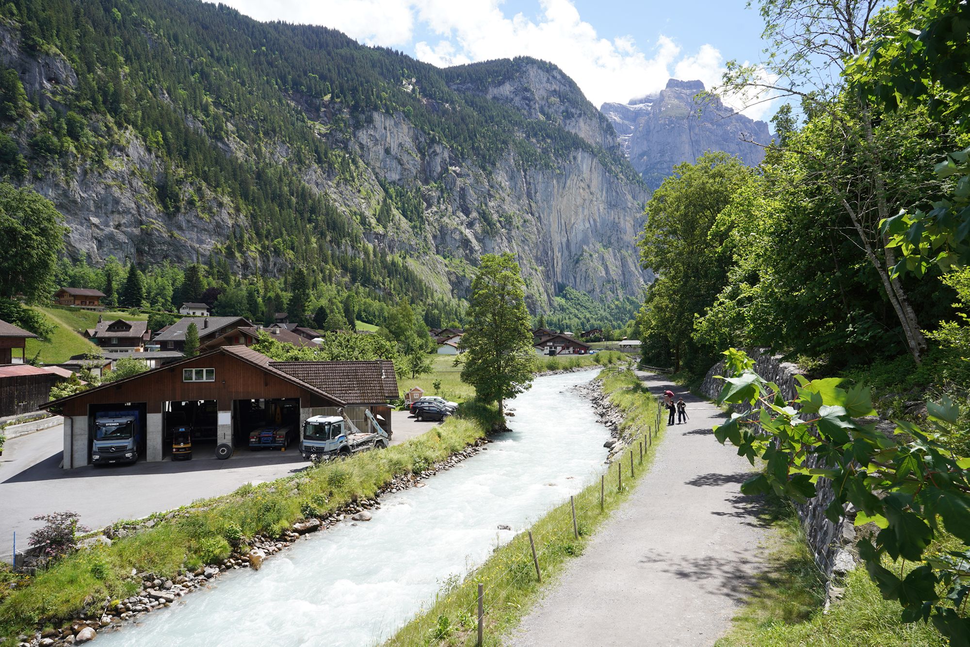
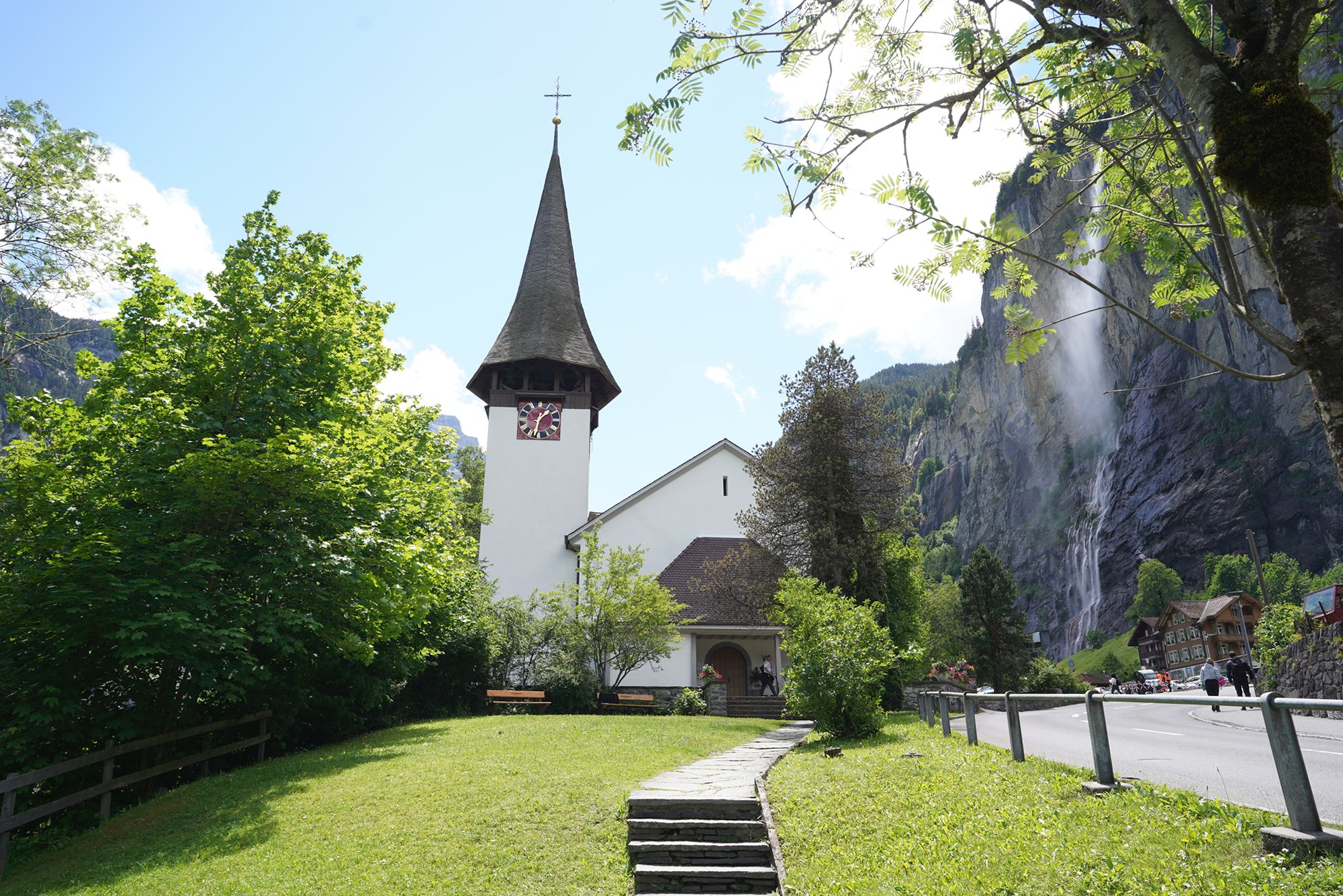
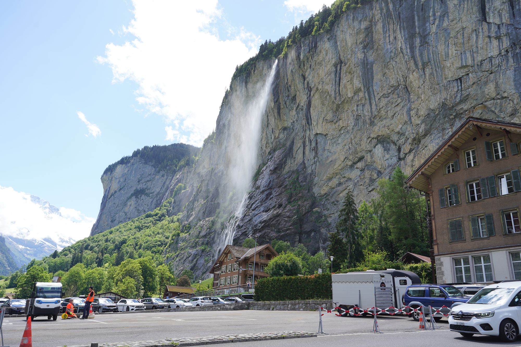
I am now on Auf der Fuhren, one of the main roads through Lauterbrunnen, walking toward the train station.
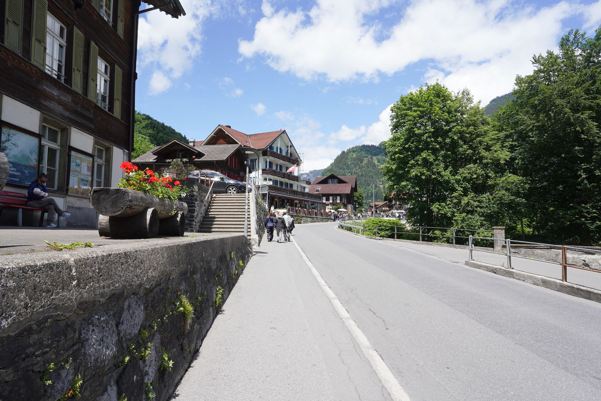
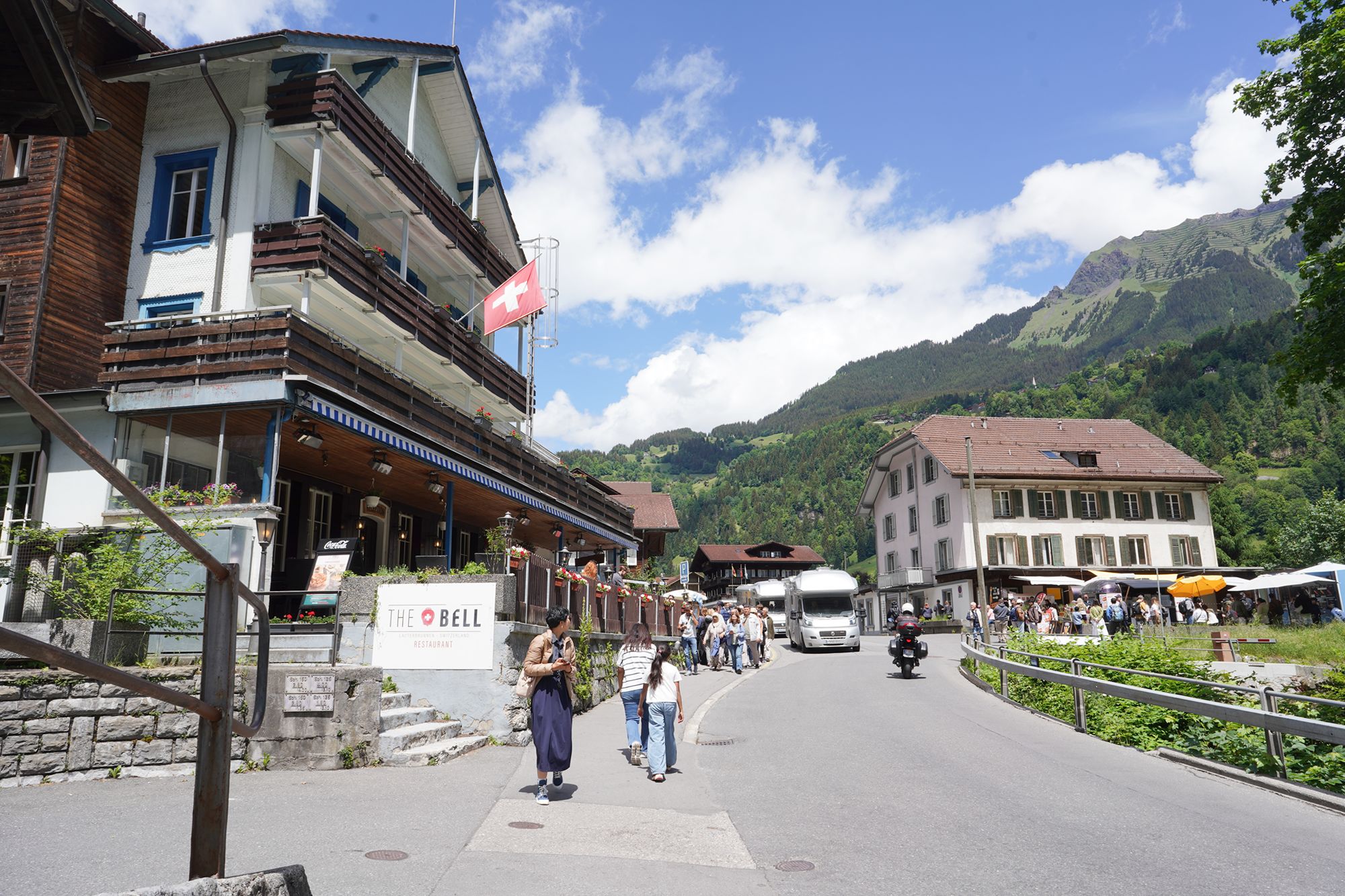
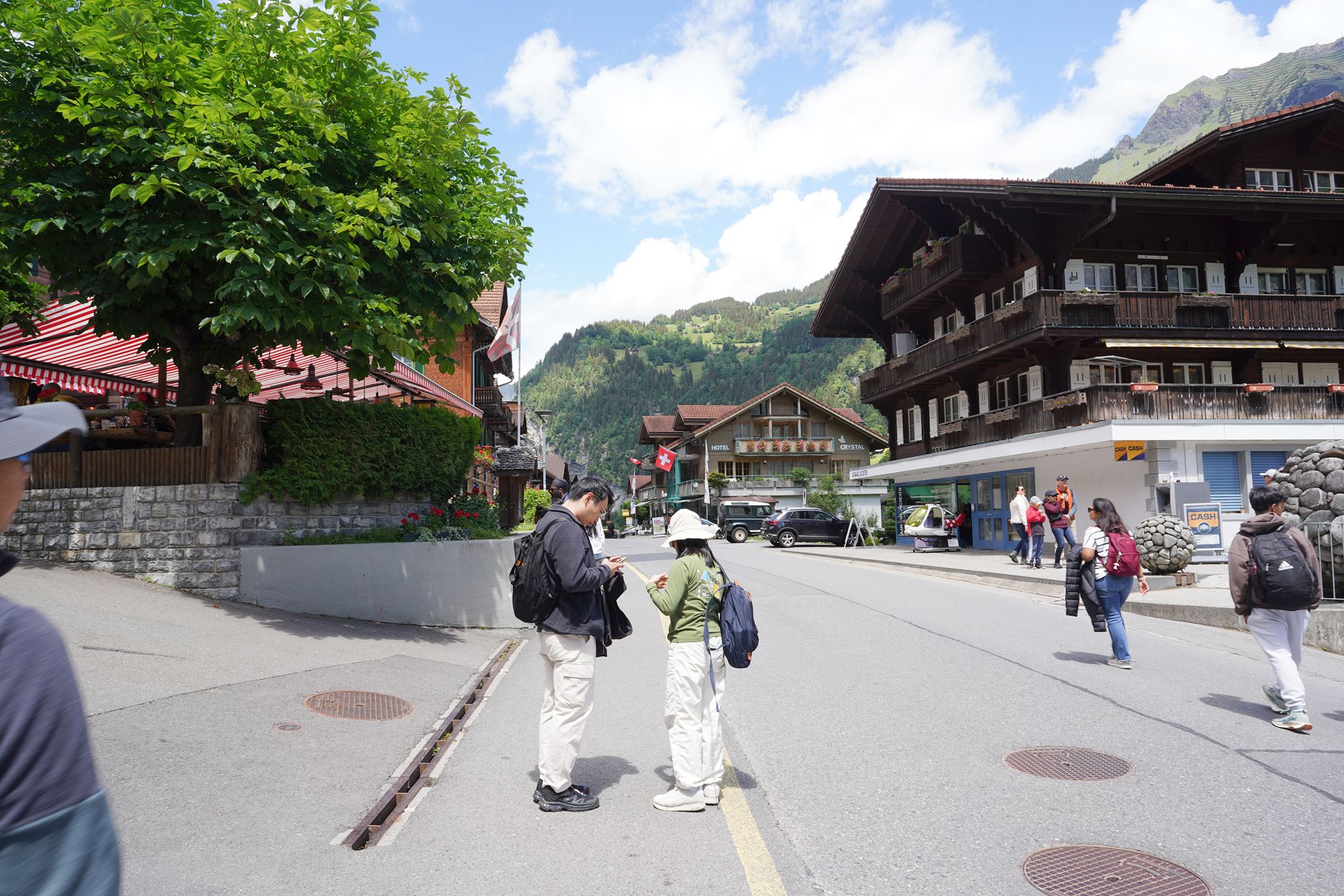
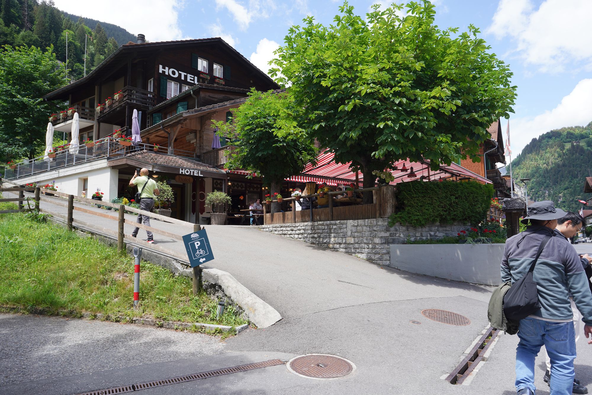
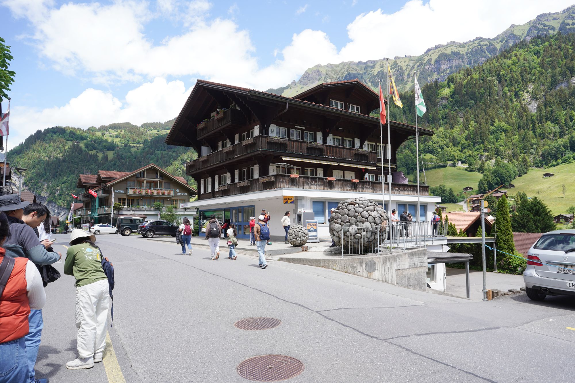
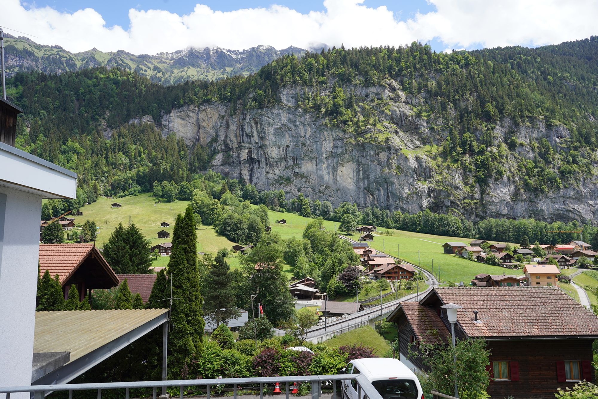
A view behind me
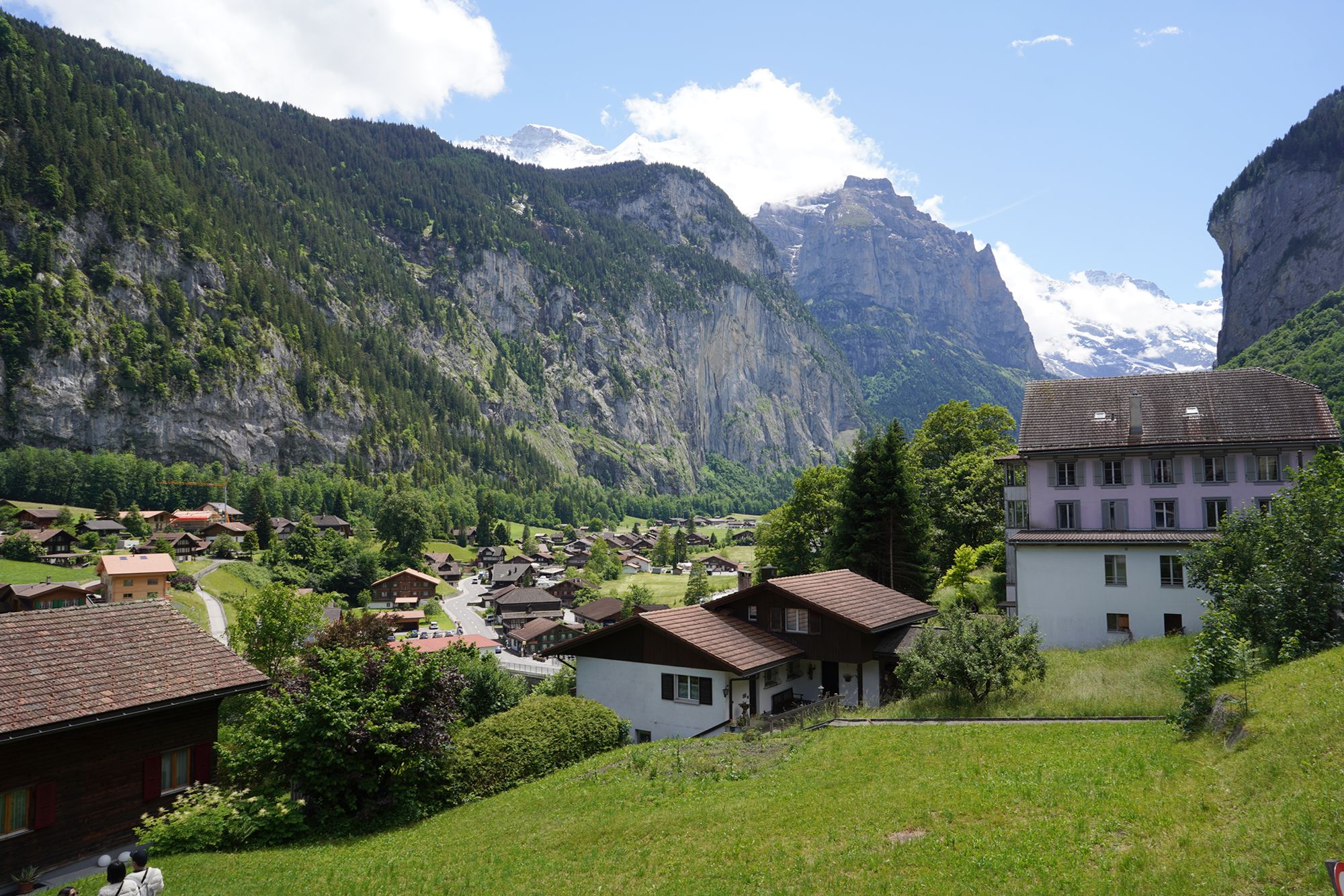
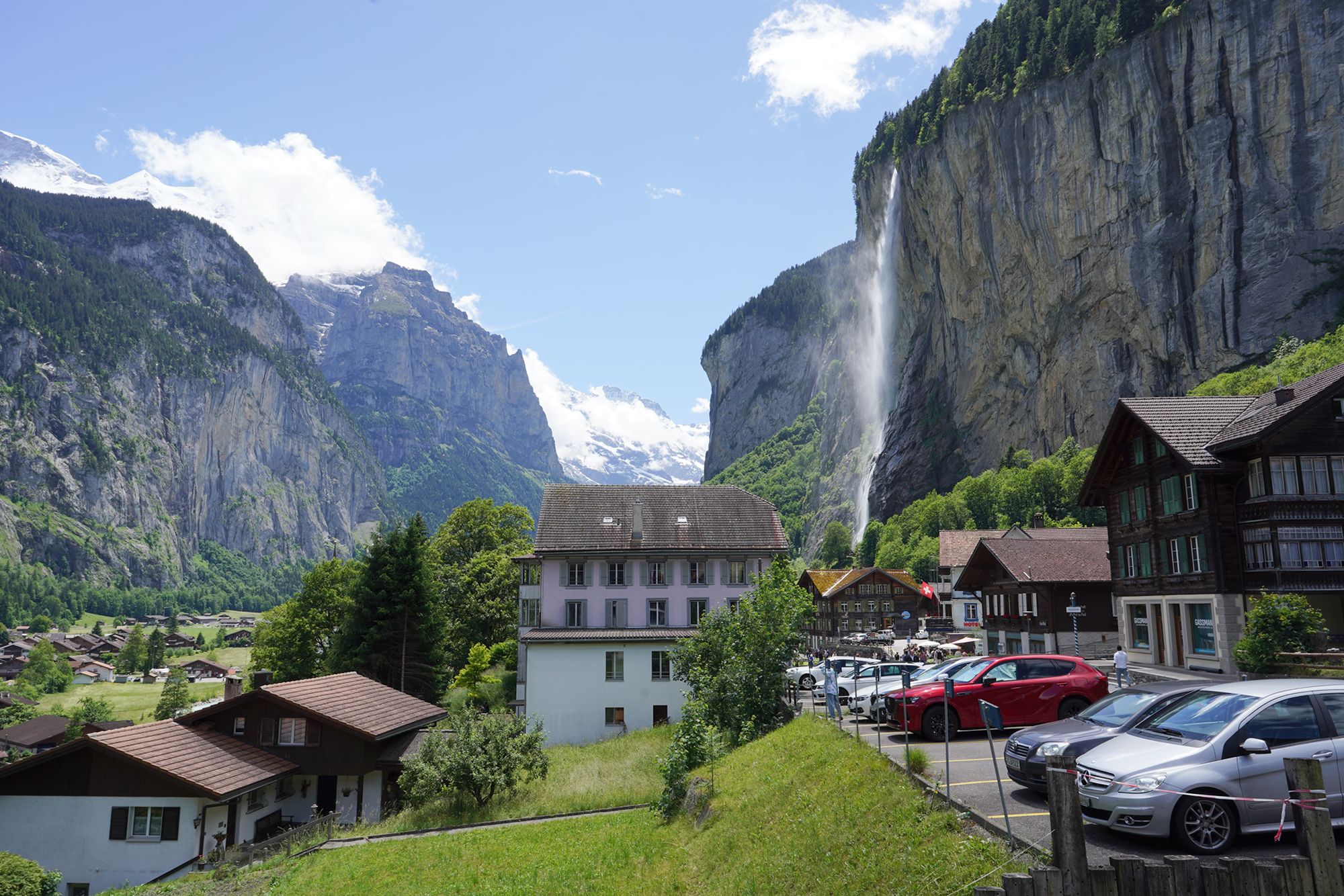
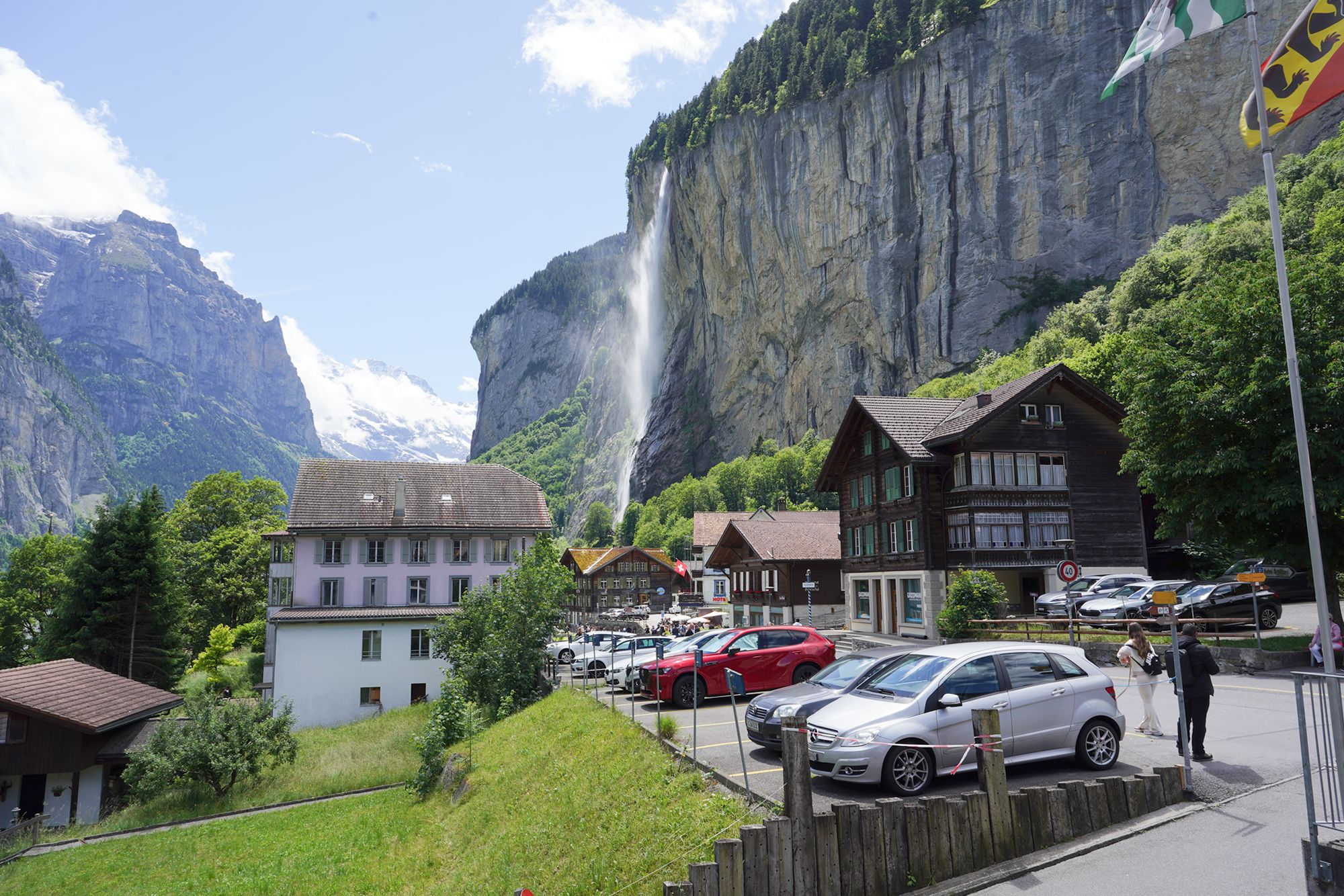
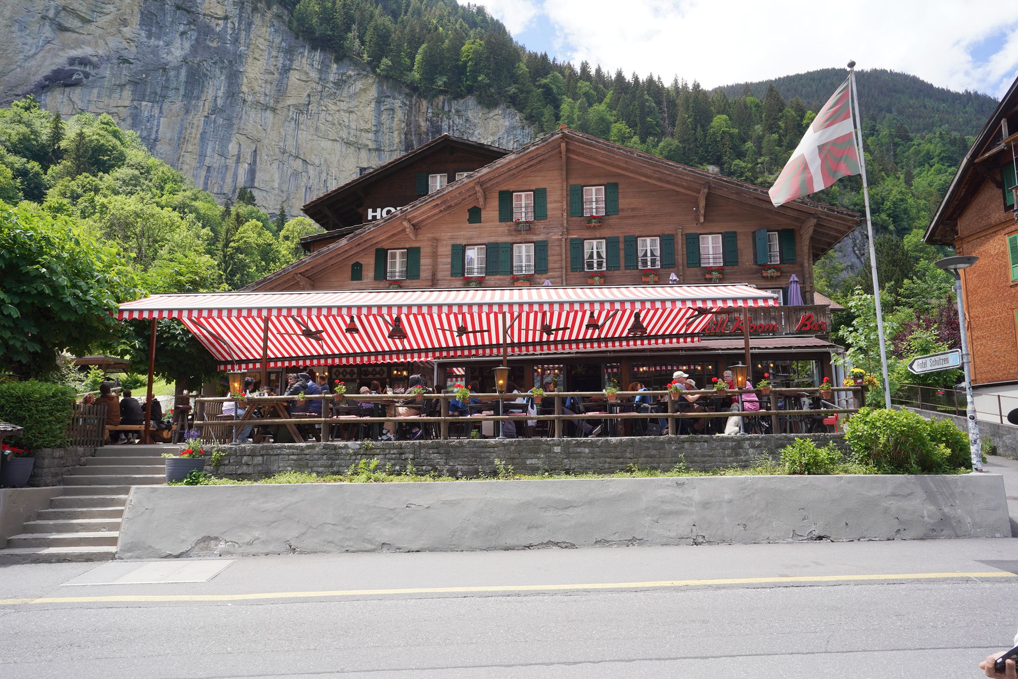
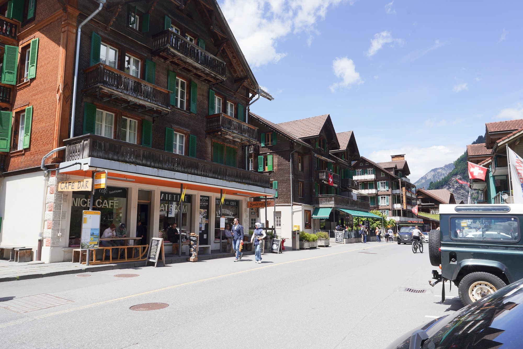
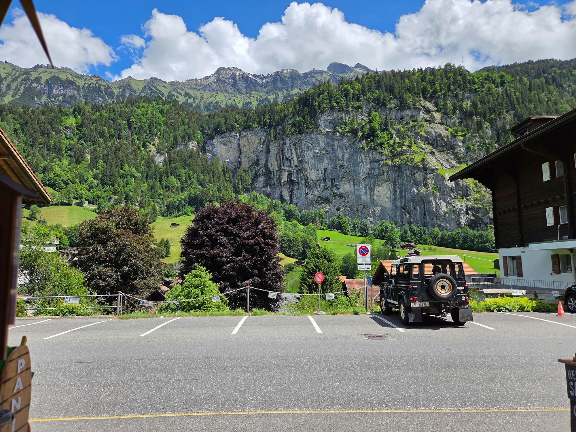
I took a short rest here and had a sandwich.
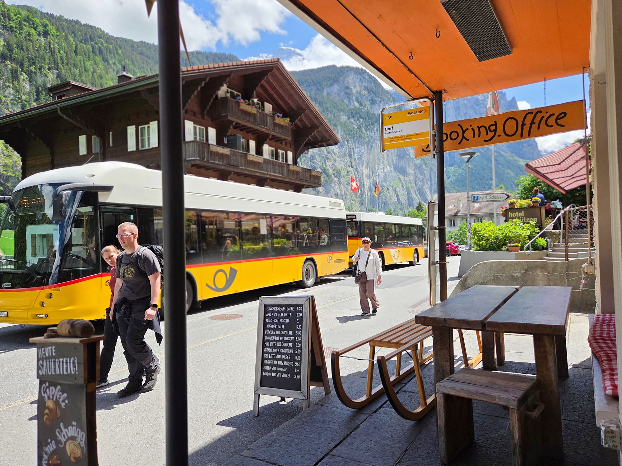

Then I walked toward the waterfall, heading away from the train station to explore more of Lauterbrunnen.
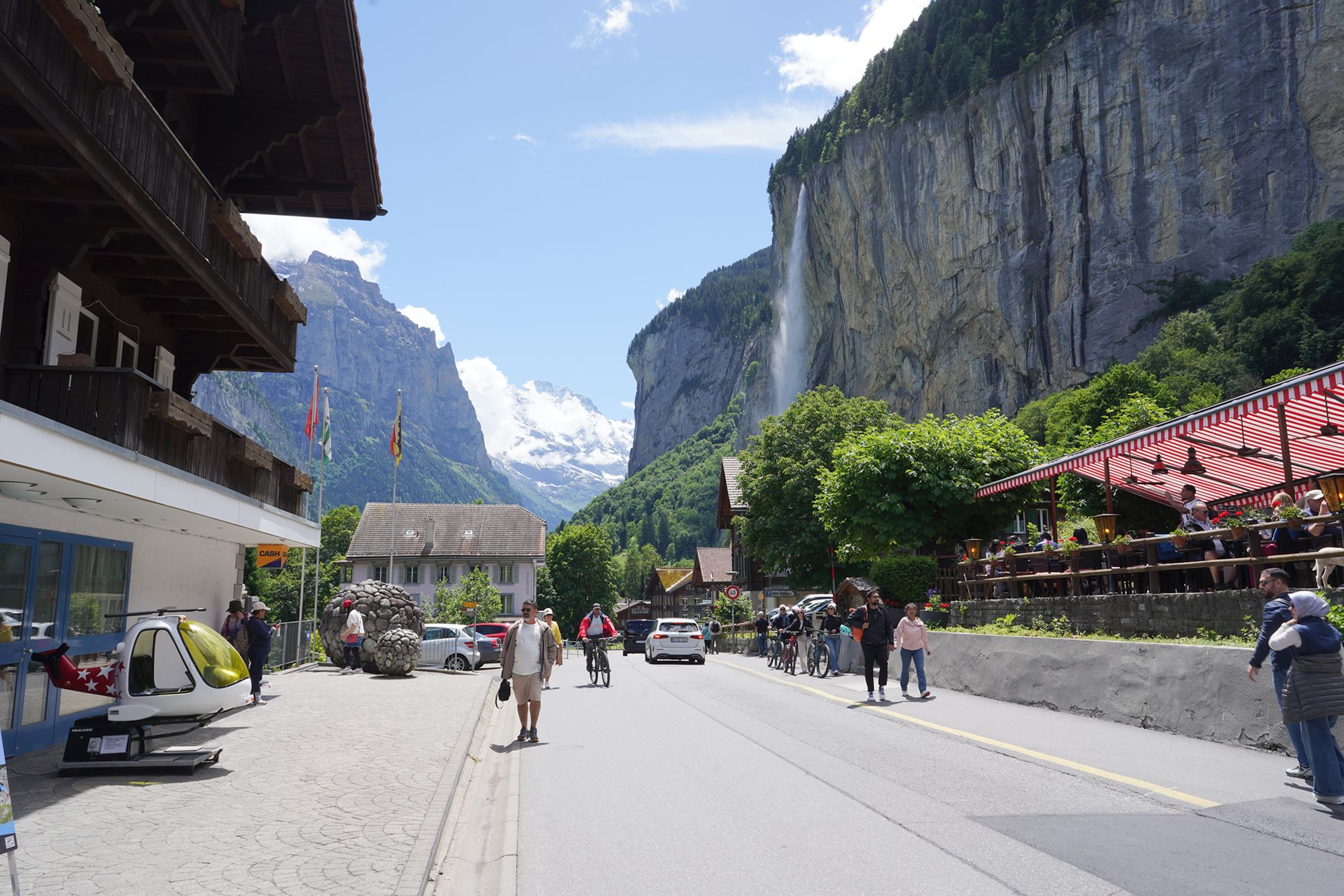
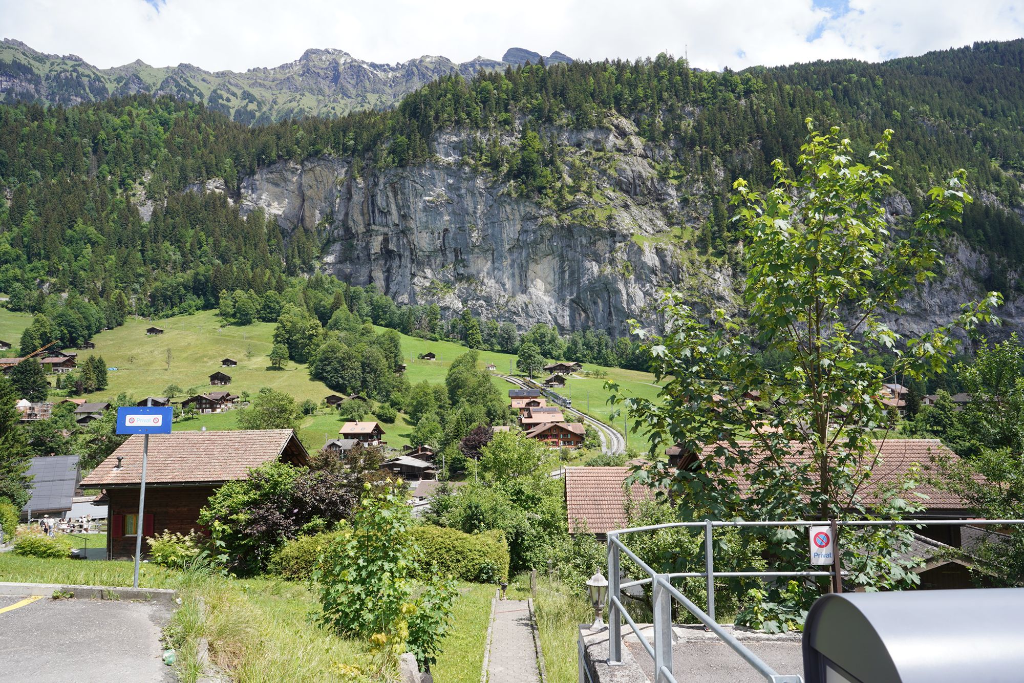
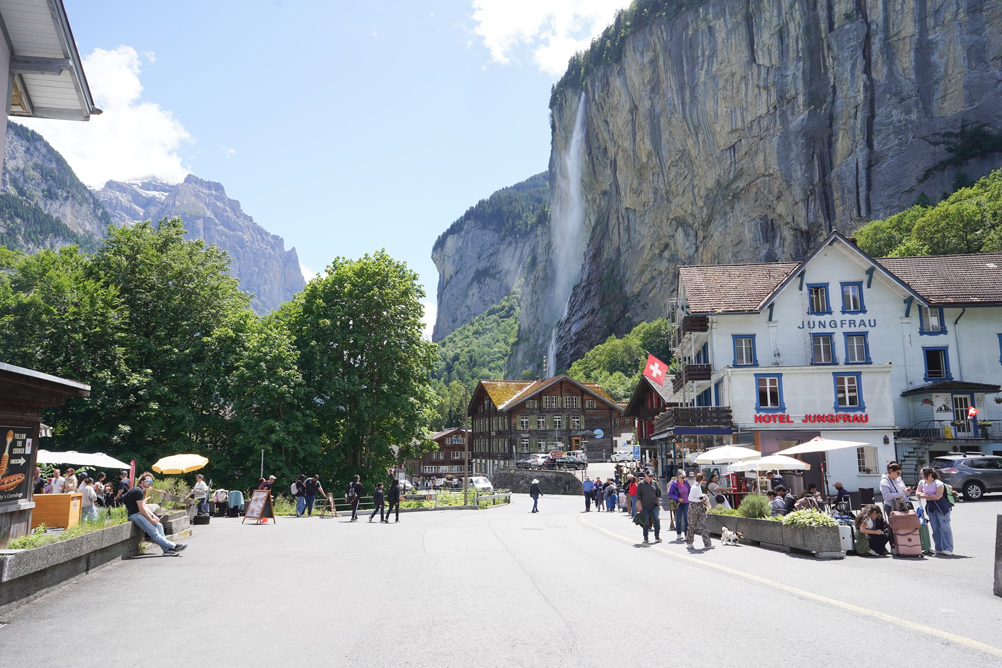
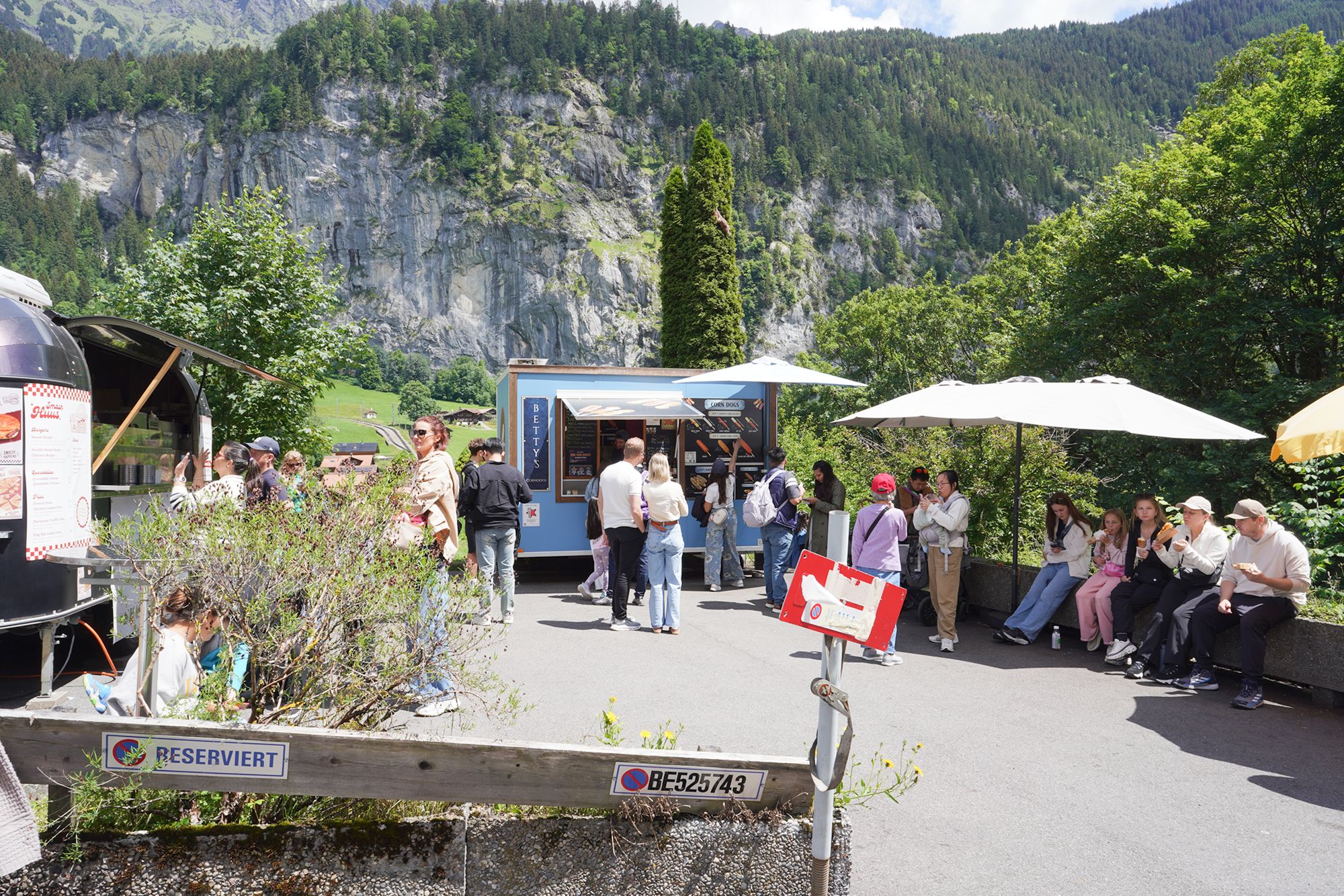
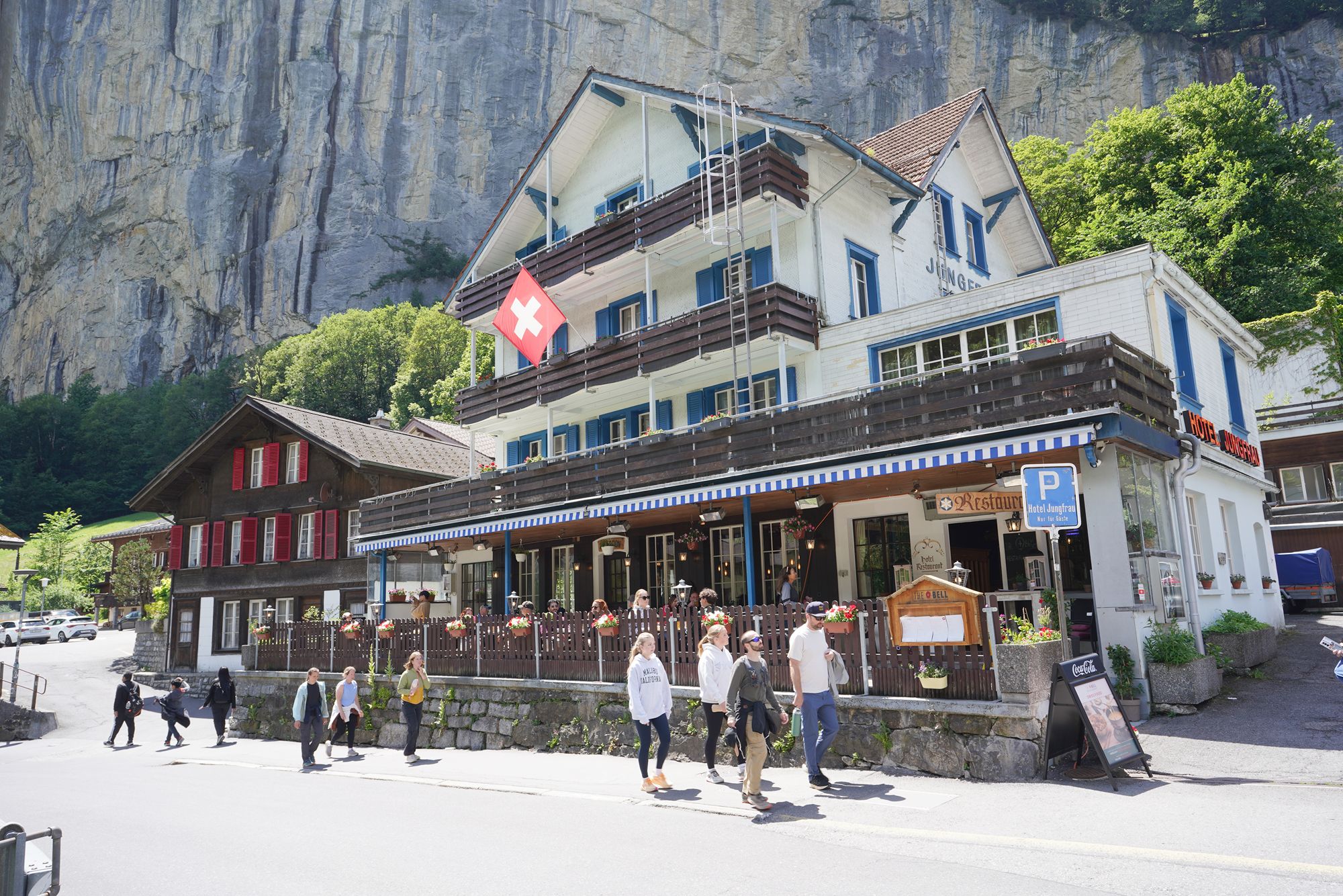
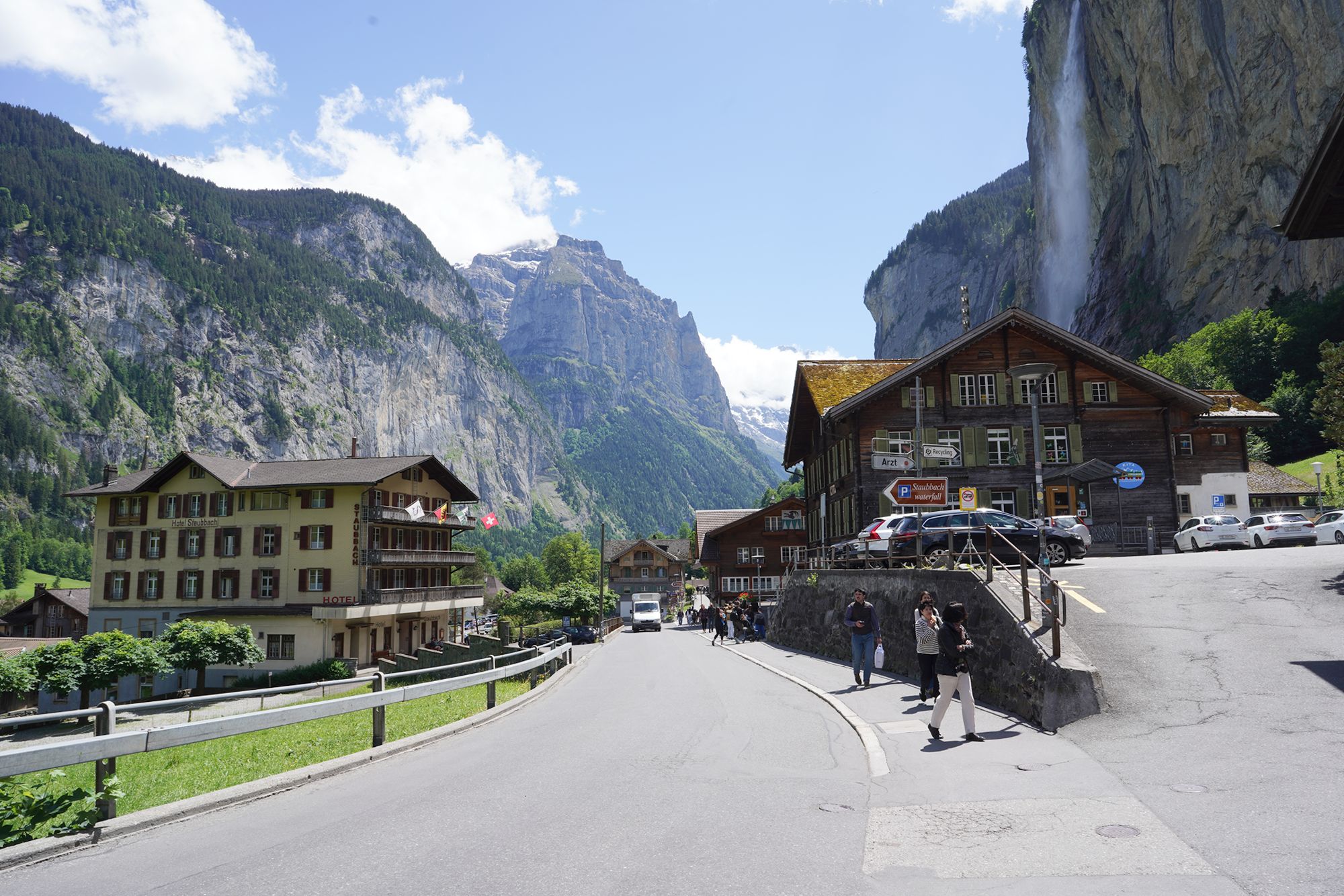
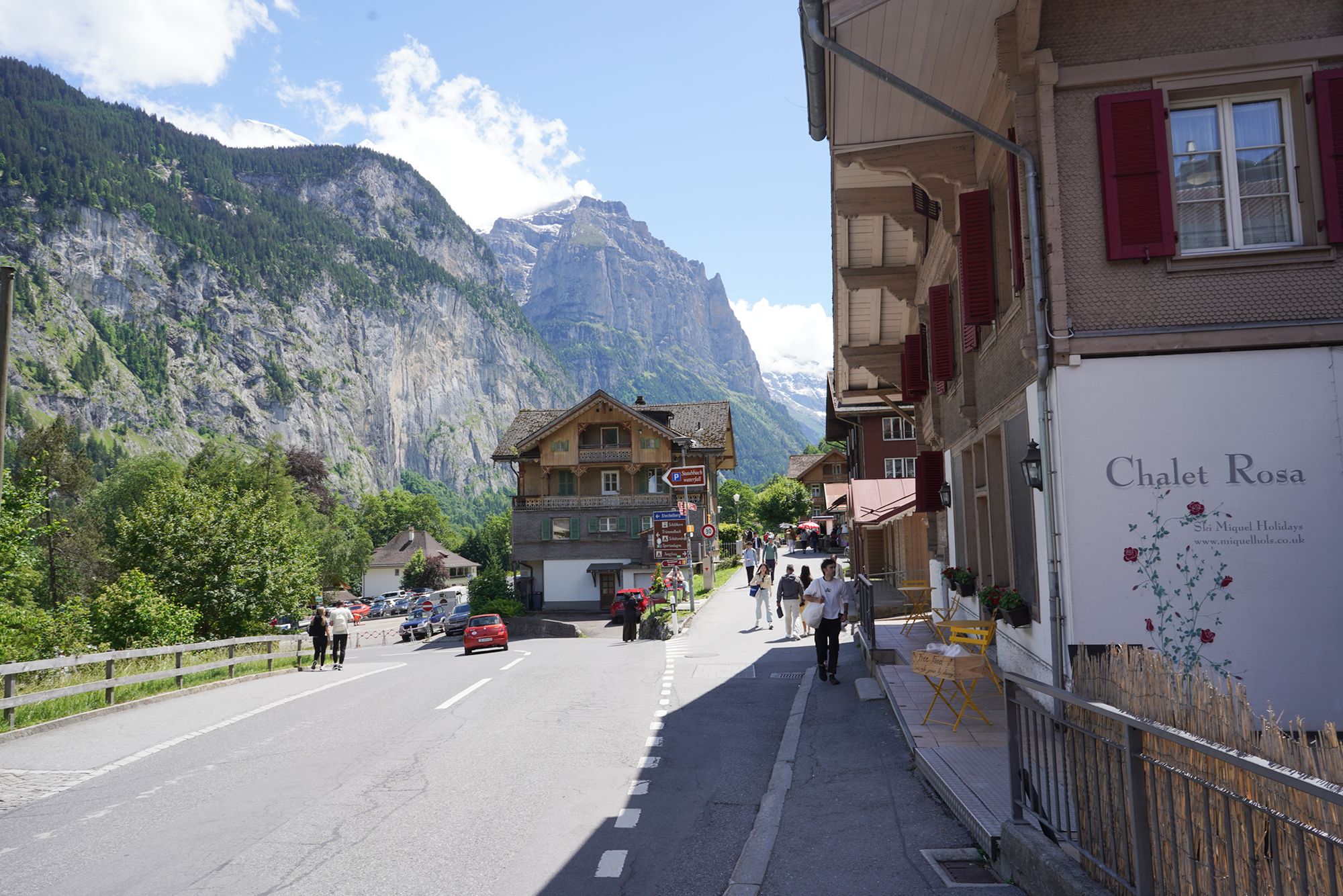
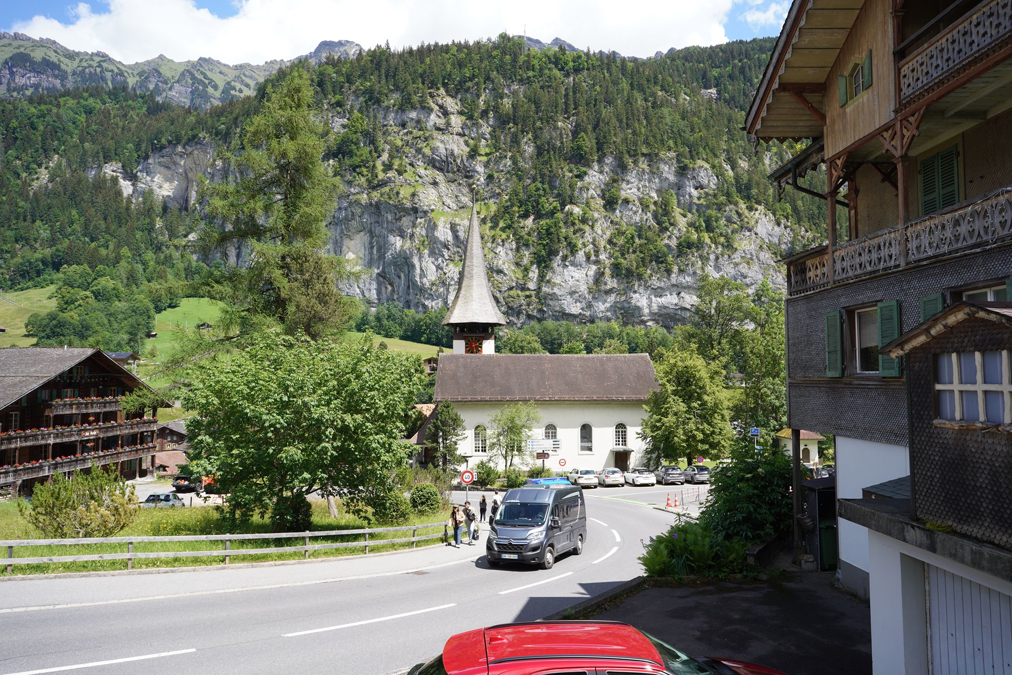
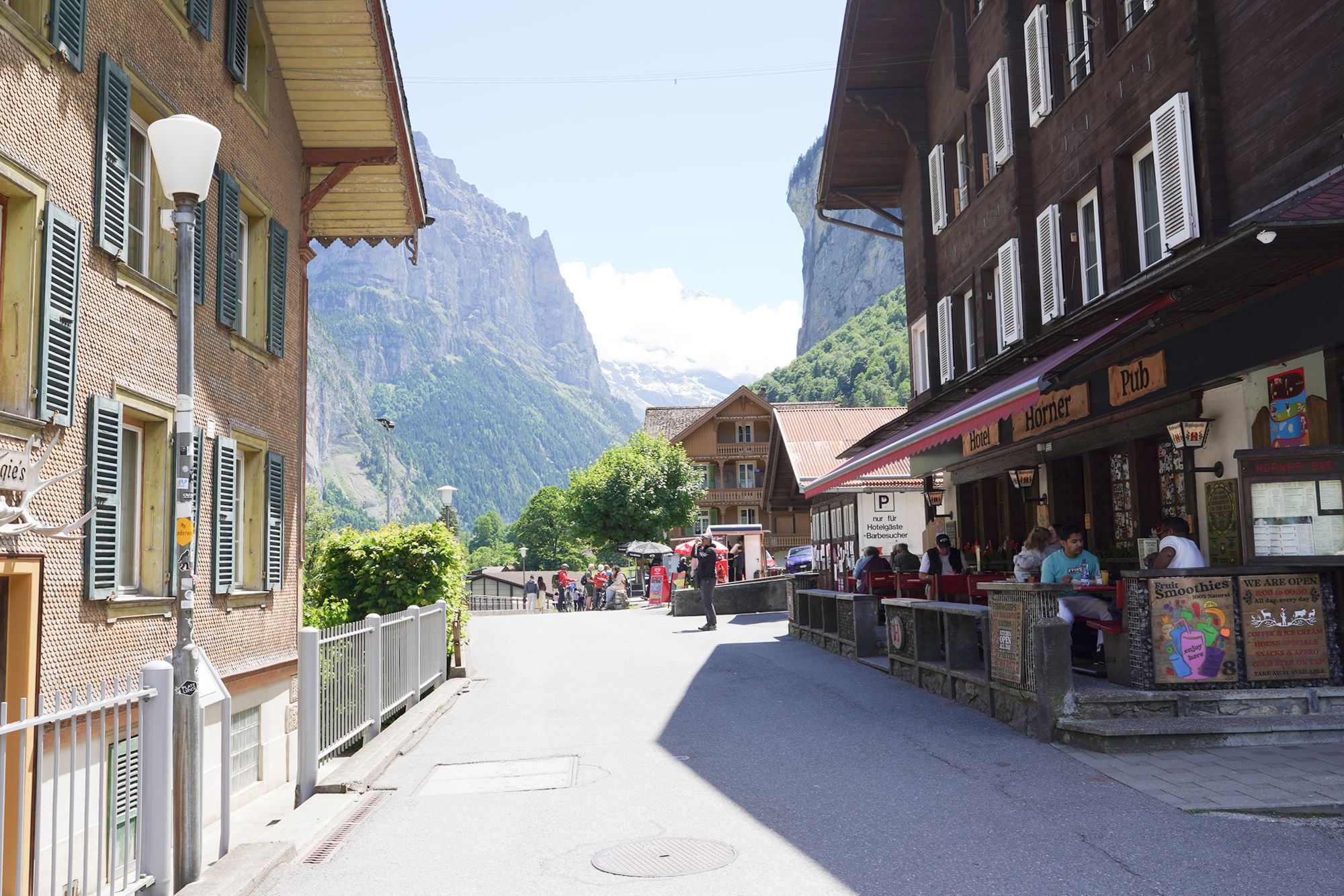
There are two main roads running through the Lauterbrunnen Valley—one for cars and another for pedestrians. I chose the car-free walking road, which made for a much more peaceful walk through the valley.
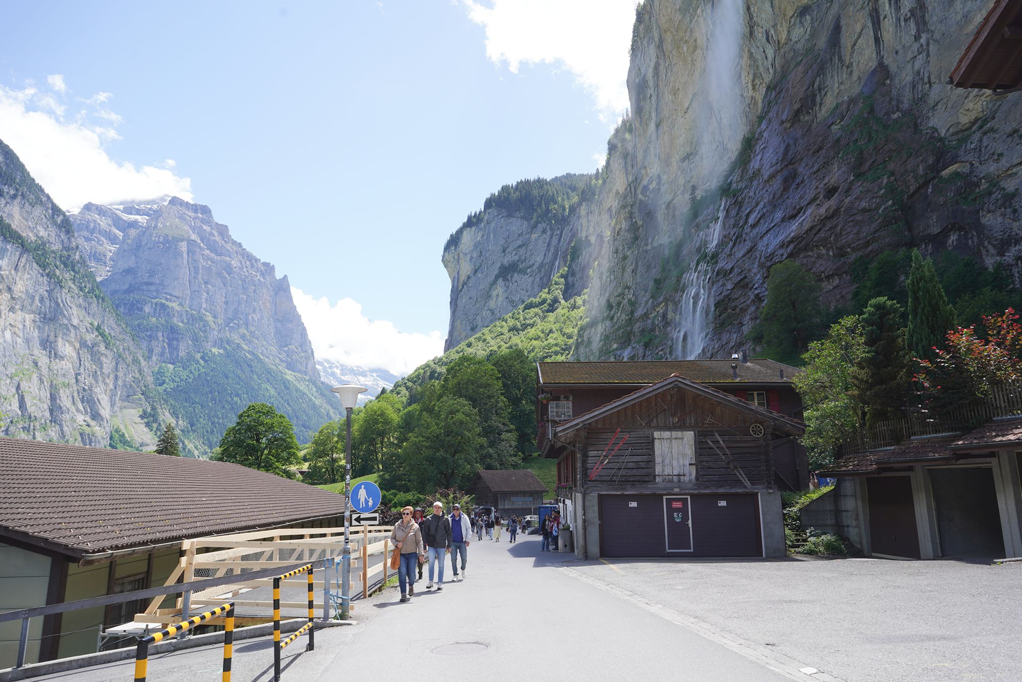
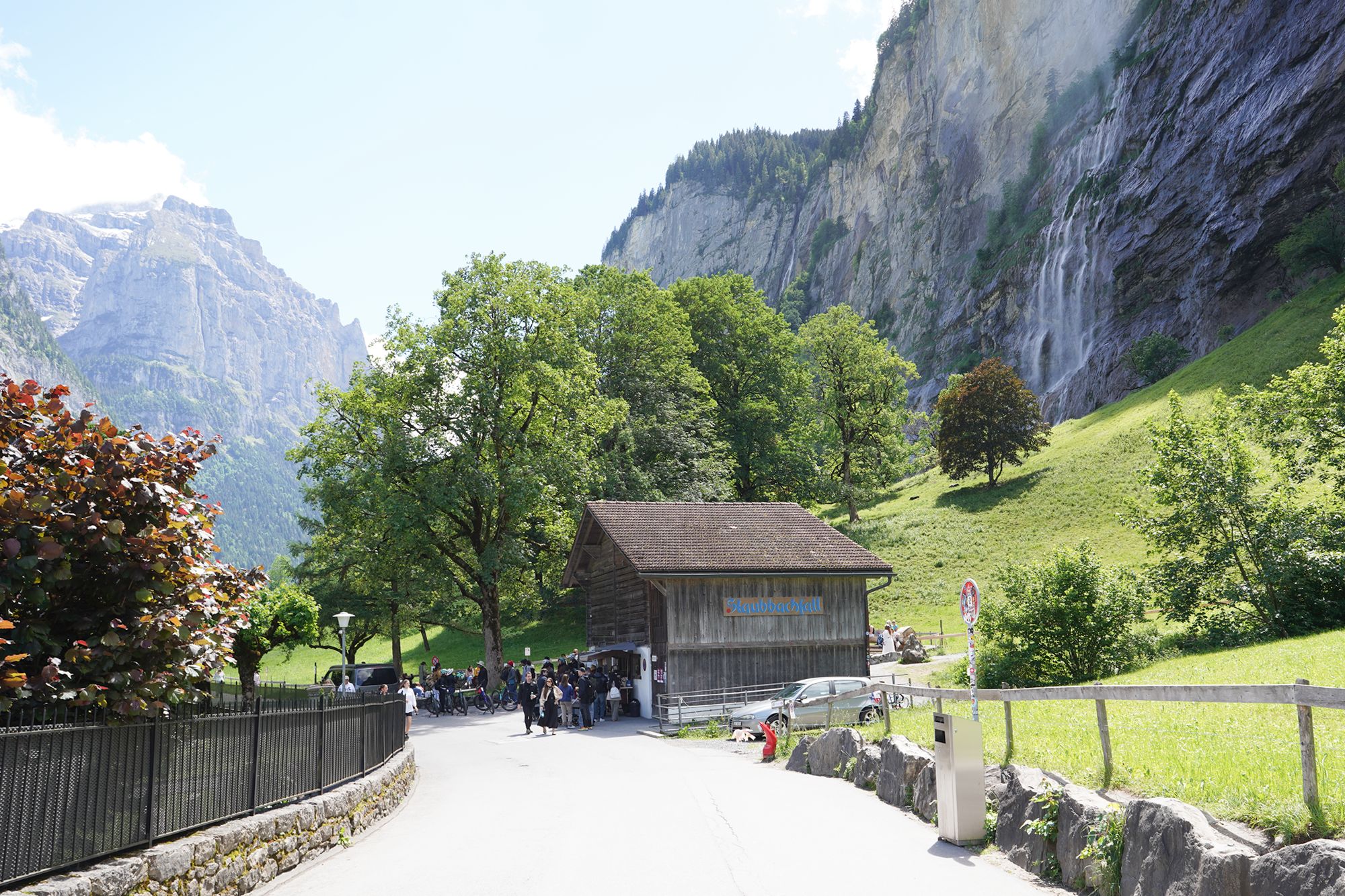
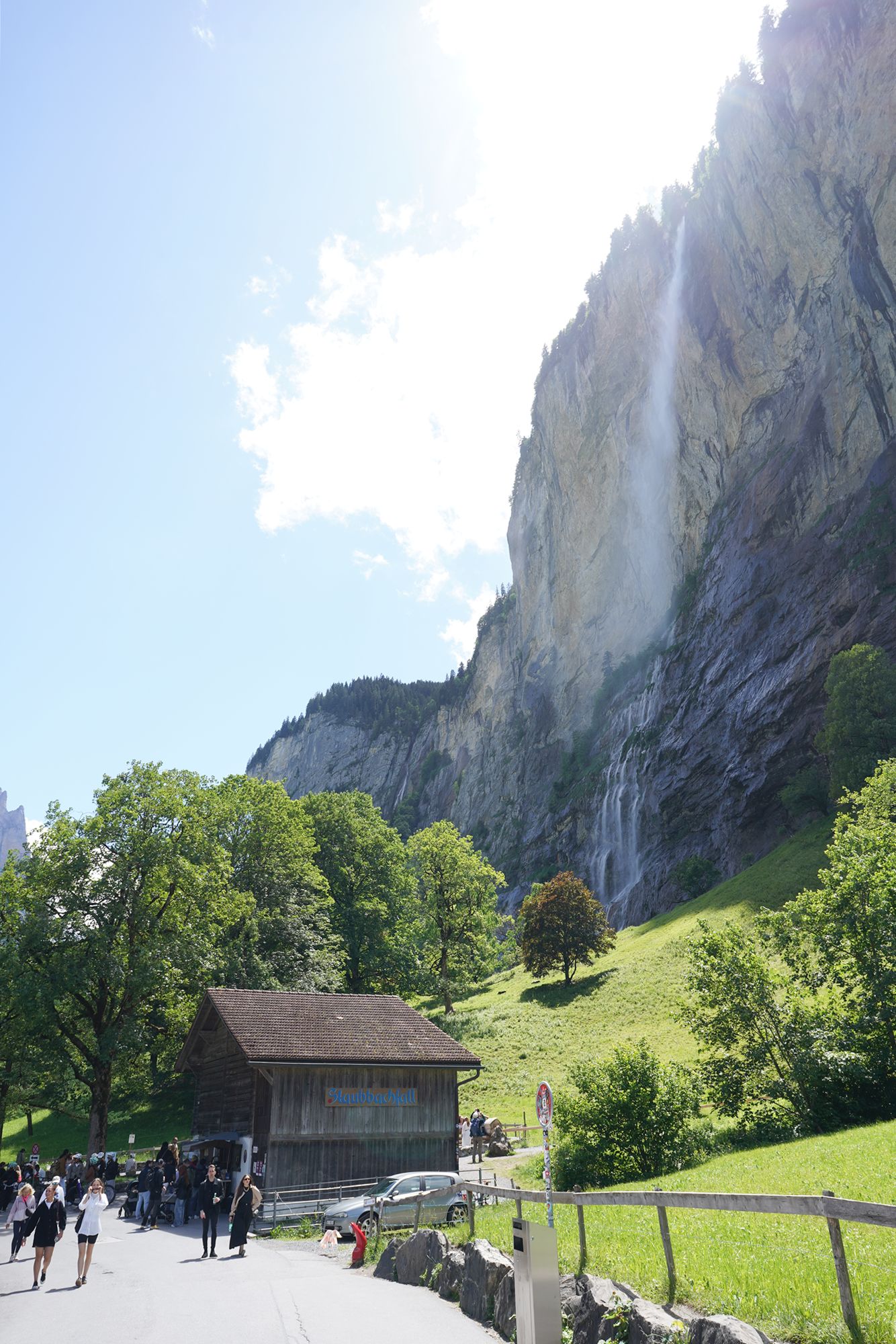
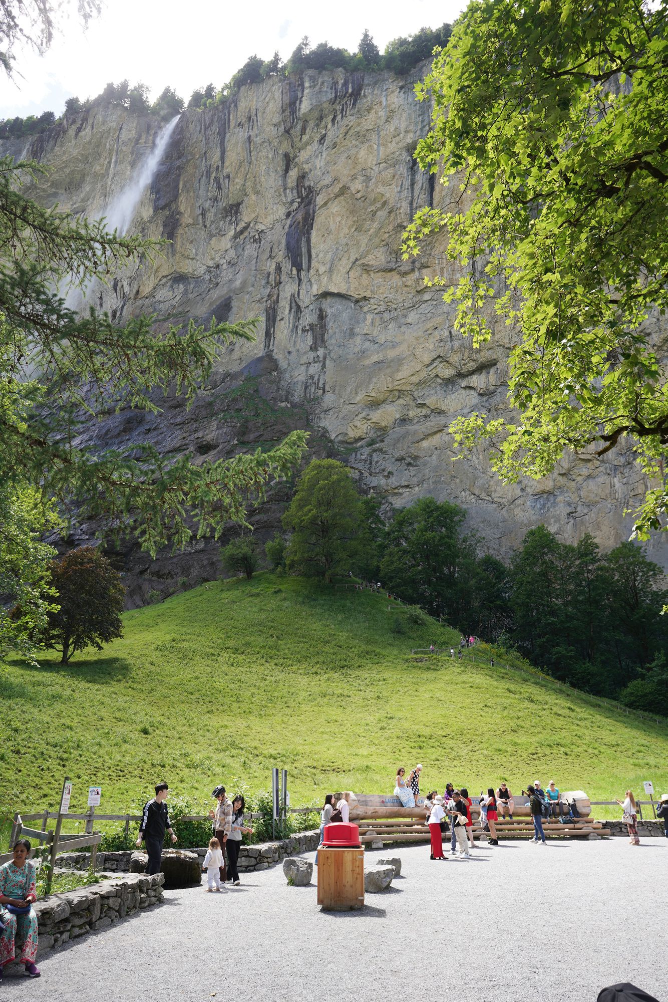
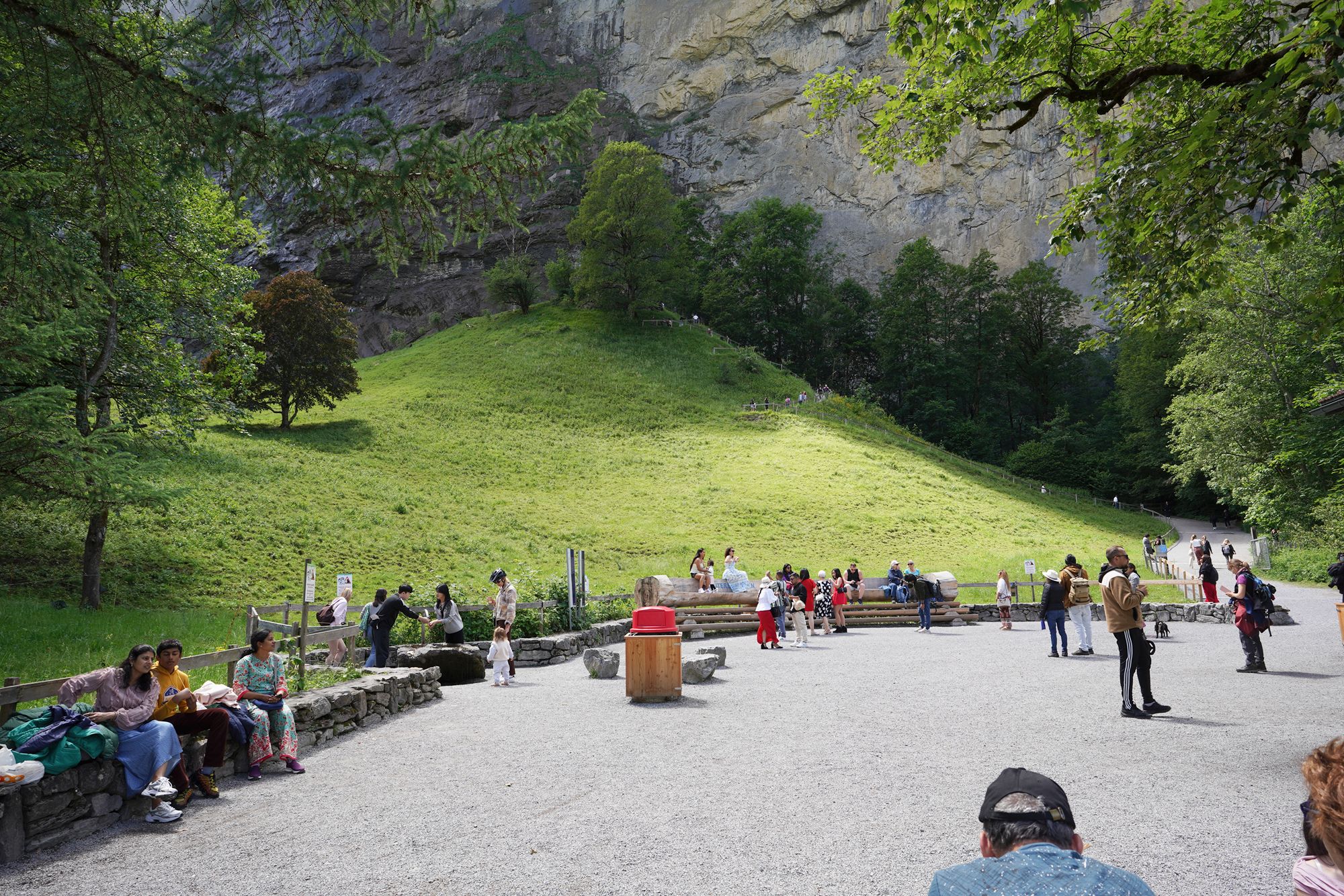
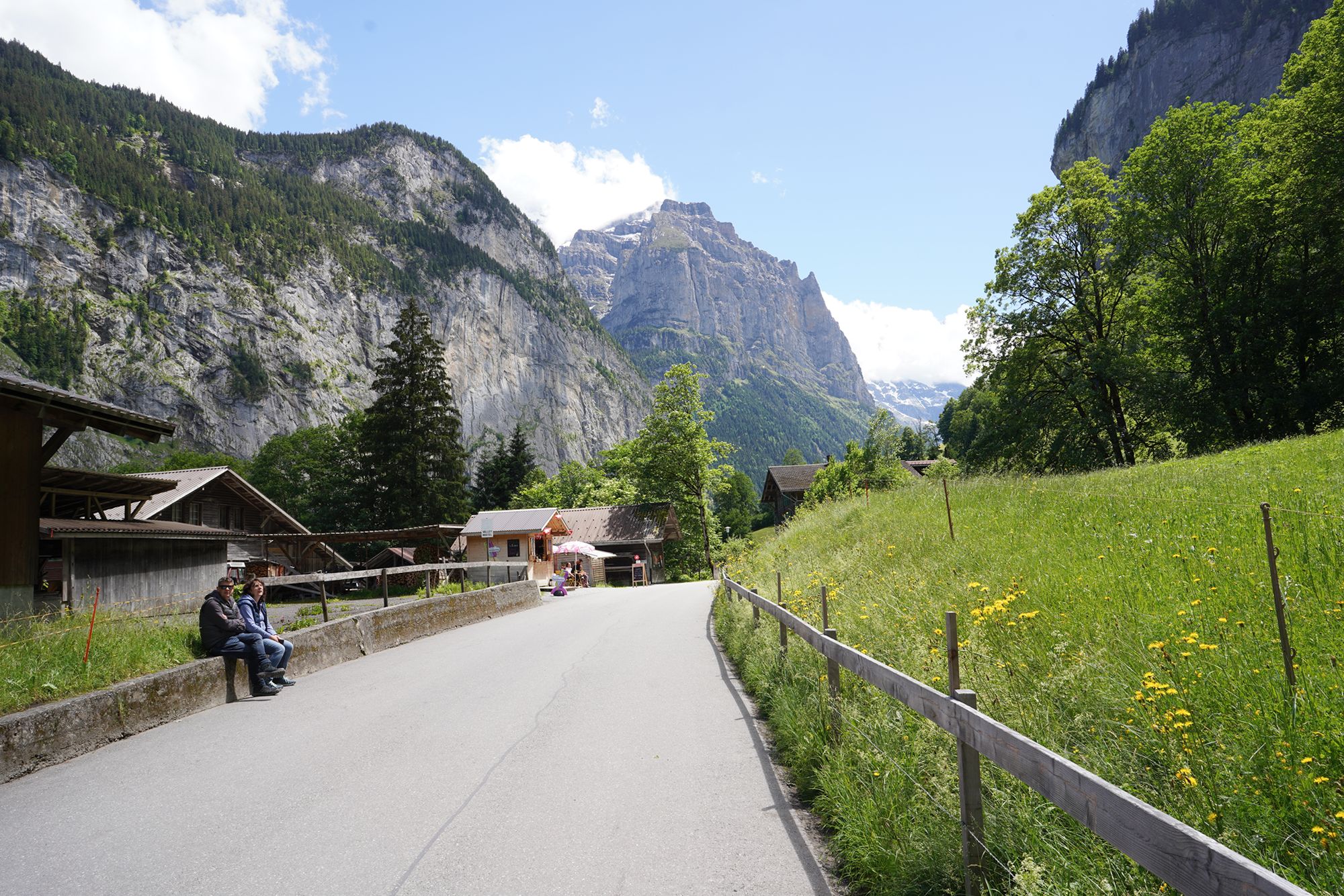
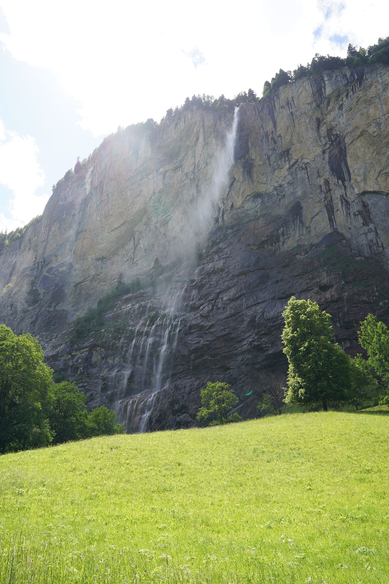
I kept walking through the Lauterbrunnen Valley toward the cable car station for Mürren. I knew it was too far to walk the entire way, so my plan was to enjoy part of the valley on foot and eventually catch a bus.
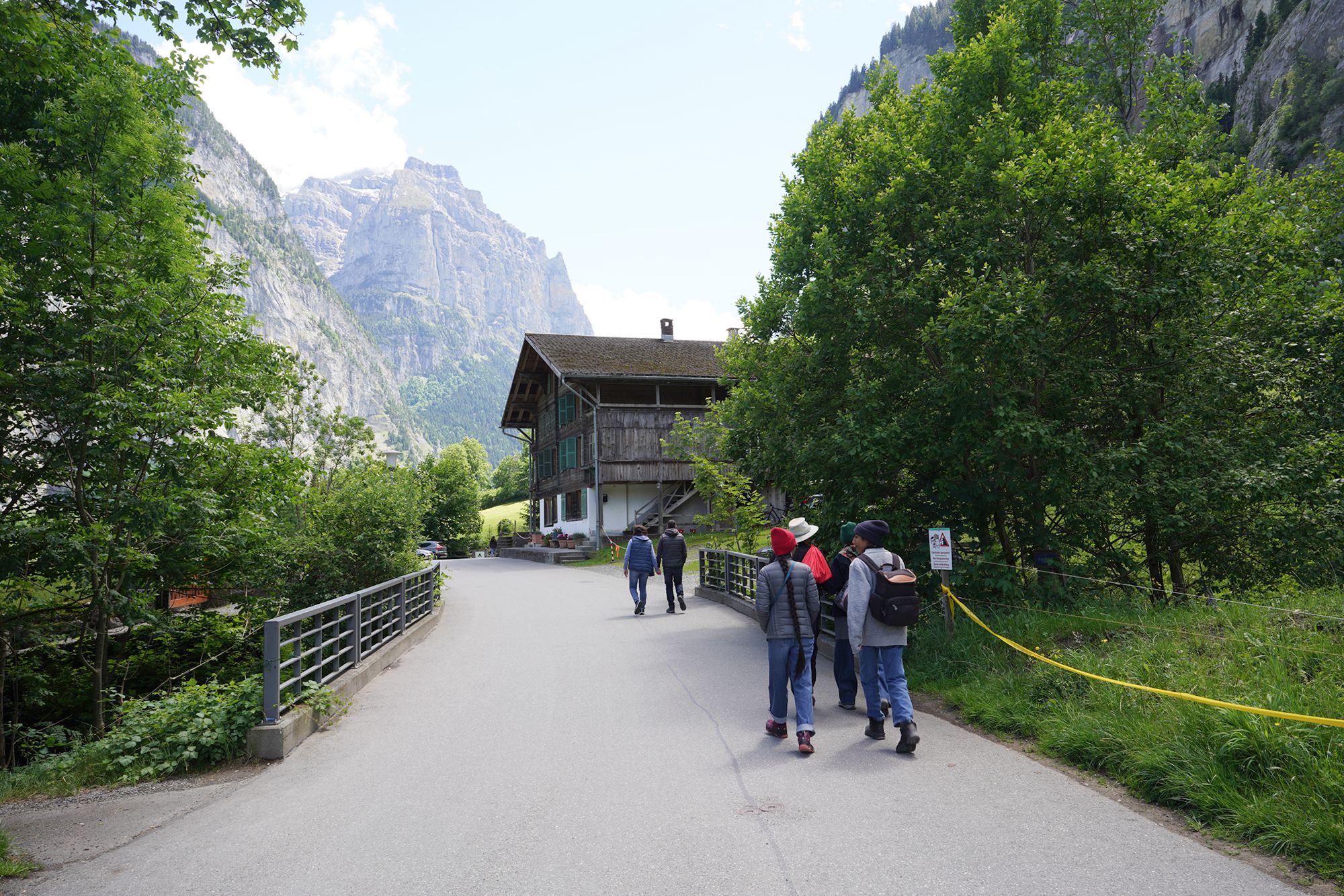
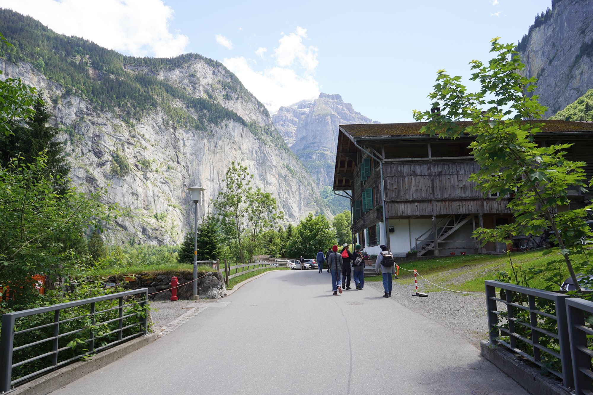
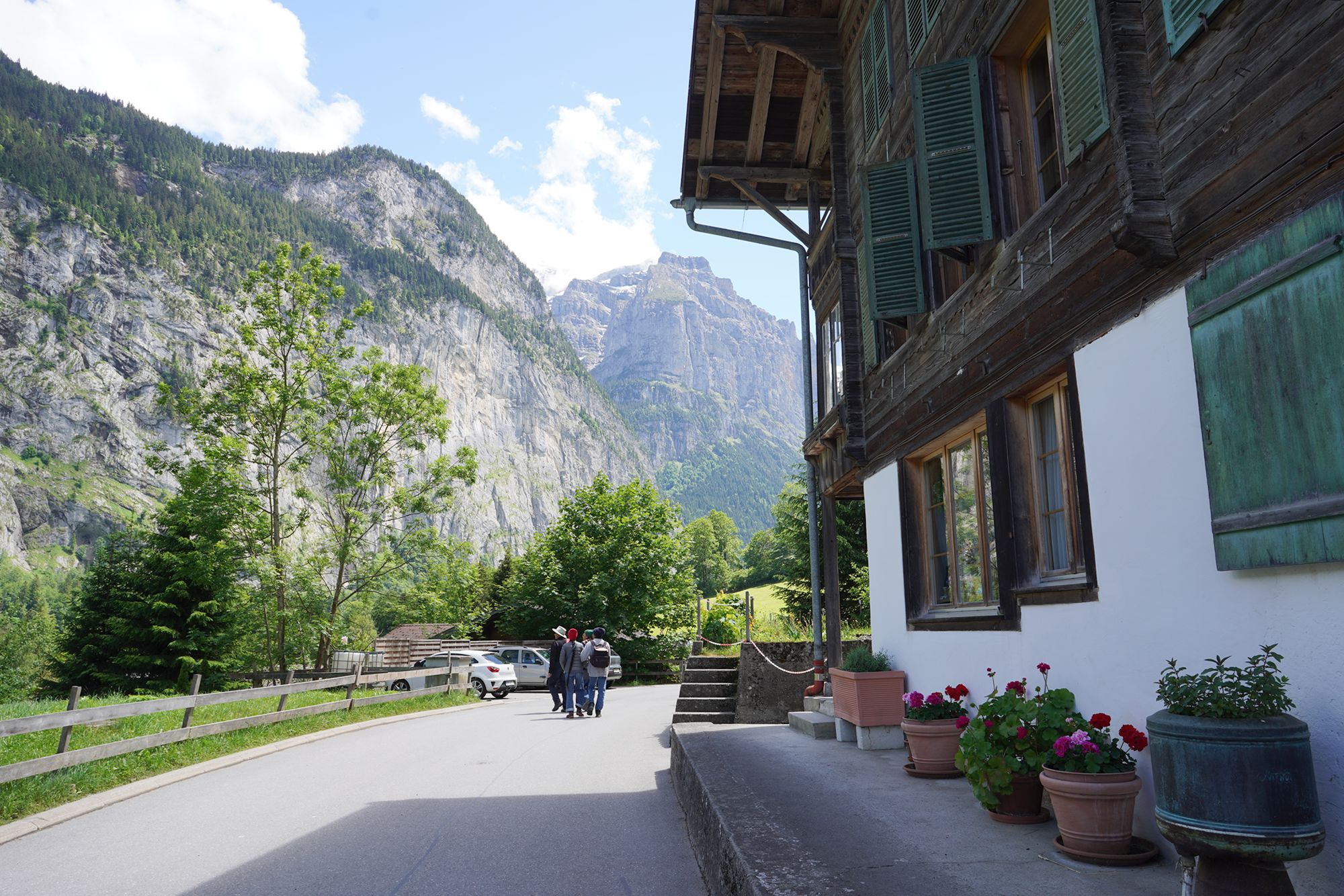
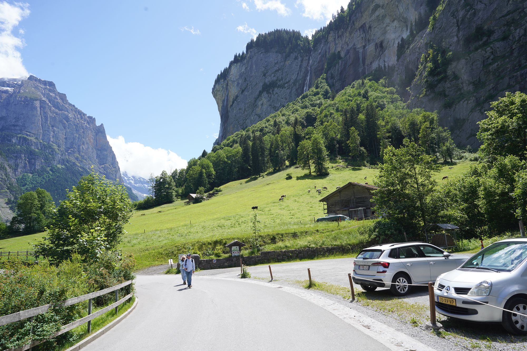
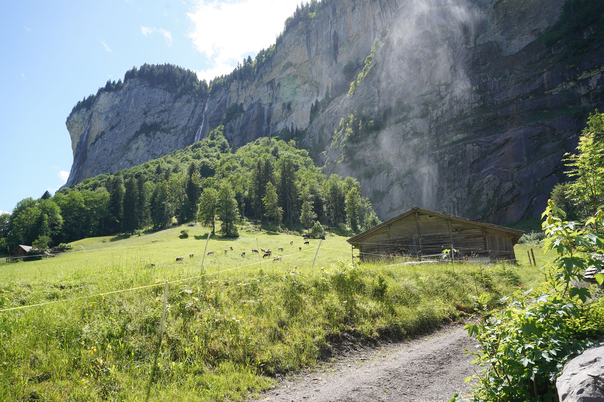
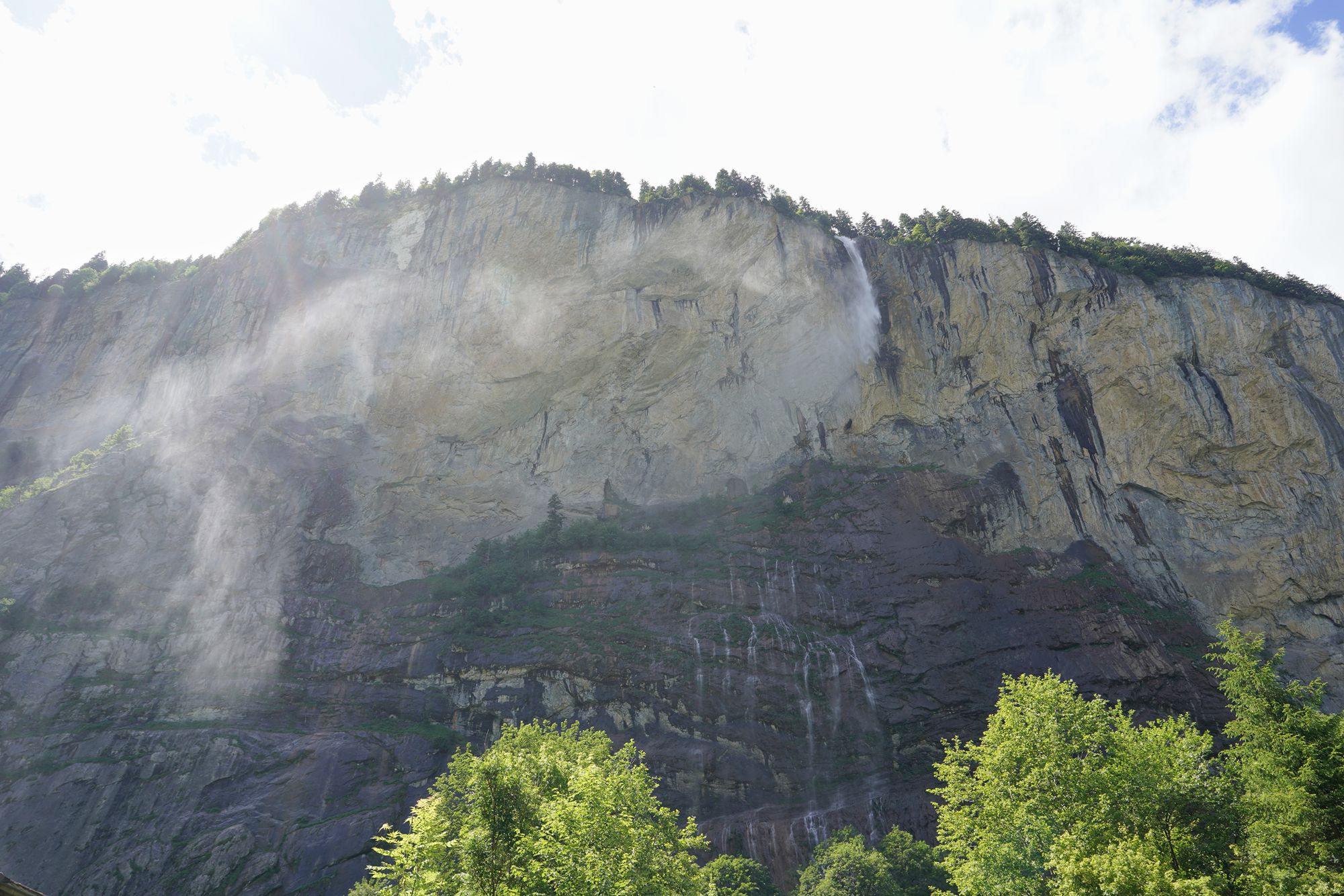
When the wind blows, the falling water breaks into a fine mist and drifts through the air, making Staubbach Falls look even more dramatic.
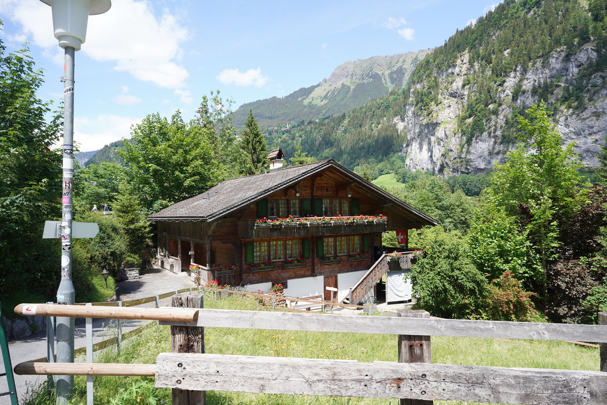
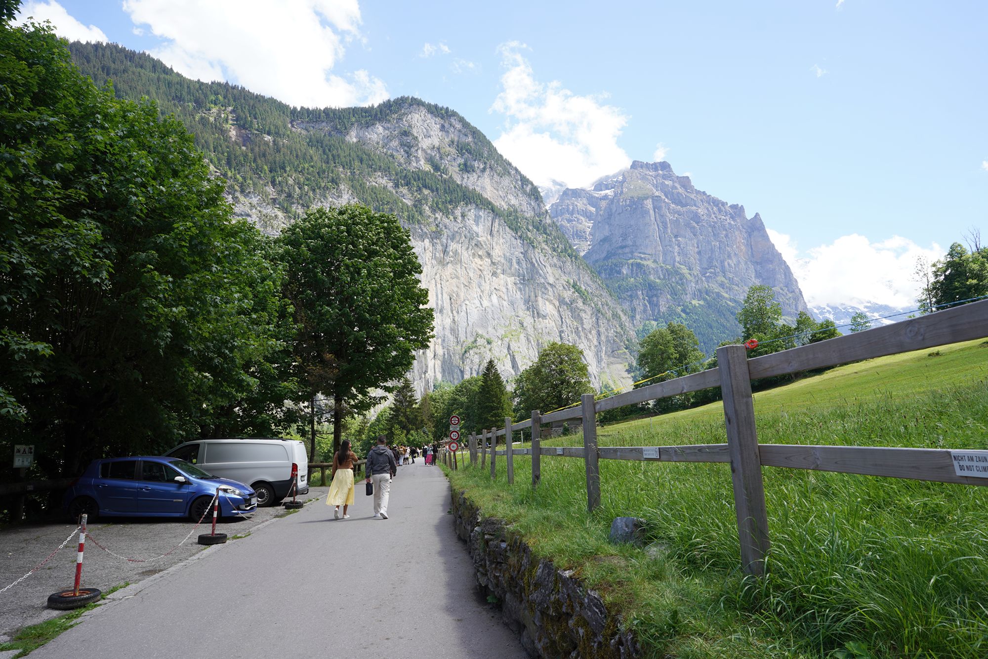
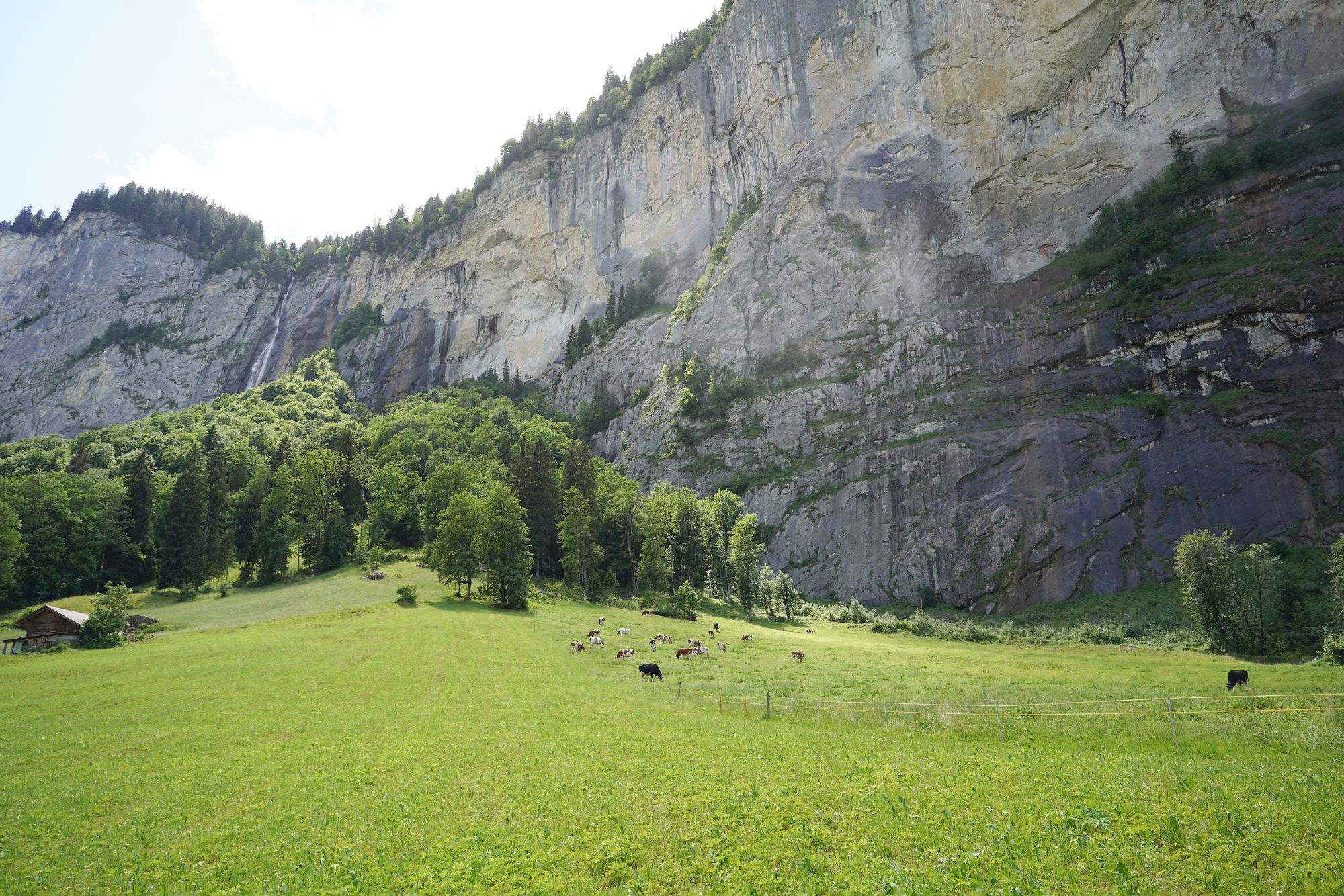
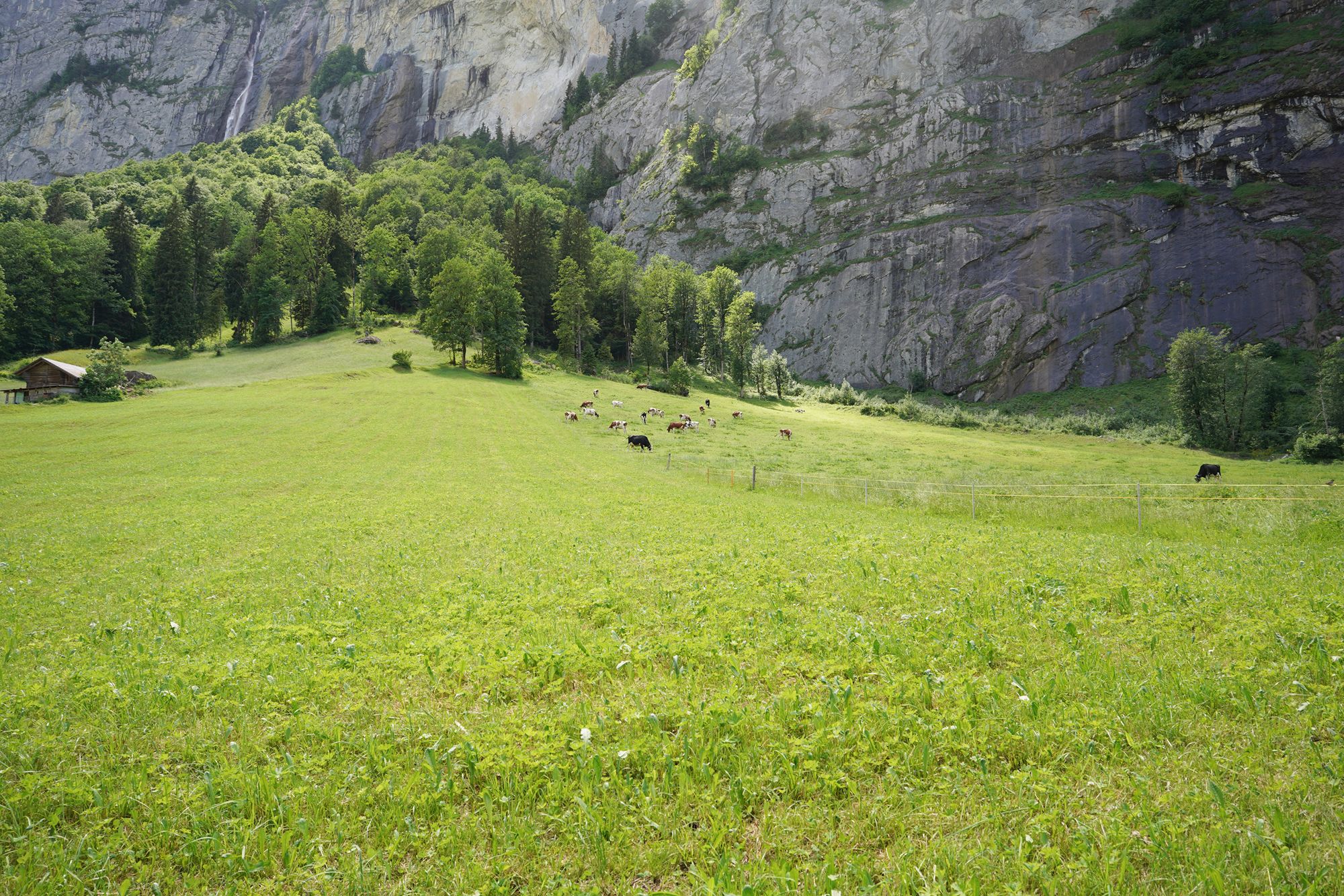
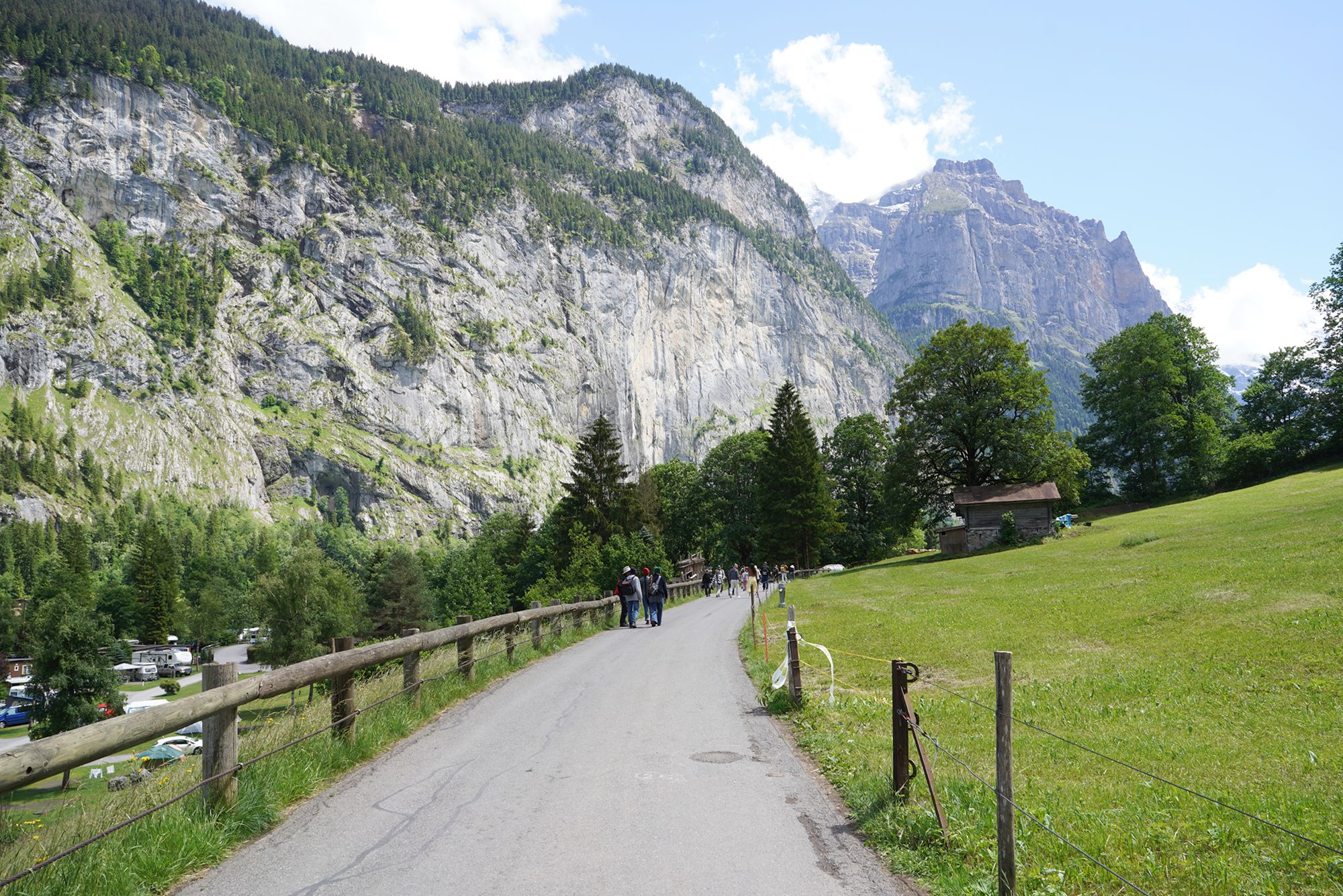
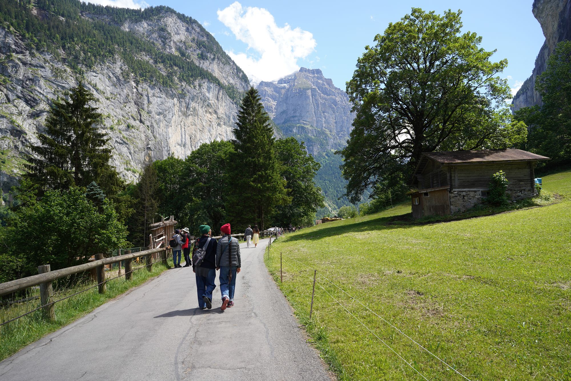
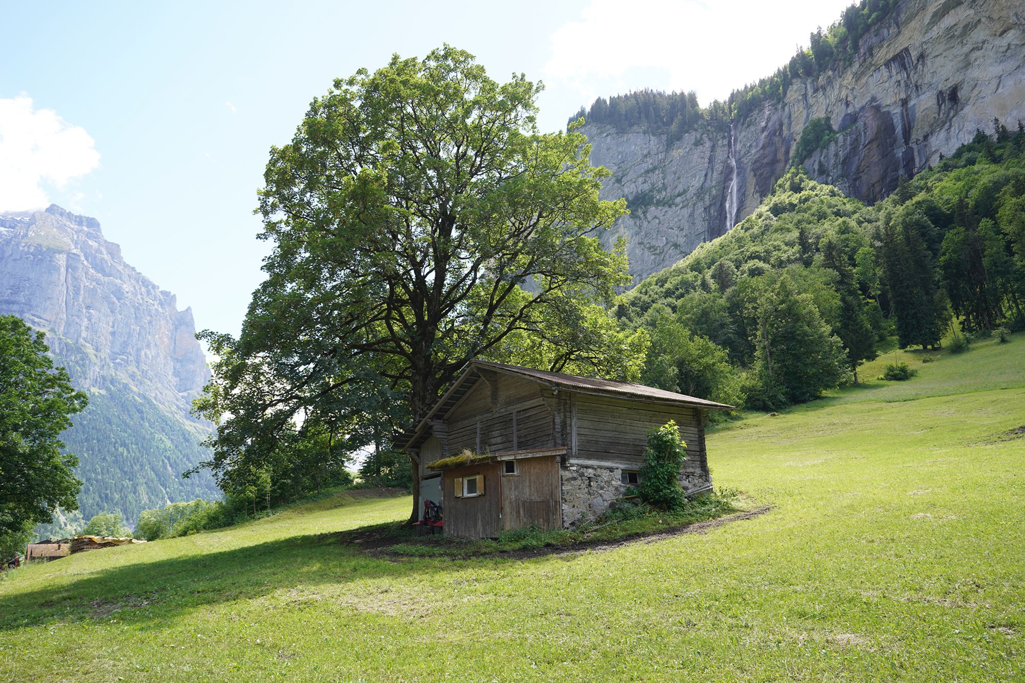
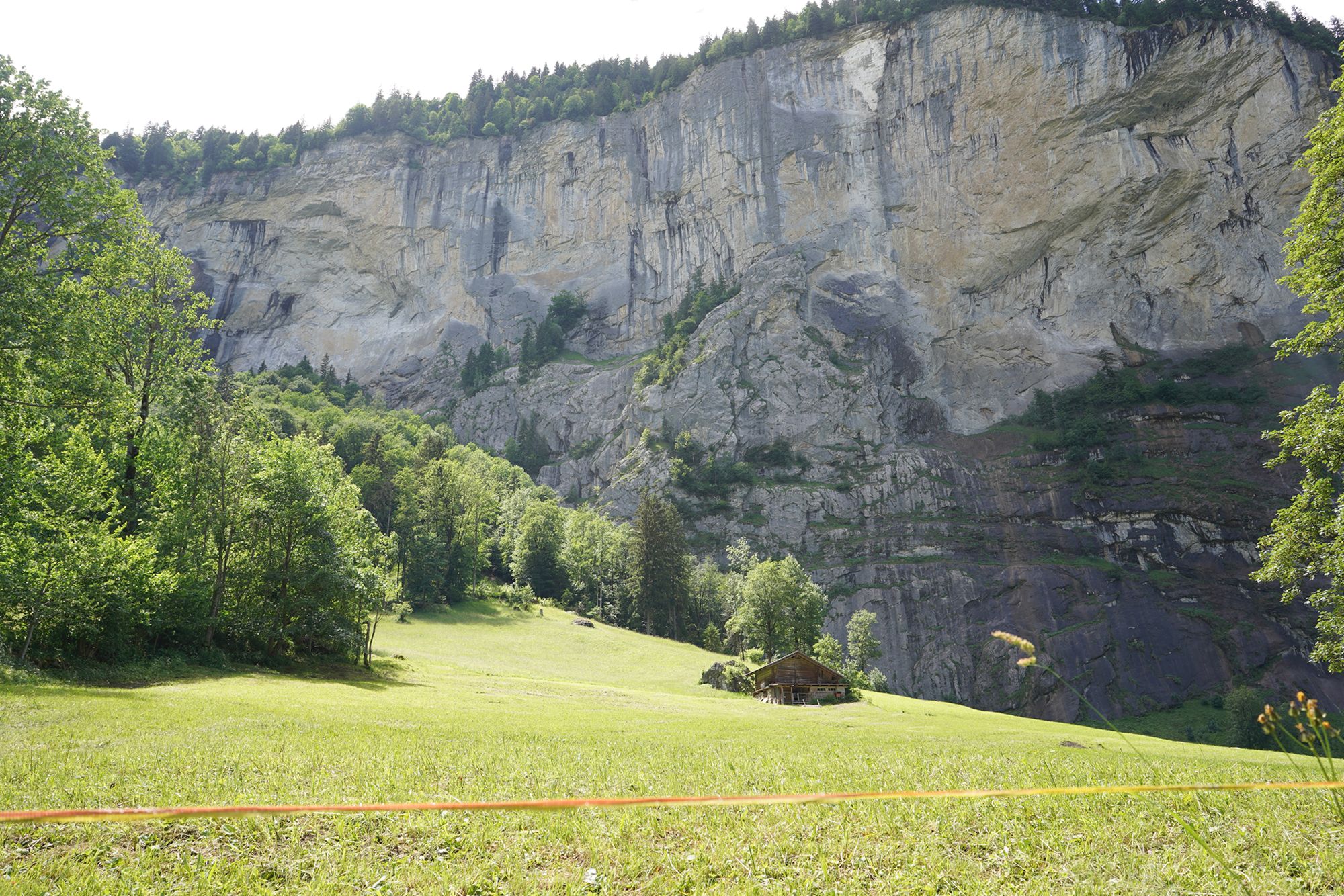
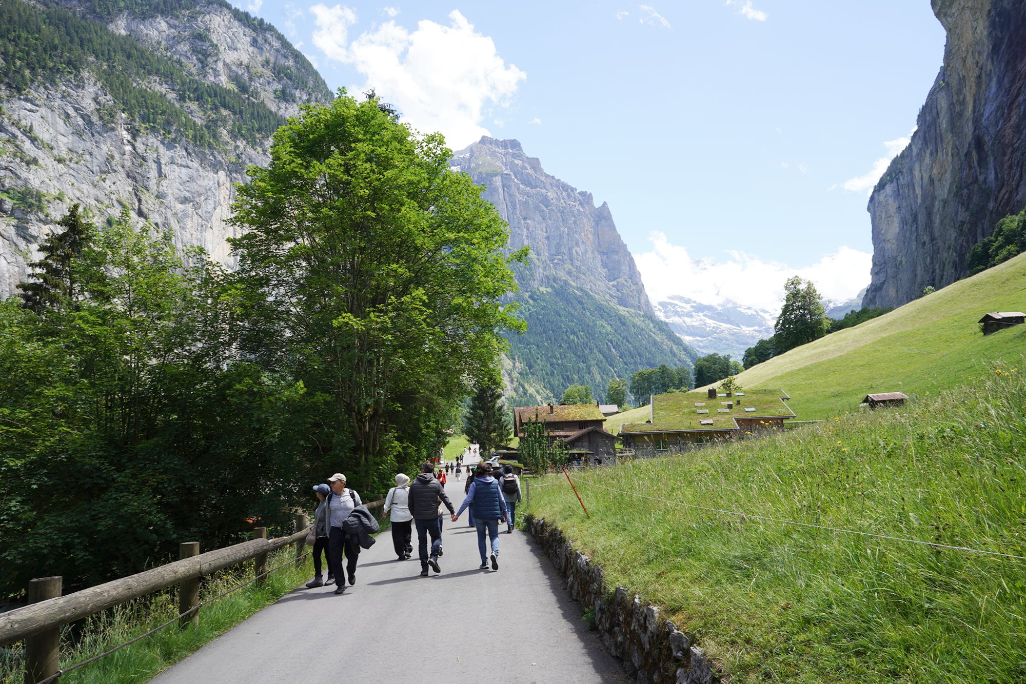
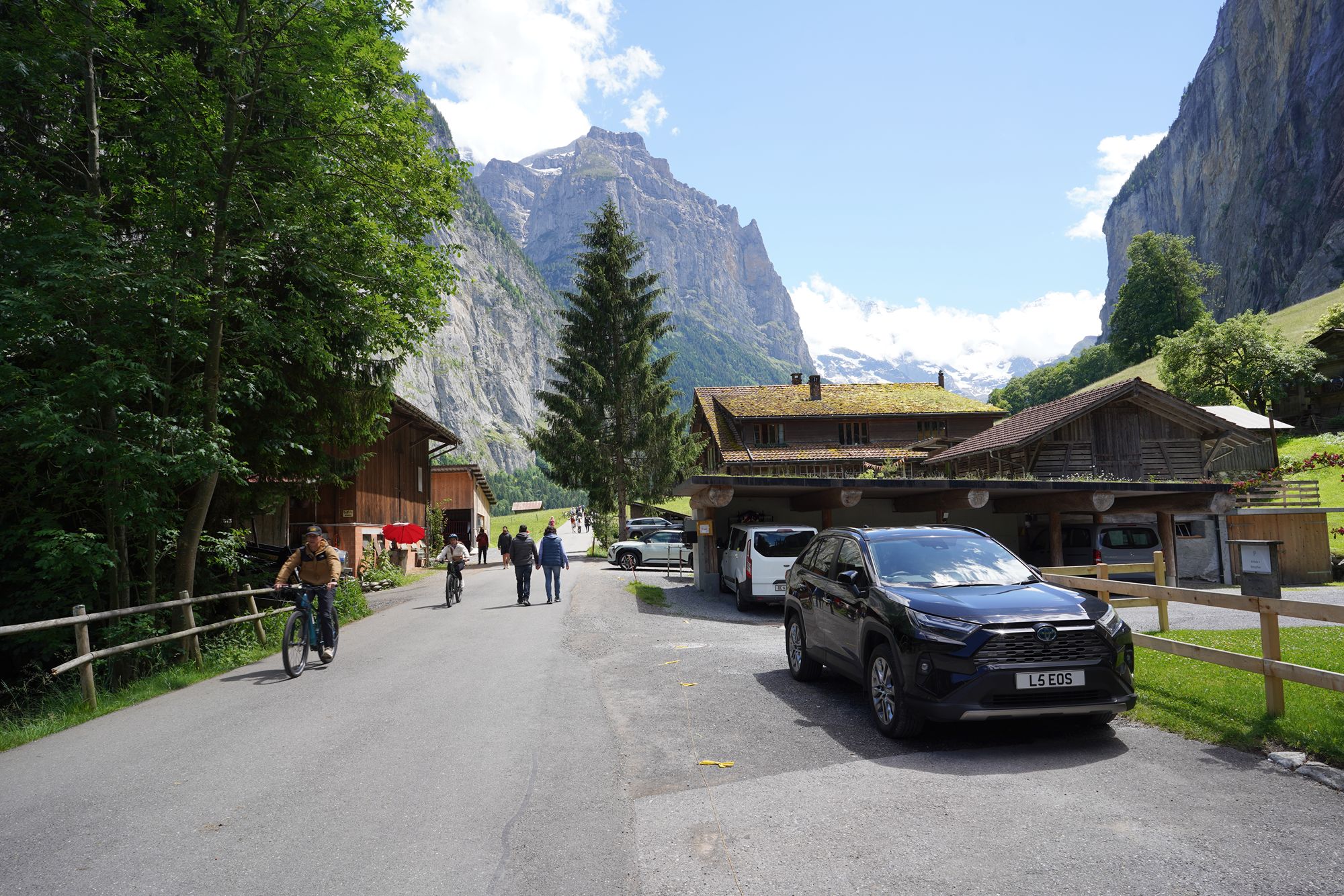
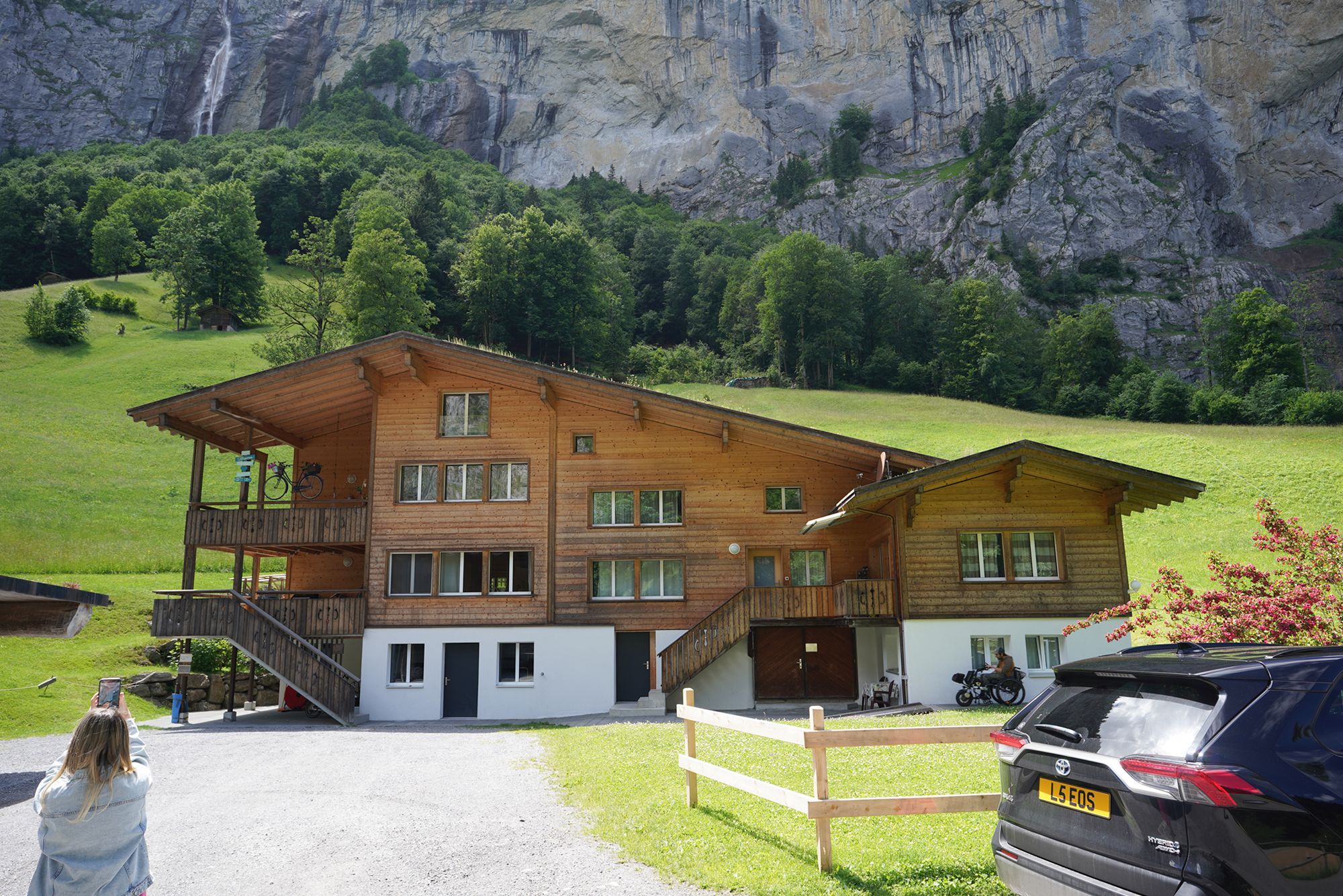
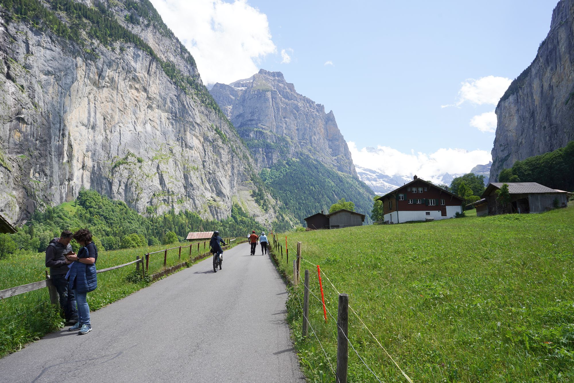
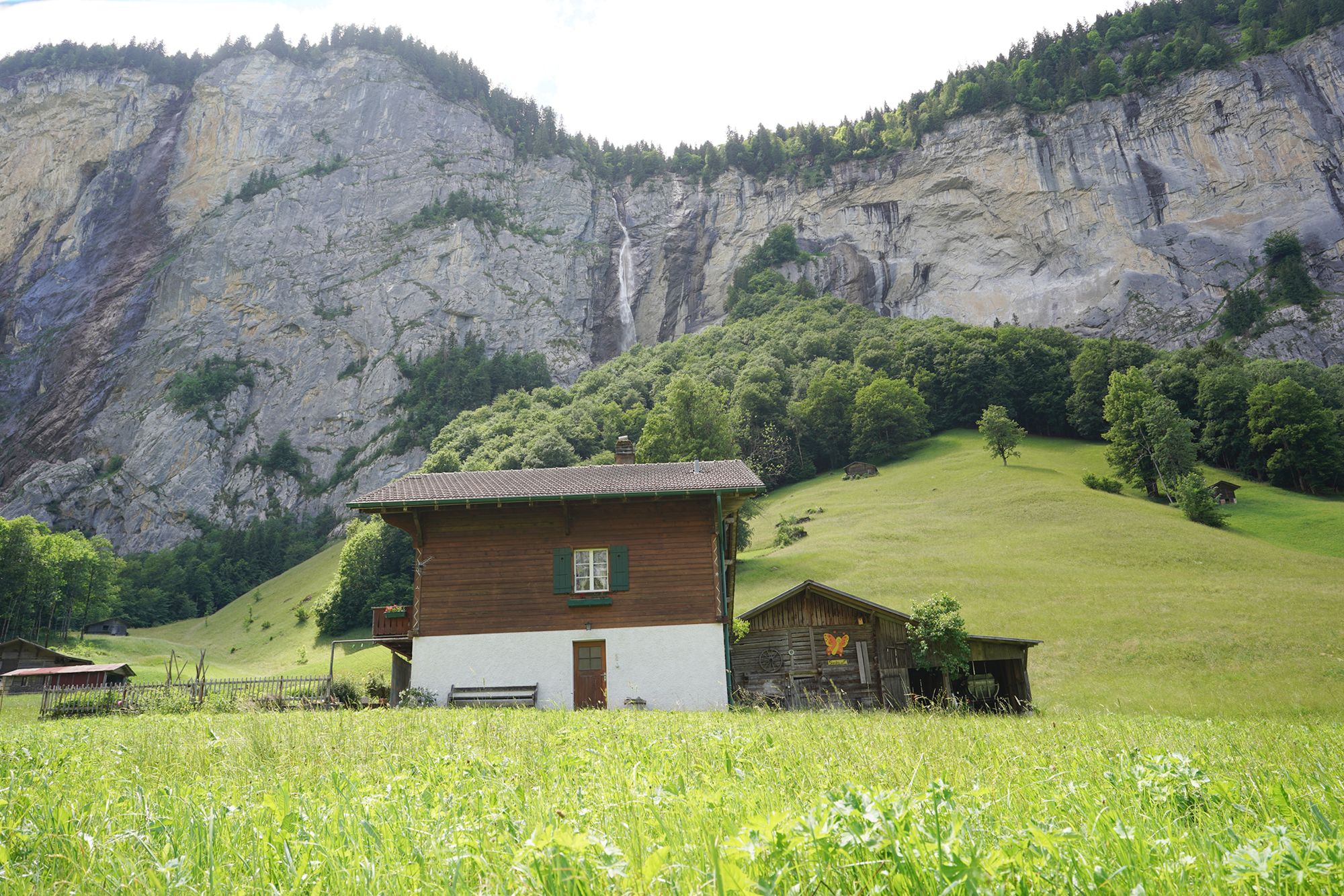
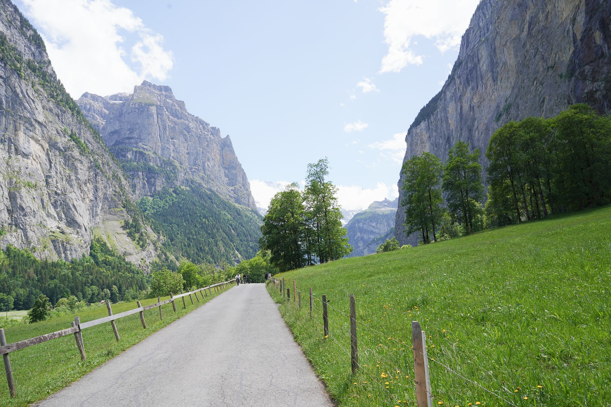
A view behind me
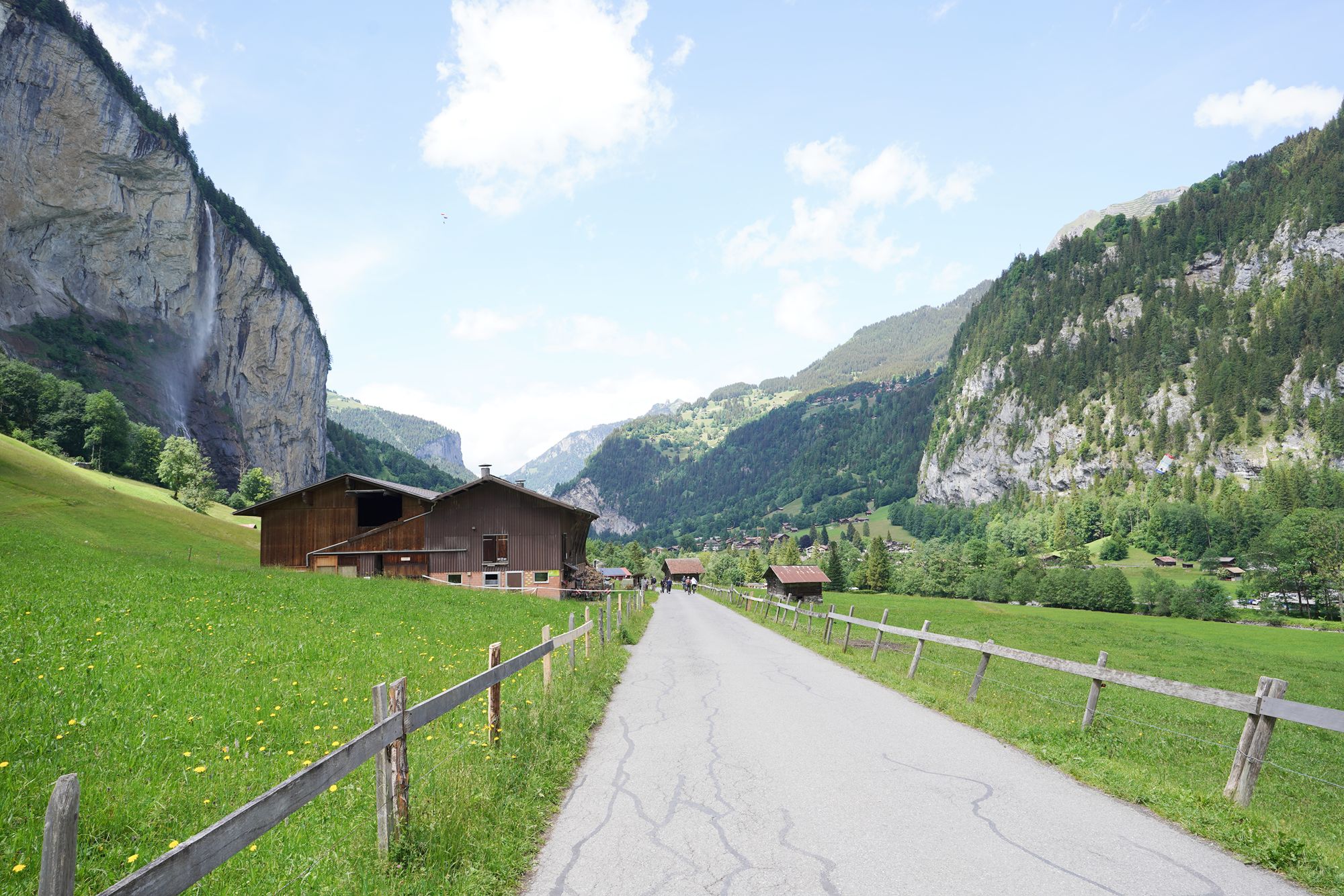
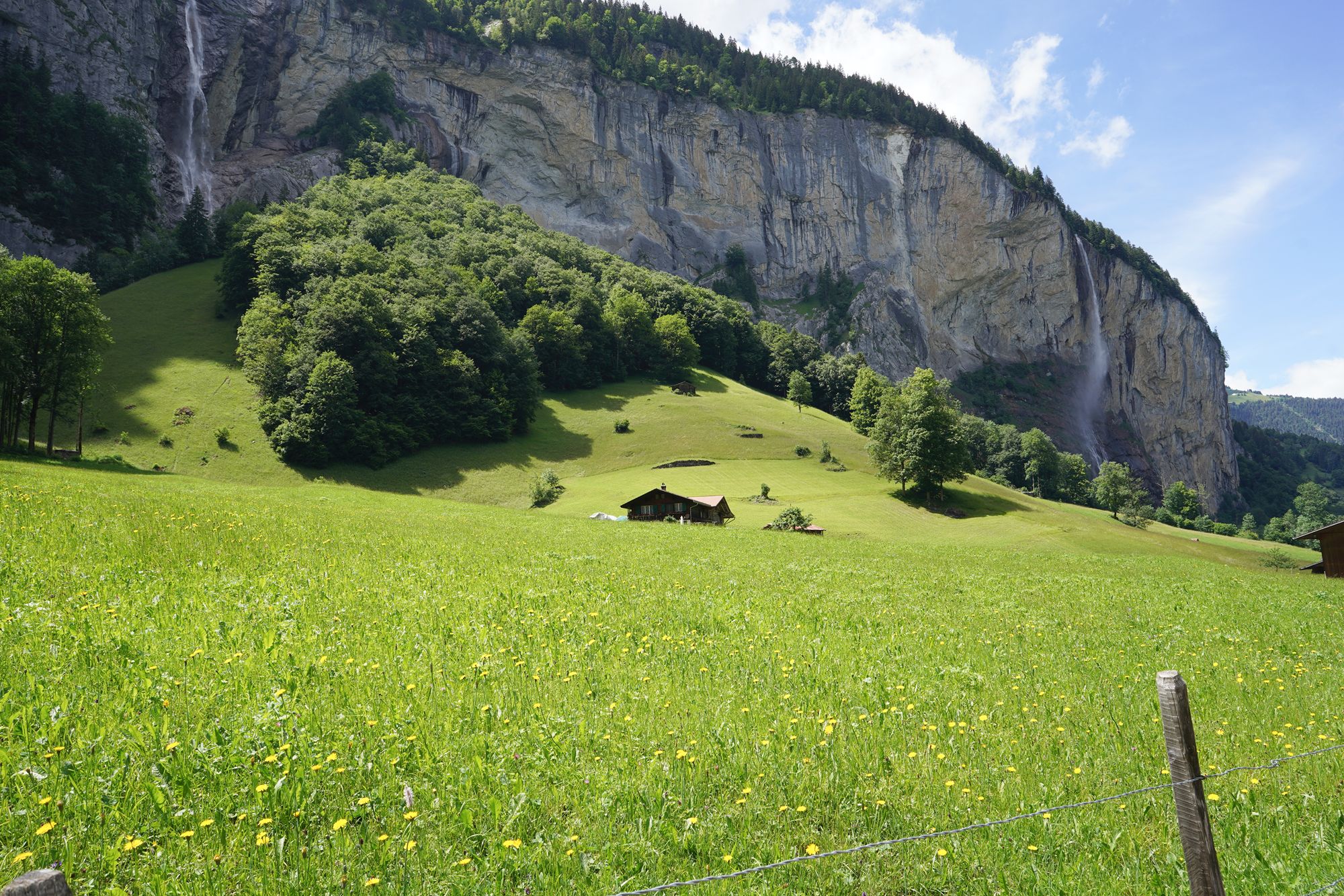
At this point, I decided to take a bus, so I needed to leave the quiet walking road and cross over to the main road where the buses and other traffic run.
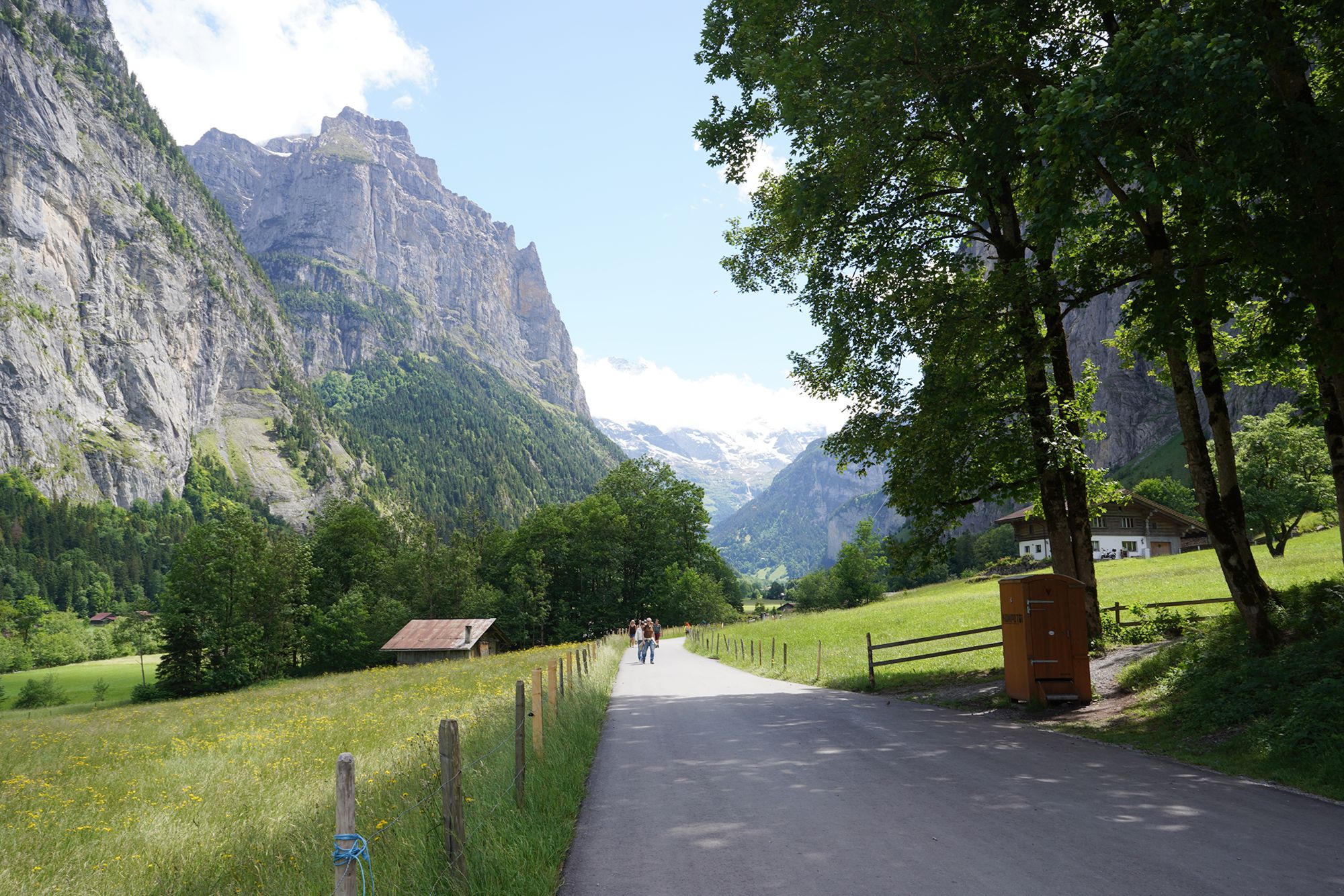
This narrow road leads from the walking path to the main road, where I could catch a bus.
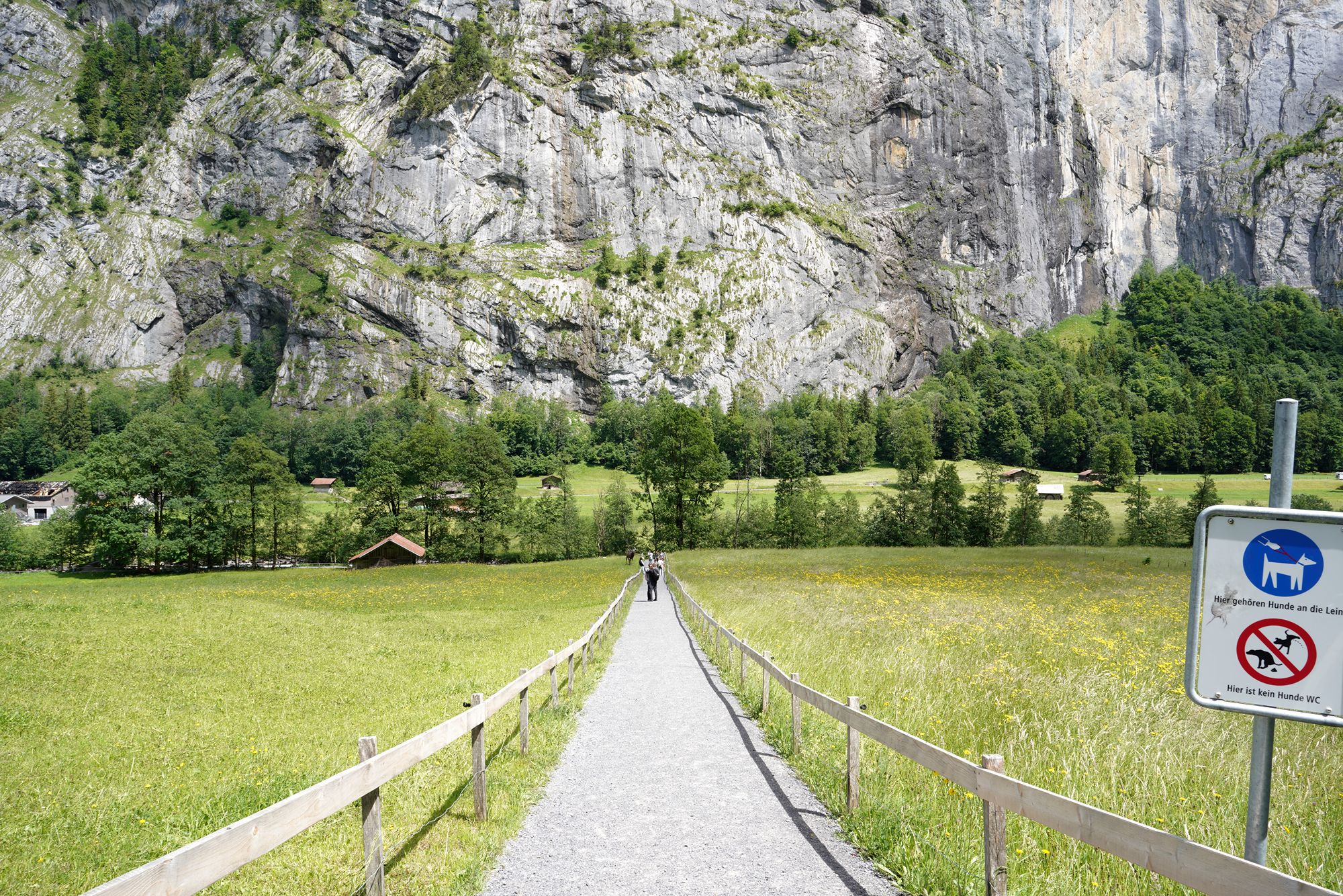
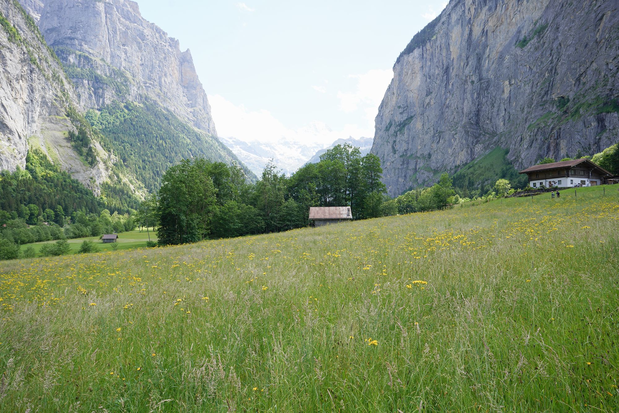
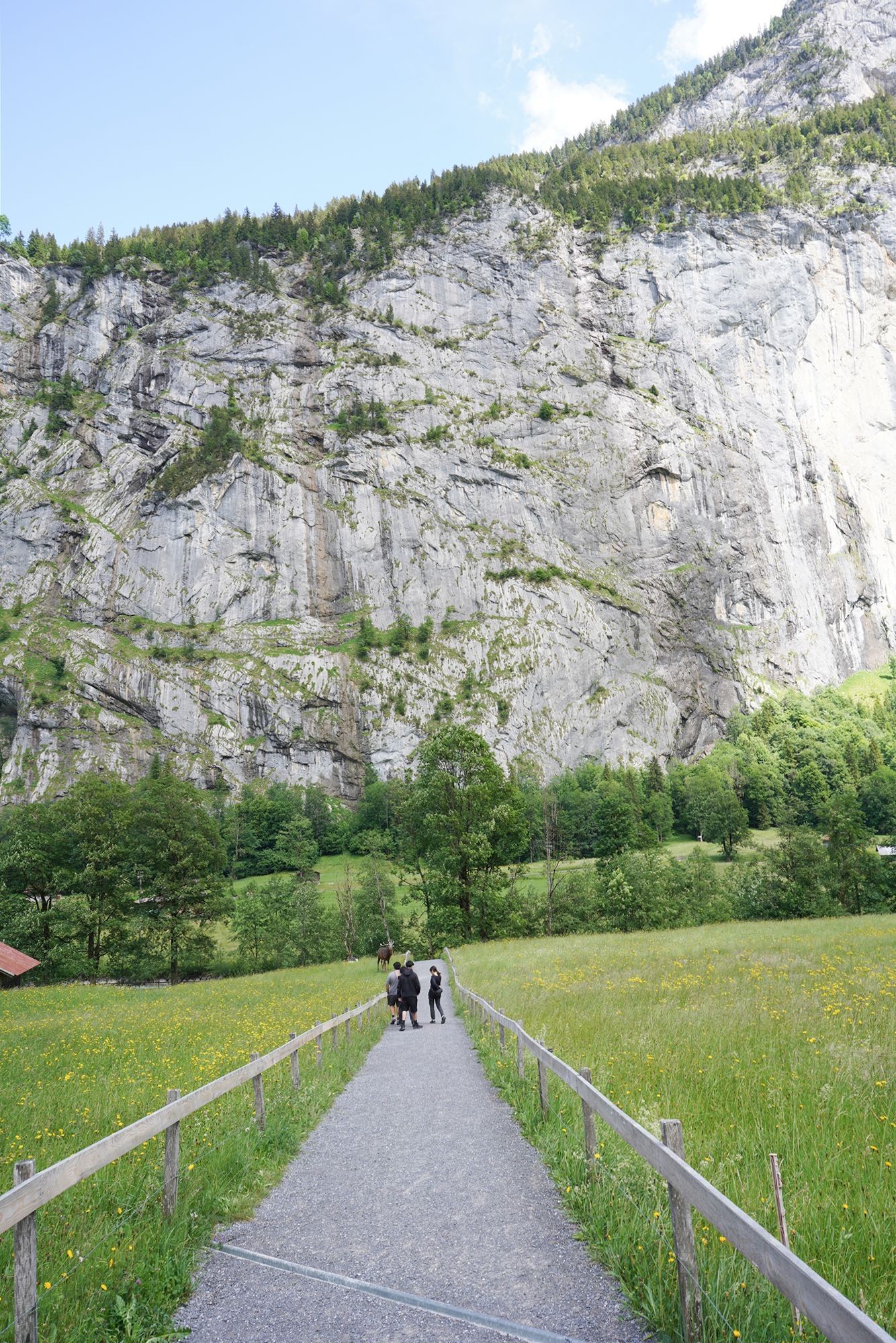
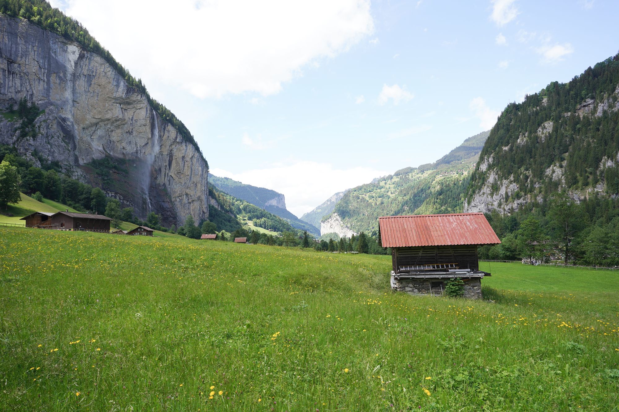
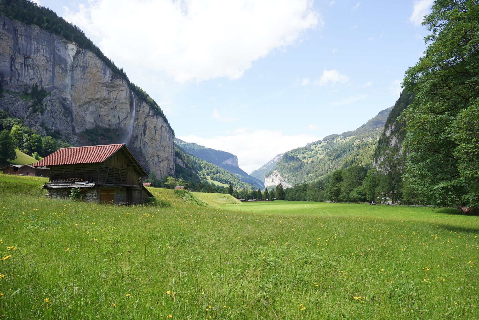
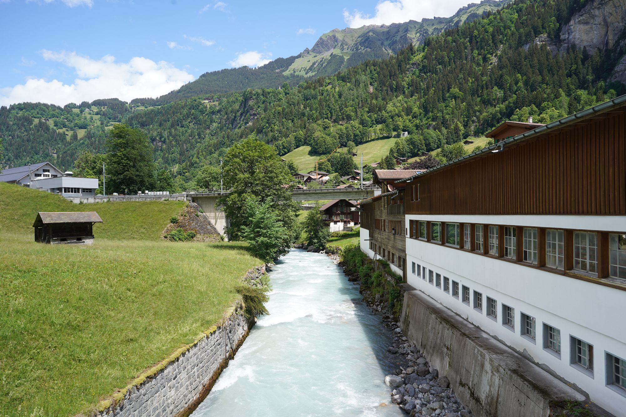
I walked across the narrow road and came to the river. The bus road was on the other side, so I needed to find a bridge to cross over and catch the bus.
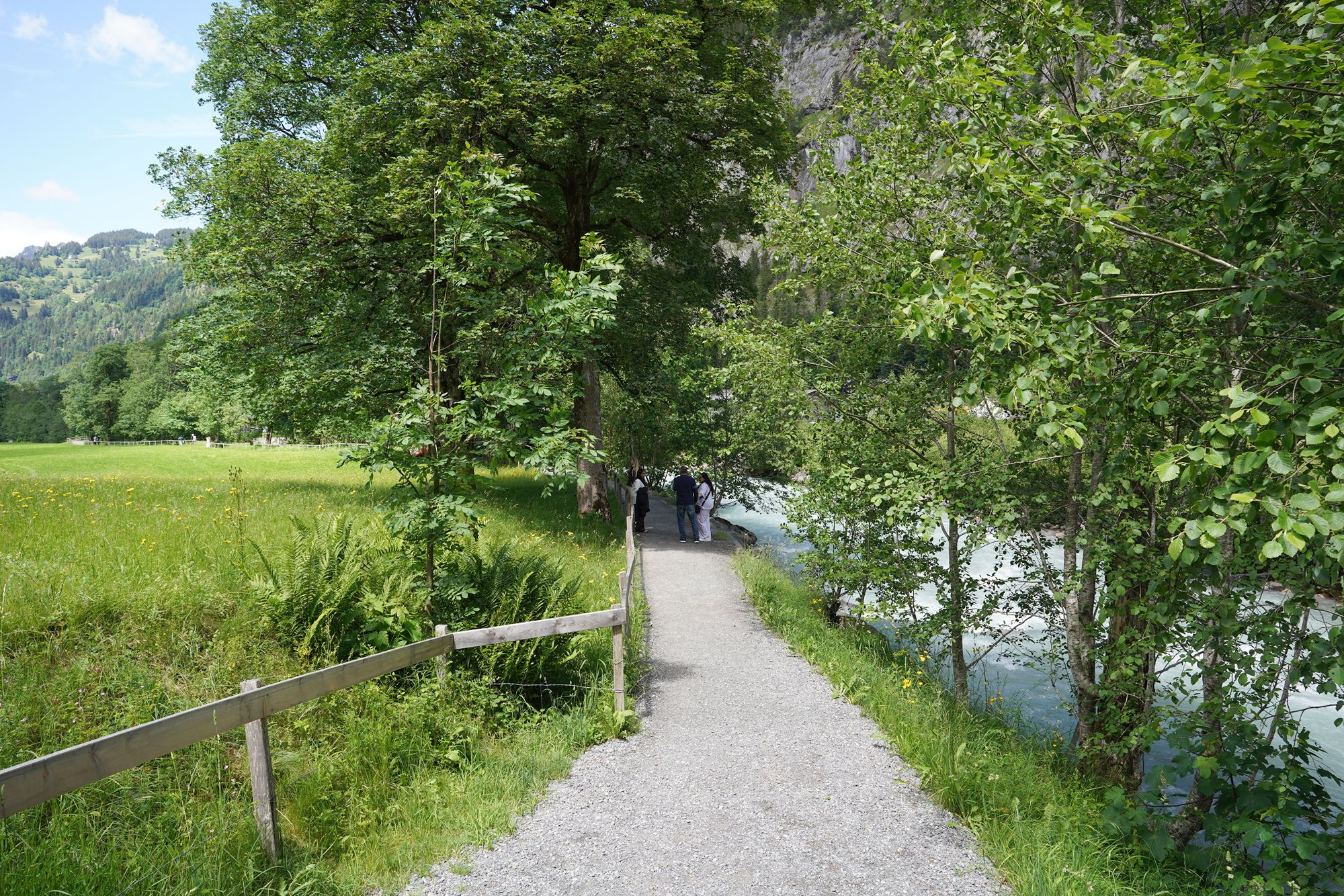
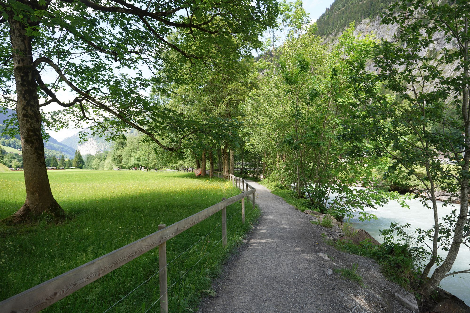
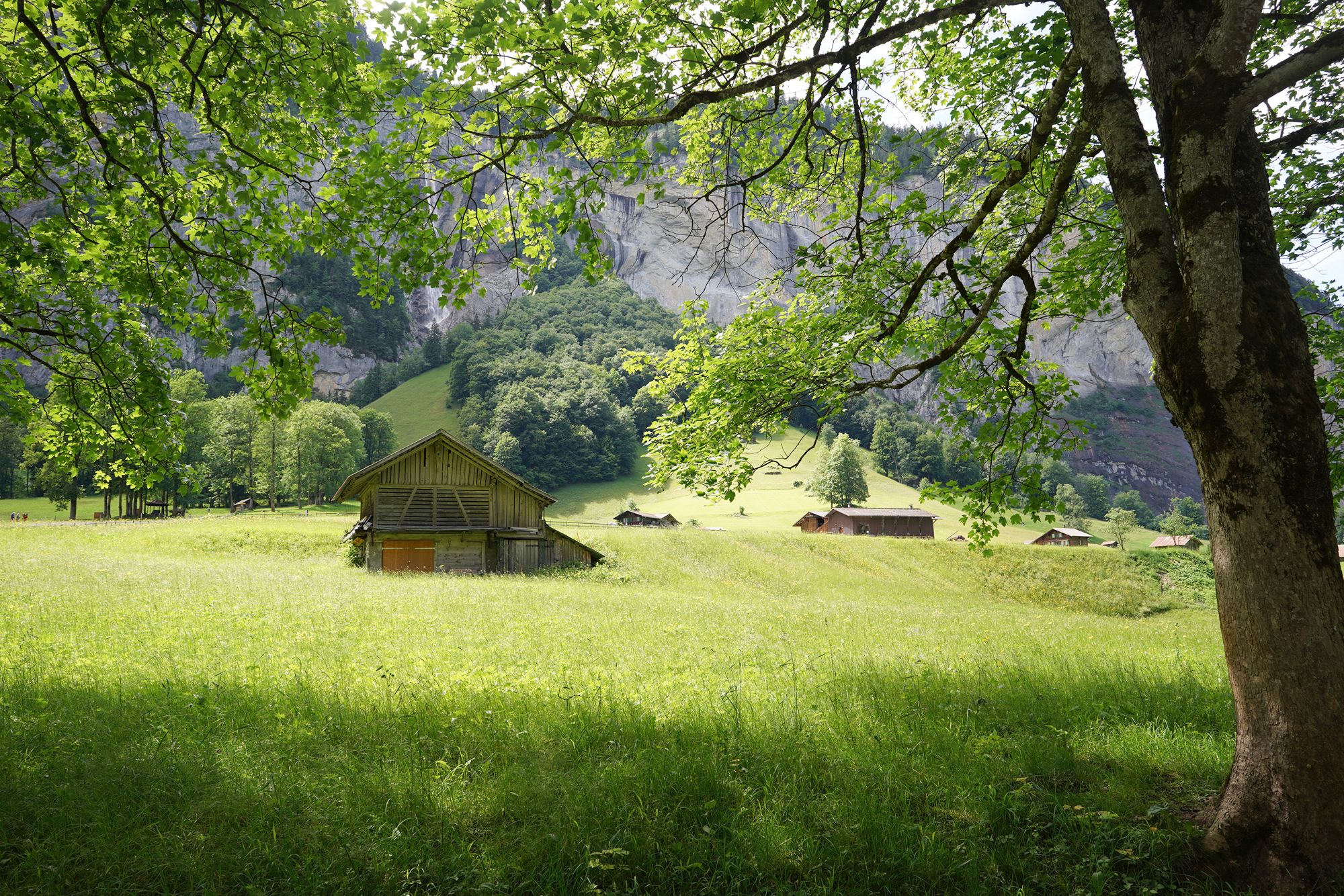
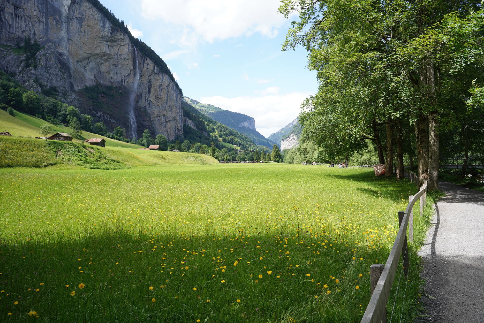
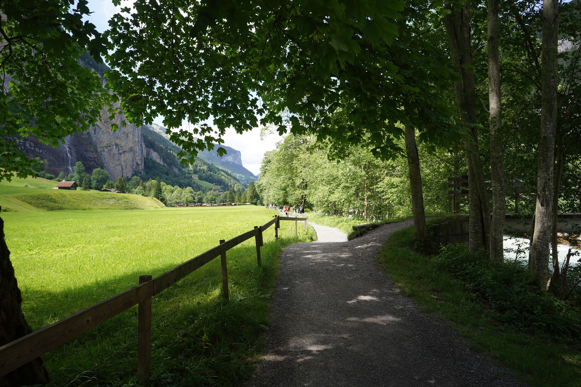
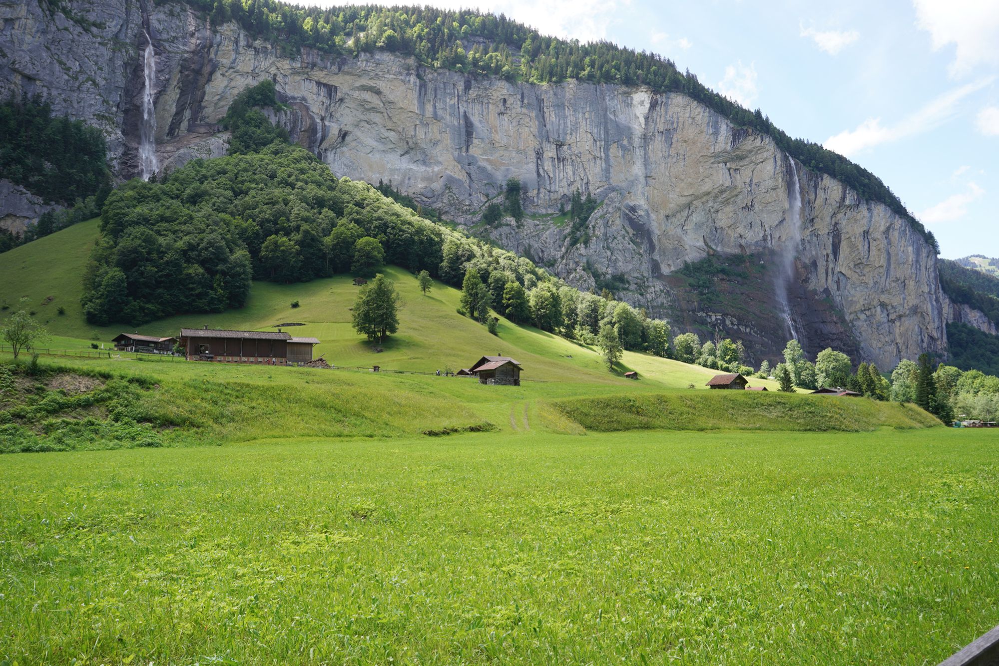
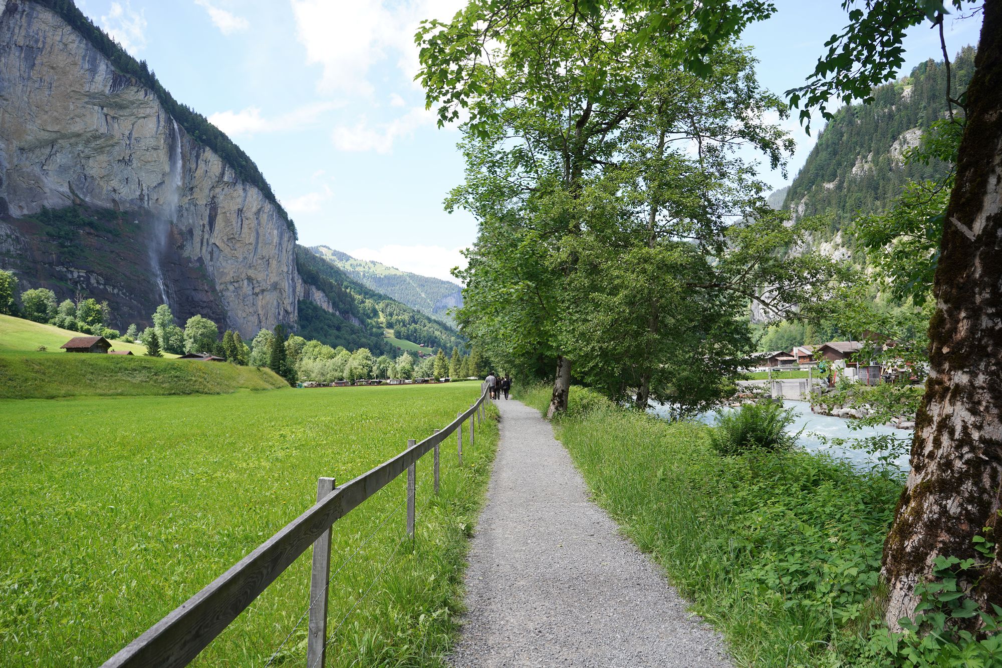
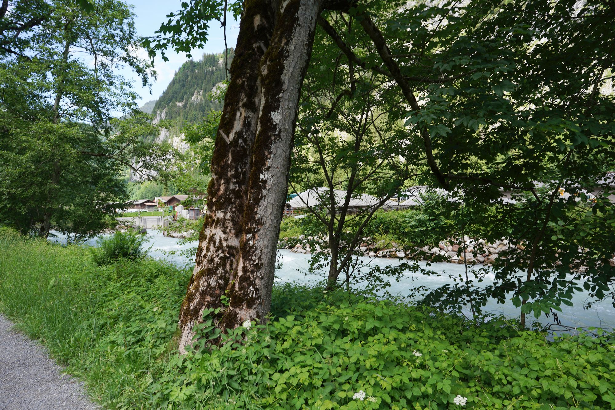
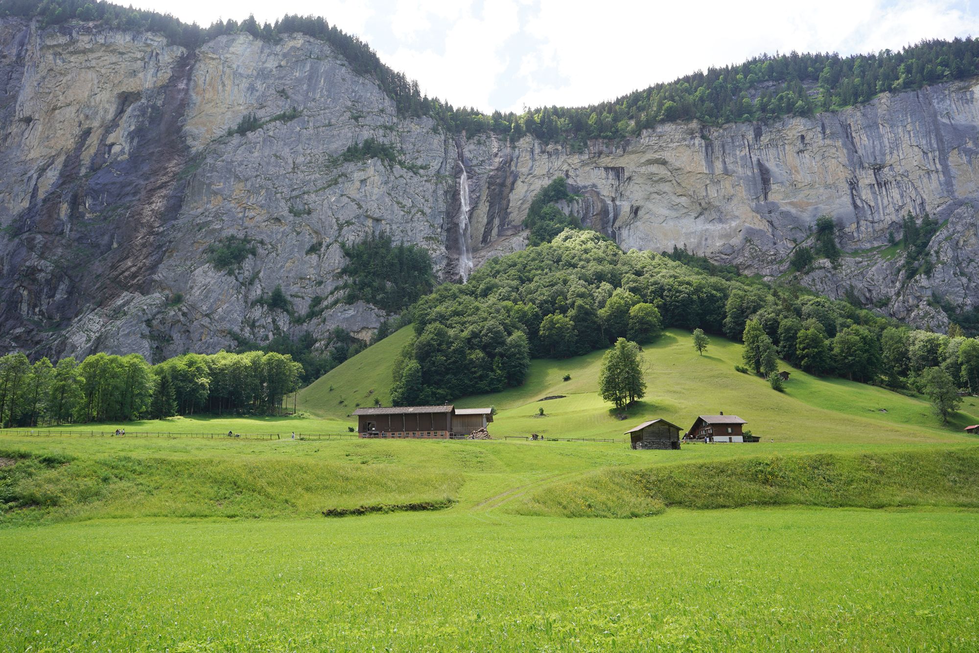
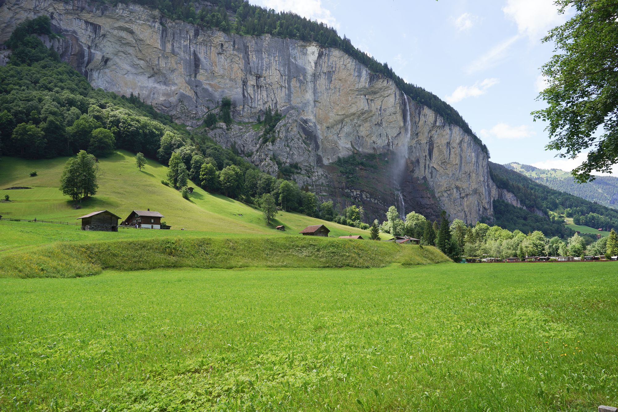
Here is the bridge I found to cross the river and reach the main road on the other side.
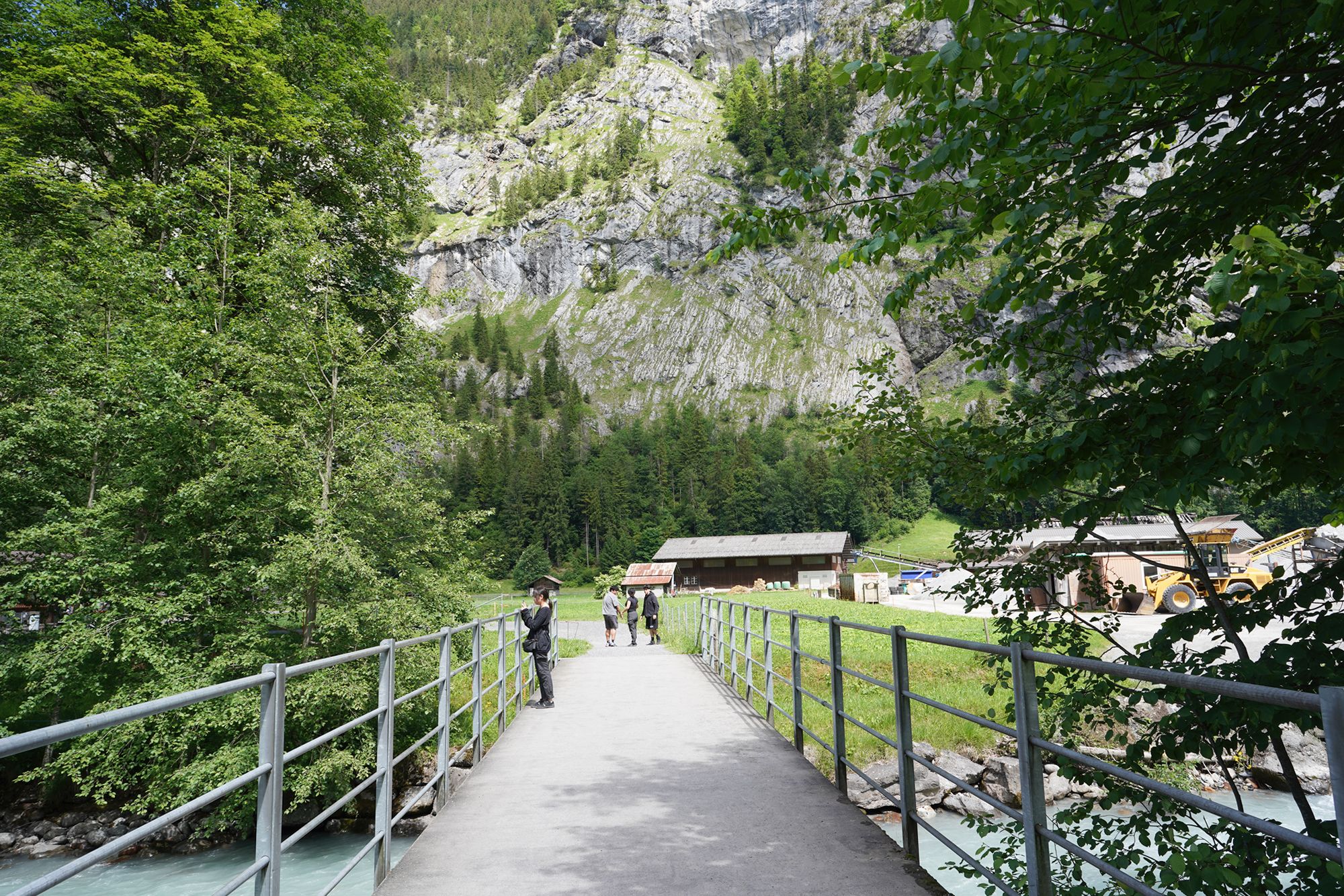
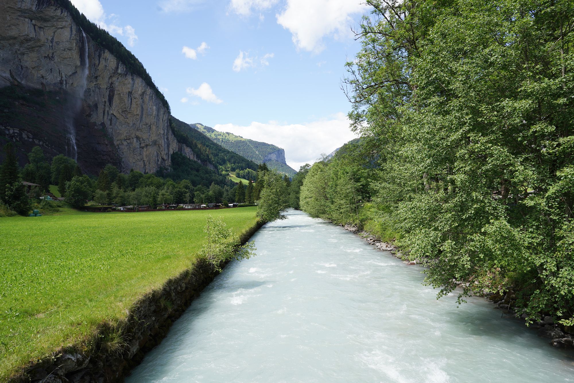
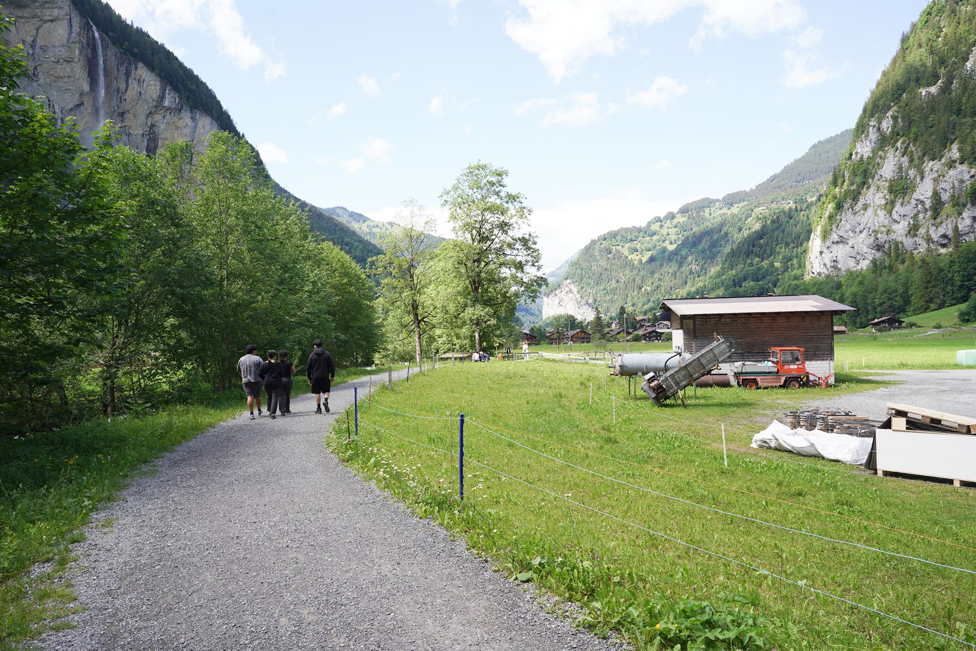
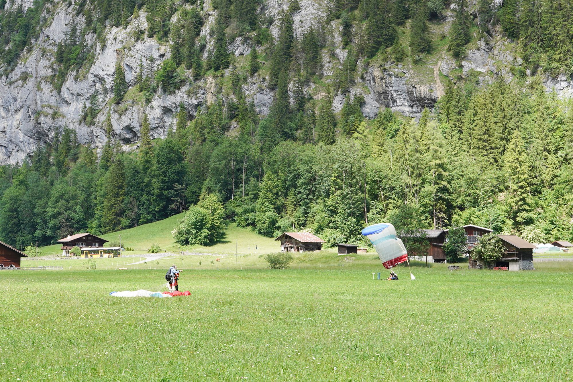
This is the landing area for hang gliders, who glide down from the surrounding mountains and land here in the Lauterbrunnen Valley.
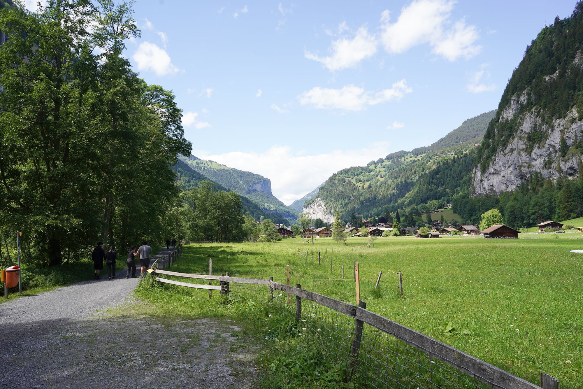
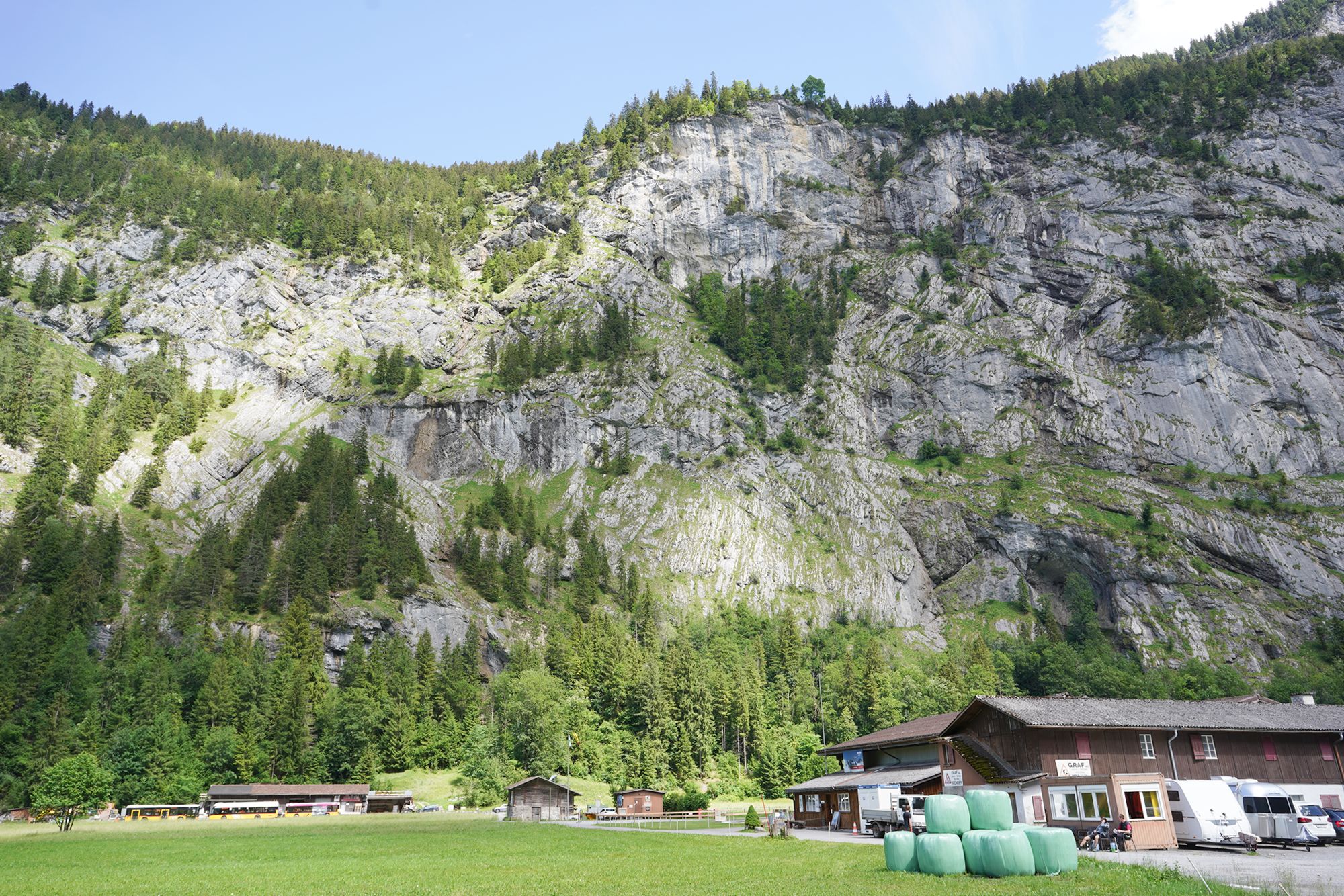
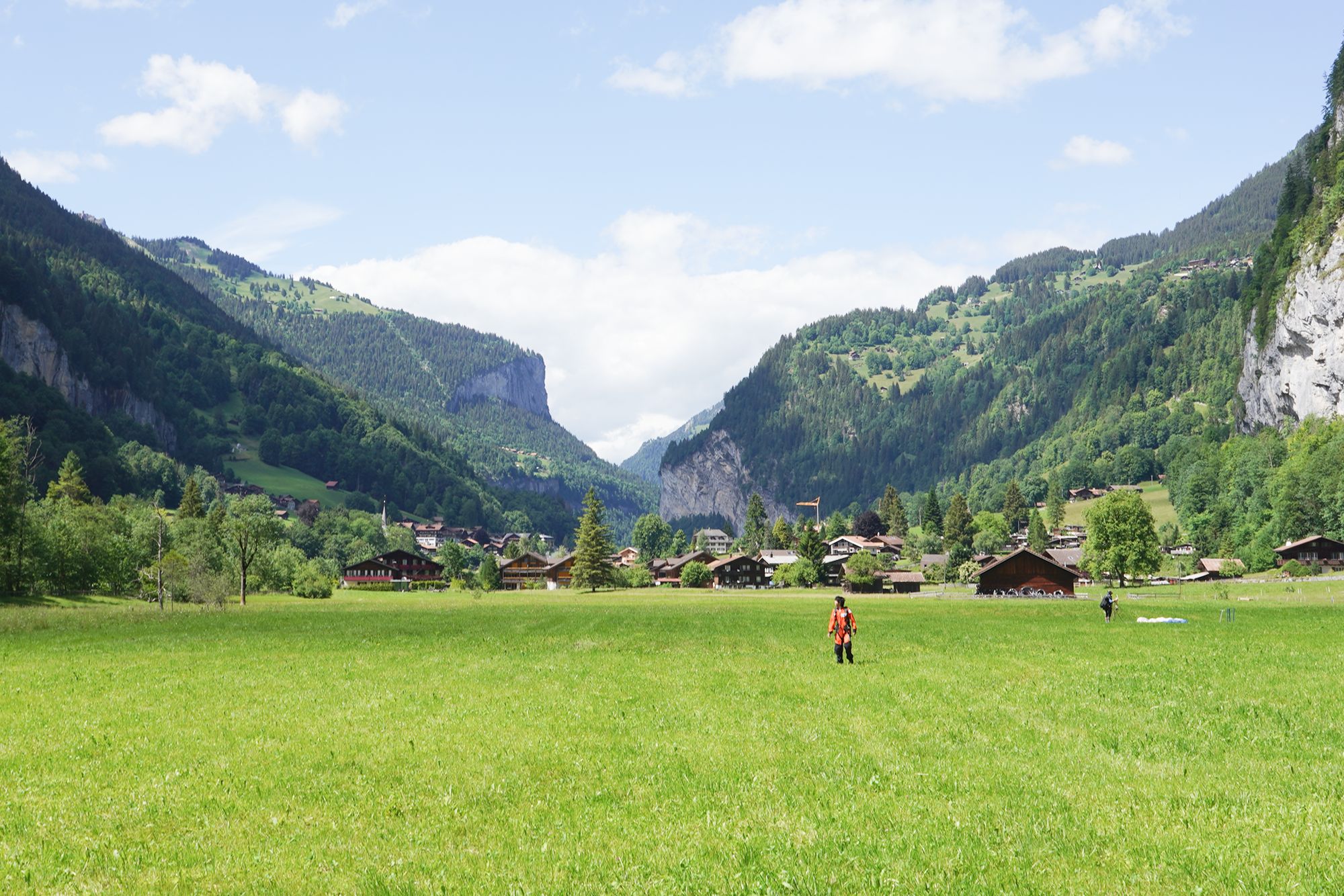
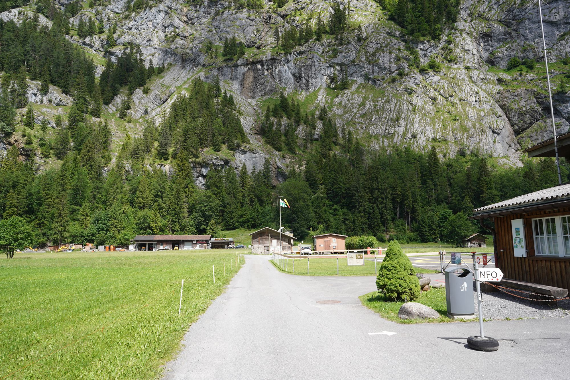
This is the Heliport Bus Stop where I ended my walk through the Lauterbrunnen Valley. From here, I took a bus to the cable car station for Mürren. In my next blog, I will continue the journey and show my visit to Mürren.