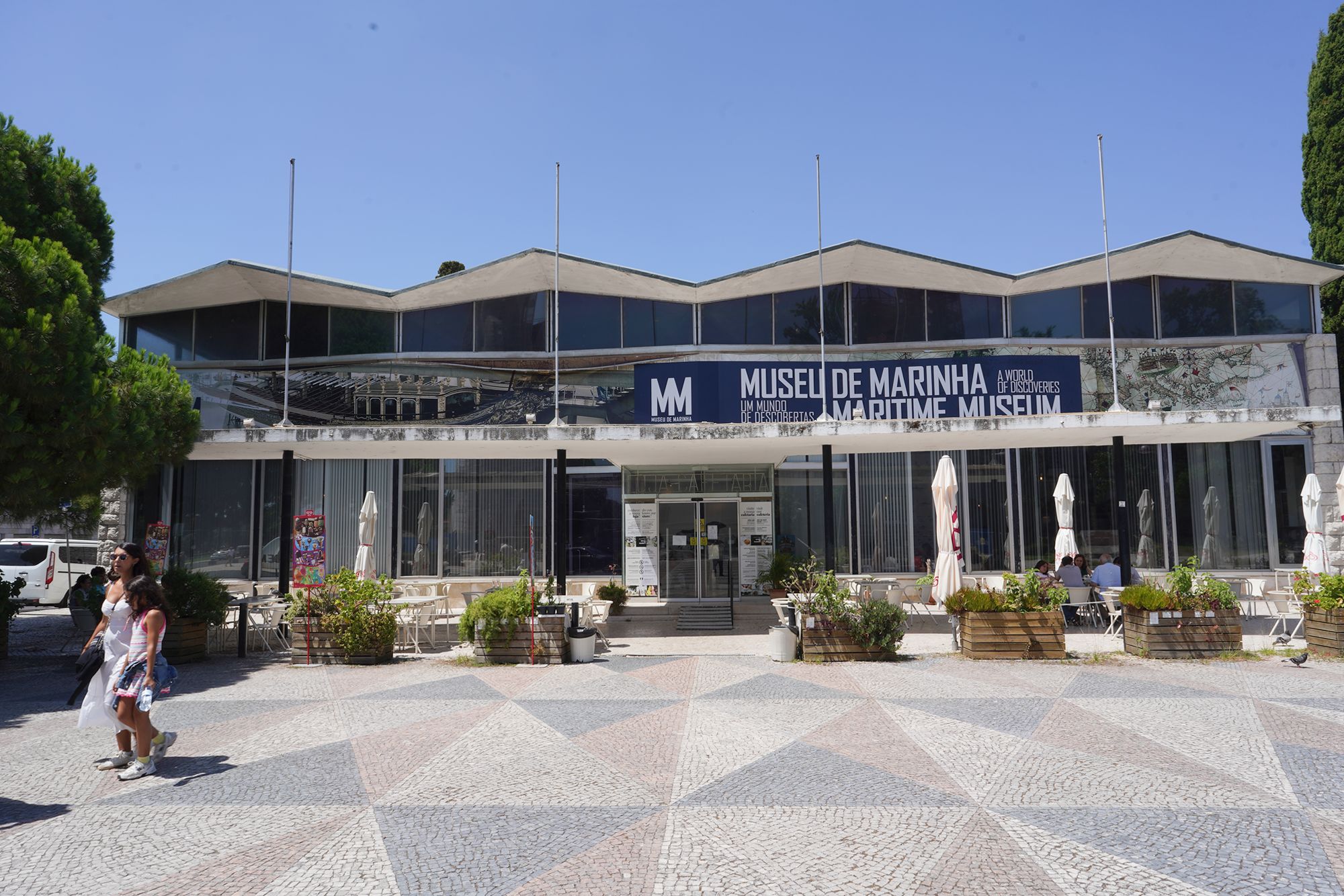
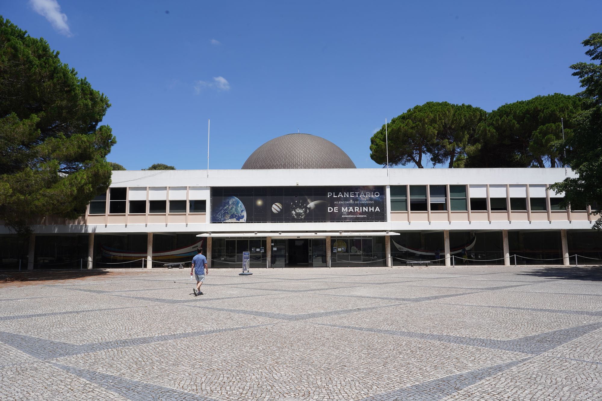
Belem Museu de Marinha, Belem, Portugal
Exploring Lisbon’s Maritime Museum through ship models, navigation, maritime trade, naval history, and Portugal’s overseas exploration voyages. 1382
Maritime Museum: Praça do Império, Santa Maria de Belém, 1400-206 Lisboa, Portugal
Date Picture Taken: Jul, 2026
Lisbon’s Maritime Museum traces Portugal’s long relationship with the sea. Displays explore early voyages, overseas trade, navigation, shipbuilding, and naval warfare. From caravels and royal fleets to steamships and submarines, the exhibits show how maritime technology evolved and how exploration, commerce, and conflict shaped Portugal’s connections with the wider world.
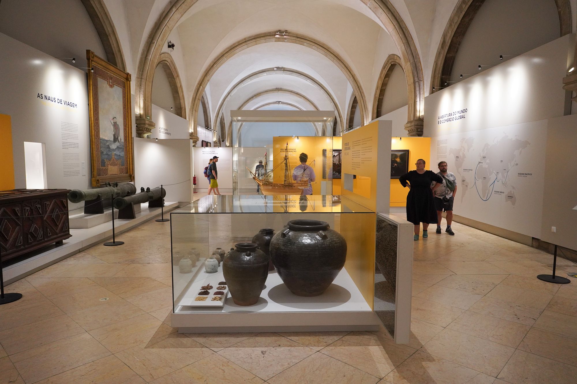
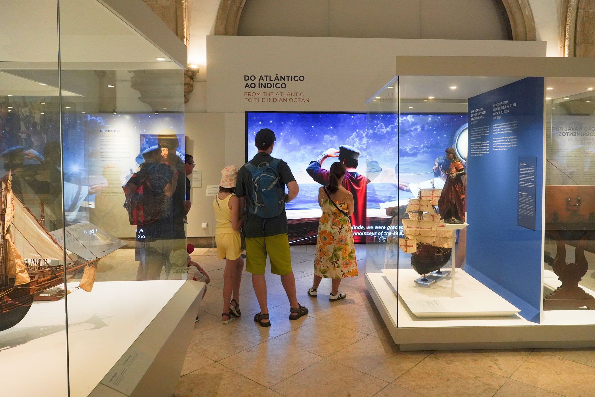
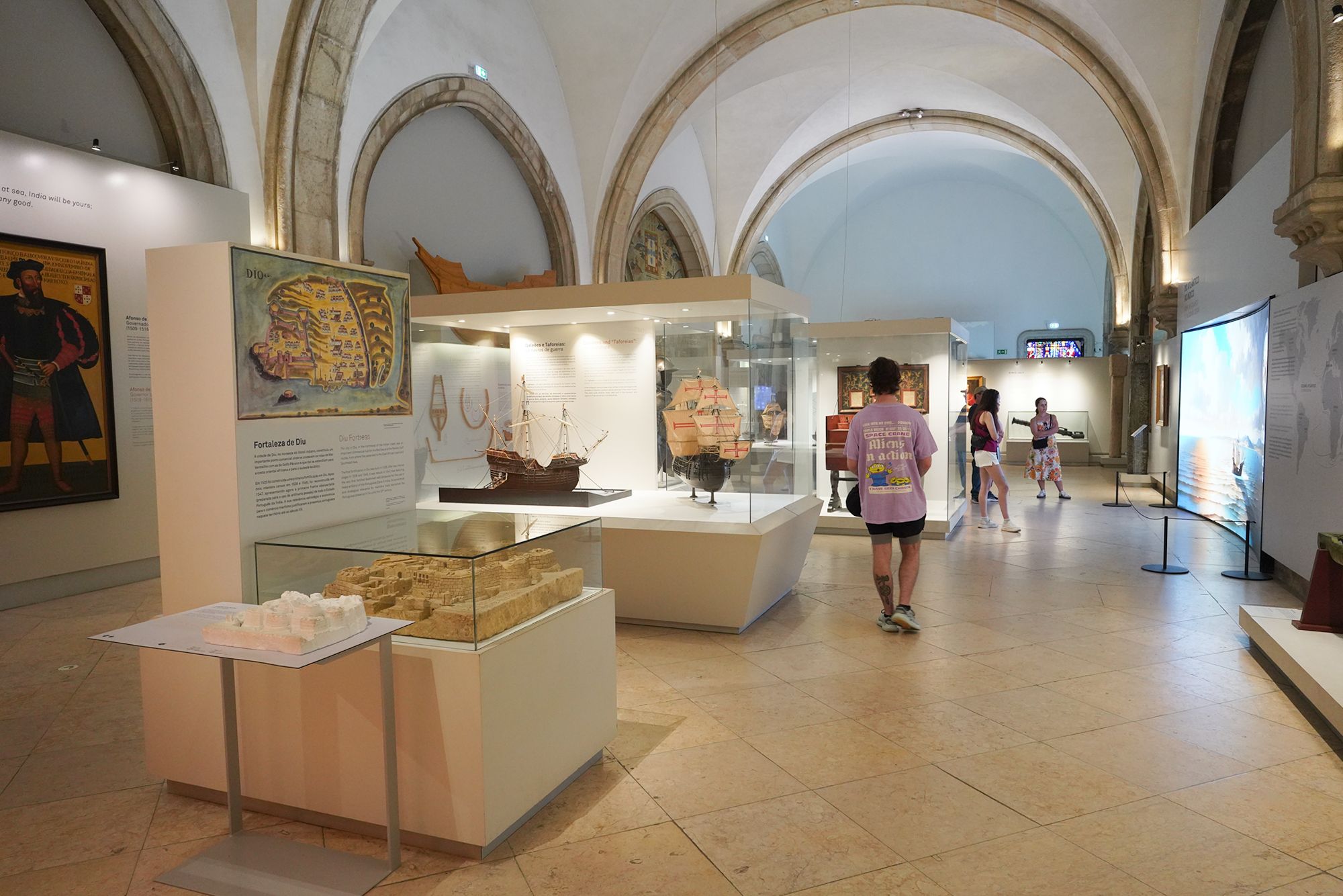
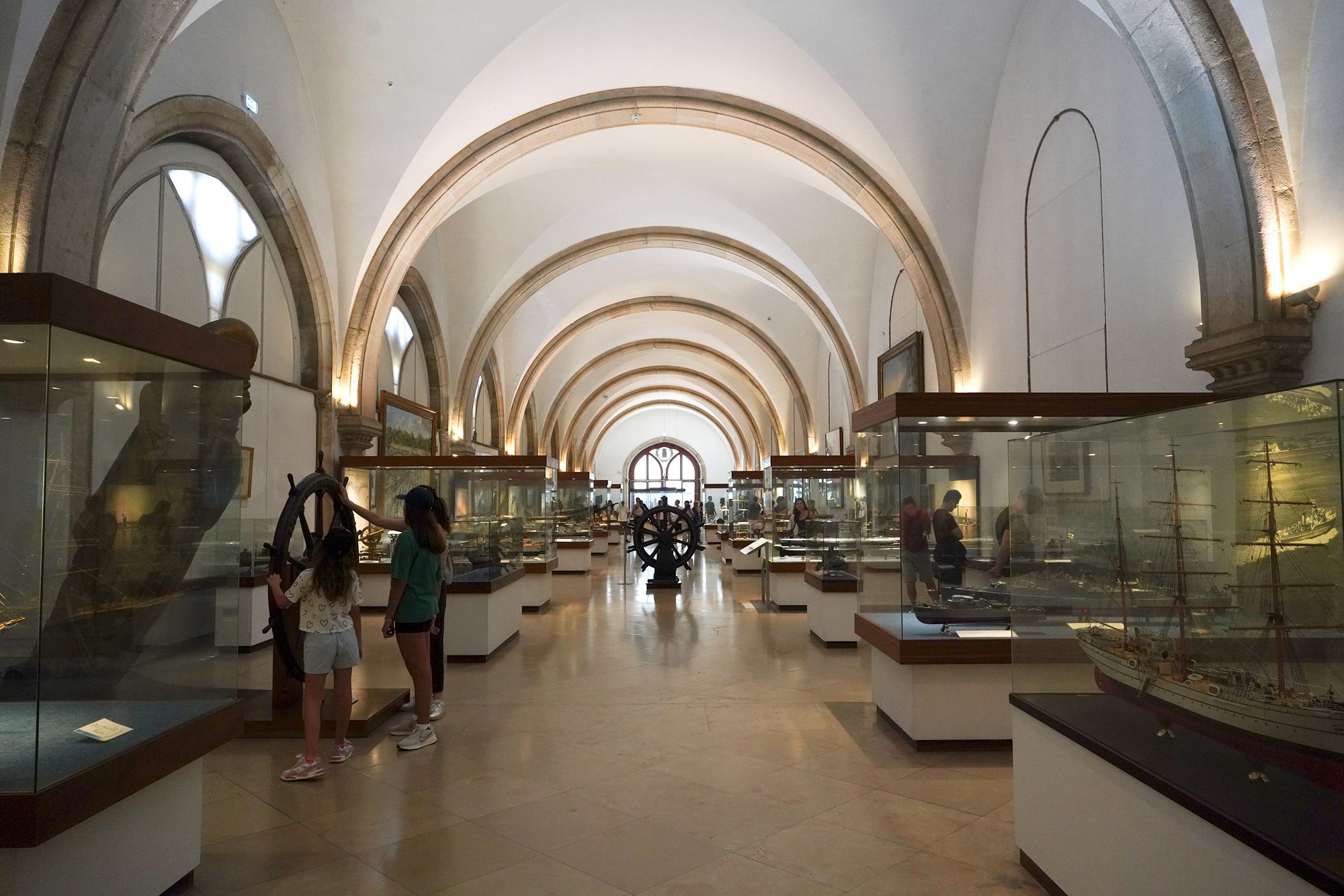
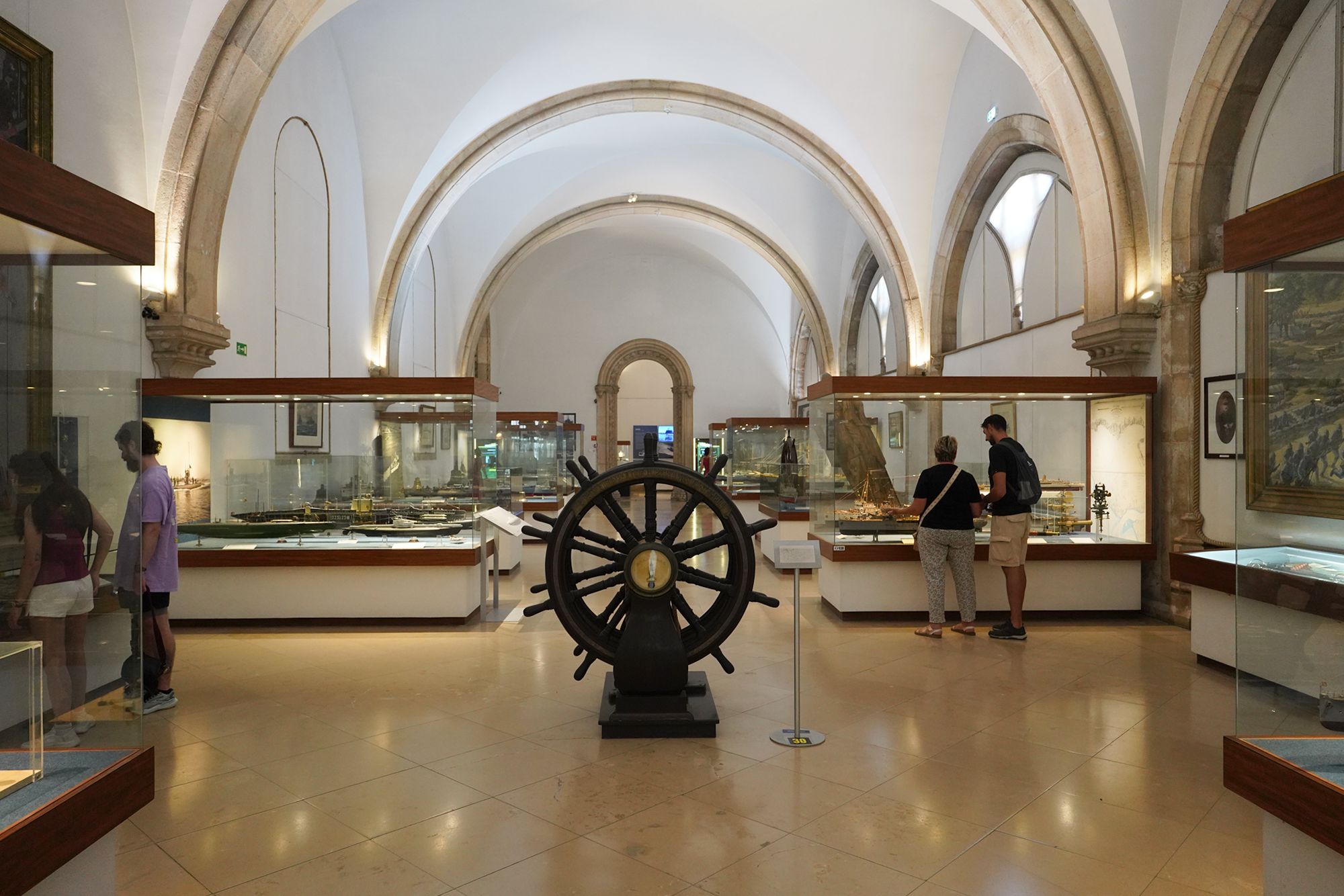
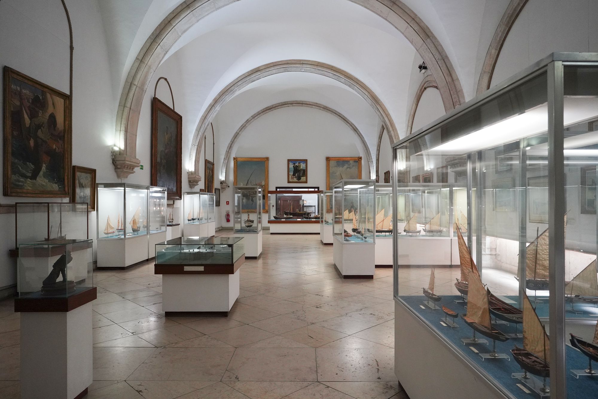
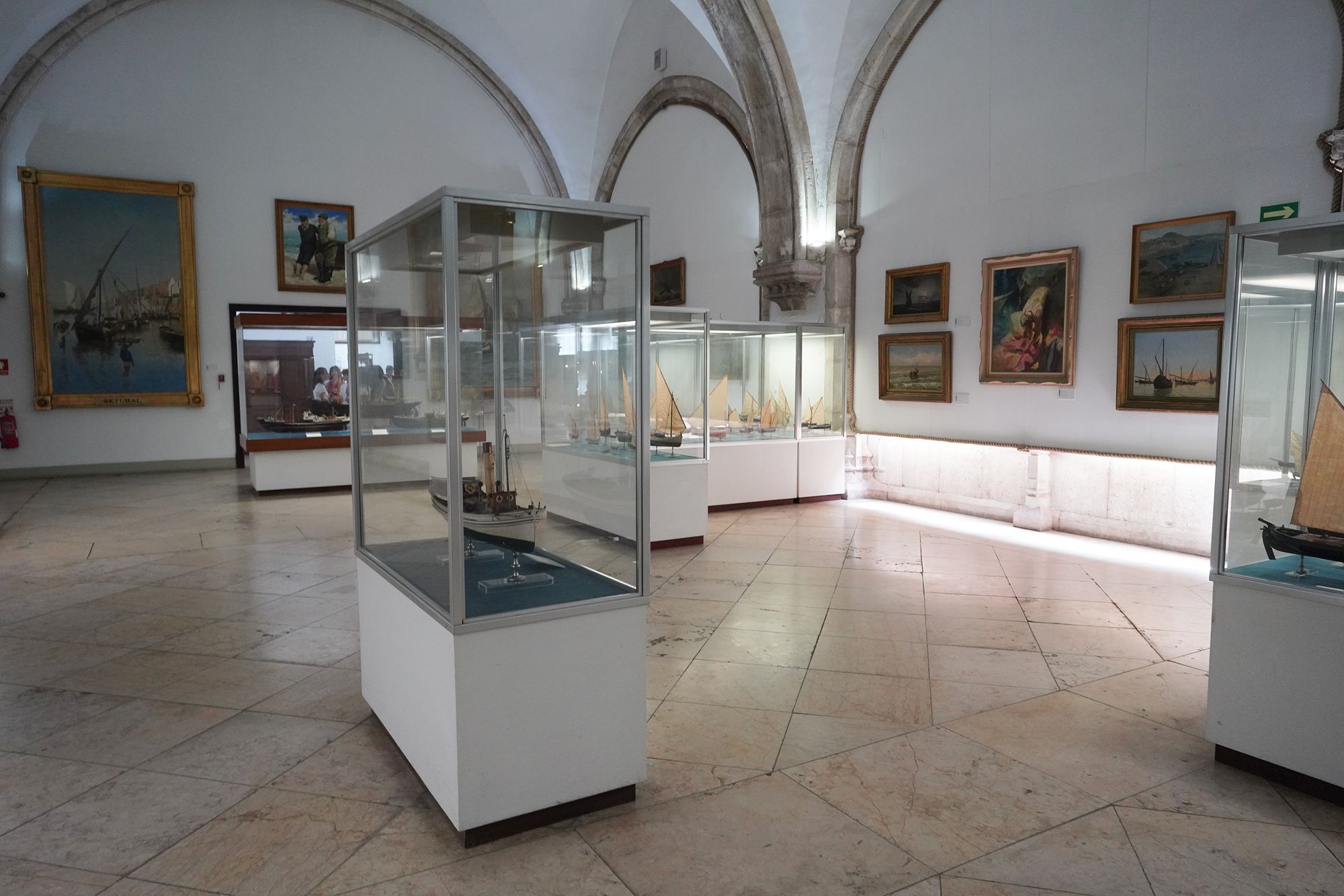
A view of the museum inside
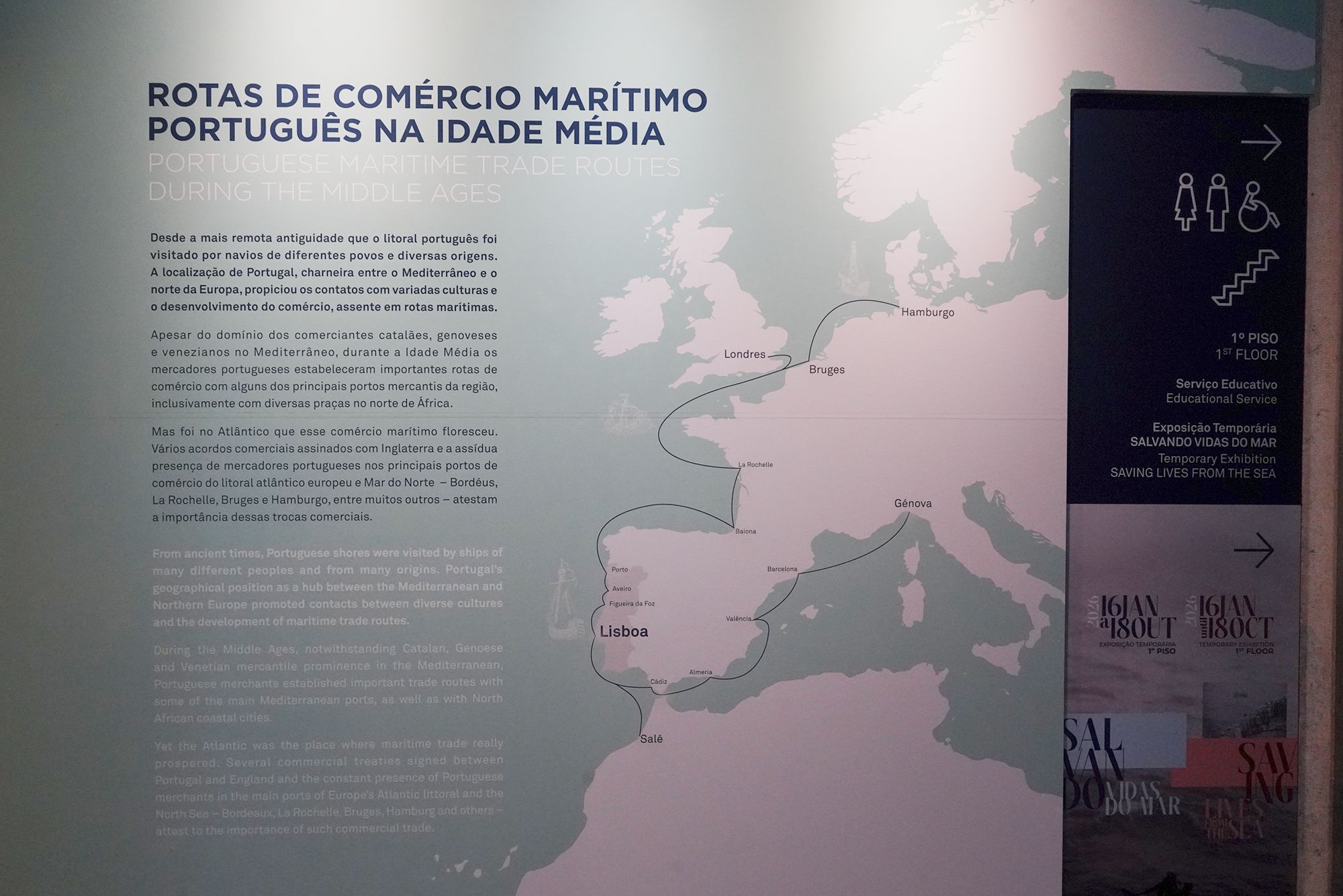
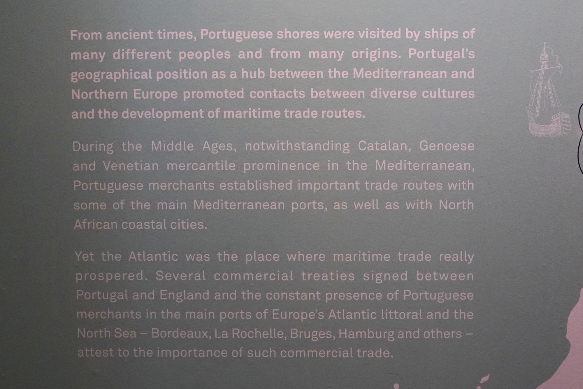
This panel explains Portuguese maritime trade routes during the Middle Ages, before the better-known voyages of exploration.
Portugal’s position between the Mediterranean and northern Europe helped its merchants establish trading connections in both regions, including North Africa. Trade flourished especially along the Atlantic, linking Portuguese ports with Bordeaux, La Rochelle, Bruges, and Hamburg. Commercial agreements with England also strengthened these connections. The map shows how Portugal was already part of a wide maritime trading network before the Age of Exploration.
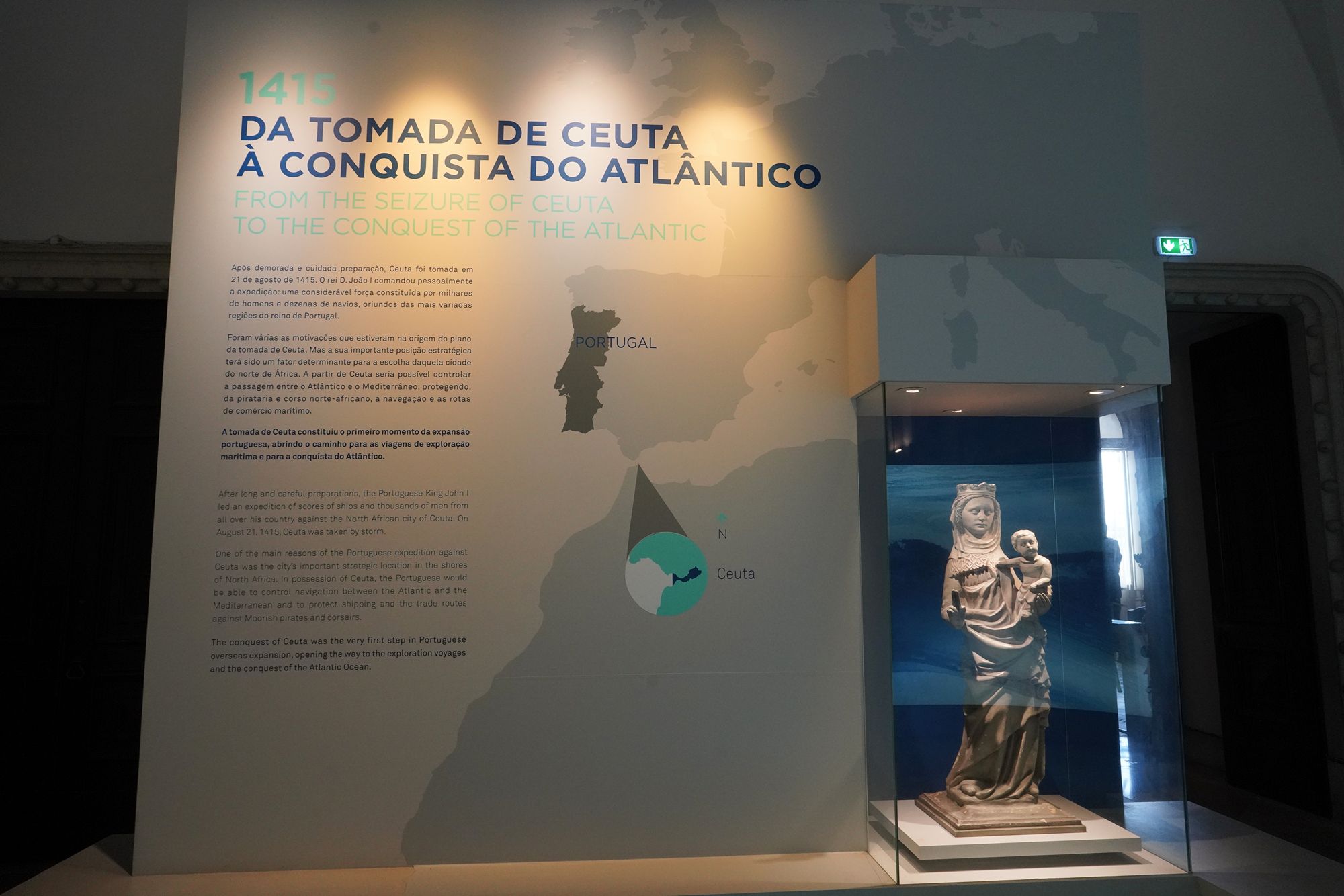
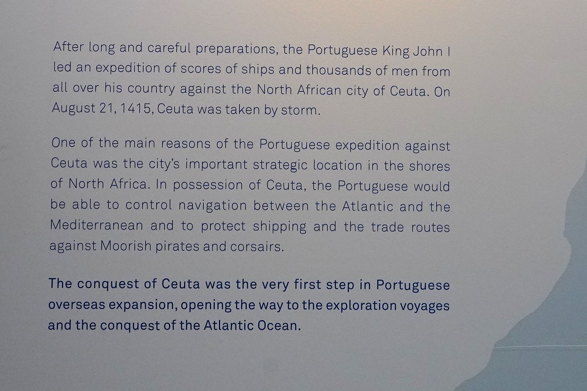
This panel describes Portugal’s conquest of Ceuta in 1415, presented as the beginning of Portuguese overseas expansion. King João I led a large fleet and thousands of men to capture the North African port on August 21.
Ceuta’s strategic position near the entrance to the Mediterranean made it valuable for controlling shipping and protecting trade routes. Its conquest marked a turning point in the museum’s story, moving from medieval maritime commerce toward overseas conquest and the voyages of exploration.
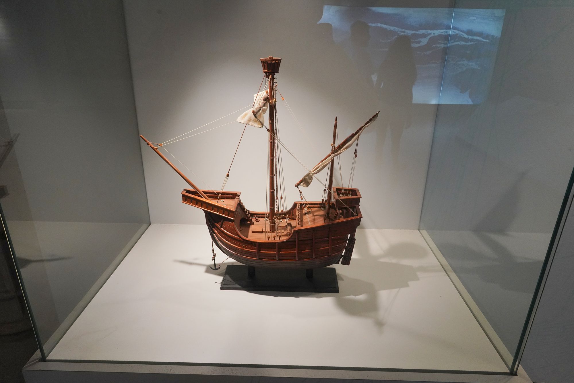
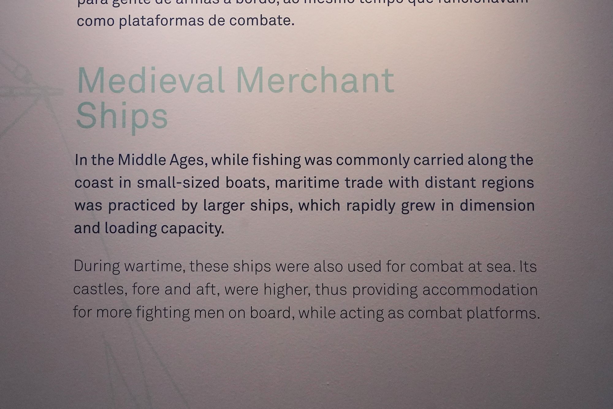
This display explains how medieval merchant ships served both trade and warfare. Small boats were used for coastal fishing, while larger vessels carried goods to distant regions. As maritime trade grew, these ships increased in size and cargo capacity.
During wartime, merchant ships also carried fighting men. The raised structures at the front and rear—called “castles”—provided space for soldiers and elevated platforms from which they could fight.
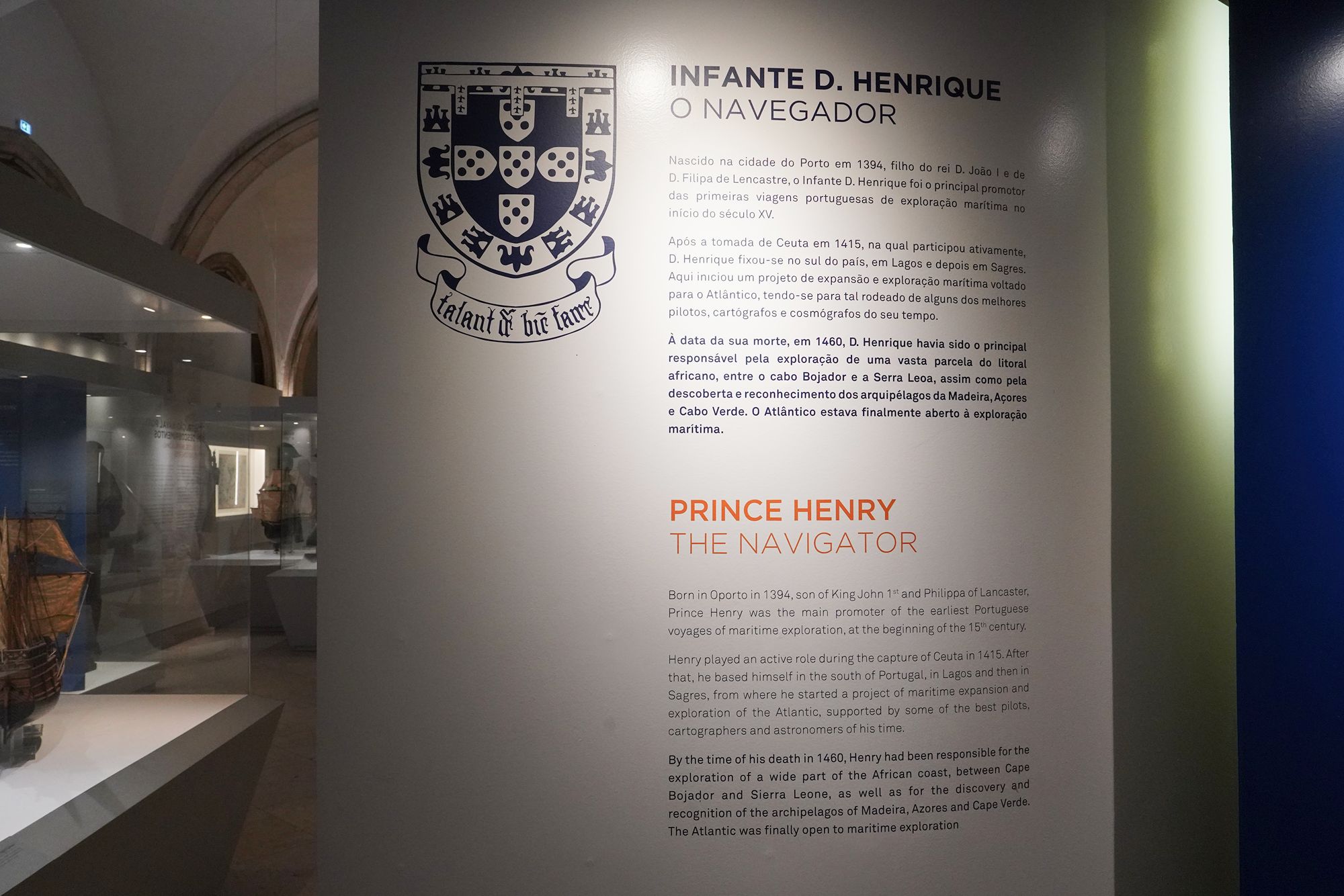
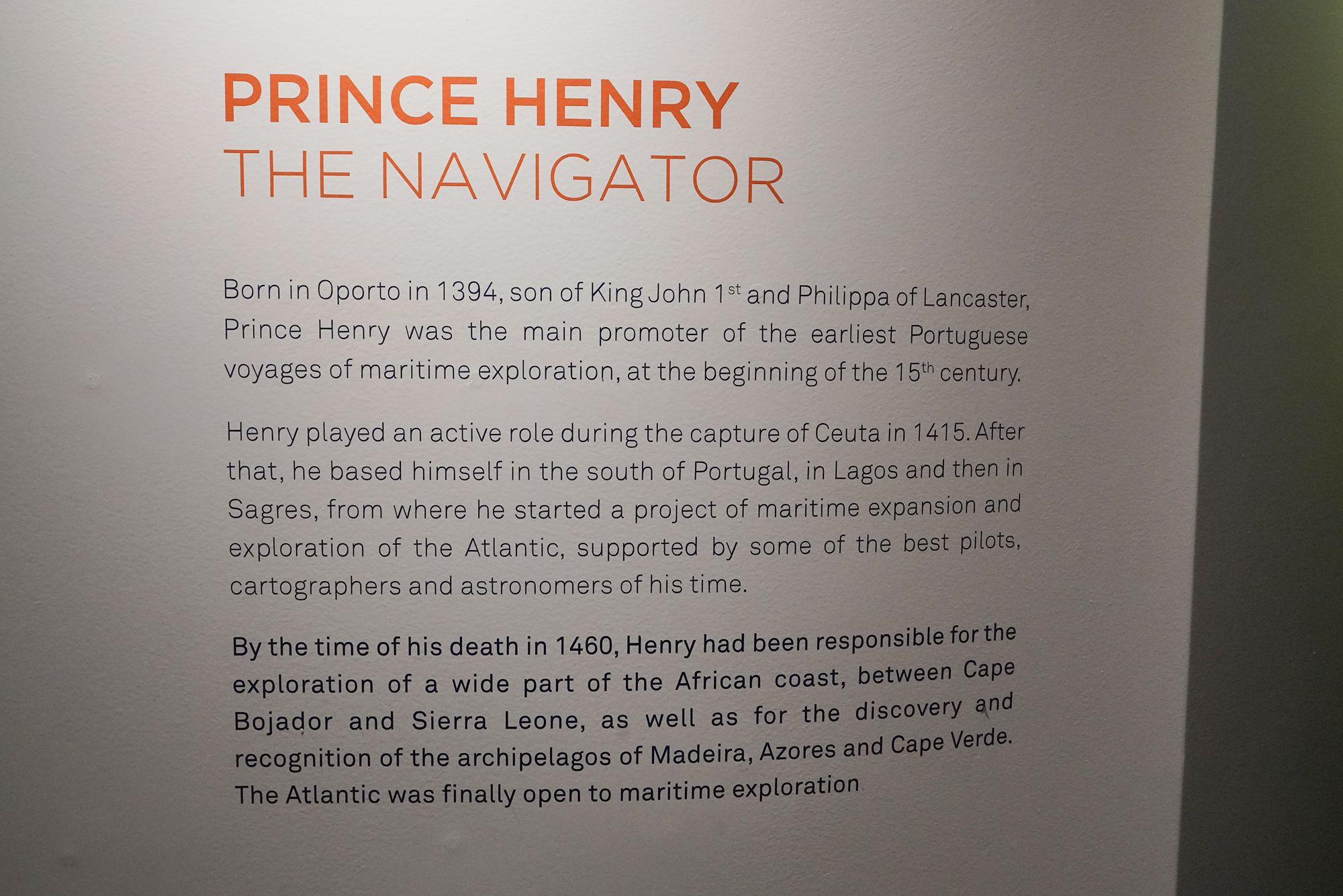
This panel introduces Prince Henry the Navigator (1394–1460), a son of King João I and a major supporter of Portugal’s early maritime exploration.
After taking part in the conquest of Ceuta in 1415, Henry organized exploration from southern Portugal, drawing on the knowledge of pilots, mapmakers, and astronomers. The panel credits his efforts with advancing exploration along Africa’s western coast and of the Atlantic islands of Madeira, the Azores, and Cape Verde.
His role here was primarily as an organizer and sponsor of voyages—the person helping make exploration possible.
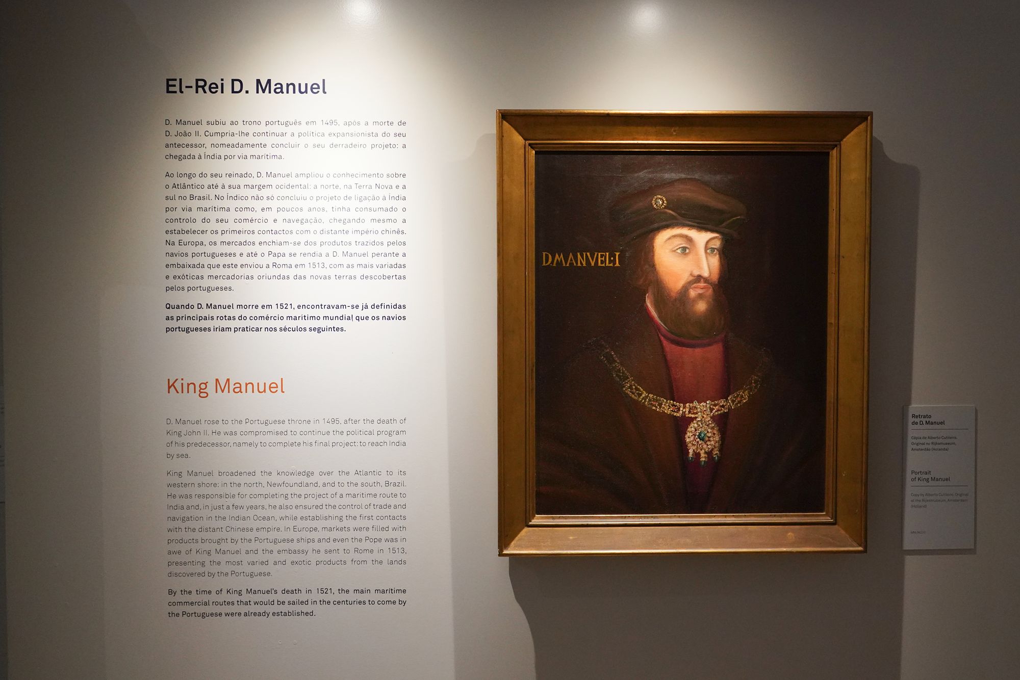
This panel describes King Manuel I’s reign (1495–1521), when Portugal’s maritime expansion developed into an extensive overseas trading network.
Manuel continued his predecessor’s ambition to reach India by sea. During his reign, Portuguese voyages also reached Brazil and Newfoundland, expanded trade in the Indian Ocean, and established early contacts with China. Goods brought back by Portuguese ships entered European markets, demonstrating the growing reach of these voyages.
The panel emphasizes that by Manuel’s death in 1521, Portugal’s principal maritime trade routes were already established.
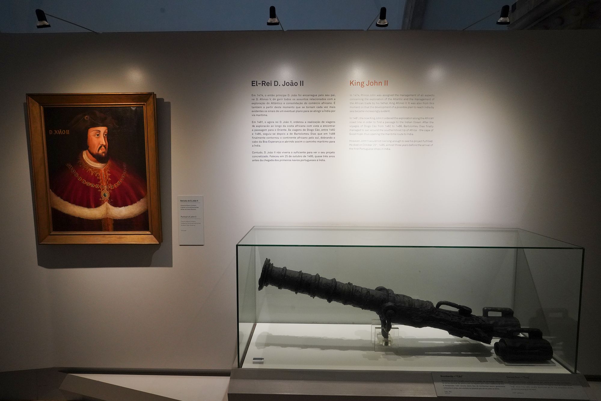
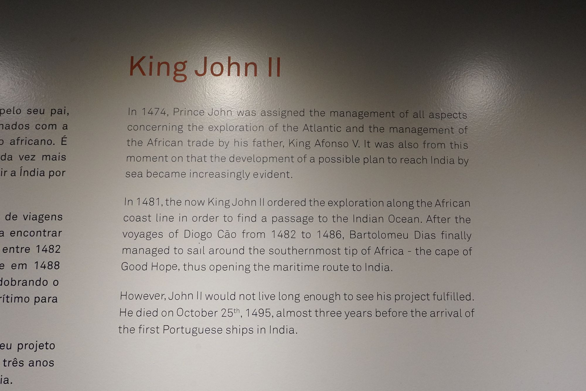
This panel introduces King João II, Manuel I’s predecessor, who helped lay the groundwork for Portugal’s sea route to India.
In 1474, while still a prince, he took responsibility for Atlantic exploration and African trade. After becoming king in 1481, he supported voyages farther along Africa’s coast to find a passage into the Indian Ocean. Diogo Cão’s expeditions were followed by Bartolomeu Dias’s successful voyage around the Cape of Good Hope.
João II died in 1495, almost three years before the first Portuguese ships reached India. The ambition developed under his leadership was fulfilled during Manuel I’s reign.
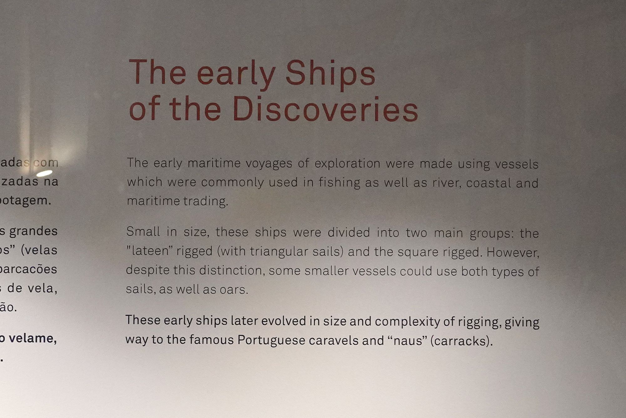
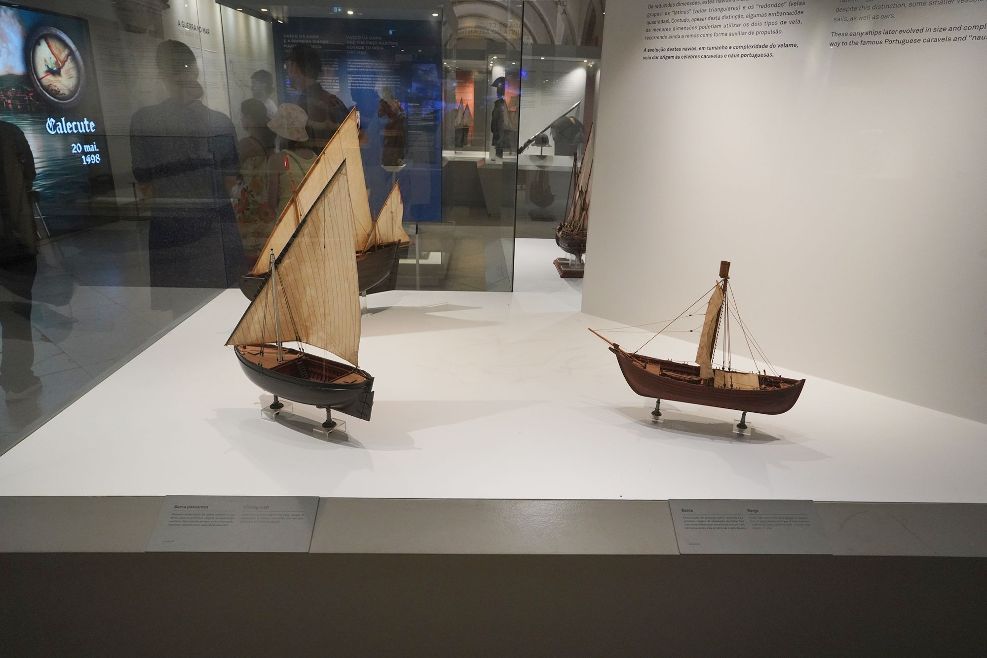
This panel explains that Portugal’s earliest exploration voyages used small vessels already employed for fishing and trade along rivers and coasts.
These ships used either triangular sails, known as lateen sails, or square sails. Some smaller vessels could use both types, together with oars. Over time, the ships grew larger and their sail arrangements became more complex, developing into the Portuguese caravels and naus, or carracks, associated with the Age of Exploration.
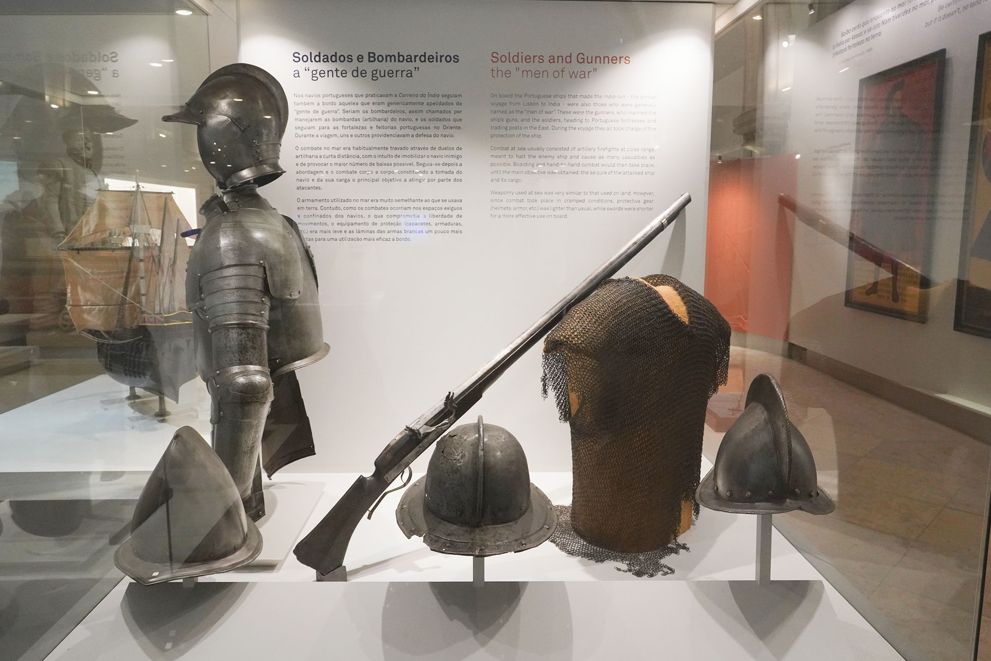
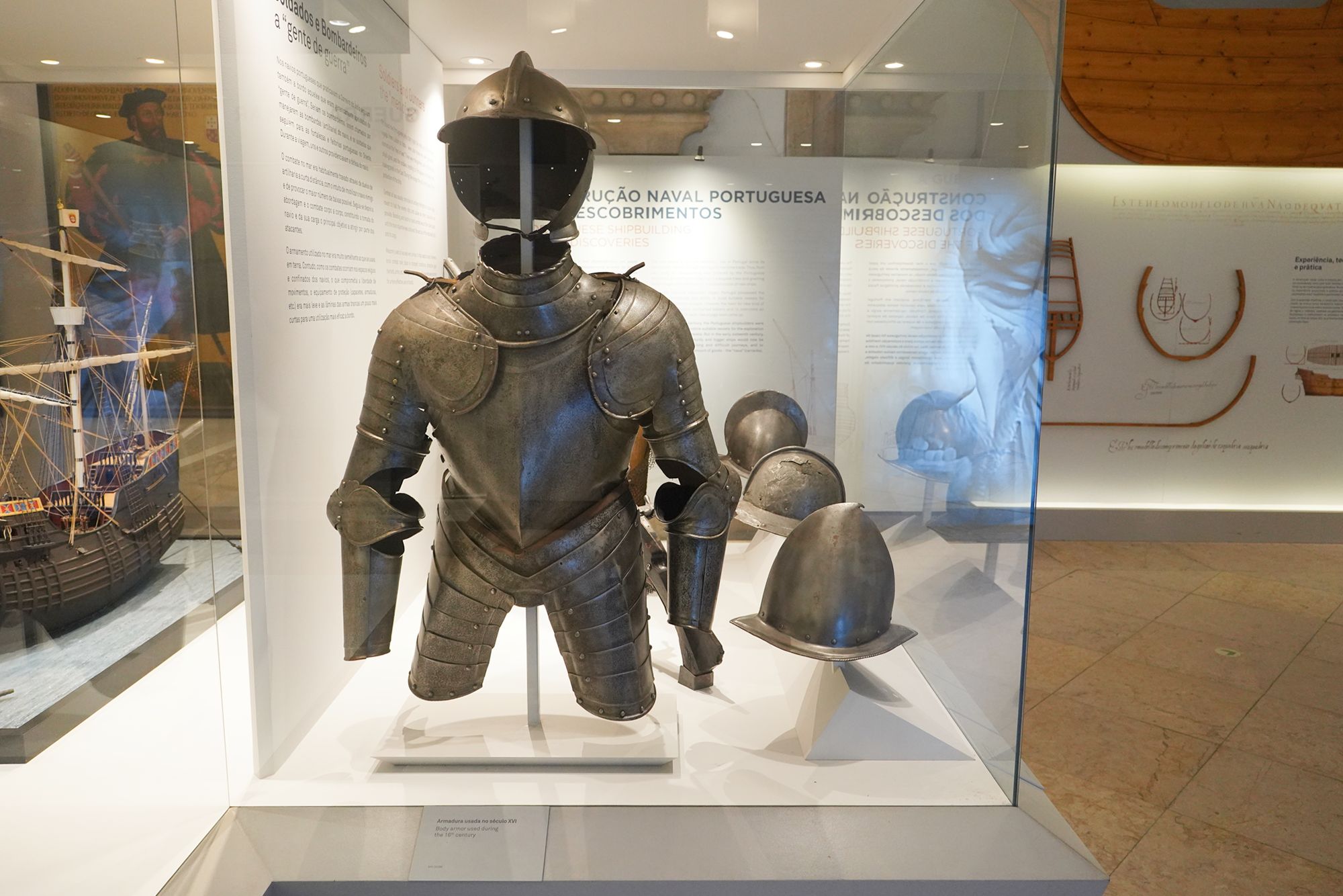
This panel explains the role of soldiers and gunners aboard Portuguese ships sailing between Lisbon and India. Gunners operated the ship’s artillery, while soldiers traveled to Portuguese fortresses and trading posts in the East. Both helped defend the ship during the voyage.
Naval fighting often began with cannon fire at close range, followed by boarding and hand-to-hand combat to capture the opposing ship and its cargo. Because space aboard was cramped, soldiers used shorter swords and lighter armor than they typically would on land.
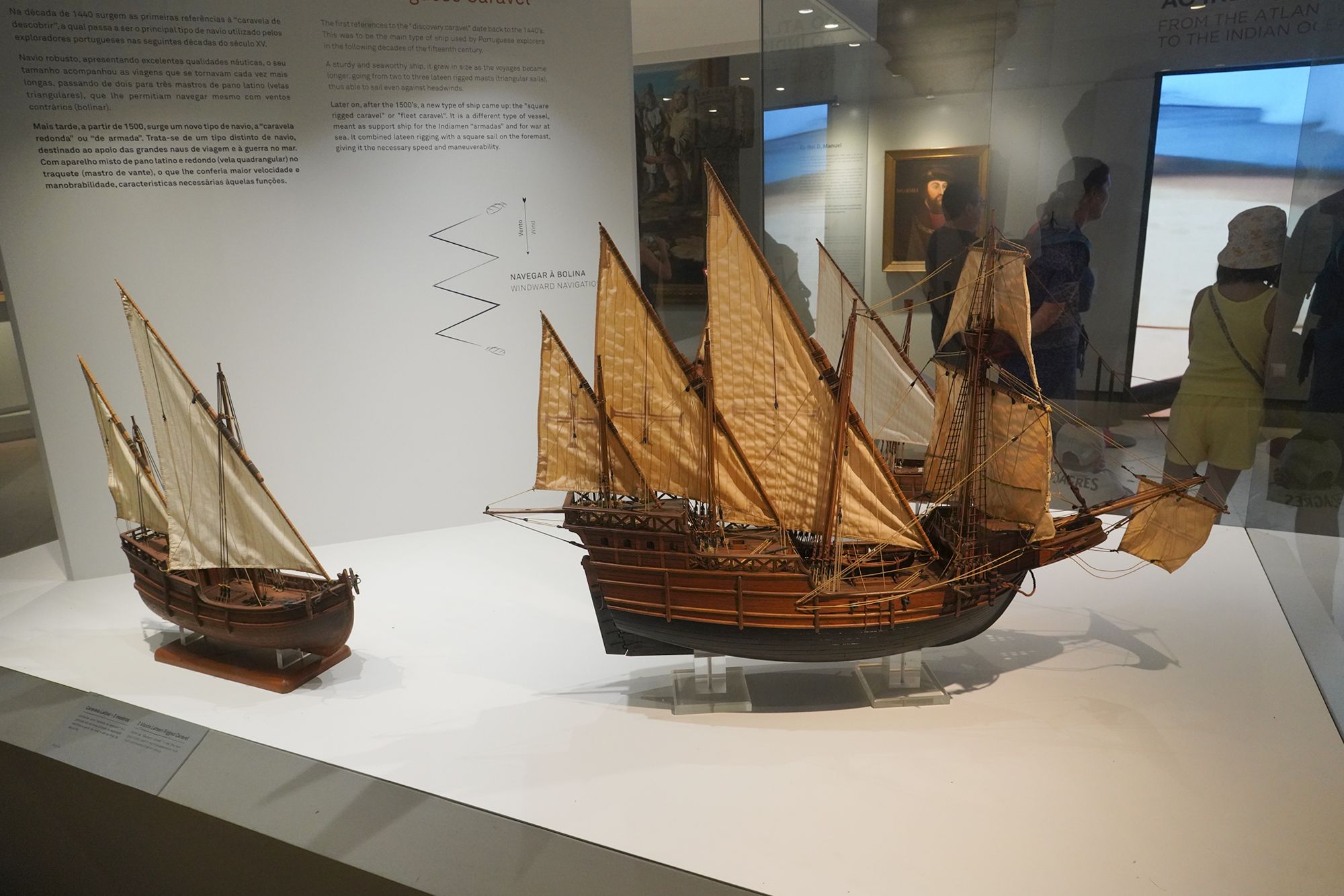
This panel describes the Portuguese caravel, a principal ship used by Portuguese explorers during the 15th century. Sturdy and seaworthy, it grew larger as voyages became longer, carrying two or three masts with triangular lateen sails.
The diagram shows how a caravel could make progress against the wind by sailing in a zigzag pattern, called tacking.
After 1500, another type—the square-rigged or “fleet caravel”—combined triangular sails with a square sail on its forward mast. These vessels supported fleets sailing to India and served in naval warfare, combining speed with maneuverability.
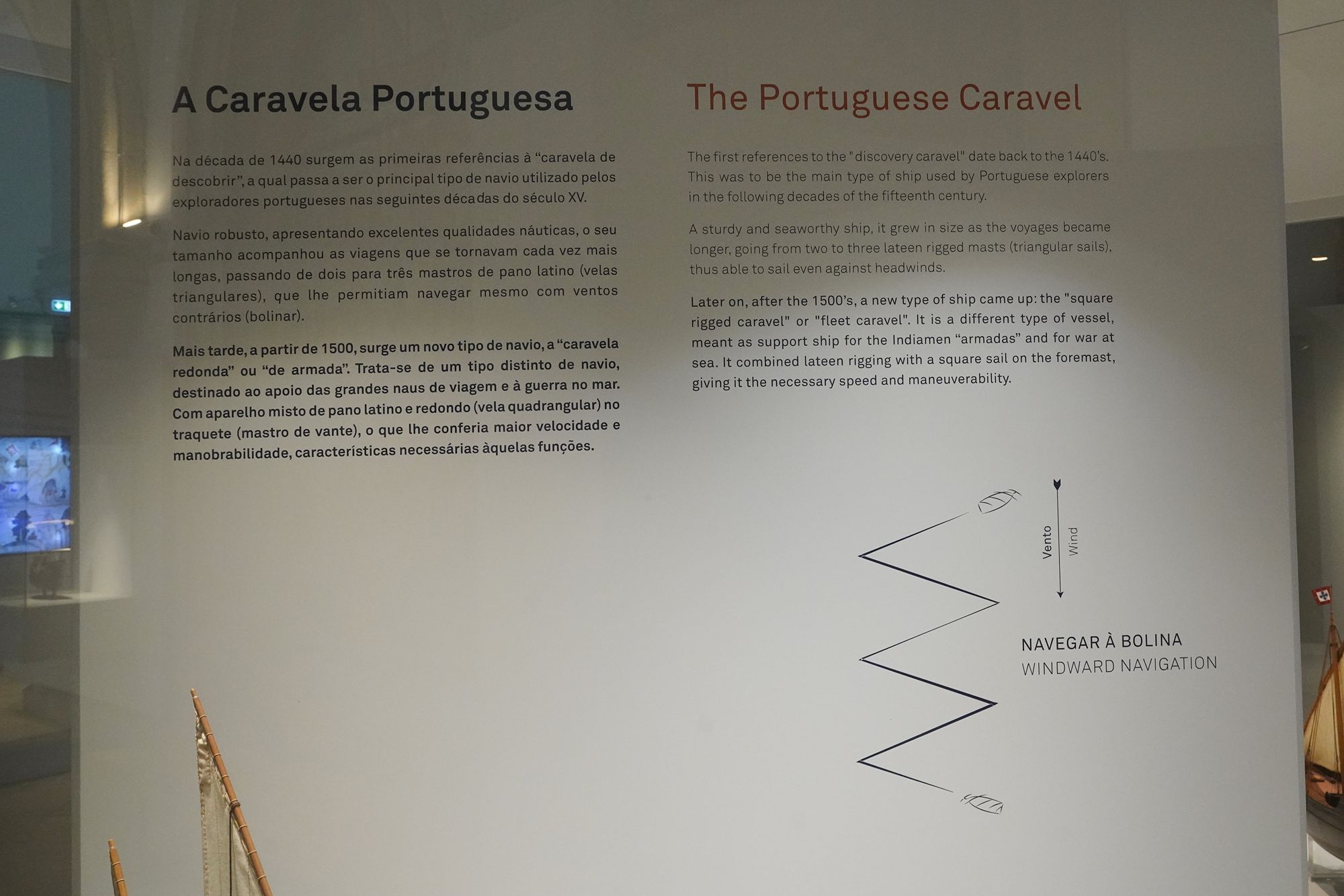
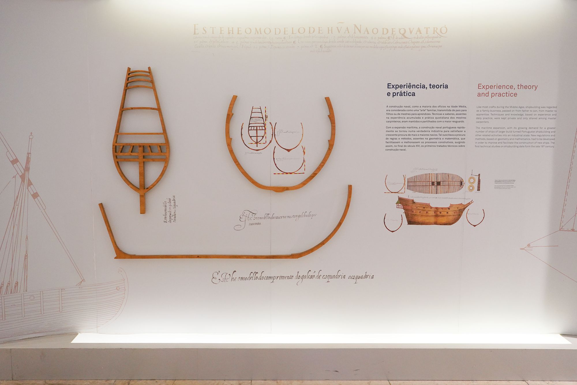
This panel explains how Portugal’s shipbuilding developed to meet the demands of exploration and trade. Fishing and maritime commerce were important from the country’s early days, so Portuguese kings encouraged shipbuilding by supporting tree planting for timber and offering tax incentives for new vessels.
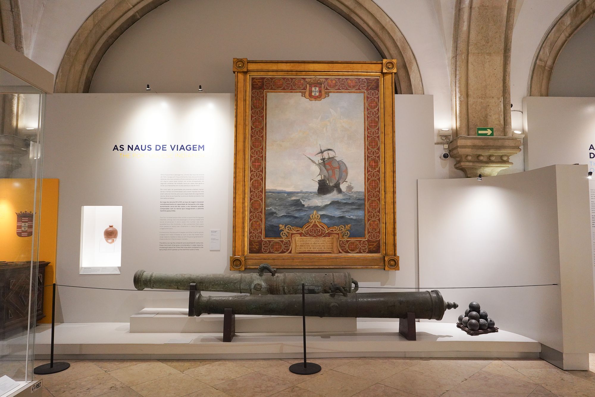
During the 15th century, shipbuilders developed caravels suited to Atlantic exploration. As voyages reached India and trade expanded, larger, sturdier ships were needed to endure long journeys and carry more goods. These were the naus, or carracks.
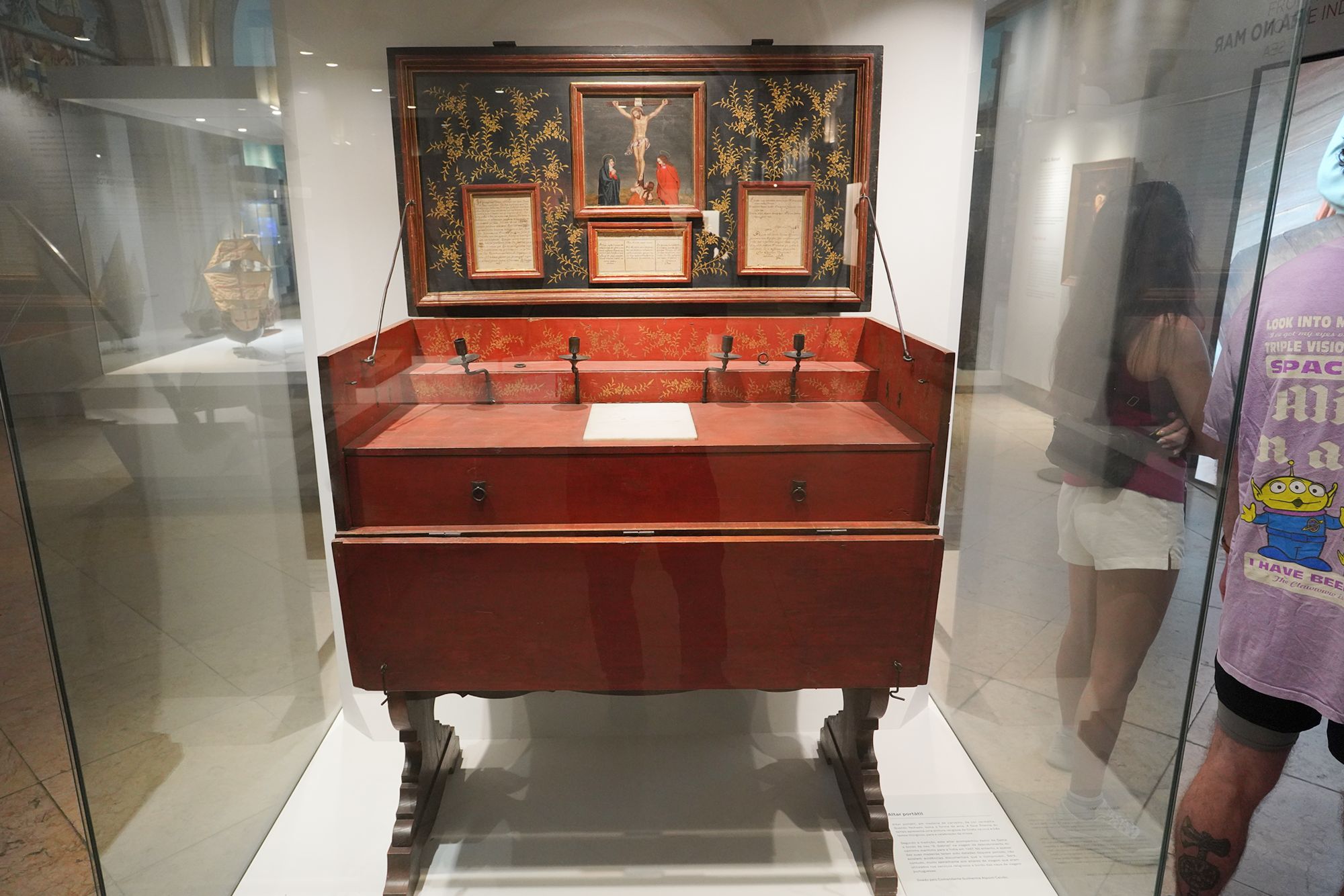
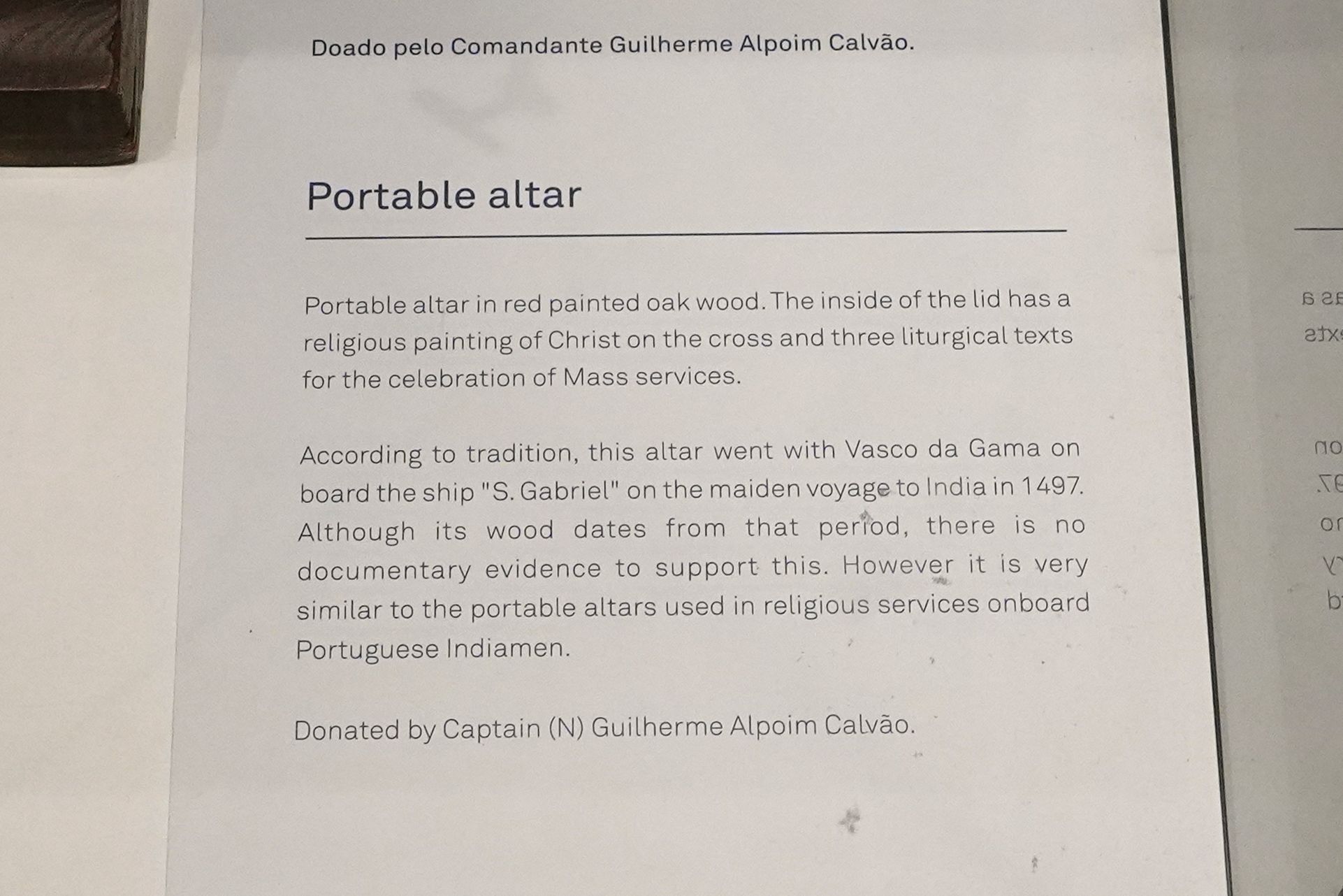
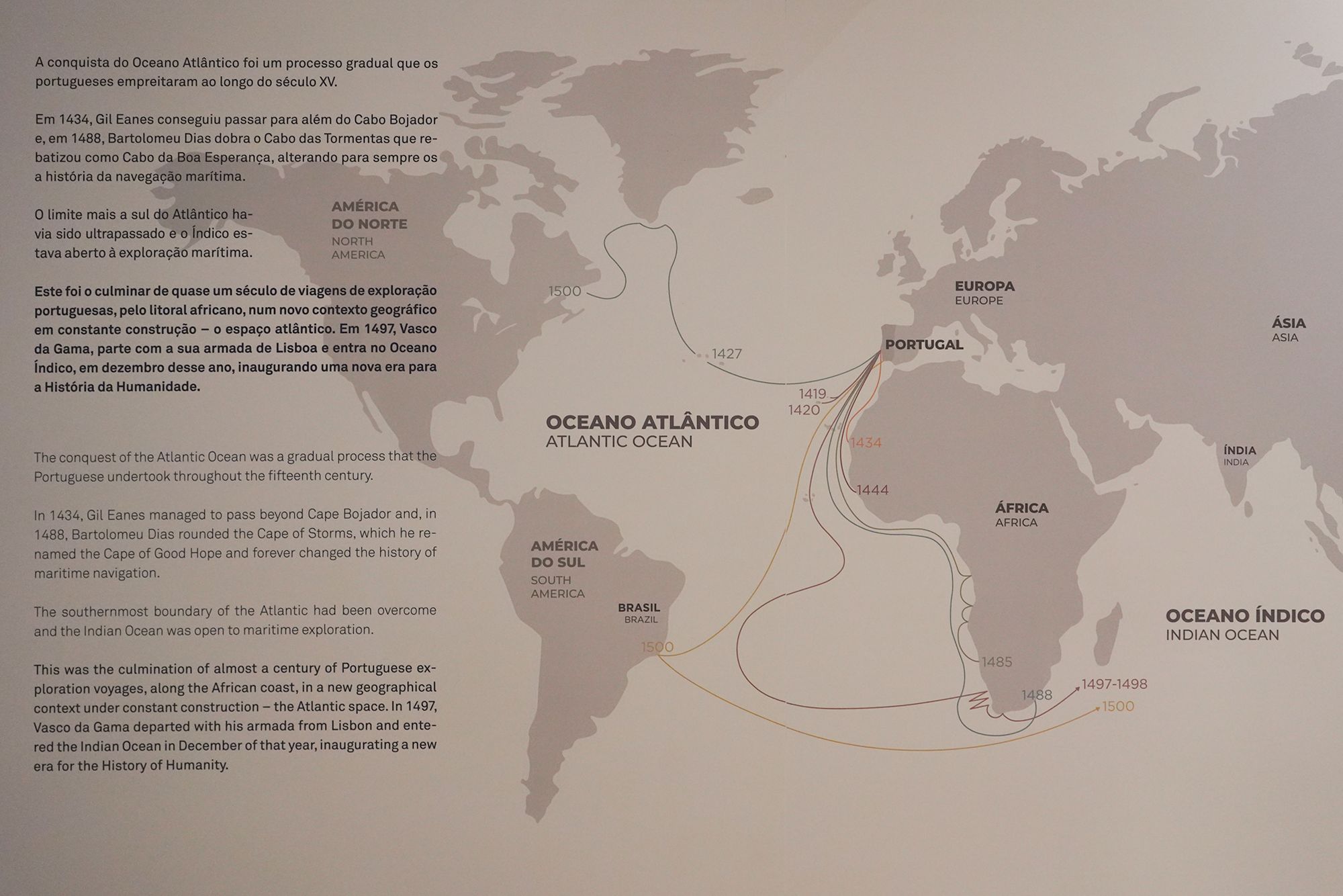
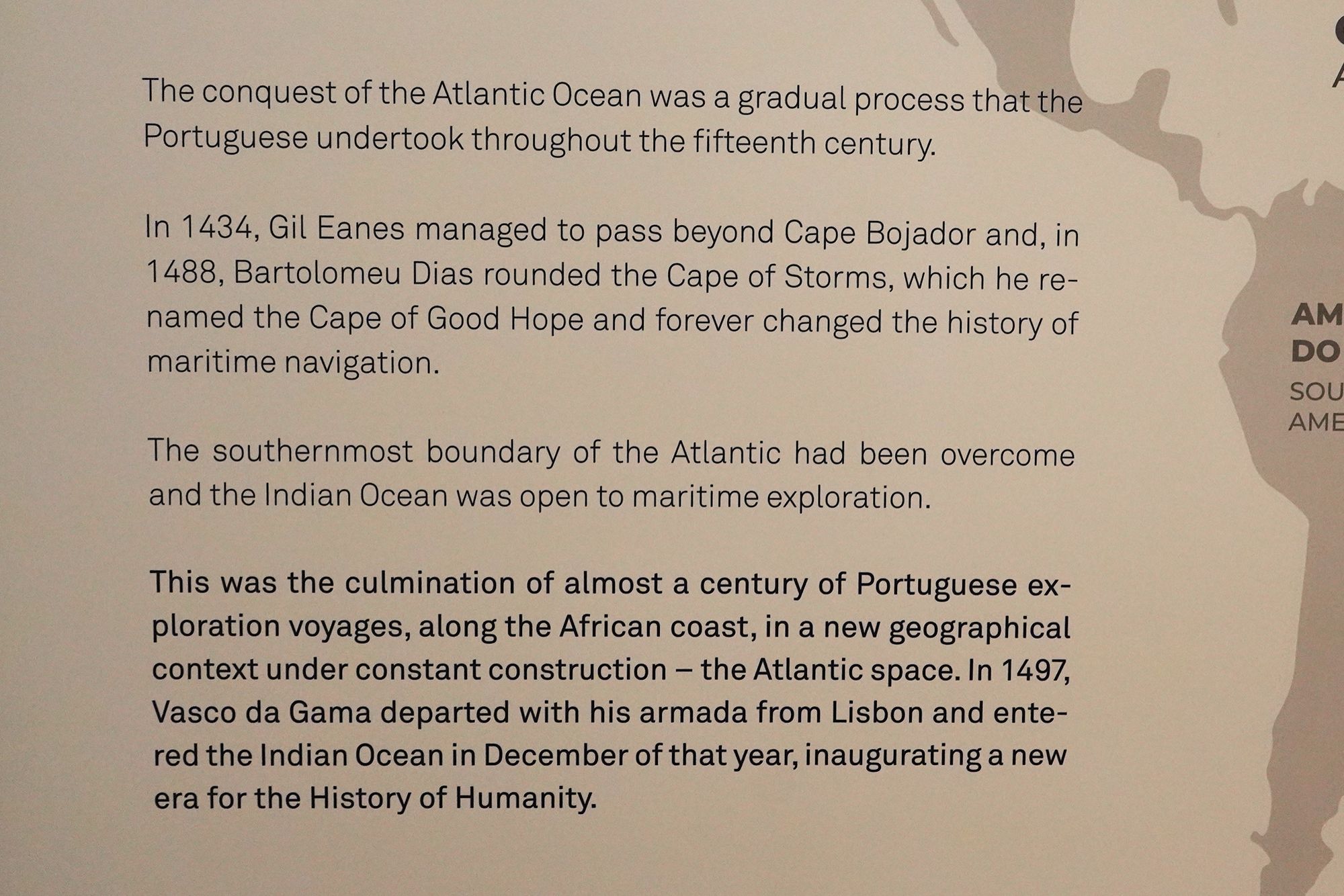
This panel traces Portugal’s gradual exploration along Africa’s coast, showing how successive voyages opened a sea passage toward India.
In 1434, Gil Eanes sailed beyond Cape Bojador. In 1488, Bartolomeu Dias rounded the cape now known as the Cape of Good Hope, demonstrating that ships could sail around southern Africa into the Indian Ocean.
Building on these earlier voyages, Vasco da Gama departed Lisbon in 1497 and entered the Indian Ocean that December. His expedition marked the next major step toward establishing Portugal’s sea route to India.
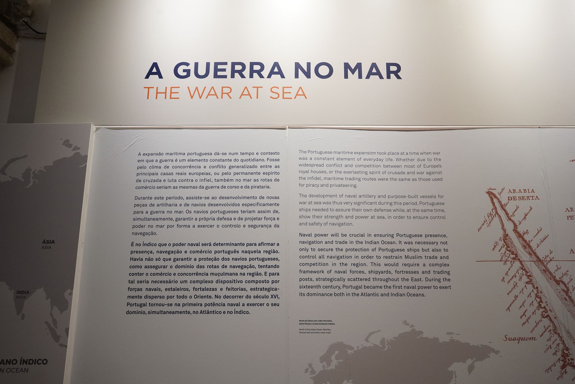
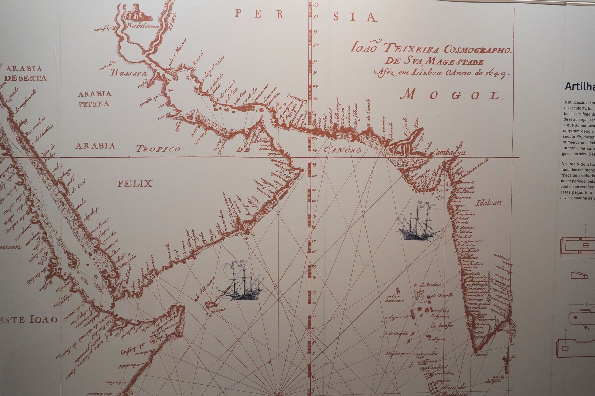
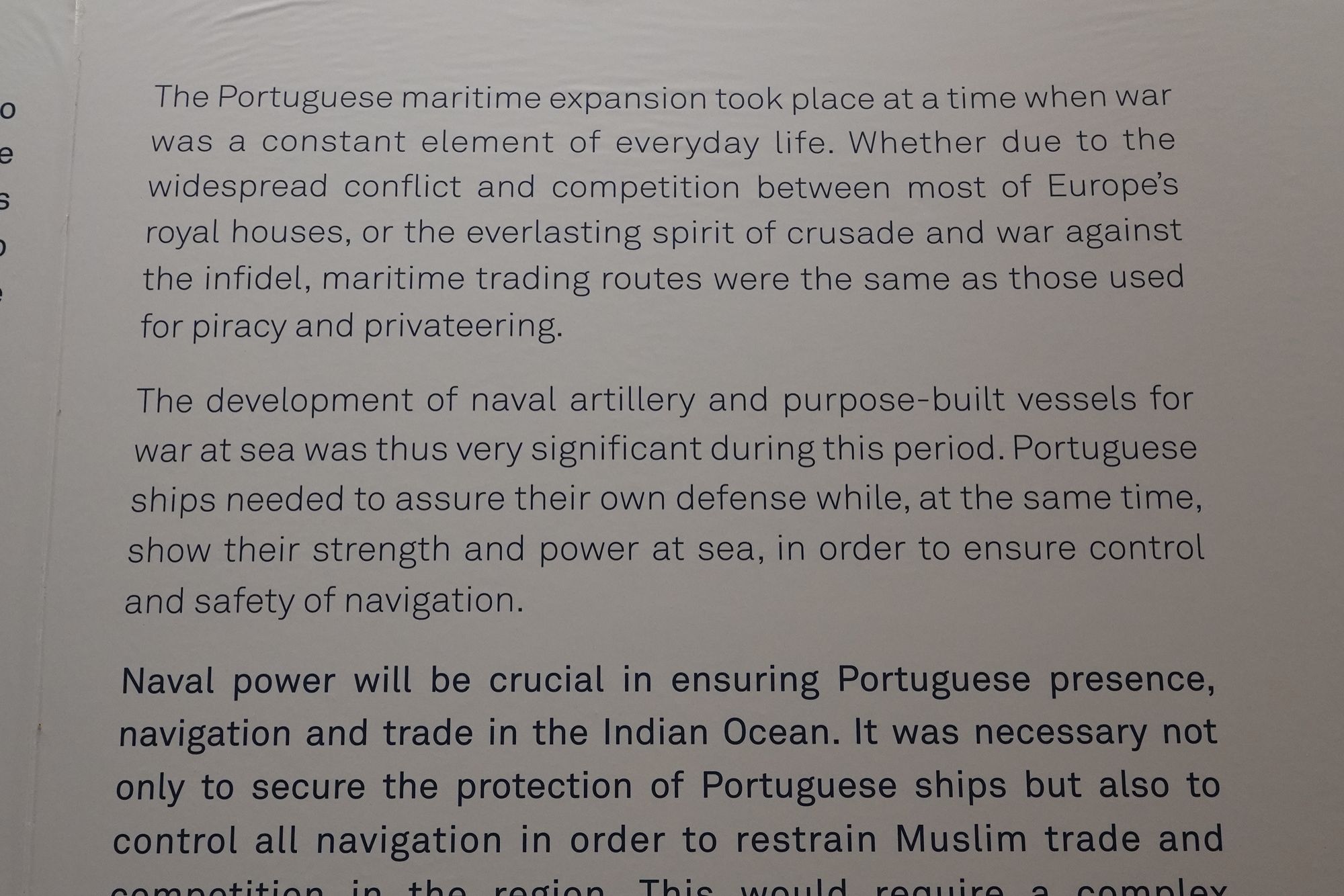
This panel explains the military power behind Portugal’s maritime expansion. Trade routes were also used by pirates and privateers, while rivalry among European monarchies and religious conflict contributed to warfare at sea.
Naval artillery and ships built specifically for combat helped Portugal defend its vessels and enforce its power. In the Indian Ocean, the panel describes ambitions that went beyond protecting Portuguese shipping: Portugal also sought to control navigation and restrict competing Muslim trade. Overseas commerce and military force were closely connected.
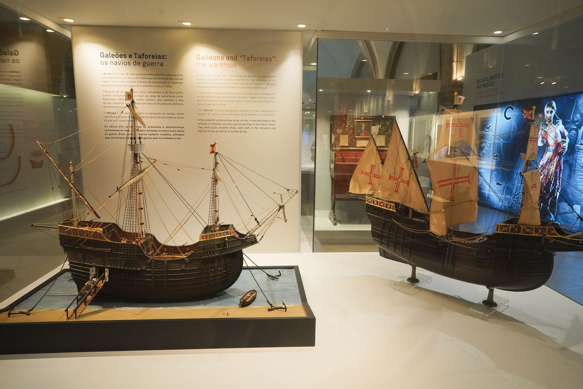
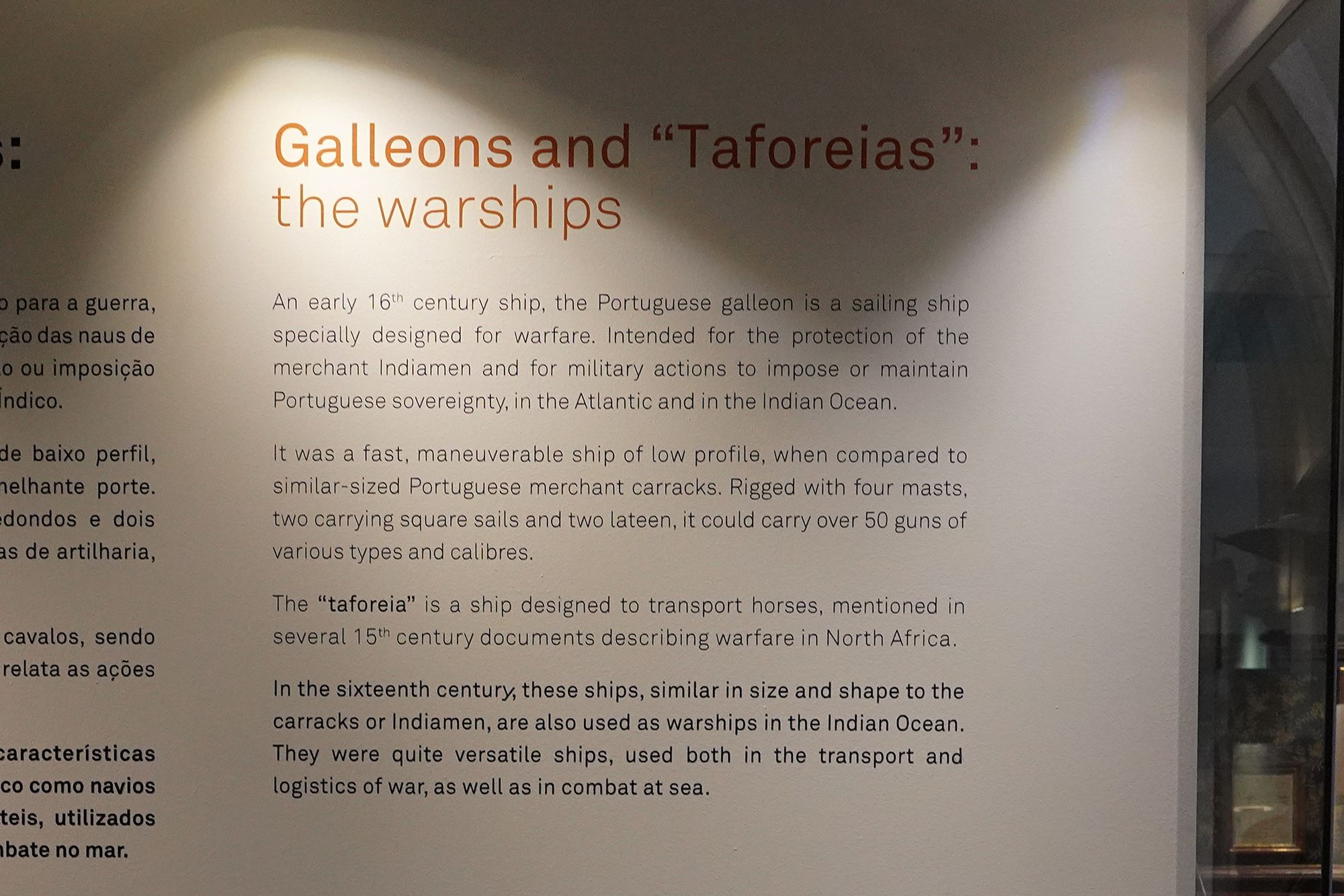
This panel introduces galleons and taforeias, vessels used in Portugal’s overseas military operations.
The Portuguese galleon was designed for warfare in the early 16th century. Faster and more maneuverable than similarly sized merchant carracks, it protected trading ships and supported military campaigns. Its four masts combined square and triangular sails, and it could carry more than 50 guns.
The taforeia was originally designed to transport horses for warfare in North Africa. In the 16th century, these versatile ships also served in the Indian Ocean, carrying military supplies and taking part in naval combat.
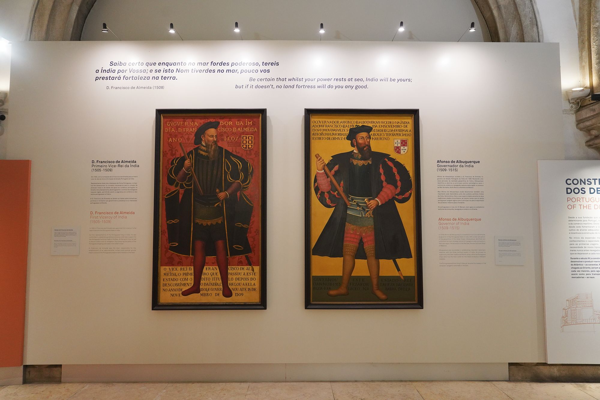
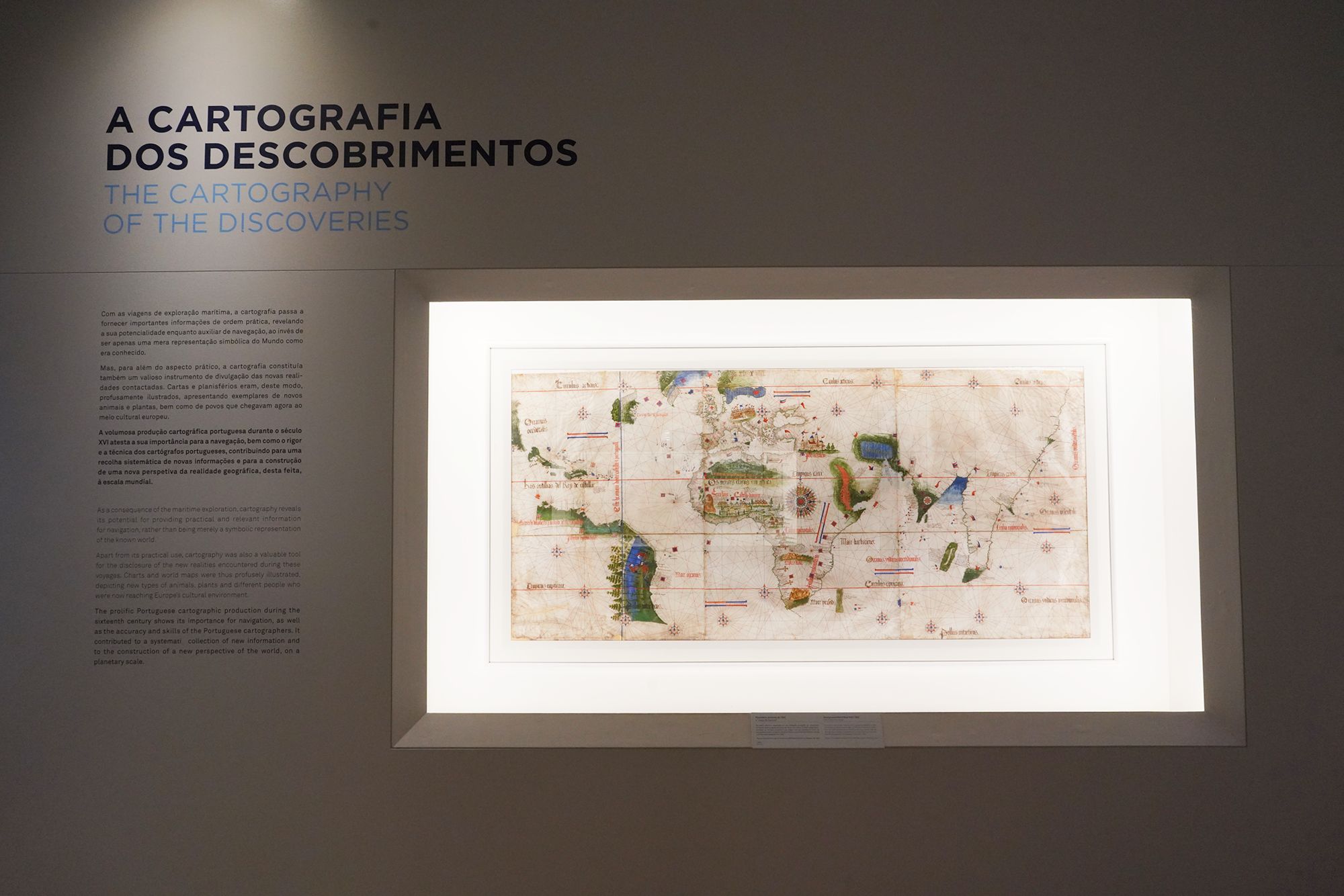
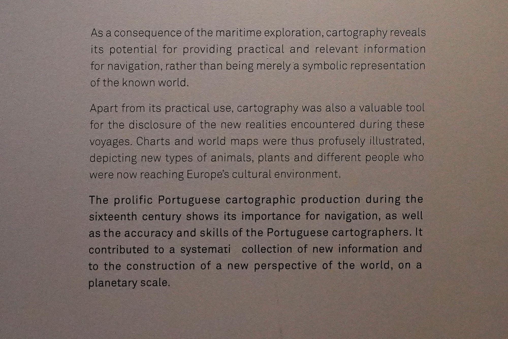
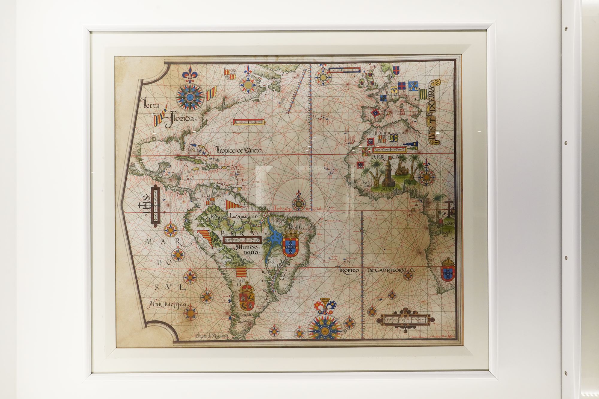
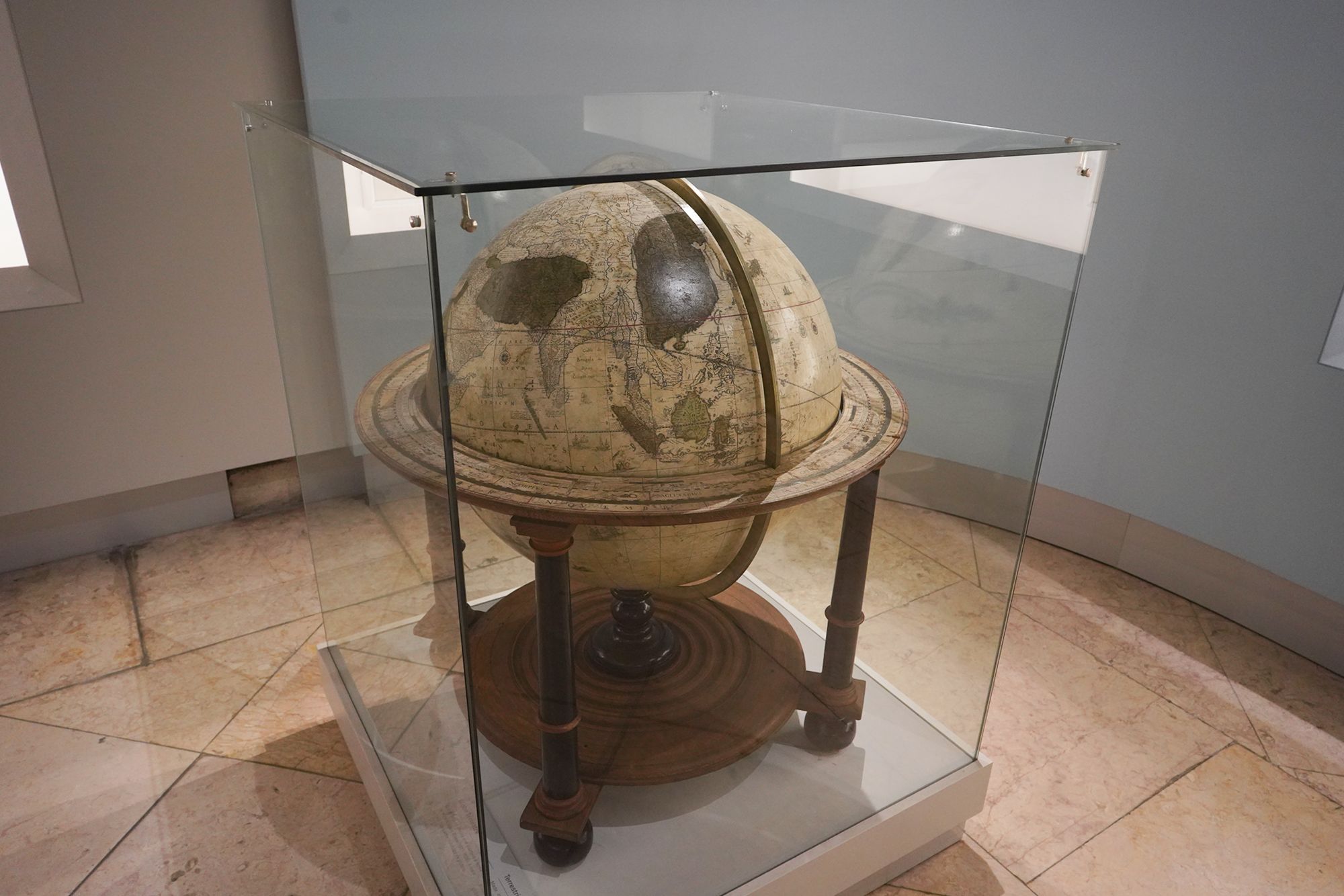
This panel explains how maritime exploration advanced cartography, the art and science of mapmaking. Charts provided practical information for navigation, incorporating knowledge gathered during successive voyages.
Maps also introduced European audiences to unfamiliar places, with illustrations of animals, plants, and peoples encountered overseas. The museum highlights the skill of Portuguese mapmakers in the 16th century and how their work helped build a broader, increasingly detailed understanding of the world.
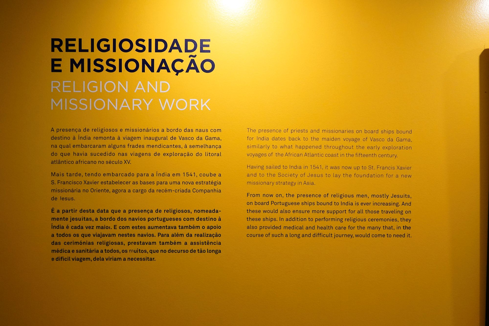
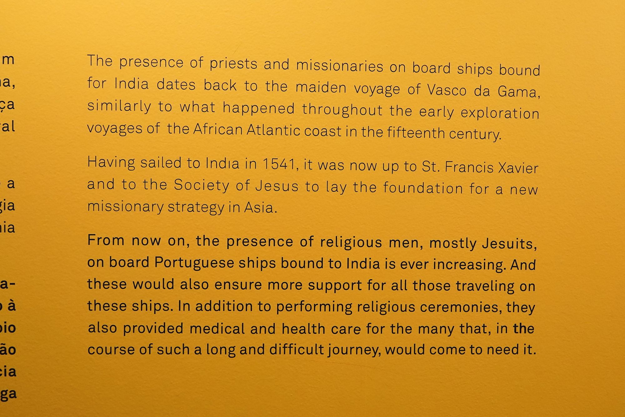
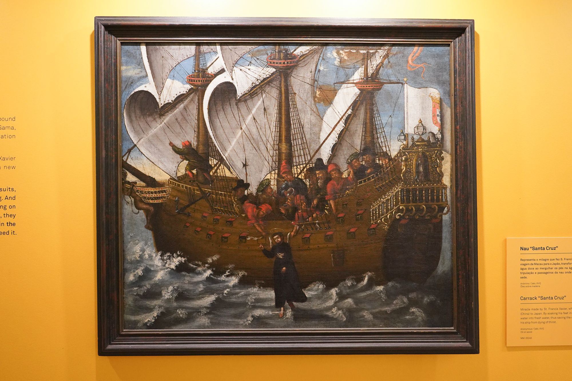
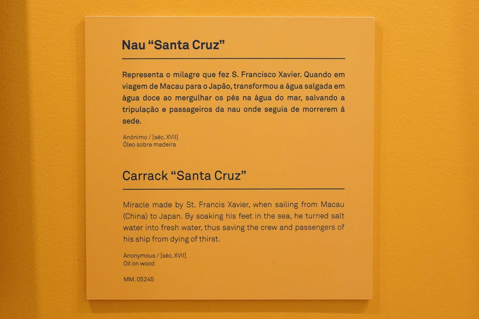
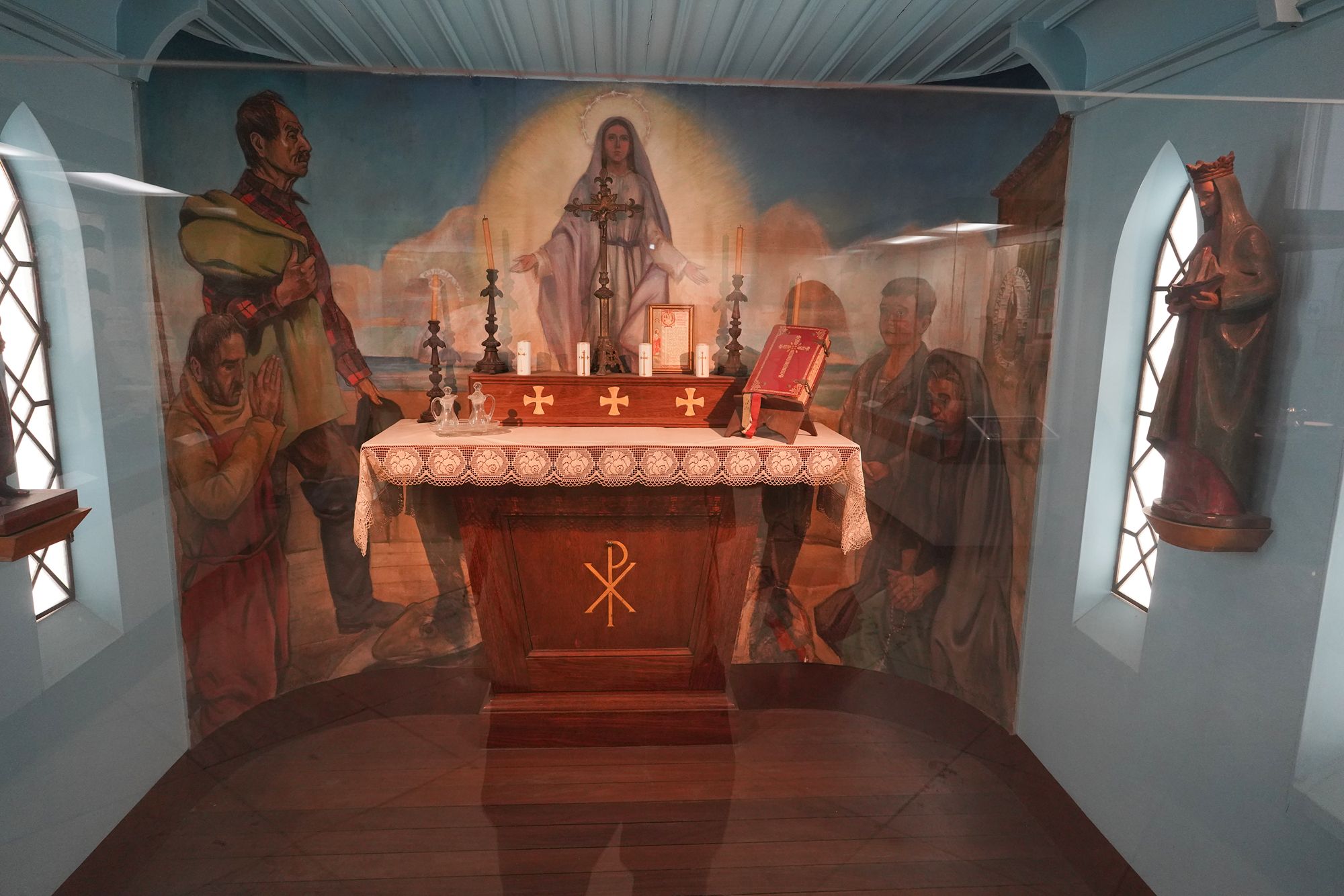
This panel explores religion and missionary work aboard Portuguese ships. Priests and friars accompanied voyages from the early exploration of Africa’s coast and Vasco da Gama’s first voyage to India.
After St. Francis Xavier departed for India in 1541, he and the Jesuits helped establish a new missionary approach in Asia. Increasing numbers of Jesuits traveled aboard Portuguese ships bound for India. Besides conducting religious ceremonies, they cared for sick travelers during the long and difficult journeys, providing both spiritual support and practical assistance.
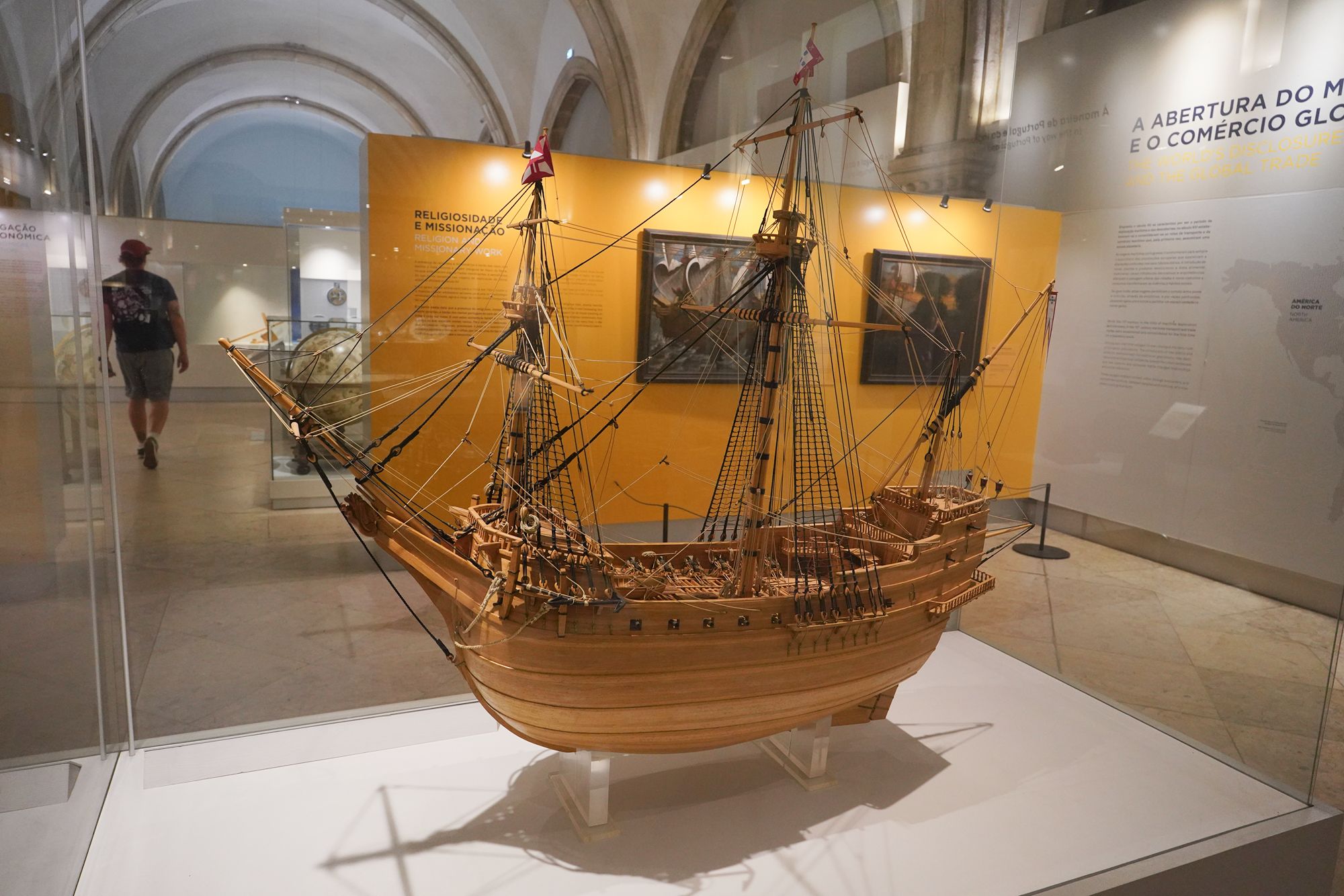
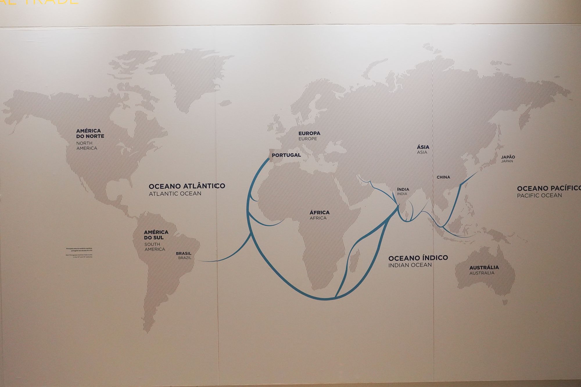
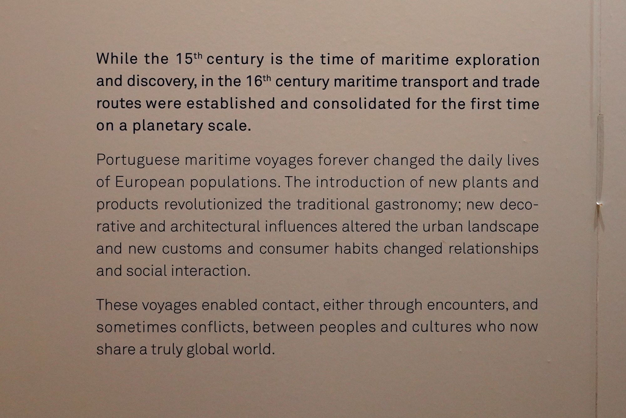
This panel explores how maritime exploration changed everyday life. It describes the transition from the exploratory voyages of the 15th century to the extensive maritime trade networks of the 16th century.
New plants and imported products changed European cooking, while decorative and architectural influences reshaped buildings and cities. Contact with other cultures also introduced new customs and consumer habits. The panel connects these exchanges—and the conflicts that accompanied them—to the development of a more interconnected world.
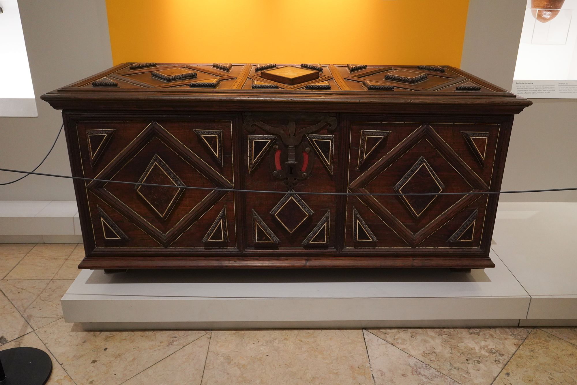
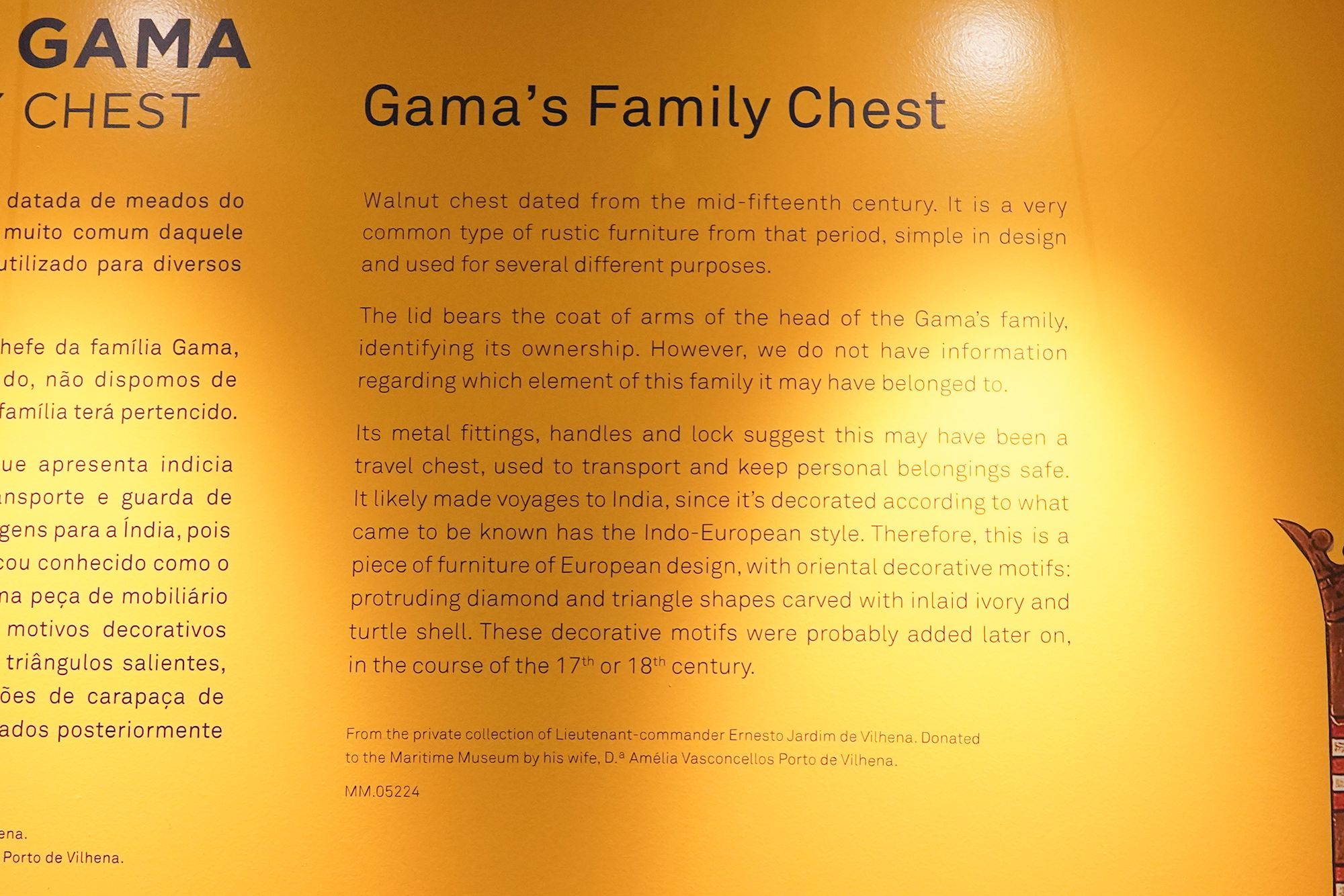
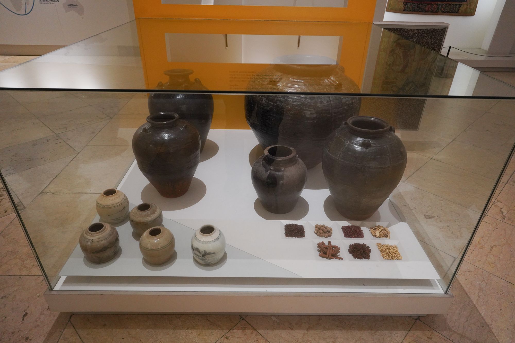
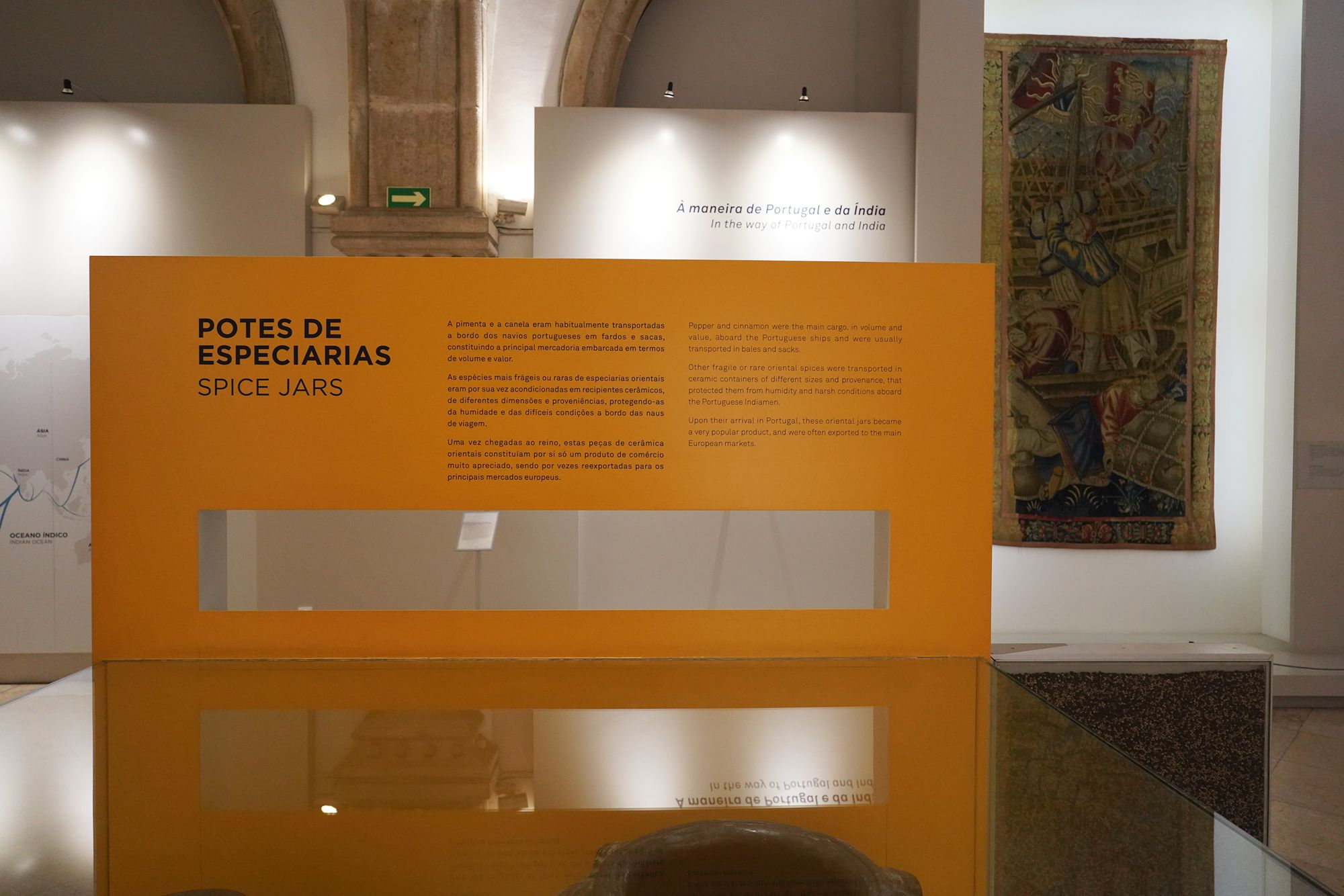
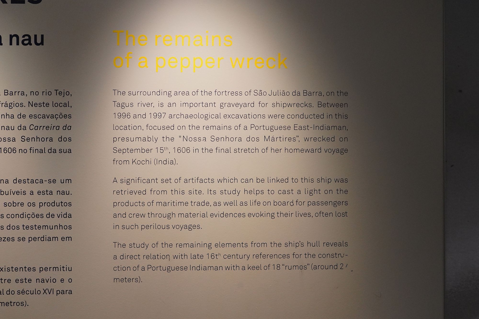
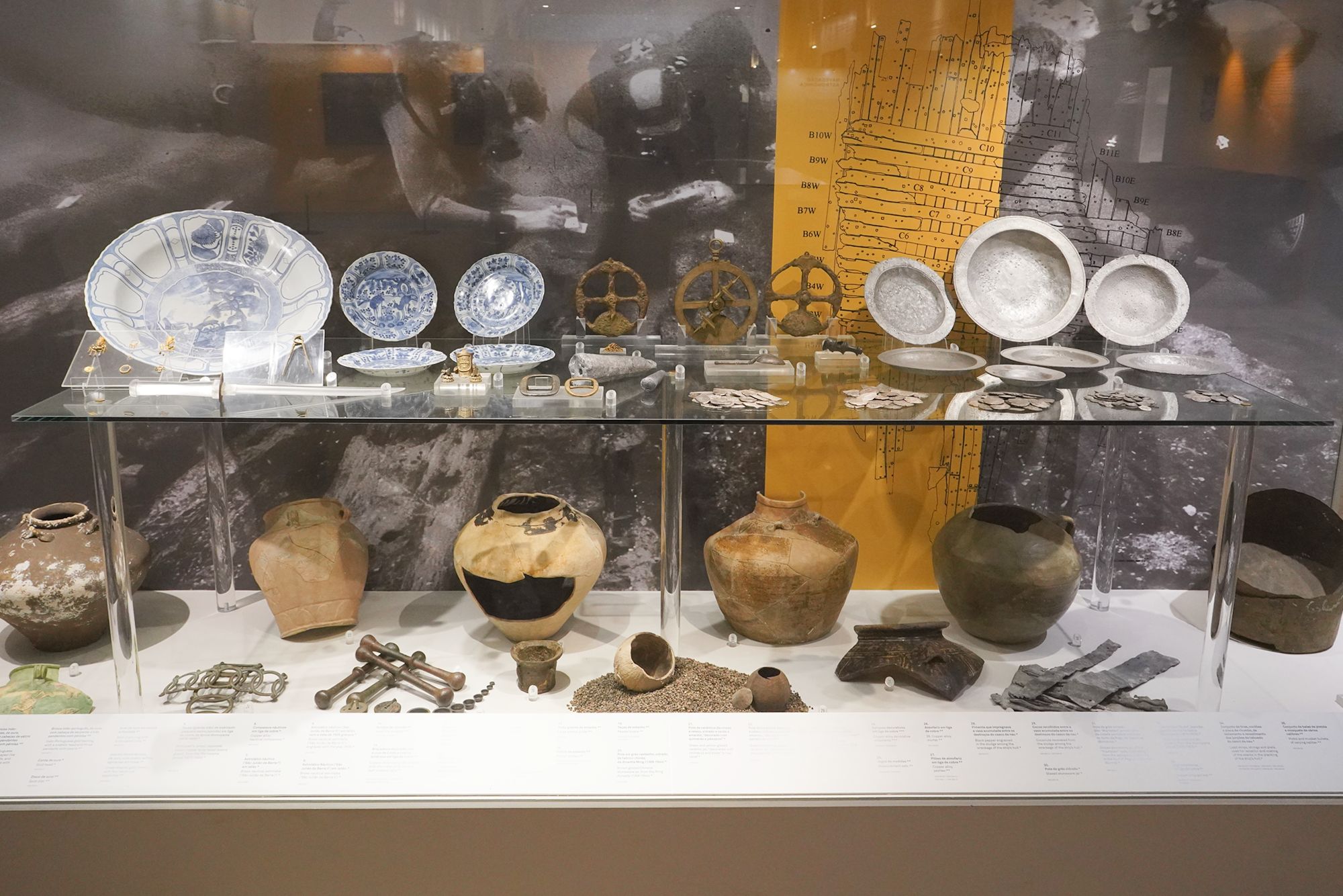
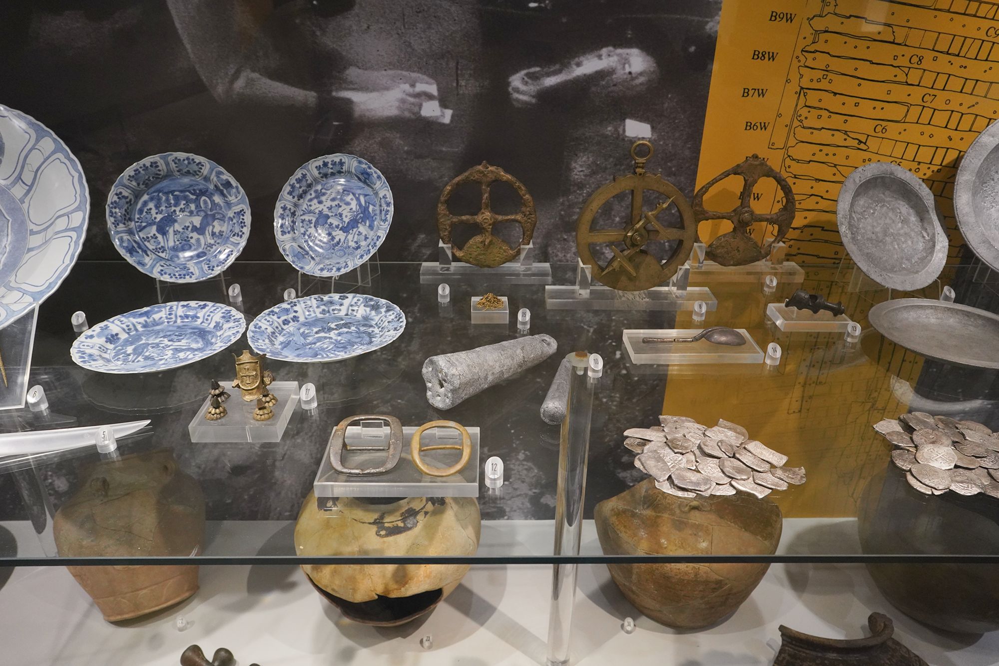
This panel describes a shipwreck believed to be the Nossa Senhora dos Mártires, a Portuguese trading ship lost near São Julião da Barra at the entrance to the Tagus River. It sank on September 15, 1606, near the end of its return voyage from Kochi, India.
Excavations in 1996–1997 recovered artifacts that help explain the goods carried in maritime trade and the daily lives of passengers and crew. Surviving sections of the hull also provided evidence of how these large trading ships were built. The title, “a pepper wreck,” refers to its pepper cargo.
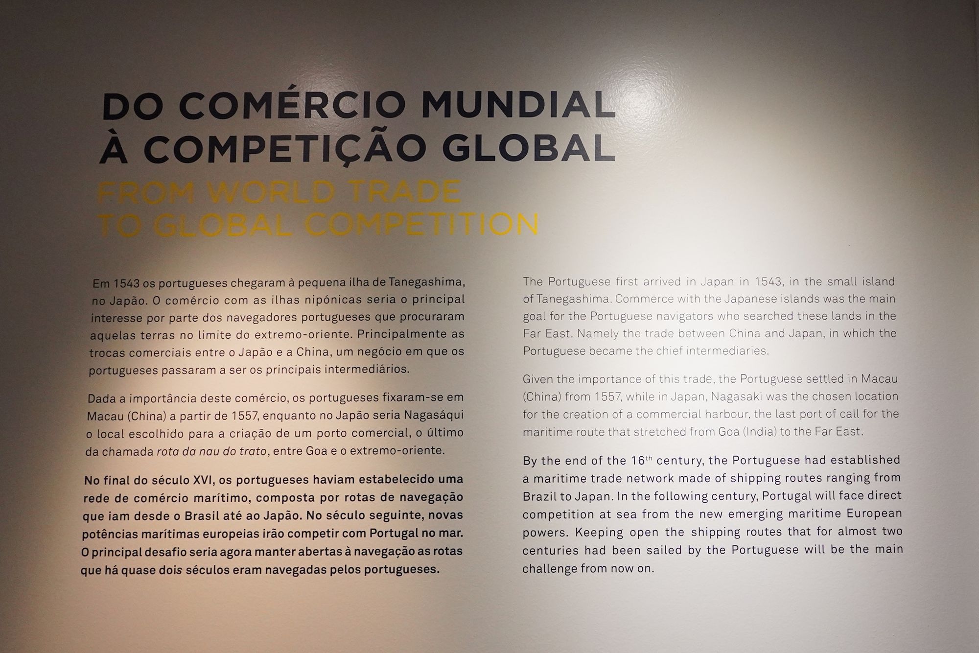
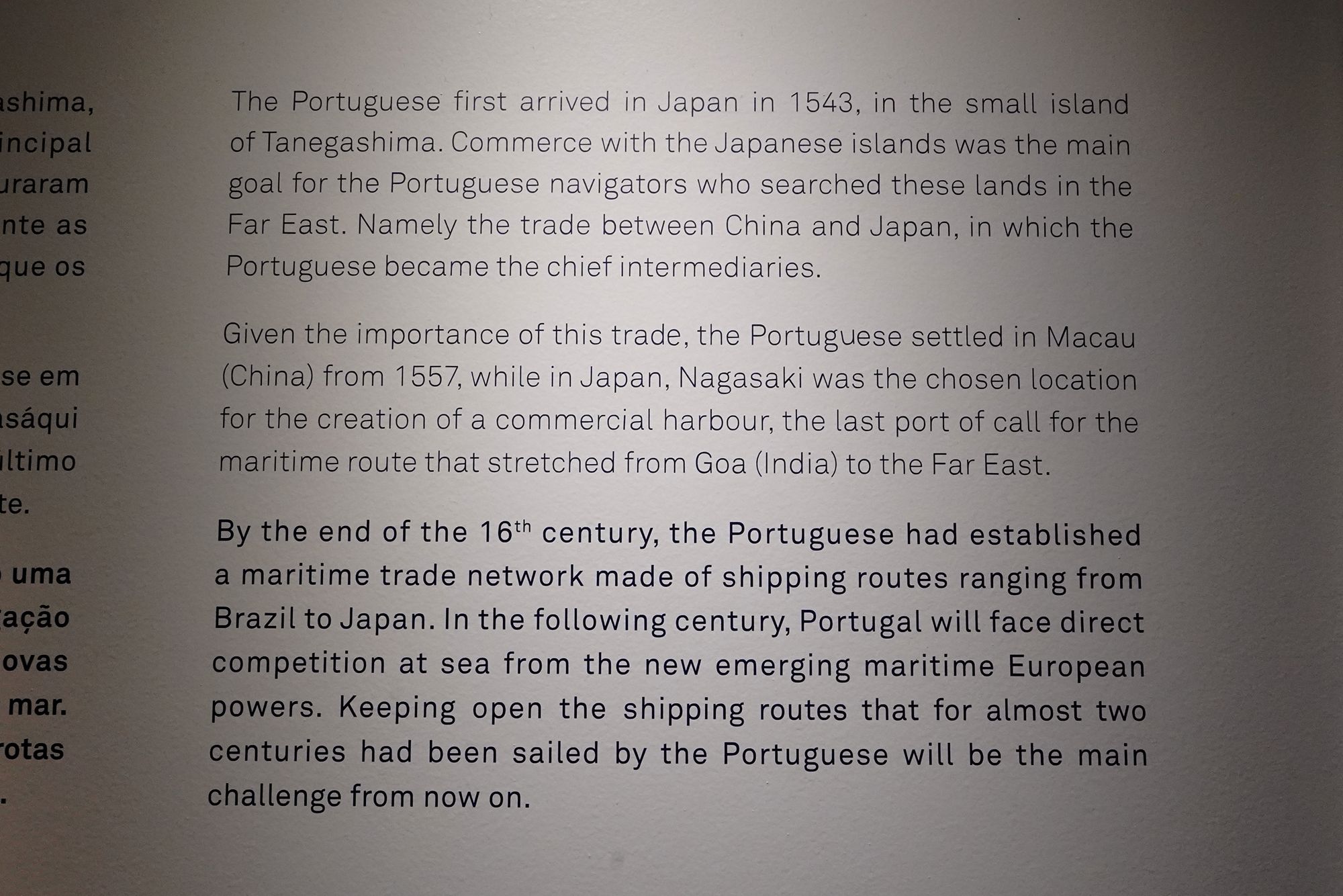
This panel traces Portugal’s trade connections with East Asia and the growing competition for its maritime routes. Portuguese traders reached Japan’s Tanegashima Island in 1543 and became important intermediaries in trade between China and Japan.
They established a presence in Macau from 1557, while Nagasaki became a trading port linked to the route from Goa to the Far East. By the end of the 16th century, Portugal’s maritime network extended from Brazil to Japan.
In the following century, emerging European maritime powers challenged Portugal, making the protection of these established shipping routes increasingly difficult.
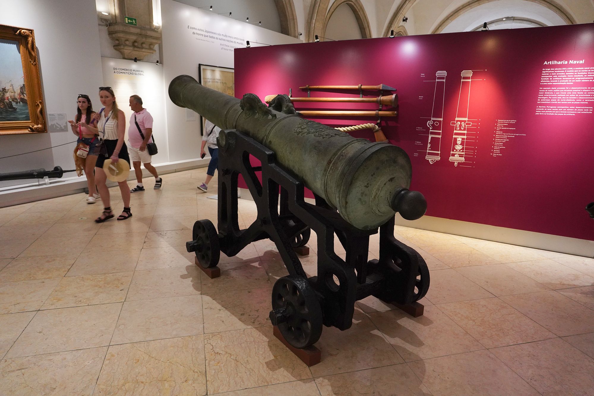
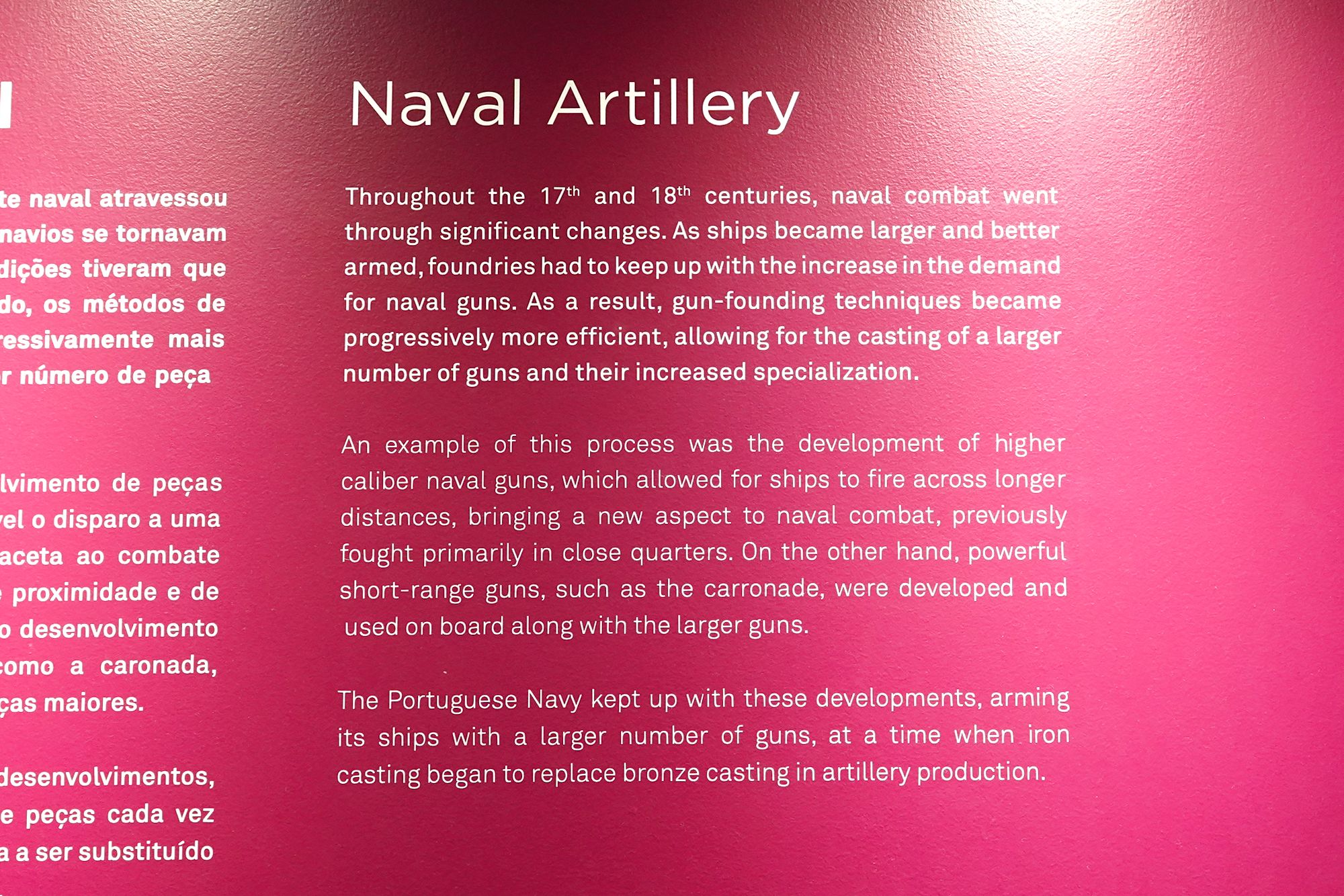
This panel explains how naval artillery changed during the 17th and 18th centuries. As warships became larger and more heavily armed, improved casting methods allowed foundries to produce more guns with specialized roles.
Larger-caliber guns enabled fighting over greater distances, while powerful short-range weapons, such as the carronade, were used alongside them. The Portuguese Navy followed these developments, equipping ships with more guns as cast iron increasingly replaced bronze in artillery production.
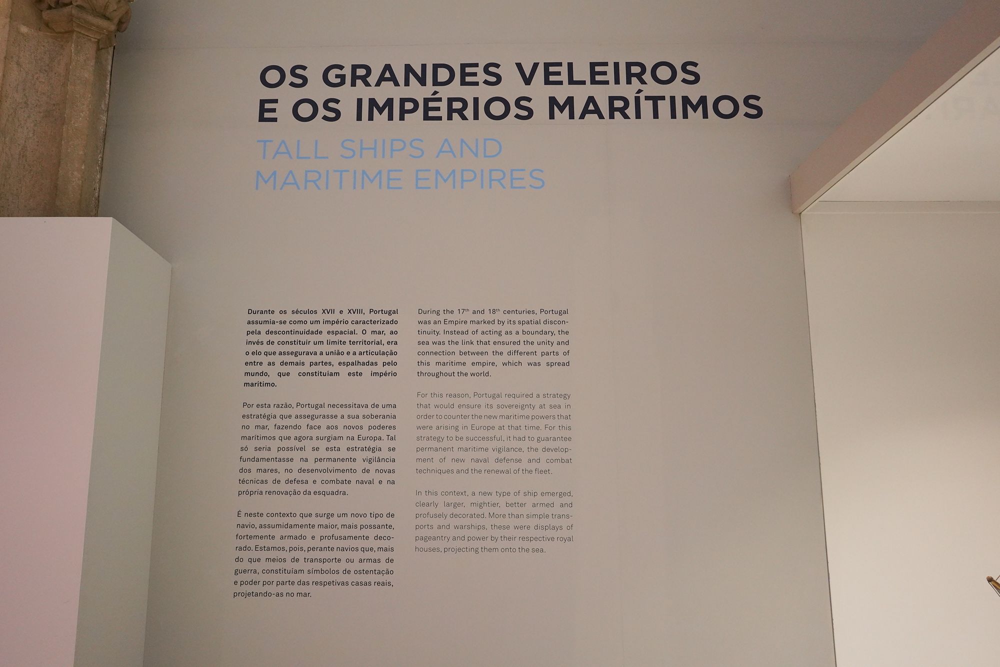
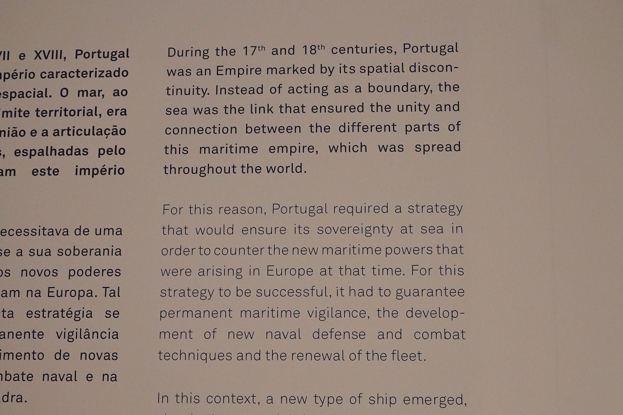
This panel explains why sea power was essential to Portugal’s empire during the 17th and 18th centuries. Its territories were scattered across the world, and maritime routes connected these distant possessions.
As competing European naval powers emerged, Portugal needed to protect those connections through continuous patrols, improved naval defense and combat techniques, and renewal of its fleet. The sea was the link holding its overseas empire together.
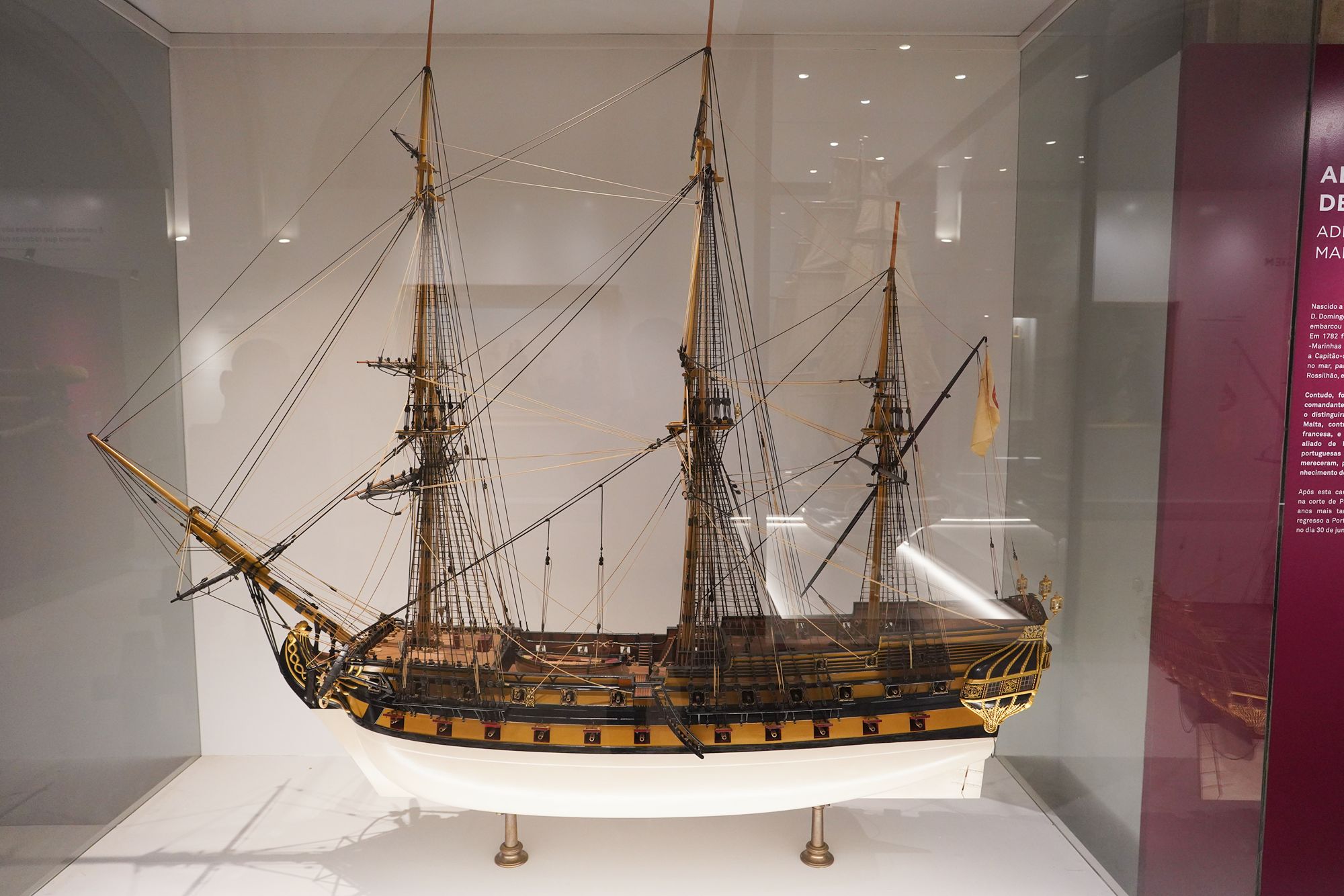
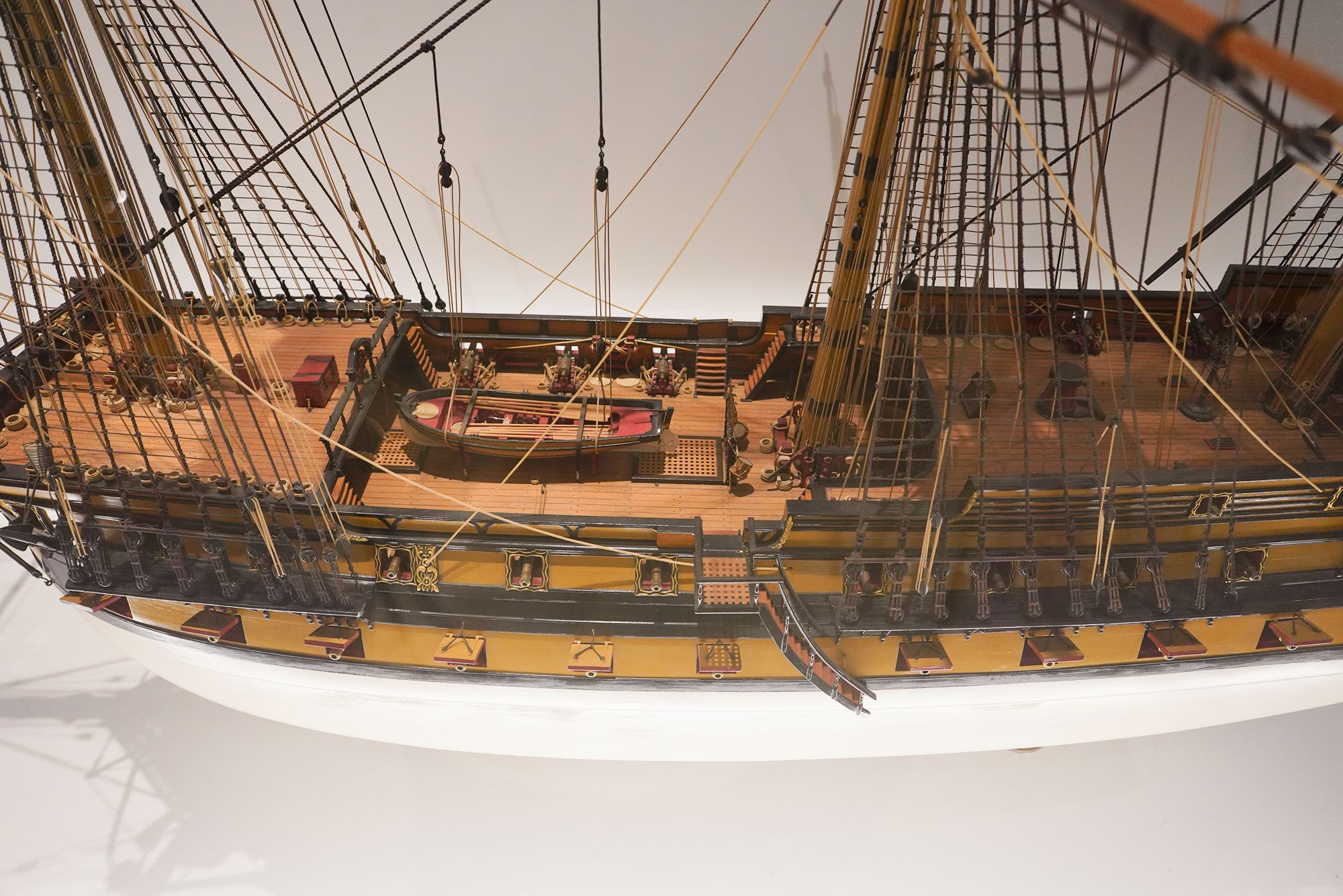
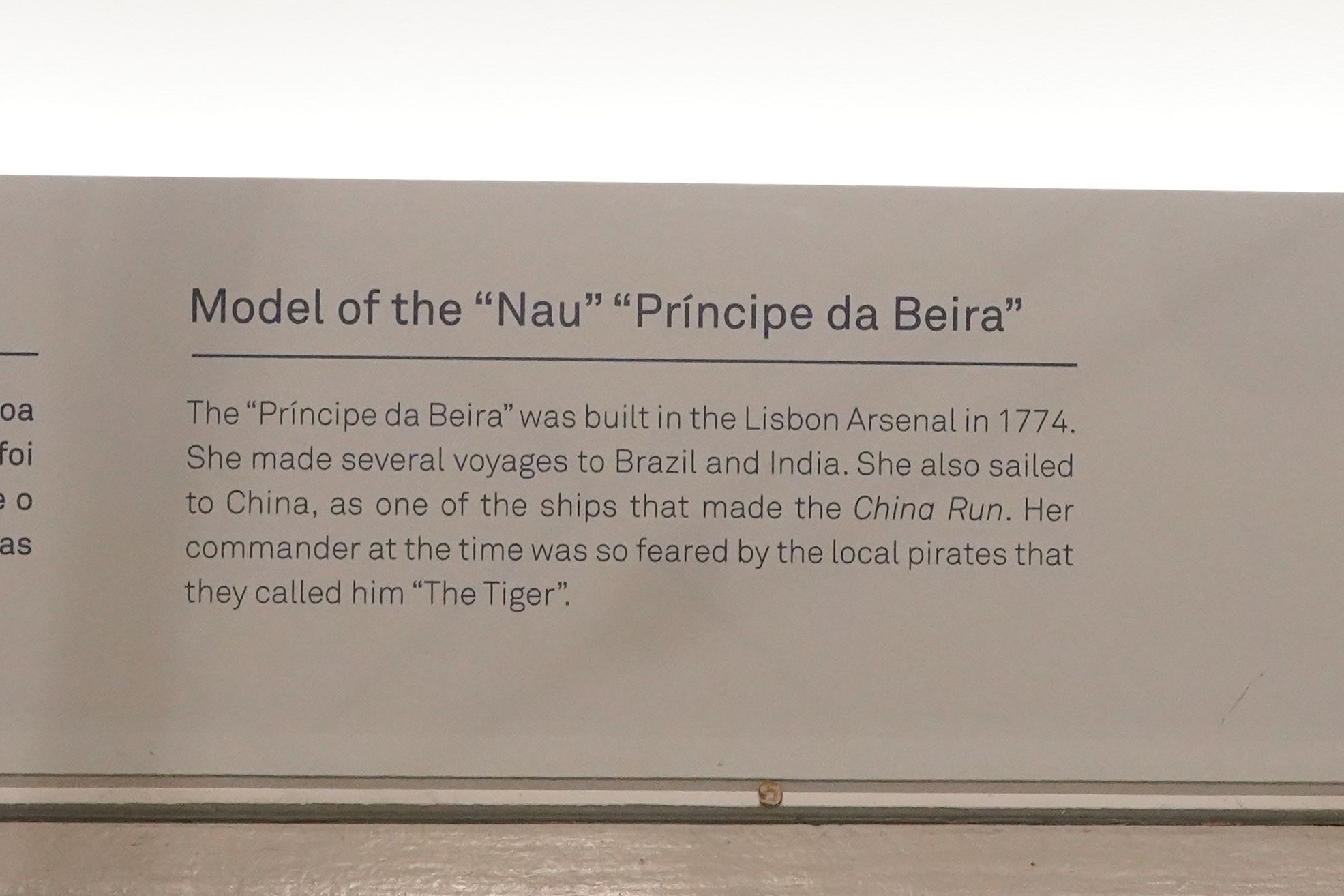
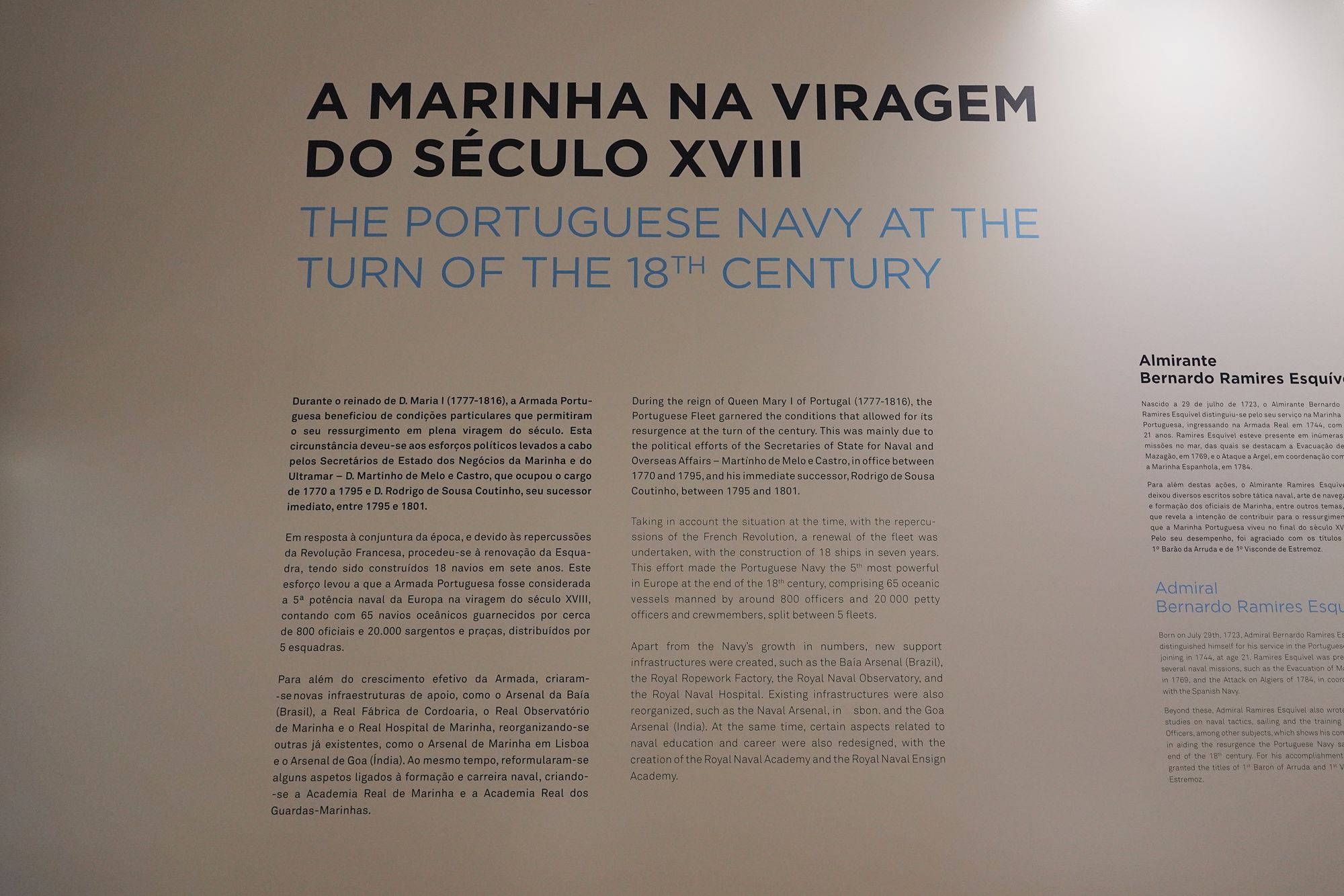
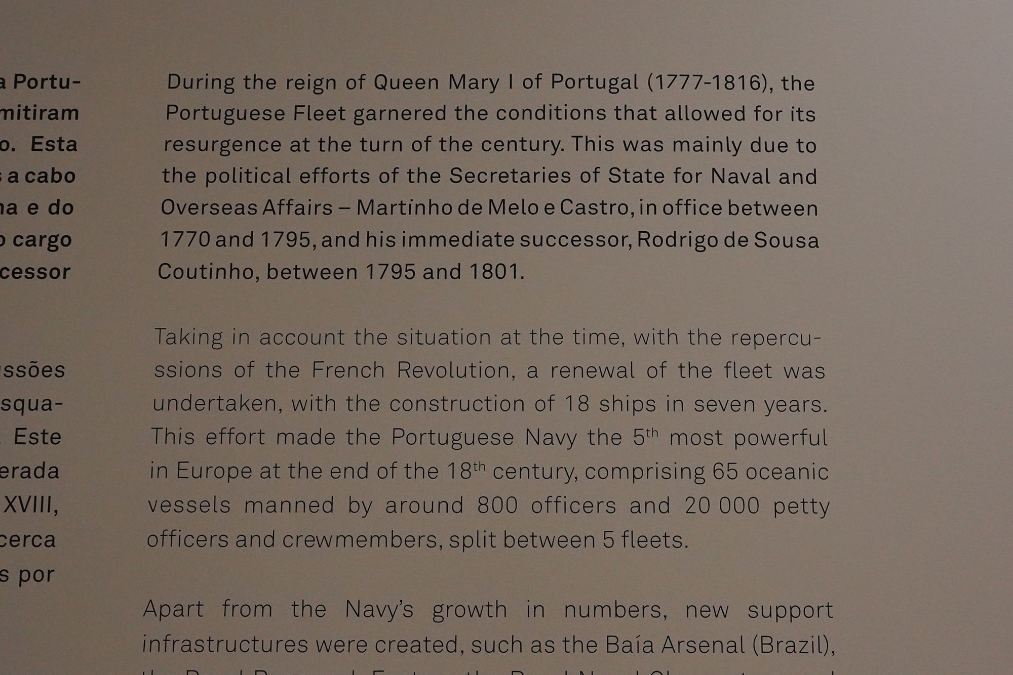
This panel describes the revival of the Portuguese Navy around the end of the 18th century, during Queen Maria I’s reign. Government reforms renewed the fleet, with 18 ships built in seven years. According to the display, Portugal became Europe’s fifth strongest naval power, with 65 ocean-going vessels divided among five fleets.
The expansion also required better support on land. Shipyards, a rope factory, a naval observatory, and a naval hospital supported the fleet, while new naval academies improved officer training. The exhibit shows how naval strength depended on an entire system of construction, supplies, education, and care.
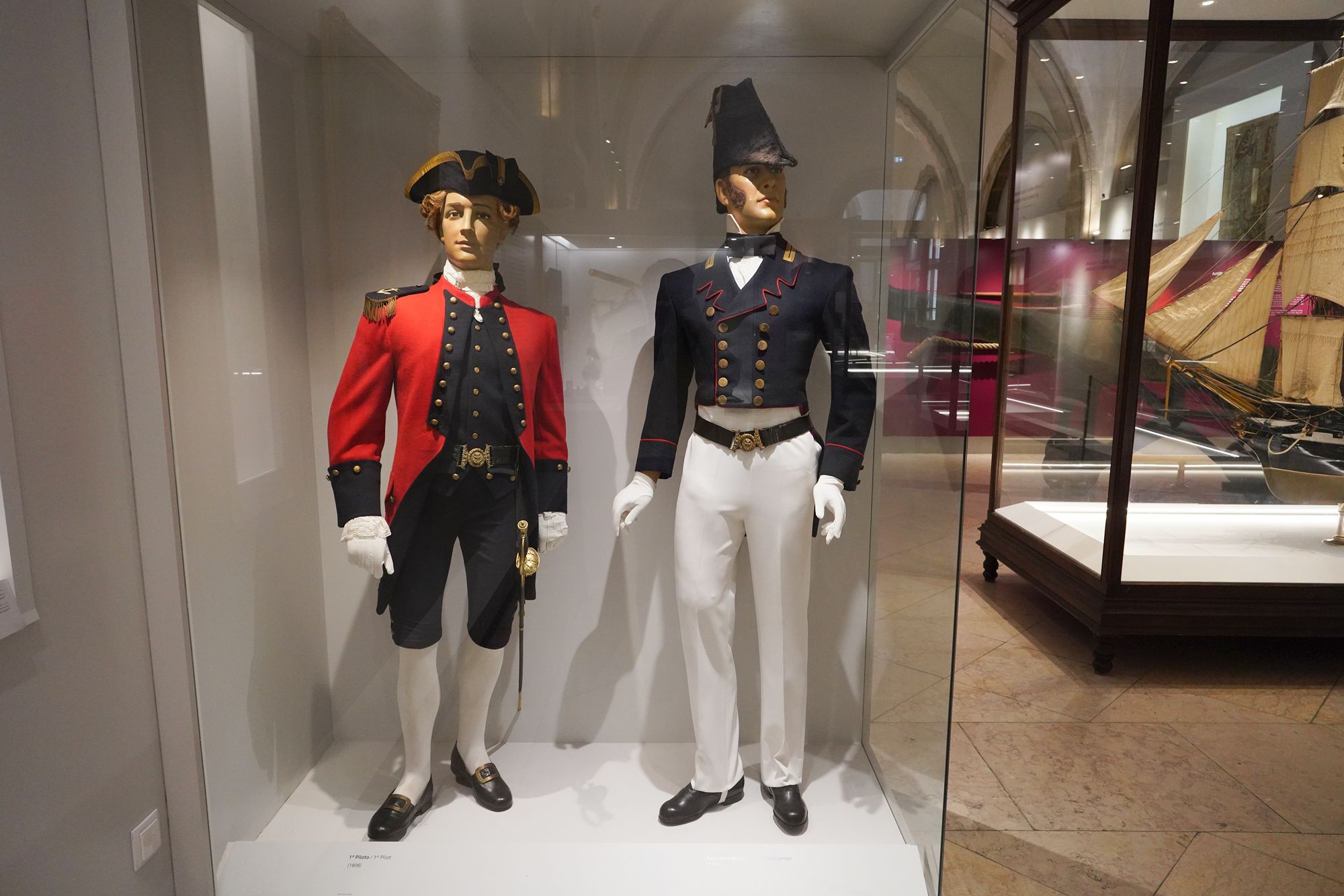
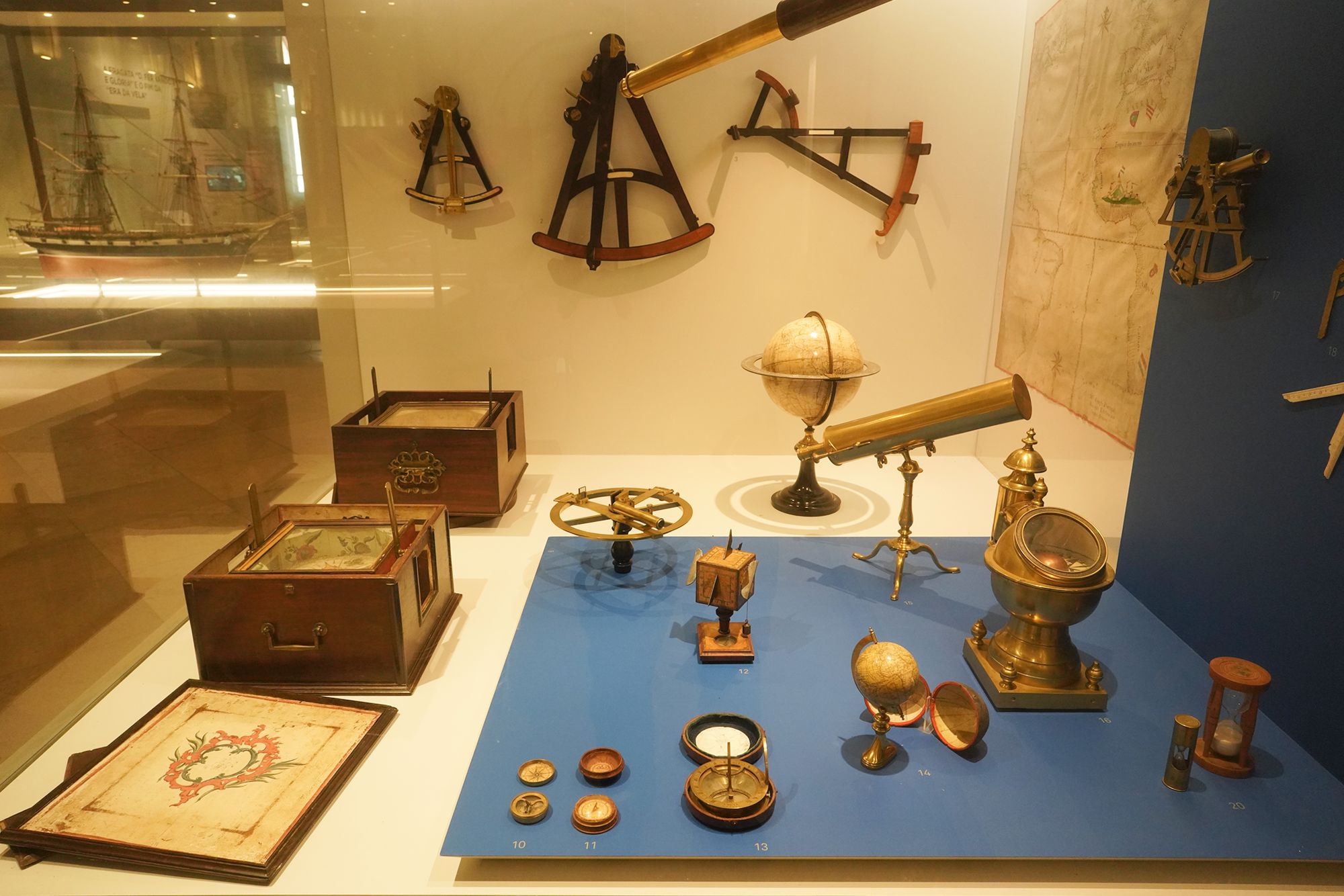
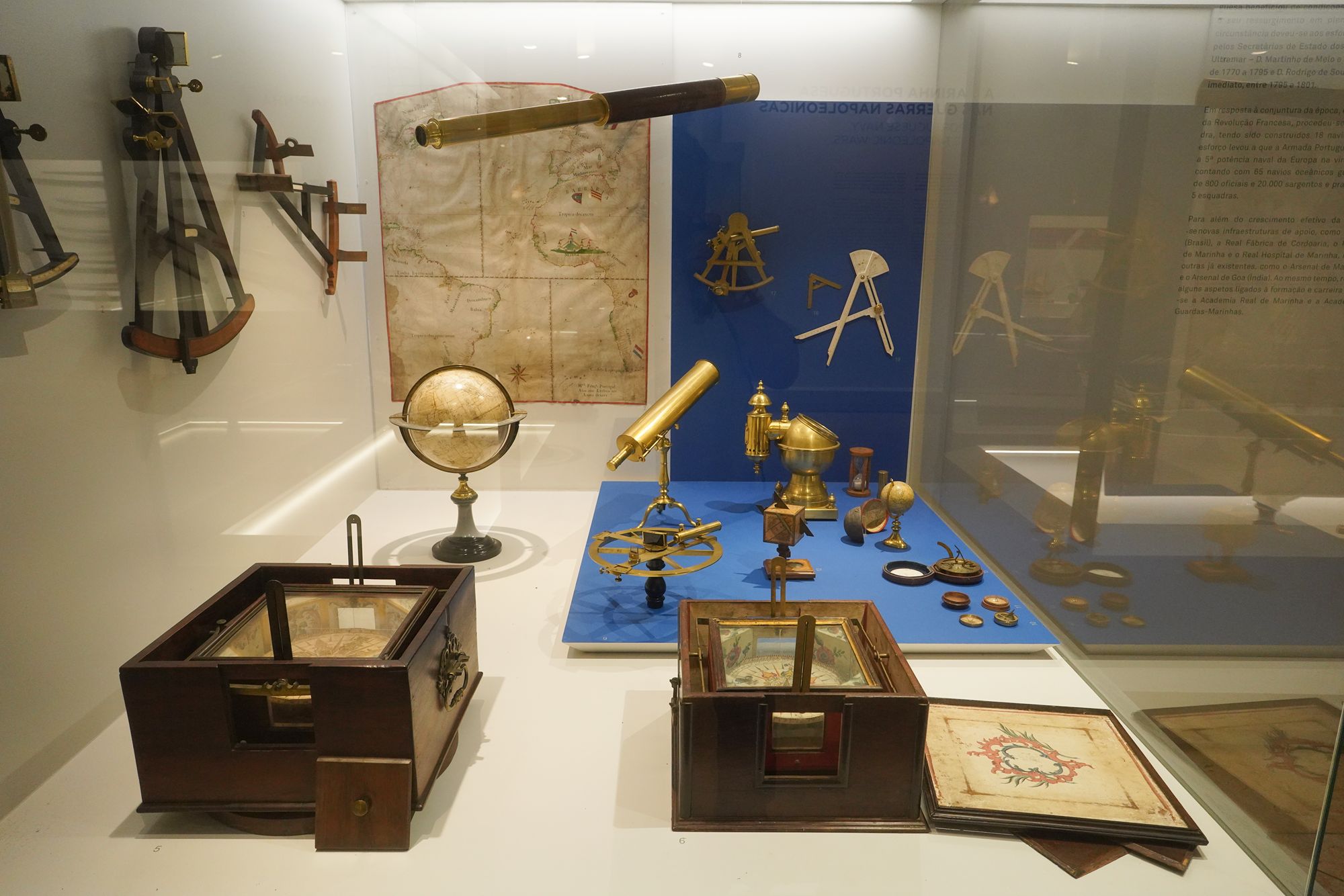
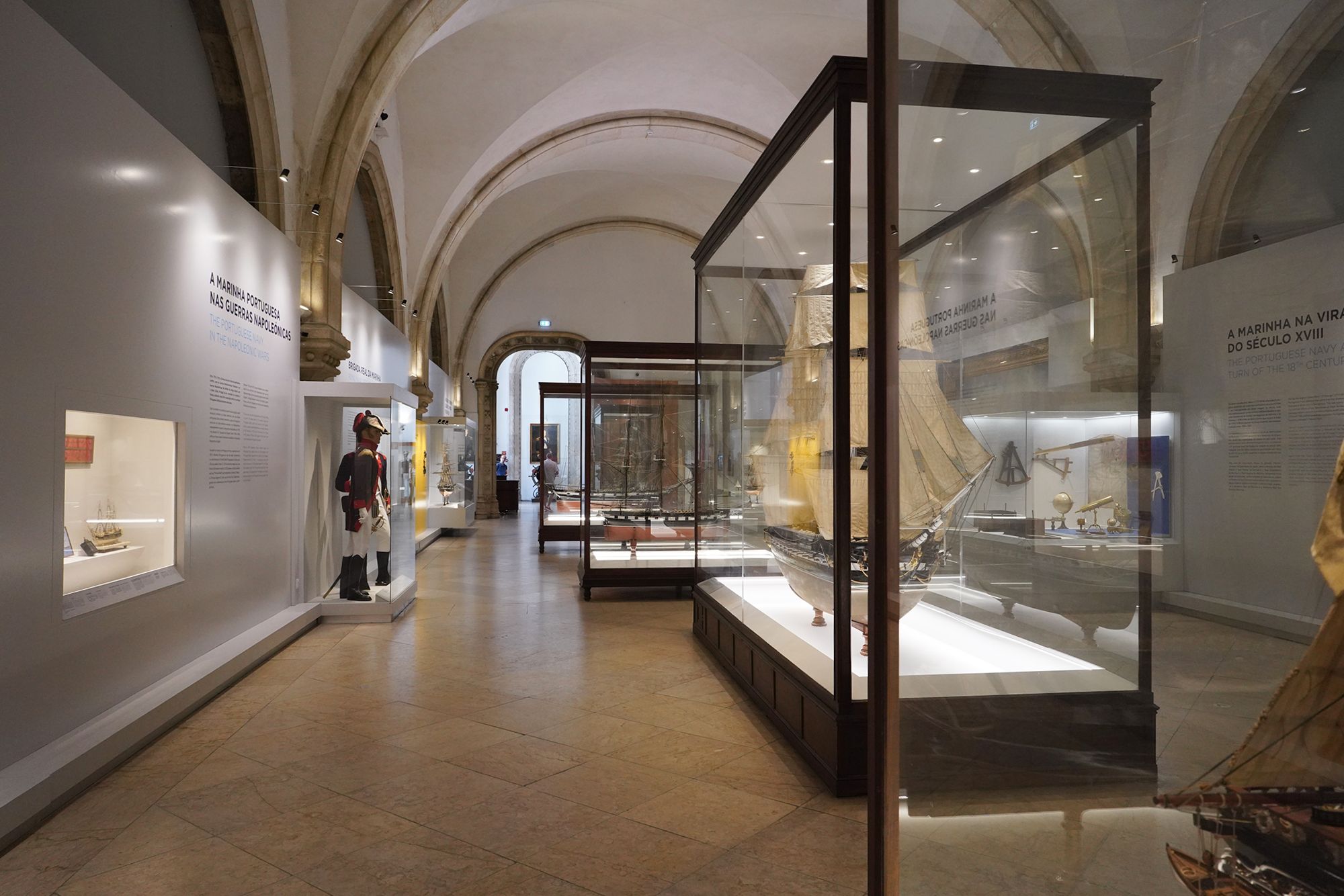
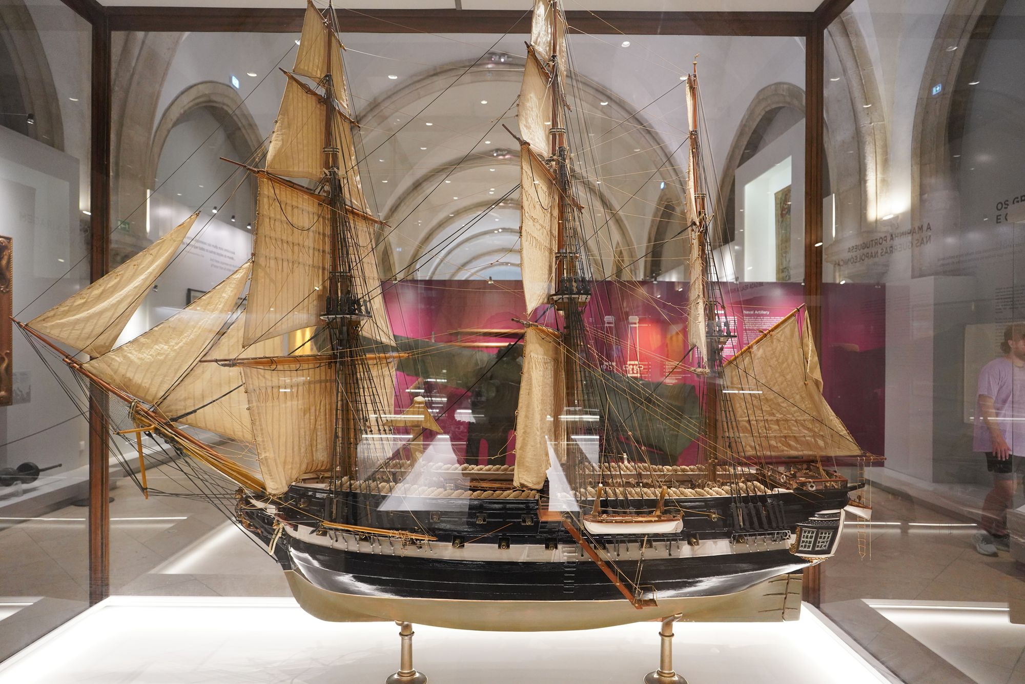
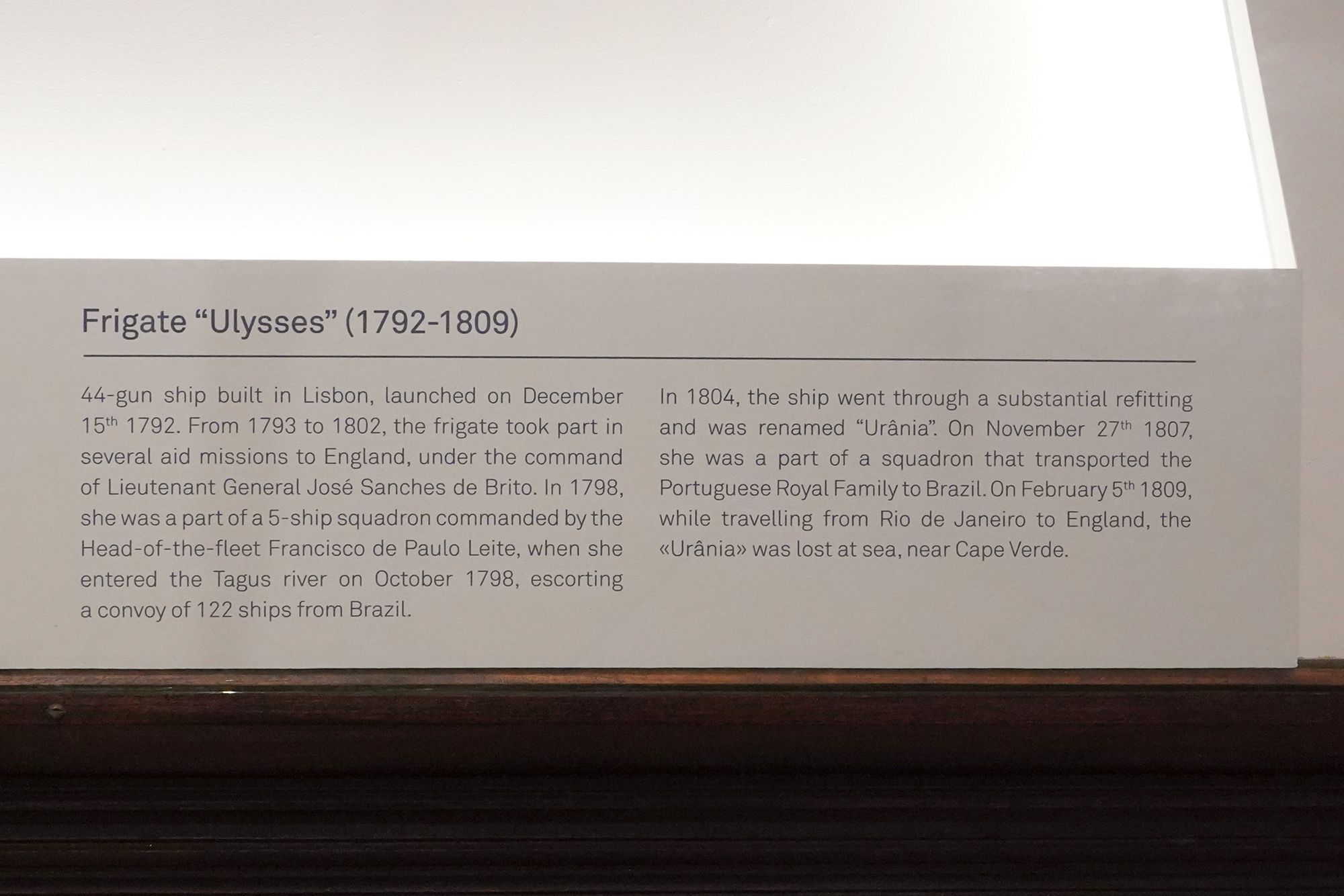
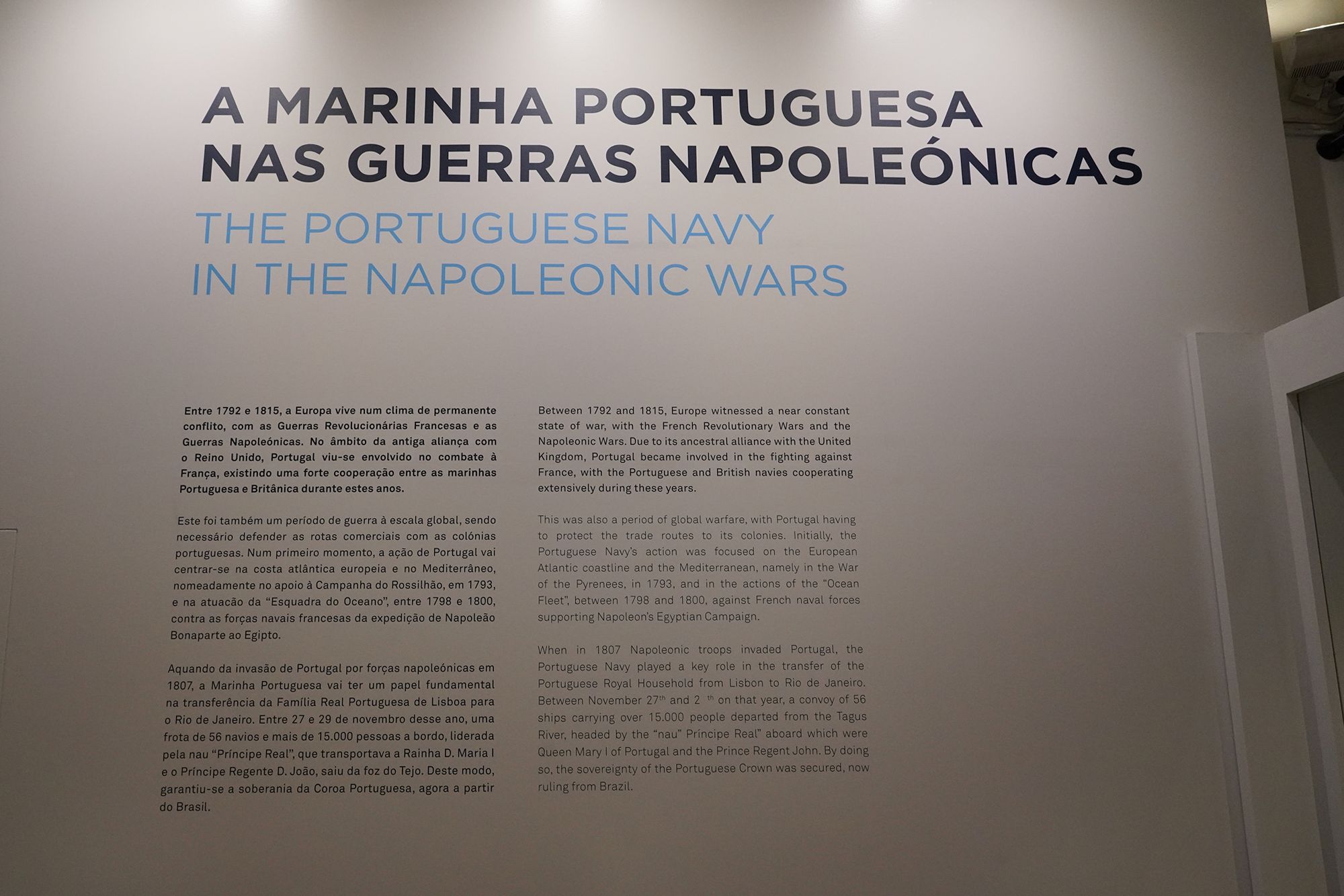
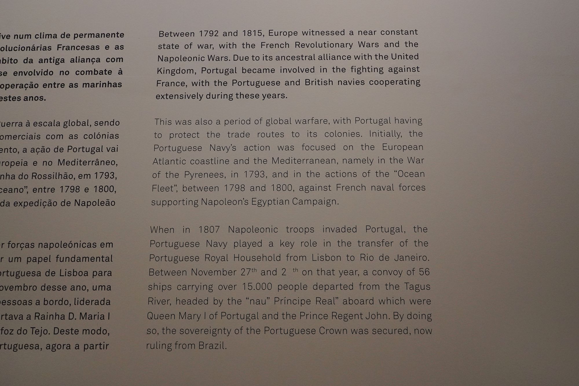
This panel describes the Portuguese Navy during the French Revolutionary and Napoleonic Wars (1792–1815). Allied with Britain, Portugal fought against France, with the two navies cooperating while protecting maritime trade routes.
When Napoleon’s troops invaded Portugal in 1807, the navy helped move the royal household from Lisbon to Rio de Janeiro. According to the display, a convoy of 56 ships carried more than 15,000 people, including Queen Maria I and Prince Regent João aboard the Príncipe Real.
The move allowed the Portuguese monarchy to survive the invasion and govern its empire from Brazil.
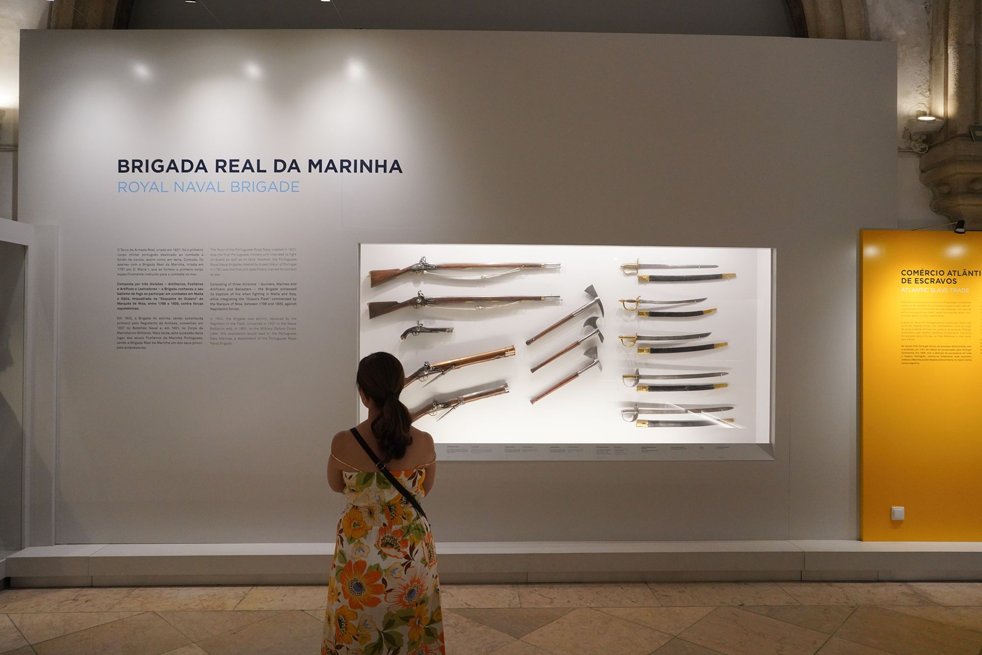
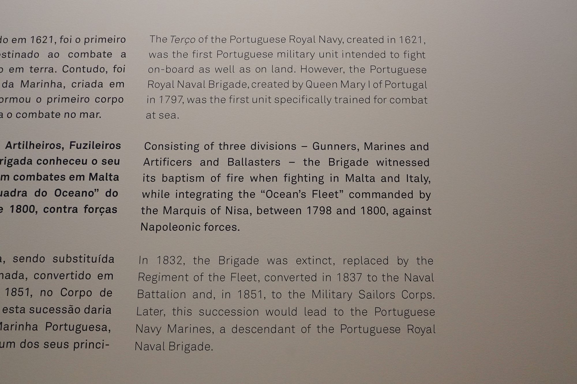
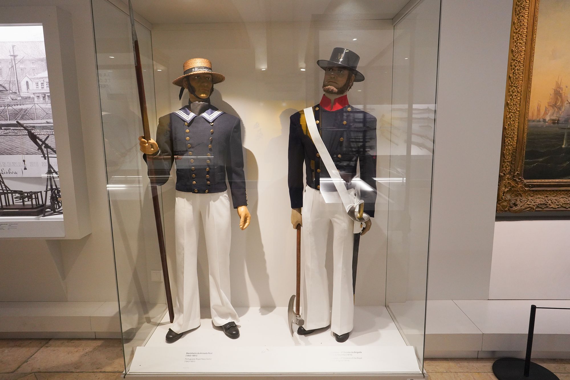
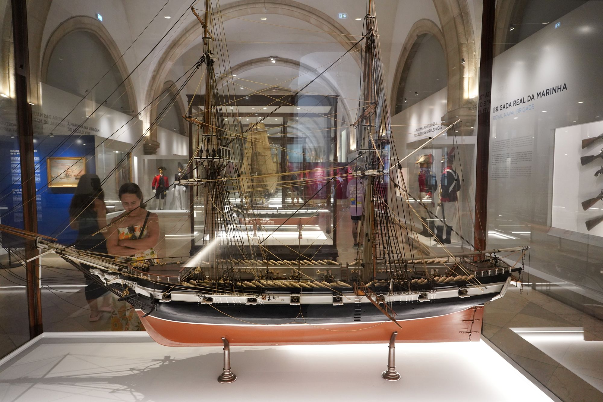
This panel traces the origins of Portugal’s naval infantry and Marines. The Royal Navy’s Terço, created in 1621, was intended to fight both aboard ships and on land. In 1797, Queen Maria I established the Royal Naval Brigade, which the display identifies as Portugal’s first unit specifically trained for combat at sea.
The brigade included gunners, Marines, and craftsmen and ballast workers. It first saw combat in Malta and Italy between 1798 and 1800 against Napoleon’s forces. After its dissolution in 1832, a succession of replacement units eventually led to the Portuguese Navy’s Marines.
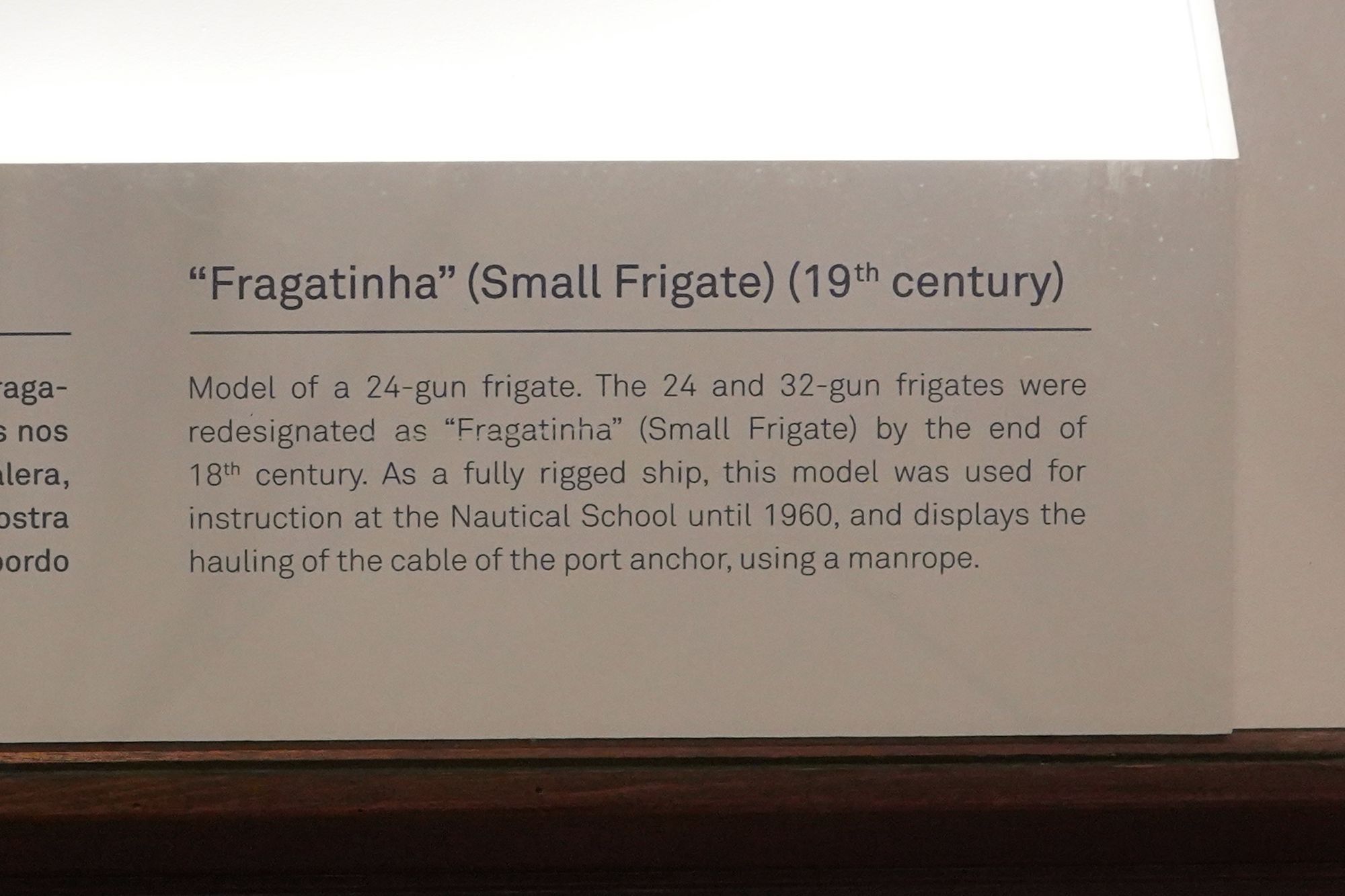
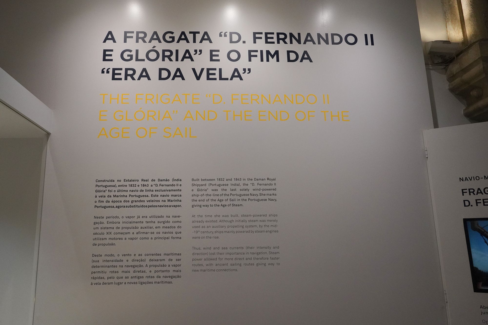
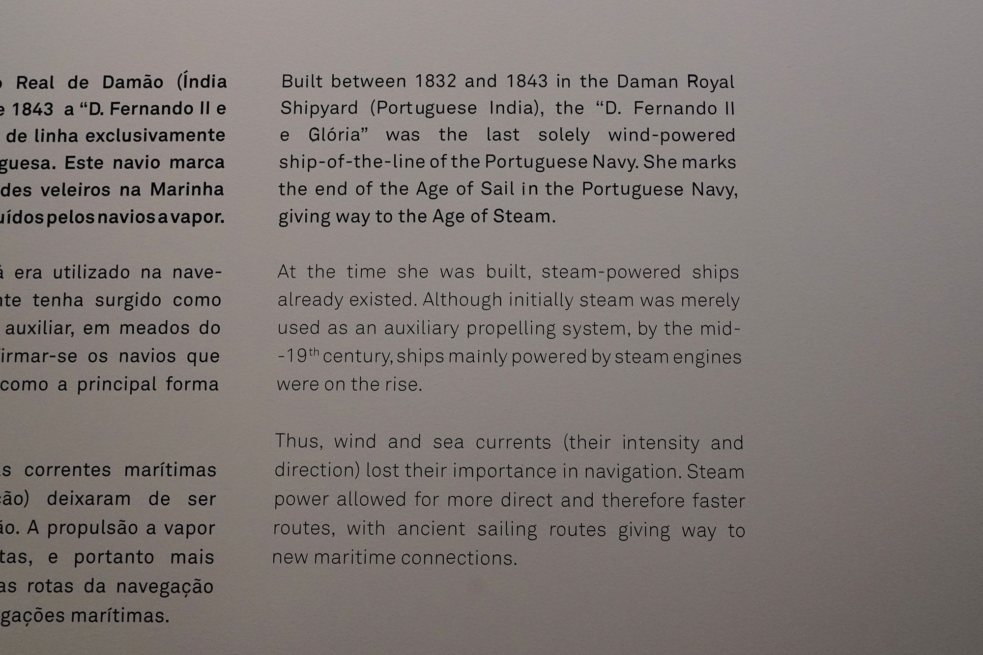
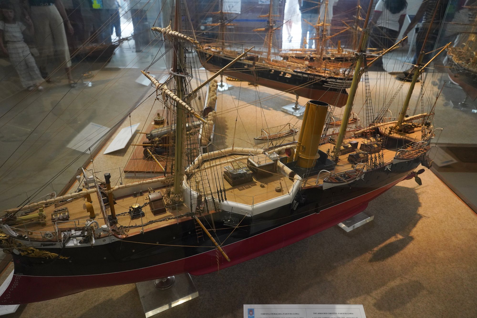
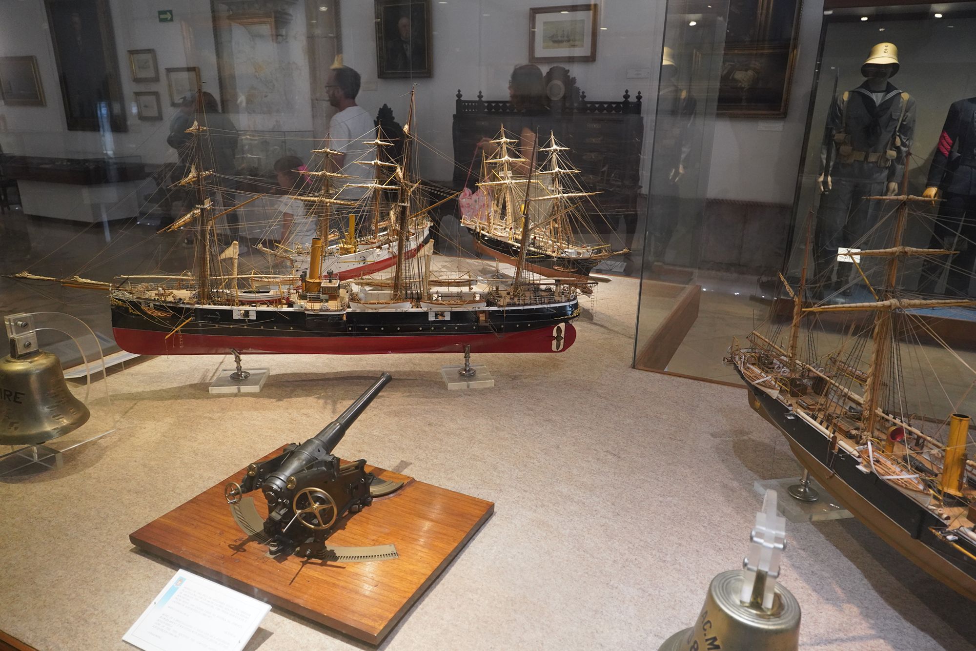
This panel describes the transition from sail to steam in the Portuguese Navy. The D. Fernando II e Glória, built between 1832 and 1843 in Daman, Portuguese India, represents the closing years of the navy’s Age of Sail.
Steam engines initially supplemented sails, but by the middle of the 19th century, ships increasingly relied on steam as their main source of propulsion. With less dependence on favorable winds and currents, vessels could follow more direct routes, making journeys faster and creating new maritime connections.
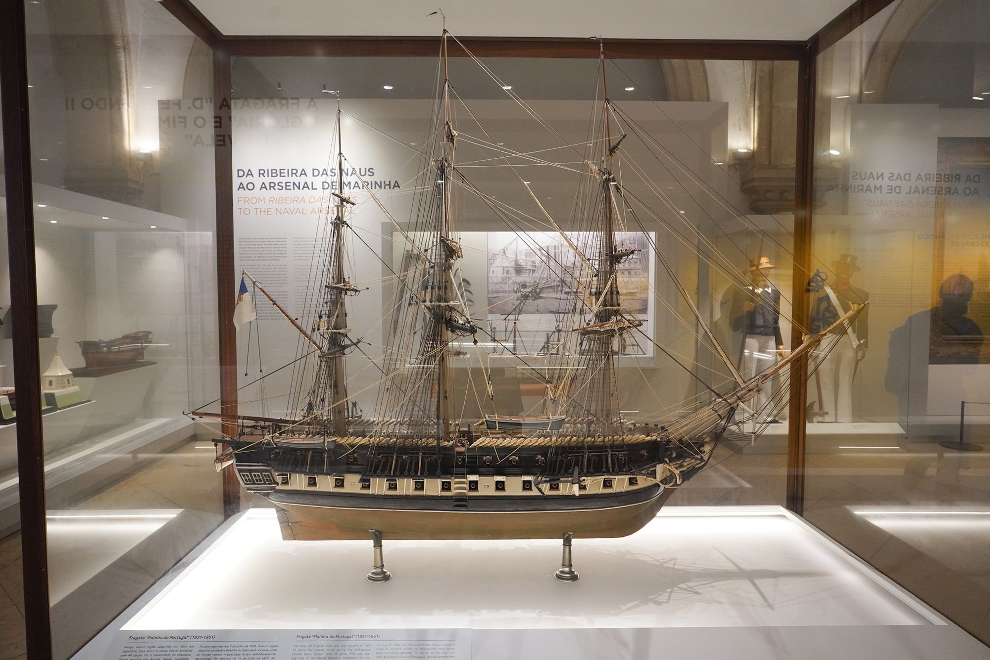
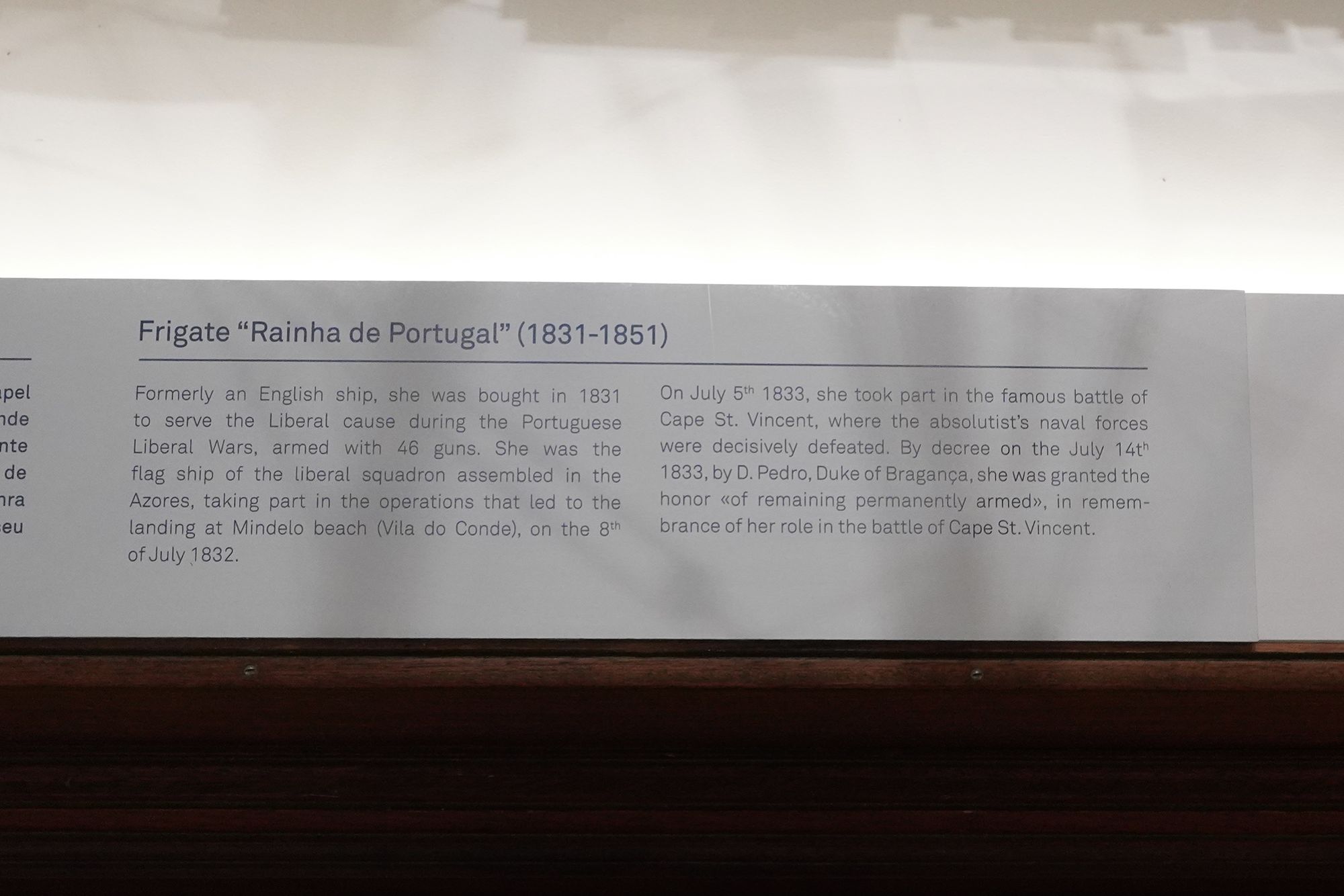
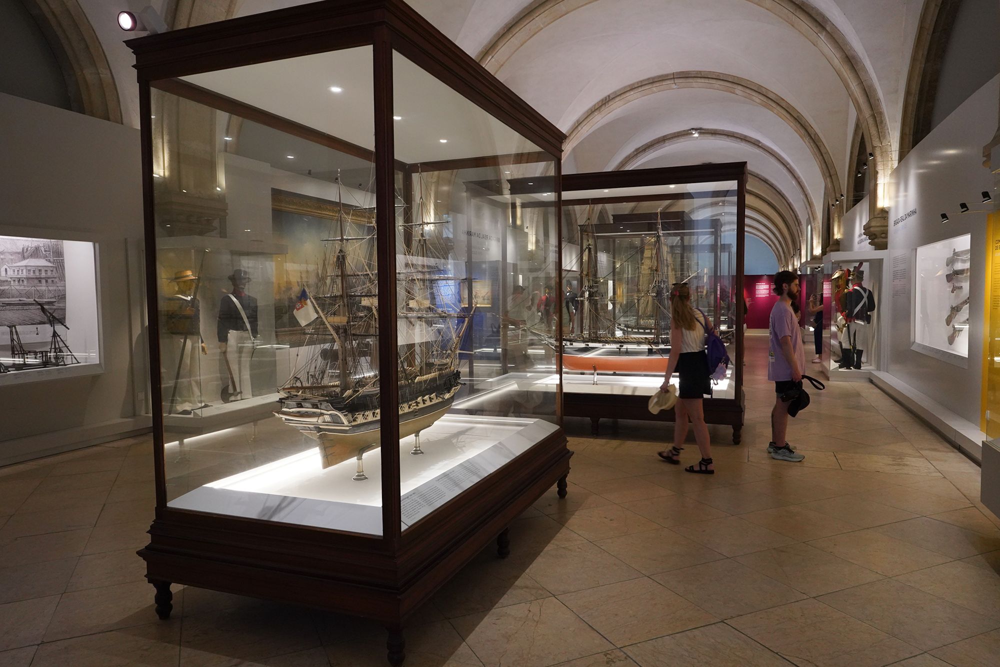
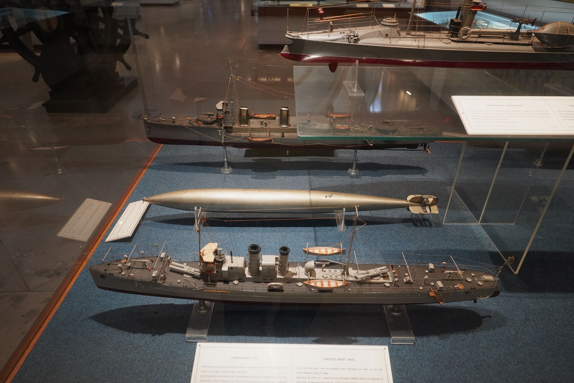
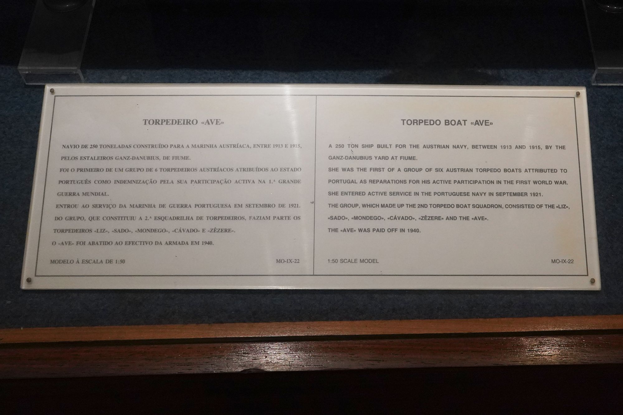
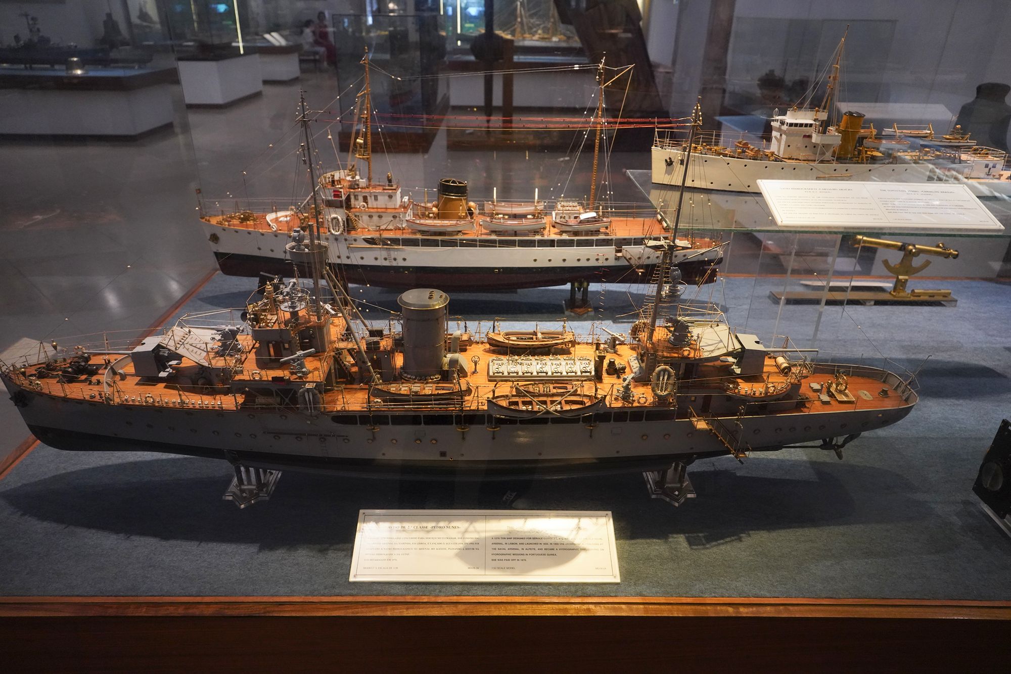
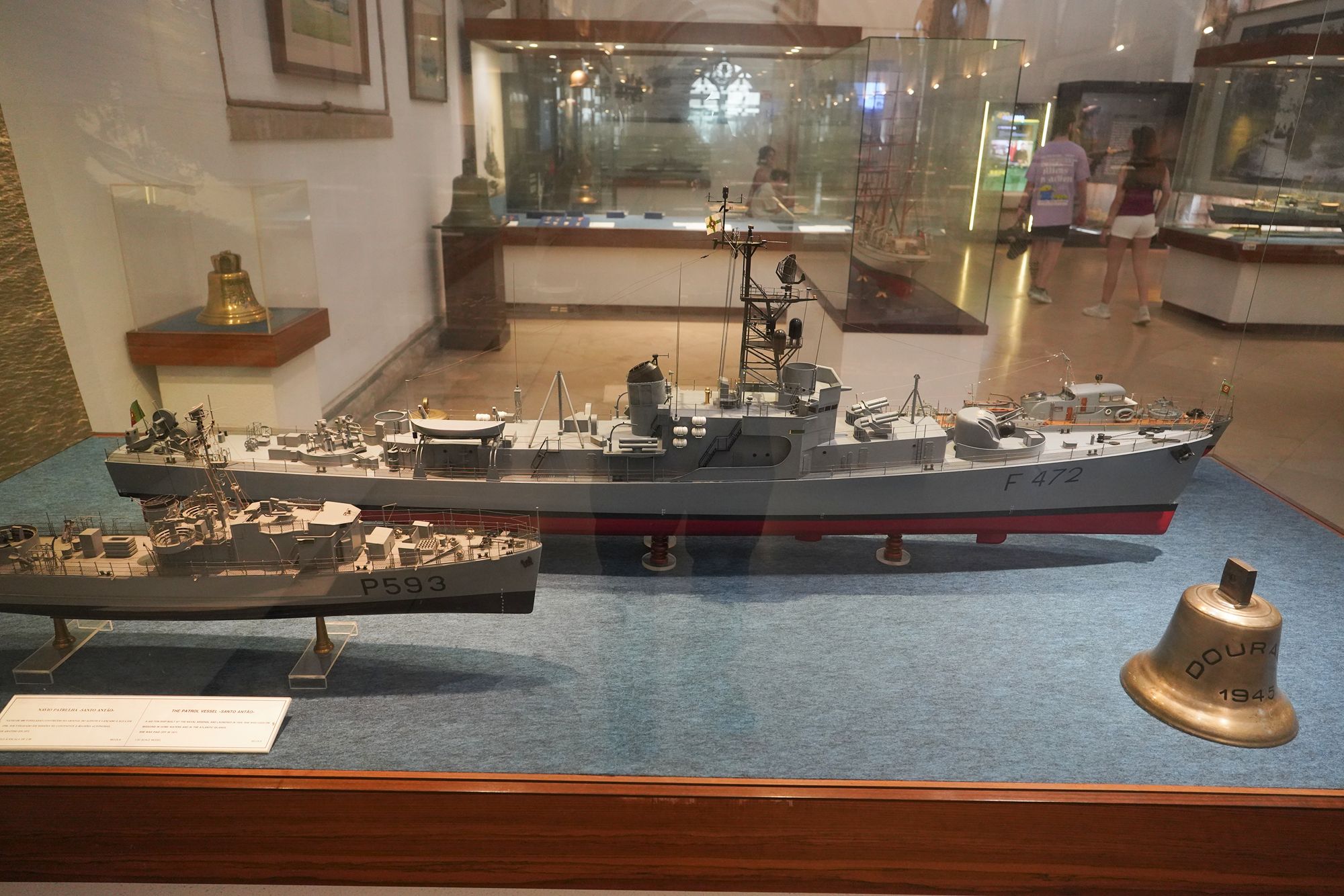
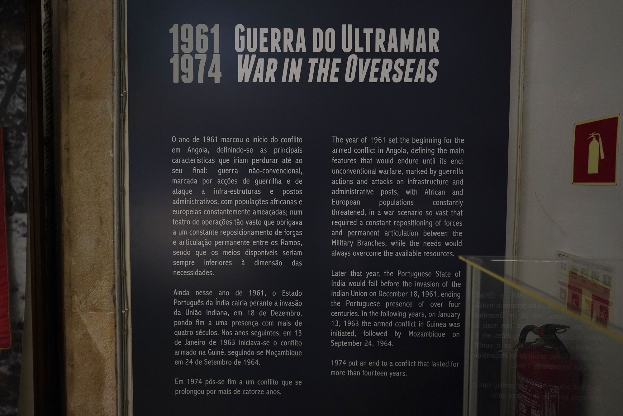
This panel covers Portugal’s Colonial War (1961–1974), called the “Overseas War” in the display. Fighting began in Angola in 1961, followed by Portuguese Guinea in 1963 and Mozambique in 1964.
The panel describes guerrilla warfare across vast areas, requiring frequent movement of troops and close coordination among the military branches, with resources stretched by the demands of the conflict.
It also records India’s takeover of Portuguese India in December 1961, ending more than four centuries of Portuguese rule there. The African conflicts continued until 1974.
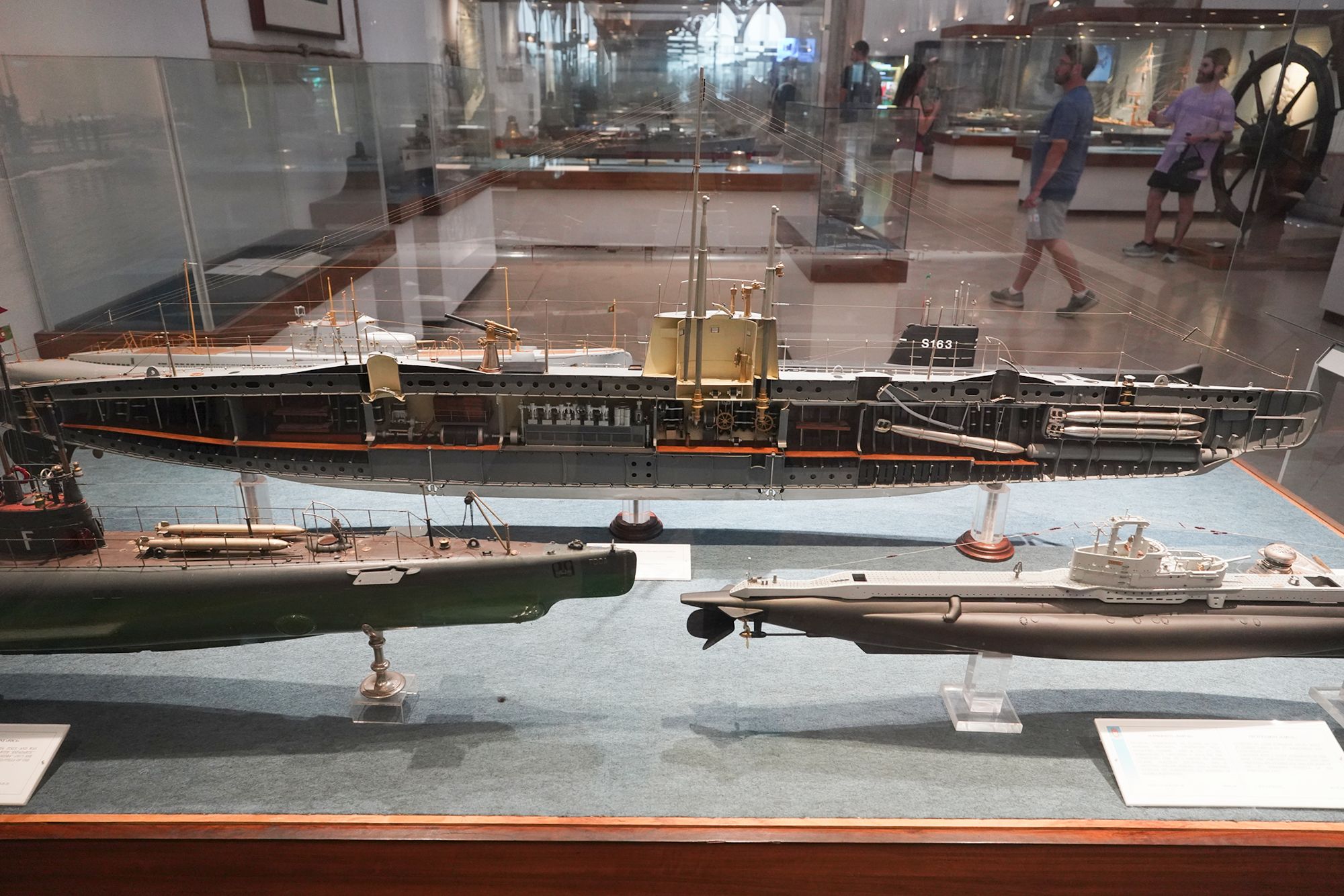
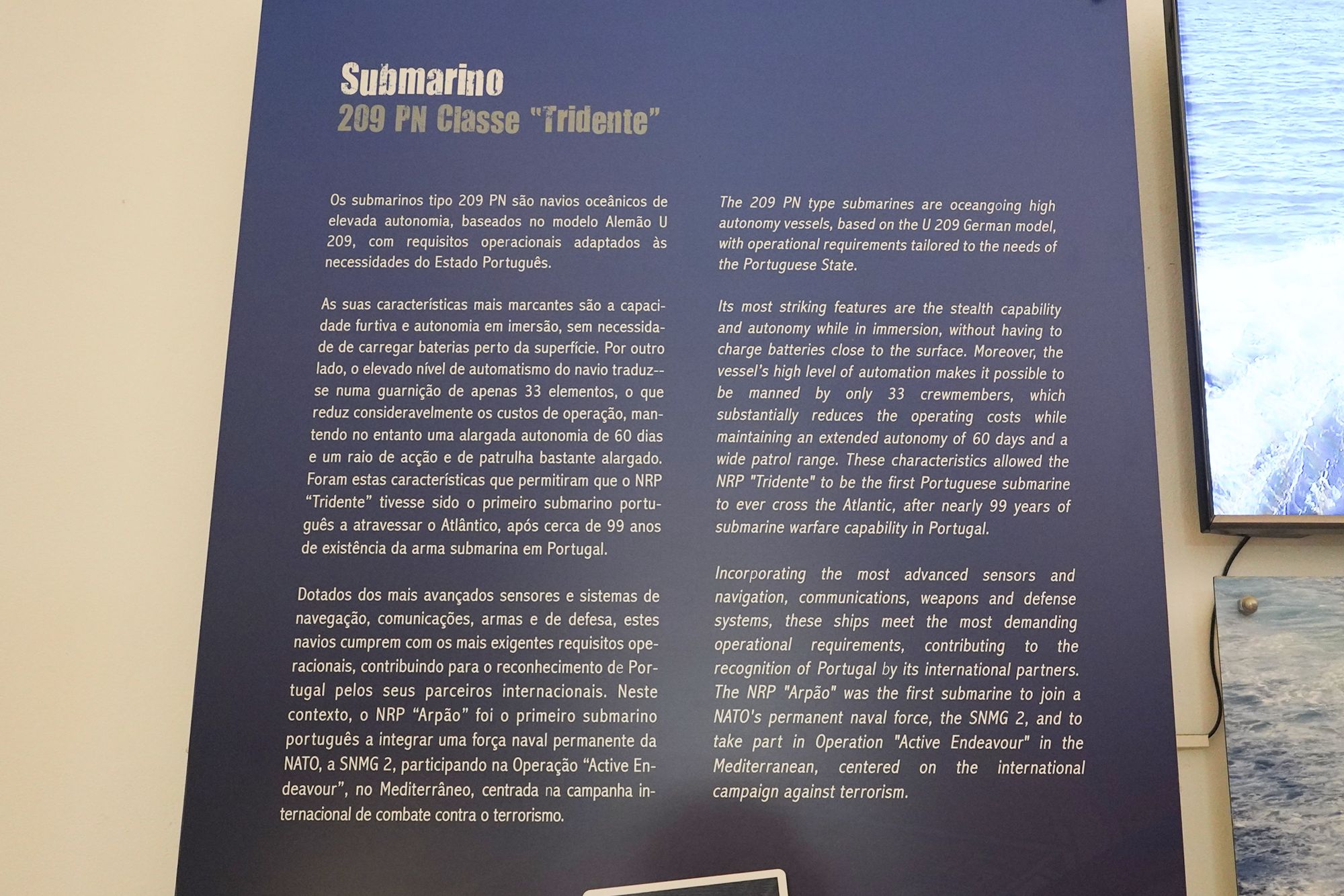
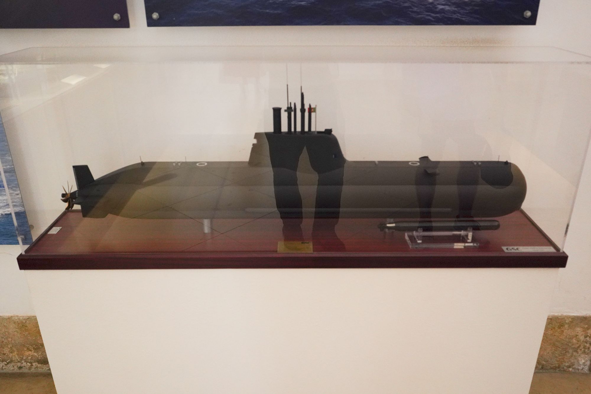
This panel introduces Portugal’s Tridente-class submarines, designated Type 209 PN and adapted from a German design.
The display highlights their stealth and ability to remain submerged for extended periods without approaching the surface to recharge batteries. Extensive automation allows a crew of just 33, while the vessels can undertake missions lasting about 60 days.
It also records two milestones: NRP Tridente became the first Portuguese submarine to cross the Atlantic, and NRP Arpão participated in a permanent NATO naval force and Operation Active Endeavour in the Mediterranean.
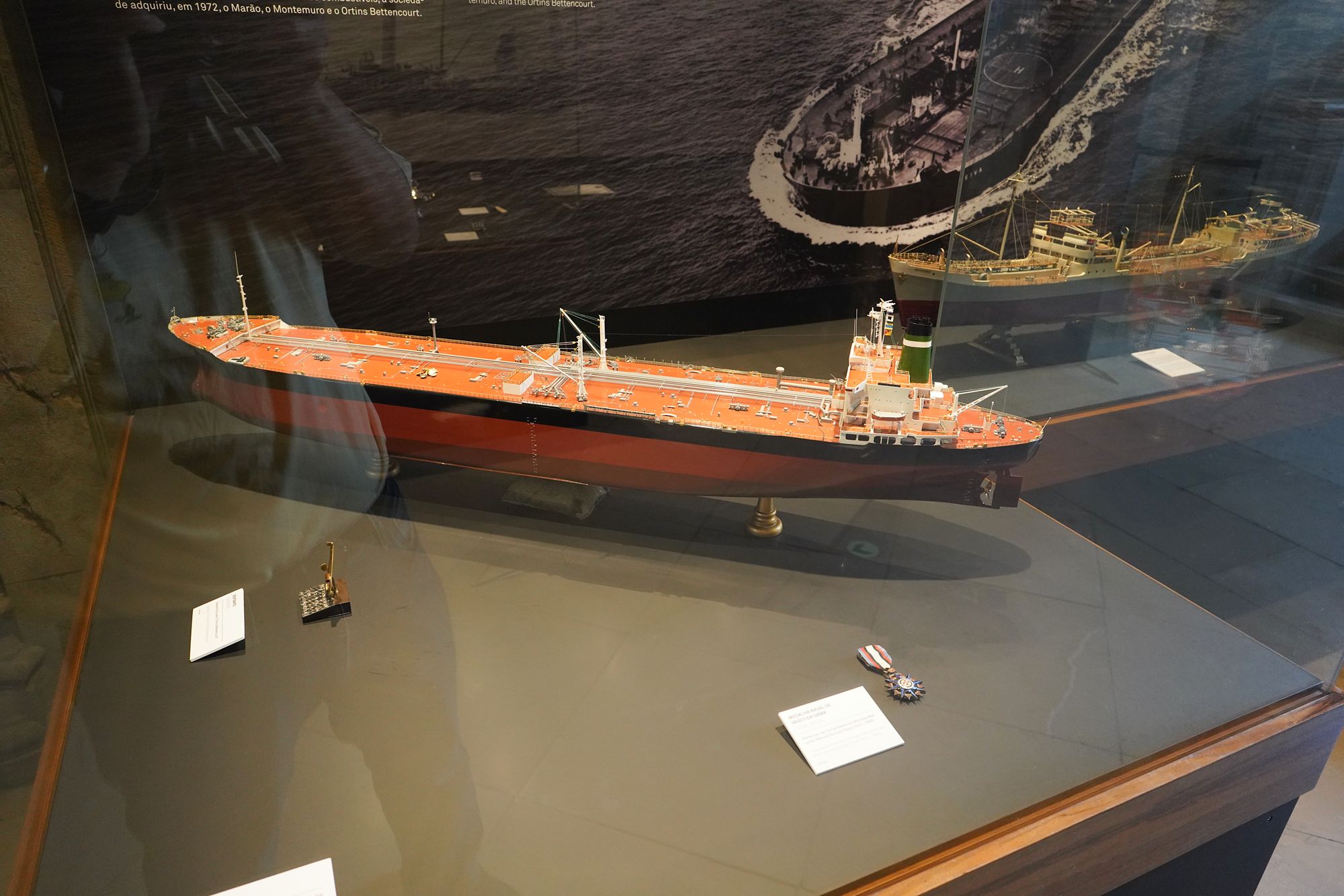
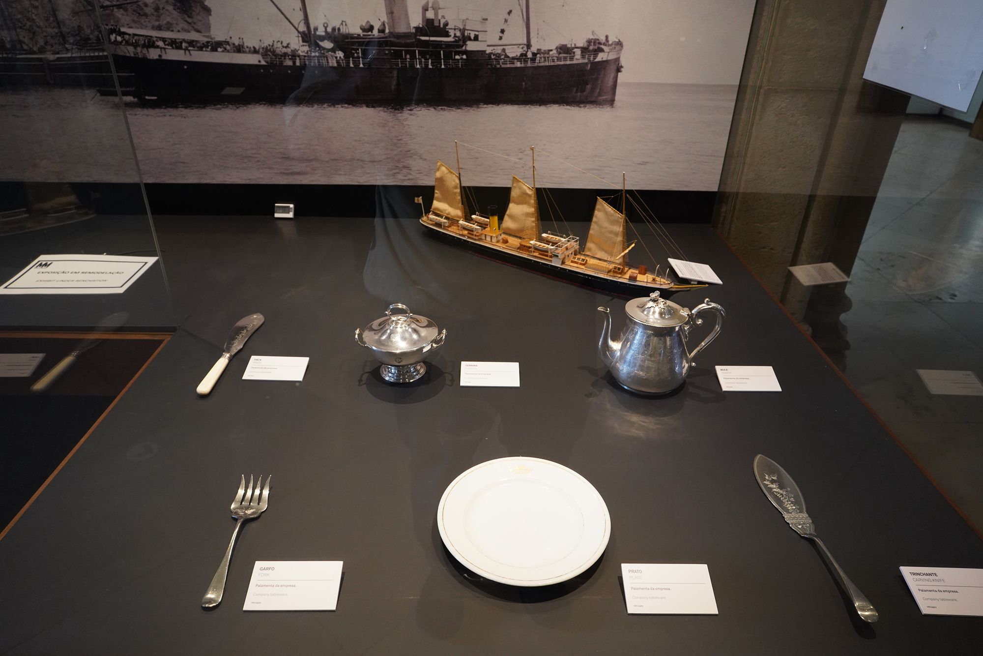
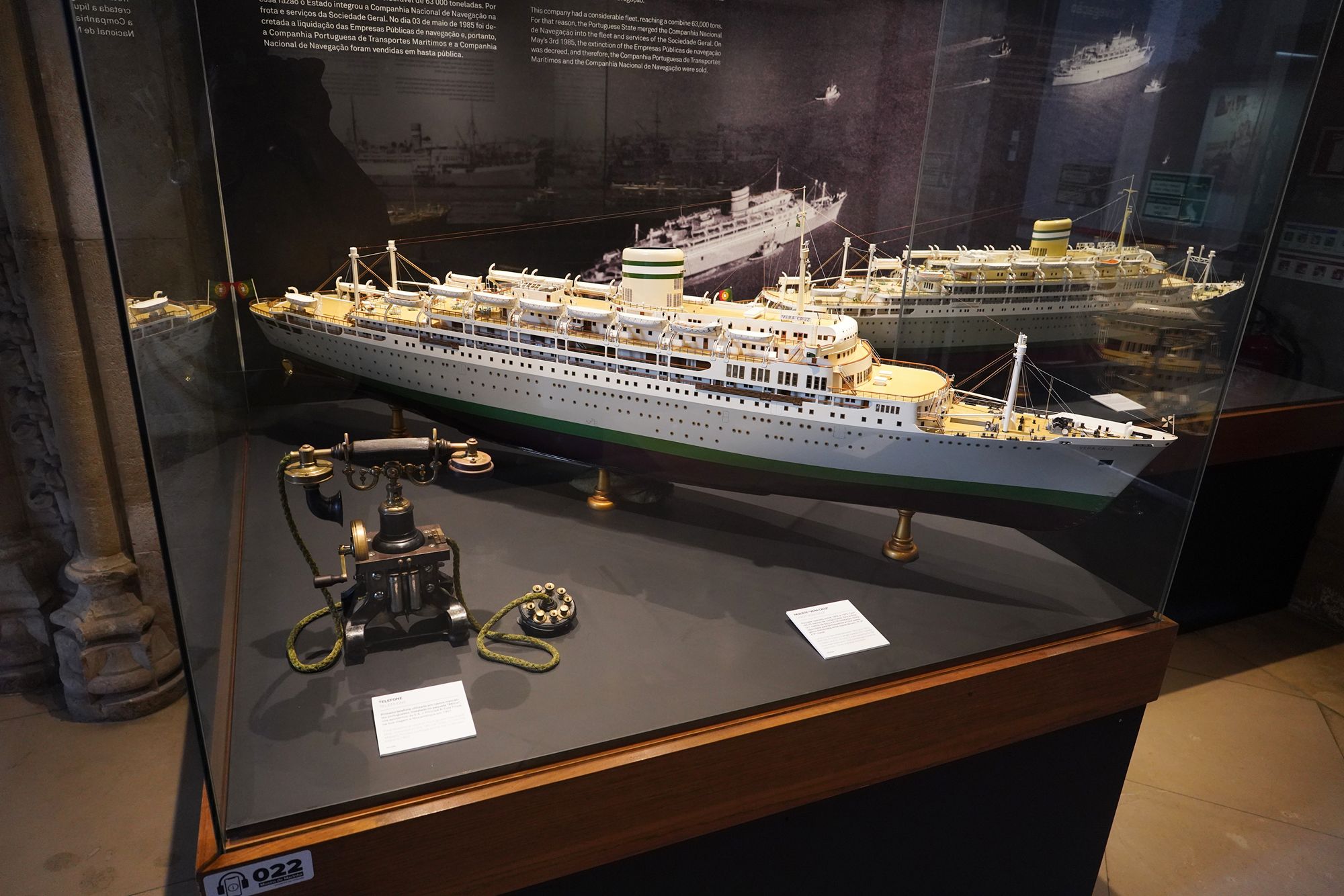
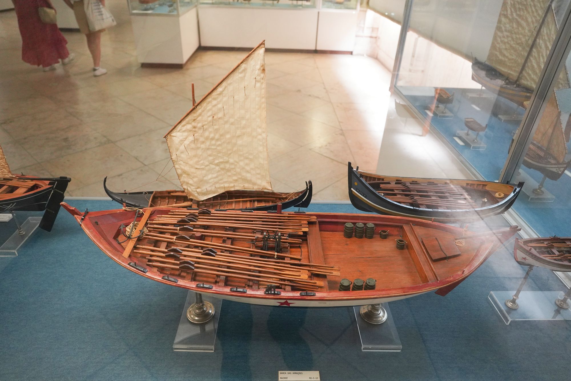
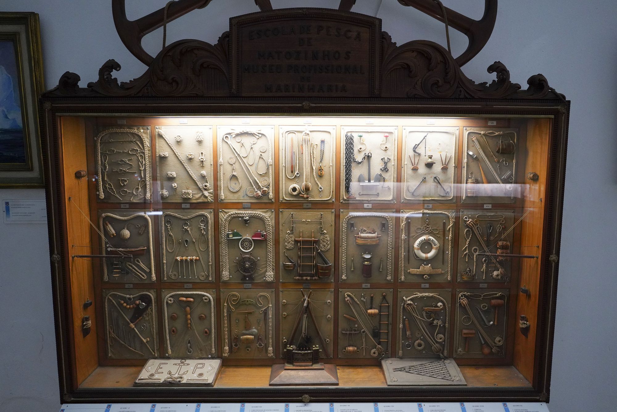
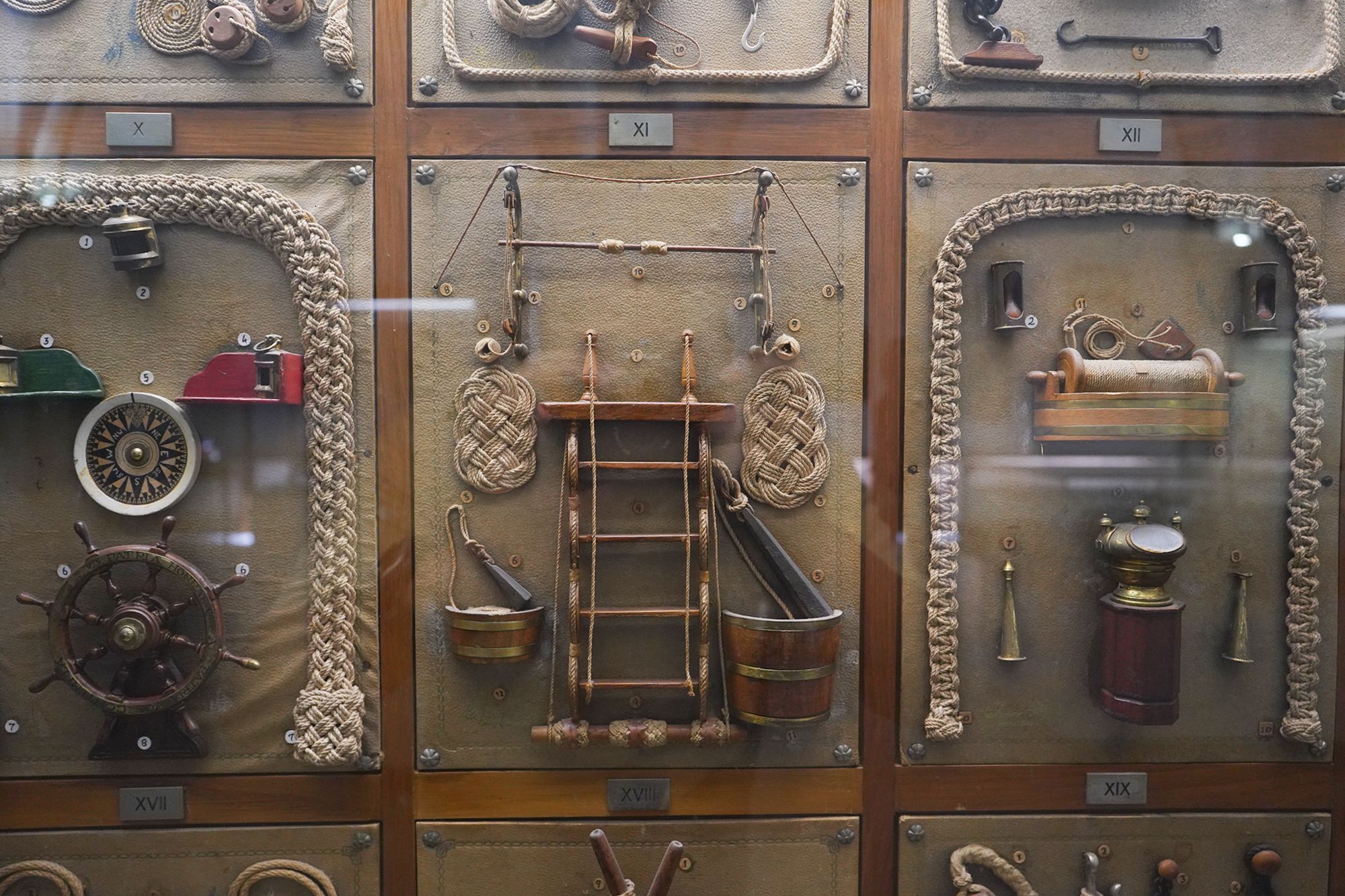
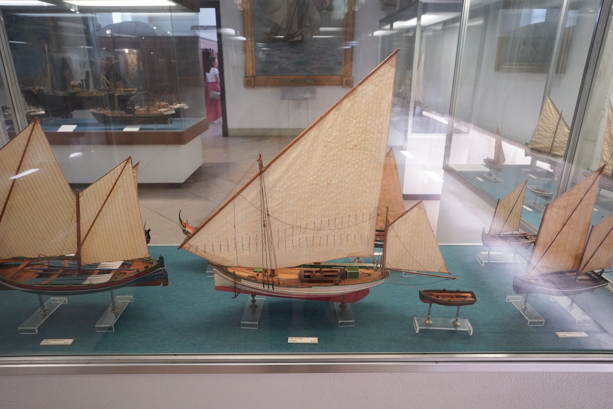
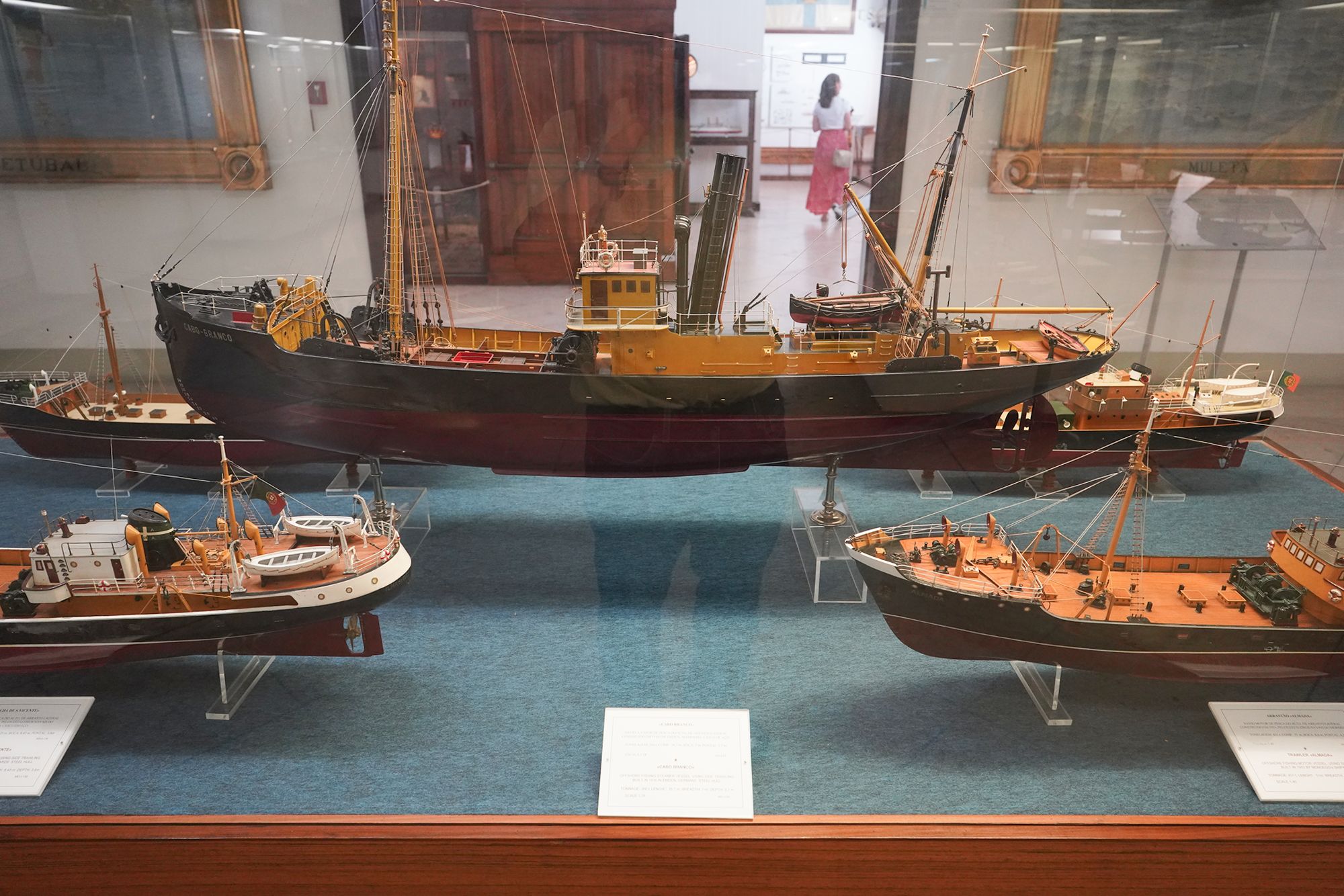
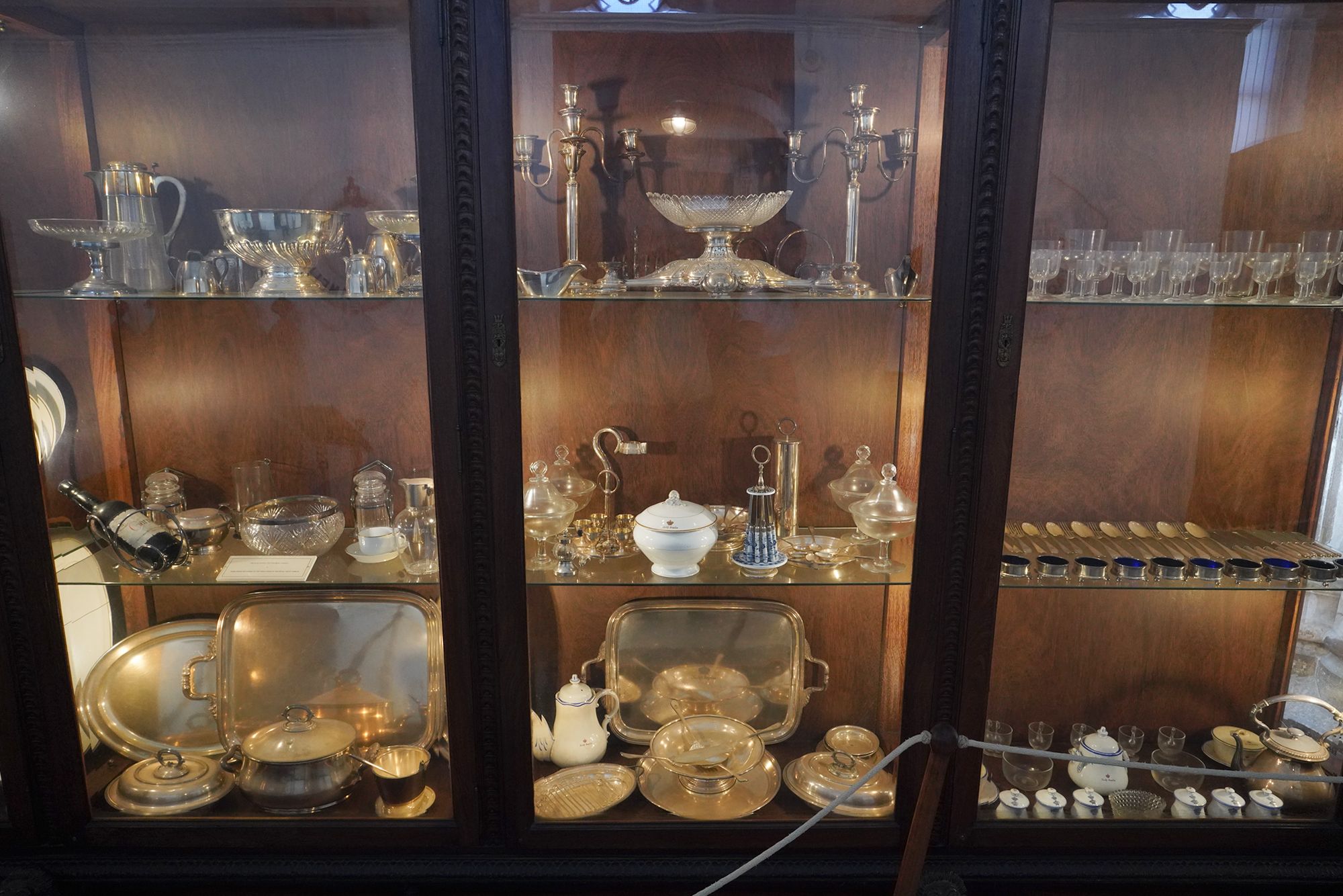
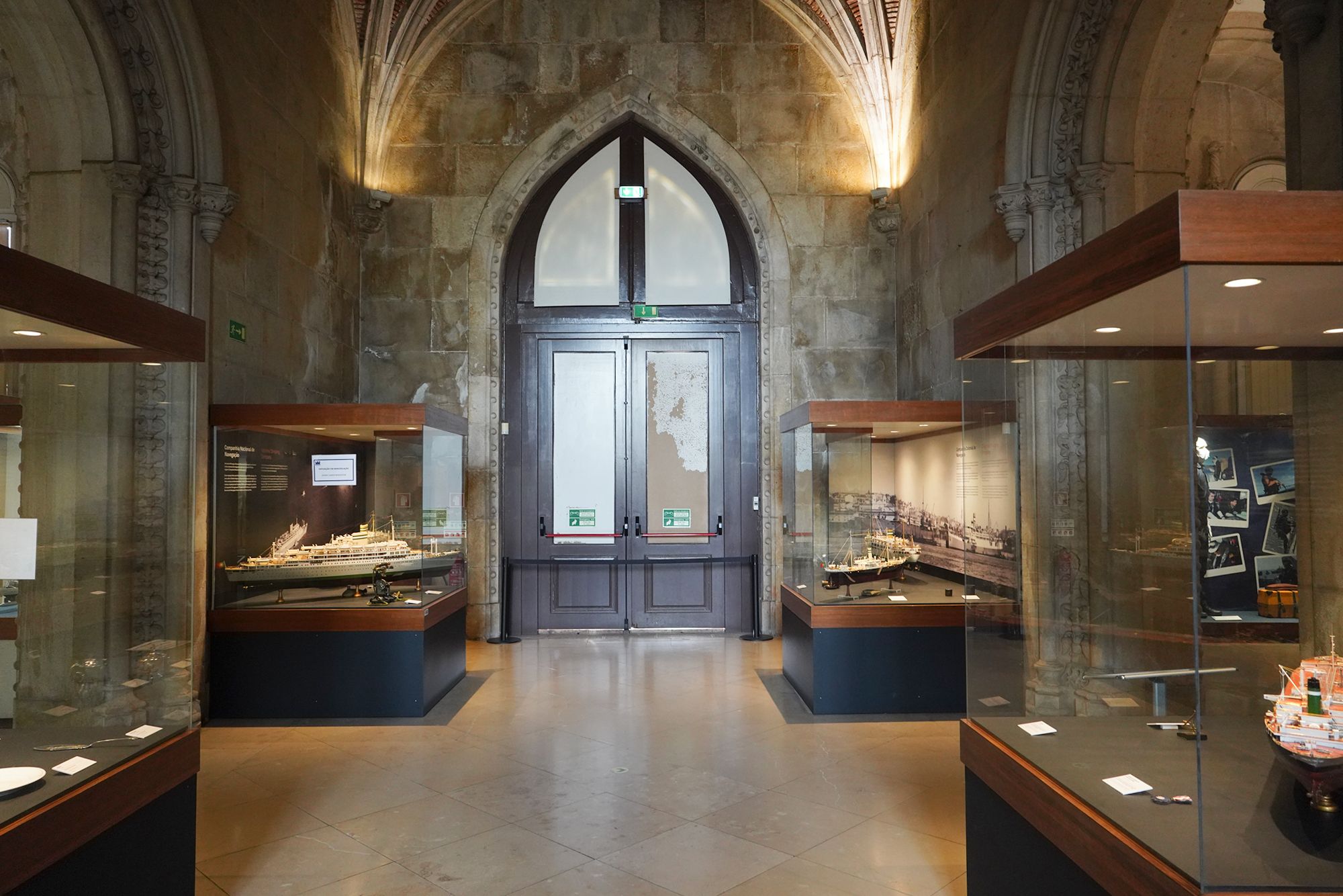
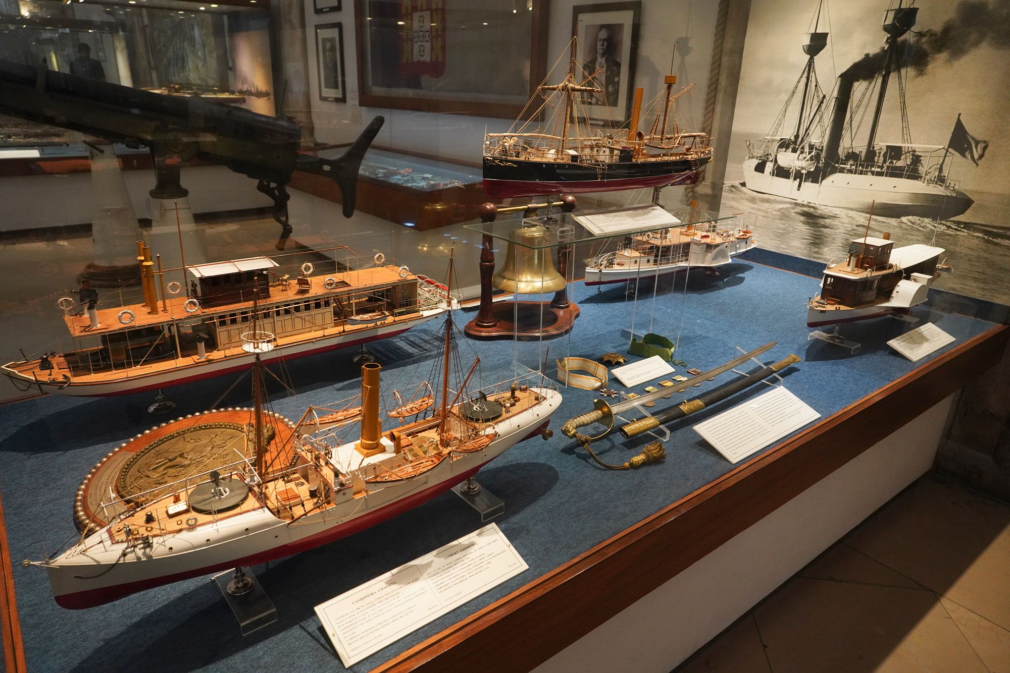
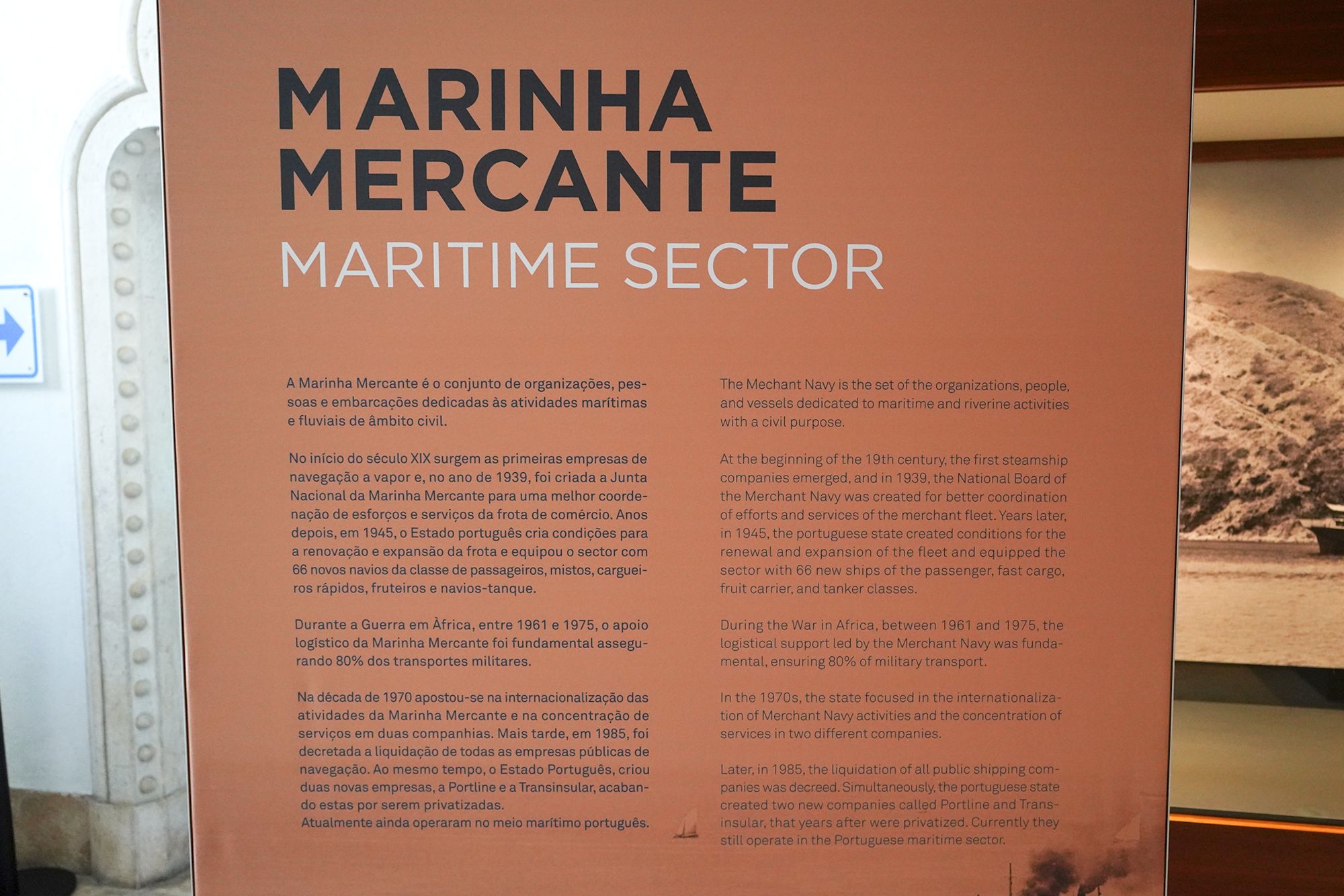
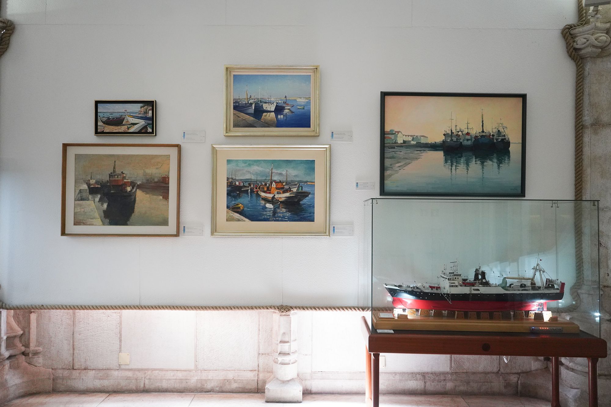
This panel covers Portugal’s merchant marine, the civilian ships, people, and organizations involved in maritime and river transport.
It traces the emergence of steamship companies in the early 19th century and later efforts to modernize the fleet. A program begun in 1945 added 66 ships, including passenger vessels, cargo ships, and tankers.
The display also highlights the merchant fleet’s logistical role during the African wars, when it provided about 80% of military transport. It concludes with the restructuring of state shipping companies and the creation of Portline and Transinsular in 1985, followed by their privatization.
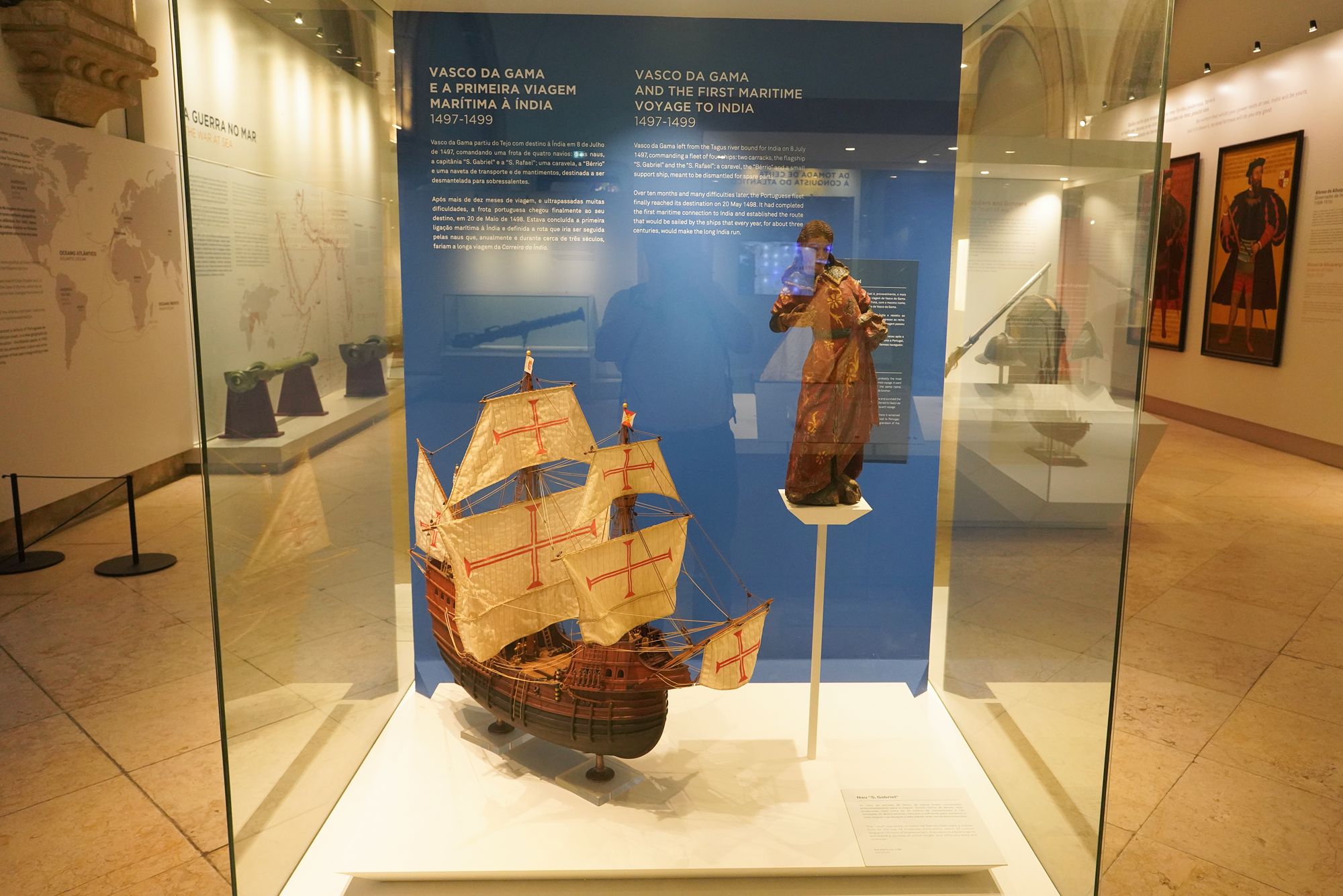
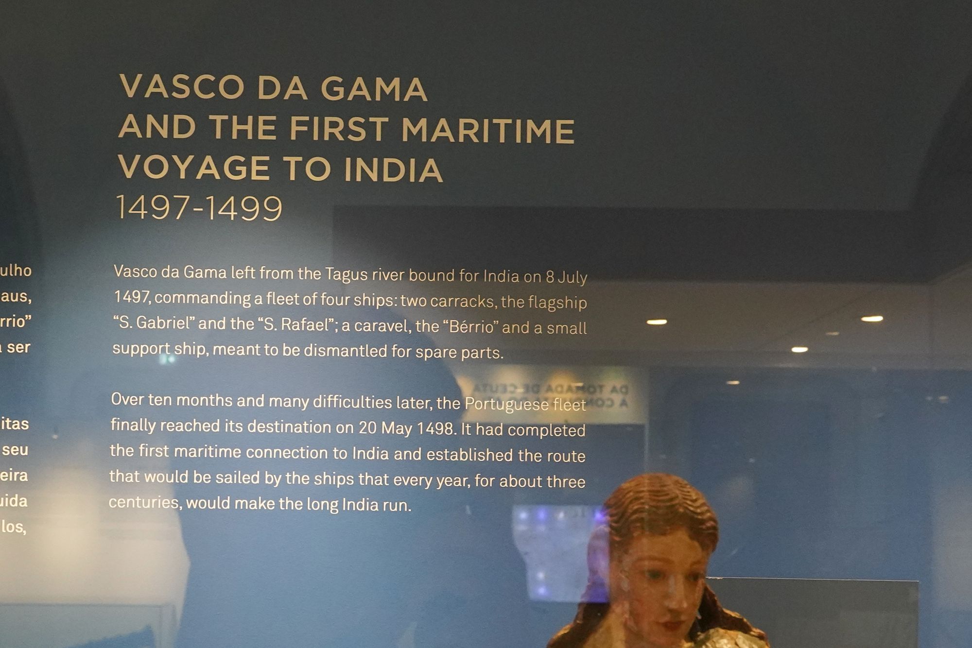
This panel describes Vasco da Gama’s first voyage from Portugal to India (1497–1499). He departed the Tagus River on July 8, 1497, commanding four ships: the carracks São Gabriel and São Rafael, the caravel Bérrio, and a small support vessel intended to provide spare parts.
After more than ten difficult months, the fleet reached India on May 20, 1498. The voyage established a sea route from Portugal around Africa to India, which Portuguese trading fleets would follow for roughly three centuries.
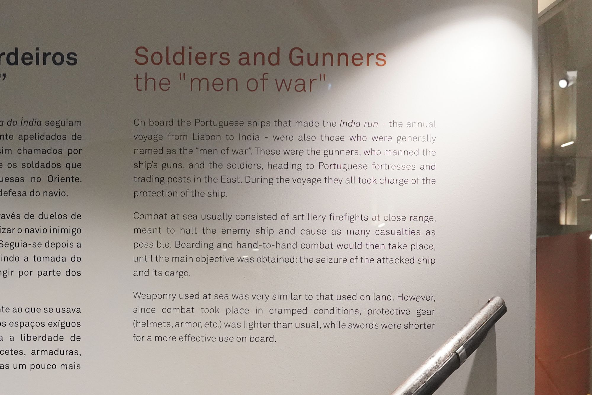
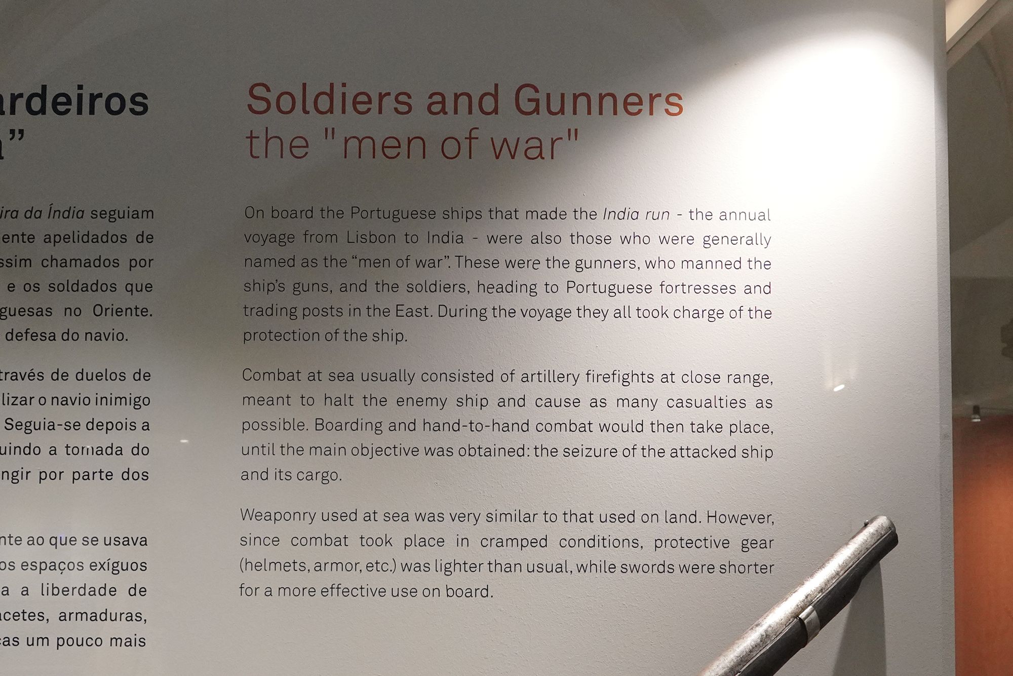
This is the same “Soldiers and Gunners” panel shown earlier. It explains how military men protected Portuguese ships on the India route.
Gunners operated the cannons, while soldiers defended the vessel and later served at overseas fortresses and trading posts. Battles often involved close-range cannon fire followed by boarding to capture the enemy ship and cargo. Shorter swords and lighter armor were better suited to the cramped conditions aboard.