Porto Walk II, Portugal
My Porto walk continued past tiled churches, São Bento station, and historic streets to the Douro waterfront. 1374
Igreja de Santo António dos Congregados: R. de Sá da Bandeira 11, 4000-433 Porto, Portugal
São Bento railway station: Praça de Almeida Garrett, 4000-069 Porto, Portugal
Rua das Flores: R. das Flores 293, 4050-267 Porto, Portugal
Igreja da Misericórdia: R. das Flores 15, 4050-542 Porto, Portugal
Jardim do Infante Dom Henrique: Jardim do Infante Dom Henrique, R. do Infante Dom Henrique, 4050-450 Porto, Portugal
Rua de São João: R. de S. João 25, 4050-296 Porto, Portugal
Rua de Mouzinho da Silveira: R. de Mouzinho da Silveira 126, 4050-265 Porto, Portugal
Date Picture Taken: Jul, 2026
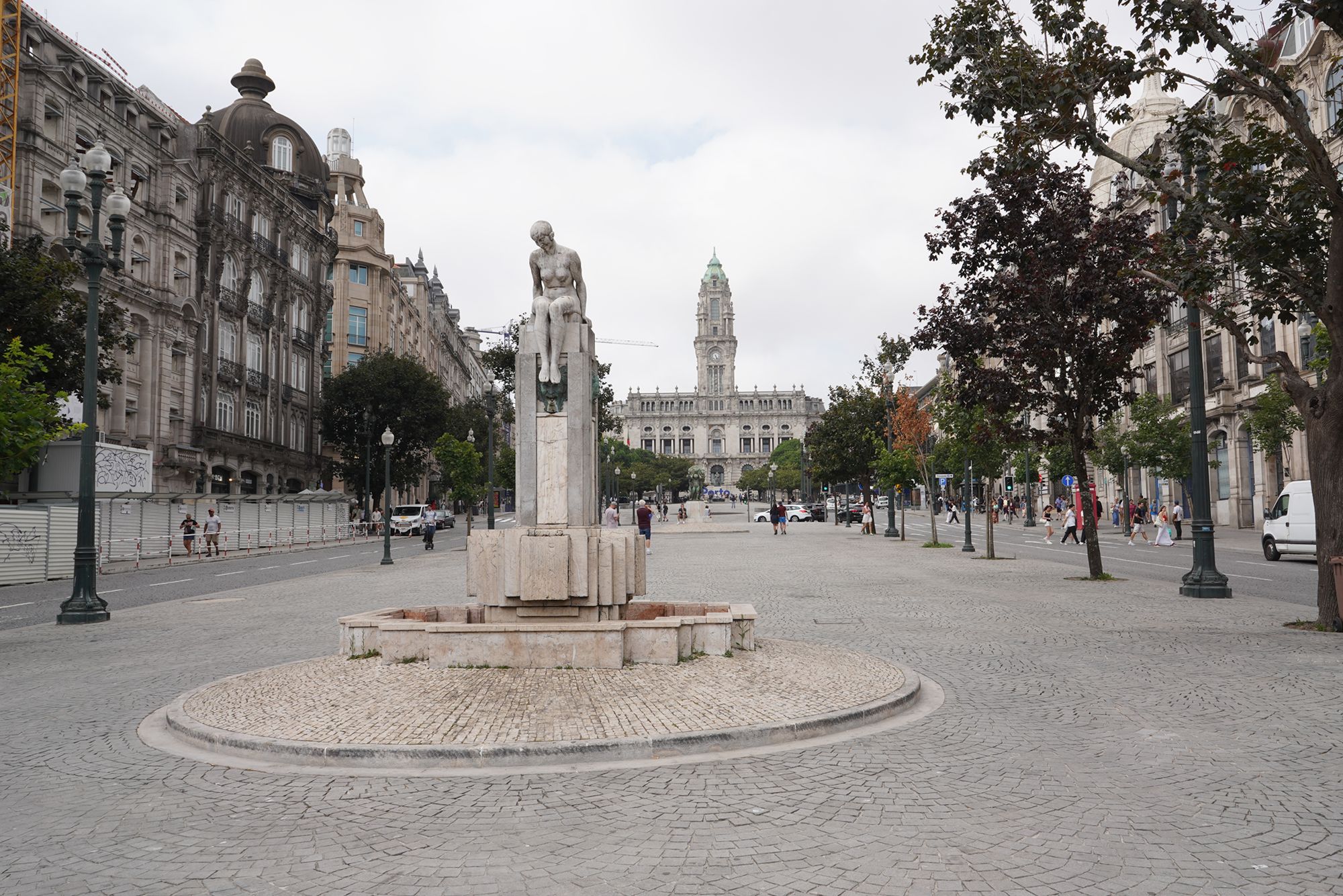
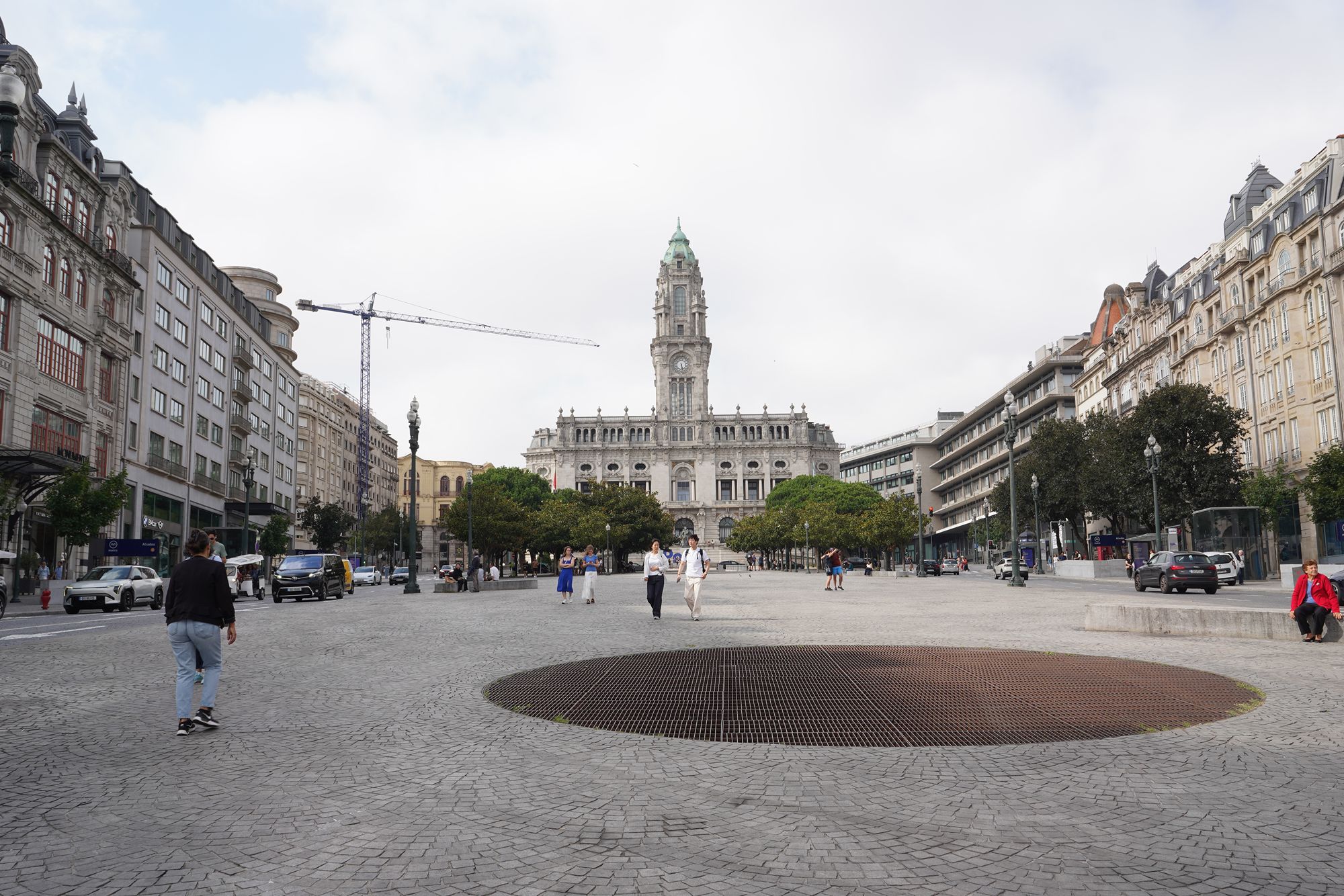
This blog continues from where I left off in Porto Walk Part I, at the other end of Avenida dos Aliados.

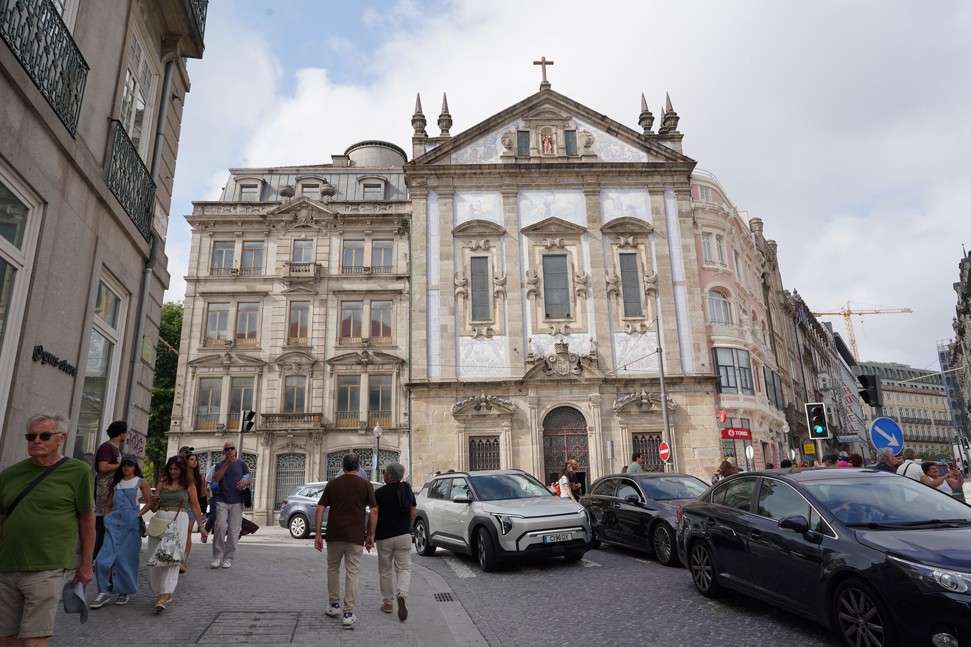
Igreja de Santo António dos Congregados stands near São Bento railway station. Completed in 1703, the church is dedicated to Saint Anthony. Its blue-and-white tile panels depict scenes from his life, while a statue of the saint sits in a niche above the entrance.


The entrance hall of São Bento railway station is decorated with thousands of painted ceramic tiles, known as azulejos, by Jorge Colaço. The large blue-and-white panels depict events from Portuguese history and scenes of rural life, while the colorful frieze near the ceiling illustrates the development of transportation.


I paused my walk and decided to look inside the entrance hall of São Bento railway station.


Inside the station, the blue-and-white tiles form large murals showing scenes from Portuguese history. These include the Battle of Valdevez, the arrival of King João I and Philippa of Lancaster in Porto in 1387, and the conquest of Ceuta in 1415. Other panels show rural life, including farming, grape harvesting, and traditional gatherings. Created by Jorge Colaço, the murals turn the entrance hall into a visual story of Portugal’s history and everyday life.


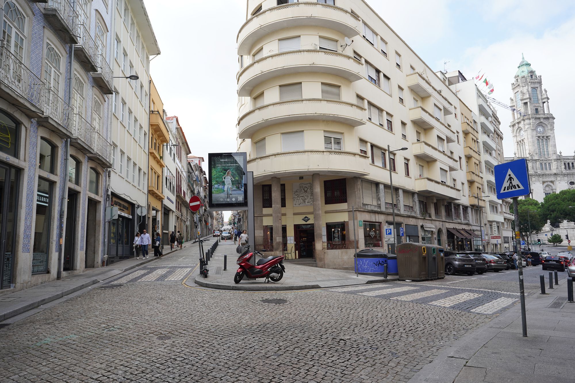
I was ready to continue my city walk. Ahead of me was Rua das Flores, the street I would follow next.


An opening between the buildings on my left.

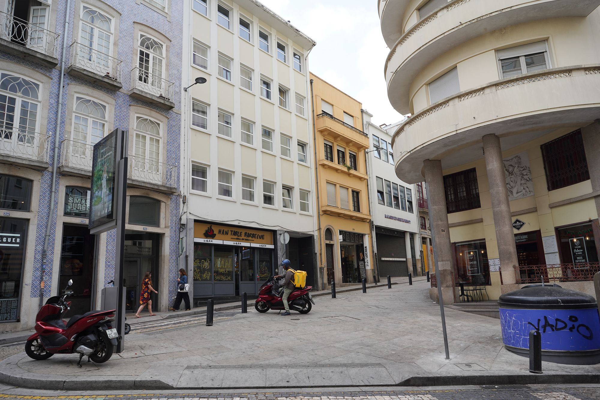
An uphill side street on my right.


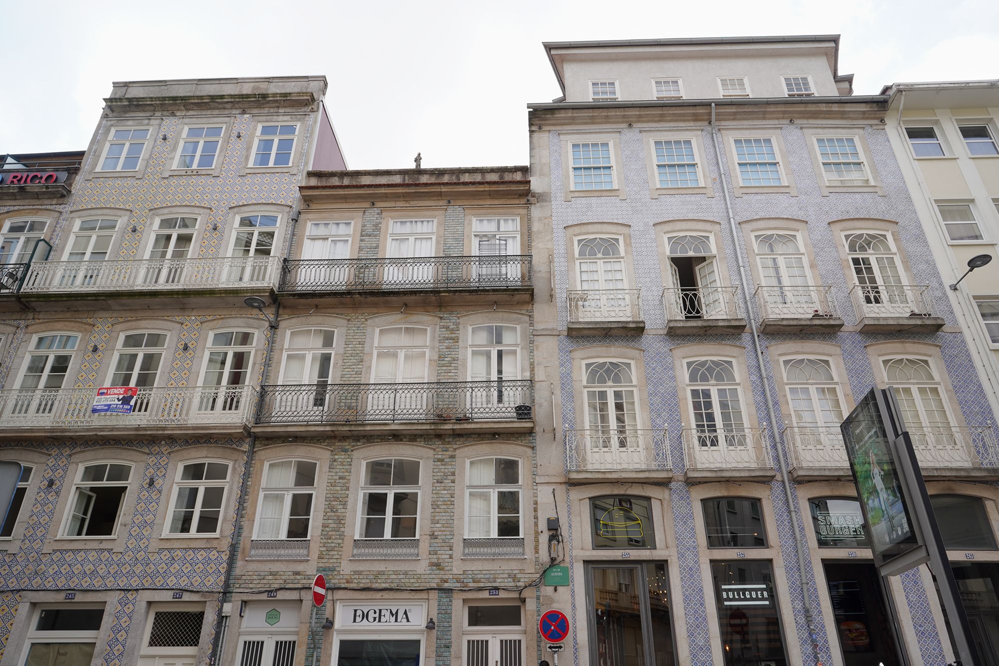
I continued along Rua das Flores.


A narrow side street on my right


Igreja da Misericórdia stands along Rua das Flores. Its origins date to the 16th century, but its ornate Baroque façade was designed in the 18th century by Nicolau Nasoni, the architect behind Clérigos Church and Tower. The carved stonework makes it a distinctive landmark among the street’s buildings.


A view behind me


Several views looking back along the street.


Looking ahead again.


Jardim do Infante Dom Henrique is a small garden beside the Palácio da Bolsa and Mercado Ferreira Borges. At its center stands a monument to Prince Henry the Navigator, an important supporter of Portugal’s early maritime exploration. Inaugurated in 1900, the monument rises above the lawns on a tall stone pedestal.

Prince Henry the Navigator (1394–1460) was a Portuguese royal prince born in Porto. He supported voyages along the west coast of Africa, helping lay the foundations for Portugal’s Age of Discovery. Despite his nickname, he was mainly an organizer and sponsor rather than an explorer who sailed on these expeditions.

His ambitions combined trade, the spread of Christianity, and the expansion of Portuguese power. The voyages he supported also contributed to the beginnings of Portugal’s maritime trade in enslaved Africans.

The buildings surrounding the garden.


I continued my walk toward the waterfront.

A wide opening between the buildings led toward the waterfront.

From where I was staying, the walk to the waterfront was downhill.


Views looking back along the street.


At the waterfront, looking toward the Luís I Bridge.

The buildings lining the waterfront.


The waterfront path ended in the other direction.


Toward the Luís I Bridge, people gathered along the waterfront, enjoying themselves.


A wide street led into the city.

I walked past the wide street and continued toward the bridge.


Then I returned to the wide street, Rua de São João, and began walking back to where I was staying.


A view behind me

Looking ahead again, the street climbed uphill.


I turned left onto Rua de Mouzinho da Silveira.


The train station came into view.


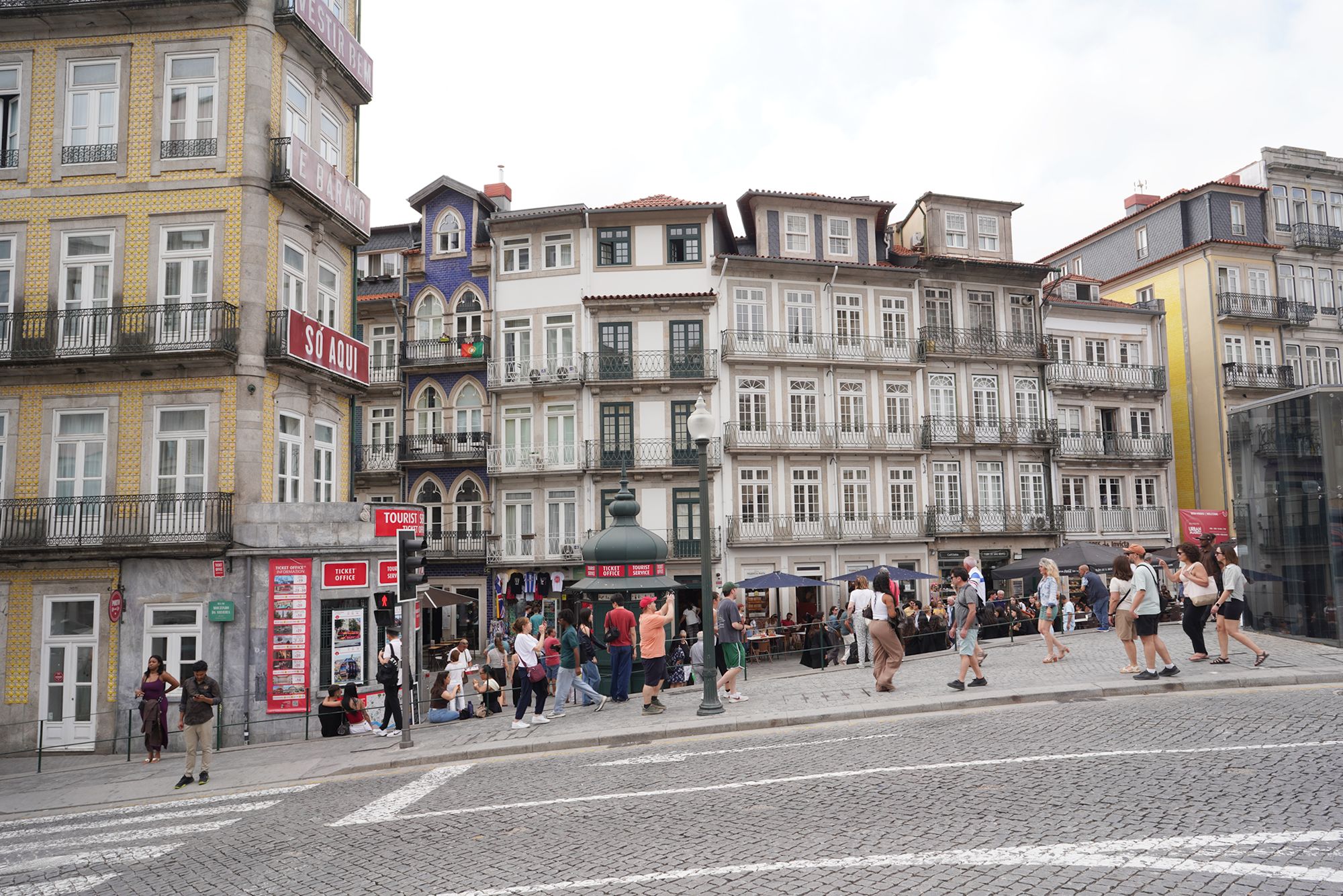
I was back where I started on Rua das Flores.
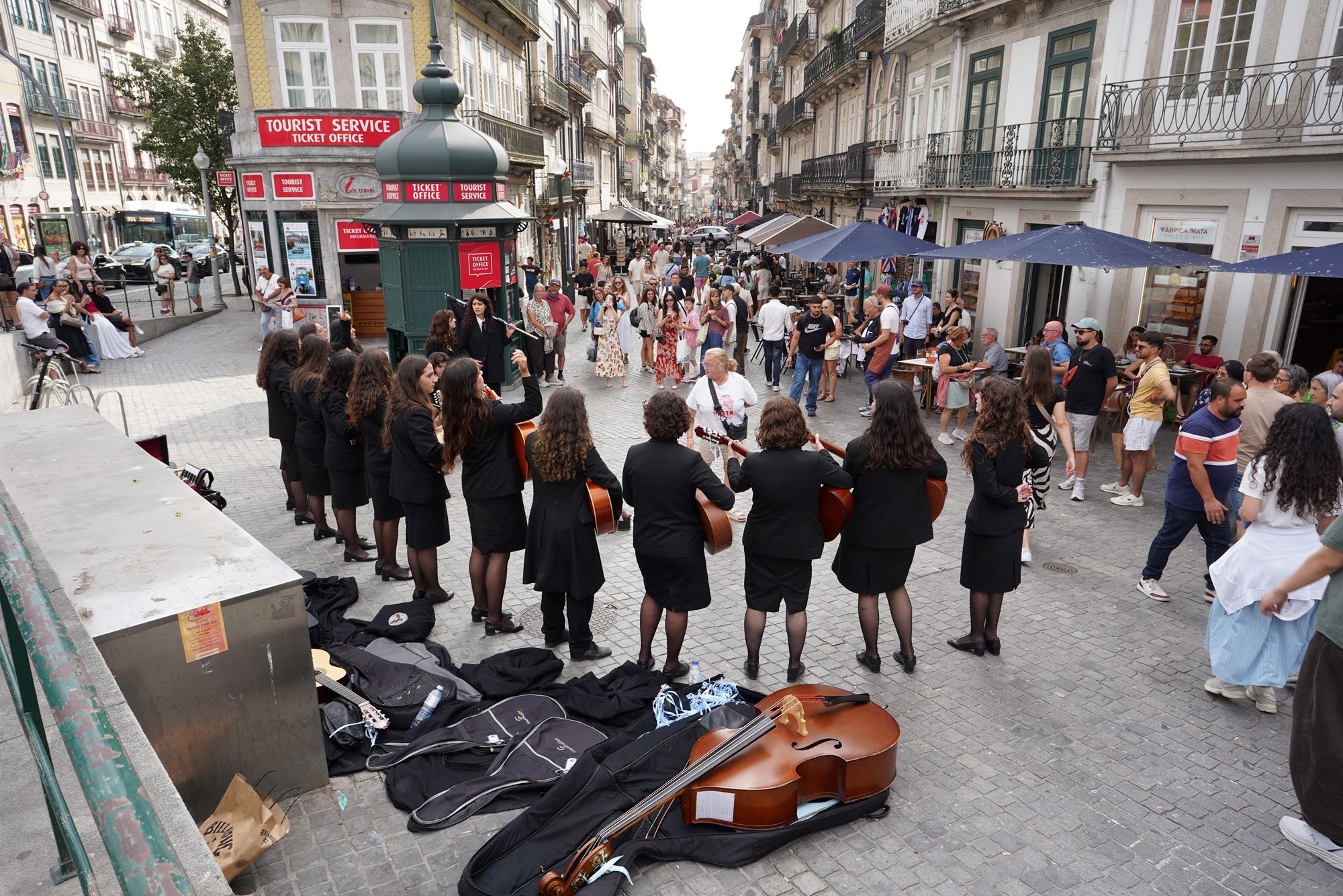
Again to Igreja de Santo António dos Congregados
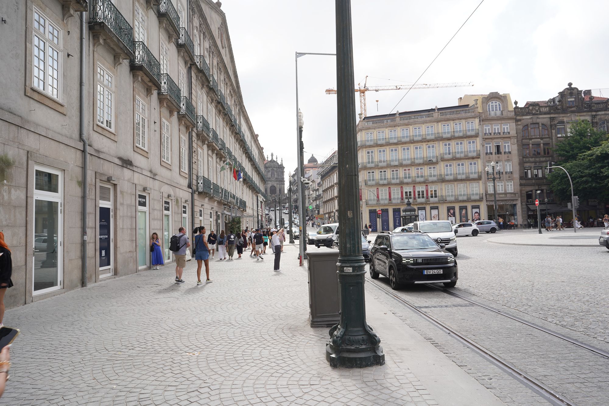
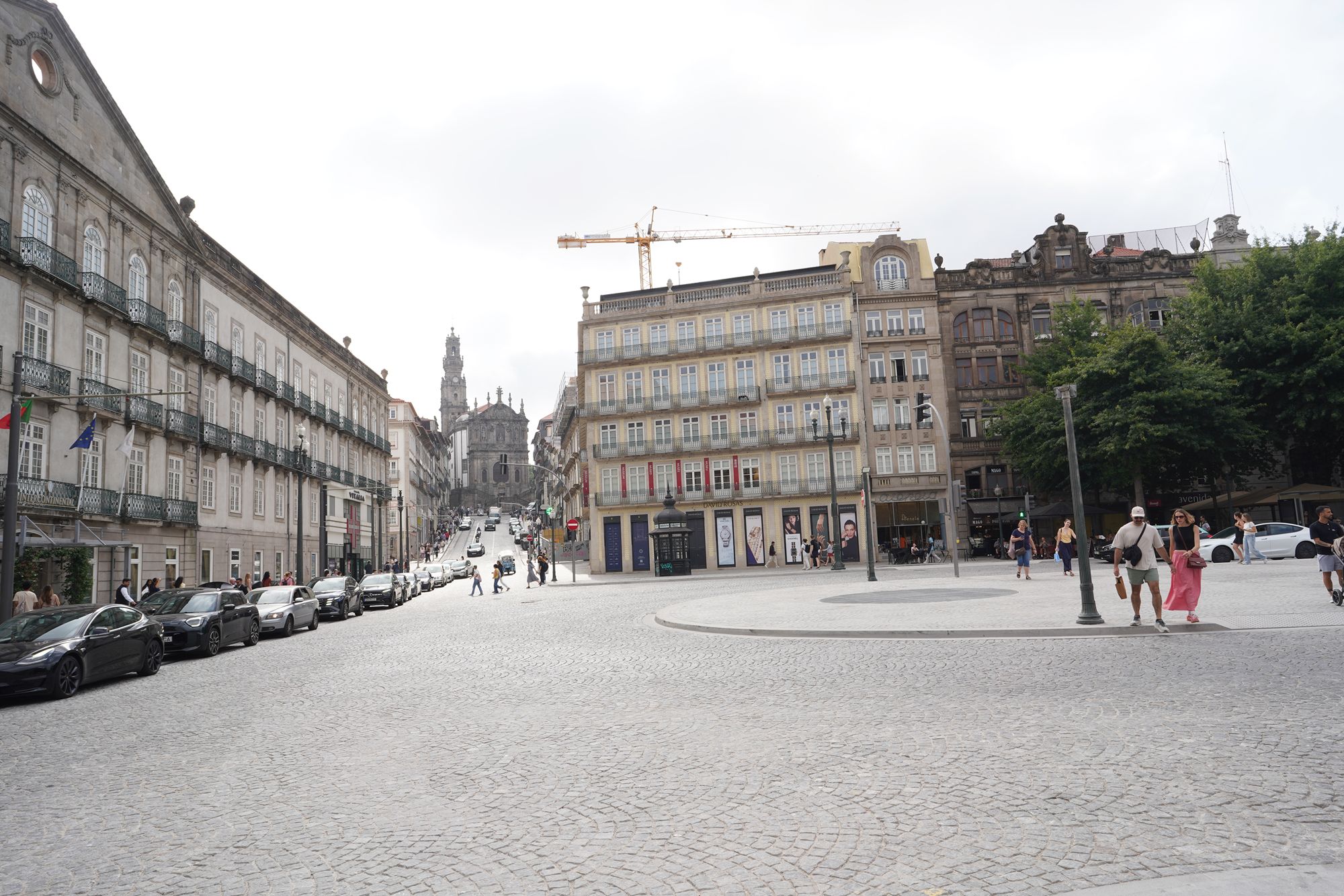
In the distance, I could see Igreja dos Clérigos.
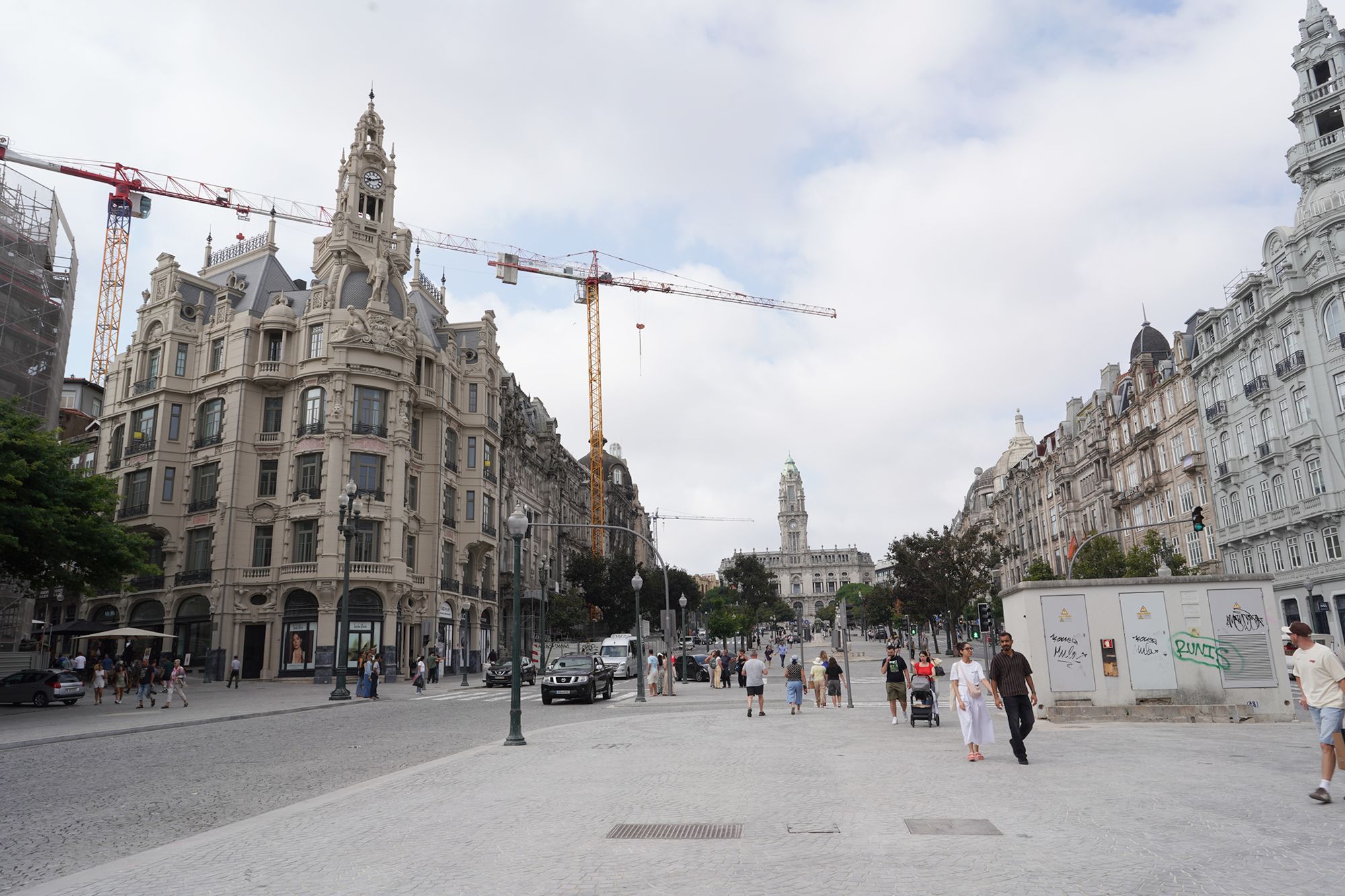
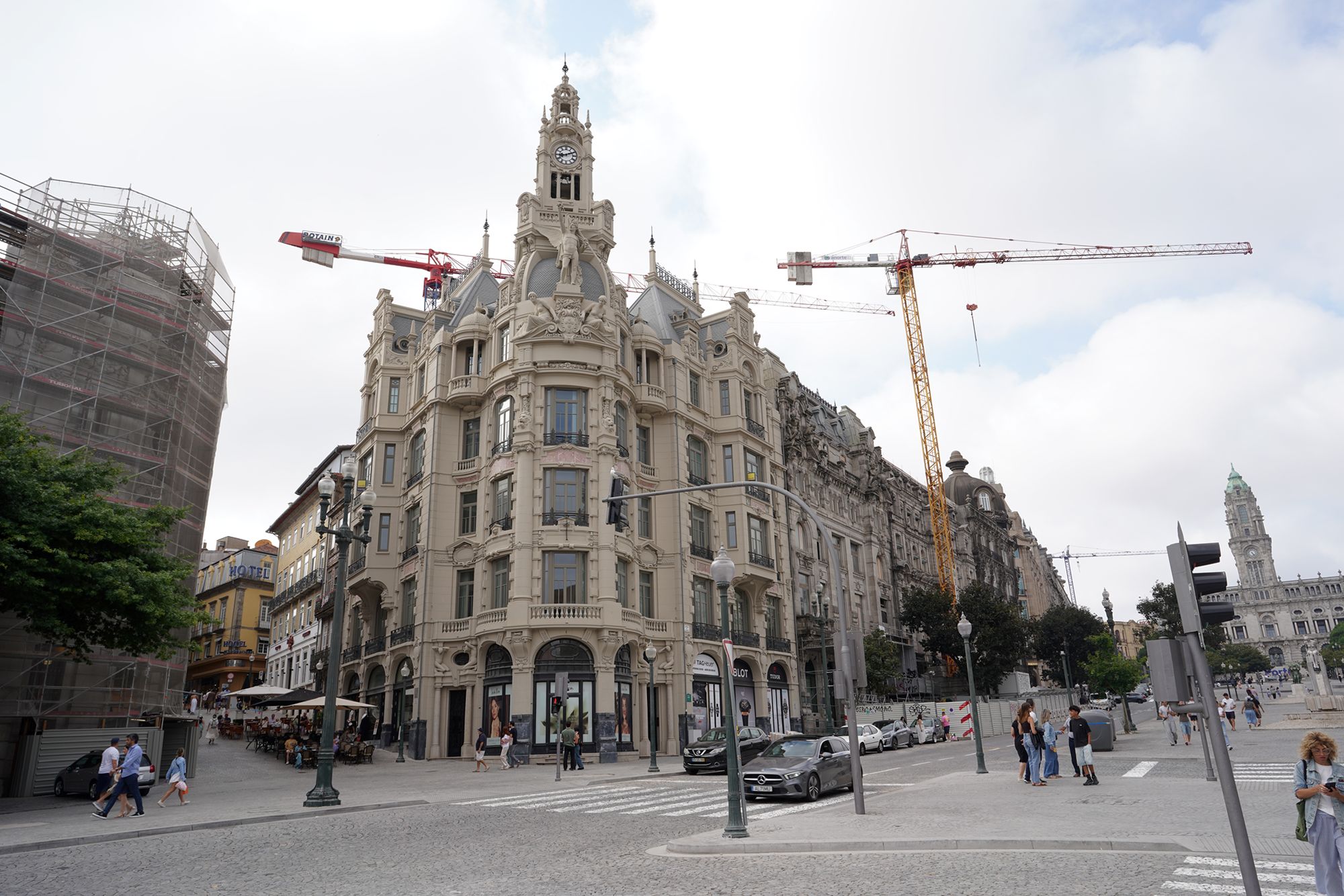
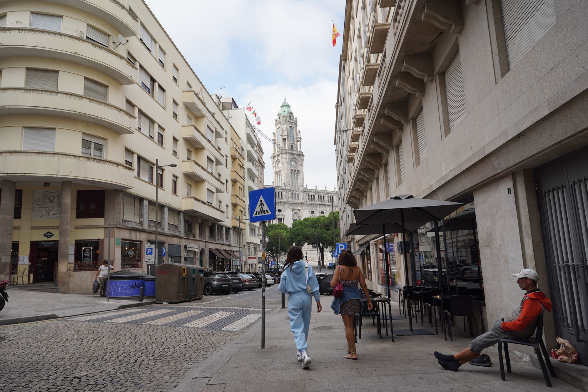
The city hall